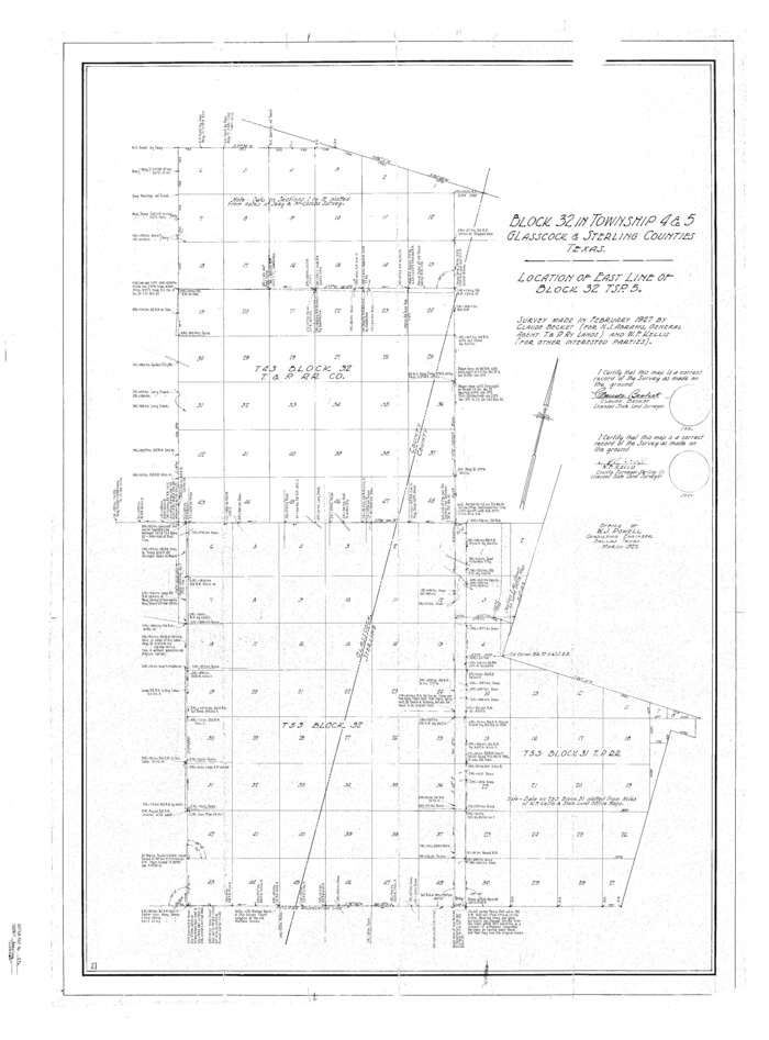
Sterling County Sketch File 17a
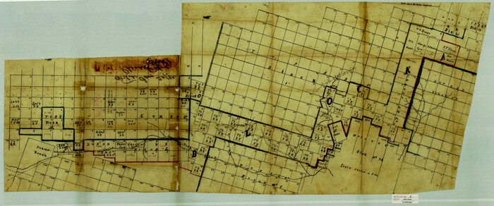
Irion County Sketch File 1
1881

Midland County Rolled Sketch 4

Midland County Rolled Sketch 4B
1951
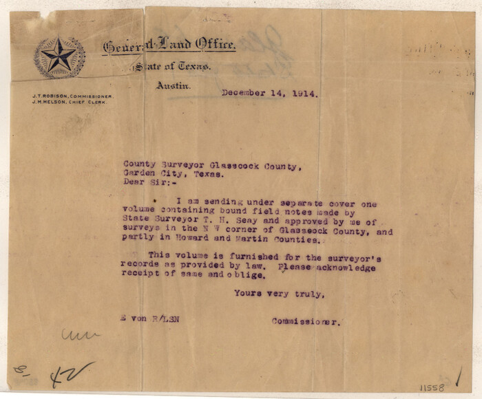
Glasscock County Sketch File 1

Glasscock County Sketch File 2
1931
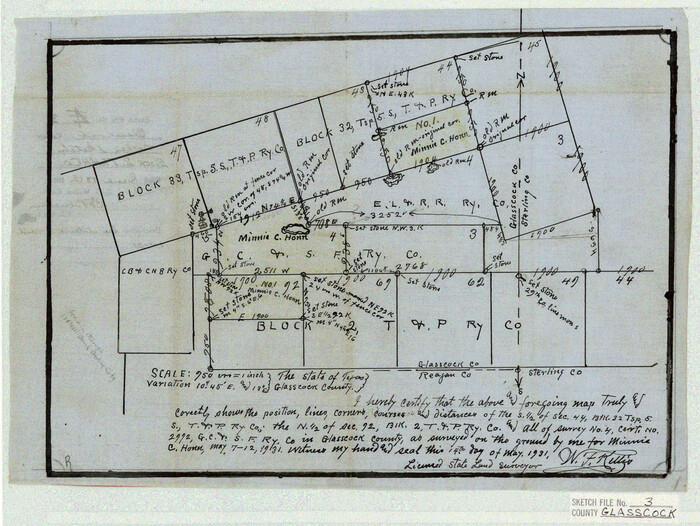
Glasscock County Sketch File 3
1931

Glasscock County Sketch File 5
1929
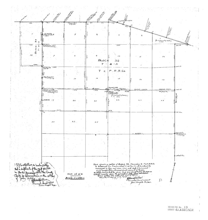
Glasscock County Sketch File 13
1935

Glasscock County Sketch File 19
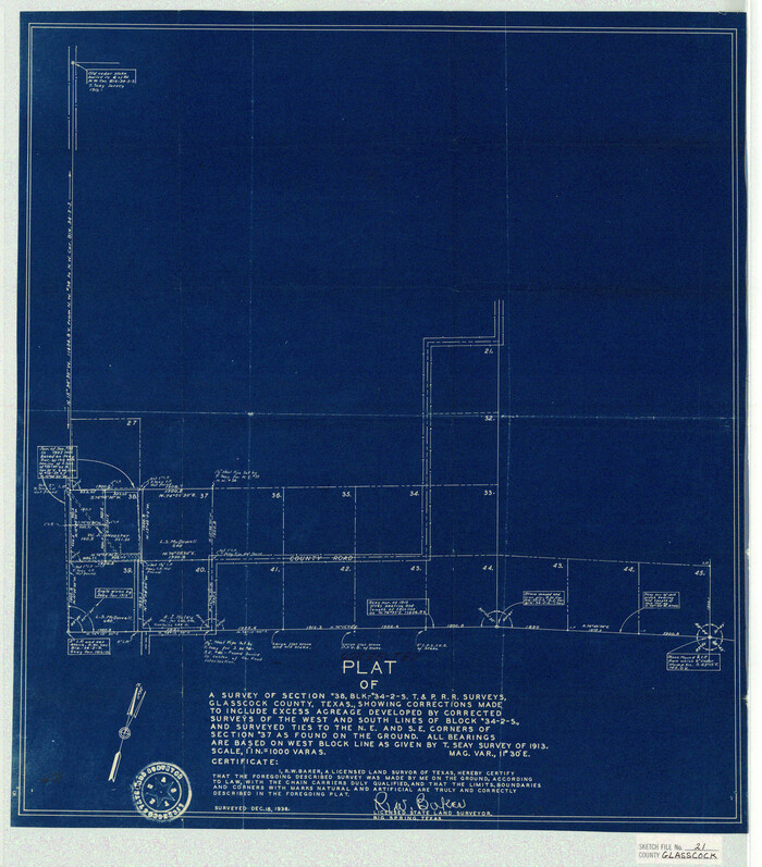
Glasscock County Sketch File 21
1936
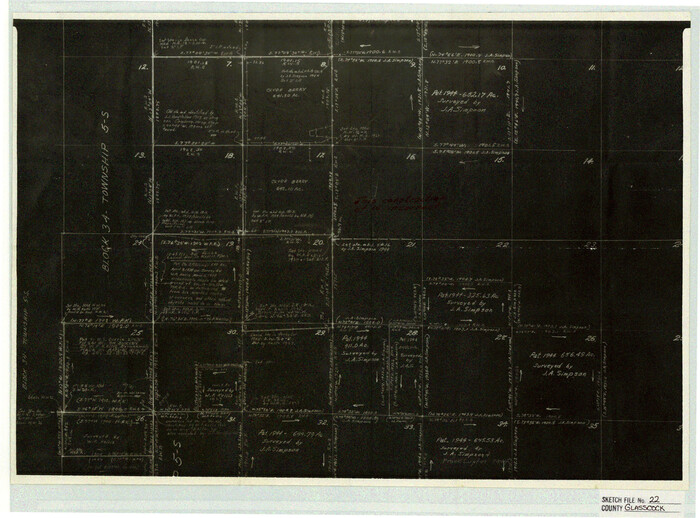
Glasscock County Sketch File 22

Glasscock County Sketch File 25
1951
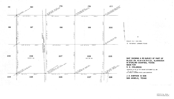
Glasscock County Sketch File 26
1951
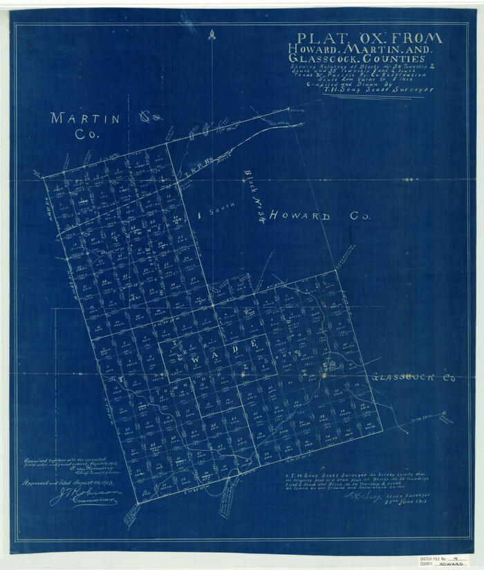
Howard County Sketch File 4

Howard County Sketch File 5

Howard County Sketch File 7

Howard County Sketch File 8
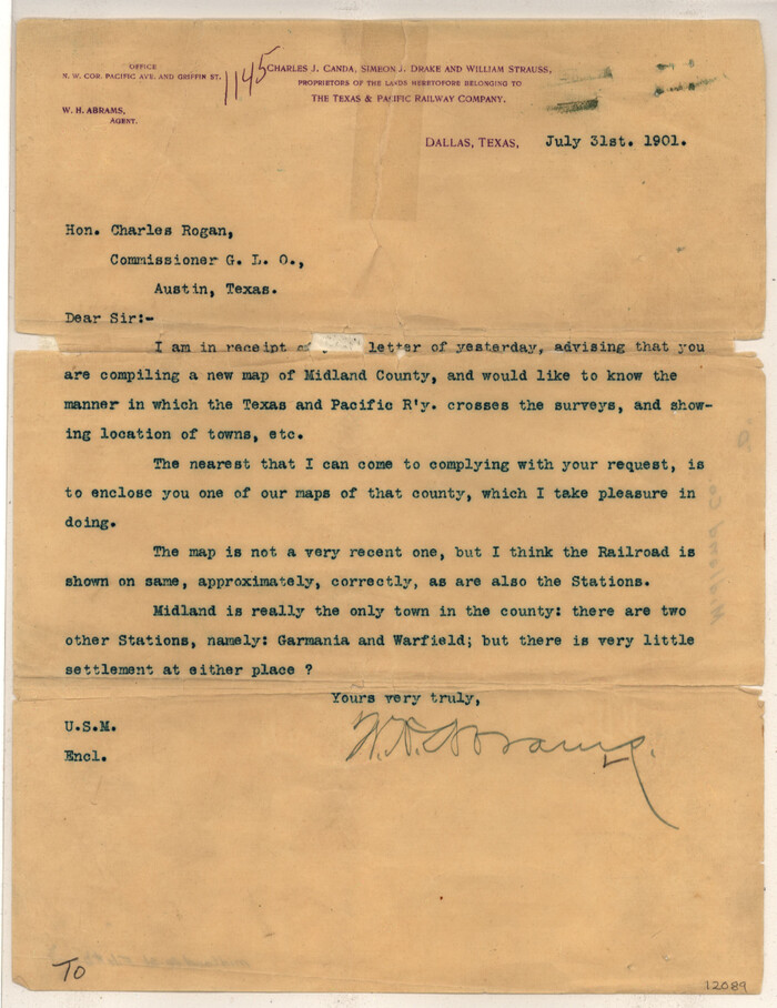
Midland County Sketch File D
1901

Mitchell County Sketch File 12
1912

Reagan County Sketch File 4

Reagan County Sketch File 28
1951
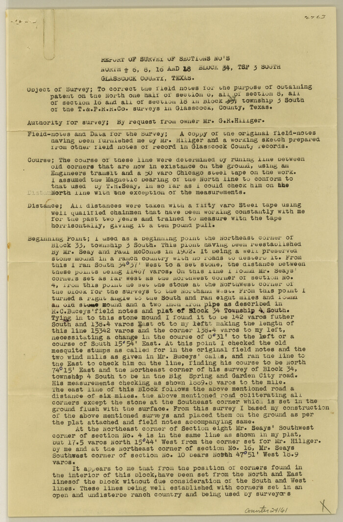
Glasscock County Sketch File 4
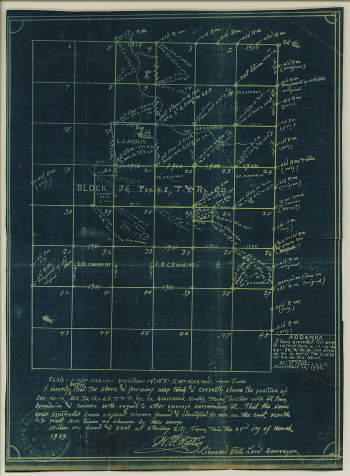
Glasscock County Sketch File 6
1929
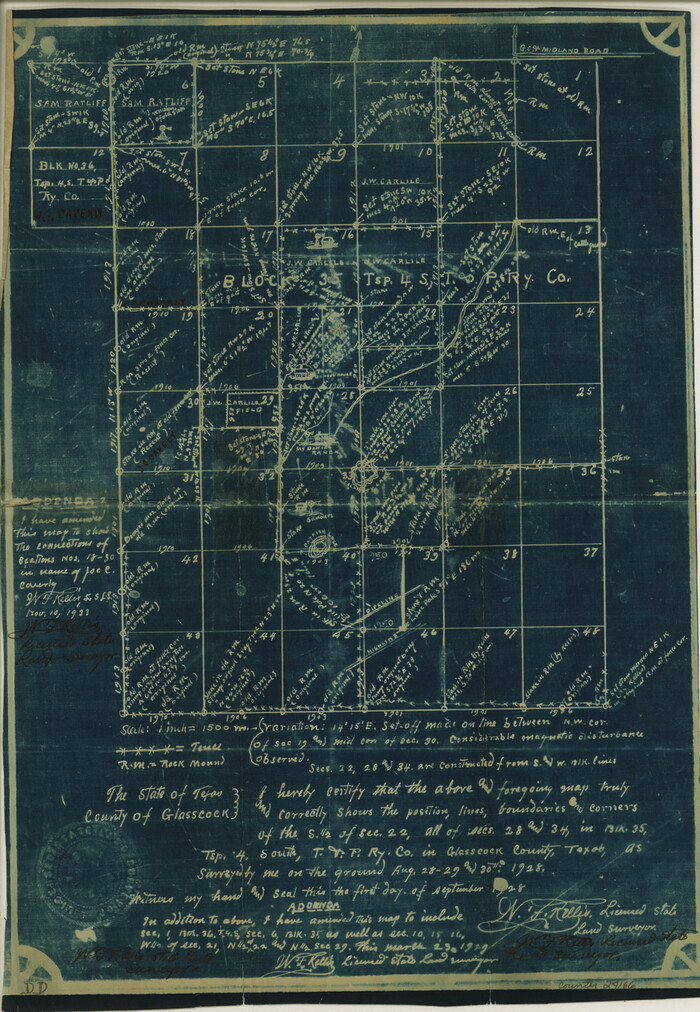
Glasscock County Sketch File 7
1933
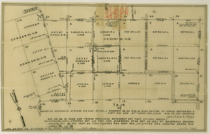
Glasscock County Sketch File 8
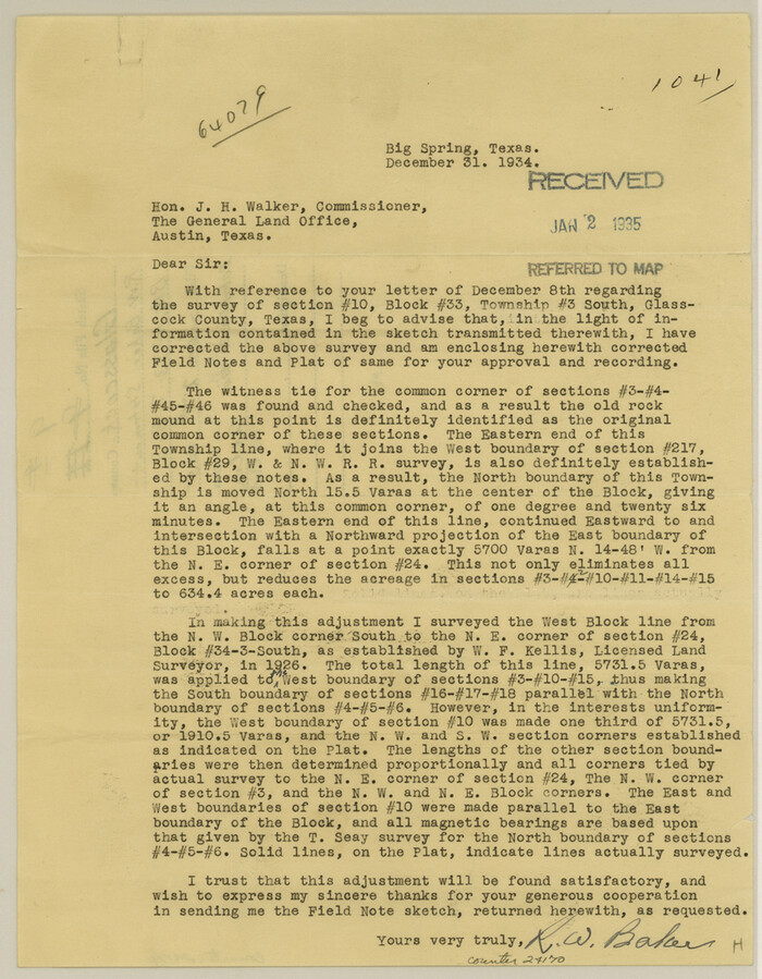
Glasscock County Sketch File 9
1934
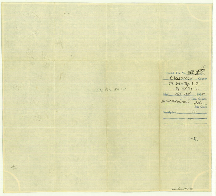
Glasscock County Sketch File 10
1935
Glasscock County Sketch File 11
1933

Sterling County Sketch File 17a
-
Size
42.8 x 31.6 inches
-
Map/Doc
10609

Irion County Sketch File 1
1881
-
Size
43.9 x 18.3 inches
-
Map/Doc
10615
-
Creation Date
1881

Midland County Rolled Sketch 4
-
Size
43.5 x 85.6 inches
-
Map/Doc
10696

Midland County Rolled Sketch 4B
1951
-
Size
77.5 x 25.1 inches
-
Map/Doc
10725
-
Creation Date
1951

Glasscock County Sketch File 1
-
Size
26.1 x 31.8 inches
-
Map/Doc
11558

Glasscock County Sketch File 2
1931
-
Size
35.1 x 16.2 inches
-
Map/Doc
11559
-
Creation Date
1931

Glasscock County Sketch File 3
1931
-
Size
11.1 x 14.8 inches
-
Map/Doc
11560
-
Creation Date
1931

Glasscock County Sketch File 5
1929
-
Size
23.0 x 22.7 inches
-
Map/Doc
11561
-
Creation Date
1929

Glasscock County Sketch File 13
1935
-
Size
18.8 x 17.8 inches
-
Map/Doc
11562
-
Creation Date
1935

Glasscock County Sketch File 19
-
Size
21.4 x 16.8 inches
-
Map/Doc
11563

Glasscock County Sketch File 21
1936
-
Size
23.1 x 20.3 inches
-
Map/Doc
11564
-
Creation Date
1936

Glasscock County Sketch File 22
-
Size
13.8 x 18.6 inches
-
Map/Doc
11565

Glasscock County Sketch File 25
1951
-
Size
28.8 x 20.6 inches
-
Map/Doc
11566
-
Creation Date
1951

Glasscock County Sketch File 26
1951
-
Size
16.1 x 28.3 inches
-
Map/Doc
11567
-
Creation Date
1951

Howard County Sketch File 4
-
Size
25.6 x 21.8 inches
-
Map/Doc
11793

Howard County Sketch File 5
-
Size
20.0 x 12.8 inches
-
Map/Doc
11794

Howard County Sketch File 7
-
Size
21.7 x 13.8 inches
-
Map/Doc
11795

Howard County Sketch File 8
-
Size
20.8 x 18.7 inches
-
Map/Doc
11796

Midland County Sketch File D
1901
-
Size
32.6 x 18.4 inches
-
Map/Doc
12089
-
Creation Date
1901

Mitchell County Sketch File 12
1912
-
Size
25.6 x 14.0 inches
-
Map/Doc
12099
-
Creation Date
1912

Reagan County Sketch File 4
-
Size
20.8 x 29.8 inches
-
Map/Doc
12214

Reagan County Sketch File 28
1951
-
Size
29.6 x 21.7 inches
-
Map/Doc
12224
-
Creation Date
1951
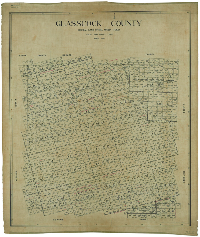
Glasscock County
1933
-
Size
47.0 x 39.2 inches
-
Map/Doc
1839
-
Creation Date
1933

Glasscock County Sketch File 4
-
Size
13.3 x 8.8 inches
-
Map/Doc
24161

Glasscock County Sketch File 6
1929
-
Size
14.8 x 10.9 inches
-
Map/Doc
24164
-
Creation Date
1929

Glasscock County Sketch File 7
1933
-
Size
15.9 x 11.0 inches
-
Map/Doc
24166
-
Creation Date
1933

Glasscock County Sketch File 8
-
Size
9.5 x 14.9 inches
-
Map/Doc
24168

Glasscock County Sketch File 9
1934
-
Size
11.3 x 8.8 inches
-
Map/Doc
24170
-
Creation Date
1934

Glasscock County Sketch File 10
1935
-
Size
11.6 x 12.8 inches
-
Map/Doc
24172
-
Creation Date
1935

Glasscock County Sketch File 11
1933
-
Size
15.7 x 11.4 inches
-
Map/Doc
24174
-
Creation Date
1933