
Andrews County Rolled Sketch 42

Block 33, Township 5 South
1875
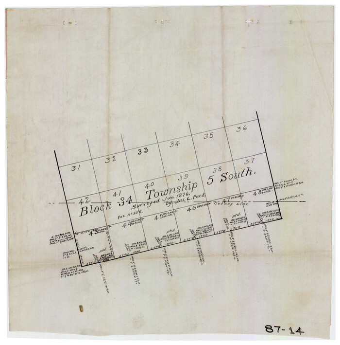
Block 34, Township 5 South
1876
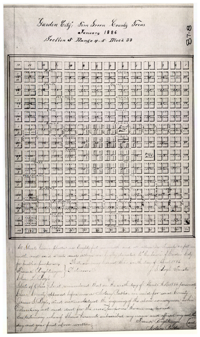
Garden City Townsite, Section 5, Range 4 South, Block 33
1886
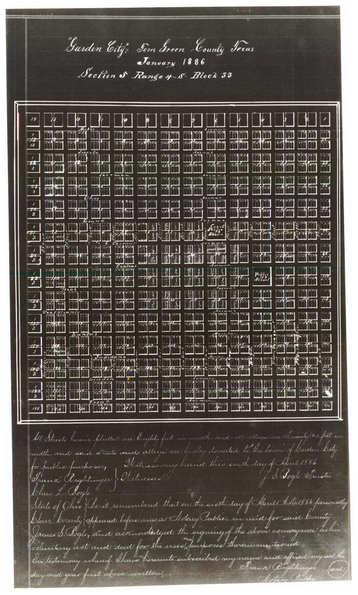
Garden City Townsite, Section 5, Range 4 South, Block 33
1886
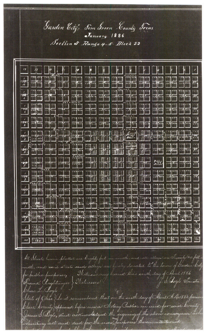
Garden City Townsite, Section 5, Range 4 South, Block 33
1886

General Highway Map, Glasscock County, Texas
1940
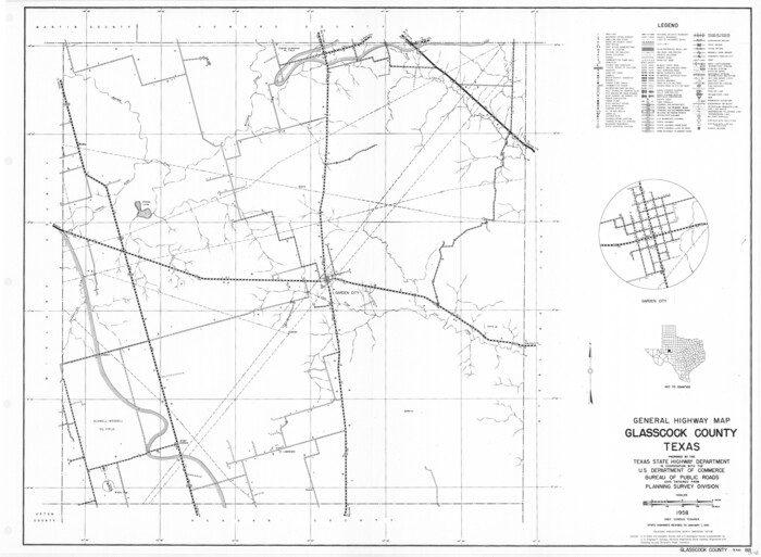
General Highway Map, Glasscock County, Texas
1961

Glasscock County Boundary File 1
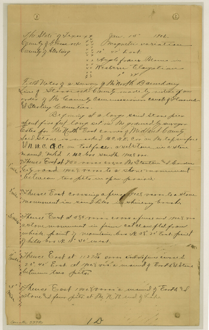
Glasscock County Boundary File 2

Glasscock County Rolled Sketch 1
1906
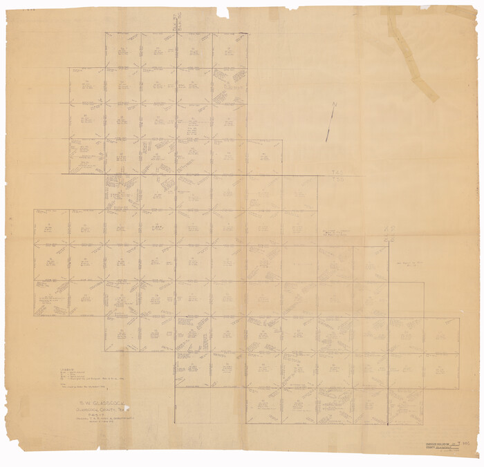
Glasscock County Rolled Sketch 10
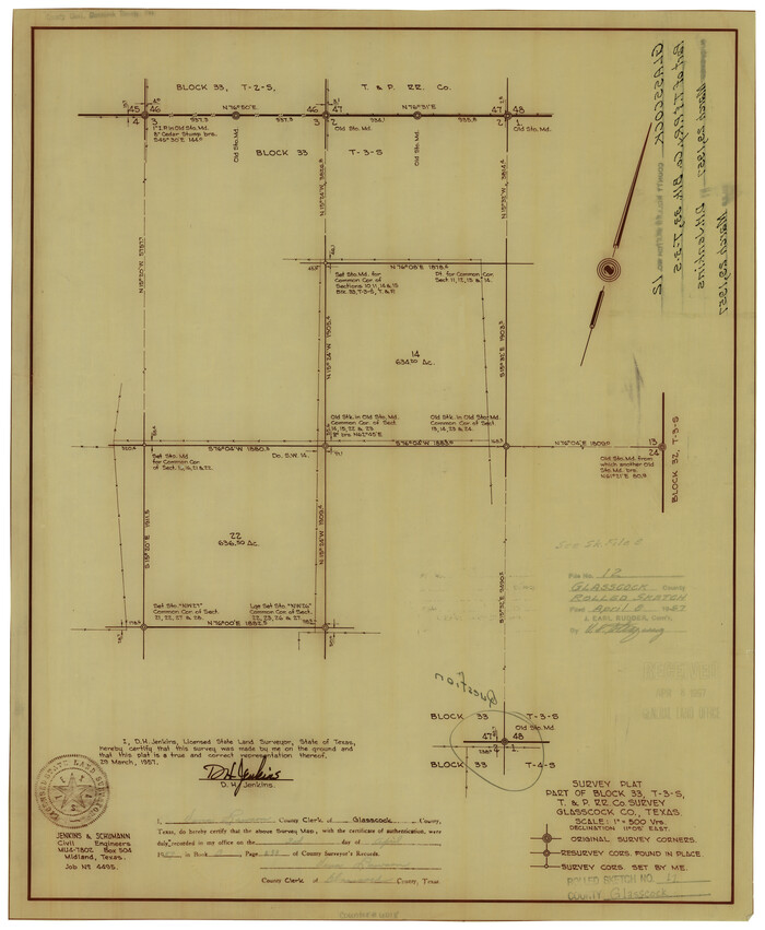
Glasscock County Rolled Sketch 12
1957
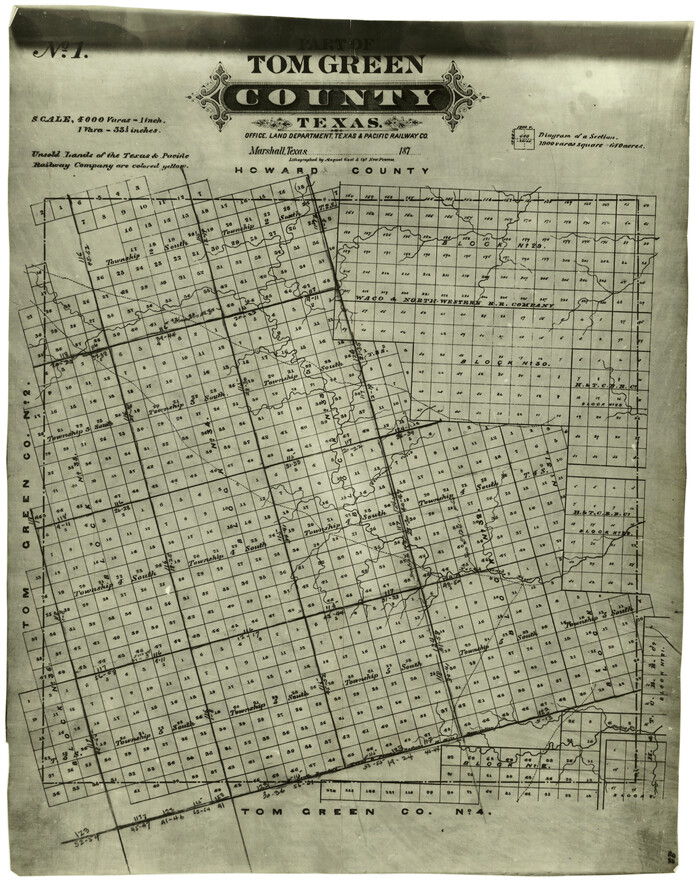
Glasscock County Rolled Sketch 13
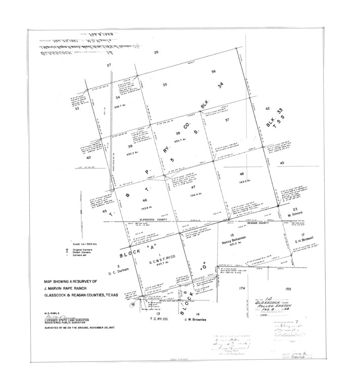
Glasscock County Rolled Sketch 14
1957

Glasscock County Rolled Sketch 15
1964

Glasscock County Rolled Sketch 16
1986

Glasscock County Rolled Sketch 17

Glasscock County Rolled Sketch 18

Glasscock County Rolled Sketch 2
1906
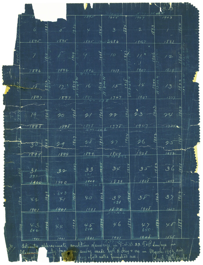
Glasscock County Rolled Sketch 3
1906

Andrews County Rolled Sketch 42
-
Size
27.3 x 36.0 inches
-
Map/Doc
77182

Block 33, Township 5 South
1875
-
Size
8.9 x 9.7 inches
-
Map/Doc
90751
-
Creation Date
1875

Block 34, Township 5 South
1876
-
Size
9.6 x 9.6 inches
-
Map/Doc
90752
-
Creation Date
1876

Garden City
1892
-
Size
32.2 x 31.7 inches
-
Map/Doc
97252
-
Creation Date
1892

Garden City Townsite, Section 5, Range 4 South, Block 33
1886
-
Size
9.0 x 15.4 inches
-
Map/Doc
90761
-
Creation Date
1886

Garden City Townsite, Section 5, Range 4 South, Block 33
1886
-
Size
9.0 x 15.4 inches
-
Map/Doc
90763
-
Creation Date
1886

Garden City Townsite, Section 5, Range 4 South, Block 33
1886
-
Size
9.4 x 14.5 inches
-
Map/Doc
90764
-
Creation Date
1886

General Highway Map, Glasscock County, Texas
1940
-
Size
18.5 x 25.2 inches
-
Map/Doc
79100
-
Creation Date
1940

General Highway Map, Glasscock County, Texas
1961
-
Size
18.2 x 24.8 inches
-
Map/Doc
79480
-
Creation Date
1961
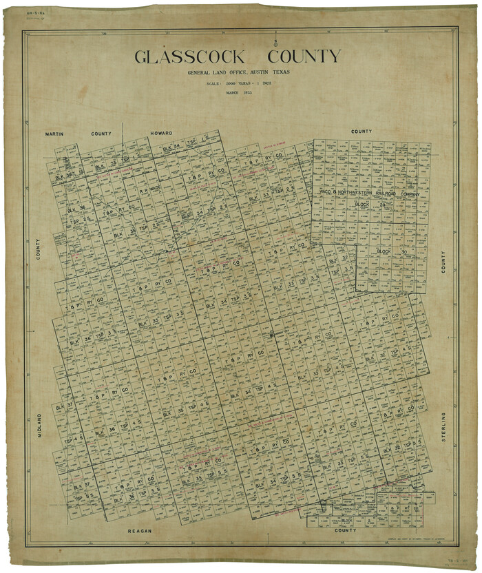
Glasscock County
1933
-
Size
47.0 x 39.2 inches
-
Map/Doc
1839
-
Creation Date
1933
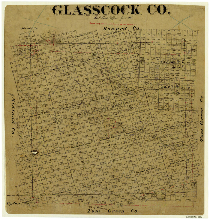
Glasscock County
1887
-
Size
20.5 x 19.5 inches
-
Map/Doc
3584
-
Creation Date
1887

Glasscock County
1899
-
Size
38.1 x 33.9 inches
-
Map/Doc
4707
-
Creation Date
1899
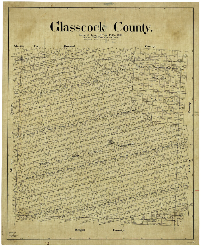
Glasscock County
1899
-
Size
44.2 x 35.5 inches
-
Map/Doc
4957
-
Creation Date
1899
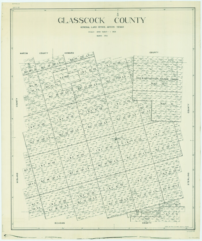
Glasscock County
1933
-
Size
46.4 x 38.8 inches
-
Map/Doc
66838
-
Creation Date
1933

Glasscock County
1933
-
Size
45.1 x 37.6 inches
-
Map/Doc
73158
-
Creation Date
1933
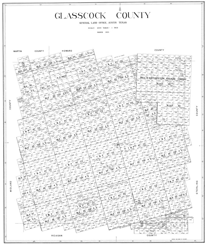
Glasscock County
1933
-
Size
41.1 x 34.7 inches
-
Map/Doc
77290
-
Creation Date
1933
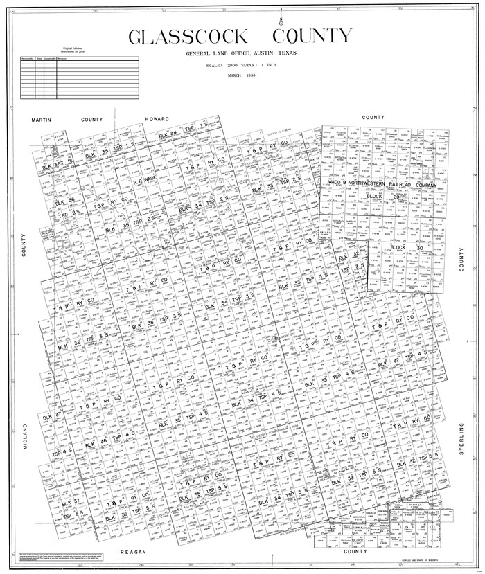
Glasscock County
1933
-
Size
46.2 x 38.6 inches
-
Map/Doc
95508
-
Creation Date
1933

Glasscock County Boundary File 1
-
Size
14.4 x 9.0 inches
-
Map/Doc
53781

Glasscock County Boundary File 2
-
Size
14.4 x 9.1 inches
-
Map/Doc
53790

Glasscock County Rolled Sketch 1
1906
-
Size
37.3 x 33.6 inches
-
Map/Doc
9055
-
Creation Date
1906

Glasscock County Rolled Sketch 10
-
Size
47.6 x 45.9 inches
-
Map/Doc
9058

Glasscock County Rolled Sketch 12
1957
-
Size
19.6 x 16.1 inches
-
Map/Doc
6018
-
Creation Date
1957

Glasscock County Rolled Sketch 13
-
Size
24.9 x 19.4 inches
-
Map/Doc
6019

Glasscock County Rolled Sketch 14
1957
-
Size
29.0 x 26.3 inches
-
Map/Doc
6020
-
Creation Date
1957

Glasscock County Rolled Sketch 15
1964
-
Size
36.5 x 35.8 inches
-
Map/Doc
9059
-
Creation Date
1964

Glasscock County Rolled Sketch 16
1986
-
Size
63.3 x 46.1 inches
-
Map/Doc
9060
-
Creation Date
1986

Glasscock County Rolled Sketch 17
-
Size
21.6 x 27.4 inches
-
Map/Doc
6021

Glasscock County Rolled Sketch 18
-
Size
24.2 x 24.0 inches
-
Map/Doc
96576

Glasscock County Rolled Sketch 2
1906
-
Size
19.6 x 14.8 inches
-
Map/Doc
6013
-
Creation Date
1906

Glasscock County Rolled Sketch 3
1906
-
Size
19.0 x 13.7 inches
-
Map/Doc
6014
-
Creation Date
1906