
Hardeman County Working Sketch 18
2002
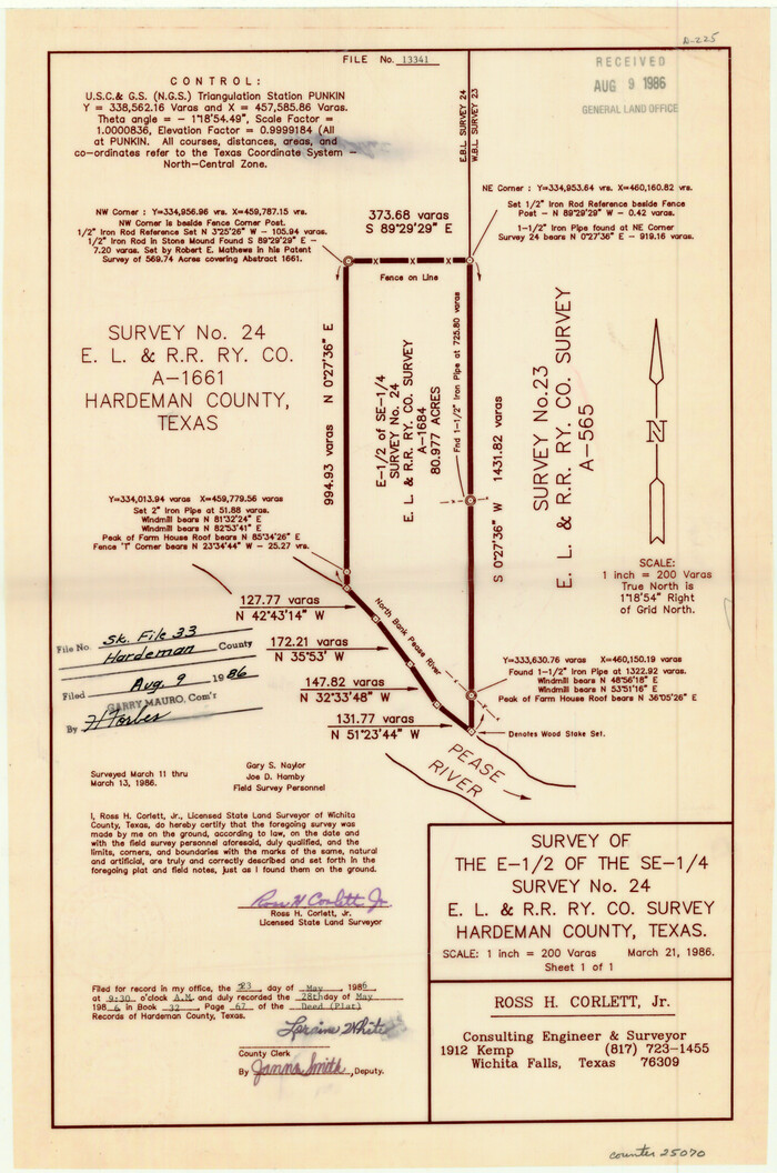
Hardeman County Sketch File 33
1986
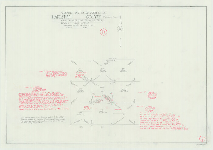
Hardeman County Working Sketch 17
1986
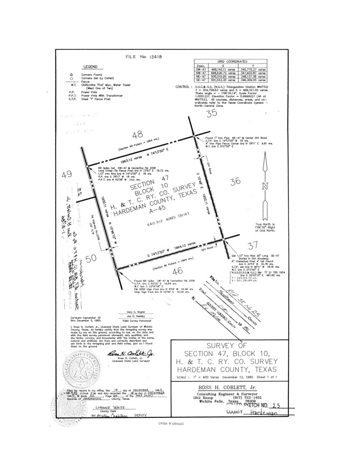
Hardeman County Rolled Sketch 25
1985

Hardeman County Working Sketch 16
1982
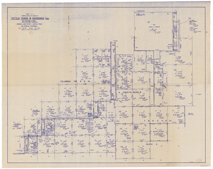
Cottle County Working Sketch 21
1982

Foard County Working Sketch 14
1982

Hardeman County Working Sketch 15
1981
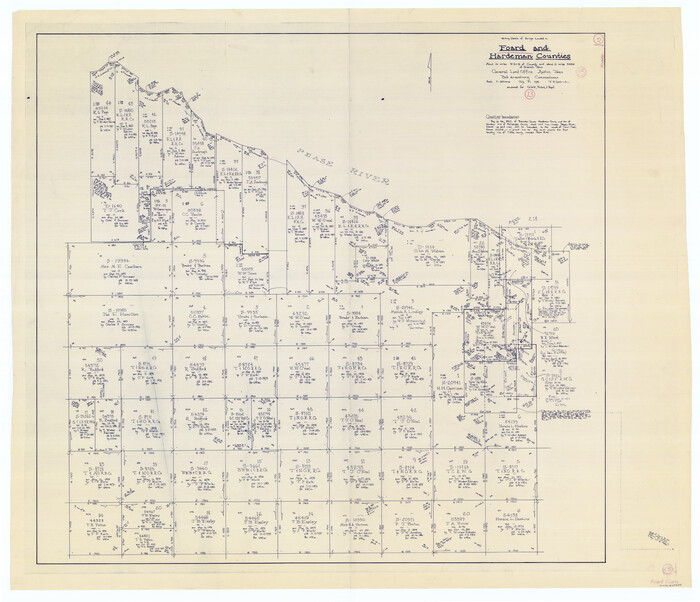
Foard County Working Sketch 13
1981
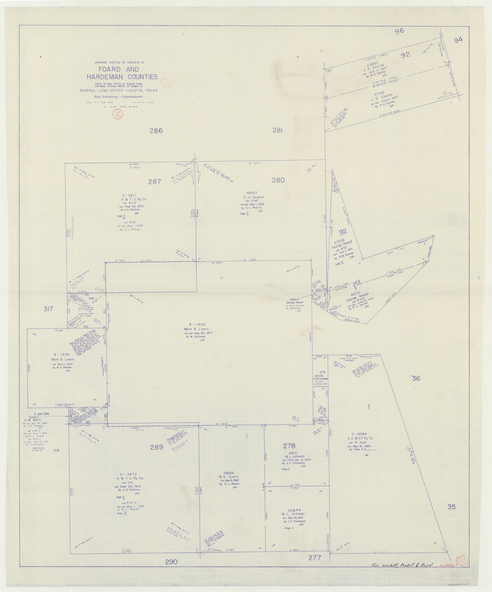
Foard County Working Sketch 12
1977

Hardeman County Working Sketch 13
1966

Cottle County Rolled Sketch 12
1963

Hardeman County Working Sketch 12
1963
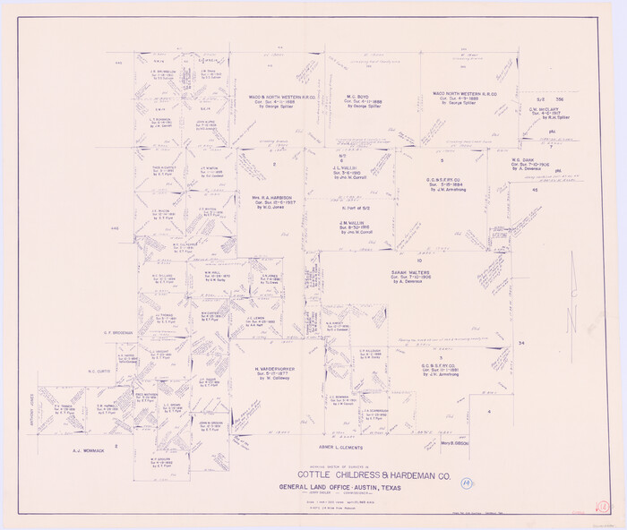
Cottle County Working Sketch 14B
1963
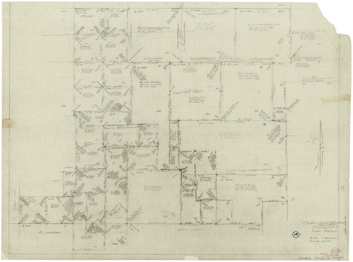
Cottle County Working Sketch 14a
1963

General Highway Map, Hardeman County, Texas
1961

Hardeman County Working Sketch 11
1960
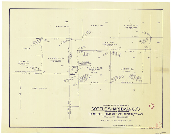
Cottle County Working Sketch 13
1960

Hardeman County Working Sketch 10
1960
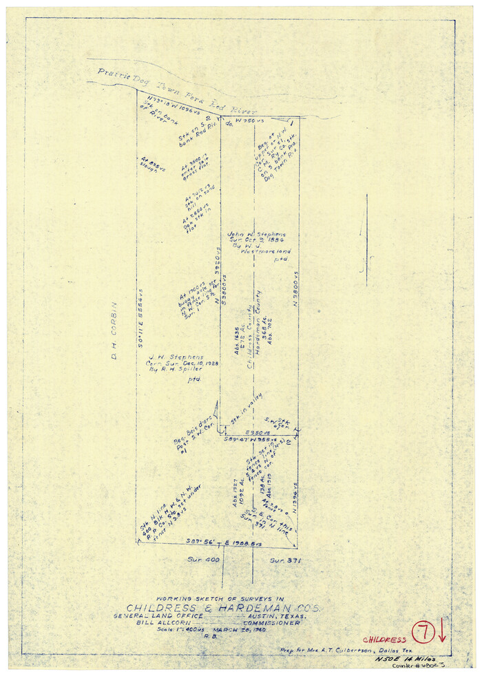
Childress County Working Sketch 7
1960
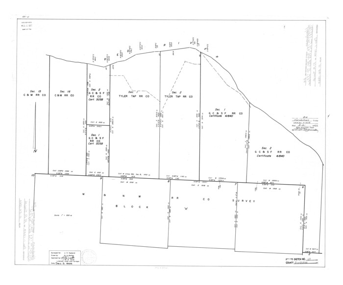
Hardeman County Rolled Sketch 24
1959
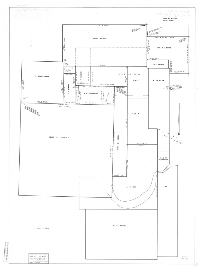
Cottle County Rolled Sketch 12
1959
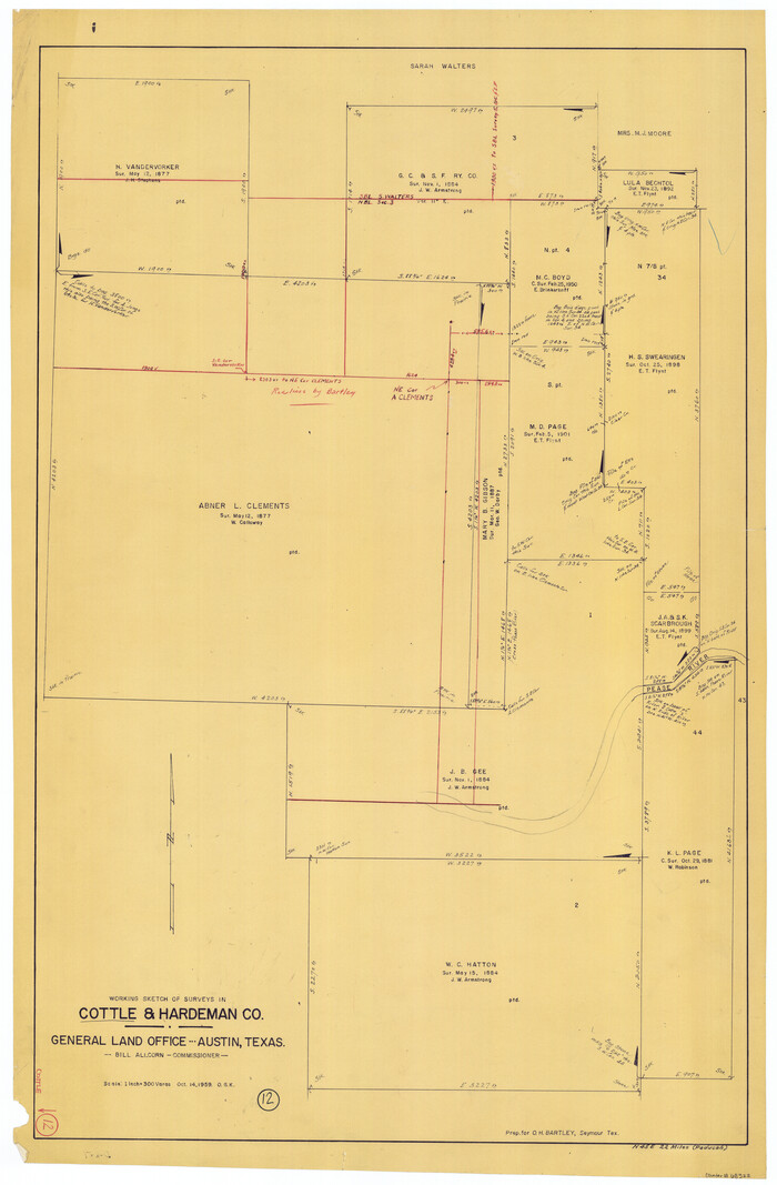
Cottle County Working Sketch 12
1959

Flight Mission No. CZW-3R, Frame 82
1956
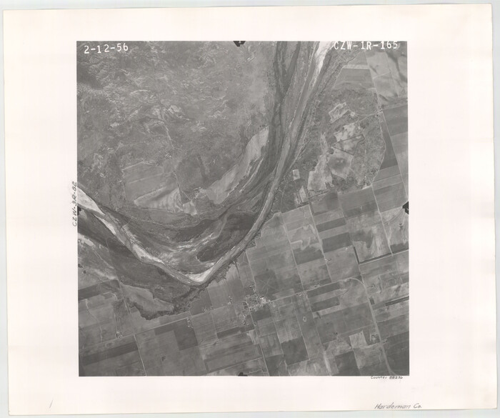
Flight Mission No. CZW-1R, Frame 165, Hardeman County
1956
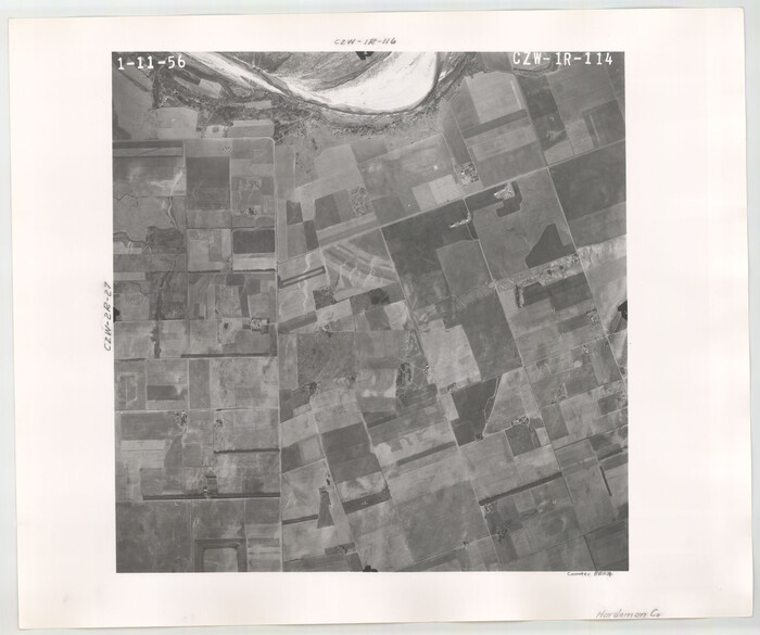
Flight Mission No. CZW-1R, Frame 114, Hardeman County
1956

Flight Mission No. CZW-1R, Frame 116, Hardeman County
1956
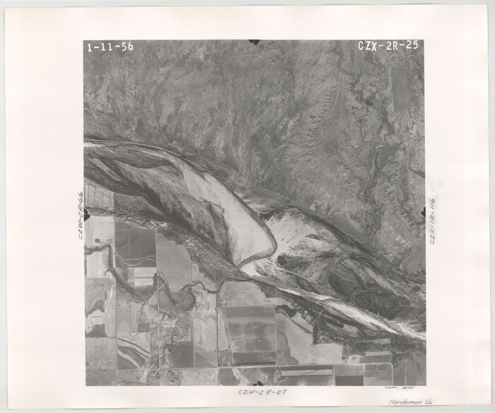
Flight Mission No. CZW-2R, Frame 25, Hardeman County
1956
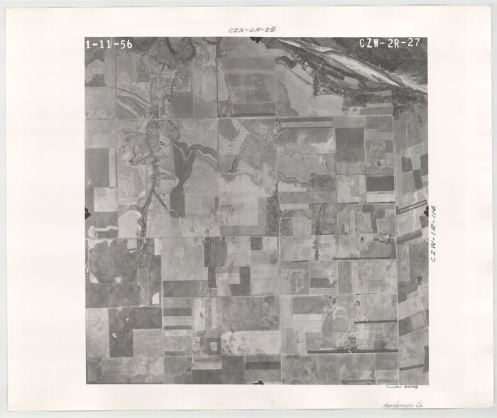
Flight Mission No. CZW-2R, Frame 27, Hardeman County
1956

Flight Mission No. CZW-2R, Frame 66, Hardeman County
1956

Hardeman County Working Sketch 18
2002
-
Size
33.5 x 36.5 inches
-
Map/Doc
76401
-
Creation Date
2002

Hardeman County Sketch File 33
1986
-
Size
17.7 x 11.7 inches
-
Map/Doc
25070
-
Creation Date
1986

Hardeman County Working Sketch 17
1986
-
Size
18.4 x 26.1 inches
-
Map/Doc
63398
-
Creation Date
1986

Hardeman County Rolled Sketch 25
1985
-
Size
20.9 x 15.1 inches
-
Map/Doc
6075
-
Creation Date
1985

Hardeman County Working Sketch 16
1982
-
Size
35.7 x 45.1 inches
-
Map/Doc
63397
-
Creation Date
1982

Cottle County Working Sketch 21
1982
-
Size
37.0 x 46.6 inches
-
Map/Doc
68331
-
Creation Date
1982

Foard County Working Sketch 14
1982
-
Size
37.6 x 46.9 inches
-
Map/Doc
69205
-
Creation Date
1982

Hardeman County Working Sketch 15
1981
-
Size
42.9 x 49.1 inches
-
Map/Doc
63396
-
Creation Date
1981

Foard County Working Sketch 13
1981
-
Size
44.0 x 51.2 inches
-
Map/Doc
69204
-
Creation Date
1981

Foard County Working Sketch 12
1977
-
Size
43.4 x 36.1 inches
-
Map/Doc
69203
-
Creation Date
1977

Hardeman County Working Sketch 13
1966
-
Size
35.8 x 45.7 inches
-
Map/Doc
63394
-
Creation Date
1966

Cottle County Rolled Sketch 12
1963
-
Size
34.2 x 25.7 inches
-
Map/Doc
5549
-
Creation Date
1963

Hardeman County Working Sketch 12
1963
-
Size
31.2 x 54.3 inches
-
Map/Doc
63393
-
Creation Date
1963

Cottle County Working Sketch 14B
1963
-
Size
35.2 x 41.6 inches
-
Map/Doc
61795
-
Creation Date
1963

Cottle County Working Sketch 14a
1963
-
Size
31.2 x 42.1 inches
-
Map/Doc
68324
-
Creation Date
1963

General Highway Map, Hardeman County, Texas
1961
-
Size
24.6 x 18.1 inches
-
Map/Doc
79498
-
Creation Date
1961

Hardeman County Working Sketch 11
1960
-
Size
40.0 x 58.1 inches
-
Map/Doc
63392
-
Creation Date
1960

Cottle County Working Sketch 13
1960
-
Size
19.6 x 25.0 inches
-
Map/Doc
68323
-
Creation Date
1960

Hardeman County Working Sketch 10
1960
-
Size
21.9 x 29.9 inches
-
Map/Doc
63391
-
Creation Date
1960

Childress County Working Sketch 7
1960
-
Size
20.7 x 14.8 inches
-
Map/Doc
68023
-
Creation Date
1960

Hardeman County Rolled Sketch 24
1959
-
Size
26.8 x 32.2 inches
-
Map/Doc
6074
-
Creation Date
1959

Cottle County Rolled Sketch 12
1959
-
Size
41.1 x 30.9 inches
-
Map/Doc
5570
-
Creation Date
1959

Cottle County Working Sketch 12
1959
-
Size
39.1 x 25.7 inches
-
Map/Doc
68322
-
Creation Date
1959

Flight Mission No. CZW-3R, Frame 82
1956
-
Size
18.6 x 22.3 inches
-
Map/Doc
85240
-
Creation Date
1956

Flight Mission No. CZW-1R, Frame 165, Hardeman County
1956
-
Size
18.7 x 22.4 inches
-
Map/Doc
85236
-
Creation Date
1956

Flight Mission No. CZW-1R, Frame 114, Hardeman County
1956
-
Size
18.9 x 22.6 inches
-
Map/Doc
85234
-
Creation Date
1956

Flight Mission No. CZW-1R, Frame 116, Hardeman County
1956
-
Size
18.6 x 19.0 inches
-
Map/Doc
85235
-
Creation Date
1956

Flight Mission No. CZW-2R, Frame 25, Hardeman County
1956
-
Size
18.7 x 22.4 inches
-
Map/Doc
85237
-
Creation Date
1956

Flight Mission No. CZW-2R, Frame 27, Hardeman County
1956
-
Size
18.8 x 22.4 inches
-
Map/Doc
85238
-
Creation Date
1956

Flight Mission No. CZW-2R, Frame 66, Hardeman County
1956
-
Size
18.6 x 22.4 inches
-
Map/Doc
85239
-
Creation Date
1956