Atlas T - Titles to Frontier Settlers issued by the Commissioner Carlos S. Taylor


Atlas T - Titles to Frontier Settlers issued by the Commissioner Carlos S. Taylor
1834
94536
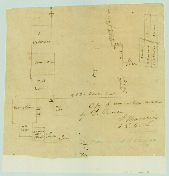
Copy of connection made by E. Sewell

Print $2.00
- Digital $50.00
Copy of connection made by E. Sewell
1841
Size: 9.4 x 9.0 inches
161
English Field Notes of the Spanish Archives - Book 4 & W


English Field Notes of the Spanish Archives - Book 4 & W
1836
96530
English Field Notes of the Spanish Archives - Books DB3 & WR


English Field Notes of the Spanish Archives - Books DB3 & WR
1835
96548
English Field Notes of the Spanish Archives - Books DBE, WBPS, GAN, WB3, and X


English Field Notes of the Spanish Archives - Books DBE, WBPS, GAN, WB3, and X
1835
96546
English Field Notes of the Spanish Archives - Books GMP, FH, SCH, and JAV


English Field Notes of the Spanish Archives - Books GMP, FH, SCH, and JAV
1835
96545
English Field Notes of the Spanish Archives - Books SAS, DB4, GWS, JWB, and JWB3


English Field Notes of the Spanish Archives - Books SAS, DB4, GWS, JWB, and JWB3
1835
96551
English Field Notes of the Spanish Archives - Books TJG, DB, A, A2, B, B2, WB, and WR


English Field Notes of the Spanish Archives - Books TJG, DB, A, A2, B, B2, WB, and WR
1835
96553
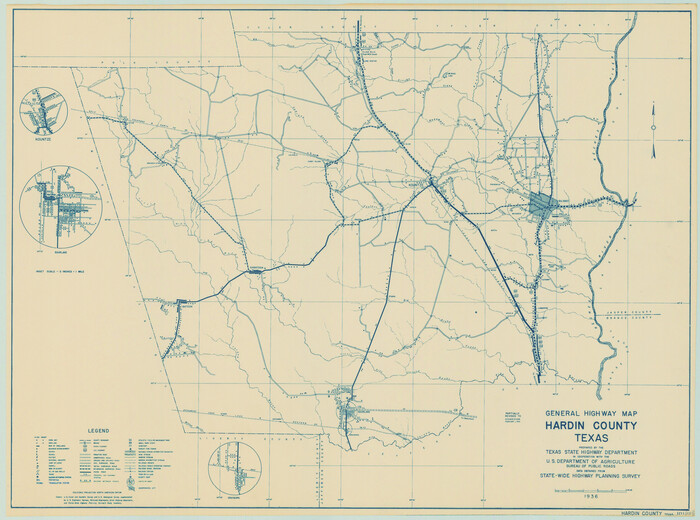
General Highway Map, Hardin County, Texas

Print $20.00
General Highway Map, Hardin County, Texas
1940
Size: 18.4 x 24.8 inches
79114
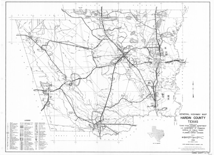
General Highway Map, Hardin County, Texas

Print $20.00
General Highway Map, Hardin County, Texas
1961
Size: 18.1 x 24.9 inches
79499
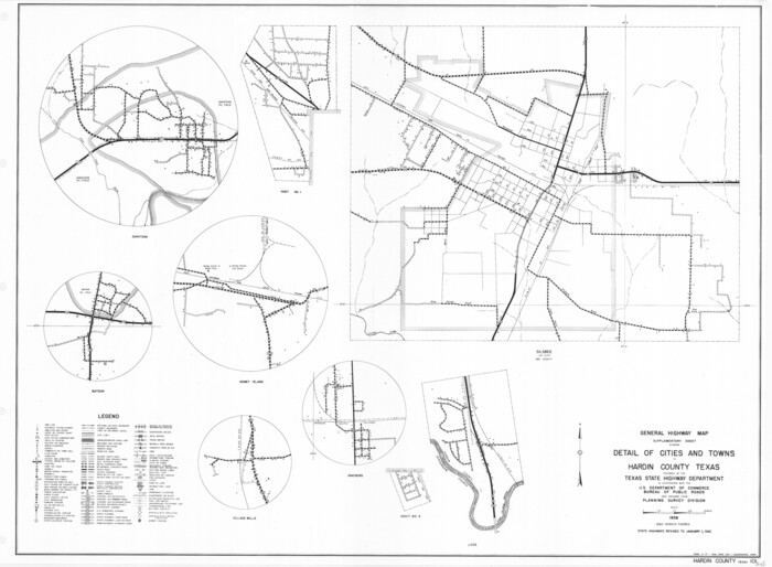
General Highway Map. Detail of Cities and Towns in Hardin County, Texas [Silsbee and vicinity]

Print $20.00
General Highway Map. Detail of Cities and Towns in Hardin County, Texas [Silsbee and vicinity]
1961
Size: 18.1 x 24.7 inches
79500
Gulf, Beaumont & Kansas City Railway


Print $40.00
- Digital $50.00
Gulf, Beaumont & Kansas City Railway
1909
Size: 25.1 x 92.5 inches
64435
Hardin County Boundary File 40


Print $14.00
- Digital $50.00
Hardin County Boundary File 40
Size: 9.0 x 3.5 inches
54409
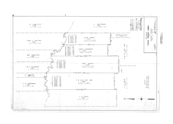
Hardin County Rolled Sketch 10

Print $20.00
- Digital $50.00
Hardin County Rolled Sketch 10
1948
Size: 23.7 x 33.0 inches
6082
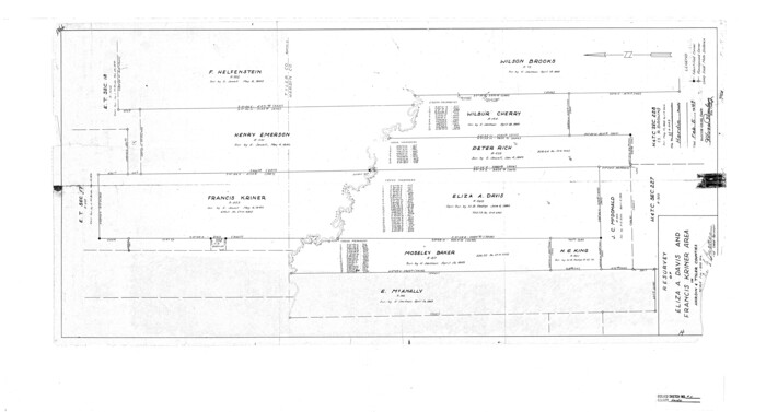
Hardin County Rolled Sketch 11

Print $20.00
- Digital $50.00
Hardin County Rolled Sketch 11
1948
Size: 20.8 x 38.6 inches
6083
Hardin County Rolled Sketch 12


Print $20.00
- Digital $50.00
Hardin County Rolled Sketch 12
1949
Size: 36.3 x 47.3 inches
10200
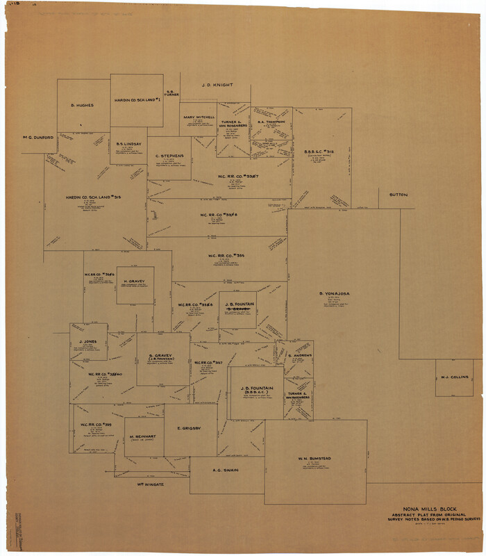
Hardin County Rolled Sketch 13

Print $20.00
- Digital $50.00
Hardin County Rolled Sketch 13
Size: 47.1 x 41.3 inches
76012
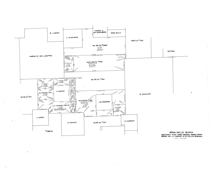
Hardin County Rolled Sketch 13

Print $20.00
- Digital $50.00
Hardin County Rolled Sketch 13
Size: 36.0 x 42.3 inches
9187
Hardin County Rolled Sketch 13
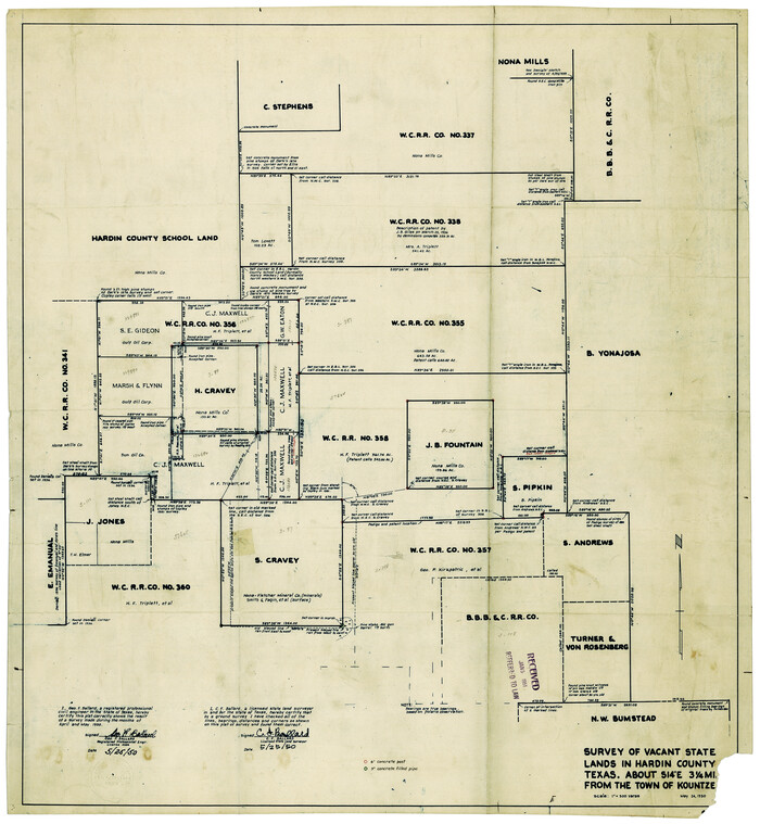

Print $20.00
- Digital $50.00
Hardin County Rolled Sketch 13
1950
Size: 29.8 x 27.4 inches
9188
Hardin County Rolled Sketch 15


Print $20.00
- Digital $50.00
Hardin County Rolled Sketch 15
1938
Size: 30.9 x 23.7 inches
6084
Atlas T - Titles to Frontier Settlers issued by the Commissioner Carlos S. Taylor


Atlas T - Titles to Frontier Settlers issued by the Commissioner Carlos S. Taylor
1834
-
Map/Doc
94536
-
Creation Date
1834
Copy of connection made by E. Sewell


Print $2.00
- Digital $50.00
Copy of connection made by E. Sewell
1841
-
Size
9.4 x 9.0 inches
-
Map/Doc
161
-
Creation Date
1841
English Field Notes of the Spanish Archives - Book 4 & W


English Field Notes of the Spanish Archives - Book 4 & W
1836
-
Map/Doc
96530
-
Creation Date
1836
English Field Notes of the Spanish Archives - Books DB3 & WR


English Field Notes of the Spanish Archives - Books DB3 & WR
1835
-
Map/Doc
96548
-
Creation Date
1835
English Field Notes of the Spanish Archives - Books DBE, WBPS, GAN, WB3, and X


English Field Notes of the Spanish Archives - Books DBE, WBPS, GAN, WB3, and X
1835
-
Map/Doc
96546
-
Creation Date
1835
English Field Notes of the Spanish Archives - Books GMP, FH, SCH, and JAV


English Field Notes of the Spanish Archives - Books GMP, FH, SCH, and JAV
1835
-
Map/Doc
96545
-
Creation Date
1835
English Field Notes of the Spanish Archives - Books SAS, DB4, GWS, JWB, and JWB3


English Field Notes of the Spanish Archives - Books SAS, DB4, GWS, JWB, and JWB3
1835
-
Map/Doc
96551
-
Creation Date
1835
English Field Notes of the Spanish Archives - Books TJG, DB, A, A2, B, B2, WB, and WR


English Field Notes of the Spanish Archives - Books TJG, DB, A, A2, B, B2, WB, and WR
1835
-
Map/Doc
96553
-
Creation Date
1835
General Highway Map, Hardin County, Texas


Print $20.00
General Highway Map, Hardin County, Texas
1940
-
Size
18.4 x 24.8 inches
-
Map/Doc
79114
-
Creation Date
1940
General Highway Map, Hardin County, Texas


Print $20.00
General Highway Map, Hardin County, Texas
1961
-
Size
18.1 x 24.9 inches
-
Map/Doc
79499
-
Creation Date
1961
General Highway Map. Detail of Cities and Towns in Hardin County, Texas [Silsbee and vicinity]
![79500, General Highway Map. Detail of Cities and Towns in Hardin County, Texas [Silsbee and vicinity], Texas State Library and Archives](https://historictexasmaps.com/wmedia_w700/maps/79500.tif.jpg)
![79500, General Highway Map. Detail of Cities and Towns in Hardin County, Texas [Silsbee and vicinity], Texas State Library and Archives](https://historictexasmaps.com/wmedia_w700/maps/79500.tif.jpg)
Print $20.00
General Highway Map. Detail of Cities and Towns in Hardin County, Texas [Silsbee and vicinity]
1961
-
Size
18.1 x 24.7 inches
-
Map/Doc
79500
-
Creation Date
1961
Gulf, Beaumont & Kansas City Railway


Print $40.00
- Digital $50.00
Gulf, Beaumont & Kansas City Railway
1909
-
Size
25.1 x 92.5 inches
-
Map/Doc
64435
-
Creation Date
1909
Hardin County
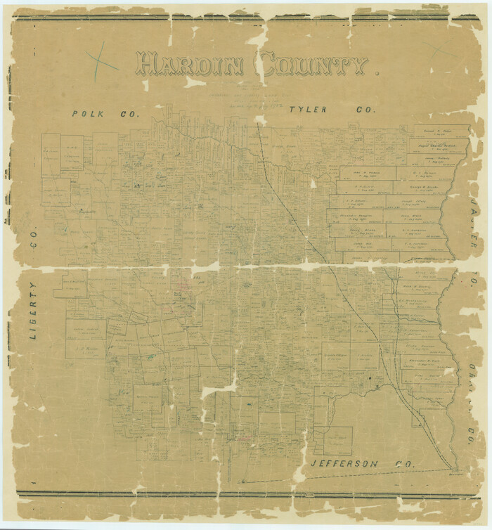

Print $20.00
- Digital $50.00
Hardin County
1894
-
Size
46.8 x 43.4 inches
-
Map/Doc
16846
-
Creation Date
1894
Hardin County
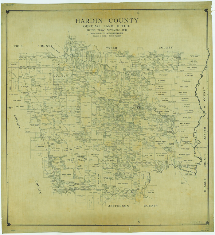

Print $20.00
- Digital $50.00
Hardin County
1940
-
Size
47.8 x 43.6 inches
-
Map/Doc
1849
-
Creation Date
1940
Hardin County


Print $20.00
- Digital $50.00
Hardin County
1871
-
Size
19.7 x 21.6 inches
-
Map/Doc
3626
-
Creation Date
1871
Hardin County
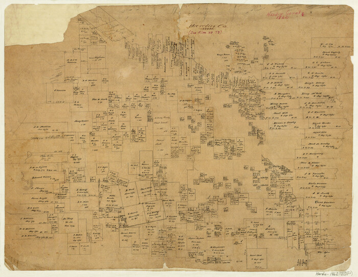

Print $20.00
- Digital $50.00
Hardin County
1862
-
Size
17.3 x 22.2 inches
-
Map/Doc
3628
-
Creation Date
1862
Hardin County
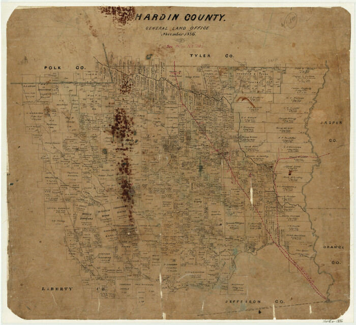

Print $20.00
- Digital $50.00
Hardin County
1886
-
Size
20.1 x 22.0 inches
-
Map/Doc
3631
-
Creation Date
1886
Hardin County
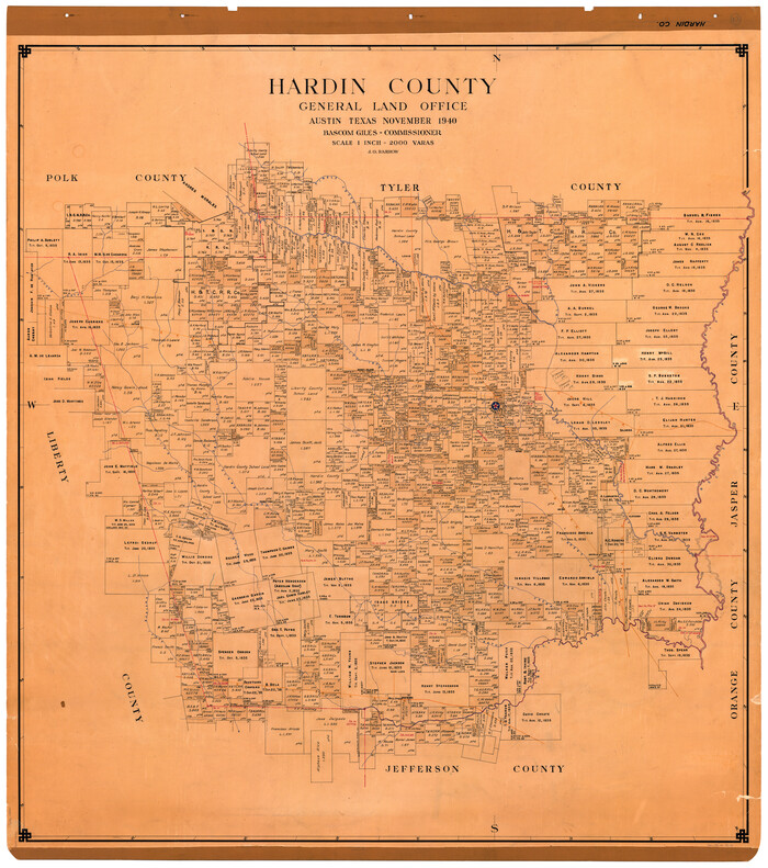

Print $20.00
- Digital $50.00
Hardin County
1940
-
Size
47.4 x 42.4 inches
-
Map/Doc
73171
-
Creation Date
1940
Hardin County
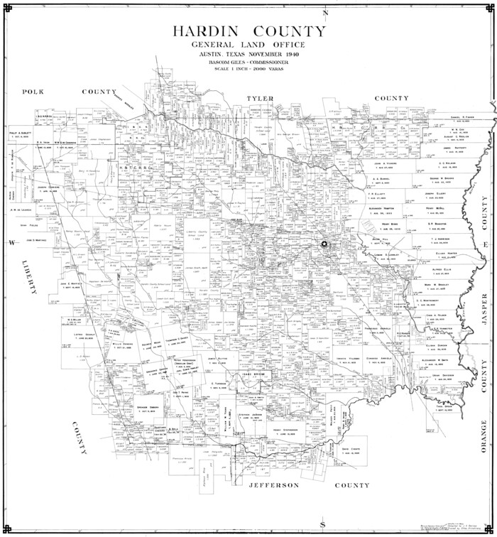

Print $20.00
- Digital $50.00
Hardin County
1940
-
Size
40.7 x 37.7 inches
-
Map/Doc
77303
-
Creation Date
1940
Hardin County


Print $20.00
Hardin County
1898
-
Size
40.0 x 45.5 inches
-
Map/Doc
88947
-
Creation Date
1898
Hardin County
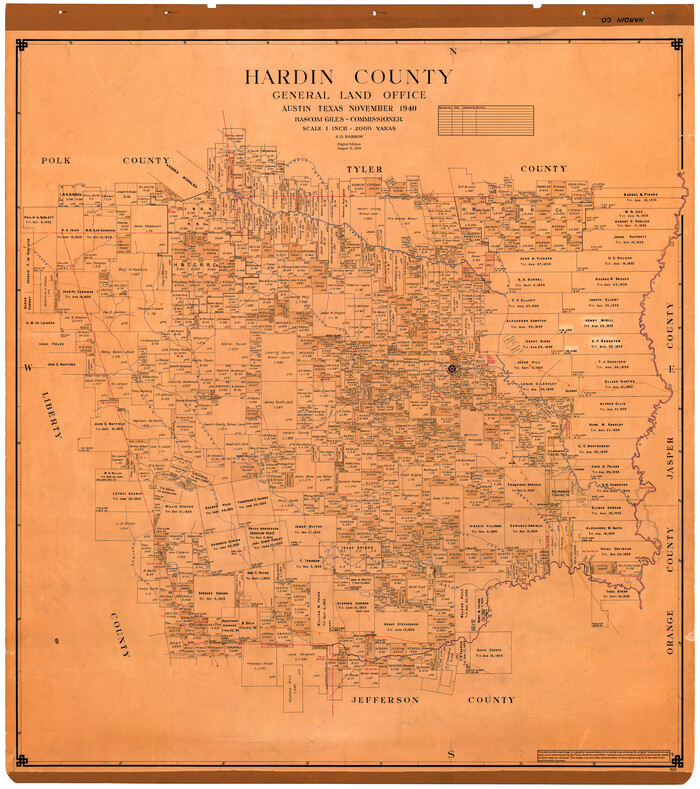

Print $40.00
- Digital $50.00
Hardin County
1940
-
Size
48.8 x 44.3 inches
-
Map/Doc
95521
-
Creation Date
1940
Hardin County Boundary File 40


Print $14.00
- Digital $50.00
Hardin County Boundary File 40
-
Size
9.0 x 3.5 inches
-
Map/Doc
54409
Hardin County Rolled Sketch 10


Print $20.00
- Digital $50.00
Hardin County Rolled Sketch 10
1948
-
Size
23.7 x 33.0 inches
-
Map/Doc
6082
-
Creation Date
1948
Hardin County Rolled Sketch 11


Print $20.00
- Digital $50.00
Hardin County Rolled Sketch 11
1948
-
Size
20.8 x 38.6 inches
-
Map/Doc
6083
-
Creation Date
1948
Hardin County Rolled Sketch 12


Print $20.00
- Digital $50.00
Hardin County Rolled Sketch 12
1949
-
Size
36.3 x 47.3 inches
-
Map/Doc
10200
-
Creation Date
1949
Hardin County Rolled Sketch 13


Print $20.00
- Digital $50.00
Hardin County Rolled Sketch 13
-
Size
47.1 x 41.3 inches
-
Map/Doc
76012
Hardin County Rolled Sketch 13


Print $20.00
- Digital $50.00
Hardin County Rolled Sketch 13
-
Size
36.0 x 42.3 inches
-
Map/Doc
9187
Hardin County Rolled Sketch 13


Print $20.00
- Digital $50.00
Hardin County Rolled Sketch 13
1950
-
Size
29.8 x 27.4 inches
-
Map/Doc
9188
-
Creation Date
1950
Hardin County Rolled Sketch 15


Print $20.00
- Digital $50.00
Hardin County Rolled Sketch 15
1938
-
Size
30.9 x 23.7 inches
-
Map/Doc
6084
-
Creation Date
1938
