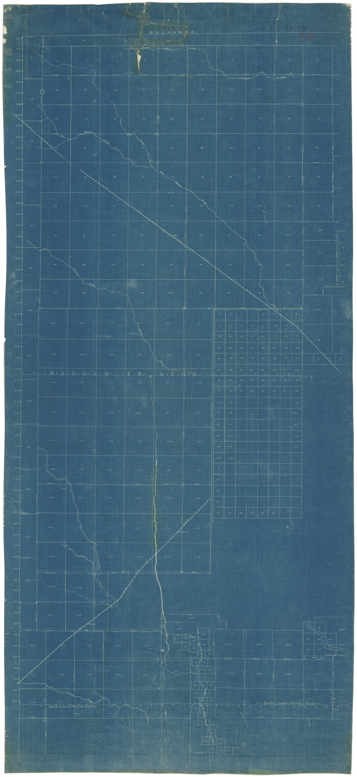
Hartley County Rolled Sketch 9

Print $20.00
- Digital $50.00
Hartley County Rolled Sketch 9
2001
Size: 22.7 x 34.7 inches
76407
Hartley County Sketch File 18

Print $4.00
- Digital $50.00
Hartley County Sketch File 18
2001
Size: 11.1 x 8.7 inches
76330
Hartley County Working Sketch 8

Print $20.00
- Digital $50.00
Hartley County Working Sketch 8
1982
Size: 34.0 x 32.6 inches
66058
Moore County Working Sketch 17

Print $20.00
- Digital $50.00
Moore County Working Sketch 17
1982
Size: 37.0 x 36.2 inches
71199
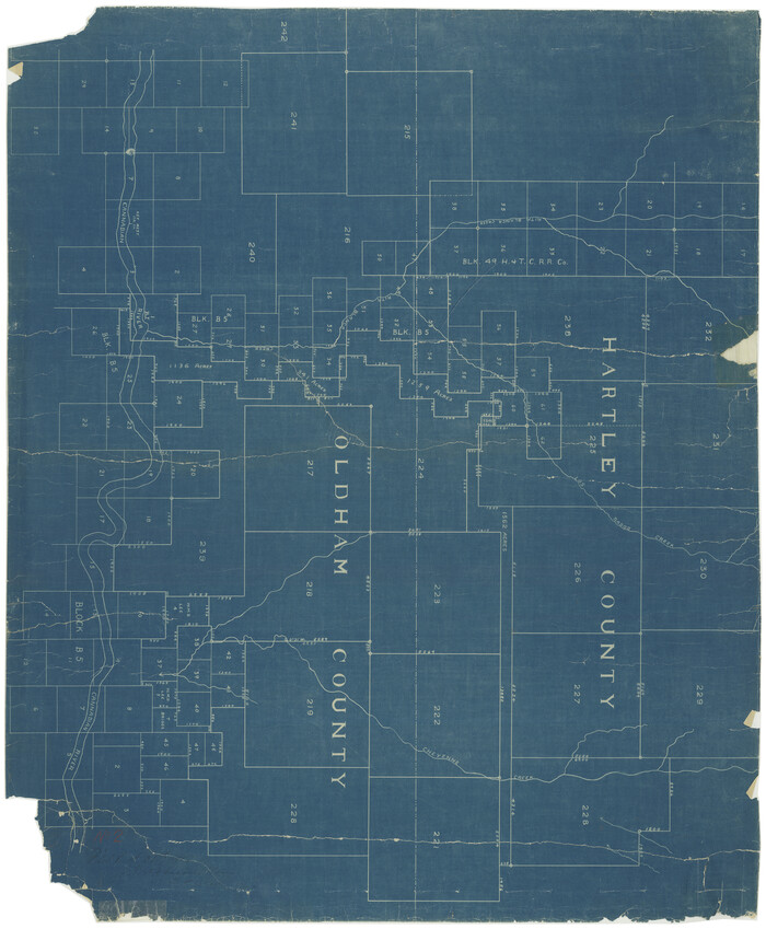
Oldham County Working Sketch 7

Print $20.00
- Digital $50.00
Oldham County Working Sketch 7
1982
Size: 33.4 x 35.6 inches
71329
Potter County Working Sketch 14

Print $20.00
- Digital $50.00
Potter County Working Sketch 14
1982
Size: 33.7 x 32.6 inches
71674
Moore County Rolled Sketch 14A

Print $20.00
- Digital $50.00
Moore County Rolled Sketch 14A
1981
Size: 21.8 x 27.5 inches
6831
Hartley County Rolled Sketch 8

Print $20.00
- Digital $50.00
Hartley County Rolled Sketch 8
1974
Size: 20.0 x 23.7 inches
6162
Hartley County Working Sketch 7

Print $20.00
- Digital $50.00
Hartley County Working Sketch 7
1971
Size: 20.1 x 25.1 inches
66057
Hartley County Working Sketch 6

Print $20.00
- Digital $50.00
Hartley County Working Sketch 6
1971
Size: 37.0 x 37.0 inches
66056
General Highway Map, Hartley County, Texas

Print $20.00
General Highway Map, Hartley County, Texas
1961
Size: 24.8 x 18.2 inches
79510
General Highway Map, Hartley County, Texas

Print $20.00
General Highway Map, Hartley County, Texas
1961
Size: 24.4 x 18.0 inches
79511
Hartley County Working Sketch 5

Print $20.00
- Digital $50.00
Hartley County Working Sketch 5
1957
Size: 46.3 x 28.9 inches
66055
Hartley County Rolled Sketch 7

Print $20.00
- Digital $50.00
Hartley County Rolled Sketch 7
1952
Size: 24.2 x 27.4 inches
6161
General Highway Map, Dallam County, Hartley County, Texas

Print $20.00
General Highway Map, Dallam County, Hartley County, Texas
1940
Size: 18.3 x 25.1 inches
79065
Hartley County Working Sketch 4

Print $20.00
- Digital $50.00
Hartley County Working Sketch 4
1934
Size: 23.9 x 30.6 inches
66054
Oldham County Rolled Sketch 8

Print $20.00
- Digital $50.00
Oldham County Rolled Sketch 8
1931
Size: 39.2 x 29.0 inches
7174
Hartley County Working Sketch 3

Print $20.00
- Digital $50.00
Hartley County Working Sketch 3
1928
Size: 24.6 x 24.0 inches
66053
Hartley County Sketch File 14

Print $6.00
- Digital $50.00
Hartley County Sketch File 14
1926
Size: 11.2 x 8.7 inches
26110
Dallam County Sketch File 10

Print $20.00
- Digital $50.00
Dallam County Sketch File 10
1925
Size: 7.2 x 8.6 inches
20367
Hartley County Working Sketch Graphic Index

Print $40.00
- Digital $50.00
Hartley County Working Sketch Graphic Index
1925
Size: 41.0 x 50.0 inches
76571
Hartley County Sketch File 13

Print $80.00
- Digital $50.00
Hartley County Sketch File 13
1924
Size: 18.3 x 12.5 inches
26106
Hartley County Working Sketch 2

Print $20.00
- Digital $50.00
Hartley County Working Sketch 2
1920
Size: 41.8 x 30.7 inches
66052
Chicago, Rock Island, Texas & Mexico

Print $40.00
- Digital $50.00
Chicago, Rock Island, Texas & Mexico
1920
Size: 24.8 x 122.0 inches
64421
[Map showing resurvey of Capitol Leagues in Hartley & Dallam Counties, Texas]
Print $40.00
- Digital $50.00
[Map showing resurvey of Capitol Leagues in Hartley & Dallam Counties, Texas]
1918
Size: 66.9 x 31.0 inches
1753
[Map showing resurvey of Capitol Leagues in Hartley & Oldham Counties, Texas]
Print $20.00
- Digital $50.00
[Map showing resurvey of Capitol Leagues in Hartley & Oldham Counties, Texas]
1918
Size: 30.8 x 37.4 inches
1754
Hartley County Rolled Sketch 9
Print $20.00
- Digital $50.00
Hartley County Rolled Sketch 9
2001
-
Size
22.7 x 34.7 inches
-
Map/Doc
76407
-
Creation Date
2001
Hartley County Sketch File 18
Print $4.00
- Digital $50.00
Hartley County Sketch File 18
2001
-
Size
11.1 x 8.7 inches
-
Map/Doc
76330
-
Creation Date
2001
Hartley County Working Sketch 8
Print $20.00
- Digital $50.00
Hartley County Working Sketch 8
1982
-
Size
34.0 x 32.6 inches
-
Map/Doc
66058
-
Creation Date
1982
Moore County Working Sketch 17
Print $20.00
- Digital $50.00
Moore County Working Sketch 17
1982
-
Size
37.0 x 36.2 inches
-
Map/Doc
71199
-
Creation Date
1982
Oldham County Working Sketch 7
Print $20.00
- Digital $50.00
Oldham County Working Sketch 7
1982
-
Size
33.4 x 35.6 inches
-
Map/Doc
71329
-
Creation Date
1982
Potter County Working Sketch 14
Print $20.00
- Digital $50.00
Potter County Working Sketch 14
1982
-
Size
33.7 x 32.6 inches
-
Map/Doc
71674
-
Creation Date
1982
Moore County Rolled Sketch 14A
Print $20.00
- Digital $50.00
Moore County Rolled Sketch 14A
1981
-
Size
21.8 x 27.5 inches
-
Map/Doc
6831
-
Creation Date
1981
Hartley County Rolled Sketch 8
Print $20.00
- Digital $50.00
Hartley County Rolled Sketch 8
1974
-
Size
20.0 x 23.7 inches
-
Map/Doc
6162
-
Creation Date
1974
Hartley County Working Sketch 7
Print $20.00
- Digital $50.00
Hartley County Working Sketch 7
1971
-
Size
20.1 x 25.1 inches
-
Map/Doc
66057
-
Creation Date
1971
Hartley County Working Sketch 6
Print $20.00
- Digital $50.00
Hartley County Working Sketch 6
1971
-
Size
37.0 x 37.0 inches
-
Map/Doc
66056
-
Creation Date
1971
General Highway Map, Hartley County, Texas
Print $20.00
General Highway Map, Hartley County, Texas
1961
-
Size
24.8 x 18.2 inches
-
Map/Doc
79510
-
Creation Date
1961
General Highway Map, Hartley County, Texas
Print $20.00
General Highway Map, Hartley County, Texas
1961
-
Size
24.4 x 18.0 inches
-
Map/Doc
79511
-
Creation Date
1961
Hartley County Working Sketch 5
Print $20.00
- Digital $50.00
Hartley County Working Sketch 5
1957
-
Size
46.3 x 28.9 inches
-
Map/Doc
66055
-
Creation Date
1957
Hartley County Rolled Sketch 7
Print $20.00
- Digital $50.00
Hartley County Rolled Sketch 7
1952
-
Size
24.2 x 27.4 inches
-
Map/Doc
6161
-
Creation Date
1952
General Highway Map, Dallam County, Hartley County, Texas
Print $20.00
General Highway Map, Dallam County, Hartley County, Texas
1940
-
Size
18.3 x 25.1 inches
-
Map/Doc
79065
-
Creation Date
1940
Hartley County Working Sketch 4
Print $20.00
- Digital $50.00
Hartley County Working Sketch 4
1934
-
Size
23.9 x 30.6 inches
-
Map/Doc
66054
-
Creation Date
1934
Oldham County Rolled Sketch 8
Print $20.00
- Digital $50.00
Oldham County Rolled Sketch 8
1931
-
Size
39.2 x 29.0 inches
-
Map/Doc
7174
-
Creation Date
1931
Hartley County Working Sketch 3
Print $20.00
- Digital $50.00
Hartley County Working Sketch 3
1928
-
Size
24.6 x 24.0 inches
-
Map/Doc
66053
-
Creation Date
1928
Hartley County Sketch File 14
Print $6.00
- Digital $50.00
Hartley County Sketch File 14
1926
-
Size
11.2 x 8.7 inches
-
Map/Doc
26110
-
Creation Date
1926
Dallam County Sketch File 10
Print $20.00
- Digital $50.00
Dallam County Sketch File 10
1925
-
Size
7.2 x 8.6 inches
-
Map/Doc
20367
-
Creation Date
1925
Hartley County

Print $40.00
- Digital $50.00
Hartley County
1925
-
Size
41.9 x 52.1 inches
-
Map/Doc
1851
-
Creation Date
1925
Hartley County

Print $40.00
- Digital $50.00
Hartley County
1925
-
Size
41.1 x 48.5 inches
-
Map/Doc
73174
-
Creation Date
1925
Hartley County Working Sketch Graphic Index
Print $40.00
- Digital $50.00
Hartley County Working Sketch Graphic Index
1925
-
Size
41.0 x 50.0 inches
-
Map/Doc
76571
-
Creation Date
1925
Hartley County

Print $20.00
- Digital $50.00
Hartley County
1925
-
Size
34.2 x 41.5 inches
-
Map/Doc
77306
-
Creation Date
1925
Hartley County Sketch File 13
Print $80.00
- Digital $50.00
Hartley County Sketch File 13
1924
-
Size
18.3 x 12.5 inches
-
Map/Doc
26106
-
Creation Date
1924
Hartley County

Print $40.00
- Digital $50.00
Hartley County
1923
-
Size
42.1 x 49.5 inches
-
Map/Doc
95524
-
Creation Date
1923
Hartley County Working Sketch 2
Print $20.00
- Digital $50.00
Hartley County Working Sketch 2
1920
-
Size
41.8 x 30.7 inches
-
Map/Doc
66052
-
Creation Date
1920
Chicago, Rock Island, Texas & Mexico
Print $40.00
- Digital $50.00
Chicago, Rock Island, Texas & Mexico
1920
-
Size
24.8 x 122.0 inches
-
Map/Doc
64421
-
Creation Date
1920
[Map showing resurvey of Capitol Leagues in Hartley & Dallam Counties, Texas]
Print $40.00
- Digital $50.00
[Map showing resurvey of Capitol Leagues in Hartley & Dallam Counties, Texas]
1918
-
Size
66.9 x 31.0 inches
-
Map/Doc
1753
-
Creation Date
1918
[Map showing resurvey of Capitol Leagues in Hartley & Oldham Counties, Texas]
Print $20.00
- Digital $50.00
[Map showing resurvey of Capitol Leagues in Hartley & Oldham Counties, Texas]
1918
-
Size
30.8 x 37.4 inches
-
Map/Doc
1754
-
Creation Date
1918