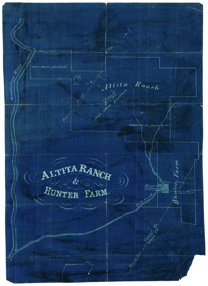
Altita Ranch & Hunter Farm

Print $20.00
- Digital $50.00
Altita Ranch & Hunter Farm
Size: 20.2 x 15.6 inches
492
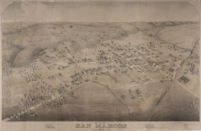
Bird's Eye View of San Marcos, Hays County, Texas

Print $20.00
Bird's Eye View of San Marcos, Hays County, Texas
1881
Size: 18.5 x 28.3 inches
89205
Blanco County Rolled Sketch 16


Print $20.00
- Digital $50.00
Blanco County Rolled Sketch 16
Size: 18.8 x 19.4 inches
5152
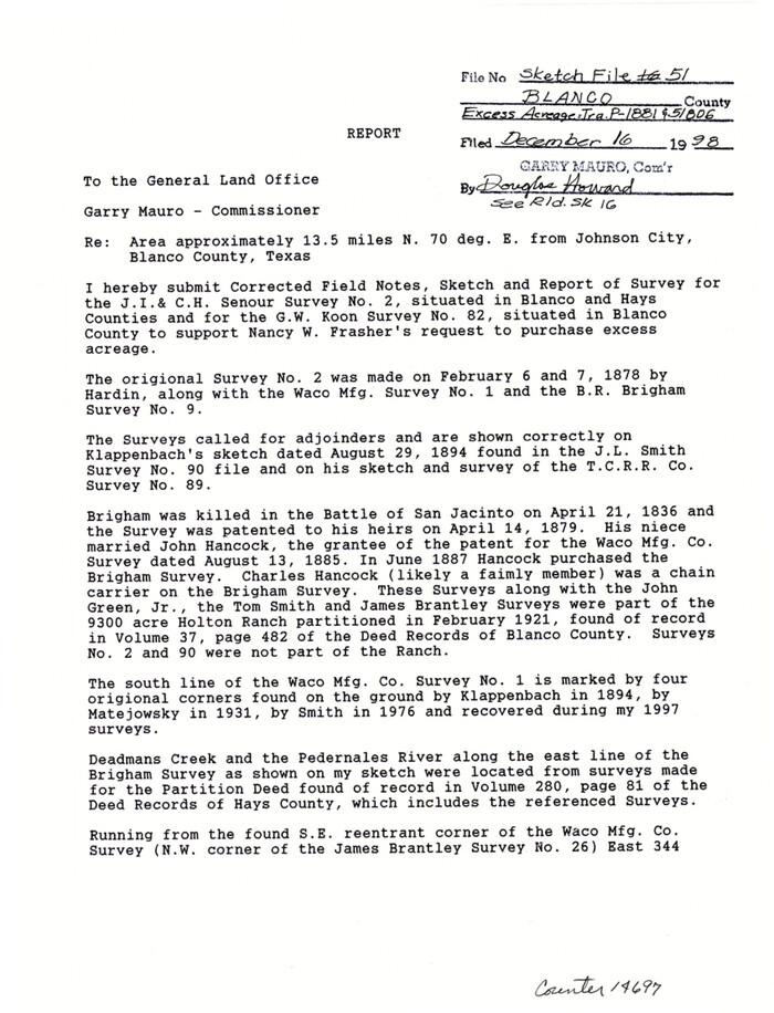
Blanco County Sketch File 51

Print $8.00
- Digital $50.00
Blanco County Sketch File 51
1998
Size: 11.1 x 8.5 inches
14697
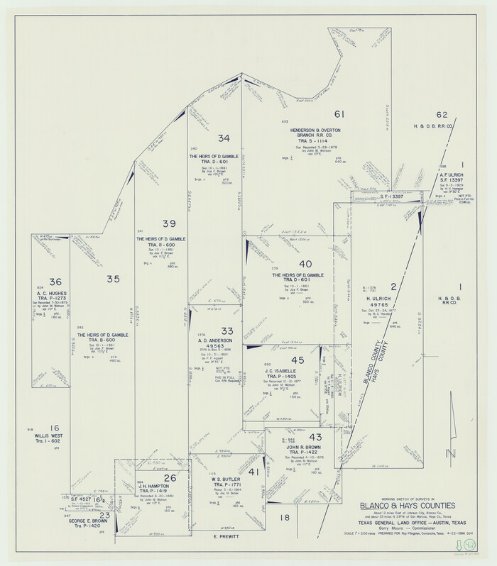
Blanco County Working Sketch 42

Print $20.00
- Digital $50.00
Blanco County Working Sketch 42
1986
Size: 35.1 x 30.7 inches
67402
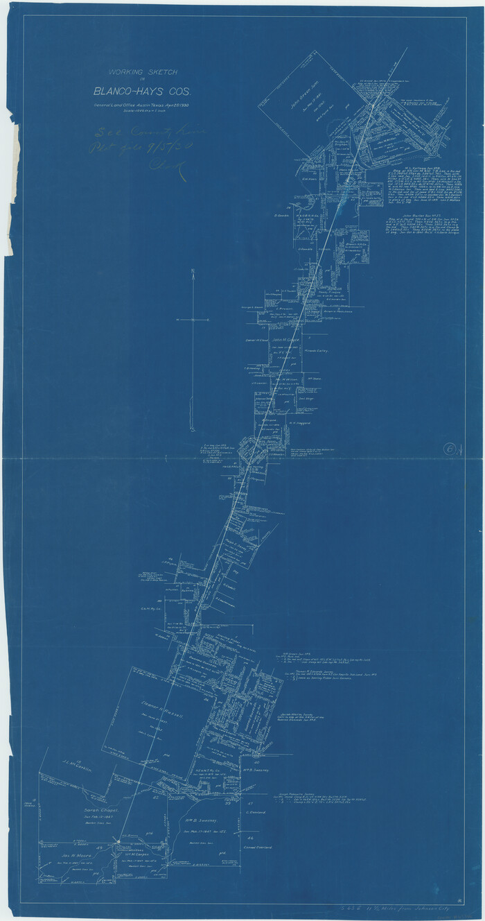
Blanco County Working Sketch 6b

Print $40.00
- Digital $50.00
Blanco County Working Sketch 6b
1930
Size: 52.6 x 27.8 inches
67366
Comal County Sketch File 20


Print $6.00
- Digital $50.00
Comal County Sketch File 20
1857
Size: 12.4 x 8.1 inches
19039
Comal County Sketch File 21


Print $21.00
- Digital $50.00
Comal County Sketch File 21
1950
Size: 9.1 x 11.4 inches
19041
Comal County Sketch File 9 1/2


Print $6.00
- Digital $50.00
Comal County Sketch File 9 1/2
Size: 12.9 x 8.4 inches
19018
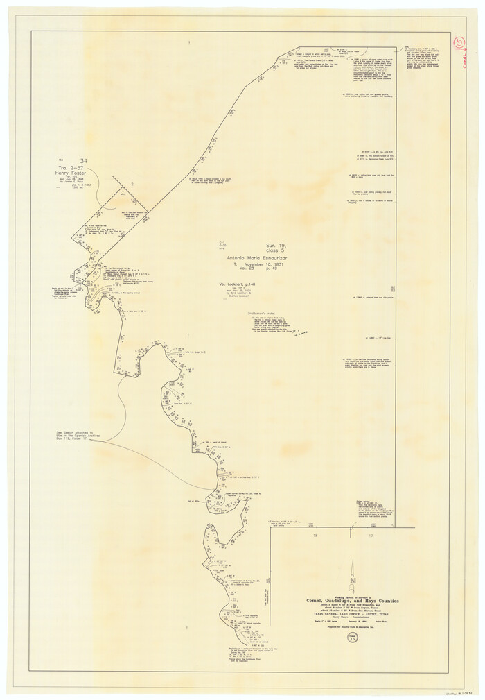
Comal County Working Sketch 15

Print $20.00
- Digital $50.00
Comal County Working Sketch 15
1994
Size: 44.6 x 31.0 inches
68181
Connected Map of DeWitt's Colony compiled from the surveys of Byrd Lockhart


Print $40.00
- Digital $50.00
Connected Map of DeWitt's Colony compiled from the surveys of Byrd Lockhart
1831
Size: 39.2 x 54.0 inches
1942
Description of Best Route from Austin to San Antonio, Texas


Print $20.00
Description of Best Route from Austin to San Antonio, Texas
1865
Size: 12.9 x 13.1 inches
79296
English Field Notes of the Spanish Archives - Book Lockhart


English Field Notes of the Spanish Archives - Book Lockhart
1832
96539
English Field Notes of the Spanish Archives - Book S


English Field Notes of the Spanish Archives - Book S
1835
96543
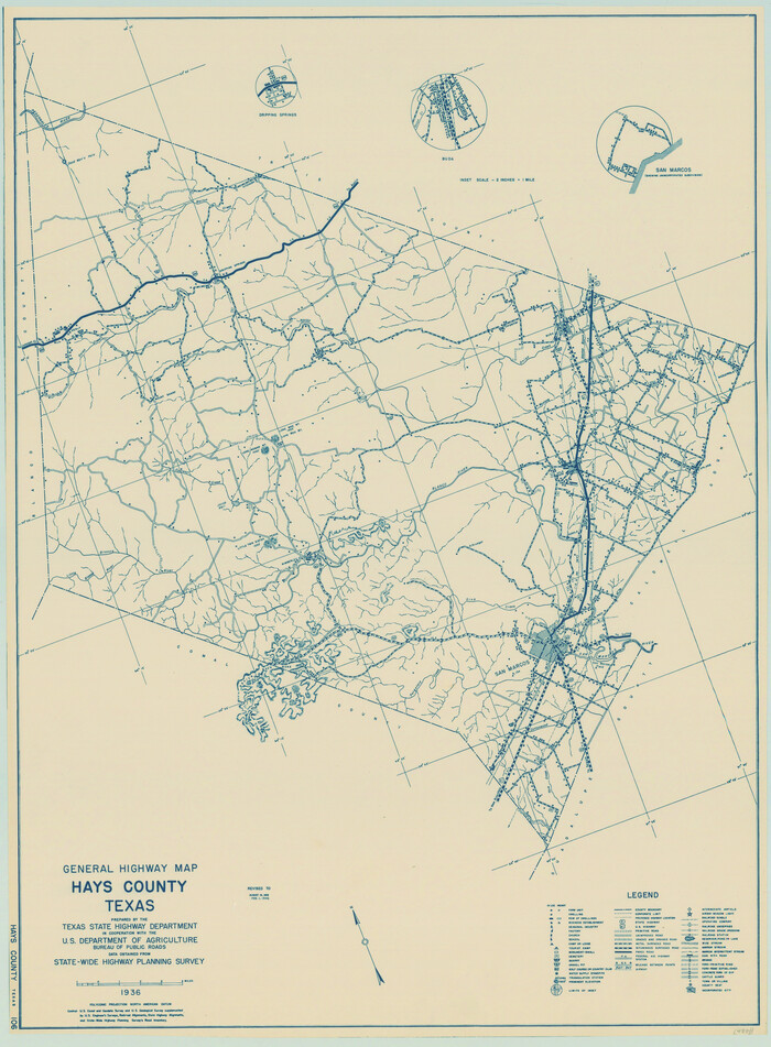
General Highway Map, Hays County, Texas

Print $20.00
General Highway Map, Hays County, Texas
1940
Size: 24.8 x 18.3 inches
79123
General Highway Map, Hays County, Texas


Print $20.00
General Highway Map, Hays County, Texas
1961
Size: 18.1 x 24.7 inches
79513
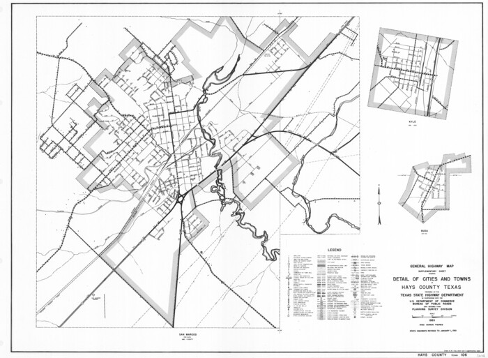
General Highway Map. Detail of Cities and Towns in Hays County, Texas [San Marcos and vicinity]

Print $20.00
General Highway Map. Detail of Cities and Towns in Hays County, Texas [San Marcos and vicinity]
1961
Size: 17.9 x 24.5 inches
79514
Guadalupe County Sketch File 11


Print $4.00
- Digital $50.00
Guadalupe County Sketch File 11
Size: 8.0 x 12.8 inches
24681
Guadalupe County Sketch File 12


Print $8.00
- Digital $50.00
Guadalupe County Sketch File 12
1869
Size: 12.9 x 8.2 inches
24683
Guadalupe County Sketch File 16


Print $22.00
- Digital $50.00
Guadalupe County Sketch File 16
Size: 15.7 x 12.4 inches
24694
Guadalupe County Sketch File 2
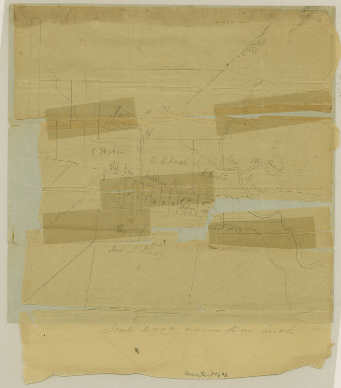

Print $4.00
- Digital $50.00
Guadalupe County Sketch File 2
1848
Size: 9.4 x 8.3 inches
24648
Guadalupe County Sketch File 22


Print $20.00
- Digital $50.00
Guadalupe County Sketch File 22
1957
Size: 16.2 x 16.5 inches
11591
Guadalupe County Sketch File 5a
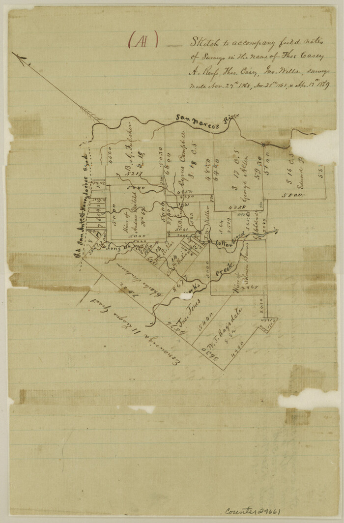

Print $12.00
- Digital $50.00
Guadalupe County Sketch File 5a
1869
Size: 12.6 x 8.0 inches
42205
Guadalupe County Working Sketch 5


Print $3.00
- Digital $50.00
Guadalupe County Working Sketch 5
1940
Size: 15.2 x 10.9 inches
63314
Guadalupe River, Watershed [of the Guadalupe River]
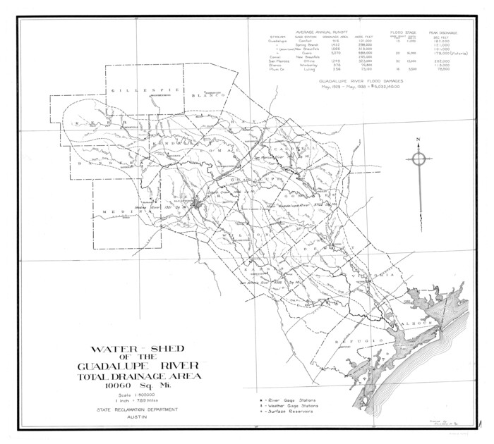

Print $6.00
- Digital $50.00
Guadalupe River, Watershed [of the Guadalupe River]
1925
Size: 30.1 x 33.4 inches
65059
Guadalupe-Blanco River Authority Master Plan


Print $20.00
Guadalupe-Blanco River Authority Master Plan
Size: 23.1 x 29.8 inches
97506
Altita Ranch & Hunter Farm


Print $20.00
- Digital $50.00
Altita Ranch & Hunter Farm
-
Size
20.2 x 15.6 inches
-
Map/Doc
492
Bird's Eye View of San Marcos, Hays County, Texas


Print $20.00
Bird's Eye View of San Marcos, Hays County, Texas
1881
-
Size
18.5 x 28.3 inches
-
Map/Doc
89205
-
Creation Date
1881
Blanco County Rolled Sketch 16


Print $20.00
- Digital $50.00
Blanco County Rolled Sketch 16
-
Size
18.8 x 19.4 inches
-
Map/Doc
5152
Blanco County Sketch File 51


Print $8.00
- Digital $50.00
Blanco County Sketch File 51
1998
-
Size
11.1 x 8.5 inches
-
Map/Doc
14697
-
Creation Date
1998
Blanco County Working Sketch 42


Print $20.00
- Digital $50.00
Blanco County Working Sketch 42
1986
-
Size
35.1 x 30.7 inches
-
Map/Doc
67402
-
Creation Date
1986
Blanco County Working Sketch 6b


Print $40.00
- Digital $50.00
Blanco County Working Sketch 6b
1930
-
Size
52.6 x 27.8 inches
-
Map/Doc
67366
-
Creation Date
1930
Comal County Sketch File 20


Print $6.00
- Digital $50.00
Comal County Sketch File 20
1857
-
Size
12.4 x 8.1 inches
-
Map/Doc
19039
-
Creation Date
1857
Comal County Sketch File 21


Print $21.00
- Digital $50.00
Comal County Sketch File 21
1950
-
Size
9.1 x 11.4 inches
-
Map/Doc
19041
-
Creation Date
1950
Comal County Sketch File 9 1/2


Print $6.00
- Digital $50.00
Comal County Sketch File 9 1/2
-
Size
12.9 x 8.4 inches
-
Map/Doc
19018
Comal County Working Sketch 15


Print $20.00
- Digital $50.00
Comal County Working Sketch 15
1994
-
Size
44.6 x 31.0 inches
-
Map/Doc
68181
-
Creation Date
1994
Connected Map of DeWitt's Colony compiled from the surveys of Byrd Lockhart


Print $40.00
- Digital $50.00
Connected Map of DeWitt's Colony compiled from the surveys of Byrd Lockhart
1831
-
Size
39.2 x 54.0 inches
-
Map/Doc
1942
-
Creation Date
1831
Description of Best Route from Austin to San Antonio, Texas


Print $20.00
Description of Best Route from Austin to San Antonio, Texas
1865
-
Size
12.9 x 13.1 inches
-
Map/Doc
79296
-
Creation Date
1865
English Field Notes of the Spanish Archives - Book Lockhart


English Field Notes of the Spanish Archives - Book Lockhart
1832
-
Map/Doc
96539
-
Creation Date
1832
English Field Notes of the Spanish Archives - Book S


English Field Notes of the Spanish Archives - Book S
1835
-
Map/Doc
96543
-
Creation Date
1835
General Highway Map, Hays County, Texas


Print $20.00
General Highway Map, Hays County, Texas
1940
-
Size
24.8 x 18.3 inches
-
Map/Doc
79123
-
Creation Date
1940
General Highway Map, Hays County, Texas


Print $20.00
General Highway Map, Hays County, Texas
1961
-
Size
18.1 x 24.7 inches
-
Map/Doc
79513
-
Creation Date
1961
General Highway Map. Detail of Cities and Towns in Hays County, Texas [San Marcos and vicinity]
![79514, General Highway Map. Detail of Cities and Towns in Hays County, Texas [San Marcos and vicinity], Texas State Library and Archives](https://historictexasmaps.com/wmedia_w700/maps/79514.tif.jpg)
![79514, General Highway Map. Detail of Cities and Towns in Hays County, Texas [San Marcos and vicinity], Texas State Library and Archives](https://historictexasmaps.com/wmedia_w700/maps/79514.tif.jpg)
Print $20.00
General Highway Map. Detail of Cities and Towns in Hays County, Texas [San Marcos and vicinity]
1961
-
Size
17.9 x 24.5 inches
-
Map/Doc
79514
-
Creation Date
1961
Guadalupe County Sketch File 11


Print $4.00
- Digital $50.00
Guadalupe County Sketch File 11
-
Size
8.0 x 12.8 inches
-
Map/Doc
24681
Guadalupe County Sketch File 12


Print $8.00
- Digital $50.00
Guadalupe County Sketch File 12
1869
-
Size
12.9 x 8.2 inches
-
Map/Doc
24683
-
Creation Date
1869
Guadalupe County Sketch File 16


Print $22.00
- Digital $50.00
Guadalupe County Sketch File 16
-
Size
15.7 x 12.4 inches
-
Map/Doc
24694
Guadalupe County Sketch File 2


Print $4.00
- Digital $50.00
Guadalupe County Sketch File 2
1848
-
Size
9.4 x 8.3 inches
-
Map/Doc
24648
-
Creation Date
1848
Guadalupe County Sketch File 22


Print $20.00
- Digital $50.00
Guadalupe County Sketch File 22
1957
-
Size
16.2 x 16.5 inches
-
Map/Doc
11591
-
Creation Date
1957
Guadalupe County Sketch File 5a


Print $12.00
- Digital $50.00
Guadalupe County Sketch File 5a
1869
-
Size
12.6 x 8.0 inches
-
Map/Doc
42205
-
Creation Date
1869
Guadalupe County Working Sketch 5


Print $3.00
- Digital $50.00
Guadalupe County Working Sketch 5
1940
-
Size
15.2 x 10.9 inches
-
Map/Doc
63314
-
Creation Date
1940
Guadalupe River, Watershed [of the Guadalupe River]
![65059, Guadalupe River, Watershed [of the Guadalupe River], General Map Collection](https://historictexasmaps.com/wmedia_w700/maps/65059-GC.tif.jpg)
![65059, Guadalupe River, Watershed [of the Guadalupe River], General Map Collection](https://historictexasmaps.com/wmedia_w700/maps/65059-GC.tif.jpg)
Print $6.00
- Digital $50.00
Guadalupe River, Watershed [of the Guadalupe River]
1925
-
Size
30.1 x 33.4 inches
-
Map/Doc
65059
-
Creation Date
1925
Guadalupe-Blanco River Authority Master Plan


Print $20.00
Guadalupe-Blanco River Authority Master Plan
-
Size
23.1 x 29.8 inches
-
Map/Doc
97506
Hays Co., 1855
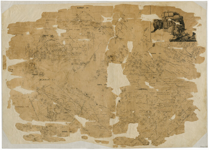

Print $20.00
- Digital $50.00
Hays Co., 1855
1853
-
Size
20.5 x 28.6 inches
-
Map/Doc
3650
-
Creation Date
1853
Hays County


Print $20.00
- Digital $50.00
Hays County
1946
-
Size
44.3 x 41.3 inches
-
Map/Doc
1853
-
Creation Date
1946
Hays County
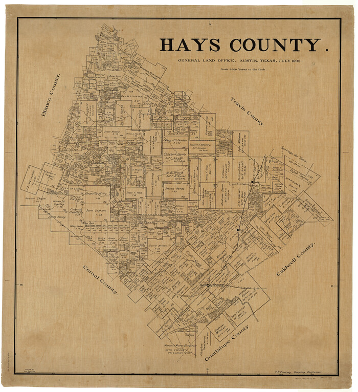

Print $20.00
- Digital $50.00
Hays County
1902
-
Size
47.2 x 43.1 inches
-
Map/Doc
4975
-
Creation Date
1902
Hays County


Print $20.00
- Digital $50.00
Hays County
1946
-
Size
44.7 x 41.1 inches
-
Map/Doc
73176
-
Creation Date
1946