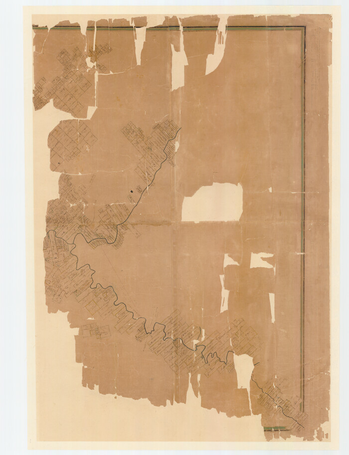
[Travis District]
1840
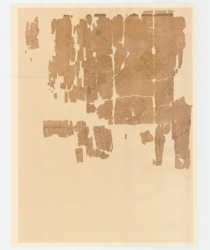
[Travis District]
1840
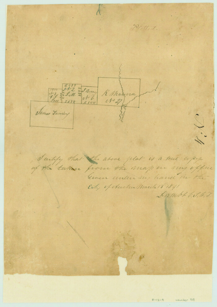
[Surveys near Onion Creek]
1841
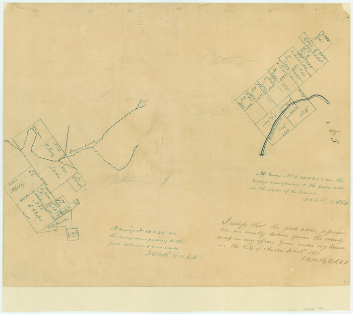
[Surveys in the Travis District along Onion Creek and the Pedernales River]
1841
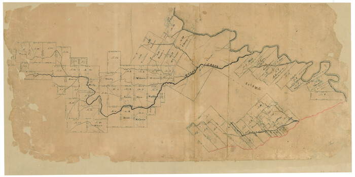
[Surveys in Milam's Colony along the Colorado River, Onion Creek, Cedar Creek, and north of the San Antonio Road]
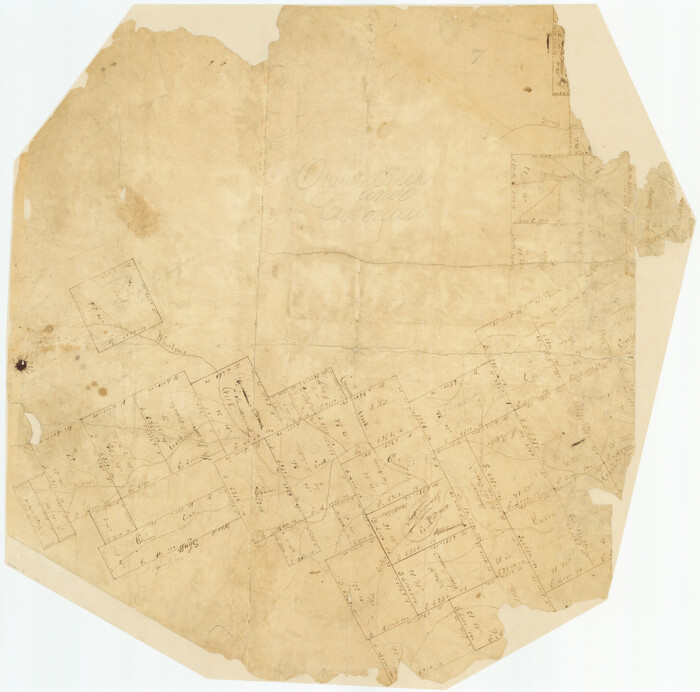
[Surveys in Milam's Colony along the Colorado River and Onion Creek]
1835
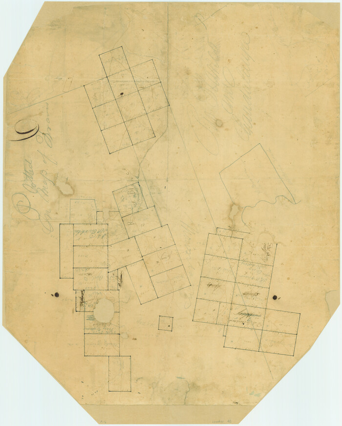
[Surveys along the Guadalupe River and Blanco Creek]
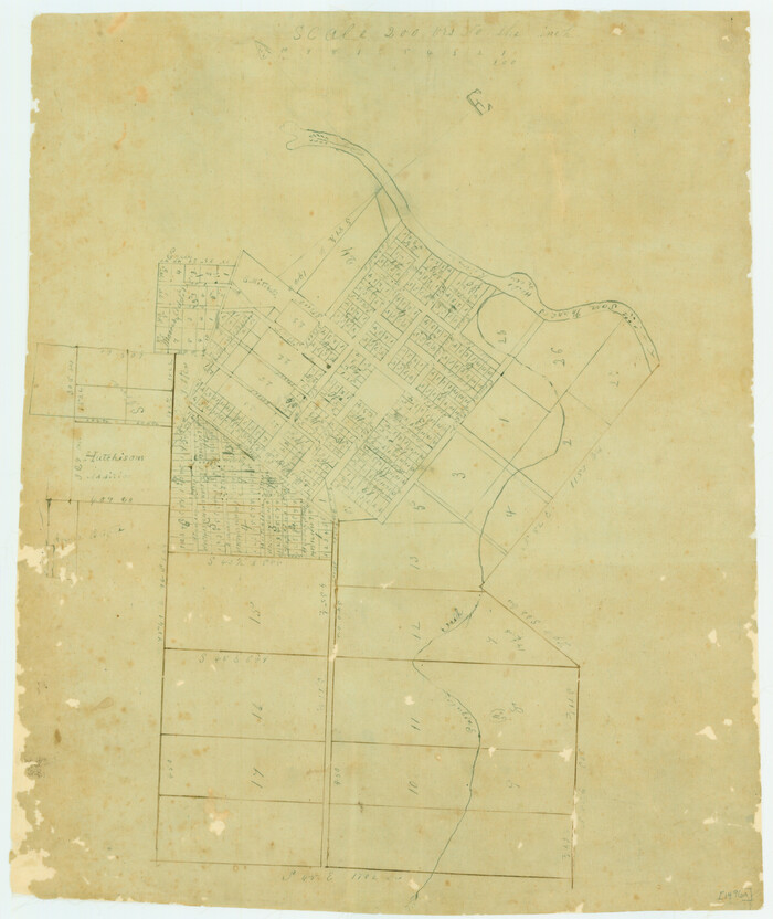
[Plat of San Marcos, Texas]
1890
![65328, [Plat of Boundary Line between Comal and Hays Counties], General Map Collection](https://historictexasmaps.com/wmedia_w700/pdf_converted_jpg/qi_pdf_thumbnail_19768.jpg)
[Plat of Boundary Line between Comal and Hays Counties]
1947
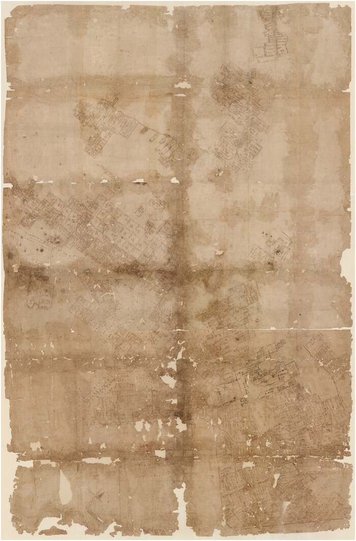
[Bastrop District]
1838
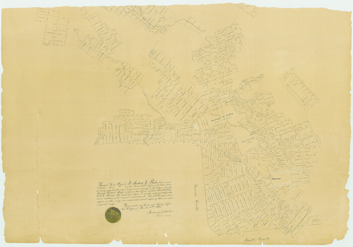
[Bastrop District]
1895
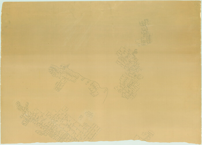
[Bastrop District]
1895
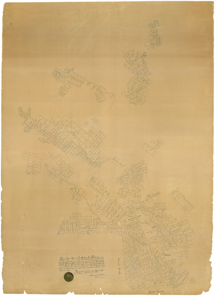
[Bastrop District]
1895
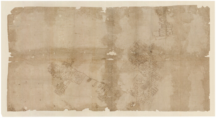
[Bastrop District]
1838
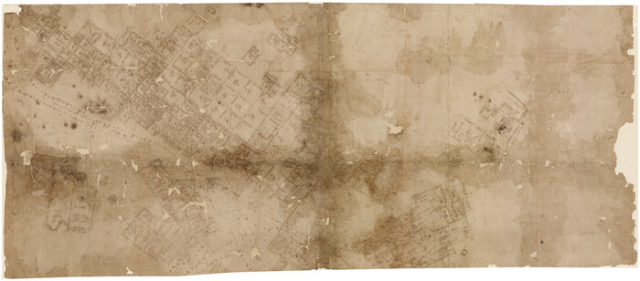
[Bastrop District]
1838
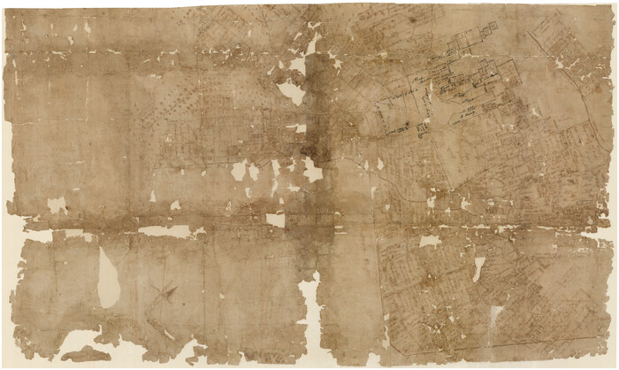
[Bastrop District]
1838

Water-Shed of the Colorado River
1925
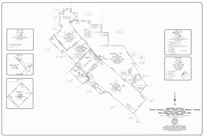
Travis County Working Sketch 67
2017
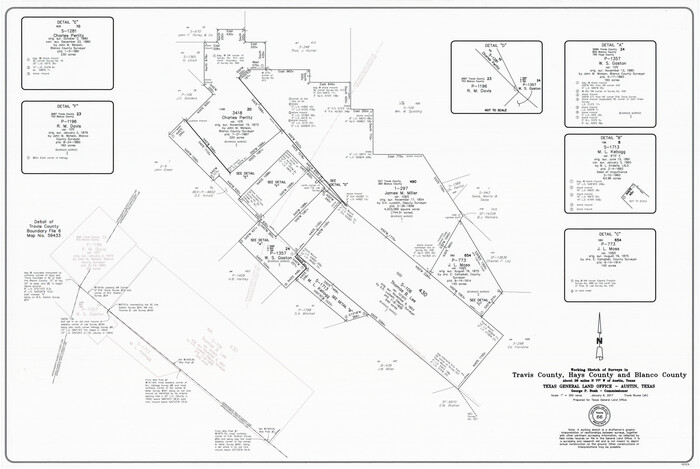
Travis County Working Sketch 66
2017
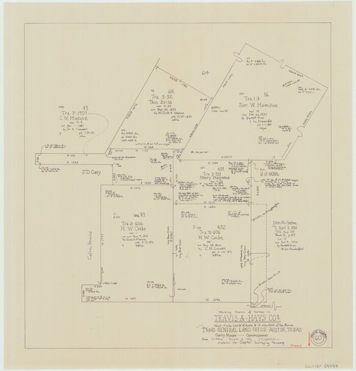
Travis County Working Sketch 60
1992

Travis County Working Sketch 53
1964
Travis County Sketch File 4A
1855

Travis County Sketch File 36
1912
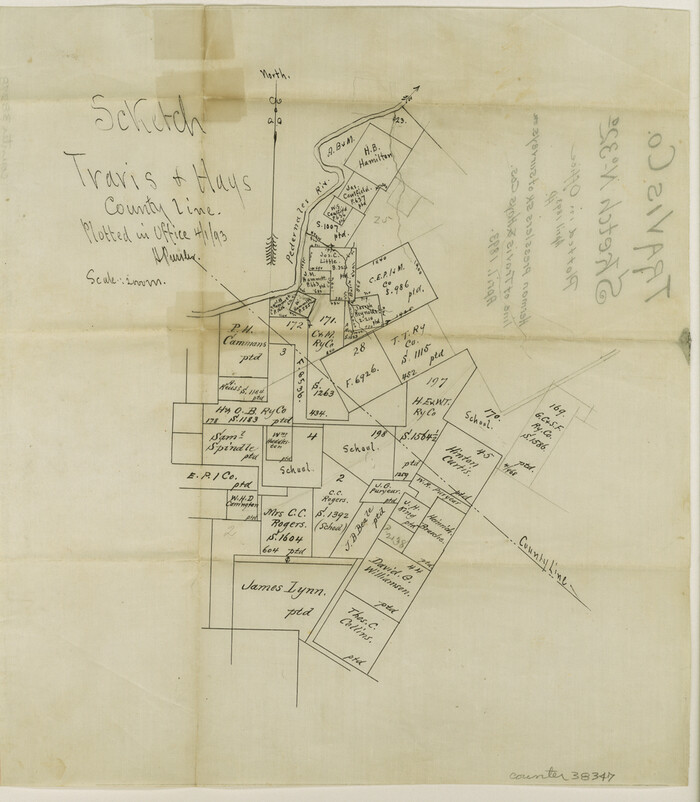
Travis County Sketch File 32A
1893
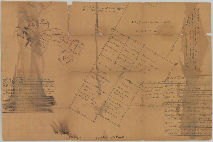
Travis County Sketch File 32

Travis County Rolled Sketch 47
1931

Travis County Rolled Sketch 11
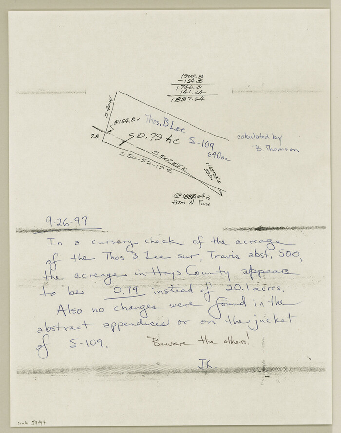
Travis County Boundary File 6a

Travis County Boundary File 6
![88739, [Travis District], General Map Collection](https://historictexasmaps.com/wmedia_w700/maps/88739.tif.jpg)
[Travis District]
1840
-
Size
54.7 x 42.0 inches
-
Map/Doc
88739
-
Creation Date
1840
![88740, [Travis District], General Map Collection](https://historictexasmaps.com/wmedia_w700/maps/88740.tif.jpg)
[Travis District]
1840
-
Size
54.7 x 46.0 inches
-
Map/Doc
88740
-
Creation Date
1840
![83002, [Town plat of San Marcos], Non-GLO Digital Images](https://historictexasmaps.com/wmedia_w700/maps/83002.tif.jpg)
[Town plat of San Marcos]
-
Size
15.8 x 10.1 inches
-
Map/Doc
83002
![108, [Surveys near Onion Creek], General Map Collection](https://historictexasmaps.com/wmedia_w700/maps/108-1.tif.jpg)
[Surveys near Onion Creek]
1841
-
Size
11.0 x 7.8 inches
-
Map/Doc
108
-
Creation Date
1841
![40, [Surveys in the Travis District along Onion Creek and the Pedernales River], General Map Collection](https://historictexasmaps.com/wmedia_w700/maps/40.tif.jpg)
[Surveys in the Travis District along Onion Creek and the Pedernales River]
1841
-
Size
14.0 x 15.8 inches
-
Map/Doc
40
-
Creation Date
1841
![88, [Surveys in Milam's Colony along the Colorado River, Onion Creek, Cedar Creek, and north of the San Antonio Road], General Map Collection](https://historictexasmaps.com/wmedia_w700/maps/88-1.tif.jpg)
[Surveys in Milam's Colony along the Colorado River, Onion Creek, Cedar Creek, and north of the San Antonio Road]
-
Size
13.4 x 26.8 inches
-
Map/Doc
88
![91, [Surveys in Milam's Colony along the Colorado River and Onion Creek], General Map Collection](https://historictexasmaps.com/wmedia_w700/maps/91.tif.jpg)
[Surveys in Milam's Colony along the Colorado River and Onion Creek]
1835
-
Size
24.7 x 25.0 inches
-
Map/Doc
91
-
Creation Date
1835
![45, [Surveys along the Guadalupe River and Blanco Creek], General Map Collection](https://historictexasmaps.com/wmedia_w700/maps/45.tif.jpg)
[Surveys along the Guadalupe River and Blanco Creek]
-
Size
19.5 x 15.7 inches
-
Map/Doc
45
![79312, [Plat of San Marcos, Texas], Texas State Library and Archives](https://historictexasmaps.com/wmedia_w700/maps/79312.tif.jpg)
[Plat of San Marcos, Texas]
1890
-
Size
18.9 x 15.9 inches
-
Map/Doc
79312
-
Creation Date
1890
![65328, [Plat of Boundary Line between Comal and Hays Counties], General Map Collection](https://historictexasmaps.com/wmedia_w700/pdf_converted_jpg/qi_pdf_thumbnail_19768.jpg)
[Plat of Boundary Line between Comal and Hays Counties]
1947
-
Size
11.4 x 17.7 inches
-
Map/Doc
65328
-
Creation Date
1947
![16941, [Bastrop District], General Map Collection](https://historictexasmaps.com/wmedia_w700/maps/16941-1.tif.jpg)
[Bastrop District]
1838
-
Size
67.3 x 44.2 inches
-
Map/Doc
16941
-
Creation Date
1838
![3131, [Bastrop District], General Map Collection](https://historictexasmaps.com/wmedia_w700/maps/3131.tif.jpg)
[Bastrop District]
1895
-
Size
36.5 x 52.0 inches
-
Map/Doc
3131
-
Creation Date
1895
![83005, [Bastrop District], General Map Collection](https://historictexasmaps.com/wmedia_w700/maps/83005.tif.jpg)
[Bastrop District]
1895
-
Size
37.4 x 51.9 inches
-
Map/Doc
83005
-
Creation Date
1895
![83006, [Bastrop District], General Map Collection](https://historictexasmaps.com/wmedia_w700/maps/83006-1.tif.jpg)
[Bastrop District]
1895
-
Size
71.8 x 52.3 inches
-
Map/Doc
83006
-
Creation Date
1895
![83517, [Bastrop District], General Map Collection](https://historictexasmaps.com/wmedia_w700/maps/83517-1.tif.jpg)
[Bastrop District]
1838
-
Size
25.1 x 46.1 inches
-
Map/Doc
83517
-
Creation Date
1838
![83518, [Bastrop District], General Map Collection](https://historictexasmaps.com/wmedia_w700/maps/83518-1.tif.jpg)
[Bastrop District]
1838
-
Size
19.5 x 44.2 inches
-
Map/Doc
83518
-
Creation Date
1838
![83519, [Bastrop District], General Map Collection](https://historictexasmaps.com/wmedia_w700/maps/83519-1.tif.jpg)
[Bastrop District]
1838
-
Size
26.5 x 44.2 inches
-
Map/Doc
83519
-
Creation Date
1838

Water-Shed of the Colorado River
1925
-
Size
37.1 x 79.8 inches
-
Map/Doc
65261
-
Creation Date
1925

Travis County Working Sketch 67
2017
-
Size
24.6 x 36.6 inches
-
Map/Doc
94123
-
Creation Date
2017

Travis County Working Sketch 66
2017
-
Size
24.5 x 36.6 inches
-
Map/Doc
94122
-
Creation Date
2017

Travis County Working Sketch 60
1992
-
Size
21.8 x 20.9 inches
-
Map/Doc
69444
-
Creation Date
1992

Travis County Working Sketch 53
1964
-
Size
42.7 x 53.0 inches
-
Map/Doc
69437
-
Creation Date
1964

Travis County Sketch File 4A
1855
-
Size
8.4 x 11.2 inches
-
Map/Doc
38280
-
Creation Date
1855

Travis County Sketch File 36
1912
-
Size
8.4 x 9.9 inches
-
Map/Doc
38355
-
Creation Date
1912

Travis County Sketch File 32A
1893
-
Size
12.5 x 10.9 inches
-
Map/Doc
38347
-
Creation Date
1893

Travis County Sketch File 32
-
Size
25.3 x 32.7 inches
-
Map/Doc
12460

Travis County Rolled Sketch 47
1931
-
Size
57.2 x 25.4 inches
-
Map/Doc
10628
-
Creation Date
1931

Travis County Rolled Sketch 11
-
Size
23.3 x 37.9 inches
-
Map/Doc
8014

Travis County Boundary File 6a
-
Size
11.5 x 9.0 inches
-
Map/Doc
59447

Travis County Boundary File 6
-
Size
14.6 x 9.1 inches
-
Map/Doc
59433