124 results

Hood County Rolled Sketch 8
90084.tif
Print $20.00 - Digital $50.00

Hood County Rolled Sketch 8

2011

Size: 19.3 x 24.5 inches
90084
Hood County Rolled Sketch 7
89062.tif
Print $20.00 - Digital $50.00

Hood County Rolled Sketch 7

2009

Size: 19.1 x 24.5 inches
89062
Somervell County Working Sketch 7
88889-1.tif
Print $6.00 - Digital $50.00

Somervell County Working Sketch 7

2008
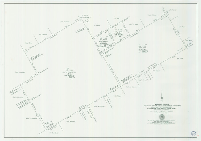
Size: 27.9 x 34.2 inches
88889
Johnson County Working Sketch 29
83060.tif
Print $20.00 - Digital $50.00

Johnson County Working Sketch 29

2006
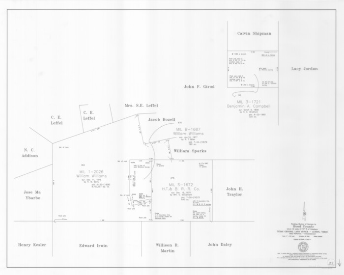
Size: 26.4 x 37.5 inches
83060
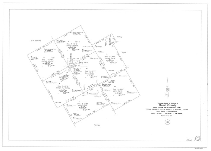
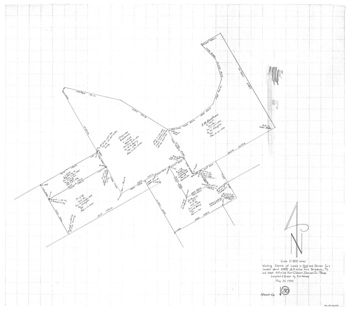
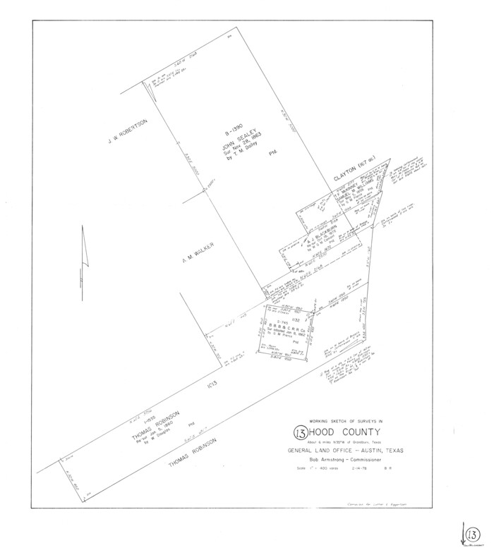
Hood County Working Sketch 32
83573.tif
Print $20.00 - Digital $50.00

Hood County Working Sketch 32

2004

Size: 28.5 x 35.6 inches
83573
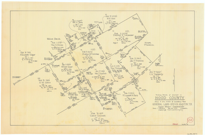
Hood County Sketch File 29 and 29A
11783, Hood County Sketch File 29 and 29A, General Map Collection
Print $26.00 - Digital $50.00

Hood County Sketch File 29 and 29A

1997

Size: 26.3 x 35.2 inches
11783
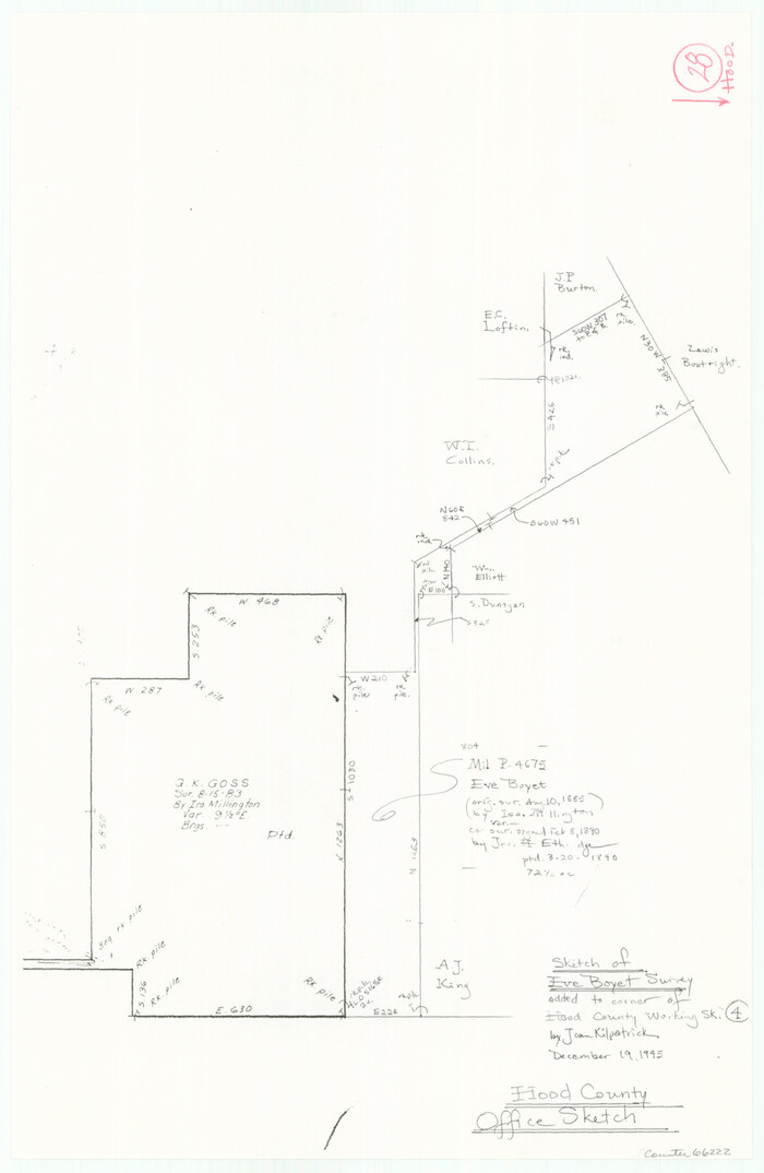
Hood County Rolled Sketch 6A
6223.tif
Print $4.00 - Digital $50.00

Hood County Rolled Sketch 6A

1996

Size: 19.9 x 26.5 inches
6223
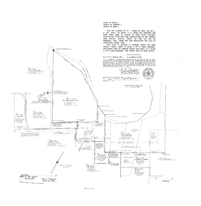
Johnson County Rolled Sketch 3
6448.tif
Print $20.00 - Digital $50.00

Johnson County Rolled Sketch 3

1990

Size: 28.7 x 28.0 inches
6448
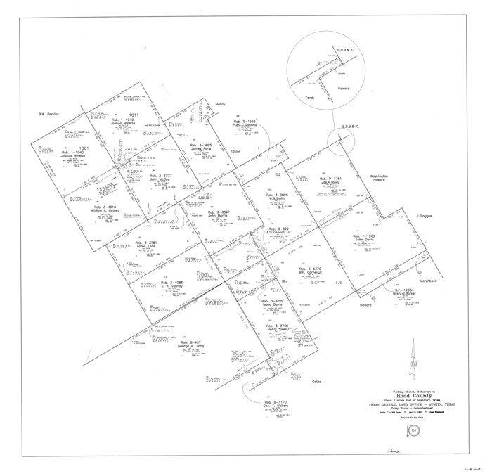
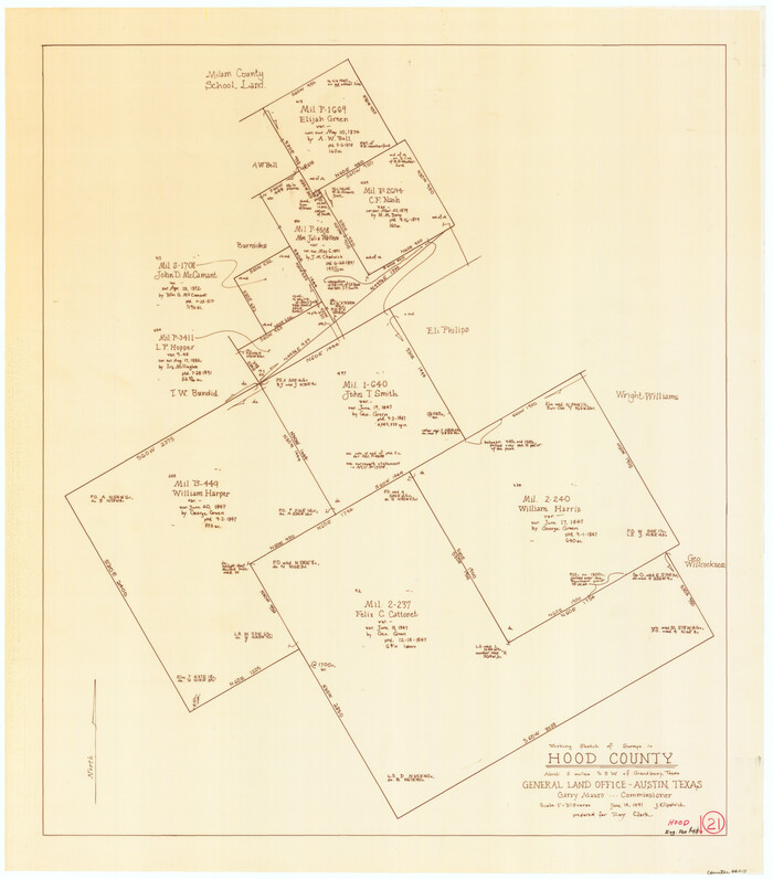
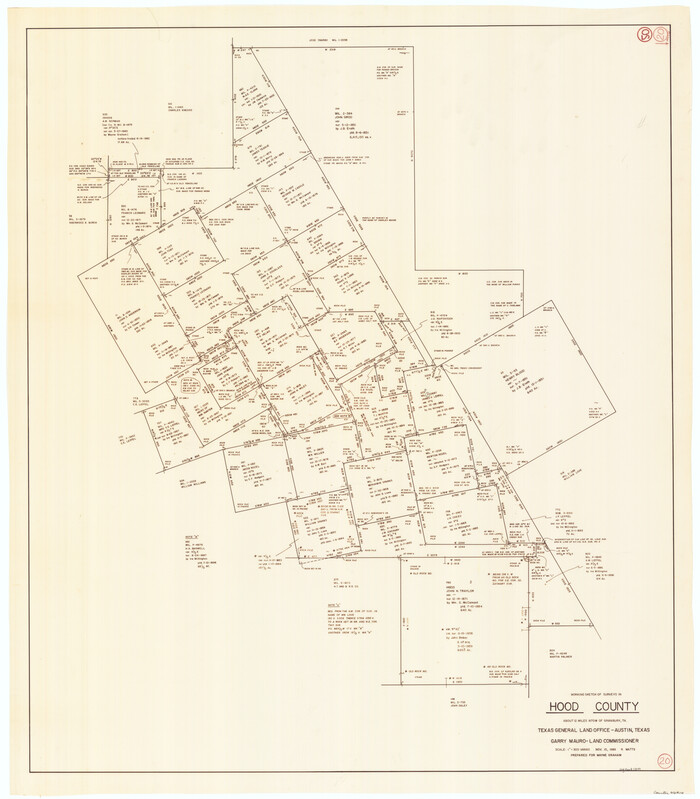
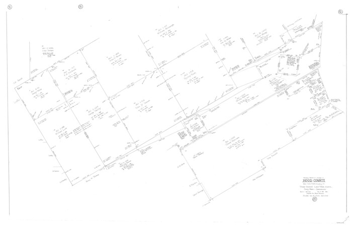
Hood County Working Sketch 16
66210-1.tif
Print $40.00 - Digital $50.00

Hood County Working Sketch 16

1987

Size: 45.2 x 71.4 inches
66210
Hood County Rolled Sketch 5
6221.tif
Print $20.00 - Digital $50.00

Hood County Rolled Sketch 5

1980

Size: 29.9 x 32.2 inches
6221
Hood County Rolled Sketch 3
9179.tif
Print $20.00 - Digital $50.00

Hood County Rolled Sketch 3

1967

Size: 33.2 x 36.2 inches
9179
Erath County Sketch File 33
22315, Erath County Sketch File 33, General Map Collection
Print $11.00 - Digital $50.00

Erath County Sketch File 33

1962

Size: 14.4 x 8.8 inches
22315
General Highway Map, Hood County, Somervell County, Texas
79523.tif
Print $20.00

General Highway Map, Hood County, Somervell County, Texas

1961

Size: 18.1 x 24.6 inches
79523
Map of Granbury
3041.tif
Print $20.00 - Digital $50.00

Map of Granbury

1960

Size: 23.5 x 26.7 inches
3041
Hood County Sketch File 25
26623, Hood County Sketch File 25, General Map Collection
Print $12.00 - Digital $50.00

Hood County Sketch File 25

1958

Size: 11.3 x 8.9 inches
26623
Hood County Rolled Sketch 2
6219.tif
Print $20.00 - Digital $50.00

Hood County Rolled Sketch 2

1958

Size: 18.0 x 27.4 inches
6219
Johnson County Rolled Sketch 2
6447.tif
Print $20.00 - Digital $50.00

Johnson County Rolled Sketch 2

1956

Size: 20.6 x 22.3 inches
6447
Hood County Rolled Sketch 1
9177-GC.tif
Print $20.00 - Digital $50.00

Hood County Rolled Sketch 1

1946

Size: 31.9 x 38.6 inches
9177
Hood County Sketch File 24
26619, Hood County Sketch File 24, General Map Collection
Print $8.00 - Digital $50.00

Hood County Sketch File 24

1942

Size: 11.0 x 9.0 inches
26619
Hood County
1857.tif
Print $20.00 - Digital $50.00

Hood County

1941

Size: 39.5 x 32.8 inches
1857
Hood County
73182.tif
Print $20.00 - Digital $50.00

Hood County

1941

Size: 39.5 x 32.6 inches
73182
Hood County Working Sketch Graphic Index
76580.tif
Print $20.00 - Digital $50.00

Hood County Working Sketch Graphic Index

1941

Size: 35.9 x 31.8 inches
76580
Hood County
77314.tif
Print $20.00 - Digital $50.00

Hood County

1941

Size: 35.6 x 31.2 inches
77314
Hood County
95532.tif
Print $20.00 - Digital $50.00

Hood County

1941

Size: 40.9 x 33.9 inches
95532
Johnson County Rolled Sketch 1
6446-1.tif
Print $20.00 - Digital $50.00

Johnson County Rolled Sketch 1

1941

Size: 19.4 x 33.4 inches
6446
General Highway Map, Hood County, Somervell County, Texas
79131.tif
Print $20.00

General Highway Map, Hood County, Somervell County, Texas

1940

Size: 18.3 x 24.8 inches
79131
Somervell County Rolled Sketch D
7794.tif
Print $20.00 - Digital $50.00

Somervell County Rolled Sketch D

1939

Size: 17.3 x 21.0 inches
7794
Somervell County Sketch File 6
36847, Somervell County Sketch File 6, General Map Collection
Print $6.00 - Digital $50.00

Somervell County Sketch File 6

1939

Size: 13.6 x 8.6 inches
36847
G. C. & S. F. Ry. Northern-Division, Alignment and Right of Way Map, Weatherford Branch, Johnson and Hood Counties, Texas
64647-GC.tif
Print $40.00 - Digital $50.00

G. C. & S. F. Ry. Northern-Division, Alignment and Right of Way Map, Weatherford Branch, Johnson and Hood Counties, Texas

1935

Size: 37.2 x 121.7 inches
64647
[G. C. & S. F. Ry. Northern-Division, Alignment and Right of Way Map, Weatherford Branch, Johnson and Hood Counties, Texas]
64648.tif
Print $40.00 - Digital $50.00

[G. C. & S. F. Ry. Northern-Division, Alignment and Right of Way Map, Weatherford Branch, Johnson and Hood Counties, Texas]

1935

Size: 37.4 x 120.9 inches
64648
Hood County Rolled Sketch 8
90084, Hood County Rolled Sketch 8, General Map Collection
Print $20.00 - Digital $50.00

Hood County Rolled Sketch 8

2011

  • Size

    19.3 x 24.5 inches

  • Map/Doc

    90084

  • Creation Date

    2011

Hood County Rolled Sketch 7
89062, Hood County Rolled Sketch 7, General Map Collection
Print $20.00 - Digital $50.00

Hood County Rolled Sketch 7

2009

  • Size

    19.1 x 24.5 inches

  • Map/Doc

    89062

  • Creation Date

    2009

Somervell County Working Sketch 7
88889, Somervell County Working Sketch 7, General Map Collection
Print $6.00 - Digital $50.00

Somervell County Working Sketch 7

2008

  • Size

    27.9 x 34.2 inches

  • Map/Doc

    88889

  • Creation Date

    2008

Johnson County Working Sketch 29
83060, Johnson County Working Sketch 29, General Map Collection
Print $20.00 - Digital $50.00

Johnson County Working Sketch 29

2006

  • Size

    26.4 x 37.5 inches

  • Map/Doc

    83060

  • Creation Date

    2006

Hood County Working Sketch 32
83573, Hood County Working Sketch 32, General Map Collection
Print $20.00 - Digital $50.00

Hood County Working Sketch 32

2004

  • Size

    28.5 x 35.6 inches

  • Map/Doc

    83573

  • Creation Date

    2004

Hood County Sketch File 29 and 29A
11783, Hood County Sketch File 29 and 29A, General Map Collection
Print $26.00 - Digital $50.00

Hood County Sketch File 29 and 29A

1997

  • Size

    26.3 x 35.2 inches

  • Map/Doc

    11783

  • Creation Date

    1997

Hood County Rolled Sketch 6A
6223, Hood County Rolled Sketch 6A, General Map Collection
Print $4.00 - Digital $50.00

Hood County Rolled Sketch 6A

1996

  • Size

    19.9 x 26.5 inches

  • Map/Doc

    6223

  • Creation Date

    1996

Johnson County Rolled Sketch 3
6448, Johnson County Rolled Sketch 3, General Map Collection
Print $20.00 - Digital $50.00

Johnson County Rolled Sketch 3

1990

  • Size

    28.7 x 28.0 inches

  • Map/Doc

    6448

  • Creation Date

    1990

Hood County Working Sketch 16
66210, Hood County Working Sketch 16, General Map Collection
Print $40.00 - Digital $50.00

Hood County Working Sketch 16

1987

  • Size

    45.2 x 71.4 inches

  • Map/Doc

    66210

  • Creation Date

    1987

Hood County Rolled Sketch 5
6221, Hood County Rolled Sketch 5, General Map Collection
Print $20.00 - Digital $50.00

Hood County Rolled Sketch 5

1980

  • Size

    29.9 x 32.2 inches

  • Map/Doc

    6221

  • Creation Date

    1980

Hood County Rolled Sketch 3
9179, Hood County Rolled Sketch 3, General Map Collection
Print $20.00 - Digital $50.00

Hood County Rolled Sketch 3

1967

  • Size

    33.2 x 36.2 inches

  • Map/Doc

    9179

  • Creation Date

    1967

Erath County Sketch File 33
22315, Erath County Sketch File 33, General Map Collection
Print $11.00 - Digital $50.00

Erath County Sketch File 33

1962

  • Size

    14.4 x 8.8 inches

  • Map/Doc

    22315

  • Creation Date

    1962

General Highway Map, Hood County, Somervell County, Texas
79523, General Highway Map, Hood County, Somervell County, Texas, Texas State Library and Archives
Print $20.00

General Highway Map, Hood County, Somervell County, Texas

1961

  • Size

    18.1 x 24.6 inches

  • Map/Doc

    79523

  • Creation Date

    1961

Map of Granbury
3041, Map of Granbury, General Map Collection
Print $20.00 - Digital $50.00

Map of Granbury

1960

  • Size

    23.5 x 26.7 inches

  • Map/Doc

    3041

  • Creation Date

    1960

Hood County Sketch File 25
26623, Hood County Sketch File 25, General Map Collection
Print $12.00 - Digital $50.00

Hood County Sketch File 25

1958

  • Size

    11.3 x 8.9 inches

  • Map/Doc

    26623

  • Creation Date

    1958

Hood County Rolled Sketch 2
6219, Hood County Rolled Sketch 2
Print $20.00 - Digital $50.00

Hood County Rolled Sketch 2

1958

  • Size

    18.0 x 27.4 inches

  • Map/Doc

    6219

  • Creation Date

    1958

Johnson County Rolled Sketch 2
6447, Johnson County Rolled Sketch 2, General Map Collection
Print $20.00 - Digital $50.00

Johnson County Rolled Sketch 2

1956

  • Size

    20.6 x 22.3 inches

  • Map/Doc

    6447

  • Creation Date

    1956

Hood County Rolled Sketch 1
9177, Hood County Rolled Sketch 1, General Map Collection
Print $20.00 - Digital $50.00

Hood County Rolled Sketch 1

1946

  • Size

    31.9 x 38.6 inches

  • Map/Doc

    9177

  • Creation Date

    1946

Hood County Sketch File 24
26619, Hood County Sketch File 24, General Map Collection
Print $8.00 - Digital $50.00

Hood County Sketch File 24

1942

  • Size

    11.0 x 9.0 inches

  • Map/Doc

    26619

  • Creation Date

    1942

Hood County
1857, Hood County, General Map Collection
Print $20.00 - Digital $50.00

Hood County

1941

  • Size

    39.5 x 32.8 inches

  • Map/Doc

    1857

  • Creation Date

    1941

Hood County
73182, Hood County, General Map Collection
Print $20.00 - Digital $50.00

Hood County

1941

  • Size

    39.5 x 32.6 inches

  • Map/Doc

    73182

  • Creation Date

    1941

Hood County Working Sketch Graphic Index
76580, Hood County Working Sketch Graphic Index, General Map Collection
Print $20.00 - Digital $50.00

Hood County Working Sketch Graphic Index

1941

  • Size

    35.9 x 31.8 inches

  • Map/Doc

    76580

  • Creation Date

    1941

Hood County
77314, Hood County, General Map Collection
Print $20.00 - Digital $50.00

Hood County

1941

  • Size

    35.6 x 31.2 inches

  • Map/Doc

    77314

  • Creation Date

    1941

Hood County
95532, Hood County, General Map Collection
Print $20.00 - Digital $50.00

Hood County

1941

  • Size

    40.9 x 33.9 inches

  • Map/Doc

    95532

  • Creation Date

    1941

Johnson County Rolled Sketch 1
6446, Johnson County Rolled Sketch 1, General Map Collection
Print $20.00 - Digital $50.00

Johnson County Rolled Sketch 1

1941

  • Size

    19.4 x 33.4 inches

  • Map/Doc

    6446

  • Creation Date

    1941

General Highway Map, Hood County, Somervell County, Texas
79131, General Highway Map, Hood County, Somervell County, Texas, Texas State Library and Archives
Print $20.00

General Highway Map, Hood County, Somervell County, Texas

1940

  • Size

    18.3 x 24.8 inches

  • Map/Doc

    79131

  • Creation Date

    1940

Somervell County Rolled Sketch D
7794, Somervell County Rolled Sketch D, General Map Collection
Print $20.00 - Digital $50.00

Somervell County Rolled Sketch D

1939

  • Size

    17.3 x 21.0 inches

  • Map/Doc

    7794

  • Creation Date

    1939

Somervell County Sketch File 6
36847, Somervell County Sketch File 6, General Map Collection
Print $6.00 - Digital $50.00

Somervell County Sketch File 6

1939

  • Size

    13.6 x 8.6 inches

  • Map/Doc

    36847

  • Creation Date

    1939

G. C. & S. F. Ry. Northern-Division, Alignment and Right of Way Map, Weatherford Branch, Johnson and Hood Counties, Texas
64647, G. C. & S. F. Ry. Northern-Division, Alignment and Right of Way Map, Weatherford Branch, Johnson and Hood Counties, Texas, General Map Collection
Print $40.00 - Digital $50.00

G. C. & S. F. Ry. Northern-Division, Alignment and Right of Way Map, Weatherford Branch, Johnson and Hood Counties, Texas

1935

  • Size

    37.2 x 121.7 inches

  • Map/Doc

    64647

  • Creation Date

    1935

[G. C. & S. F. Ry. Northern-Division, Alignment and Right of Way Map, Weatherford Branch, Johnson and Hood Counties, Texas]
64648, [G. C. & S. F. Ry. Northern-Division, Alignment and Right of Way Map, Weatherford Branch, Johnson and Hood Counties, Texas], General Map Collection
Print $40.00 - Digital $50.00

[G. C. & S. F. Ry. Northern-Division, Alignment and Right of Way Map, Weatherford Branch, Johnson and Hood Counties, Texas]

1935

  • Size

    37.4 x 120.9 inches

  • Map/Doc

    64648

  • Creation Date

    1935