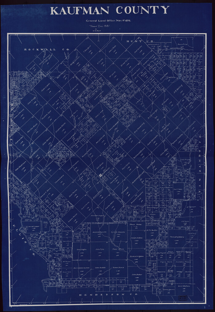
142 results

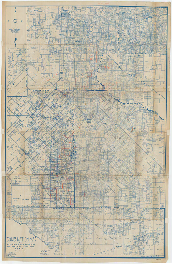
Combination Map of Henderson, Kaufman, Rains, Van Zandt, Hunt & Rockwall Counties
89810-1.tif
Print $40.00 - Digital $50.00

Combination Map of Henderson, Kaufman, Rains, Van Zandt, Hunt & Rockwall Counties

Size: 42.6 x 64.8 inches
89810
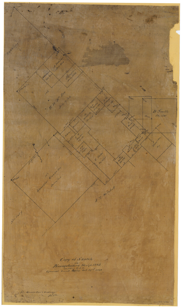
Copy of Sketch in Nacogdoches Scrip 1392
75780-1.tif
Print $20.00 - Digital $50.00

Copy of Sketch in Nacogdoches Scrip 1392

1890

Size: 25.3 x 14.7 inches
75780
Copy of sketch in Nacogdoches Donation 724 on file in GLO
75803.tif
Print $20.00 - Digital $50.00

Copy of sketch in Nacogdoches Donation 724 on file in GLO

1890
Size: 18.0 x 10.9 inches
75803
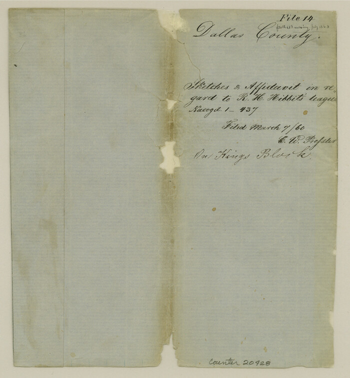
Dallas County Sketch File 14
20428, Dallas County Sketch File 14, General Map Collection
Print $22.00 - Digital $50.00

Dallas County Sketch File 14

1859

Size: 8.2 x 7.6 inches
20428
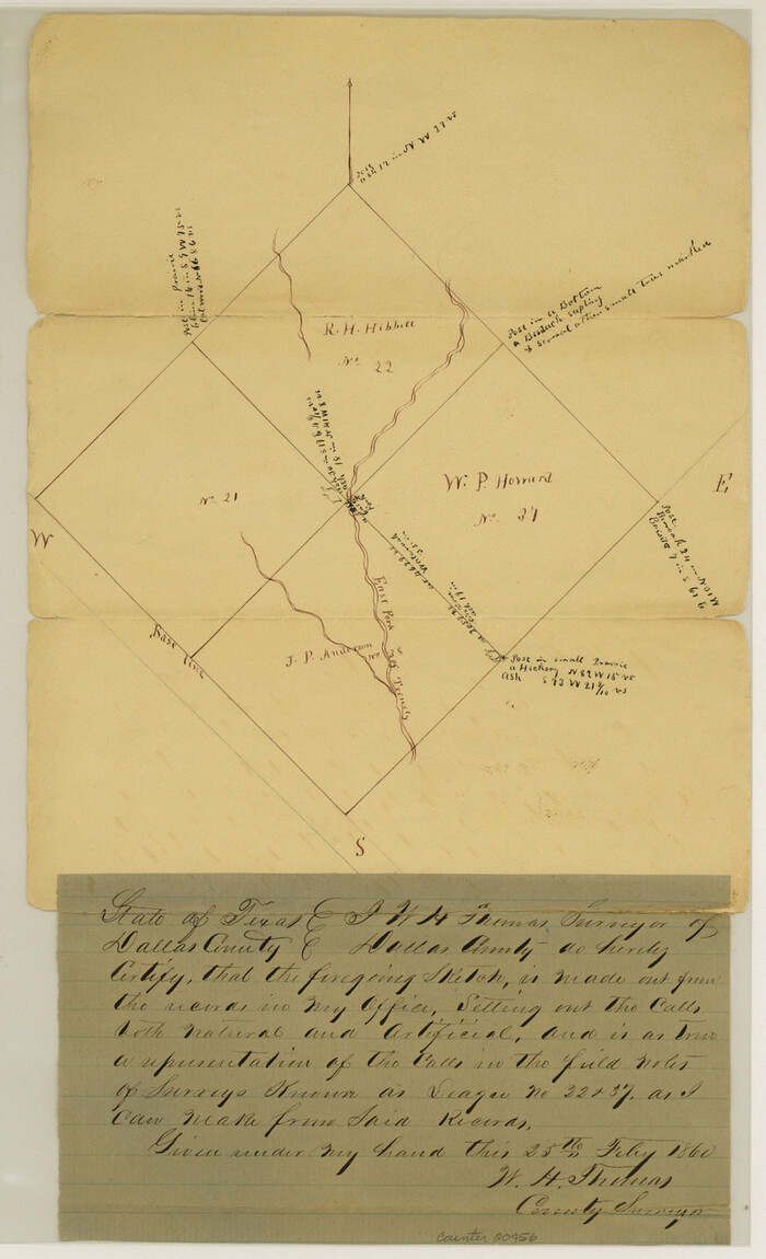
Dallas County Sketch File 23
20456, Dallas County Sketch File 23, General Map Collection
Print $6.00 - Digital $50.00

Dallas County Sketch File 23

1860

Size: 14.5 x 8.8 inches
20456
Dallas County Sketch File 24
20459, Dallas County Sketch File 24, General Map Collection
Print $4.00 - Digital $50.00

Dallas County Sketch File 24

1860

Size: 14.9 x 8.4 inches
20459
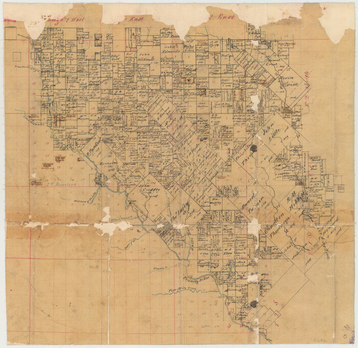
Dallas County Sketch File 3
11282, Dallas County Sketch File 3, General Map Collection
Print $20.00 - Digital $50.00

Dallas County Sketch File 3

1855

Size: 22.4 x 14.0 inches
11282
Dallas County Sketch File 5
20400, Dallas County Sketch File 5, General Map Collection
Print $18.00 - Digital $50.00

Dallas County Sketch File 5

1858

Size: 10.5 x 8.4 inches
20400
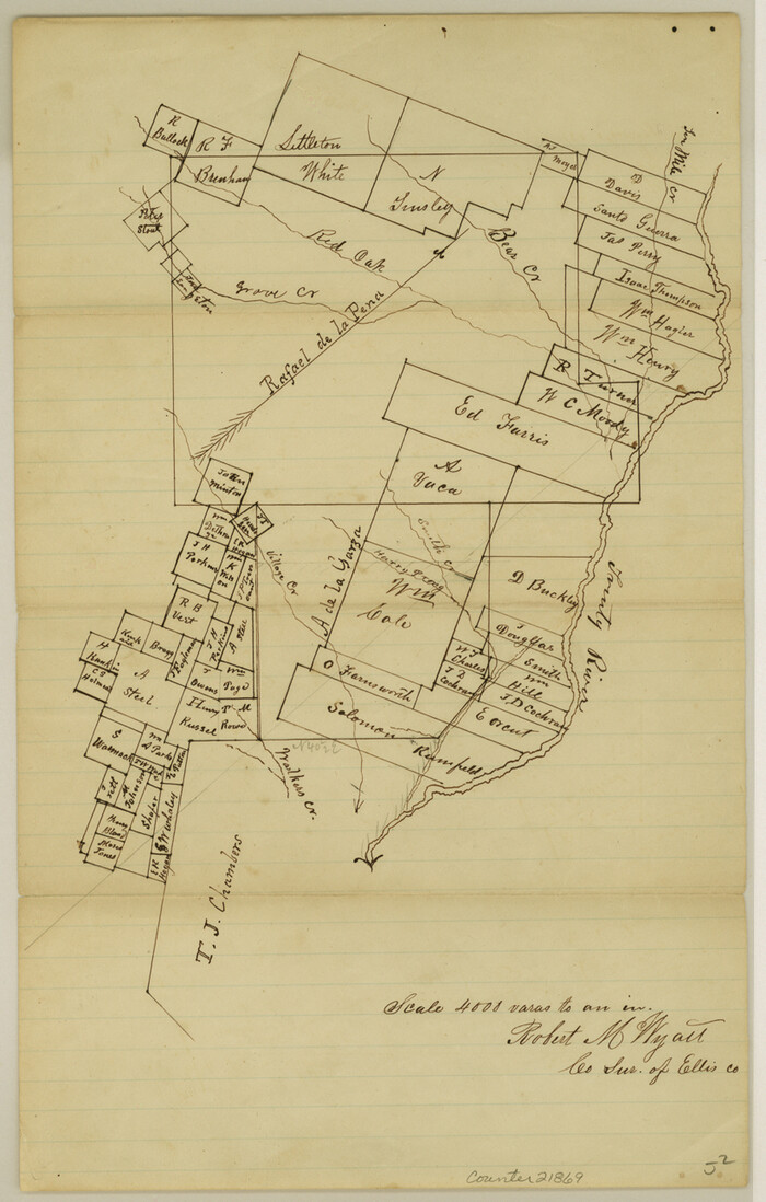
Ellis County Sketch File 20
21869, Ellis County Sketch File 20, General Map Collection
Print $19.00 - Digital $50.00

Ellis County Sketch File 20

1869

Size: 12.8 x 8.2 inches
21869
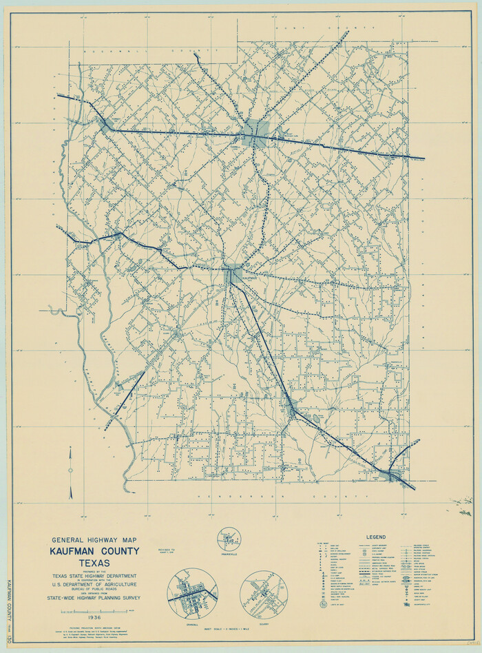
General Highway Map, Kaufman County, Texas
79152.tif
Print $20.00

General Highway Map, Kaufman County, Texas

1939
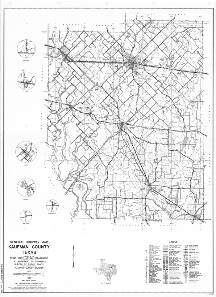
Size: 24.8 x 18.3 inches
79152
General Highway Map, Kaufman County, Texas
79548.tif
Print $20.00

General Highway Map, Kaufman County, Texas

1961
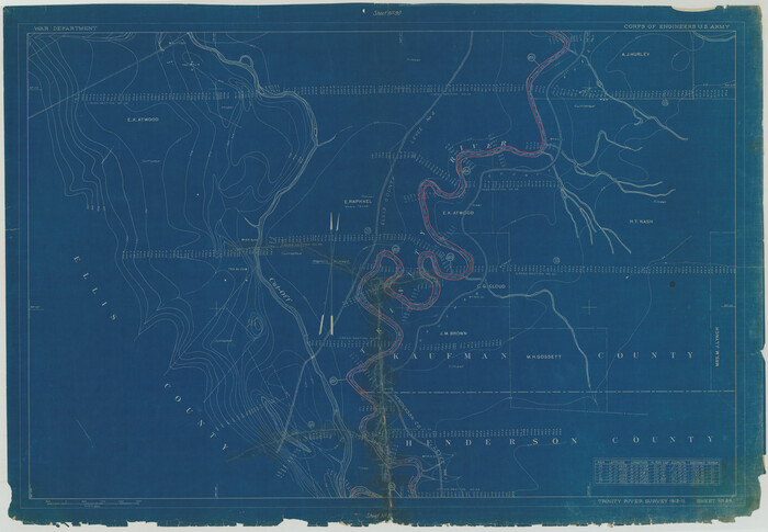
Size: 24.9 x 18.1 inches
79548
Henderson County Rolled Sketch 11
75956.tif
Print $20.00 - Digital $50.00

Henderson County Rolled Sketch 11

1915
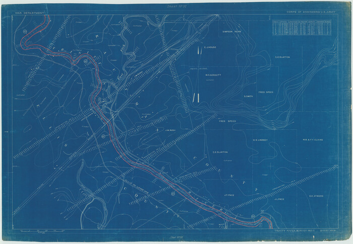
Size: 29.4 x 42.5 inches
75956
Henderson County Rolled Sketch 11
75957.tif
Print $20.00 - Digital $50.00

Henderson County Rolled Sketch 11

1915
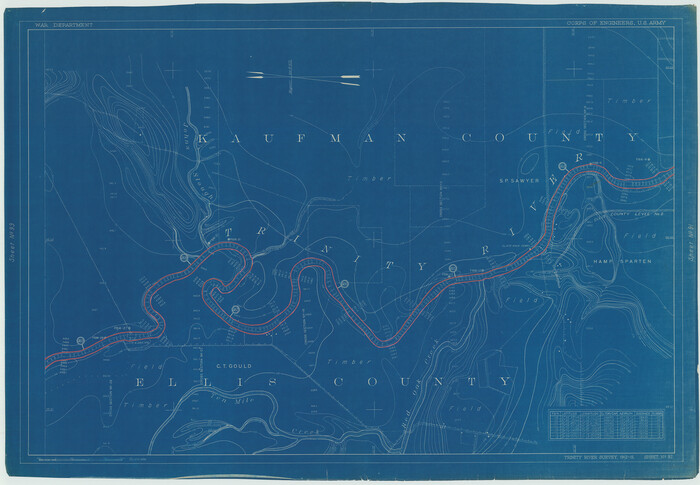
Size: 29.4 x 42.4 inches
75957
Henderson County Rolled Sketch 11
75958.tif
Print $20.00 - Digital $50.00

Henderson County Rolled Sketch 11

1915
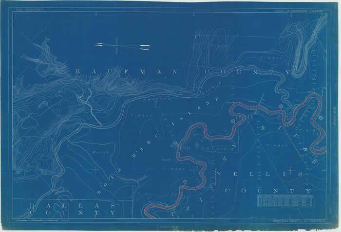
Size: 29.4 x 42.4 inches
75958
Henderson County Rolled Sketch 11
75959.tif
Print $20.00 - Digital $50.00

Henderson County Rolled Sketch 11

1915
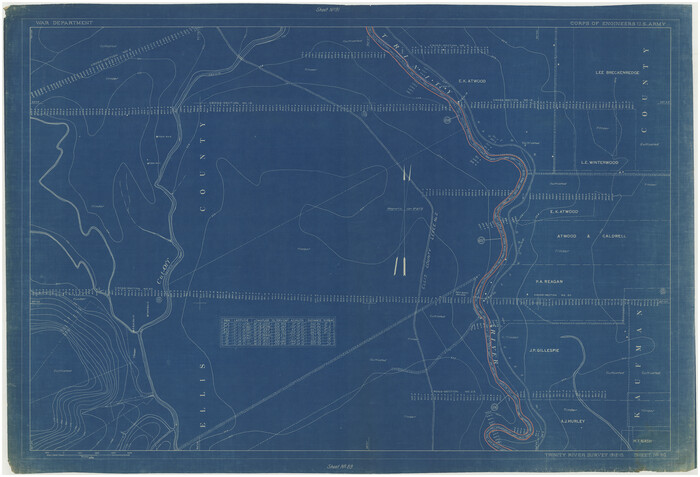
Size: 28.9 x 42.5 inches
75959
Henderson County Rolled Sketch 11
76151-1.tif
Print $20.00 - Digital $50.00

Henderson County Rolled Sketch 11

1915
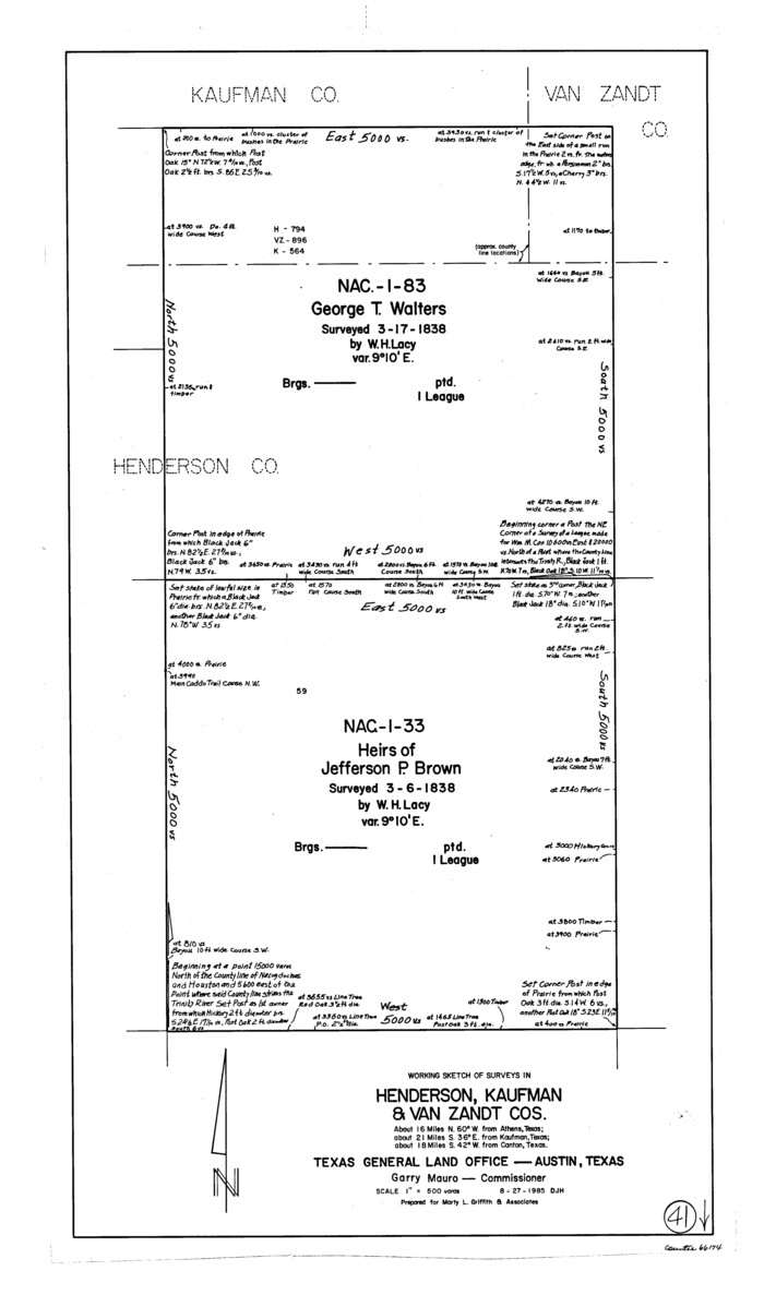
Size: 29.0 x 42.6 inches
76151
Hunt County Sketch File 1
27081, Hunt County Sketch File 1, General Map Collection
Print $4.00 - Digital $50.00

Hunt County Sketch File 1

1853

Size: 7.6 x 5.1 inches
27081
Hunt County Sketch File 17
27114, Hunt County Sketch File 17, General Map Collection
Print $8.00 - Digital $50.00

Hunt County Sketch File 17

1861

Size: 10.6 x 8.2 inches
27114
Hunt County Sketch File 43
27165, Hunt County Sketch File 43, General Map Collection
Print $6.00 - Digital $50.00

Hunt County Sketch File 43

1851

Size: 8.4 x 13.0 inches
27165
Hunt County Sketch File 8
27097, Hunt County Sketch File 8, General Map Collection
Print $4.00 - Digital $50.00

Hunt County Sketch File 8

1848

Size: 8.2 x 12.7 inches
27097
Kaufman Co.
16863.tif
Print $20.00 - Digital $50.00

Kaufman Co.

1887

Size: 42.9 x 32.9 inches
16863
Kaufman Co.
4998.tif
Print $20.00 - Digital $50.00

Kaufman Co.

1887

Size: 43.5 x 34.4 inches
4998
Kaufman County
1871.tif
Print $20.00 - Digital $50.00

Kaufman County

1942

Size: 46.6 x 38.2 inches
1871
Kaufman County
3750-2.tif
Print $20.00 - Digital $50.00

Kaufman County

1871

Size: 22.3 x 15.0 inches
3750
Kaufman County
3751.tif
Print $20.00 - Digital $50.00

Kaufman County

1896

Size: 44.0 x 28.0 inches
3751
Kaufman County
73202.tif
Print $40.00 - Digital $50.00

Kaufman County

1942

Size: 48.7 x 39.5 inches
73202
Kaufman County
77335.tif
Print $20.00 - Digital $50.00

Kaufman County

1942

Size: 44.5 x 36.7 inches
77335
Kaufman County
78485.tif
Print $20.00 - Digital $50.00

Kaufman County

1854

Size: 30.8 x 24.2 inches
78485
Kaufman County
88964.tif
Print $20.00

Kaufman County

1896

Size: 43.7 x 30.2 inches
88964
Kaufman County
95552.tif
Print $40.00 - Digital $50.00

Kaufman County

1942

Size: 50.0 x 41.0 inches
95552
Combination Map of Henderson, Kaufman, Rains, Van Zandt, Hunt & Rockwall Counties
89810, Combination Map of Henderson, Kaufman, Rains, Van Zandt, Hunt & Rockwall Counties, Twichell Survey Records
Print $40.00 - Digital $50.00

Combination Map of Henderson, Kaufman, Rains, Van Zandt, Hunt & Rockwall Counties

  • Size

    42.6 x 64.8 inches

  • Map/Doc

    89810

Copy of Sketch in Nacogdoches Scrip 1392
75780, Copy of Sketch in Nacogdoches Scrip 1392, Maddox Collection
Print $20.00 - Digital $50.00

Copy of Sketch in Nacogdoches Scrip 1392

1890

  • Size

    25.3 x 14.7 inches

  • Map/Doc

    75780

  • Creation Date

    1890

Copy of sketch in Nacogdoches Donation 724 on file in GLO
75803, Copy of sketch in Nacogdoches Donation 724 on file in GLO, Maddox Collection
Print $20.00 - Digital $50.00

Copy of sketch in Nacogdoches Donation 724 on file in GLO

1890

  • Size

    18.0 x 10.9 inches

  • Map/Doc

    75803

  • Creation Date

    1890

Dallas County Sketch File 14
20428, Dallas County Sketch File 14, General Map Collection
Print $22.00 - Digital $50.00

Dallas County Sketch File 14

1859

  • Size

    8.2 x 7.6 inches

  • Map/Doc

    20428

  • Creation Date

    1859

Dallas County Sketch File 23
20456, Dallas County Sketch File 23, General Map Collection
Print $6.00 - Digital $50.00

Dallas County Sketch File 23

1860

  • Size

    14.5 x 8.8 inches

  • Map/Doc

    20456

  • Creation Date

    1860

Dallas County Sketch File 24
20459, Dallas County Sketch File 24, General Map Collection
Print $4.00 - Digital $50.00

Dallas County Sketch File 24

1860

  • Size

    14.9 x 8.4 inches

  • Map/Doc

    20459

  • Creation Date

    1860

Dallas County Sketch File 3
11282, Dallas County Sketch File 3, General Map Collection
Print $20.00 - Digital $50.00

Dallas County Sketch File 3

1855

  • Size

    22.4 x 14.0 inches

  • Map/Doc

    11282

  • Creation Date

    1855

Dallas County Sketch File 5
20400, Dallas County Sketch File 5, General Map Collection
Print $18.00 - Digital $50.00

Dallas County Sketch File 5

1858

  • Size

    10.5 x 8.4 inches

  • Map/Doc

    20400

  • Creation Date

    1858

Ellis County Sketch File 20
21869, Ellis County Sketch File 20, General Map Collection
Print $19.00 - Digital $50.00

Ellis County Sketch File 20

1869

  • Size

    12.8 x 8.2 inches

  • Map/Doc

    21869

  • Creation Date

    1869

General Highway Map, Kaufman County, Texas
79152, General Highway Map, Kaufman County, Texas, Texas State Library and Archives
Print $20.00

General Highway Map, Kaufman County, Texas

1939

  • Size

    24.8 x 18.3 inches

  • Map/Doc

    79152

  • Creation Date

    1939

General Highway Map, Kaufman County, Texas
79548, General Highway Map, Kaufman County, Texas, Texas State Library and Archives
Print $20.00

General Highway Map, Kaufman County, Texas

1961

  • Size

    24.9 x 18.1 inches

  • Map/Doc

    79548

  • Creation Date

    1961

Henderson County Rolled Sketch 11
75956, Henderson County Rolled Sketch 11, General Map Collection
Print $20.00 - Digital $50.00

Henderson County Rolled Sketch 11

1915

  • Size

    29.4 x 42.5 inches

  • Map/Doc

    75956

  • Creation Date

    1915

Henderson County Rolled Sketch 11
75957, Henderson County Rolled Sketch 11, General Map Collection
Print $20.00 - Digital $50.00

Henderson County Rolled Sketch 11

1915

  • Size

    29.4 x 42.4 inches

  • Map/Doc

    75957

  • Creation Date

    1915

Henderson County Rolled Sketch 11
75958, Henderson County Rolled Sketch 11, General Map Collection
Print $20.00 - Digital $50.00

Henderson County Rolled Sketch 11

1915

  • Size

    29.4 x 42.4 inches

  • Map/Doc

    75958

  • Creation Date

    1915

Henderson County Rolled Sketch 11
75959, Henderson County Rolled Sketch 11, General Map Collection
Print $20.00 - Digital $50.00

Henderson County Rolled Sketch 11

1915

  • Size

    28.9 x 42.5 inches

  • Map/Doc

    75959

  • Creation Date

    1915

Henderson County Rolled Sketch 11
76151, Henderson County Rolled Sketch 11, General Map Collection
Print $20.00 - Digital $50.00

Henderson County Rolled Sketch 11

1915

  • Size

    29.0 x 42.6 inches

  • Map/Doc

    76151

  • Creation Date

    1915

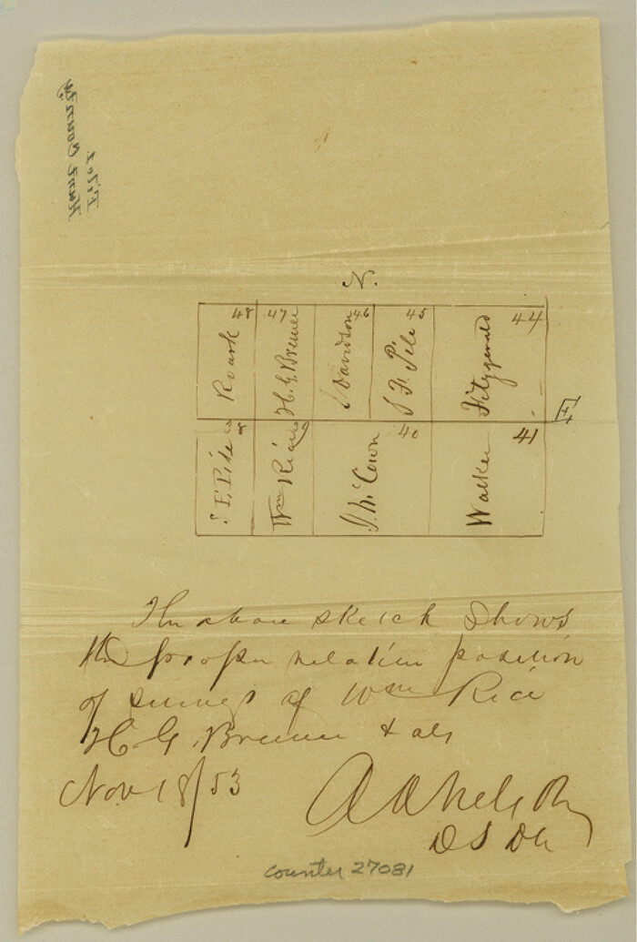
Hunt County Sketch File 1
27081, Hunt County Sketch File 1, General Map Collection
Print $4.00 - Digital $50.00

Hunt County Sketch File 1

1853

  • Size

    7.6 x 5.1 inches

  • Map/Doc

    27081

  • Creation Date

    1853

Hunt County Sketch File 17
27114, Hunt County Sketch File 17, General Map Collection
Print $8.00 - Digital $50.00

Hunt County Sketch File 17

1861

  • Size

    10.6 x 8.2 inches

  • Map/Doc

    27114

  • Creation Date

    1861

Hunt County Sketch File 43
27165, Hunt County Sketch File 43, General Map Collection
Print $6.00 - Digital $50.00

Hunt County Sketch File 43

1851

  • Size

    8.4 x 13.0 inches

  • Map/Doc

    27165

  • Creation Date

    1851

Hunt County Sketch File 8
27097, Hunt County Sketch File 8, General Map Collection
Print $4.00 - Digital $50.00

Hunt County Sketch File 8

1848

  • Size

    8.2 x 12.7 inches

  • Map/Doc

    27097

  • Creation Date

    1848

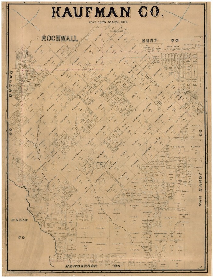
Kaufman Co.
16863, Kaufman Co., General Map Collection
Print $20.00 - Digital $50.00

Kaufman Co.

1887

  • Size

    42.9 x 32.9 inches

  • Map/Doc

    16863

  • Creation Date

    1887

Kaufman Co.
4998, Kaufman Co., General Map Collection
Print $20.00 - Digital $50.00

Kaufman Co.

1887

  • Size

    43.5 x 34.4 inches

  • Map/Doc

    4998

  • Creation Date

    1887

Kaufman County
1871, Kaufman County, General Map Collection
Print $20.00 - Digital $50.00

Kaufman County

1942

  • Size

    46.6 x 38.2 inches

  • Map/Doc

    1871

  • Creation Date

    1942

Kaufman County
3750, Kaufman County, General Map Collection
Print $20.00 - Digital $50.00

Kaufman County

1871

  • Size

    22.3 x 15.0 inches

  • Map/Doc

    3750

  • Creation Date

    1871

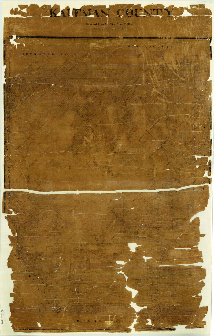
Kaufman County
3751, Kaufman County, General Map Collection
Print $20.00 - Digital $50.00

Kaufman County

1896

  • Size

    44.0 x 28.0 inches

  • Map/Doc

    3751

  • Creation Date

    1896

Kaufman County
73202, Kaufman County, General Map Collection
Print $40.00 - Digital $50.00

Kaufman County

1942

  • Size

    48.7 x 39.5 inches

  • Map/Doc

    73202

  • Creation Date

    1942

Kaufman County
77335, Kaufman County, General Map Collection
Print $20.00 - Digital $50.00

Kaufman County

1942

  • Size

    44.5 x 36.7 inches

  • Map/Doc

    77335

  • Creation Date

    1942

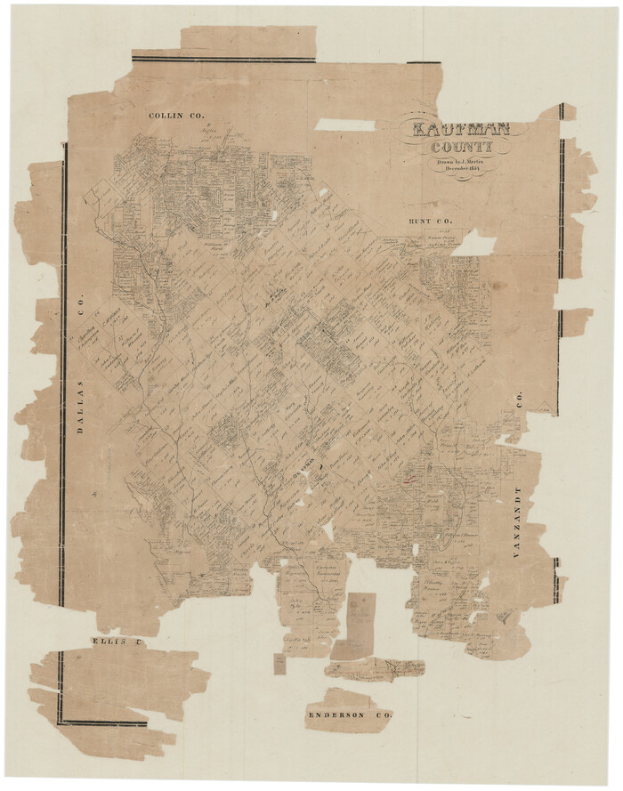
Kaufman County
78485, Kaufman County, General Map Collection
Print $20.00 - Digital $50.00

Kaufman County

1854

  • Size

    30.8 x 24.2 inches

  • Map/Doc

    78485

  • Creation Date

    1854

Kaufman County
88964, Kaufman County, Library of Congress
Print $20.00

Kaufman County

1896

  • Size

    43.7 x 30.2 inches

  • Map/Doc

    88964

  • Creation Date

    1896

Kaufman County
95552, Kaufman County, General Map Collection
Print $40.00 - Digital $50.00

Kaufman County

1942

  • Size

    50.0 x 41.0 inches

  • Map/Doc

    95552

  • Creation Date

    1942