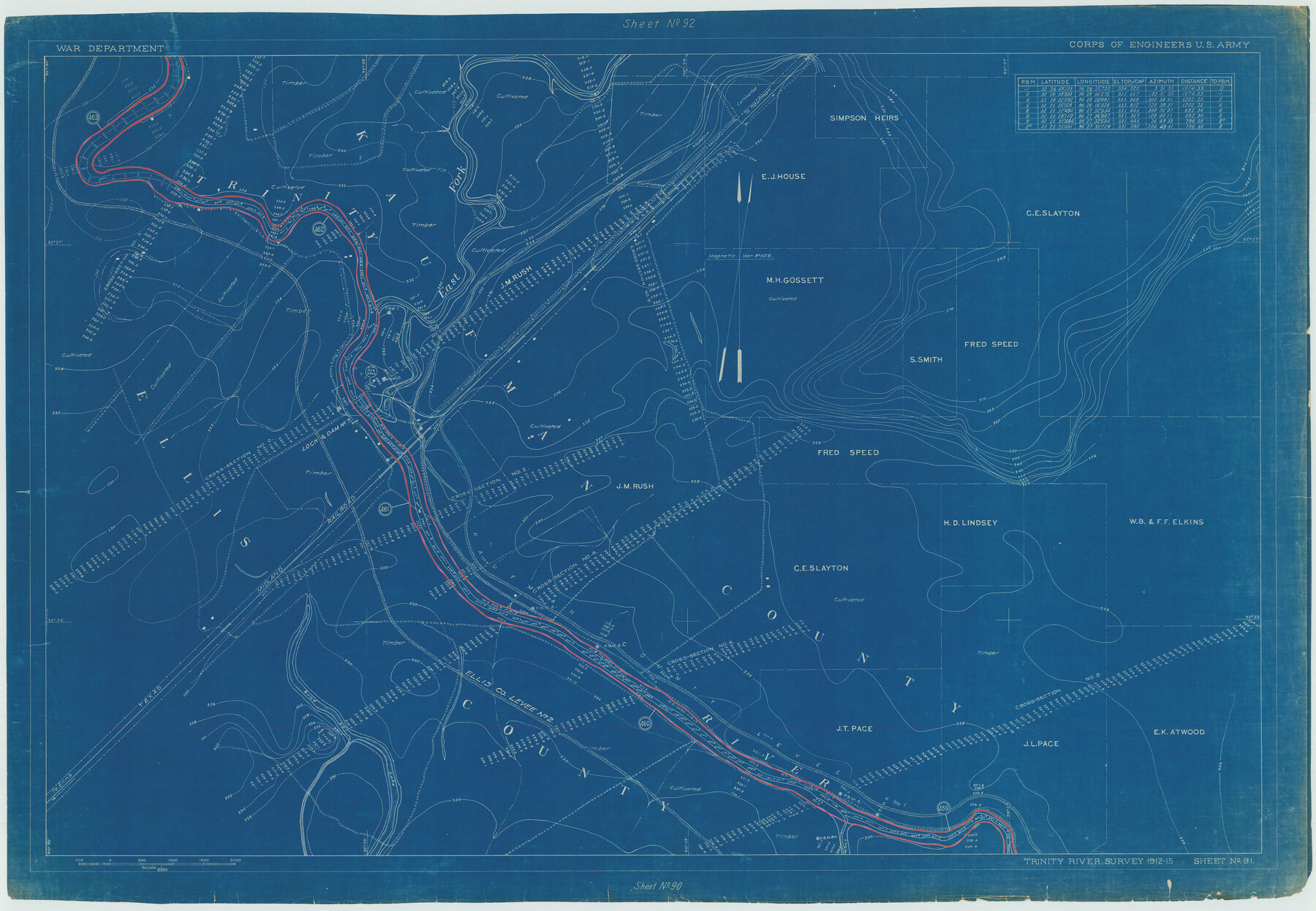
Henderson County Rolled Sketch 11
Trinity River Survey 1912-15, Sheet No. 91
N-1-45
-
Map/Doc
75957
-
Collection
General Map Collection
-
Object Dates
1915 (Creation Date)
1976/2/13 (File Date)
-
People and Organizations
War Department (Publisher)
-
Counties
Ellis Kaufman
-
Subjects
River Surveys Surveying Rolled Sketch
-
Height x Width
29.4 x 42.4 inches
74.7 x 107.7 cm
-
Medium
blueprint/diazo
Part of: General Map Collection
Corpus Christi Bay, Texas

Print $40.00
- Digital $50.00
Corpus Christi Bay, Texas
1867
Size 33.9 x 54.8 inches
Map/Doc 73470
Edwards County Sketch File 17

Print $20.00
- Digital $50.00
Edwards County Sketch File 17
Size 31.8 x 18.3 inches
Map/Doc 11429
Current Miscellaneous File 57

Print $4.00
- Digital $50.00
Current Miscellaneous File 57
1955
Size 11.8 x 9.2 inches
Map/Doc 74050
Brewster County Rolled Sketch 81

Print $20.00
- Digital $50.00
Brewster County Rolled Sketch 81
1945
Size 30.8 x 33.9 inches
Map/Doc 8494
Kimble County Working Sketch 60

Print $20.00
- Digital $50.00
Kimble County Working Sketch 60
1964
Size 43.8 x 38.2 inches
Map/Doc 70128
Sutton County Sketch File E2

Print $20.00
- Digital $50.00
Sutton County Sketch File E2
Size 16.8 x 19.0 inches
Map/Doc 12397
Flight Mission No. CLL-1N, Frame 108, Willacy County

Print $20.00
- Digital $50.00
Flight Mission No. CLL-1N, Frame 108, Willacy County
1954
Size 18.3 x 22.0 inches
Map/Doc 87042
Cooke County Working Sketch 9

Print $20.00
- Digital $50.00
Cooke County Working Sketch 9
1940
Size 40.6 x 27.9 inches
Map/Doc 68246
Traveller's Map of the State of Texas

Print $20.00
- Digital $50.00
Traveller's Map of the State of Texas
1867
Size 41.8 x 38.9 inches
Map/Doc 4328

Foard County Sketch File 37

Print $4.00
- Digital $50.00
Foard County Sketch File 37
1891
Size 11.2 x 9.1 inches
Map/Doc 22869
Map of the Western Part of Bexar District

Print $40.00
- Digital $50.00
Map of the Western Part of Bexar District
1849
Size 64.0 x 54.3 inches
Map/Doc 16944
You may also like
Hale County Sketch File 21

Print $20.00
- Digital $50.00
Hale County Sketch File 21
Size 7.0 x 26.6 inches
Map/Doc 11597
Flight Mission No. DIX-5P, Frame 142, Aransas County

Print $20.00
- Digital $50.00
Flight Mission No. DIX-5P, Frame 142, Aransas County
1956
Size 18.0 x 18.0 inches
Map/Doc 83803
Webb County Working Sketch 53

Print $20.00
- Digital $50.00
Webb County Working Sketch 53
1952
Size 27.5 x 29.0 inches
Map/Doc 72419
Right of Way Track Map, Wichita Falls & Southern Railroad Company

Print $40.00
- Digital $50.00
Right of Way Track Map, Wichita Falls & Southern Railroad Company
1942
Size 24.5 x 56.1 inches
Map/Doc 64514
Galveston County Rolled Sketch V

Print $20.00
- Digital $50.00
Galveston County Rolled Sketch V
1934
Size 38.7 x 30.3 inches
Map/Doc 5992
Liberty County Rolled Sketch P

Print $33.00
- Digital $50.00
Liberty County Rolled Sketch P
Size 10.3 x 16.5 inches
Map/Doc 46545
Rusk County Working Sketch 25

Print $20.00
- Digital $50.00
Rusk County Working Sketch 25
1941
Size 39.8 x 25.1 inches
Map/Doc 63661

Crockett County Working Sketch Graphic Index - northwest part - sheet A

Print $40.00
- Digital $50.00
Crockett County Working Sketch Graphic Index - northwest part - sheet A
1983
Size 37.0 x 48.2 inches
Map/Doc 76509
Refugio County Sketch File 3

Print $8.00
- Digital $50.00
Refugio County Sketch File 3
1849
Size 12.9 x 8.6 inches
Map/Doc 35241
Grayson County Working Sketch Graphic Index

Print $20.00
- Digital $50.00
Grayson County Working Sketch Graphic Index
1935
Size 44.4 x 41.0 inches
Map/Doc 76558
Montgomery County Rolled Sketch 13

Print $40.00
- Digital $50.00
Montgomery County Rolled Sketch 13
1932
Size 37.9 x 57.3 inches
Map/Doc 9526