
Aransas Pass to Baffin Bay
1922

Aransas Pass to Baffin Bay
1922

Aransas Pass to Baffin Bay
1937
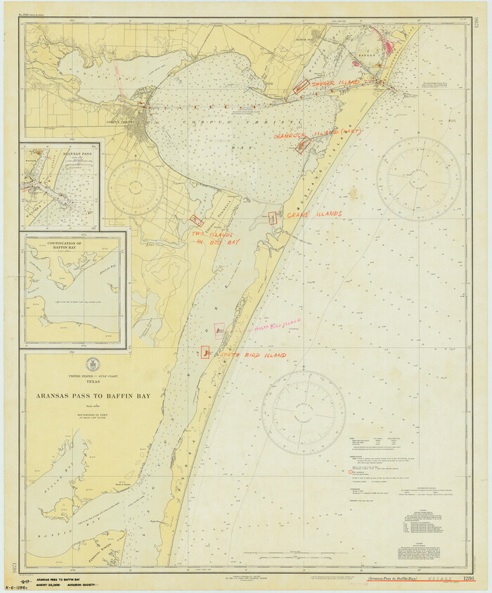
Aransas Pass to Baffin Bay
1938

Aransas Pass to Baffin Bay
1946
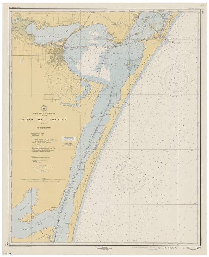
Aransas Pass to Baffin Bay
1949

Aransas Pass to Baffin Bay
1961

Aransas Pass to Baffin Bay
1966

Aransas Pass to Baffin Bay
1966

Aransas Pass to Baffin Bay
1971

Aransas Pass to Baffin Bay
1973

Aransas Pass to Baffin Bay
1976

Aransas Pass to Baffin Bay
1981
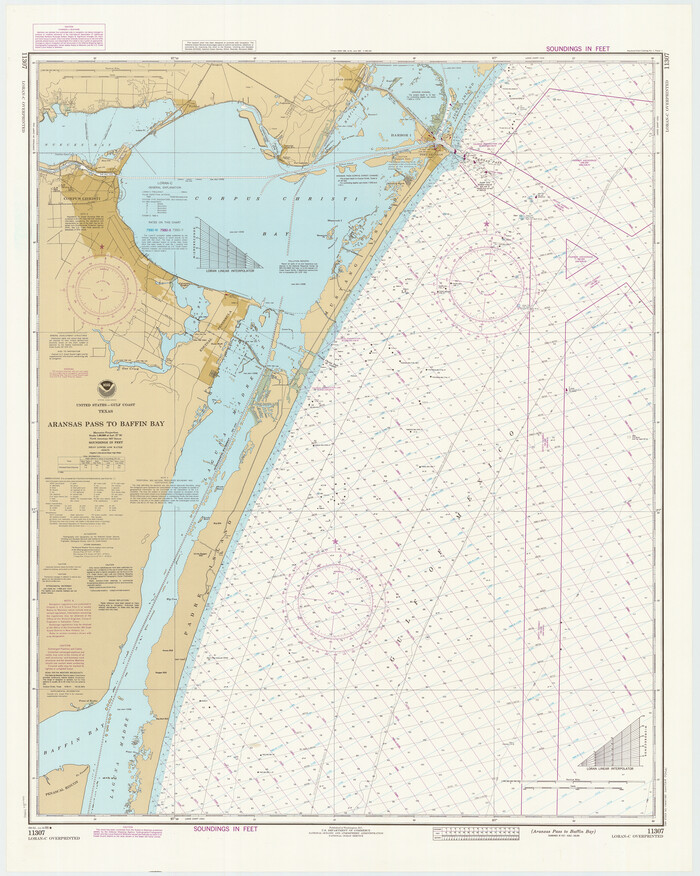
Aransas Pass to Baffin Bay
1986

Aransas Pass to Baffin Bay
1988
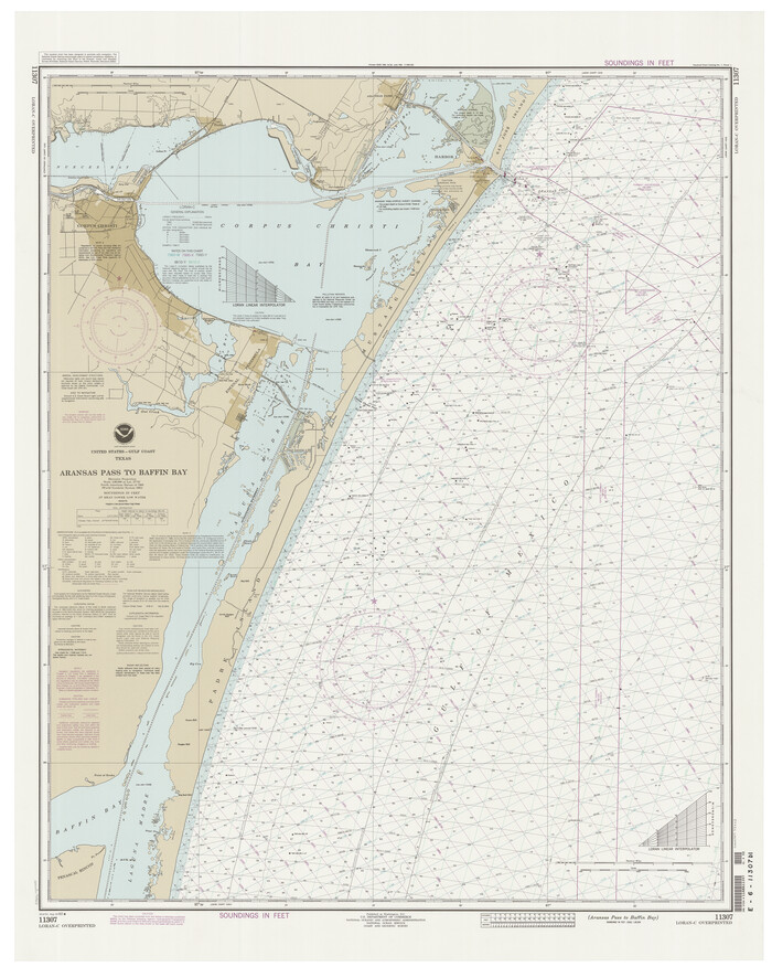
Aransas Pass to Baffin Bay
1992
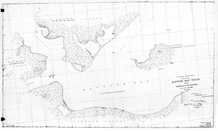
Baffin Bay, Texas from Penescal Triangulation Station to Bovido Triangulation Station
1881

Baffin and Alazan Bays, Cayo Infiernillo in Kenedy and Kleberg Counties, showing Subdivision for Mineral Development
1949
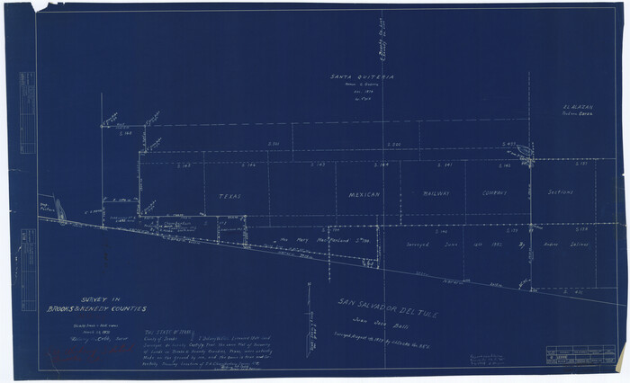
Brooks County Rolled Sketch 15
1931
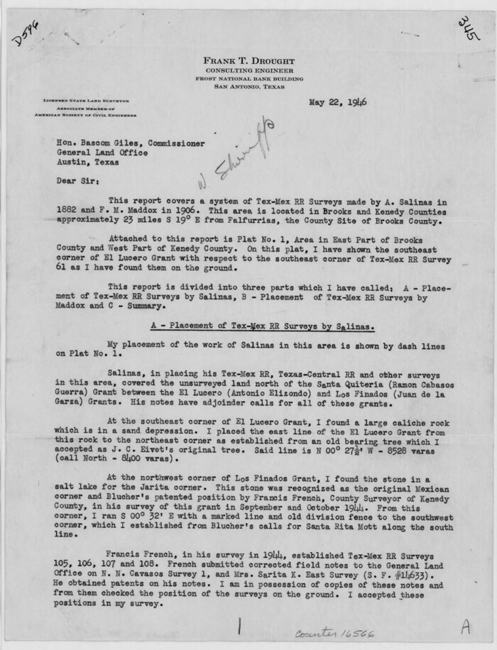
Brooks County Sketch File 7
1946

Brooks County Sketch File 8
1946

Brooks County Working Sketch 3

Brooks County Working Sketch 9
1931
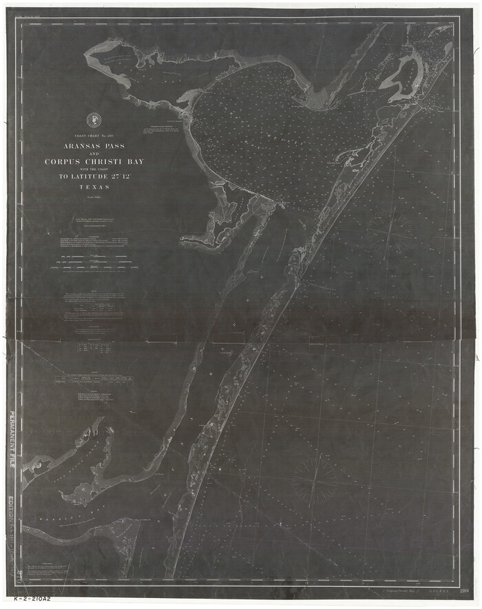
Coast Chart No. 210 - Aransas Pass and Corpus Christi Bay with the coast to latitude 27° 12', Texas
1887
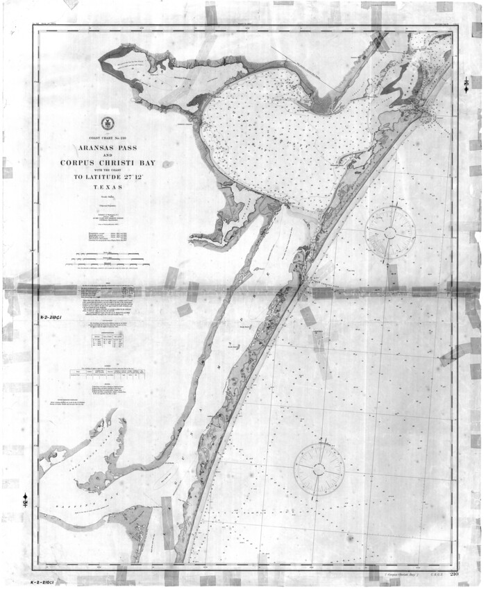
Coast Chart No. 210 - Aransas Pass and Corpus Christi Bay with the coast to latitude 27° 12', Texas
1907

Coast Chart No. 211 - Padre I. and Laguna Madre, Lat. 27° 12' to Lat. 26° 33', Texas
1890

Coast Chart No. 211 - Padre I. and Laguna Madre, Lat. 27° 12' to Lat. 26° 33', Texas
1890

Coast Chart No. 211 - Padre I. and Laguna Madre, Lat. 27° 12' to Lat. 26° 33', Texas
1890
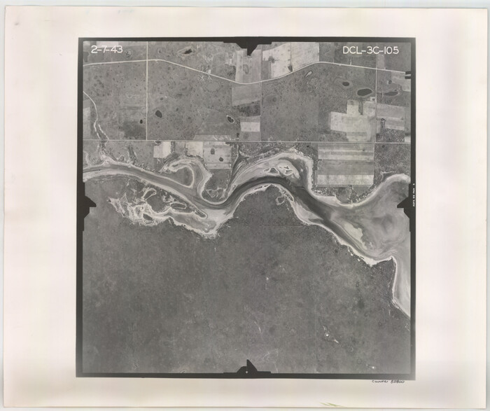
Flight Mission No. DCL-3C, Frame 105, Kenedy County
1943

Flight Mission No. DCL-3C, Frame 106, Kenedy County
1943

Aransas Pass to Baffin Bay
1922
-
Size
18.5 x 27.2 inches
-
Map/Doc
73408
-
Creation Date
1922

Aransas Pass to Baffin Bay
1922
-
Size
18.6 x 27.8 inches
-
Map/Doc
73409
-
Creation Date
1922

Aransas Pass to Baffin Bay
1937
-
Size
41.6 x 34.5 inches
-
Map/Doc
73410
-
Creation Date
1937

Aransas Pass to Baffin Bay
1938
-
Size
41.6 x 34.5 inches
-
Map/Doc
73411
-
Creation Date
1938

Aransas Pass to Baffin Bay
1946
-
Size
42.1 x 34.3 inches
-
Map/Doc
73412
-
Creation Date
1946

Aransas Pass to Baffin Bay
1949
-
Size
42.6 x 34.7 inches
-
Map/Doc
73413
-
Creation Date
1949

Aransas Pass to Baffin Bay
1961
-
Size
42.1 x 35.4 inches
-
Map/Doc
73414
-
Creation Date
1961

Aransas Pass to Baffin Bay
1966
-
Size
42.3 x 35.0 inches
-
Map/Doc
73415
-
Creation Date
1966

Aransas Pass to Baffin Bay
1966
-
Size
42.3 x 34.9 inches
-
Map/Doc
73416
-
Creation Date
1966

Aransas Pass to Baffin Bay
1971
-
Size
42.3 x 35.2 inches
-
Map/Doc
73417
-
Creation Date
1971

Aransas Pass to Baffin Bay
1973
-
Size
42.0 x 35.1 inches
-
Map/Doc
73418
-
Creation Date
1973

Aransas Pass to Baffin Bay
1976
-
Size
41.9 x 35.3 inches
-
Map/Doc
73419
-
Creation Date
1976

Aransas Pass to Baffin Bay
1981
-
Size
43.0 x 35.0 inches
-
Map/Doc
73420
-
Creation Date
1981

Aransas Pass to Baffin Bay
1986
-
Size
44.7 x 35.7 inches
-
Map/Doc
73421
-
Creation Date
1986

Aransas Pass to Baffin Bay
1988
-
Size
48.7 x 36.0 inches
-
Map/Doc
73422
-
Creation Date
1988

Aransas Pass to Baffin Bay
1992
-
Size
45.0 x 36.0 inches
-
Map/Doc
73423
-
Creation Date
1992

Baffin Bay, Texas from Penescal Triangulation Station to Bovido Triangulation Station
1881
-
Size
32.6 x 54.2 inches
-
Map/Doc
73484
-
Creation Date
1881

Baffin and Alazan Bays, Cayo Infiernillo in Kenedy and Kleberg Counties, showing Subdivision for Mineral Development
1949
-
Size
33.0 x 52.4 inches
-
Map/Doc
1923
-
Creation Date
1949

Brooks County Rolled Sketch 15
1931
-
Size
22.4 x 36.8 inches
-
Map/Doc
5340
-
Creation Date
1931

Brooks County Sketch File 7
1946
-
Size
11.3 x 8.6 inches
-
Map/Doc
16566
-
Creation Date
1946

Brooks County Sketch File 8
1946
-
Size
26.5 x 38.4 inches
-
Map/Doc
11018
-
Creation Date
1946

Brooks County Working Sketch 3
-
Size
16.2 x 21.3 inches
-
Map/Doc
67787

Brooks County Working Sketch 9
1931
-
Size
25.7 x 38.7 inches
-
Map/Doc
67793
-
Creation Date
1931

Coast Chart No. 210 - Aransas Pass and Corpus Christi Bay with the coast to latitude 27° 12', Texas
1887
-
Size
30.4 x 24.0 inches
-
Map/Doc
73444
-
Creation Date
1887

Coast Chart No. 210 - Aransas Pass and Corpus Christi Bay with the coast to latitude 27° 12', Texas
1907
-
Size
44.2 x 36.5 inches
-
Map/Doc
73449
-
Creation Date
1907

Coast Chart No. 211 - Padre I. and Laguna Madre, Lat. 27° 12' to Lat. 26° 33', Texas
1890
-
Size
40.1 x 33.7 inches
-
Map/Doc
73500
-
Creation Date
1890

Coast Chart No. 211 - Padre I. and Laguna Madre, Lat. 27° 12' to Lat. 26° 33', Texas
1890
-
Size
41.0 x 33.4 inches
-
Map/Doc
73501
-
Creation Date
1890

Coast Chart No. 211 - Padre I. and Laguna Madre, Lat. 27° 12' to Lat. 26° 33', Texas
1890
-
Size
30.5 x 24.1 inches
-
Map/Doc
73502
-
Creation Date
1890

Flight Mission No. DCL-3C, Frame 105, Kenedy County
1943
-
Size
18.6 x 22.2 inches
-
Map/Doc
85800
-
Creation Date
1943

Flight Mission No. DCL-3C, Frame 106, Kenedy County
1943
-
Size
18.7 x 22.3 inches
-
Map/Doc
85801
-
Creation Date
1943