Baffin Bay, Texas from Penescal Triangulation Station to Bovido Triangulation Station
C-7-27
-
Map/Doc
73484
-
Collection
General Map Collection
-
Object Dates
1881 (Creation Date)
-
Counties
Kleberg Kenedy
-
Subjects
Nautical Charts
-
Height x Width
32.6 x 54.2 inches
82.8 x 137.7 cm
-
Comments
Register No. 1624
Part of: General Map Collection
Moore County Rolled Sketch 11


Print $20.00
- Digital $50.00
Moore County Rolled Sketch 11
Size 34.1 x 43.0 inches
Map/Doc 9549
Refugio County Rolled Sketch 6
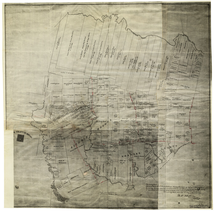

Print $20.00
- Digital $50.00
Refugio County Rolled Sketch 6
1892
Size 28.7 x 29.2 inches
Map/Doc 7507
Colorado River, Taiton Sheet
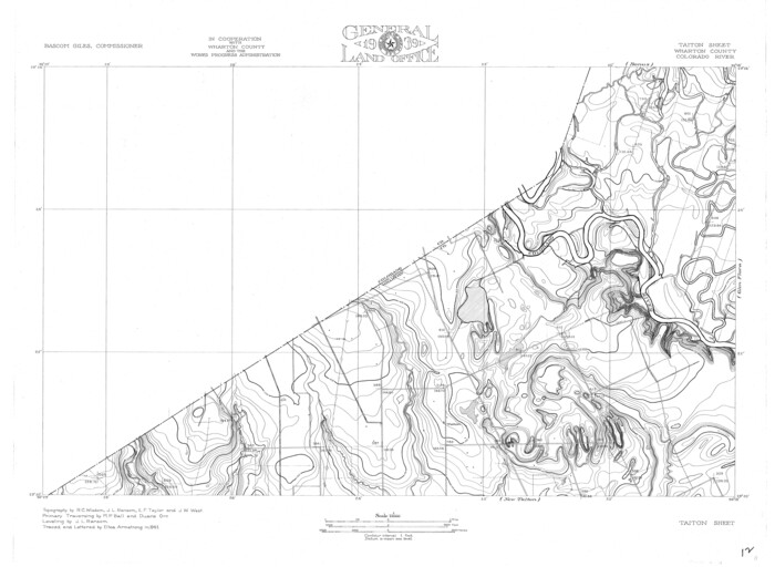

Print $6.00
- Digital $50.00
Colorado River, Taiton Sheet
1941
Size 24.4 x 32.8 inches
Map/Doc 65311
Lynn County Rolled Sketch A


Print $20.00
- Digital $50.00
Lynn County Rolled Sketch A
1901
Size 33.5 x 34.2 inches
Map/Doc 9471
Culberson County Working Sketch 63


Print $20.00
- Digital $50.00
Culberson County Working Sketch 63
1975
Size 34.1 x 24.9 inches
Map/Doc 68517
Hansford County Sketch File 13
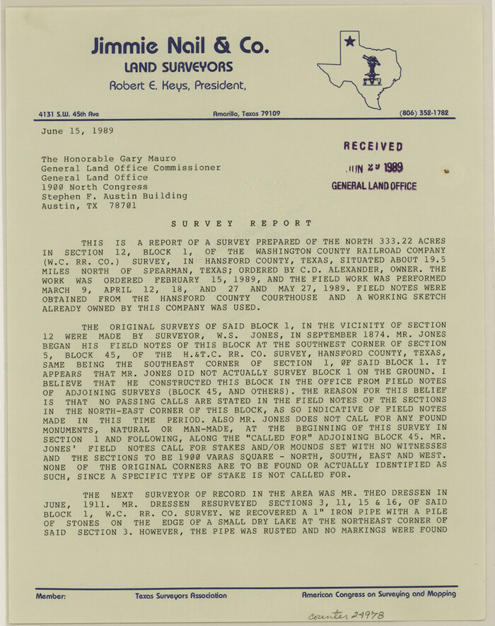

Print $12.00
- Digital $50.00
Hansford County Sketch File 13
1989
Size 11.2 x 8.8 inches
Map/Doc 24978
Travis County State Real Property Sketch 16
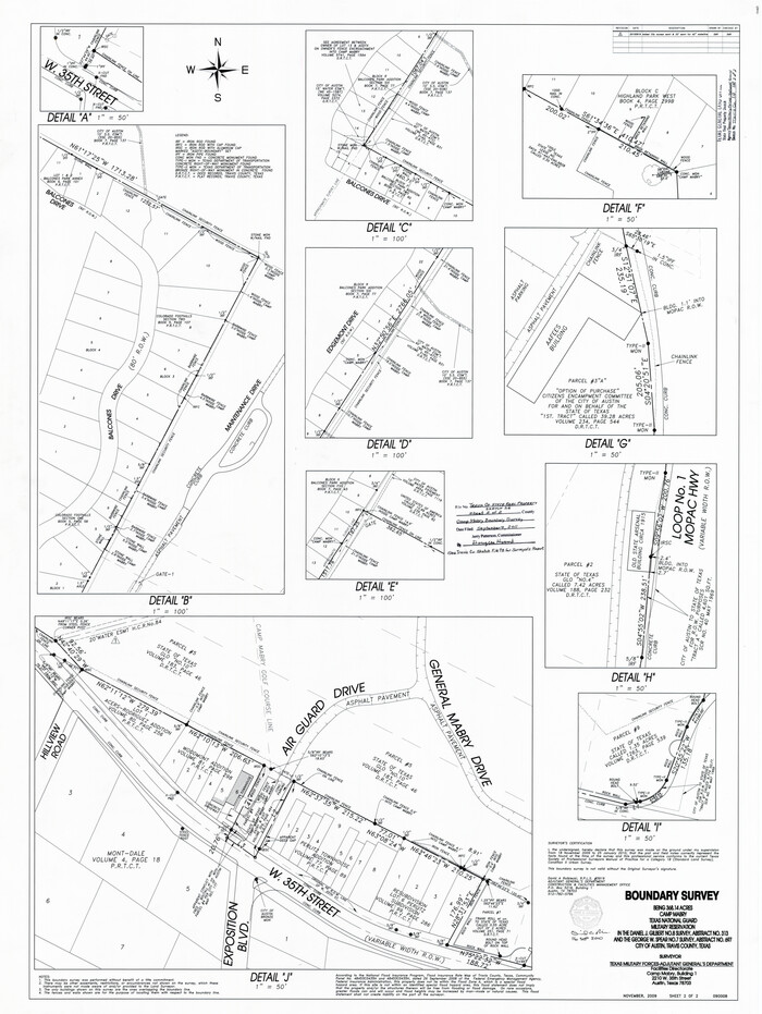

Print $20.00
- Digital $50.00
Travis County State Real Property Sketch 16
2009
Size 47.8 x 36.0 inches
Map/Doc 90087
Goliad County Working Sketch 14
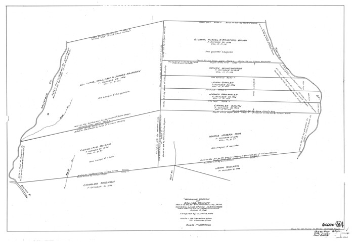

Print $20.00
- Digital $50.00
Goliad County Working Sketch 14
1946
Size 29.5 x 42.8 inches
Map/Doc 63204
Swisher County Sketch File 8


Print $20.00
- Digital $50.00
Swisher County Sketch File 8
1907
Size 19.2 x 16.3 inches
Map/Doc 12405
Borden County Sketch File 7
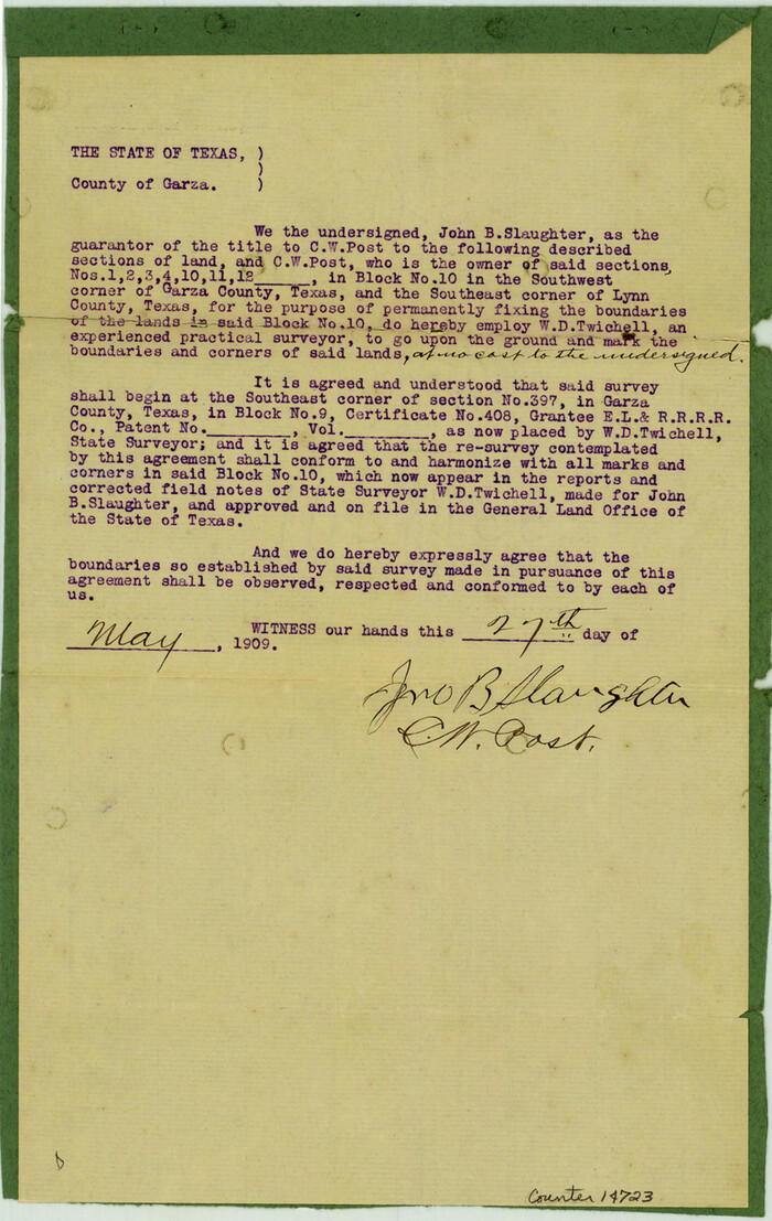

Print $8.00
- Digital $50.00
Borden County Sketch File 7
1909
Size 13.3 x 8.4 inches
Map/Doc 14723
[Map of Nacogdoches County]
![10784, [Map of Nacogdoches County], General Map Collection](https://historictexasmaps.com/wmedia_w700/maps/10784-1.tif.jpg)
![10784, [Map of Nacogdoches County], General Map Collection](https://historictexasmaps.com/wmedia_w700/maps/10784-1.tif.jpg)
Print $40.00
- Digital $50.00
[Map of Nacogdoches County]
1840
Size 79.3 x 69.8 inches
Map/Doc 10784
Houston County Sketch File 34


Print $6.00
- Digital $50.00
Houston County Sketch File 34
1914
Size 13.3 x 11.0 inches
Map/Doc 26811
You may also like
Hutchinson County


Print $20.00
- Digital $50.00
Hutchinson County
1922
Size 14.6 x 17.6 inches
Map/Doc 91183
San Patricio County NRC Article 33.136 Sketch 10
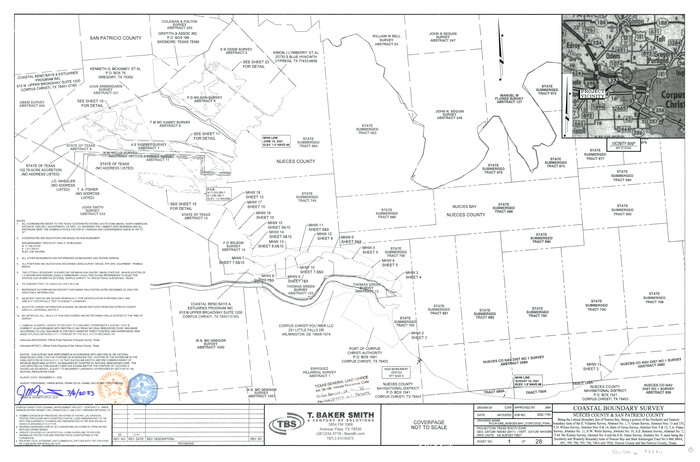

Print $692.00
San Patricio County NRC Article 33.136 Sketch 10
2023
Map/Doc 97294
Newton County Sketch File 9
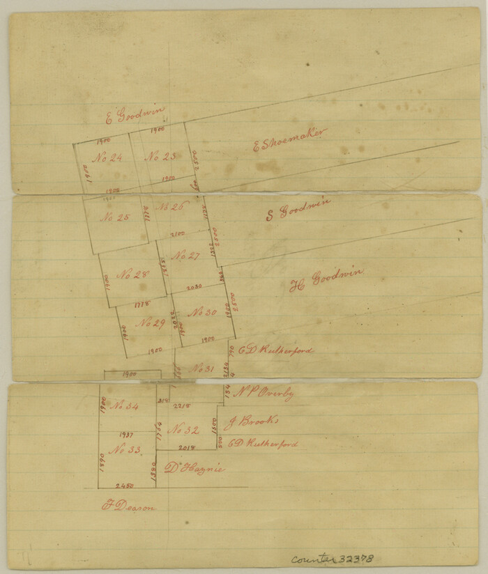

Print $4.00
- Digital $50.00
Newton County Sketch File 9
Size 9.8 x 8.3 inches
Map/Doc 32378
Kleberg County Rolled Sketch 10-34


Print $20.00
- Digital $50.00
Kleberg County Rolled Sketch 10-34
1952
Size 38.2 x 32.3 inches
Map/Doc 9384
Coleman County Rolled Sketch 2
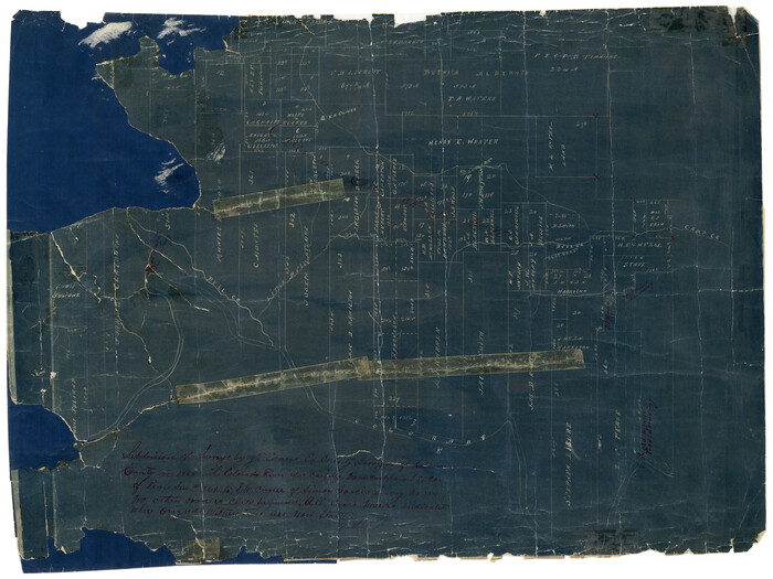

Print $20.00
- Digital $50.00
Coleman County Rolled Sketch 2
Size 18.3 x 24.9 inches
Map/Doc 5528
Smith County Rolled Sketch 6D2


Print $2.00
- Digital $50.00
Smith County Rolled Sketch 6D2
Size 11.3 x 8.9 inches
Map/Doc 76014
Potter County Working Sketch 2
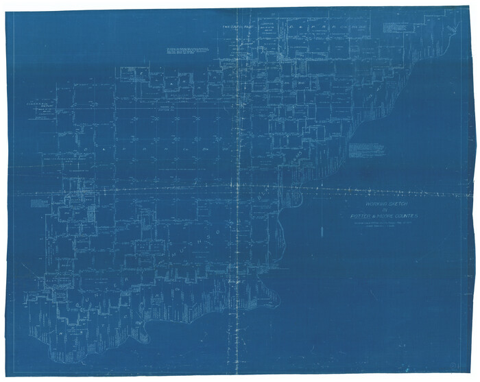

Print $40.00
- Digital $50.00
Potter County Working Sketch 2
1919
Size 43.3 x 54.4 inches
Map/Doc 71662
Hudspeth County Sketch File 43
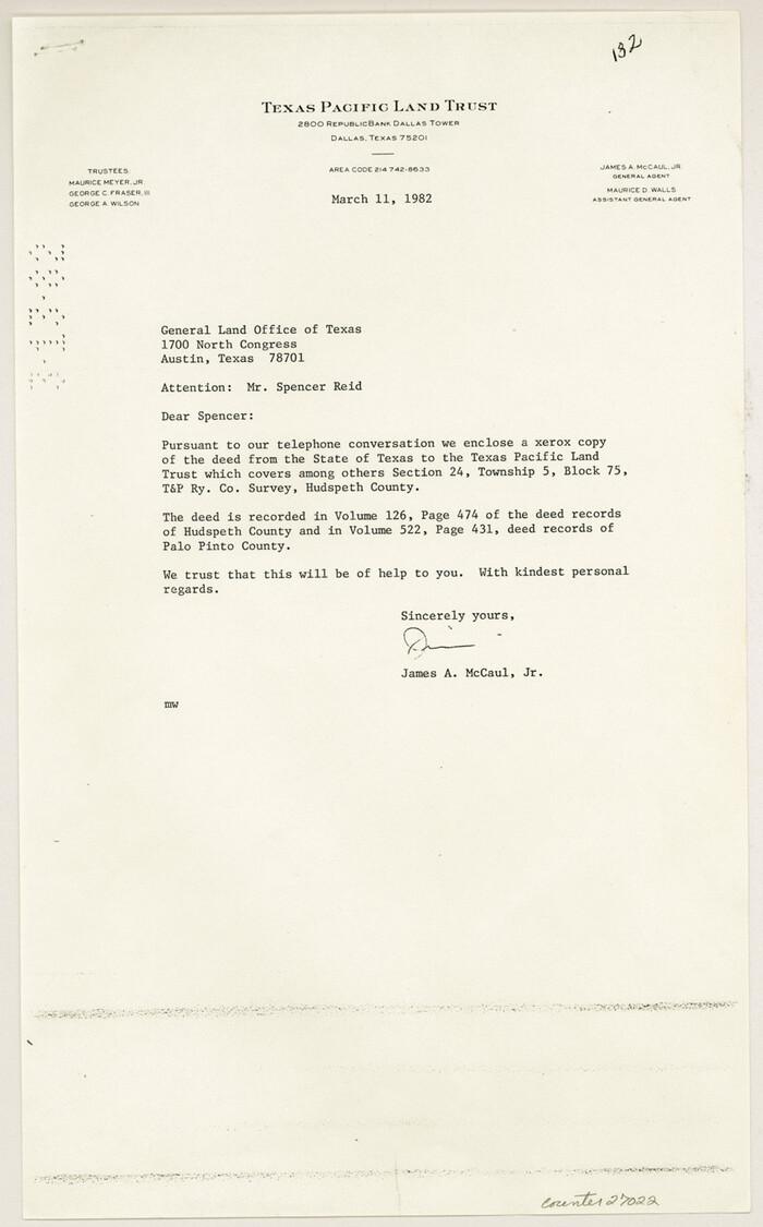

Print $10.00
- Digital $50.00
Hudspeth County Sketch File 43
1982
Size 14.3 x 8.9 inches
Map/Doc 27022
Van Zandt County Sketch File 9
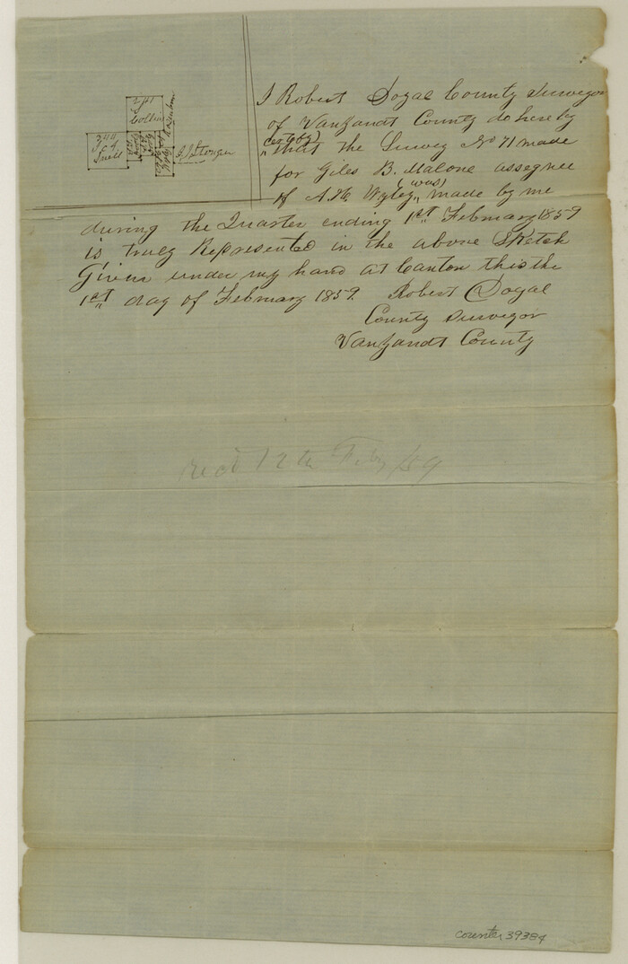

Print $18.00
- Digital $50.00
Van Zandt County Sketch File 9
1859
Size 12.9 x 8.4 inches
Map/Doc 39384
Palo Pinto County Working Sketch 16
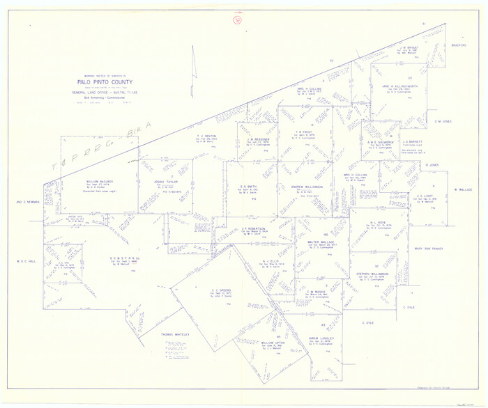

Print $20.00
- Digital $50.00
Palo Pinto County Working Sketch 16
1974
Size 35.5 x 42.4 inches
Map/Doc 71399
Garza County Working Sketch 5


Print $20.00
- Digital $50.00
Garza County Working Sketch 5
1943
Size 19.4 x 34.7 inches
Map/Doc 63152
Jeff Davis Co.


Print $20.00
- Digital $50.00
Jeff Davis Co.
1915
Size 26.0 x 28.0 inches
Map/Doc 92174
