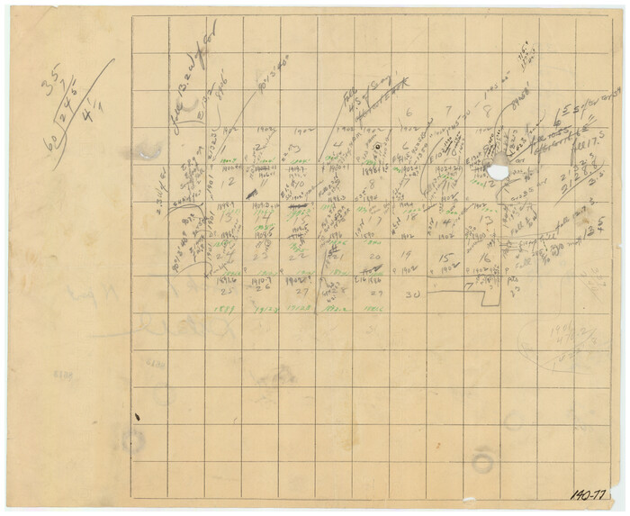
[West half of county, south of John H. Stephens Block S2]
Print $2.00
- Digital $50.00
[West half of county, south of John H. Stephens Block S2]
Size: 11.8 x 8.7 inches
90976
[West half of county, south of John H. Stephens Block S2]

Print $2.00
- Digital $50.00
[West half of county, south of John H. Stephens Block S2]
1912
Size: 8.6 x 5.9 inches
92976
[West Part of Labor 18]
Print $20.00
- Digital $50.00
[West Part of Labor 18]
Size: 18.9 x 19.4 inches
91006
[West Part of Claude E. Halsell's Survey Section 6 Block A7]
Print $2.00
- Digital $50.00
[West Part of Claude E. Halsell's Survey Section 6 Block A7]
Size: 9.2 x 14.7 inches
91063
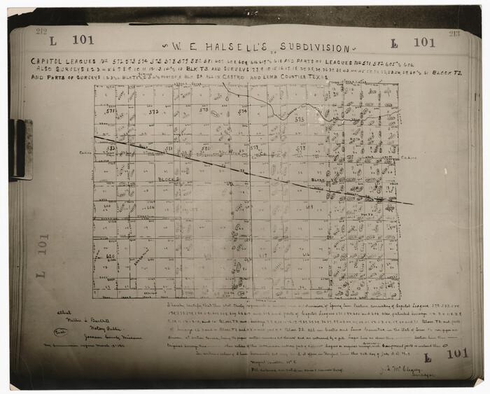
[W. E. Halsell's Subdivision of Capitol Leagues, Blocks T1,T2, T3, and S2]
Print $20.00
- Digital $50.00
[W. E. Halsell's Subdivision of Capitol Leagues, Blocks T1,T2, T3, and S2]
1907
Size: 20.5 x 16.5 inches
92164
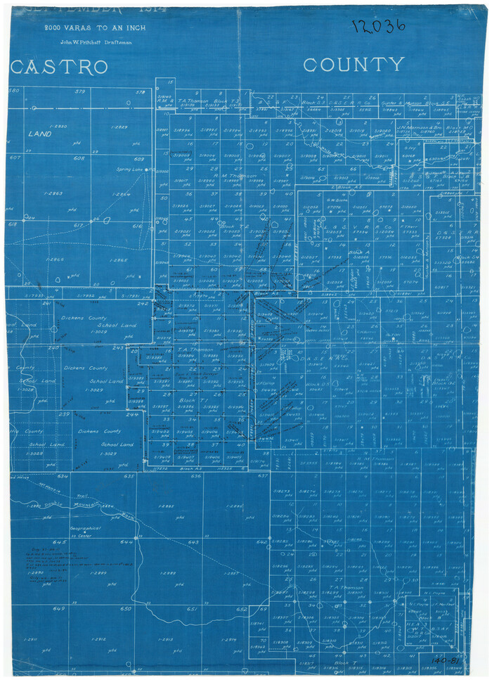
[Texas State Capitol Land]
Print $40.00
- Digital $50.00
[Texas State Capitol Land]
Size: 37.6 x 72.6 inches
89940
[Texas State Capitol Land Leagues and Surrounding Blocks]
Print $20.00
- Digital $50.00
[Texas State Capitol Land Leagues and Surrounding Blocks]
Size: 30.2 x 33.6 inches
91055
[T. A. Thomson Block T, R. M. Thomson Block 1]
Print $20.00
- Digital $50.00
[T. A. Thomson Block T, R. M. Thomson Block 1]
Size: 12.3 x 17.5 inches
90968
[T. A. Thomson Block T, R. M. Thomson Block 1, and Block B]
Print $20.00
- Digital $50.00
[T. A. Thomson Block T, R. M. Thomson Block 1, and Block B]
Size: 17.3 x 20.4 inches
91054
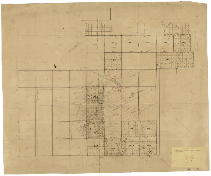
[Subdivision plat of Crockett County School Land Leagues 214-217 and adjacent leagues]
Print $20.00
- Digital $50.00
[Subdivision plat of Crockett County School Land Leagues 214-217 and adjacent leagues]
Size: 26.8 x 18.8 inches
90245
[Subdivision plat of Crockett County School Land Leagues 214-217 and adjacent leagues]
Print $20.00
- Digital $50.00
[Subdivision plat of Crockett County School Land Leagues 214-217 and adjacent leagues]
Size: 26.9 x 19.0 inches
90253
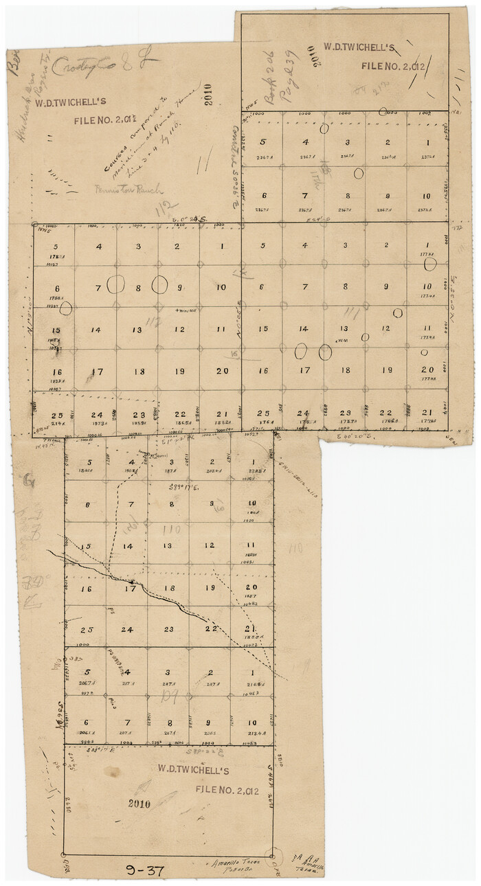
[Subdivision of Lgs. 109-112, Crosby County School Land]
Print $20.00
- Digital $50.00
[Subdivision of Lgs. 109-112, Crosby County School Land]
Size: 11.8 x 21.3 inches
90154
[Spade and Ellwood Lands in Lubbock and Hale Counties]
Print $20.00
- Digital $50.00
[Spade and Ellwood Lands in Lubbock and Hale Counties]
Size: 18.0 x 17.8 inches
91072
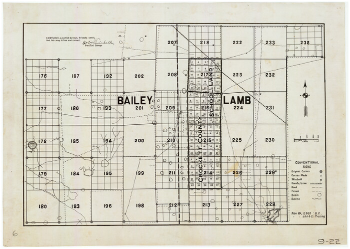
[South part of Bailey County showing School Leagues]
Print $2.00
- Digital $50.00
[South part of Bailey County showing School Leagues]
1914
Size: 5.9 x 7.6 inches
92991
[South part of Bailey County showing School Leagues]
Print $2.00
- Digital $50.00
[South part of Bailey County showing School Leagues]
1913
Size: 12.1 x 8.1 inches
92992
[Sketch showing the Northwest part of Hale County and the Northeast part of Lamb County]
Print $40.00
- Digital $50.00
[Sketch showing the Northwest part of Hale County and the Northeast part of Lamb County]
Size: 55.1 x 57.3 inches
93204
[Sketch showing the Northwest part of Hale County and the Northeast part of Lamb County]
Print $40.00
- Digital $50.00
[Sketch showing the Northwest part of Hale County and the Northeast part of Lamb County]
Size: 55.3 x 56.7 inches
93205
[Sketch showing Capitol Lands]
Print $40.00
- Digital $50.00
[Sketch showing Capitol Lands]
Size: 38.3 x 72.0 inches
89725
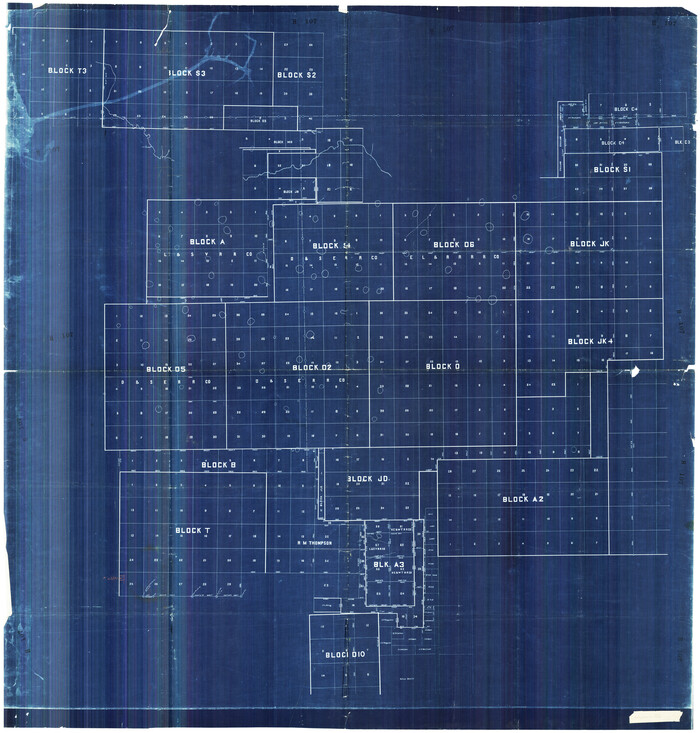
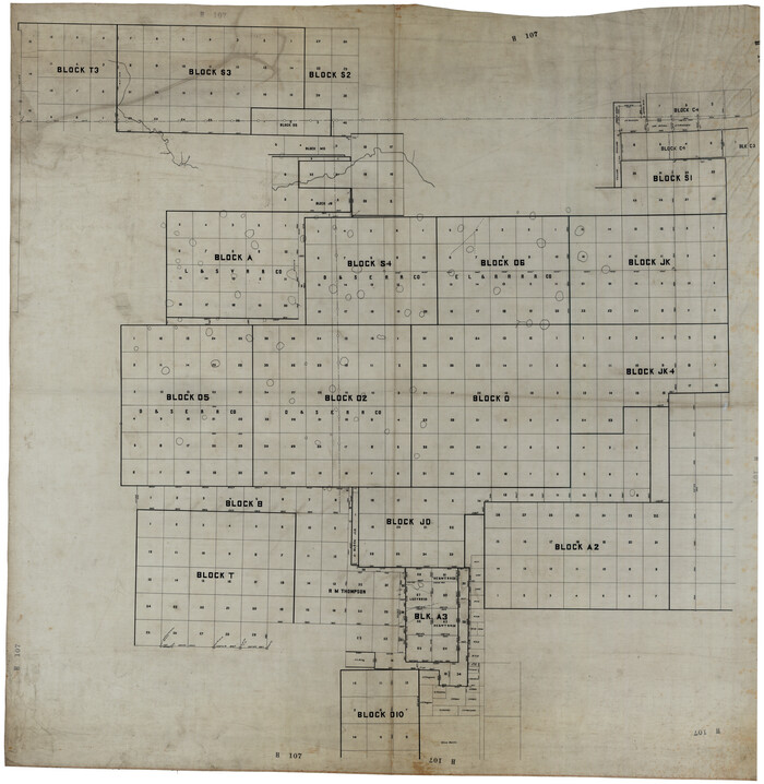
[Sketch showing Blocks A, S4, O6, JK, O5, O2, O, JK4, JD, A2, A1]
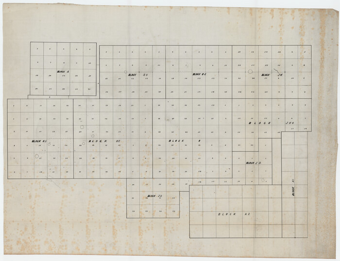
Print $40.00
- Digital $50.00
[Sketch showing Blocks A, S4, O6, JK, O5, O2, O, JK4, JD, A2, A1]
Size: 48.9 x 37.6 inches
89713
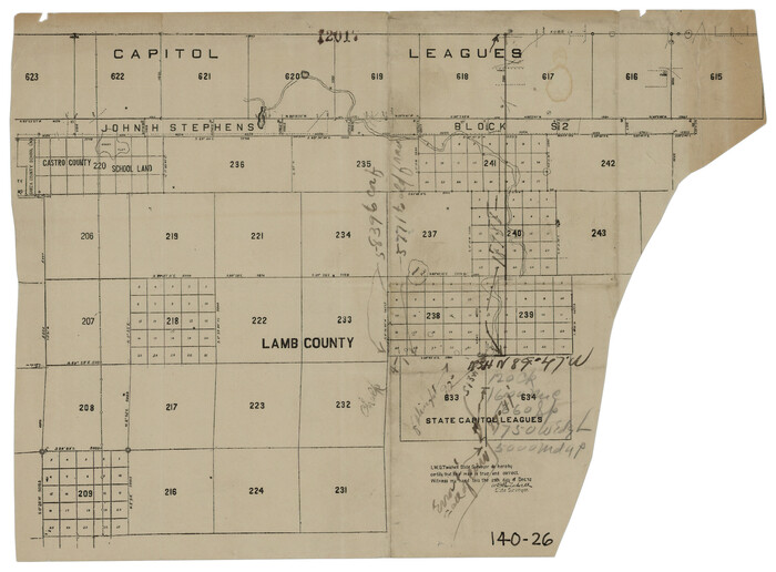
[Sketch of State Capitol Leagues 615-621, 623-627, 177-209 in Lamb and Bailey Counties]
Print $40.00
- Digital $50.00
[Sketch of State Capitol Leagues 615-621, 623-627, 177-209 in Lamb and Bailey Counties]
1912
Size: 71.2 x 31.5 inches
89744
[Sketch Showing South part of Capitol Lands]
Print $20.00
- Digital $50.00
[Sketch Showing South part of Capitol Lands]
Size: 47.3 x 17.7 inches
93086
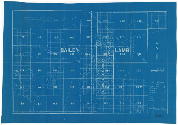
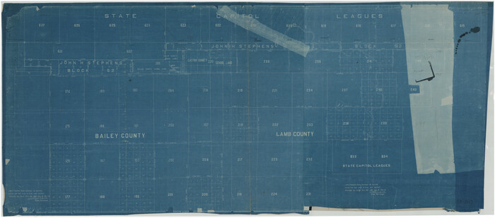
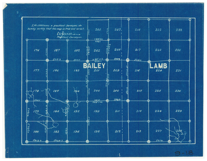
[School Leagues in Bailey and Lamb County]
Print $20.00
- Digital $50.00
[School Leagues in Bailey and Lamb County]
Size: 30.5 x 25.2 inches
90987
[School Land Leagues in east part of Bailey County/west part of Lamb County]
Print $2.00
- Digital $50.00
[School Land Leagues in east part of Bailey County/west part of Lamb County]
Size: 11.8 x 8.9 inches
90256
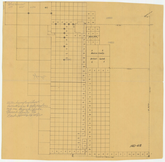
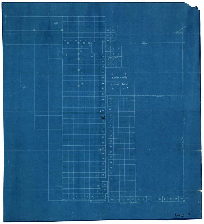
[Sabine County School Land and vicinity]
Print $20.00
- Digital $50.00
[Sabine County School Land and vicinity]
Size: 18.1 x 19.9 inches
90981
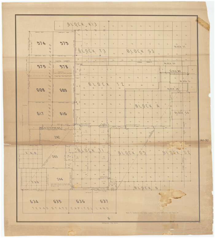
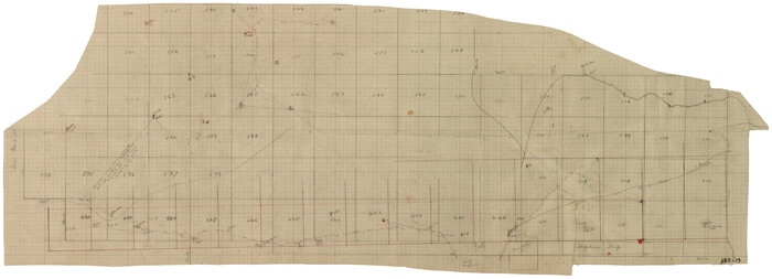
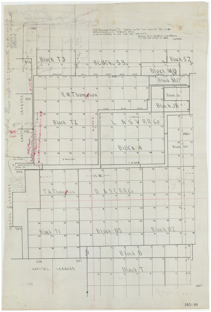
[R. M. Thompson Block T2 and John H. Stephens Block S2 Conflict]
Print $20.00
- Digital $50.00
[R. M. Thompson Block T2 and John H. Stephens Block S2 Conflict]
Size: 20.9 x 30.6 inches
91056
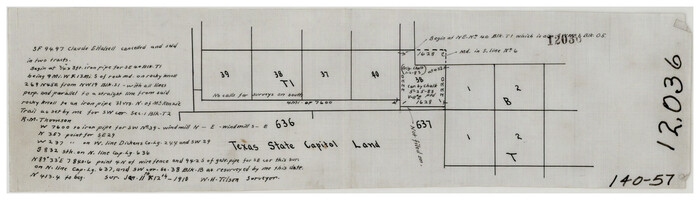
[Portions of Blocks T1, B, and T]
Print $2.00
- Digital $50.00
[Portions of Blocks T1, B, and T]
1910
Size: 13.8 x 4.3 inches
90950
[Pecos and Northern Texas Ry., Bailey Co., from Parmer Co. line through Lariat and Muleshoe to Lamb Co. line]
Print $40.00
- Digital $50.00
[Pecos and Northern Texas Ry., Bailey Co., from Parmer Co. line through Lariat and Muleshoe to Lamb Co. line]
1912
Size: 18.8 x 67.7 inches
64637
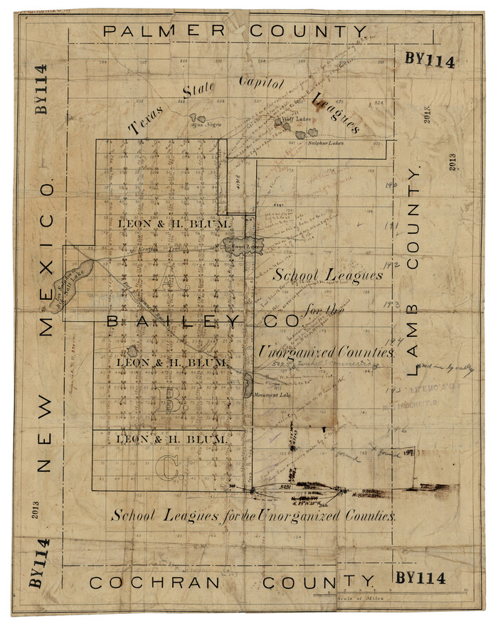
[Palmer, Bailey, Lamb, and Cochran Counties]
Print $20.00
- Digital $50.00
[Palmer, Bailey, Lamb, and Cochran Counties]
Size: 15.3 x 19.3 inches
92474
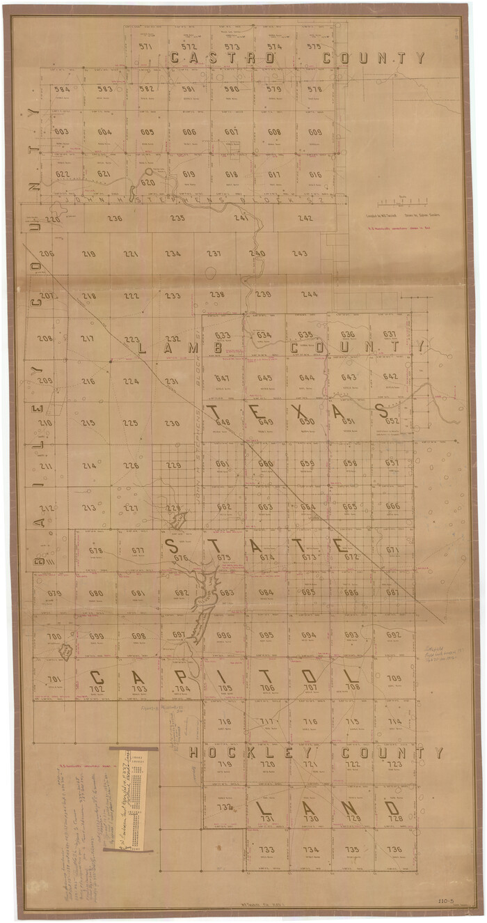
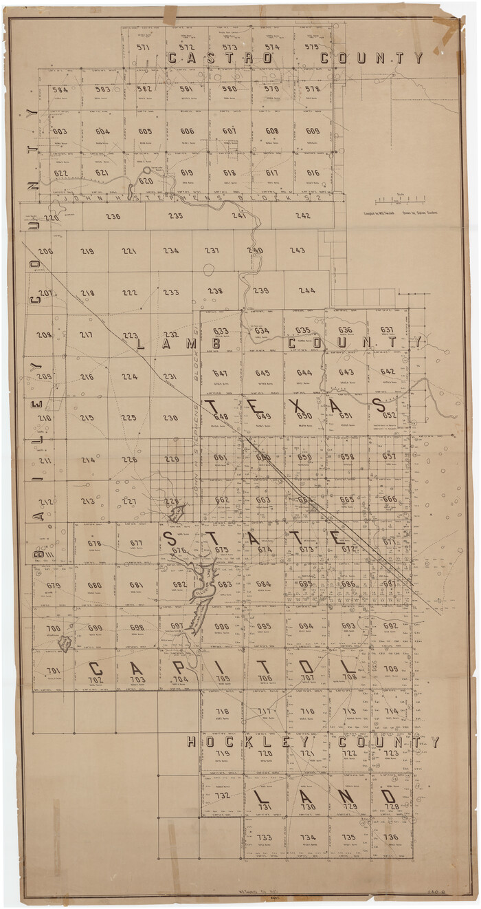
[Northwest Quarter of County]
Print $20.00
- Digital $50.00
[Northwest Quarter of County]
1914
Size: 18.6 x 25.7 inches
91077
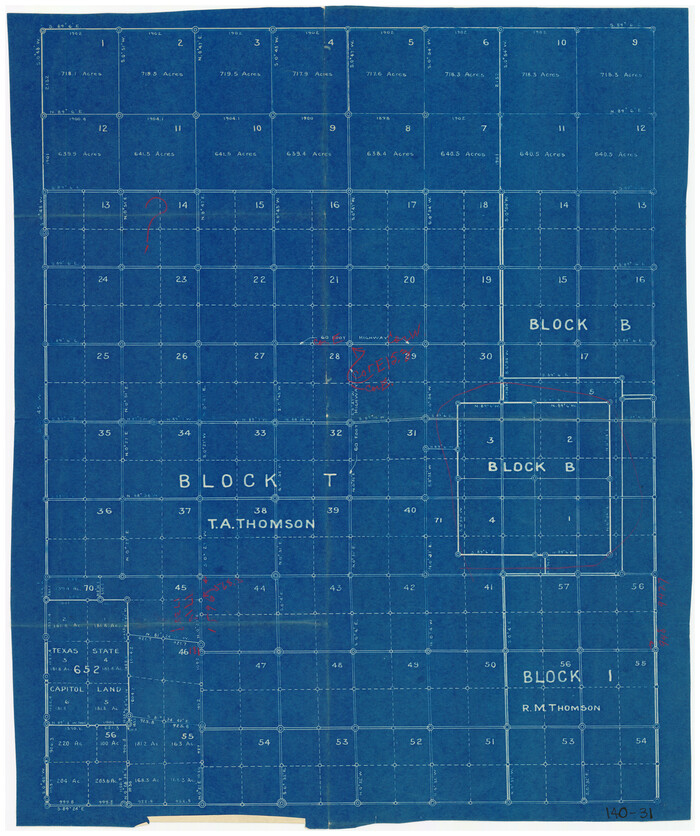
[North Part of T. A. Thomson, Block T]
Print $20.00
- Digital $50.00
[North Part of T. A. Thomson, Block T]
Size: 17.6 x 14.3 inches
91075
[West half of county, south of John H. Stephens Block S2]
Print $2.00
- Digital $50.00
[West half of county, south of John H. Stephens Block S2]
-
Size
11.8 x 8.7 inches
-
Map/Doc
90976
[West half of county, south of John H. Stephens Block S2]
Print $2.00
- Digital $50.00
[West half of county, south of John H. Stephens Block S2]
1912
-
Size
8.6 x 5.9 inches
-
Map/Doc
92976
-
Creation Date
1912
[West Part of Labor 18]
Print $20.00
- Digital $50.00
[West Part of Labor 18]
-
Size
18.9 x 19.4 inches
-
Map/Doc
91006
[West Part of Claude E. Halsell's Survey Section 6 Block A7]
Print $2.00
- Digital $50.00
[West Part of Claude E. Halsell's Survey Section 6 Block A7]
-
Size
9.2 x 14.7 inches
-
Map/Doc
91063
[W. E. Halsell's Subdivision of Capitol Leagues, Blocks T1,T2, T3, and S2]
Print $20.00
- Digital $50.00
[W. E. Halsell's Subdivision of Capitol Leagues, Blocks T1,T2, T3, and S2]
1907
-
Size
20.5 x 16.5 inches
-
Map/Doc
92164
-
Creation Date
1907
[Texas State Capitol Land]
Print $40.00
- Digital $50.00
[Texas State Capitol Land]
-
Size
37.6 x 72.6 inches
-
Map/Doc
89940
[Texas State Capitol Land Leagues and Surrounding Blocks]
Print $20.00
- Digital $50.00
[Texas State Capitol Land Leagues and Surrounding Blocks]
-
Size
30.2 x 33.6 inches
-
Map/Doc
91055
[T. A. Thomson Block T, R. M. Thomson Block 1]
Print $20.00
- Digital $50.00
[T. A. Thomson Block T, R. M. Thomson Block 1]
-
Size
12.3 x 17.5 inches
-
Map/Doc
90968
[T. A. Thomson Block T, R. M. Thomson Block 1, and Block B]
Print $20.00
- Digital $50.00
[T. A. Thomson Block T, R. M. Thomson Block 1, and Block B]
-
Size
17.3 x 20.4 inches
-
Map/Doc
91054
[Subdivision plat of Crockett County School Land Leagues 214-217 and adjacent leagues]
Print $20.00
- Digital $50.00
[Subdivision plat of Crockett County School Land Leagues 214-217 and adjacent leagues]
-
Size
26.8 x 18.8 inches
-
Map/Doc
90245
[Subdivision plat of Crockett County School Land Leagues 214-217 and adjacent leagues]
Print $20.00
- Digital $50.00
[Subdivision plat of Crockett County School Land Leagues 214-217 and adjacent leagues]
-
Size
26.9 x 19.0 inches
-
Map/Doc
90253
[Subdivision of Lgs. 109-112, Crosby County School Land]
Print $20.00
- Digital $50.00
[Subdivision of Lgs. 109-112, Crosby County School Land]
-
Size
11.8 x 21.3 inches
-
Map/Doc
90154
[Spade and Ellwood Lands in Lubbock and Hale Counties]
Print $20.00
- Digital $50.00
[Spade and Ellwood Lands in Lubbock and Hale Counties]
-
Size
18.0 x 17.8 inches
-
Map/Doc
91072
[South part of Bailey County showing School Leagues]
Print $2.00
- Digital $50.00
[South part of Bailey County showing School Leagues]
1914
-
Size
5.9 x 7.6 inches
-
Map/Doc
92991
-
Creation Date
1914
[South part of Bailey County showing School Leagues]
Print $2.00
- Digital $50.00
[South part of Bailey County showing School Leagues]
1913
-
Size
12.1 x 8.1 inches
-
Map/Doc
92992
-
Creation Date
1913
[Sketch showing the Northwest part of Hale County and the Northeast part of Lamb County]
Print $40.00
- Digital $50.00
[Sketch showing the Northwest part of Hale County and the Northeast part of Lamb County]
-
Size
55.1 x 57.3 inches
-
Map/Doc
93204
[Sketch showing the Northwest part of Hale County and the Northeast part of Lamb County]
Print $40.00
- Digital $50.00
[Sketch showing the Northwest part of Hale County and the Northeast part of Lamb County]
-
Size
55.3 x 56.7 inches
-
Map/Doc
93205
[Sketch showing Capitol Lands]
Print $40.00
- Digital $50.00
[Sketch showing Capitol Lands]
-
Size
38.3 x 72.0 inches
-
Map/Doc
89725
[Sketch showing Blocks A, S4, O6, JK, O5, O2, O, JK4, JD, A2, A1]
Print $40.00
- Digital $50.00
[Sketch showing Blocks A, S4, O6, JK, O5, O2, O, JK4, JD, A2, A1]
-
Size
48.9 x 37.6 inches
-
Map/Doc
89713
[Sketch of State Capitol Leagues 615-621, 623-627, 177-209 in Lamb and Bailey Counties]
Print $40.00
- Digital $50.00
[Sketch of State Capitol Leagues 615-621, 623-627, 177-209 in Lamb and Bailey Counties]
1912
-
Size
71.2 x 31.5 inches
-
Map/Doc
89744
-
Creation Date
1912
[Sketch Showing South part of Capitol Lands]
Print $20.00
- Digital $50.00
[Sketch Showing South part of Capitol Lands]
-
Size
47.3 x 17.7 inches
-
Map/Doc
93086
[School Leagues in Bailey and Lamb County]
Print $20.00
- Digital $50.00
[School Leagues in Bailey and Lamb County]
-
Size
30.5 x 25.2 inches
-
Map/Doc
90987
[School Land Leagues in east part of Bailey County/west part of Lamb County]
Print $2.00
- Digital $50.00
[School Land Leagues in east part of Bailey County/west part of Lamb County]
-
Size
11.8 x 8.9 inches
-
Map/Doc
90256
[Sabine County School Land and vicinity]
Print $20.00
- Digital $50.00
[Sabine County School Land and vicinity]
-
Size
18.1 x 19.9 inches
-
Map/Doc
90981
[R. M. Thompson Block T2 and John H. Stephens Block S2 Conflict]
Print $20.00
- Digital $50.00
[R. M. Thompson Block T2 and John H. Stephens Block S2 Conflict]
-
Size
20.9 x 30.6 inches
-
Map/Doc
91056
[Portions of Blocks T1, B, and T]
Print $2.00
- Digital $50.00
[Portions of Blocks T1, B, and T]
1910
-
Size
13.8 x 4.3 inches
-
Map/Doc
90950
-
Creation Date
1910
[Pecos and Northern Texas Ry., Bailey Co., from Parmer Co. line through Lariat and Muleshoe to Lamb Co. line]
Print $40.00
- Digital $50.00
[Pecos and Northern Texas Ry., Bailey Co., from Parmer Co. line through Lariat and Muleshoe to Lamb Co. line]
1912
-
Size
18.8 x 67.7 inches
-
Map/Doc
64637
-
Creation Date
1912
[Palmer, Bailey, Lamb, and Cochran Counties]
Print $20.00
- Digital $50.00
[Palmer, Bailey, Lamb, and Cochran Counties]
-
Size
15.3 x 19.3 inches
-
Map/Doc
92474
[Northwest Quarter of County]
Print $20.00
- Digital $50.00
[Northwest Quarter of County]
1914
-
Size
18.6 x 25.7 inches
-
Map/Doc
91077
-
Creation Date
1914
[North Part of T. A. Thomson, Block T]
Print $20.00
- Digital $50.00
[North Part of T. A. Thomson, Block T]
-
Size
17.6 x 14.3 inches
-
Map/Doc
91075