
Midland County Rolled Sketch 14
1996
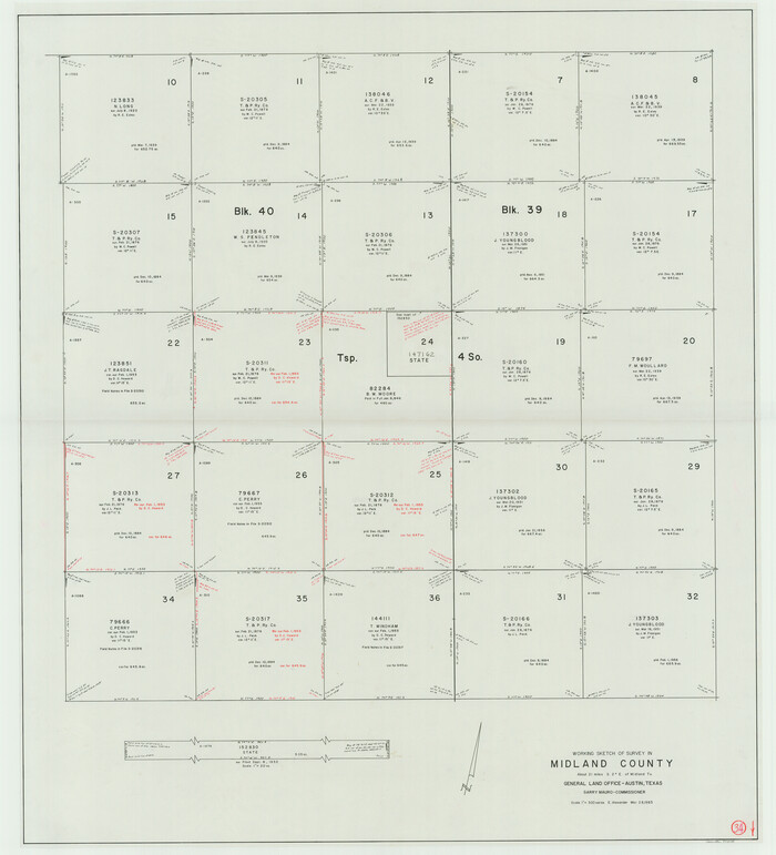
Midland County Working Sketch 34
1983

Midland County Working Sketch 33
1982

Martin County Working Sketch 17
1981
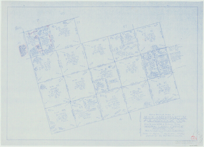
Martin County Working Sketch 16
1979

Upton County Working Sketch 47
1973

Midland County Working Sketch 32
1971
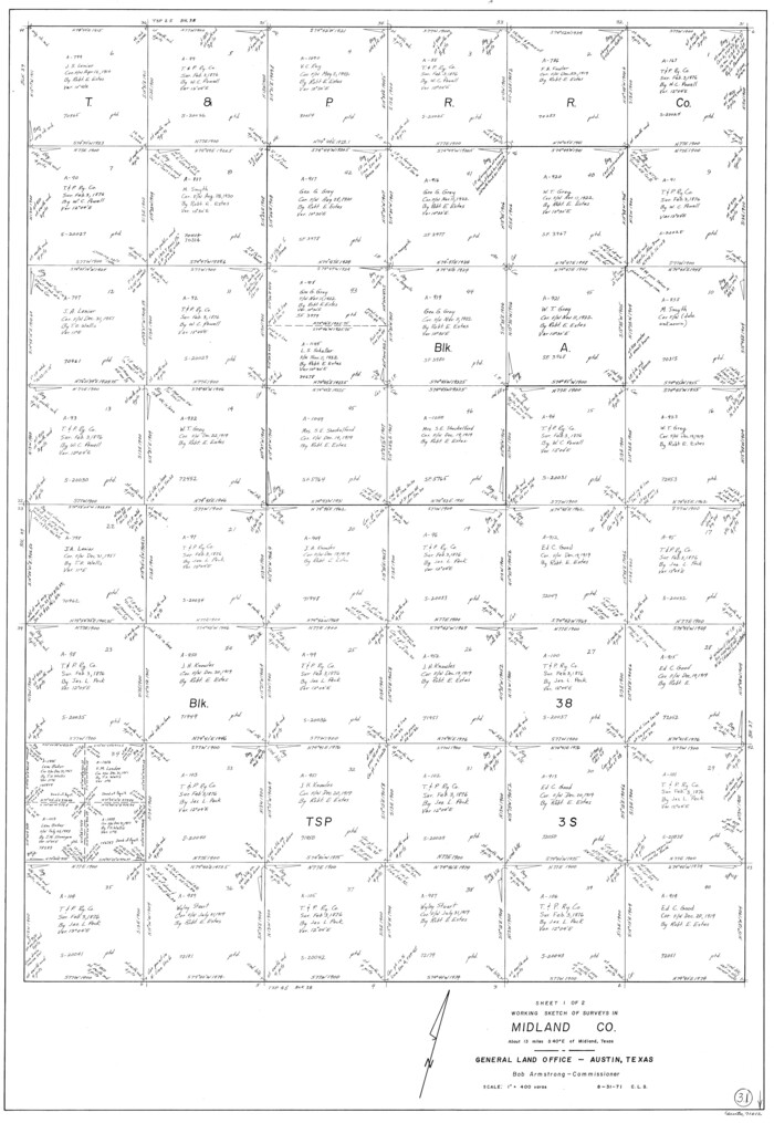
Midland County Working Sketch 31
1971
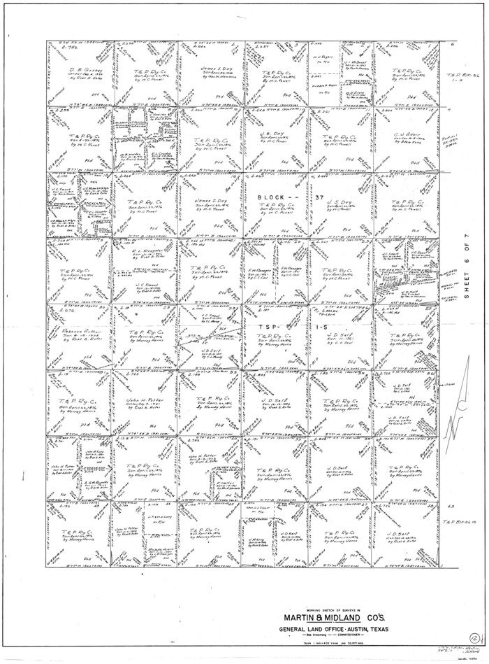
Martin County Working Sketch 12
1971
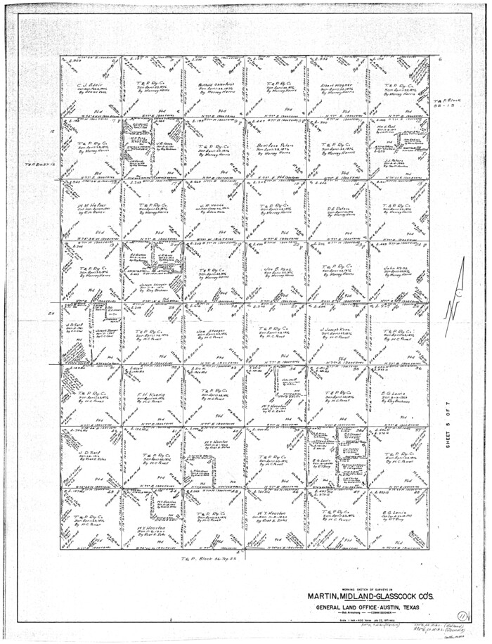
Martin County Working Sketch 11
1971
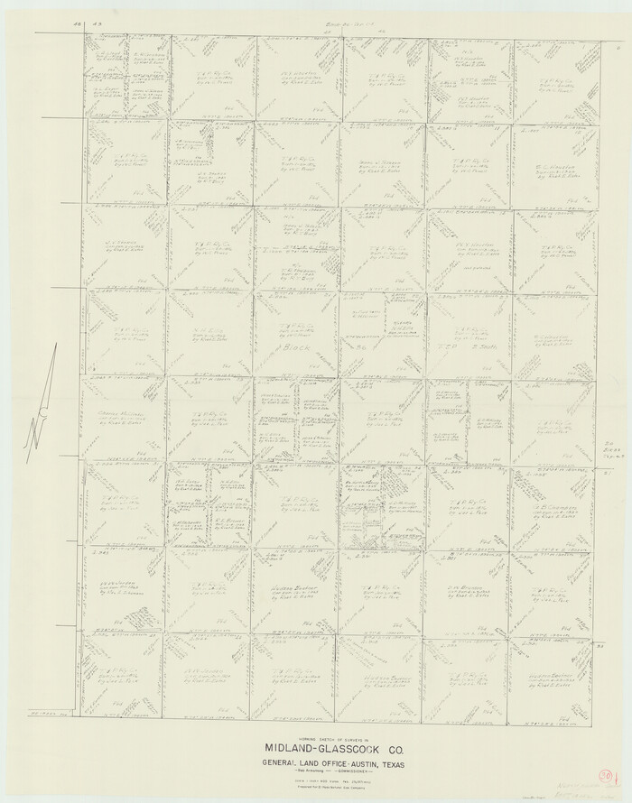
Midland County Working Sketch 30
1971

Midland County Working Sketch 29
1971
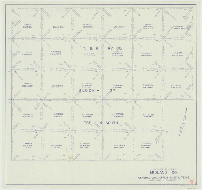
Midland County Working Sketch 28
1968
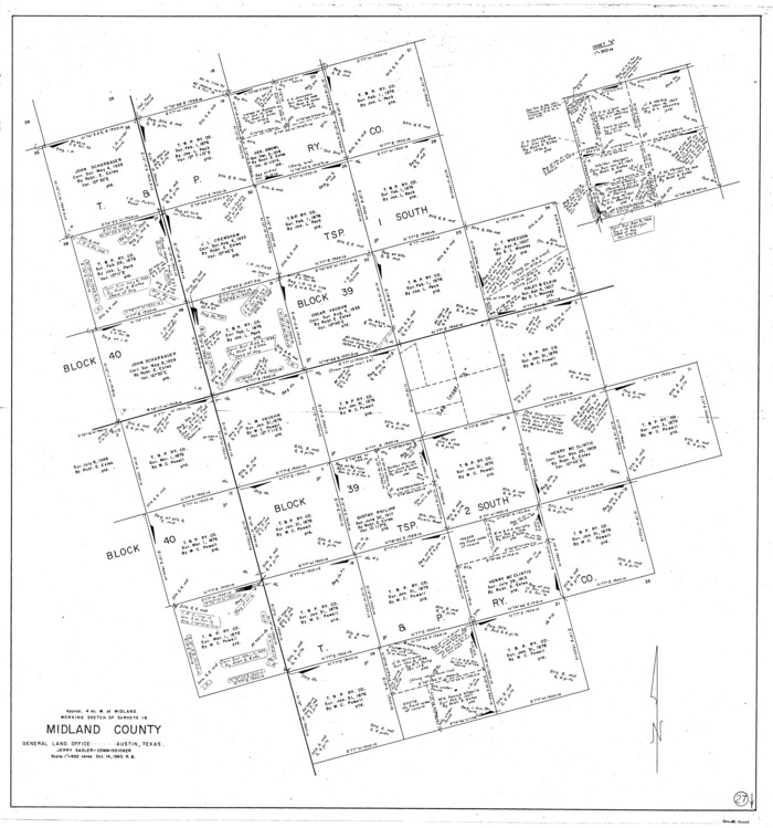
Midland County Working Sketch 27
1963
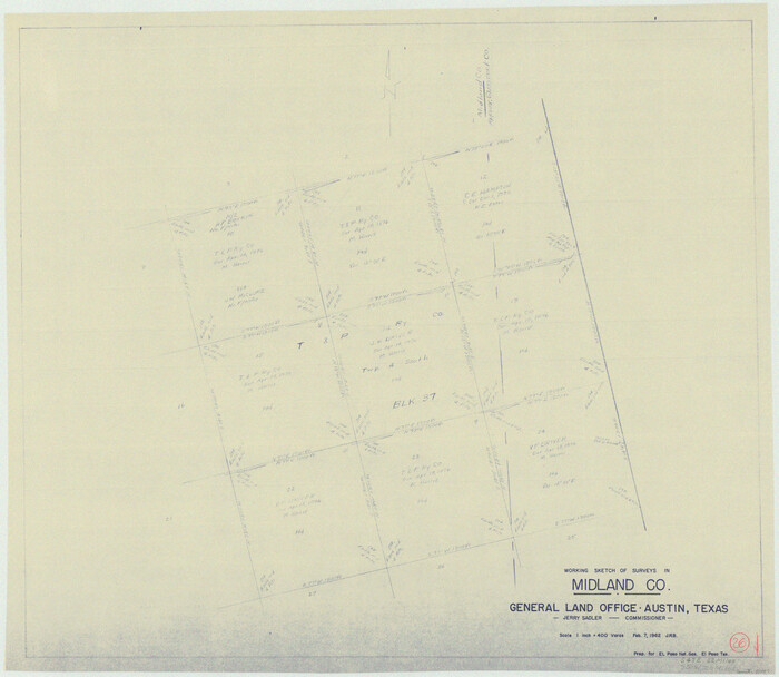
Midland County Working Sketch 26
1962

Ector County Working Sketch 25
1961

General Highway Map, Midland County, Texas
1961

Midland County Working Sketch 25
1957

Ector County Rolled Sketch 13
1957

Midland County Working Sketch 24
1957
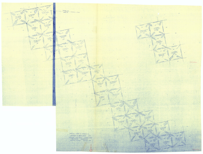
Upton County Working Sketch 36
1957

Midland County Working Sketch 23
1956

Ector County Working Sketch 16
1956
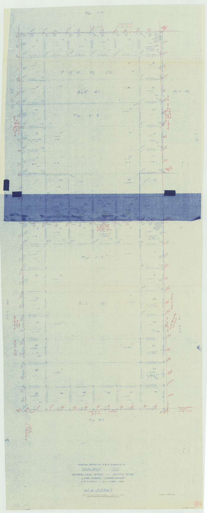
Midland County Working Sketch 21
1956

Midland County Working Sketch 18
1956
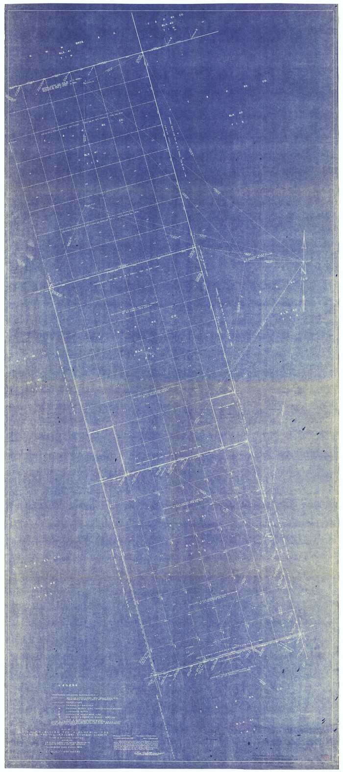
Midland County Working Sketch 22
1956
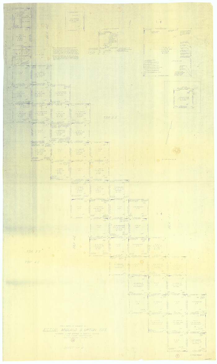
Ector County Working Sketch 14
1955
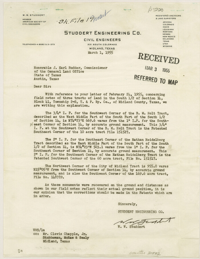
Midland County Sketch File 17
1955
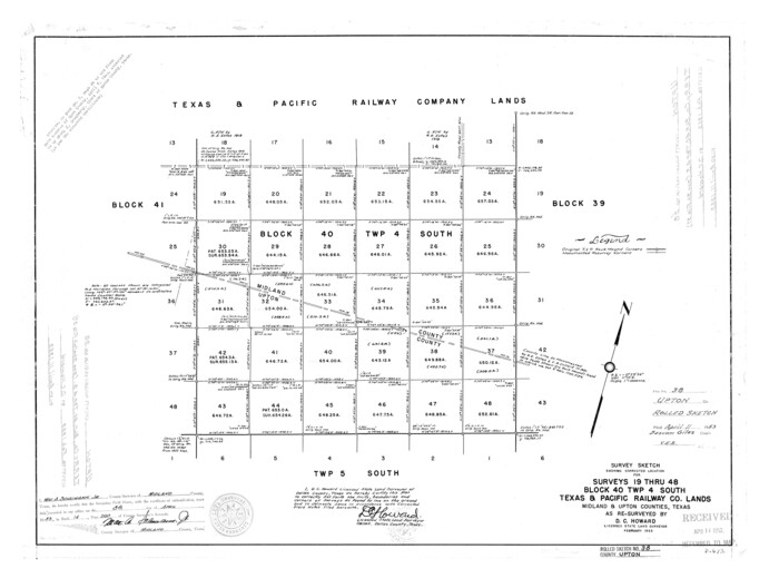
Upton County Rolled Sketch 38
1953

Midland County Working Sketch 20
1953

Midland County Rolled Sketch 14
1996
-
Size
21.3 x 26.7 inches
-
Map/Doc
6769
-
Creation Date
1996

Midland County Working Sketch 34
1983
-
Size
42.2 x 38.3 inches
-
Map/Doc
71015
-
Creation Date
1983

Midland County Working Sketch 33
1982
-
Size
38.2 x 36.2 inches
-
Map/Doc
71014
-
Creation Date
1982

Martin County Working Sketch 17
1981
-
Size
32.4 x 41.4 inches
-
Map/Doc
70835
-
Creation Date
1981

Martin County Working Sketch 16
1979
-
Size
26.6 x 36.8 inches
-
Map/Doc
70834
-
Creation Date
1979

Upton County Working Sketch 47
1973
-
Size
24.8 x 26.7 inches
-
Map/Doc
69543
-
Creation Date
1973

Midland County Working Sketch 32
1971
-
Size
51.3 x 35.5 inches
-
Map/Doc
71013
-
Creation Date
1971

Midland County Working Sketch 31
1971
-
Size
44.8 x 30.9 inches
-
Map/Doc
71012
-
Creation Date
1971

Martin County Working Sketch 12
1971
-
Size
48.2 x 35.6 inches
-
Map/Doc
70830
-
Creation Date
1971

Martin County Working Sketch 11
1971
-
Size
49.8 x 38.1 inches
-
Map/Doc
70829
-
Creation Date
1971

Midland County Working Sketch 30
1971
-
Size
45.1 x 35.4 inches
-
Map/Doc
71011
-
Creation Date
1971

Midland County Working Sketch 29
1971
-
Size
49.4 x 35.6 inches
-
Map/Doc
71010
-
Creation Date
1971

Midland County Working Sketch 28
1968
-
Size
29.7 x 31.7 inches
-
Map/Doc
71009
-
Creation Date
1968

Midland County Working Sketch 27
1963
-
Size
41.6 x 38.9 inches
-
Map/Doc
71008
-
Creation Date
1963

Midland County Working Sketch 26
1962
-
Size
24.8 x 28.6 inches
-
Map/Doc
71007
-
Creation Date
1962

Ector County Working Sketch 25
1961
-
Size
29.6 x 34.2 inches
-
Map/Doc
68868
-
Creation Date
1961

General Highway Map, Midland County, Texas
1961
-
Size
18.2 x 24.6 inches
-
Map/Doc
79596
-
Creation Date
1961

Midland County Working Sketch 25
1957
-
Size
58.3 x 49.1 inches
-
Map/Doc
71006
-
Creation Date
1957

Ector County Rolled Sketch 13
1957
-
Size
49.2 x 32.0 inches
-
Map/Doc
8841
-
Creation Date
1957

Midland County Working Sketch 24
1957
-
Size
42.9 x 80.9 inches
-
Map/Doc
71005
-
Creation Date
1957

Upton County Working Sketch 36
1957
-
Size
43.5 x 57.3 inches
-
Map/Doc
69532
-
Creation Date
1957

Midland County Working Sketch 23
1956
-
Size
45.0 x 75.6 inches
-
Map/Doc
71004
-
Creation Date
1956

Ector County Working Sketch 16
1956
-
Size
31.6 x 73.6 inches
-
Map/Doc
68859
-
Creation Date
1956

Midland County Working Sketch 21
1956
-
Size
69.0 x 27.9 inches
-
Map/Doc
71002
-
Creation Date
1956

Midland County Working Sketch 18
1956
-
Size
26.5 x 49.5 inches
-
Map/Doc
70998
-
Creation Date
1956

Midland County Working Sketch 22
1956
-
Size
97.0 x 43.1 inches
-
Map/Doc
71003
-
Creation Date
1956

Ector County Working Sketch 14
1955
-
Size
72.7 x 43.4 inches
-
Map/Doc
68857
-
Creation Date
1955

Midland County Sketch File 17
1955
-
Size
11.2 x 8.7 inches
-
Map/Doc
31582
-
Creation Date
1955

Upton County Rolled Sketch 38
1953
-
Size
21.1 x 28.0 inches
-
Map/Doc
8078
-
Creation Date
1953

Midland County Working Sketch 20
1953
-
Size
22.0 x 14.9 inches
-
Map/Doc
71001
-
Creation Date
1953