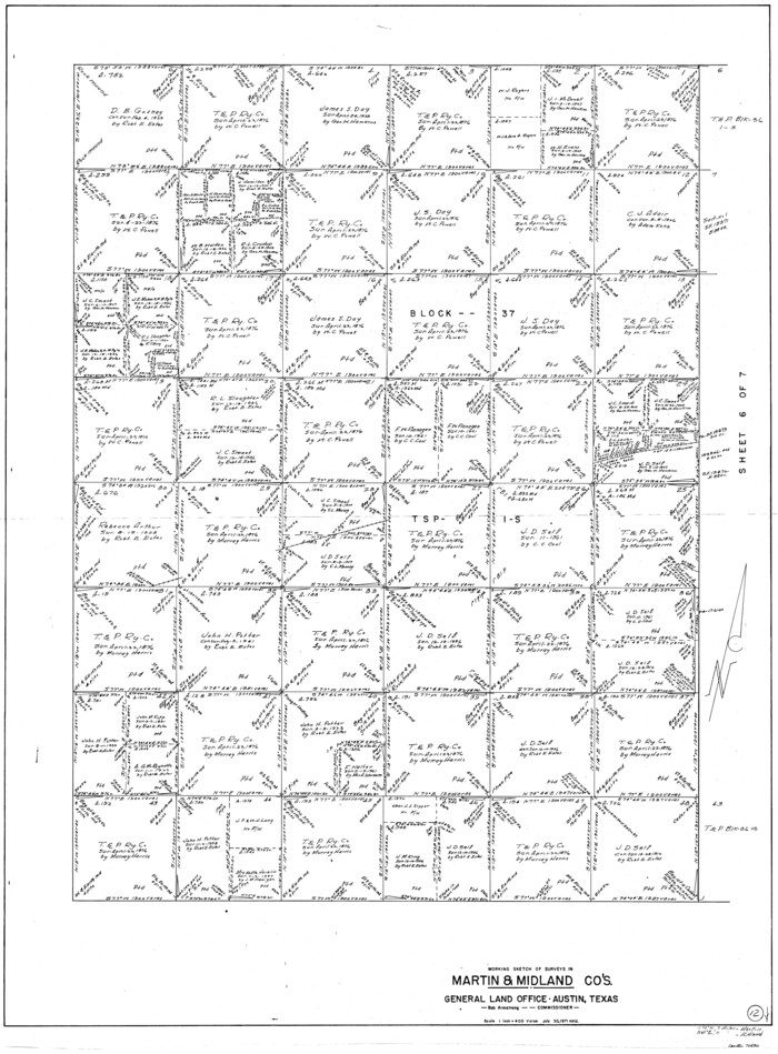
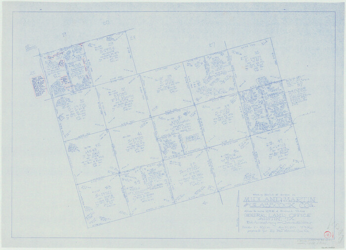
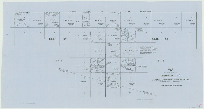
Andrews County Rolled Sketch 12
Print $40.00
- Digital $50.00
Andrews County Rolled Sketch 12
1933
Size: 58.1 x 39.1 inches
8390
Andrews County Rolled Sketch 12B
Print $20.00
- Digital $50.00
Andrews County Rolled Sketch 12B
1933
Size: 39.9 x 37.8 inches
8392
Andrews County Rolled Sketch 42
Print $20.00
- Digital $50.00
Andrews County Rolled Sketch 42
Size: 27.3 x 36.0 inches
77182
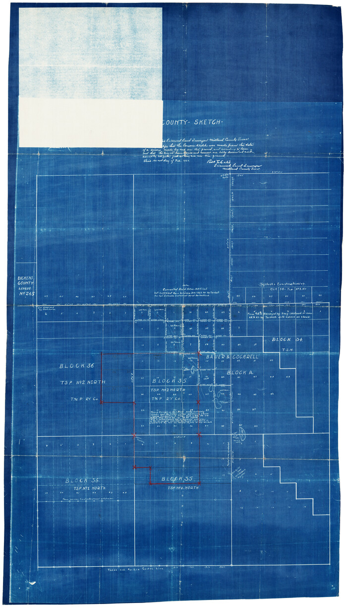
County Sketch
Print $20.00
- Digital $50.00
County Sketch
Size: 20.3 x 35.3 inches
92924
Dawson County Sketch File C
Print $50.00
- Digital $50.00
Dawson County Sketch File C
1917
Size: 14.3 x 8.8 inches
20470
Ector County Rolled Sketch 13
Print $40.00
- Digital $50.00
Ector County Rolled Sketch 13
1957
Size: 49.2 x 32.0 inches
8841
Ector County Sketch File 1
Print $20.00
- Digital $50.00
Ector County Sketch File 1
1931
Size: 17.1 x 18.0 inches
11415
General Highway Map, Midland County, Texas
Print $20.00
General Highway Map, Midland County, Texas
1940
Size: 18.2 x 24.5 inches
79197
General Highway Map, Midland County, Texas
Print $20.00
General Highway Map, Midland County, Texas
1961
Size: 18.2 x 24.6 inches
79596
Glasscock County Rolled Sketch 8
Print $20.00
- Digital $50.00
Glasscock County Rolled Sketch 8
1951
Size: 38.4 x 32.3 inches
9056
Glasscock County Rolled Sketch 8
Print $20.00
- Digital $50.00
Glasscock County Rolled Sketch 8
1951
Size: 37.3 x 31.1 inches
9057
Glasscock County Sketch File 2
Print $20.00
- Digital $50.00
Glasscock County Sketch File 2
1931
Size: 35.1 x 16.2 inches
11559
Map of Midland County
Print $20.00
- Digital $50.00
Map of Midland County
1901
Size: 43.9 x 38.3 inches
7825
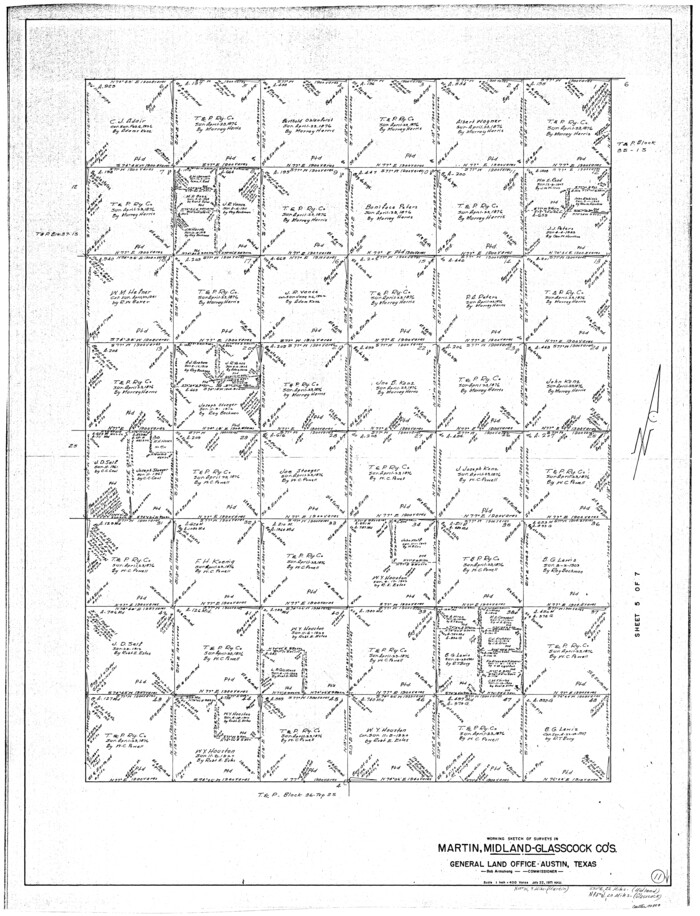
Map of lands owned by R.E. Montgomery in Martin and Andrews County, Texas
Print $20.00
- Digital $50.00
Map of lands owned by R.E. Montgomery in Martin and Andrews County, Texas
Size: 20.0 x 24.5 inches
75764
Martin County Sketch File 9
Print $20.00
Martin County Sketch File 9
Size: 19.7 x 27.4 inches
12029
Midland County
Print $20.00
- Digital $50.00
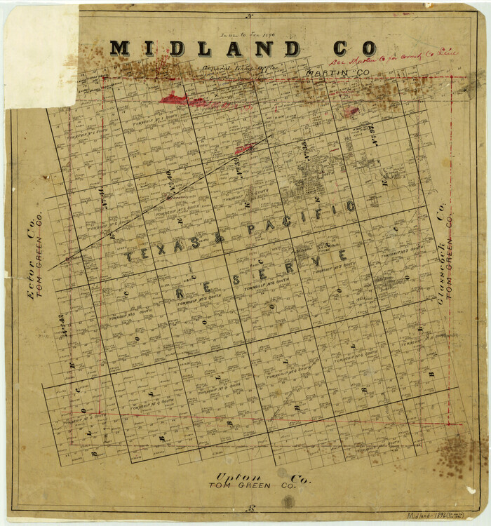
Midland County
1896
Size: 21.5 x 20.0 inches
3877
Midland County
Print $20.00
- Digital $50.00
Midland County
1896
Size: 23.0 x 21.1 inches
3878
Midland County
Print $20.00
- Digital $50.00
Midland County
1901
Size: 43.7 x 40.3 inches
66929
Midland County
Print $20.00
- Digital $50.00
Midland County
1930
Size: 45.7 x 39.6 inches
66930
Midland County
Print $20.00
- Digital $50.00
Midland County
1930
Size: 44.9 x 38.5 inches
73239
Midland County
Print $20.00
- Digital $50.00
Midland County
1930
Size: 39.8 x 33.1 inches
77372
Midland County
Print $20.00
- Digital $50.00
Midland County
1930
Size: 45.9 x 39.5 inches
95589
Midland County Boundary File 1
Print $40.00
- Digital $50.00
Midland County Boundary File 1
Size: 7.0 x 6.6 inches
57140
Midland County Boundary File 1a
Print $4.00
- Digital $50.00
Midland County Boundary File 1a
Size: 9.5 x 6.0 inches
57160
Midland County Boundary File 2
Print $24.00
- Digital $50.00
Midland County Boundary File 2
Size: 8.9 x 5.5 inches
57162
Midland County Boundary File 3
Print $4.00
- Digital $50.00
Midland County Boundary File 3
Size: 8.2 x 8.3 inches
57174
Midland County Boundary File 4
Print $18.00
- Digital $50.00
Midland County Boundary File 4
Size: 8.8 x 8.0 inches
57176
Midland County Boundary File 4a
Print $40.00
- Digital $50.00
Midland County Boundary File 4a
Size: 36.2 x 54.5 inches
57185
Midland County Boundary File 4b
Print $18.00
- Digital $50.00
Midland County Boundary File 4b
Size: 13.6 x 9.0 inches
57186
Midland County Boundary File 5
Print $6.00
- Digital $50.00
Midland County Boundary File 5
Size: 9.6 x 6.0 inches
57195
Andrews County Rolled Sketch 12
Print $40.00
- Digital $50.00
Andrews County Rolled Sketch 12
1933
-
Size
58.1 x 39.1 inches
-
Map/Doc
8390
-
Creation Date
1933
Andrews County Rolled Sketch 12B
Print $20.00
- Digital $50.00
Andrews County Rolled Sketch 12B
1933
-
Size
39.9 x 37.8 inches
-
Map/Doc
8392
-
Creation Date
1933
Andrews County Rolled Sketch 42
Print $20.00
- Digital $50.00
Andrews County Rolled Sketch 42
-
Size
27.3 x 36.0 inches
-
Map/Doc
77182
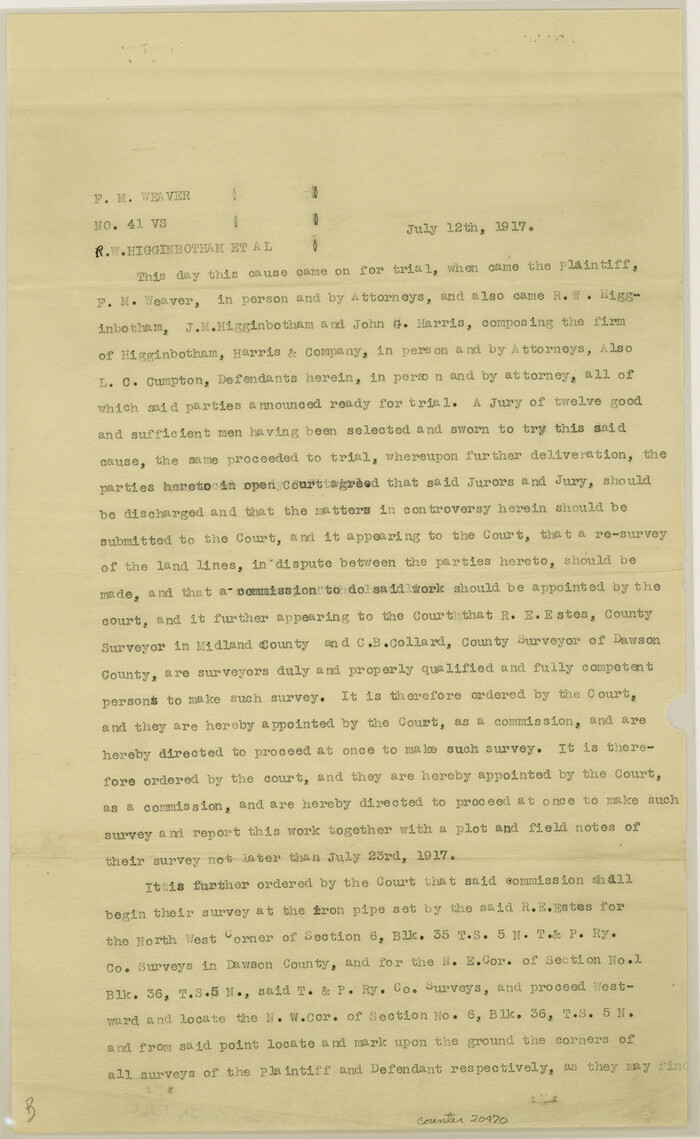
Dawson County Sketch File C
Print $50.00
- Digital $50.00
Dawson County Sketch File C
1917
-
Size
14.3 x 8.8 inches
-
Map/Doc
20470
-
Creation Date
1917
Ector County Rolled Sketch 13
Print $40.00
- Digital $50.00
Ector County Rolled Sketch 13
1957
-
Size
49.2 x 32.0 inches
-
Map/Doc
8841
-
Creation Date
1957
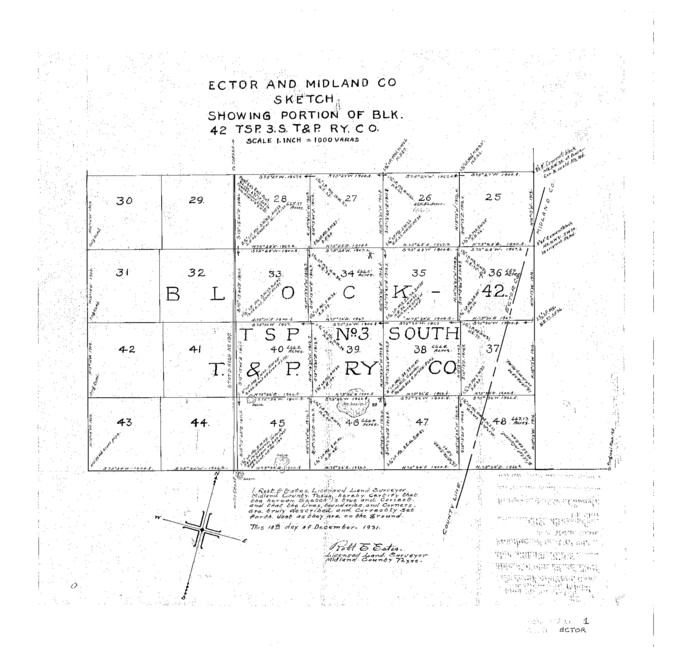
Ector County Sketch File 1
Print $20.00
- Digital $50.00
Ector County Sketch File 1
1931
-
Size
17.1 x 18.0 inches
-
Map/Doc
11415
-
Creation Date
1931
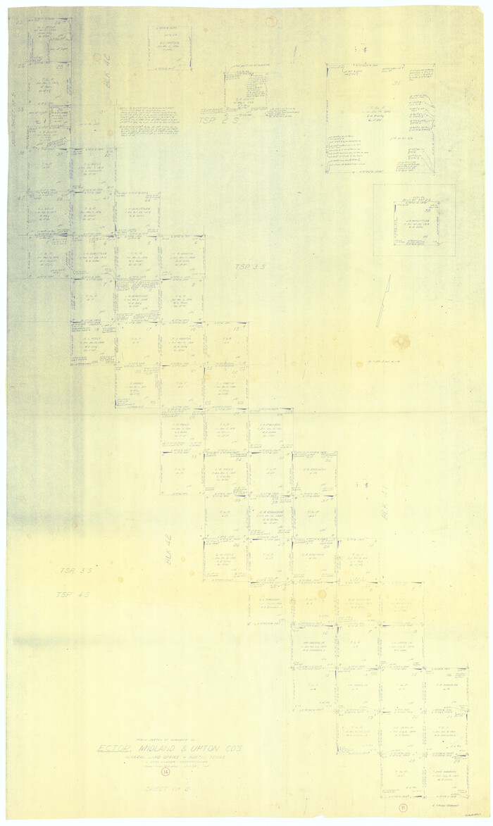
General Highway Map, Midland County, Texas
Print $20.00
General Highway Map, Midland County, Texas
1940
-
Size
18.2 x 24.5 inches
-
Map/Doc
79197
-
Creation Date
1940
General Highway Map, Midland County, Texas
Print $20.00
General Highway Map, Midland County, Texas
1961
-
Size
18.2 x 24.6 inches
-
Map/Doc
79596
-
Creation Date
1961
Glasscock County Rolled Sketch 8
Print $20.00
- Digital $50.00
Glasscock County Rolled Sketch 8
1951
-
Size
38.4 x 32.3 inches
-
Map/Doc
9056
-
Creation Date
1951
Glasscock County Rolled Sketch 8
Print $20.00
- Digital $50.00
Glasscock County Rolled Sketch 8
1951
-
Size
37.3 x 31.1 inches
-
Map/Doc
9057
-
Creation Date
1951
Glasscock County Sketch File 2
Print $20.00
- Digital $50.00
Glasscock County Sketch File 2
1931
-
Size
35.1 x 16.2 inches
-
Map/Doc
11559
-
Creation Date
1931
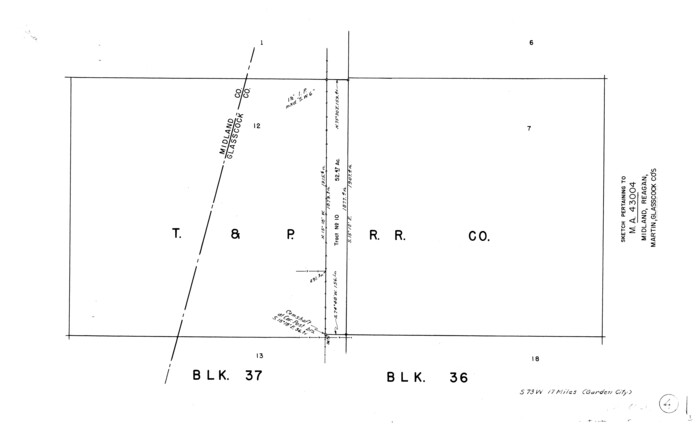
Map of Midland County
Print $20.00
- Digital $50.00
Map of Midland County
1901
-
Size
43.9 x 38.3 inches
-
Map/Doc
7825
-
Creation Date
1901
Map of lands owned by R.E. Montgomery in Martin and Andrews County, Texas
Print $20.00
- Digital $50.00
Map of lands owned by R.E. Montgomery in Martin and Andrews County, Texas
-
Size
20.0 x 24.5 inches
-
Map/Doc
75764
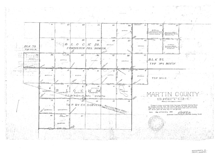
Martin County Sketch File 9
Print $20.00
Martin County Sketch File 9
-
Size
19.7 x 27.4 inches
-
Map/Doc
12029
Midland County
Print $20.00
- Digital $50.00
Midland County
1896
-
Size
21.5 x 20.0 inches
-
Map/Doc
3877
-
Creation Date
1896
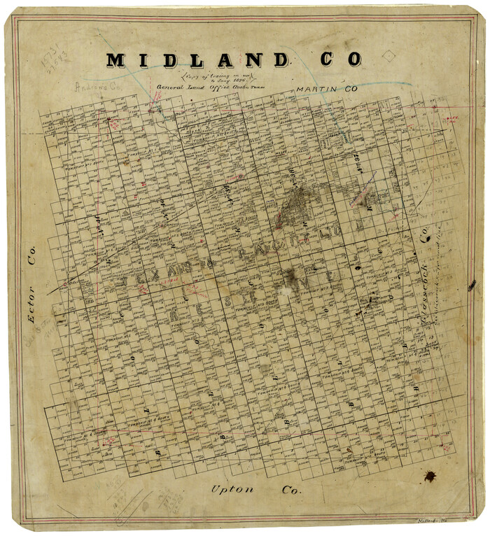
Midland County
Print $20.00
- Digital $50.00
Midland County
1896
-
Size
23.0 x 21.1 inches
-
Map/Doc
3878
-
Creation Date
1896
Midland County
Print $20.00
- Digital $50.00
Midland County
1901
-
Size
43.7 x 40.3 inches
-
Map/Doc
66929
-
Creation Date
1901
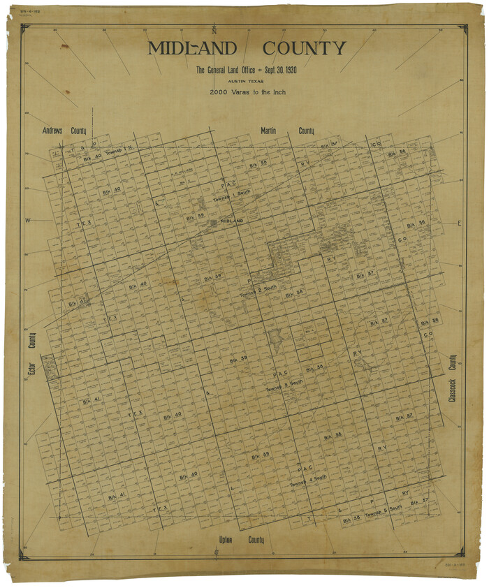
Midland County
Print $20.00
- Digital $50.00
Midland County
1930
-
Size
45.7 x 39.6 inches
-
Map/Doc
66930
-
Creation Date
1930
Midland County
Print $20.00
- Digital $50.00
Midland County
1930
-
Size
44.9 x 38.5 inches
-
Map/Doc
73239
-
Creation Date
1930
Midland County
Print $20.00
- Digital $50.00
Midland County
1930
-
Size
39.8 x 33.1 inches
-
Map/Doc
77372
-
Creation Date
1930
Midland County
Print $20.00
- Digital $50.00
Midland County
1930
-
Size
45.9 x 39.5 inches
-
Map/Doc
95589
-
Creation Date
1930
Midland County Boundary File 1
Print $40.00
- Digital $50.00
Midland County Boundary File 1
-
Size
7.0 x 6.6 inches
-
Map/Doc
57140
Midland County Boundary File 1a
Print $4.00
- Digital $50.00
Midland County Boundary File 1a
-
Size
9.5 x 6.0 inches
-
Map/Doc
57160
Midland County Boundary File 2
Print $24.00
- Digital $50.00
Midland County Boundary File 2
-
Size
8.9 x 5.5 inches
-
Map/Doc
57162
Midland County Boundary File 3
Print $4.00
- Digital $50.00
Midland County Boundary File 3
-
Size
8.2 x 8.3 inches
-
Map/Doc
57174
Midland County Boundary File 4
Print $18.00
- Digital $50.00
Midland County Boundary File 4
-
Size
8.8 x 8.0 inches
-
Map/Doc
57176
Midland County Boundary File 4a
Print $40.00
- Digital $50.00
Midland County Boundary File 4a
-
Size
36.2 x 54.5 inches
-
Map/Doc
57185
Midland County Boundary File 4b
Print $18.00
- Digital $50.00
Midland County Boundary File 4b
-
Size
13.6 x 9.0 inches
-
Map/Doc
57186
Midland County Boundary File 5
Print $6.00
- Digital $50.00
Midland County Boundary File 5
-
Size
9.6 x 6.0 inches
-
Map/Doc
57195