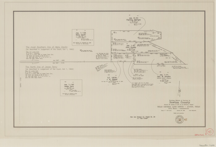
Newton County Working Sketch 45
1996

Newton County Working Sketch 44
1992
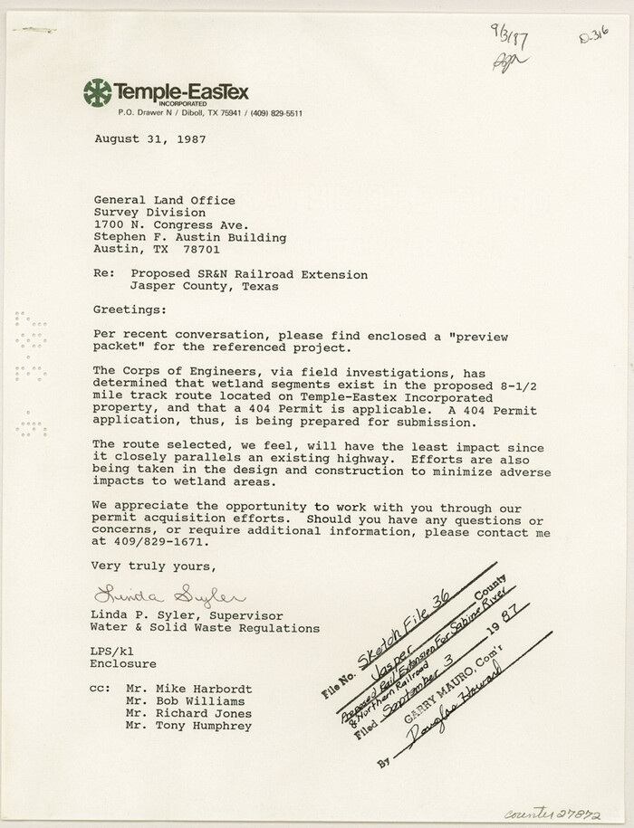
Jasper County Sketch File 36
1987

Newton County Working Sketch 43
1982

Newton County Working Sketch 42
1981
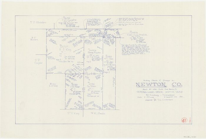
Newton County Working Sketch 41
1979
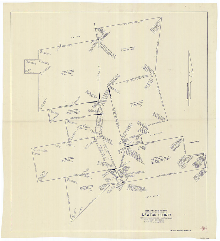
Newton County Working Sketch 40
1970
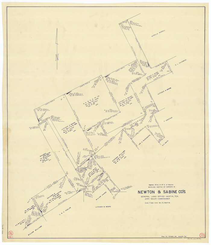
Newton County Working Sketch 35
1969
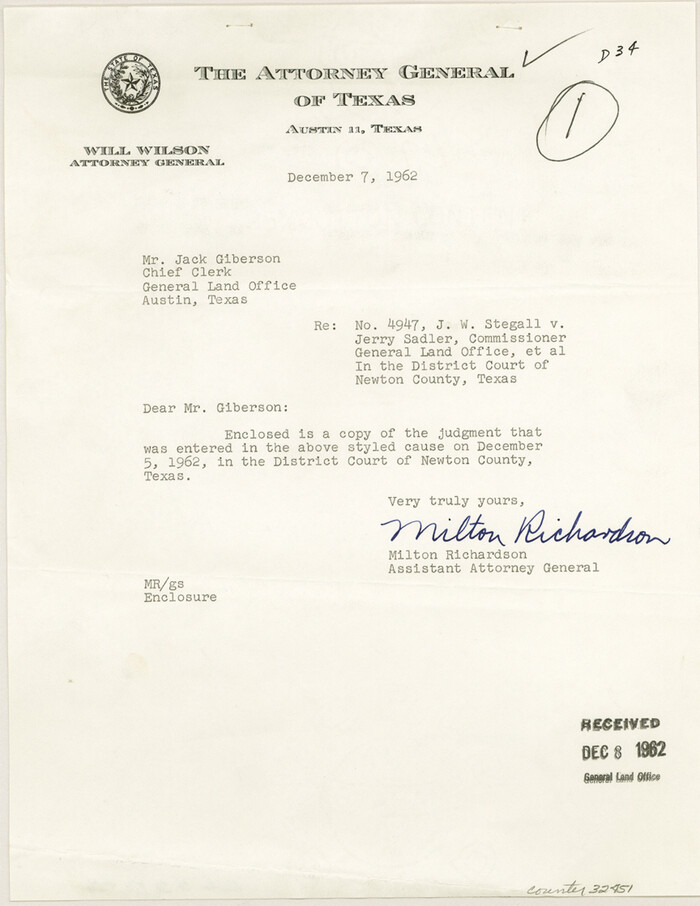
Newton County Sketch File 46
1962
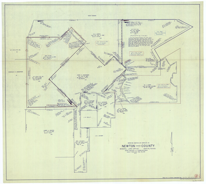
Newton County Working Sketch 39
1961

Newton County Working Sketch 38
1961
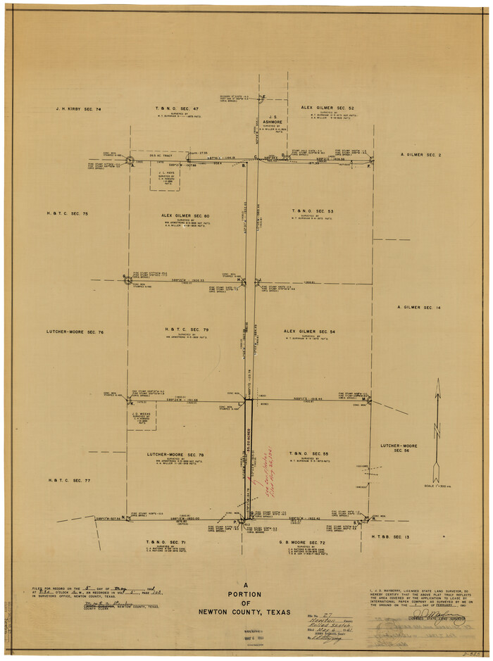
Newton County Rolled Sketch 27
1961
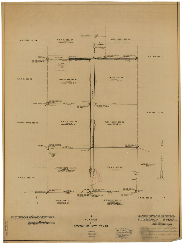
Newton County Rolled Sketch 27A
1961

General Highway Map, Newton County, Texas
1961
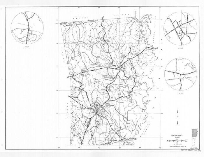
General Highway Map, Newton County, Texas
1961

Newton County Working Sketch 37
1960

Newton County Working Sketch 36
1960

Newton County Rolled Sketch 26
1960
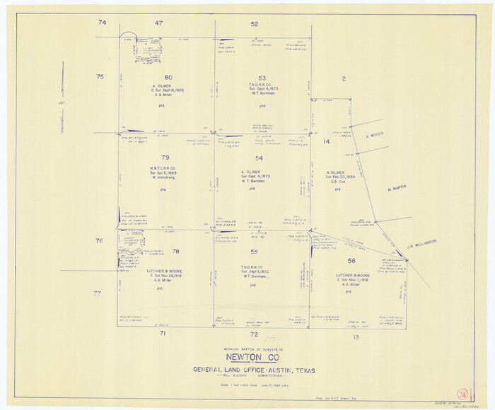
Newton County Working Sketch 34
1959

Newton County Rolled Sketch 22
1957

Newton County Rolled Sketch 21
1957
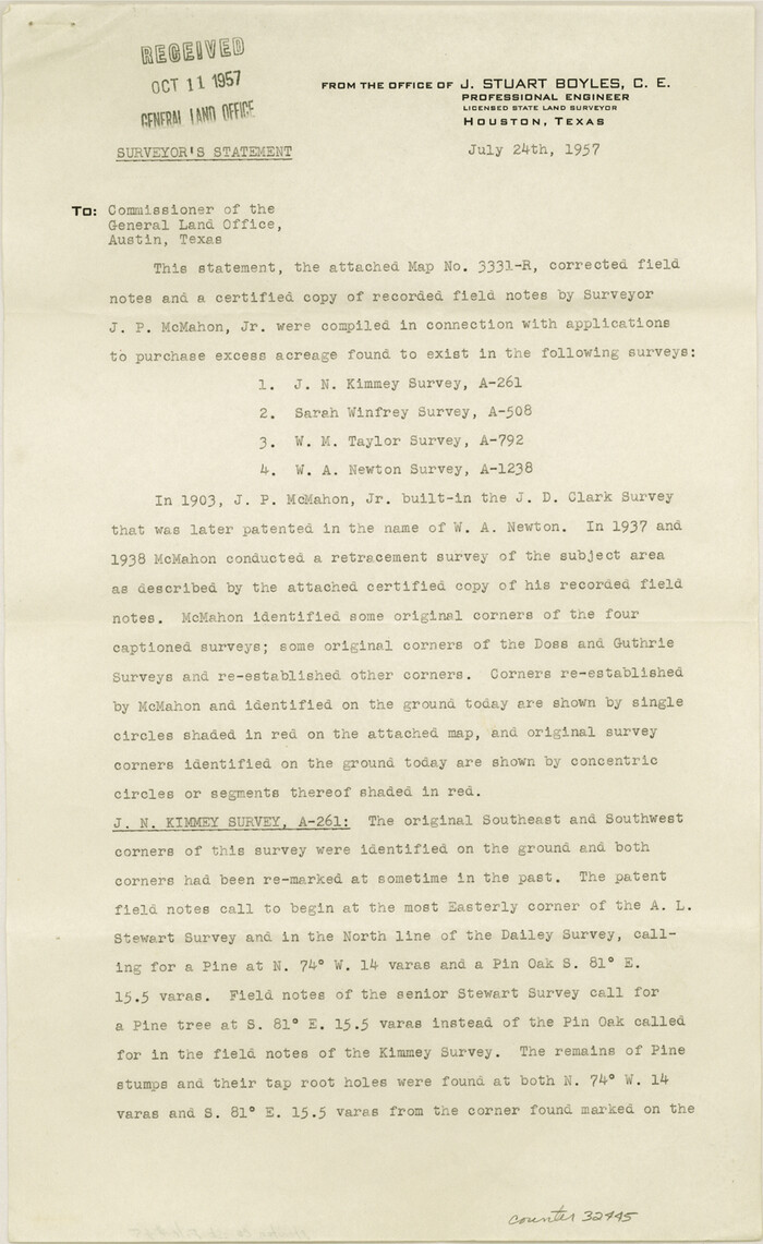
Newton County Sketch File 45
1957
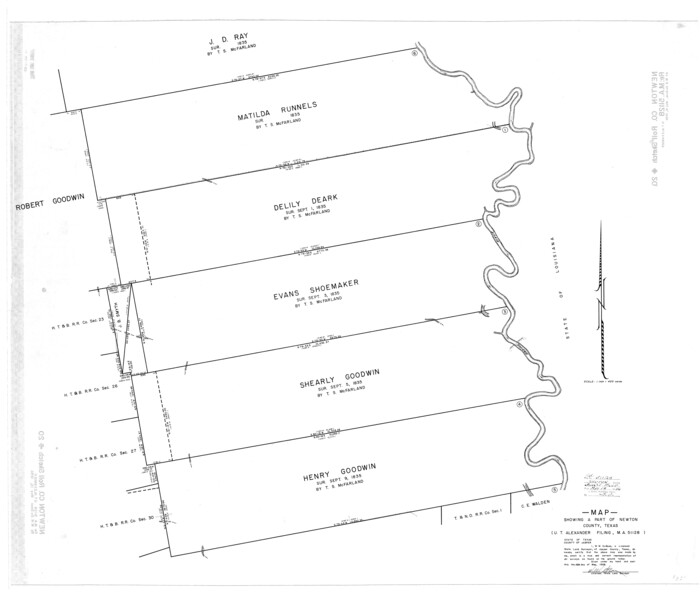
Newton County Rolled Sketch 20
1956

Newton County Rolled Sketch 19
1956

Jasper County Working Sketch 30
1956
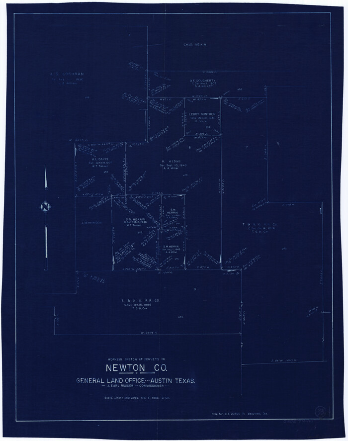
Newton County Working Sketch 33
1956
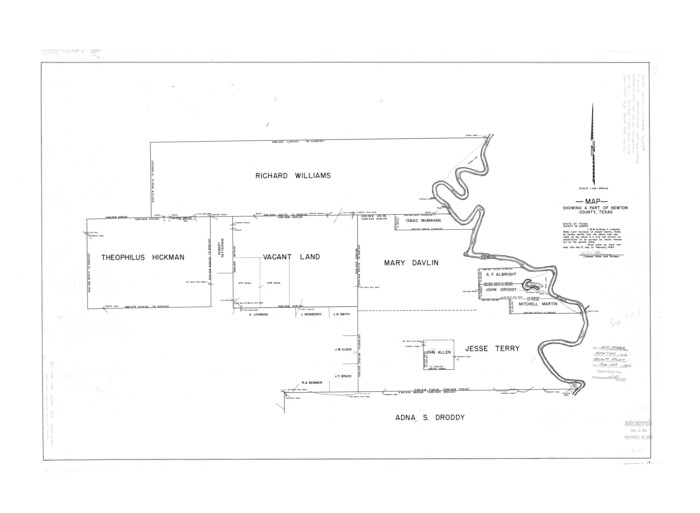
Newton County Rolled Sketch 17
1955
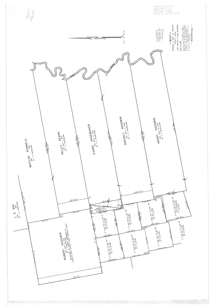
Newton County Rolled Sketch 18
1955

Newton County Working Sketch 32
1955
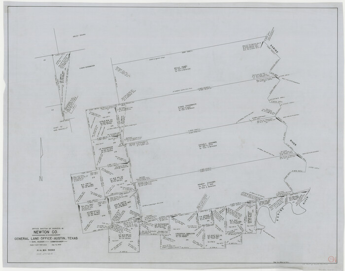
Newton County Working Sketch 31
1955

Newton County Working Sketch 45
1996
-
Size
16.4 x 24.0 inches
-
Map/Doc
71291
-
Creation Date
1996

Newton County Working Sketch 44
1992
-
Size
19.2 x 24.6 inches
-
Map/Doc
71290
-
Creation Date
1992

Jasper County Sketch File 36
1987
-
Size
11.2 x 8.6 inches
-
Map/Doc
27872
-
Creation Date
1987

Newton County Working Sketch 43
1982
-
Size
20.7 x 28.6 inches
-
Map/Doc
71289
-
Creation Date
1982

Newton County Working Sketch 42
1981
-
Size
26.4 x 22.5 inches
-
Map/Doc
71288
-
Creation Date
1981

Newton County Working Sketch 41
1979
-
Size
17.8 x 26.2 inches
-
Map/Doc
71287
-
Creation Date
1979

Newton County Working Sketch 40
1970
-
Size
43.6 x 39.7 inches
-
Map/Doc
71286
-
Creation Date
1970

Newton County Working Sketch 35
1969
-
Size
37.4 x 32.3 inches
-
Map/Doc
71281
-
Creation Date
1969

Newton County Sketch File 46
1962
-
Size
11.2 x 8.6 inches
-
Map/Doc
32451
-
Creation Date
1962

Newton County Working Sketch 39
1961
-
Size
36.6 x 41.0 inches
-
Map/Doc
71285
-
Creation Date
1961

Newton County Working Sketch 38
1961
-
Size
36.8 x 29.2 inches
-
Map/Doc
71284
-
Creation Date
1961

Newton County Rolled Sketch 27
1961
-
Size
36.0 x 27.3 inches
-
Map/Doc
6856
-
Creation Date
1961

Newton County Rolled Sketch 27A
1961
-
Size
35.9 x 27.1 inches
-
Map/Doc
6857
-
Creation Date
1961

General Highway Map, Newton County, Texas
1961
-
Size
19.3 x 25.0 inches
-
Map/Doc
79612
-
Creation Date
1961

General Highway Map, Newton County, Texas
1961
-
Size
19.3 x 25.0 inches
-
Map/Doc
79613
-
Creation Date
1961

Newton County Working Sketch 37
1960
-
Size
31.7 x 22.7 inches
-
Map/Doc
71283
-
Creation Date
1960

Newton County Working Sketch 36
1960
-
Size
29.9 x 39.1 inches
-
Map/Doc
71282
-
Creation Date
1960

Newton County Rolled Sketch 26
1960
-
Size
10.9 x 15.4 inches
-
Map/Doc
47265
-
Creation Date
1960

Newton County Working Sketch 34
1959
-
Size
27.0 x 32.6 inches
-
Map/Doc
71280
-
Creation Date
1959

Newton County Rolled Sketch 22
1957
-
Size
20.8 x 28.7 inches
-
Map/Doc
6849
-
Creation Date
1957

Newton County Rolled Sketch 21
1957
-
Size
29.9 x 52.5 inches
-
Map/Doc
9582
-
Creation Date
1957

Newton County Sketch File 45
1957
-
Size
14.1 x 8.7 inches
-
Map/Doc
32445
-
Creation Date
1957

Newton County Rolled Sketch 20
1956
-
Size
41.4 x 48.0 inches
-
Map/Doc
9581
-
Creation Date
1956

Newton County Rolled Sketch 19
1956
-
Size
42.1 x 33.5 inches
-
Map/Doc
6848
-
Creation Date
1956

Jasper County Working Sketch 30
1956
-
Size
33.5 x 38.6 inches
-
Map/Doc
66492
-
Creation Date
1956

Newton County Working Sketch 33
1956
-
Size
28.3 x 22.3 inches
-
Map/Doc
71279
-
Creation Date
1956

Newton County Rolled Sketch 17
1955
-
Size
34.5 x 47.1 inches
-
Map/Doc
6847
-
Creation Date
1955

Newton County Rolled Sketch 18
1955
-
Size
41.6 x 59.2 inches
-
Map/Doc
9580
-
Creation Date
1955

Newton County Working Sketch 32
1955
-
Size
22.9 x 24.0 inches
-
Map/Doc
71278
-
Creation Date
1955

Newton County Working Sketch 31
1955
-
Size
34.3 x 43.6 inches
-
Map/Doc
71277
-
Creation Date
1955