Atlas T - Titles to Frontier Settlers issued by the Commissioner Carlos S. Taylor


Atlas T - Titles to Frontier Settlers issued by the Commissioner Carlos S. Taylor
1834
94536
English Field Notes of the Spanish Archives - Book 4 & W


English Field Notes of the Spanish Archives - Book 4 & W
1836
96530
English Field Notes of the Spanish Archives - Books DB3 & WR


English Field Notes of the Spanish Archives - Books DB3 & WR
1835
96548
English Field Notes of the Spanish Archives - Books JMH, MCMCHB, TGI


English Field Notes of the Spanish Archives - Books JMH, MCMCHB, TGI
1835
96547
English Field Notes of the Spanish Archives - Books R & MC


English Field Notes of the Spanish Archives - Books R & MC
1835
96552
English Field Notes of the Spanish Archives - Books SAS, DB4, GWS, JWB, and JWB3


English Field Notes of the Spanish Archives - Books SAS, DB4, GWS, JWB, and JWB3
1835
96551
English Field Notes of the Spanish Archives - Books TJG, DB, A, A2, B, B2, WB, and WR


English Field Notes of the Spanish Archives - Books TJG, DB, A, A2, B, B2, WB, and WR
1835
96553
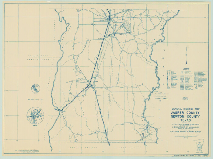
General Highway Map, Jasper County, Newton County, Texas

Print $20.00
General Highway Map, Jasper County, Newton County, Texas
1940
Size: 18.6 x 25.0 inches
79141
General Highway Map, Jasper County, Newton County, Texas


Print $20.00
General Highway Map, Jasper County, Newton County, Texas
1940
Size: 18.6 x 25.2 inches
79142
General Highway Map, Newton County, Texas


Print $20.00
General Highway Map, Newton County, Texas
1961
Size: 19.3 x 25.0 inches
79612
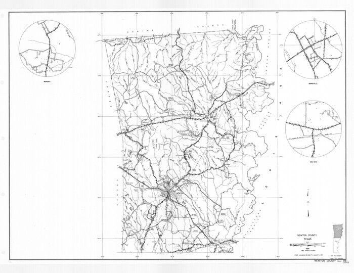
General Highway Map, Newton County, Texas

Print $20.00
General Highway Map, Newton County, Texas
1961
Size: 19.3 x 25.0 inches
79613
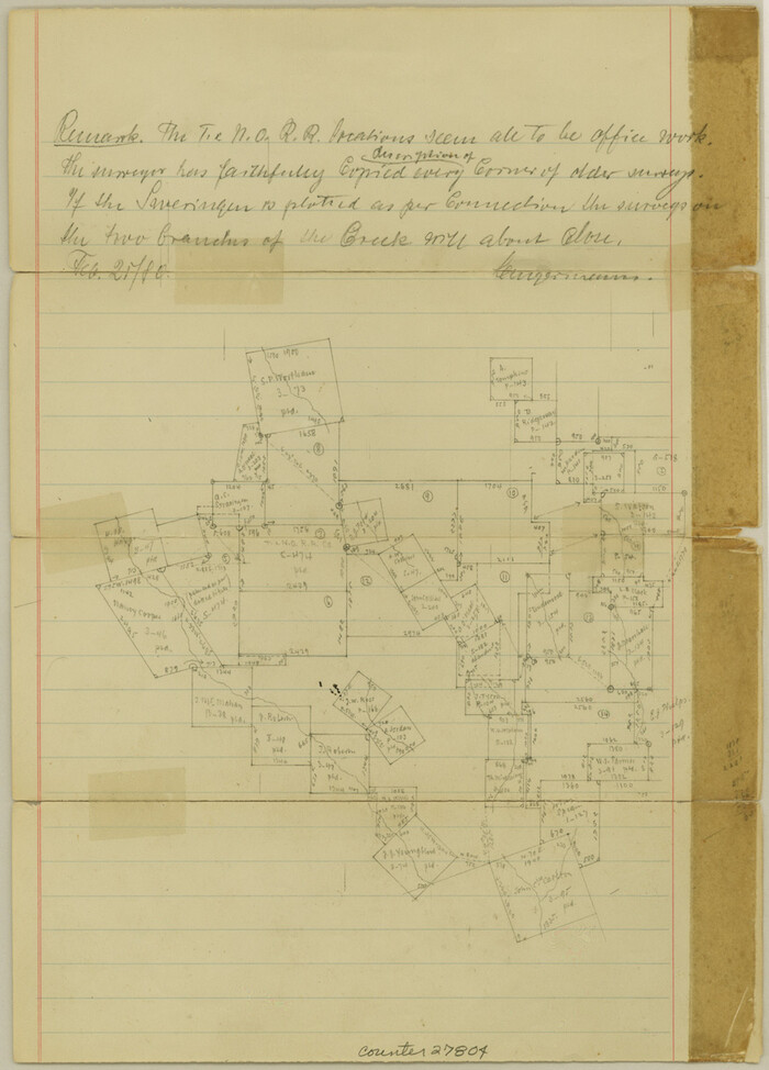
Jasper County Sketch File 13

Print $4.00
- Digital $50.00
Jasper County Sketch File 13
1880
Size: 12.1 x 8.7 inches
27804
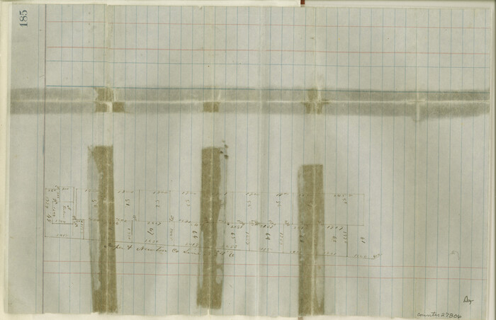
Jasper County Sketch File 15

Print $6.00
- Digital $50.00
Jasper County Sketch File 15
Size: 9.9 x 15.3 inches
27806
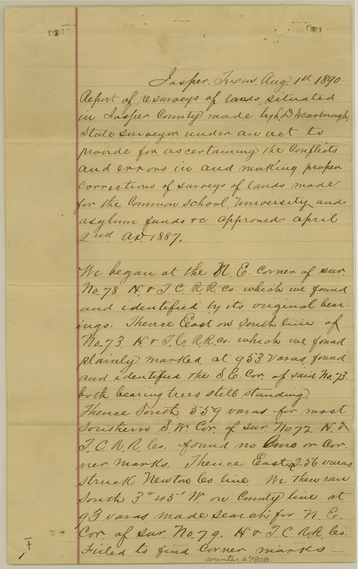
Jasper County Sketch File 18

Print $32.00
- Digital $50.00
Jasper County Sketch File 18
1890
Size: 12.6 x 7.9 inches
27808
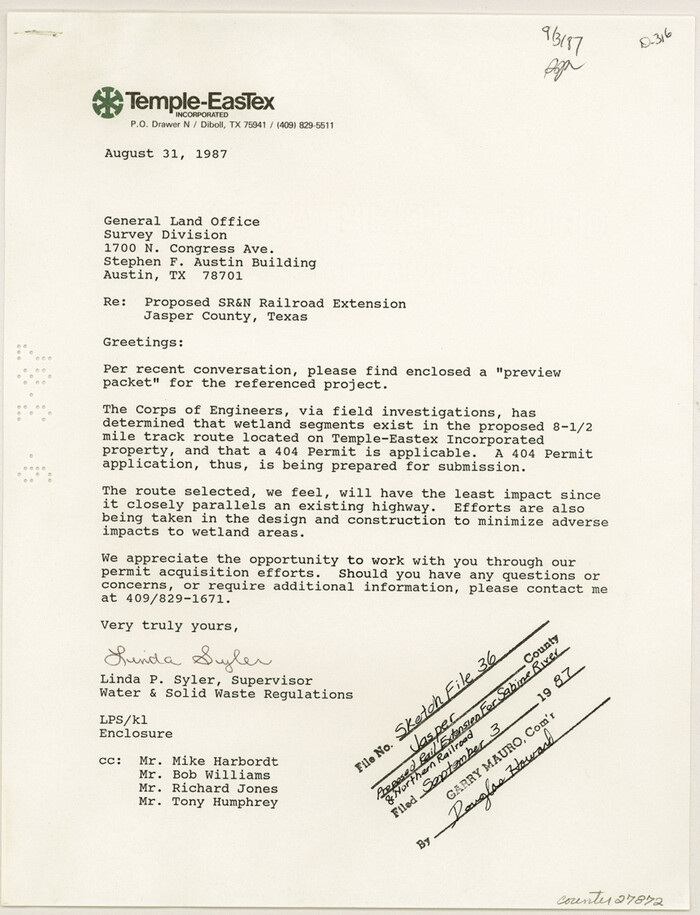
Jasper County Sketch File 36

Print $32.00
- Digital $50.00
Jasper County Sketch File 36
1987
Size: 11.2 x 8.6 inches
27872
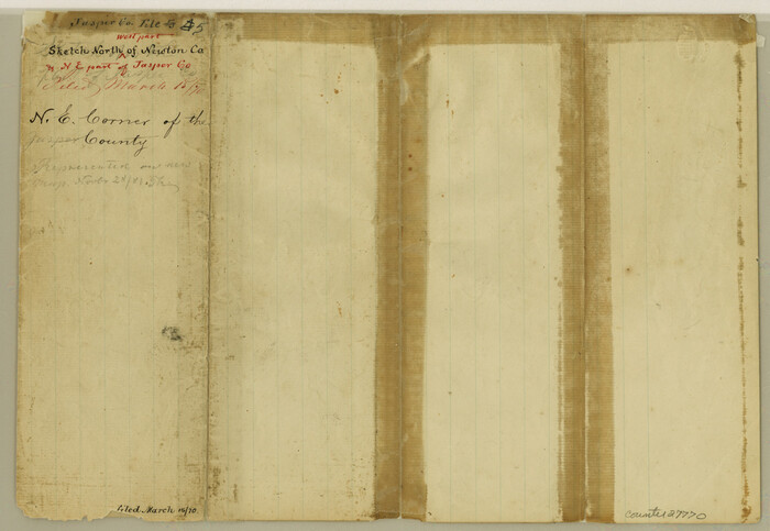
Jasper County Sketch File 5

Print $4.00
- Digital $50.00
Jasper County Sketch File 5
Size: 8.4 x 12.1 inches
27770
Jasper County Sketch File 6


Print $26.00
- Digital $50.00
Jasper County Sketch File 6
1867
Size: 12.8 x 8.2 inches
27771
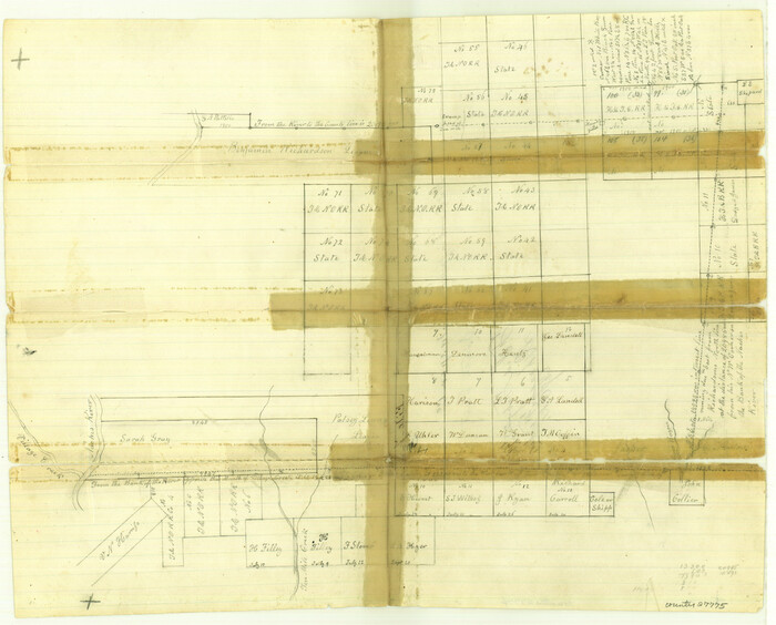
Jasper County Sketch File 7

Print $22.00
- Digital $50.00
Jasper County Sketch File 7
Size: 12.4 x 15.4 inches
27775
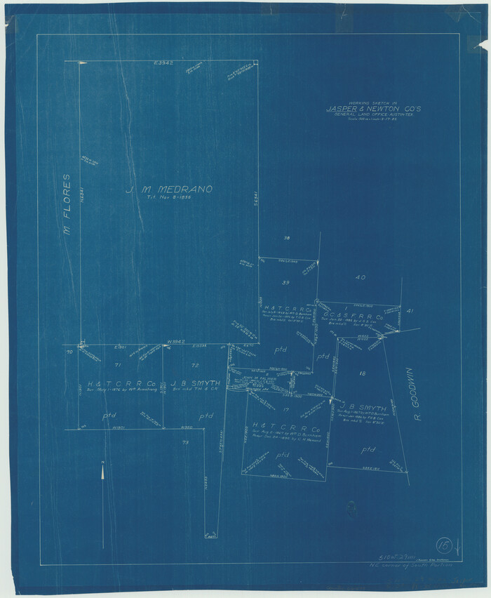
Jasper County Working Sketch 15

Print $20.00
- Digital $50.00
Jasper County Working Sketch 15
1925
Size: 26.8 x 22.1 inches
66477
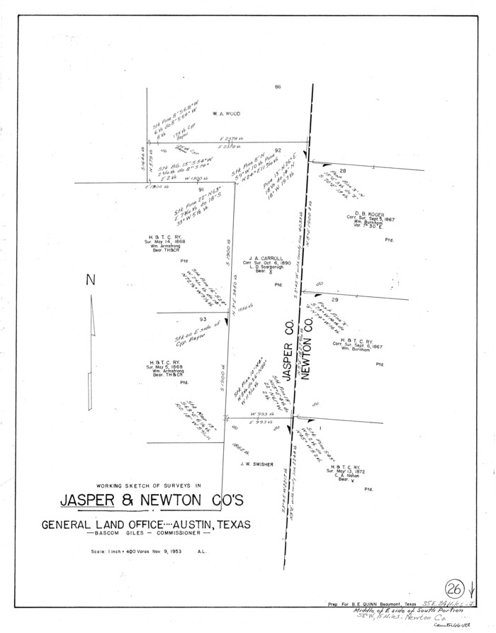
Jasper County Working Sketch 26

Print $20.00
- Digital $50.00
Jasper County Working Sketch 26
1953
Size: 23.1 x 18.1 inches
66488
Jasper County Working Sketch 30


Print $20.00
- Digital $50.00
Jasper County Working Sketch 30
1956
Size: 33.5 x 38.6 inches
66492
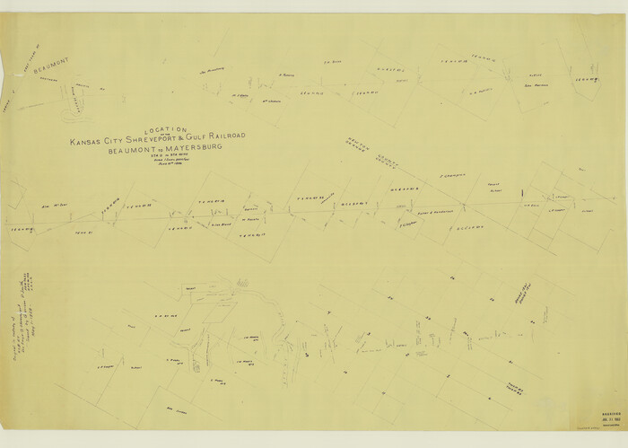
Location of the Kansas City Shreveport & Gulf Railroad, Beaumont to Mayersburg

Print $20.00
- Digital $50.00
Location of the Kansas City Shreveport & Gulf Railroad, Beaumont to Mayersburg
1896
Size: 26.0 x 36.5 inches
64771
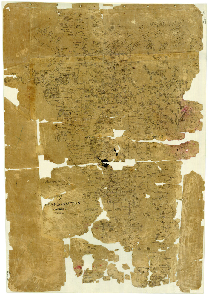
Map of Jasper and Newton Counties

Print $20.00
- Digital $50.00
Map of Jasper and Newton Counties
1862
Size: 36.5 x 25.8 inches
3714
Map of Newton Co.
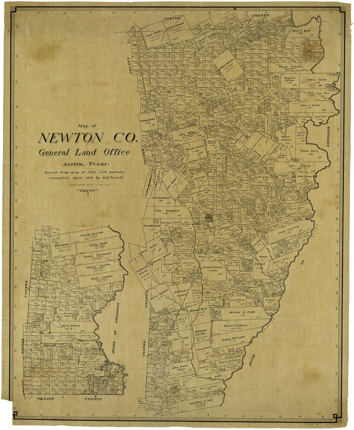

Print $20.00
- Digital $50.00
Map of Newton Co.
1905
Size: 47.5 x 38.9 inches
5020
Map of Newton Co.


Print $20.00
- Digital $50.00
Map of Newton Co.
1918
Size: 46.4 x 39.4 inches
81987
Map of Newton County
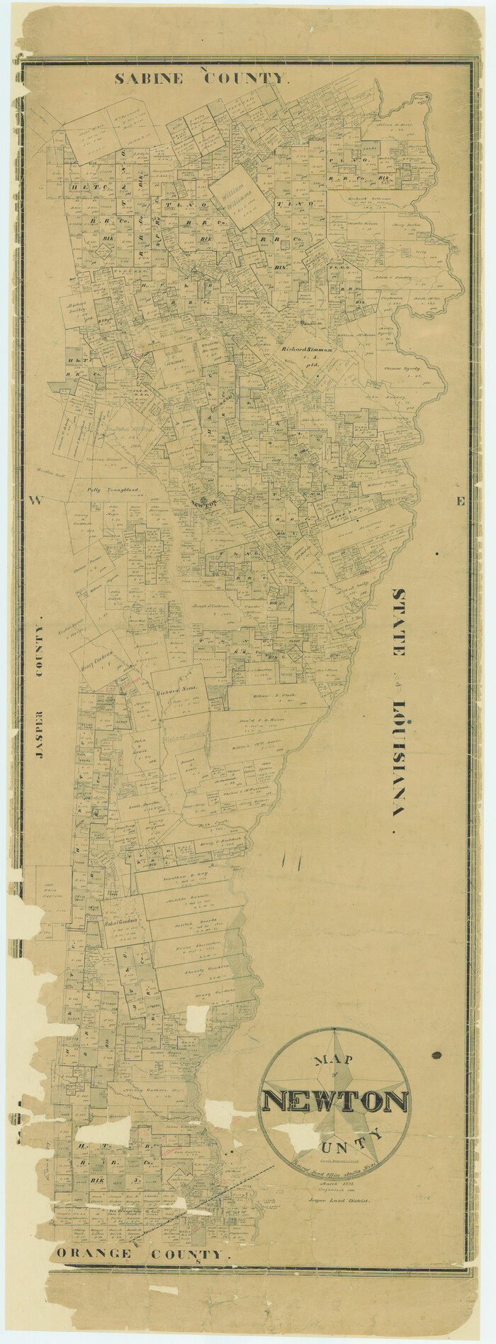

Print $40.00
- Digital $50.00
Map of Newton County
1894
Size: 74.9 x 27.7 inches
16778
Map of Newton County
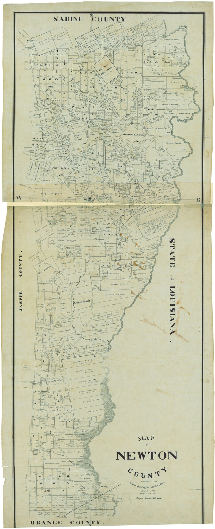

Print $40.00
- Digital $50.00
Map of Newton County
1894
Size: 69.8 x 28.4 inches
82078
Map of Newton County, Texas
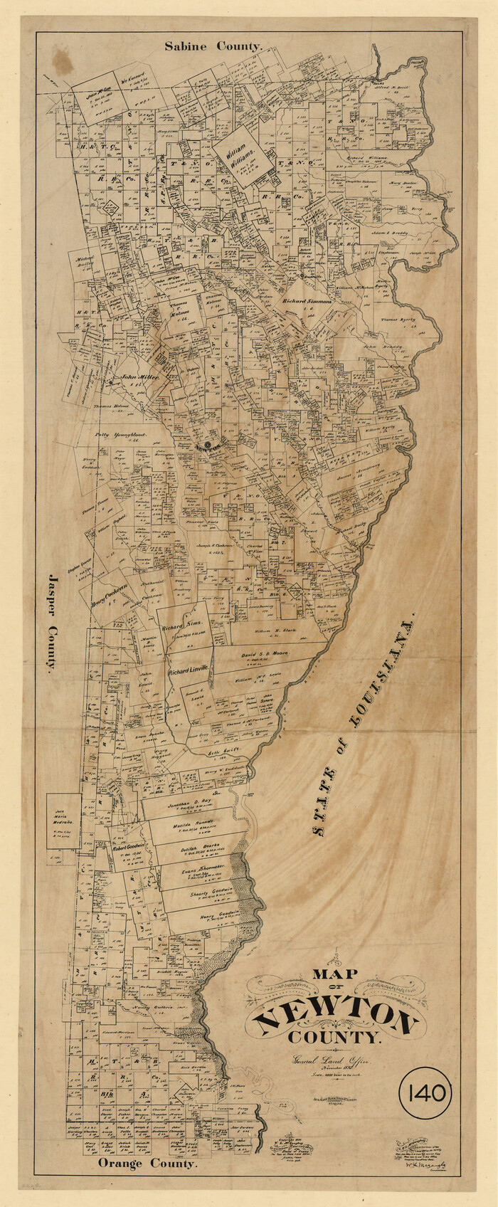

Print $20.00
- Digital $50.00
Map of Newton County, Texas
1893
Size: 35.0 x 15.2 inches
587
Map of the River Sabine from its Mouth on the Gulf of Mexico in the Sea to Logan's Ferry in Latitude 31° 58' 25" North


Print $20.00
Map of the River Sabine from its Mouth on the Gulf of Mexico in the Sea to Logan's Ferry in Latitude 31° 58' 25" North
1840
Size: 35.5 x 9.1 inches
79294
Atlas T - Titles to Frontier Settlers issued by the Commissioner Carlos S. Taylor


Atlas T - Titles to Frontier Settlers issued by the Commissioner Carlos S. Taylor
1834
-
Map/Doc
94536
-
Creation Date
1834
English Field Notes of the Spanish Archives - Book 4 & W


English Field Notes of the Spanish Archives - Book 4 & W
1836
-
Map/Doc
96530
-
Creation Date
1836
English Field Notes of the Spanish Archives - Books DB3 & WR


English Field Notes of the Spanish Archives - Books DB3 & WR
1835
-
Map/Doc
96548
-
Creation Date
1835
English Field Notes of the Spanish Archives - Books JMH, MCMCHB, TGI


English Field Notes of the Spanish Archives - Books JMH, MCMCHB, TGI
1835
-
Map/Doc
96547
-
Creation Date
1835
English Field Notes of the Spanish Archives - Books R & MC


English Field Notes of the Spanish Archives - Books R & MC
1835
-
Map/Doc
96552
-
Creation Date
1835
English Field Notes of the Spanish Archives - Books SAS, DB4, GWS, JWB, and JWB3


English Field Notes of the Spanish Archives - Books SAS, DB4, GWS, JWB, and JWB3
1835
-
Map/Doc
96551
-
Creation Date
1835
English Field Notes of the Spanish Archives - Books TJG, DB, A, A2, B, B2, WB, and WR


English Field Notes of the Spanish Archives - Books TJG, DB, A, A2, B, B2, WB, and WR
1835
-
Map/Doc
96553
-
Creation Date
1835
General Highway Map, Jasper County, Newton County, Texas


Print $20.00
General Highway Map, Jasper County, Newton County, Texas
1940
-
Size
18.6 x 25.0 inches
-
Map/Doc
79141
-
Creation Date
1940
General Highway Map, Jasper County, Newton County, Texas


Print $20.00
General Highway Map, Jasper County, Newton County, Texas
1940
-
Size
18.6 x 25.2 inches
-
Map/Doc
79142
-
Creation Date
1940
General Highway Map, Newton County, Texas


Print $20.00
General Highway Map, Newton County, Texas
1961
-
Size
19.3 x 25.0 inches
-
Map/Doc
79612
-
Creation Date
1961
General Highway Map, Newton County, Texas


Print $20.00
General Highway Map, Newton County, Texas
1961
-
Size
19.3 x 25.0 inches
-
Map/Doc
79613
-
Creation Date
1961
Jasper County


Print $20.00
- Digital $50.00
Jasper County
1882
-
Size
34.8 x 28.6 inches
-
Map/Doc
3717
-
Creation Date
1882
Jasper County Sketch File 13


Print $4.00
- Digital $50.00
Jasper County Sketch File 13
1880
-
Size
12.1 x 8.7 inches
-
Map/Doc
27804
-
Creation Date
1880
Jasper County Sketch File 15


Print $6.00
- Digital $50.00
Jasper County Sketch File 15
-
Size
9.9 x 15.3 inches
-
Map/Doc
27806
Jasper County Sketch File 18


Print $32.00
- Digital $50.00
Jasper County Sketch File 18
1890
-
Size
12.6 x 7.9 inches
-
Map/Doc
27808
-
Creation Date
1890
Jasper County Sketch File 36


Print $32.00
- Digital $50.00
Jasper County Sketch File 36
1987
-
Size
11.2 x 8.6 inches
-
Map/Doc
27872
-
Creation Date
1987
Jasper County Sketch File 5


Print $4.00
- Digital $50.00
Jasper County Sketch File 5
-
Size
8.4 x 12.1 inches
-
Map/Doc
27770
Jasper County Sketch File 6


Print $26.00
- Digital $50.00
Jasper County Sketch File 6
1867
-
Size
12.8 x 8.2 inches
-
Map/Doc
27771
-
Creation Date
1867
Jasper County Sketch File 7


Print $22.00
- Digital $50.00
Jasper County Sketch File 7
-
Size
12.4 x 15.4 inches
-
Map/Doc
27775
Jasper County Working Sketch 15


Print $20.00
- Digital $50.00
Jasper County Working Sketch 15
1925
-
Size
26.8 x 22.1 inches
-
Map/Doc
66477
-
Creation Date
1925
Jasper County Working Sketch 26


Print $20.00
- Digital $50.00
Jasper County Working Sketch 26
1953
-
Size
23.1 x 18.1 inches
-
Map/Doc
66488
-
Creation Date
1953
Jasper County Working Sketch 30


Print $20.00
- Digital $50.00
Jasper County Working Sketch 30
1956
-
Size
33.5 x 38.6 inches
-
Map/Doc
66492
-
Creation Date
1956
Location of the Kansas City Shreveport & Gulf Railroad, Beaumont to Mayersburg


Print $20.00
- Digital $50.00
Location of the Kansas City Shreveport & Gulf Railroad, Beaumont to Mayersburg
1896
-
Size
26.0 x 36.5 inches
-
Map/Doc
64771
-
Creation Date
1896
Map of Jasper and Newton Counties


Print $20.00
- Digital $50.00
Map of Jasper and Newton Counties
1862
-
Size
36.5 x 25.8 inches
-
Map/Doc
3714
-
Creation Date
1862
Map of Newton Co.


Print $20.00
- Digital $50.00
Map of Newton Co.
1905
-
Size
47.5 x 38.9 inches
-
Map/Doc
5020
-
Creation Date
1905
Map of Newton Co.


Print $20.00
- Digital $50.00
Map of Newton Co.
1918
-
Size
46.4 x 39.4 inches
-
Map/Doc
81987
-
Creation Date
1918
Map of Newton County


Print $40.00
- Digital $50.00
Map of Newton County
1894
-
Size
74.9 x 27.7 inches
-
Map/Doc
16778
-
Creation Date
1894
Map of Newton County


Print $40.00
- Digital $50.00
Map of Newton County
1894
-
Size
69.8 x 28.4 inches
-
Map/Doc
82078
-
Creation Date
1894
Map of Newton County, Texas


Print $20.00
- Digital $50.00
Map of Newton County, Texas
1893
-
Size
35.0 x 15.2 inches
-
Map/Doc
587
-
Creation Date
1893
Map of the River Sabine from its Mouth on the Gulf of Mexico in the Sea to Logan's Ferry in Latitude 31° 58' 25" North


Print $20.00
Map of the River Sabine from its Mouth on the Gulf of Mexico in the Sea to Logan's Ferry in Latitude 31° 58' 25" North
1840
-
Size
35.5 x 9.1 inches
-
Map/Doc
79294
-
Creation Date
1840