Block No. 45 of the H. & T. C. R.R. Co. and Block No. 4T of the T. & N. O. R.R. Co. in Hansford and Ochiltree Cos. as resurveyed by J.L. Long, State Surveyor


Print $20.00
- Digital $50.00
Block No. 45 of the H. & T. C. R.R. Co. and Block No. 4T of the T. & N. O. R.R. Co. in Hansford and Ochiltree Cos. as resurveyed by J.L. Long, State Surveyor
1888
Size: 34.1 x 28.1 inches
75820
General Highway Map, Ochiltree County, Texas
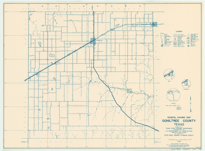

Print $20.00
General Highway Map, Ochiltree County, Texas
1940
Size: 18.2 x 24.8 inches
79211
General Highway Map, Ochiltree County, Texas


Print $20.00
General Highway Map, Ochiltree County, Texas
1961
Size: 18.2 x 24.3 inches
79618
Hansford County Sketch File 1


Print $7.00
- Digital $50.00
Hansford County Sketch File 1
1888
Size: 39.0 x 31.3 inches
10475
Hansford County Sketch File 2


Print $13.00
- Digital $50.00
Hansford County Sketch File 2
1901
Size: 76.7 x 25.5 inches
10476
Hemphill County Rolled Sketch 2
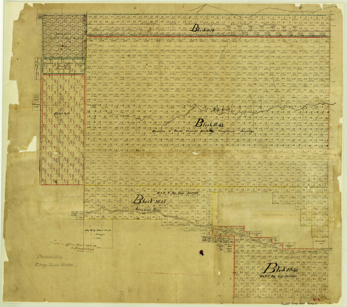

Print $20.00
- Digital $50.00
Hemphill County Rolled Sketch 2
Size: 26.4 x 29.8 inches
6185
Hutchinson County Rolled Sketch 2


Print $20.00
- Digital $50.00
Hutchinson County Rolled Sketch 2
Size: 36.1 x 42.0 inches
76069
Hutchinson County Rolled Sketch 29
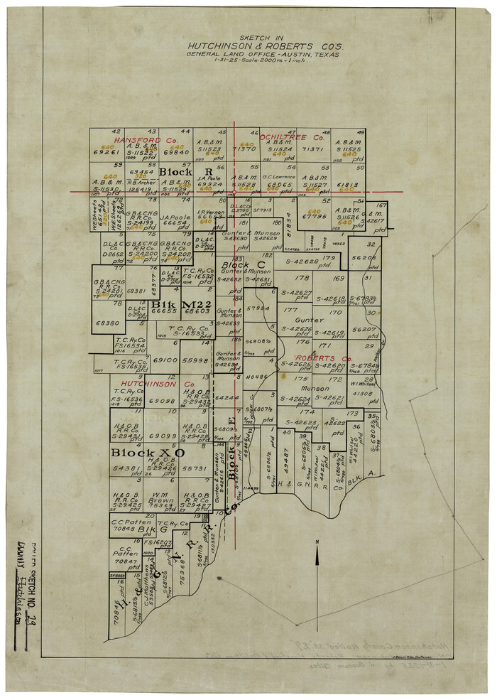

Print $20.00
- Digital $50.00
Hutchinson County Rolled Sketch 29
1925
Size: 19.3 x 13.9 inches
6291
Hutchinson County Sketch File 20m


Print $20.00
- Digital $50.00
Hutchinson County Sketch File 20m
Size: 36.2 x 43.6 inches
10501
Lipscomb County Rolled Sketch 2


Print $20.00
- Digital $50.00
Lipscomb County Rolled Sketch 2
1886
Size: 24.1 x 30.2 inches
6628
Lipscomb County Rolled Sketch 4


Print $40.00
- Digital $50.00
Lipscomb County Rolled Sketch 4
Size: 100.5 x 22.4 inches
9450
Lipscomb County Rolled Sketch 7


Print $20.00
- Digital $50.00
Lipscomb County Rolled Sketch 7
1968
Size: 23.6 x 23.4 inches
6630
Lipscomb County Working Sketch 2


Print $20.00
- Digital $50.00
Lipscomb County Working Sketch 2
1959
Size: 33.4 x 36.6 inches
70578
Map of Ochiltree County, Texas


Print $20.00
- Digital $50.00
Map of Ochiltree County, Texas
Size: 17.9 x 14.6 inches
4610
Ochiltree County Boundary File 1
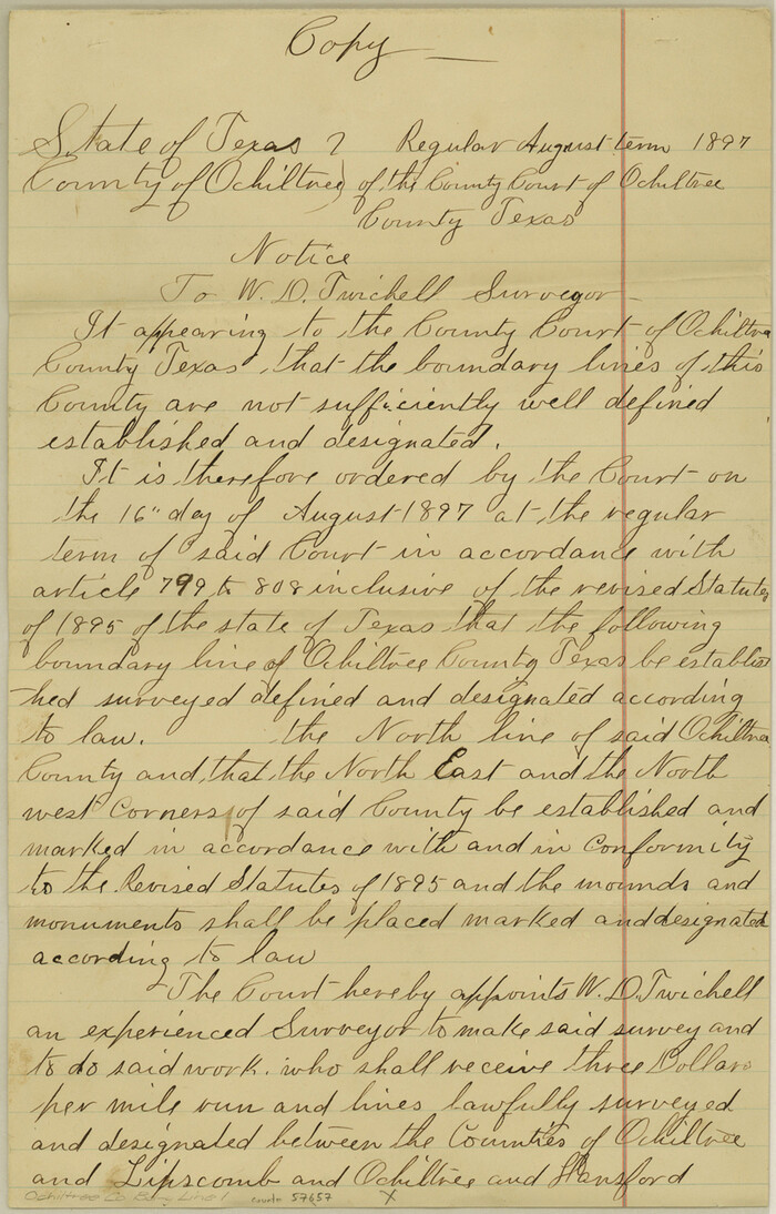

Print $14.00
- Digital $50.00
Ochiltree County Boundary File 1
Size: 12.7 x 8.2 inches
57657
Ochiltree County Boundary File 10


Print $24.00
- Digital $50.00
Ochiltree County Boundary File 10
Size: 11.2 x 8.7 inches
57728
Ochiltree County Boundary File 1a


Print $4.00
- Digital $50.00
Ochiltree County Boundary File 1a
Size: 11.0 x 8.5 inches
57664
Ochiltree County Boundary File 1b
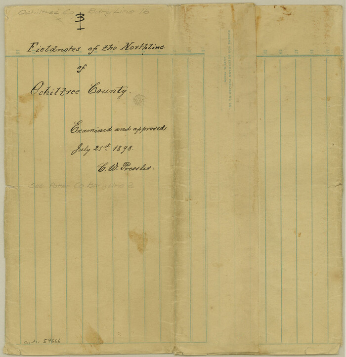

Print $16.00
- Digital $50.00
Ochiltree County Boundary File 1b
Size: 8.6 x 8.4 inches
57666
Ochiltree County Boundary File 1c
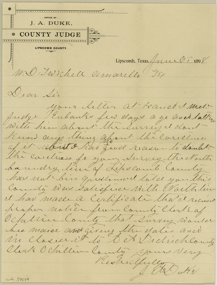

Print $2.00
- Digital $50.00
Ochiltree County Boundary File 1c
Size: 10.6 x 8.1 inches
57674
Ochiltree County Boundary File 2


Print $4.00
- Digital $50.00
Ochiltree County Boundary File 2
Size: 7.7 x 8.6 inches
57675
Block No. 45 of the H. & T. C. R.R. Co. and Block No. 4T of the T. & N. O. R.R. Co. in Hansford and Ochiltree Cos. as resurveyed by J.L. Long, State Surveyor


Print $20.00
- Digital $50.00
Block No. 45 of the H. & T. C. R.R. Co. and Block No. 4T of the T. & N. O. R.R. Co. in Hansford and Ochiltree Cos. as resurveyed by J.L. Long, State Surveyor
1888
-
Size
34.1 x 28.1 inches
-
Map/Doc
75820
-
Creation Date
1888
General Highway Map, Ochiltree County, Texas


Print $20.00
General Highway Map, Ochiltree County, Texas
1940
-
Size
18.2 x 24.8 inches
-
Map/Doc
79211
-
Creation Date
1940
General Highway Map, Ochiltree County, Texas


Print $20.00
General Highway Map, Ochiltree County, Texas
1961
-
Size
18.2 x 24.3 inches
-
Map/Doc
79618
-
Creation Date
1961
Hansford County Sketch File 1


Print $7.00
- Digital $50.00
Hansford County Sketch File 1
1888
-
Size
39.0 x 31.3 inches
-
Map/Doc
10475
-
Creation Date
1888
Hansford County Sketch File 2


Print $13.00
- Digital $50.00
Hansford County Sketch File 2
1901
-
Size
76.7 x 25.5 inches
-
Map/Doc
10476
-
Creation Date
1901
Hemphill County Rolled Sketch 2


Print $20.00
- Digital $50.00
Hemphill County Rolled Sketch 2
-
Size
26.4 x 29.8 inches
-
Map/Doc
6185
Hutchinson County Rolled Sketch 2


Print $20.00
- Digital $50.00
Hutchinson County Rolled Sketch 2
-
Size
36.1 x 42.0 inches
-
Map/Doc
76069
Hutchinson County Rolled Sketch 29


Print $20.00
- Digital $50.00
Hutchinson County Rolled Sketch 29
1925
-
Size
19.3 x 13.9 inches
-
Map/Doc
6291
-
Creation Date
1925
Hutchinson County Sketch File 20m


Print $20.00
- Digital $50.00
Hutchinson County Sketch File 20m
-
Size
36.2 x 43.6 inches
-
Map/Doc
10501
Lipscomb County Rolled Sketch 2


Print $20.00
- Digital $50.00
Lipscomb County Rolled Sketch 2
1886
-
Size
24.1 x 30.2 inches
-
Map/Doc
6628
-
Creation Date
1886
Lipscomb County Rolled Sketch 4


Print $40.00
- Digital $50.00
Lipscomb County Rolled Sketch 4
-
Size
100.5 x 22.4 inches
-
Map/Doc
9450
Lipscomb County Rolled Sketch 7


Print $20.00
- Digital $50.00
Lipscomb County Rolled Sketch 7
1968
-
Size
23.6 x 23.4 inches
-
Map/Doc
6630
-
Creation Date
1968
Lipscomb County Working Sketch 2


Print $20.00
- Digital $50.00
Lipscomb County Working Sketch 2
1959
-
Size
33.4 x 36.6 inches
-
Map/Doc
70578
-
Creation Date
1959
Map of Ochiltree County, Texas


Print $20.00
- Digital $50.00
Map of Ochiltree County, Texas
-
Size
17.9 x 14.6 inches
-
Map/Doc
4610
Ochiltree County
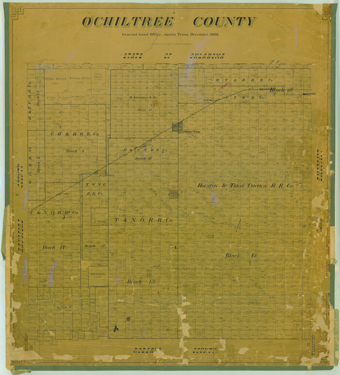

Print $20.00
- Digital $50.00
Ochiltree County
1908
-
Size
40.9 x 37.1 inches
-
Map/Doc
16782
-
Creation Date
1908
Ochiltree County
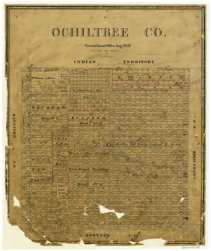

Print $20.00
- Digital $50.00
Ochiltree County
1889
-
Size
23.1 x 19.5 inches
-
Map/Doc
3923
-
Creation Date
1889
Ochiltree County
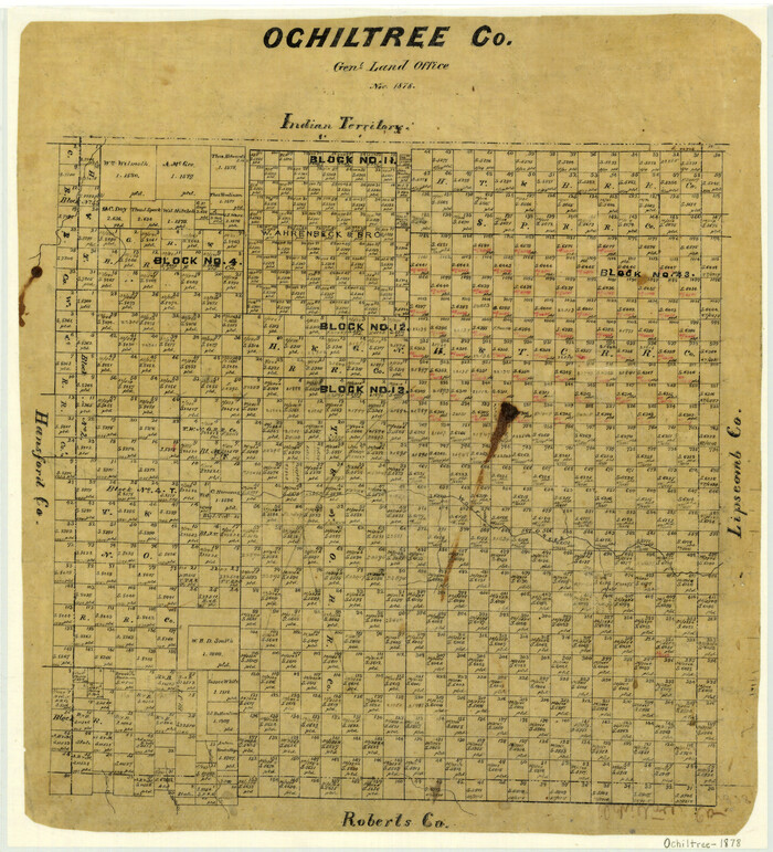

Print $20.00
- Digital $50.00
Ochiltree County
1878
-
Size
19.2 x 17.5 inches
-
Map/Doc
3924
-
Creation Date
1878
Ochiltree County
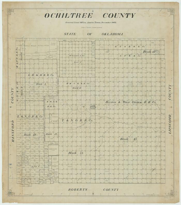

Print $20.00
- Digital $50.00
Ochiltree County
1908
-
Size
42.6 x 37.5 inches
-
Map/Doc
66958
-
Creation Date
1908
Ochiltree County
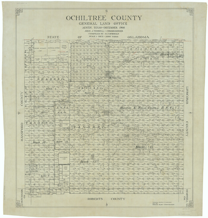

Print $20.00
- Digital $50.00
Ochiltree County
1908
-
Size
42.5 x 40.6 inches
-
Map/Doc
66959
-
Creation Date
1908
Ochiltree County
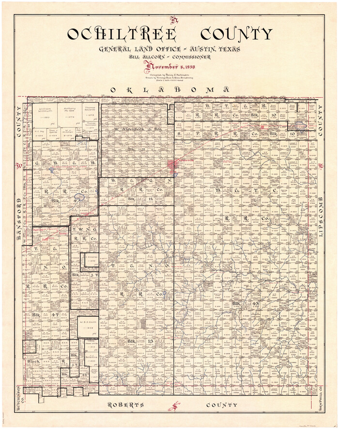

Print $20.00
- Digital $50.00
Ochiltree County
1958
-
Size
43.4 x 34.4 inches
-
Map/Doc
73253
-
Creation Date
1958
Ochiltree County


Print $20.00
- Digital $50.00
Ochiltree County
1958
-
Size
41.0 x 33.1 inches
-
Map/Doc
77386
-
Creation Date
1958
Ochiltree County
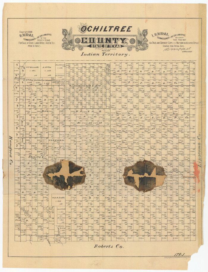

Print $20.00
- Digital $50.00
Ochiltree County
1888
-
Size
17.3 x 22.6 inches
-
Map/Doc
91401
-
Creation Date
1888
Ochiltree County


Print $20.00
- Digital $50.00
Ochiltree County
-
Size
14.3 x 16.5 inches
-
Map/Doc
91491
Ochiltree County
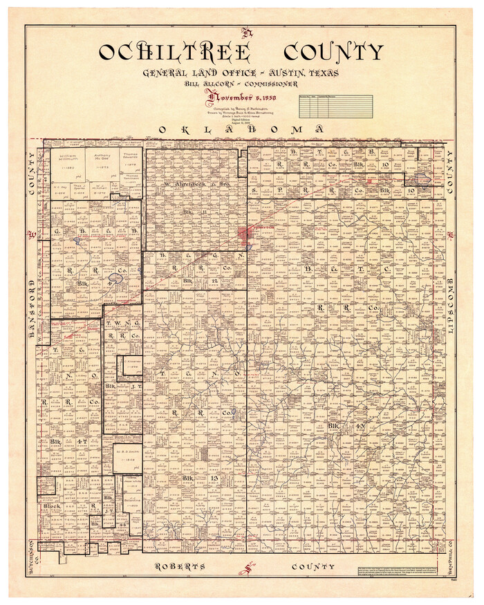

Print $20.00
- Digital $50.00
Ochiltree County
1958
-
Size
44.4 x 35.5 inches
-
Map/Doc
95603
-
Creation Date
1958
Ochiltree County Boundary File 1


Print $14.00
- Digital $50.00
Ochiltree County Boundary File 1
-
Size
12.7 x 8.2 inches
-
Map/Doc
57657
Ochiltree County Boundary File 10


Print $24.00
- Digital $50.00
Ochiltree County Boundary File 10
-
Size
11.2 x 8.7 inches
-
Map/Doc
57728
Ochiltree County Boundary File 1a


Print $4.00
- Digital $50.00
Ochiltree County Boundary File 1a
-
Size
11.0 x 8.5 inches
-
Map/Doc
57664
Ochiltree County Boundary File 1b


Print $16.00
- Digital $50.00
Ochiltree County Boundary File 1b
-
Size
8.6 x 8.4 inches
-
Map/Doc
57666
Ochiltree County Boundary File 1c


Print $2.00
- Digital $50.00
Ochiltree County Boundary File 1c
-
Size
10.6 x 8.1 inches
-
Map/Doc
57674
Ochiltree County Boundary File 2


Print $4.00
- Digital $50.00
Ochiltree County Boundary File 2
-
Size
7.7 x 8.6 inches
-
Map/Doc
57675