
Roberts County Sketch File 10
2016
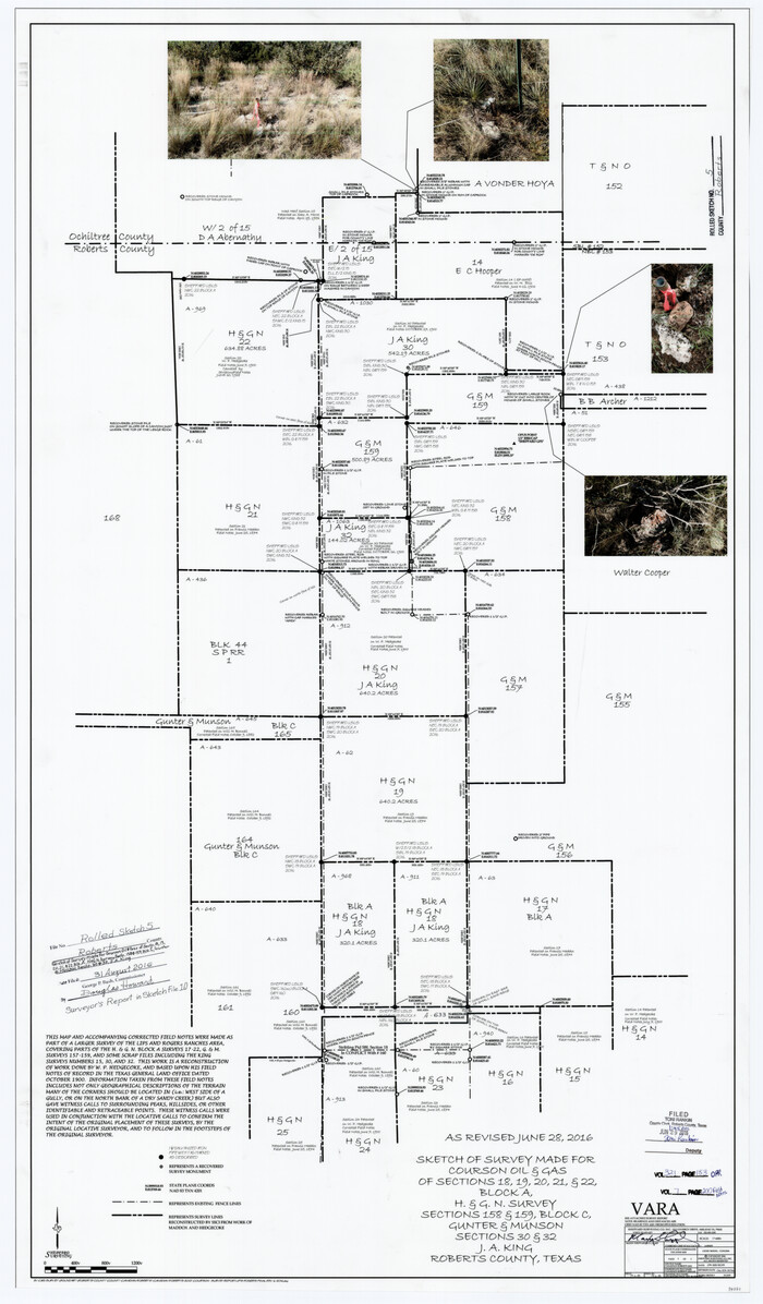
Roberts County Rolled Sketch 5
2015

Ochiltree County Sketch File 12
1990
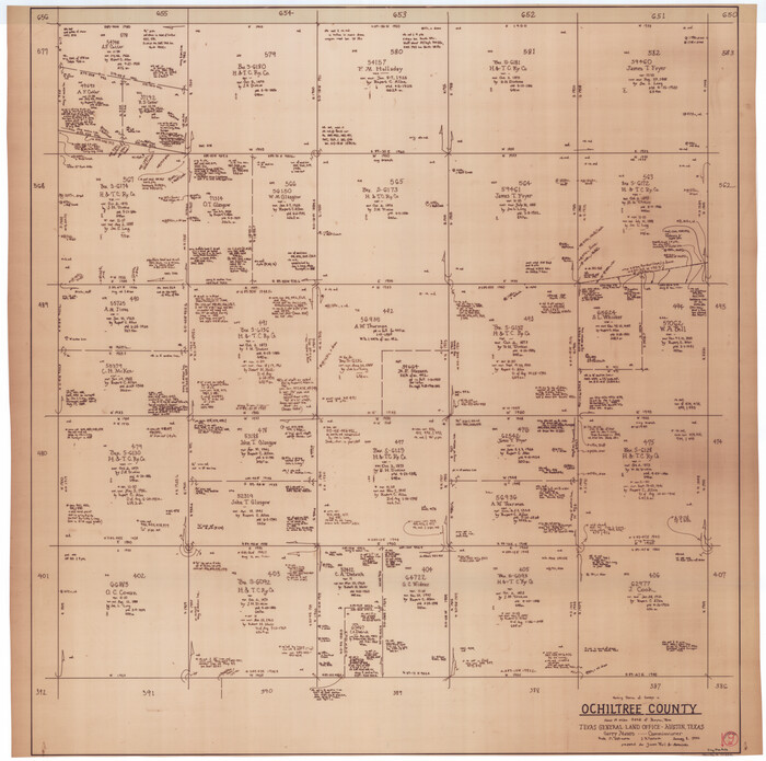
Ochiltree County Working Sketch 9
1990
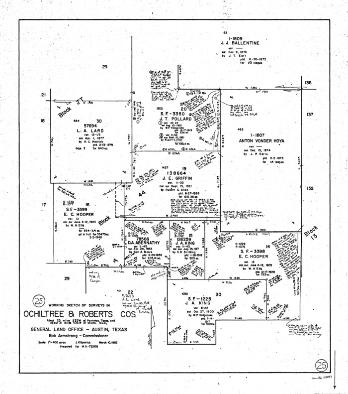
Roberts County Working Sketch 25
1982
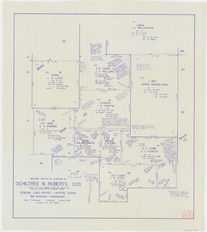
Ochiltree County Working Sketch 8
1982

Lipscomb County Rolled Sketch 7
1968
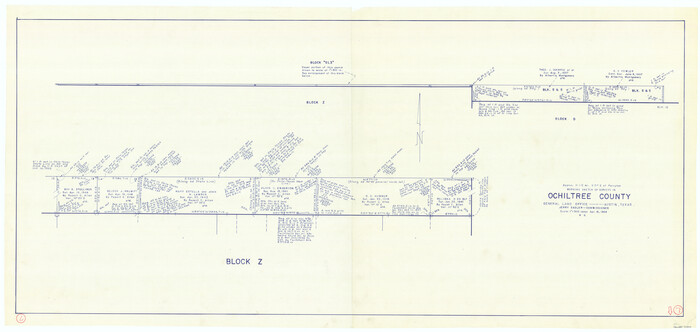
Ochiltree County Working Sketch 7
1968
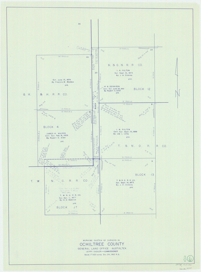
Ochiltree County Working Sketch 6
1962

Ochiltree County Working Sketch 5
1961

Ochiltree County Working Sketch 4
1961

Ochiltree County Working Sketch 3
1961

General Highway Map, Ochiltree County, Texas
1961
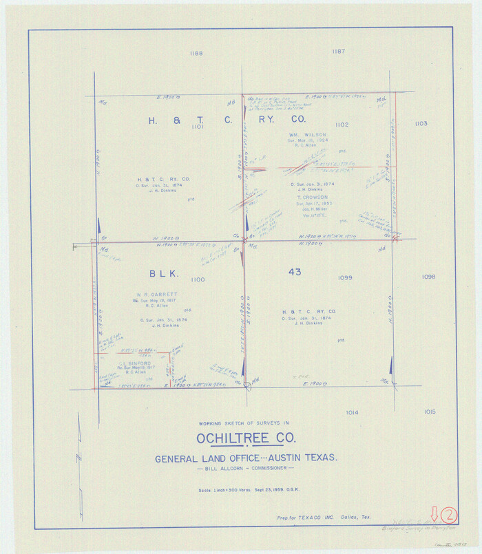
Ochiltree County Working Sketch 2
1959

Lipscomb County Working Sketch 2
1959
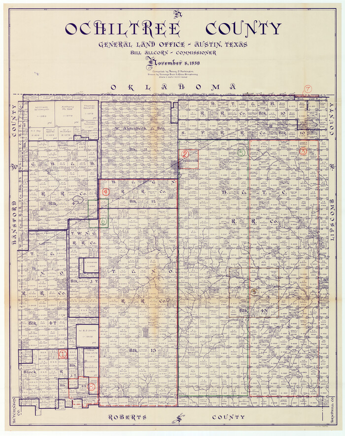
Ochiltree County Working Sketch Graphic Index
1958

Ochiltree County Working Sketch 1
1954

Roberts County Working Sketch 4
1945

Ochiltree County Rolled Sketch 1
1942
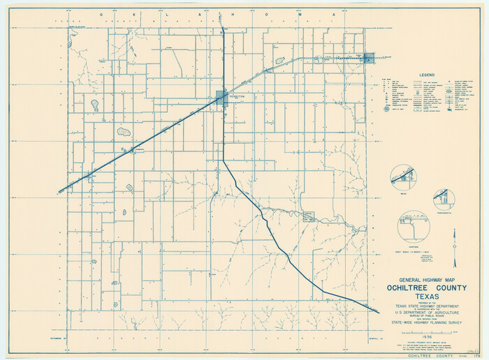
General Highway Map, Ochiltree County, Texas
1940
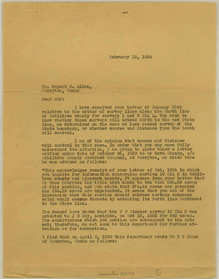
Ochiltree County Sketch File 9
1934

Ochiltree County Sketch File 8
1933

Ochiltree County Sketch File 6
1930
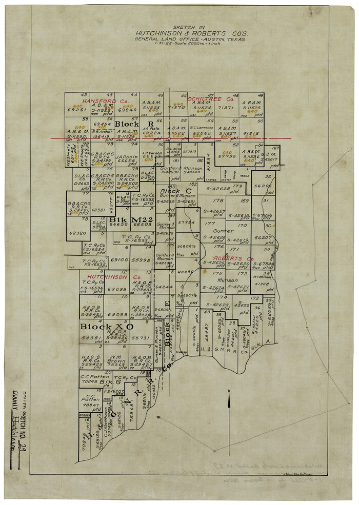
Hutchinson County Rolled Sketch 29
1925
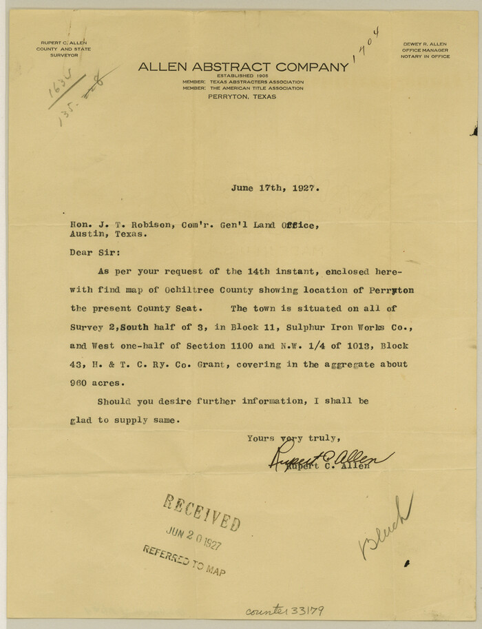
Ochiltree County Sketch File 4
1915
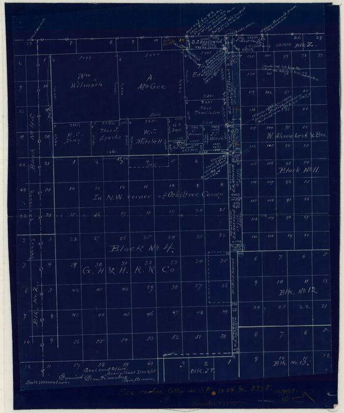
Ochiltree County Sketch File 3
1908

Roberts County Sketch File 10
2016
-
Size
11.0 x 8.5 inches
-
Map/Doc
94070
-
Creation Date
2016

Roberts County Rolled Sketch 5
2015
-
Size
42.6 x 25.0 inches
-
Map/Doc
94071
-
Creation Date
2015

Ochiltree County Sketch File 12
1990
-
Size
11.2 x 8.5 inches
-
Map/Doc
33201
-
Creation Date
1990

Ochiltree County Working Sketch 9
1990
-
Size
37.1 x 37.4 inches
-
Map/Doc
71322
-
Creation Date
1990

Roberts County Working Sketch 25
1982
-
Size
23.0 x 20.4 inches
-
Map/Doc
63551
-
Creation Date
1982

Ochiltree County Working Sketch 8
1982
-
Size
23.4 x 20.8 inches
-
Map/Doc
71321
-
Creation Date
1982

Lipscomb County Rolled Sketch 7
1968
-
Size
23.6 x 23.4 inches
-
Map/Doc
6630
-
Creation Date
1968

Ochiltree County Working Sketch 7
1968
-
Size
26.8 x 56.6 inches
-
Map/Doc
71320
-
Creation Date
1968

Ochiltree County Working Sketch 6
1962
-
Size
31.1 x 22.9 inches
-
Map/Doc
71319
-
Creation Date
1962

Ochiltree County Working Sketch 5
1961
-
Size
110.0 x 37.3 inches
-
Map/Doc
71318
-
Creation Date
1961

Ochiltree County Working Sketch 4
1961
-
Size
89.2 x 38.4 inches
-
Map/Doc
71317
-
Creation Date
1961

Ochiltree County Working Sketch 3
1961
-
Size
111.8 x 37.5 inches
-
Map/Doc
71316
-
Creation Date
1961

General Highway Map, Ochiltree County, Texas
1961
-
Size
18.2 x 24.3 inches
-
Map/Doc
79618
-
Creation Date
1961

Ochiltree County Working Sketch 2
1959
-
Size
23.9 x 20.8 inches
-
Map/Doc
71315
-
Creation Date
1959

Lipscomb County Working Sketch 2
1959
-
Size
33.4 x 36.6 inches
-
Map/Doc
70578
-
Creation Date
1959
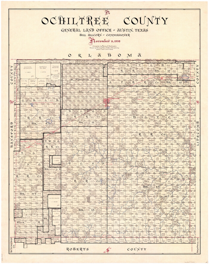
Ochiltree County
1958
-
Size
43.4 x 34.4 inches
-
Map/Doc
73253
-
Creation Date
1958

Ochiltree County Working Sketch Graphic Index
1958
-
Size
41.5 x 32.8 inches
-
Map/Doc
76656
-
Creation Date
1958

Ochiltree County
1958
-
Size
41.0 x 33.1 inches
-
Map/Doc
77386
-
Creation Date
1958
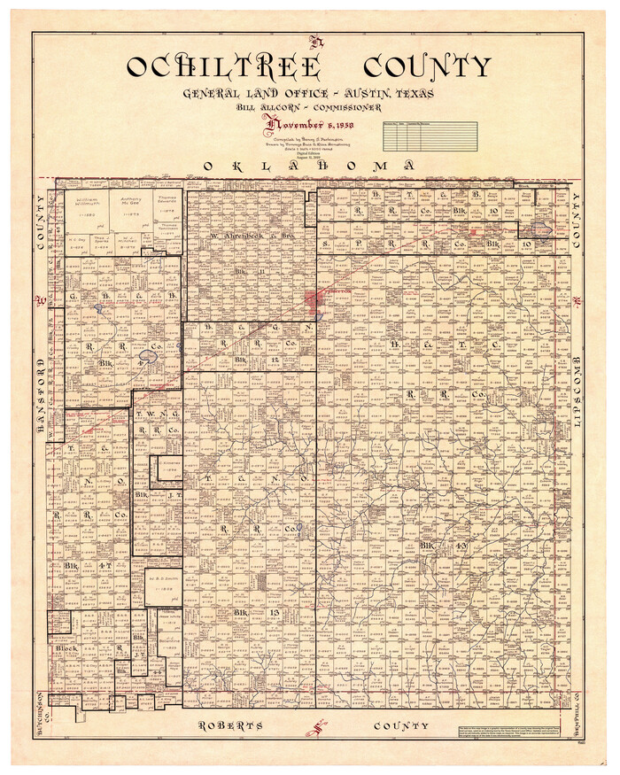
Ochiltree County
1958
-
Size
44.4 x 35.5 inches
-
Map/Doc
95603
-
Creation Date
1958

Ochiltree County Working Sketch 1
1954
-
Size
16.7 x 11.6 inches
-
Map/Doc
71314
-
Creation Date
1954

Roberts County Working Sketch 4
1945
-
Size
37.1 x 32.8 inches
-
Map/Doc
63530
-
Creation Date
1945

Ochiltree County Rolled Sketch 1
1942
-
Size
29.3 x 38.8 inches
-
Map/Doc
9655
-
Creation Date
1942

General Highway Map, Ochiltree County, Texas
1940
-
Size
18.2 x 24.8 inches
-
Map/Doc
79211
-
Creation Date
1940

Ochiltree County Sketch File 9
1934
-
Size
11.1 x 8.8 inches
-
Map/Doc
33194
-
Creation Date
1934

Ochiltree County Sketch File 8
1933
-
Size
11.2 x 8.7 inches
-
Map/Doc
33186
-
Creation Date
1933

Ochiltree County Sketch File 6
1930
-
Size
9.5 x 32.7 inches
-
Map/Doc
42203
-
Creation Date
1930

Hutchinson County Rolled Sketch 29
1925
-
Size
19.3 x 13.9 inches
-
Map/Doc
6291
-
Creation Date
1925

Ochiltree County Sketch File 4
1915
-
Size
11.3 x 8.7 inches
-
Map/Doc
33179
-
Creation Date
1915

Ochiltree County Sketch File 3
1908
-
Size
15.4 x 12.9 inches
-
Map/Doc
33177
-
Creation Date
1908
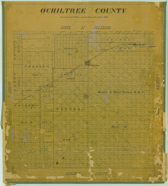
Ochiltree County
1908
-
Size
40.9 x 37.1 inches
-
Map/Doc
16782
-
Creation Date
1908