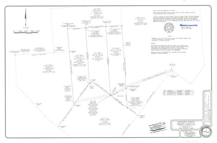
Polk County Rolled Sketch 34
2023
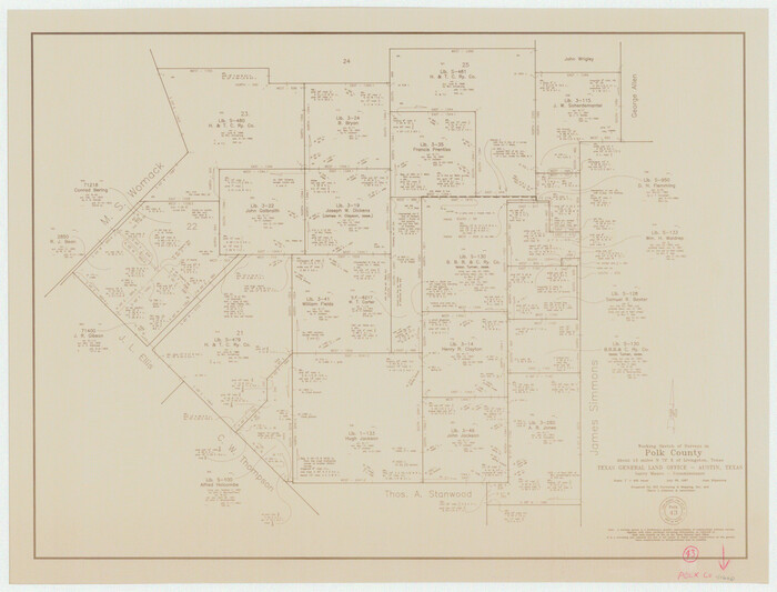
Polk County Working Sketch 43
1997
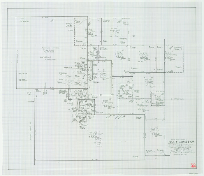
Polk County Working Sketch 42
1992
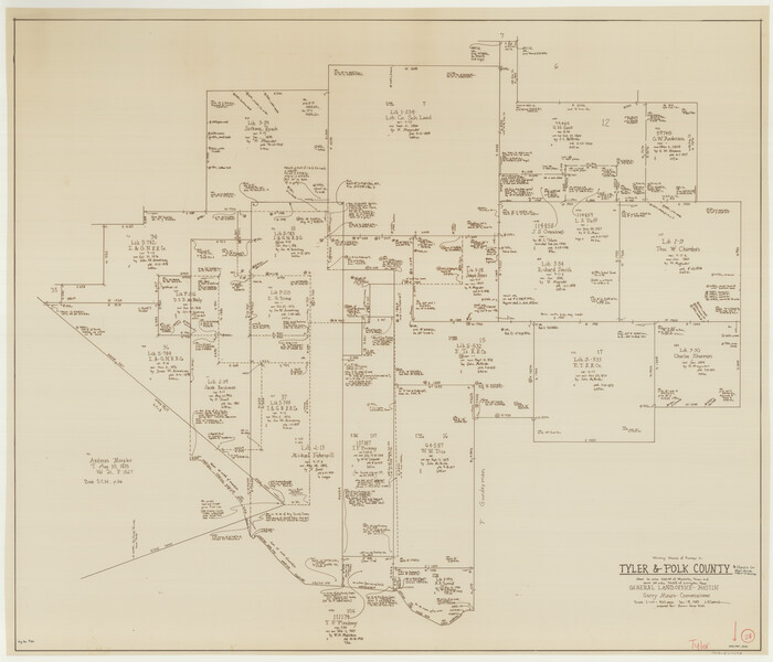
Tyler County Working Sketch 24
1989
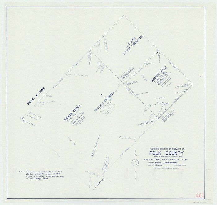
Polk County Working Sketch 41
1985
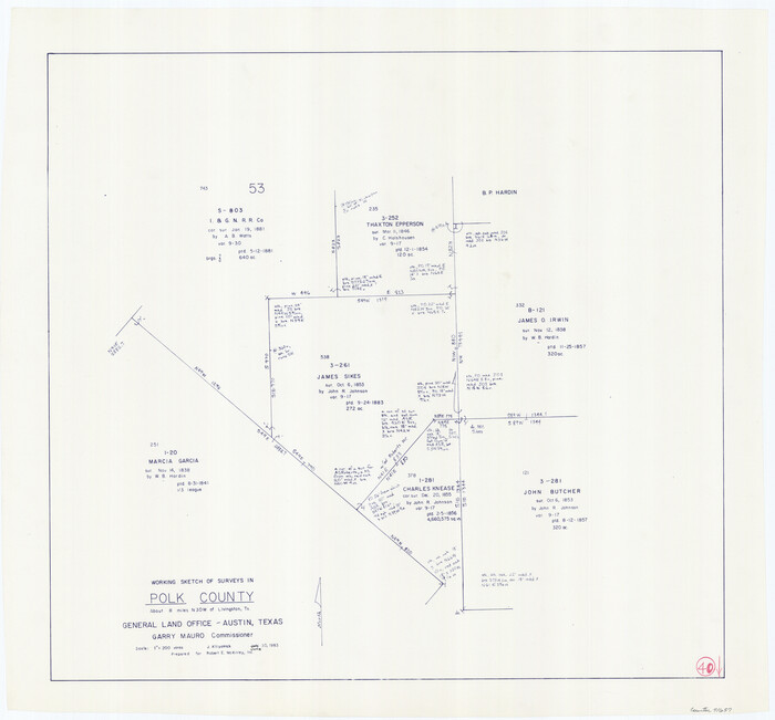
Polk County Working Sketch 40
1983
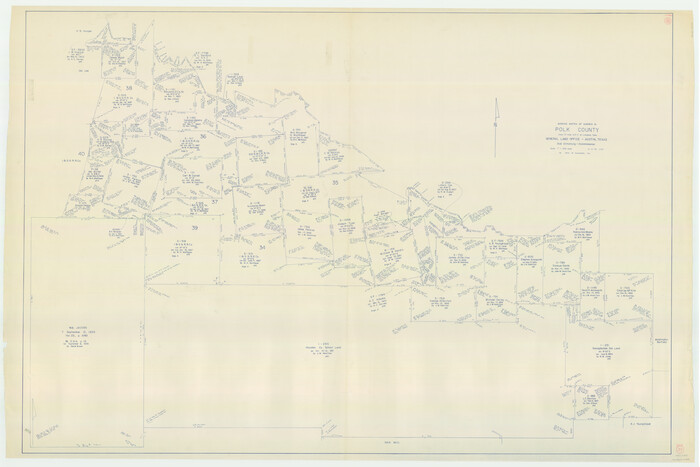
Polk County Working Sketch 39
1978
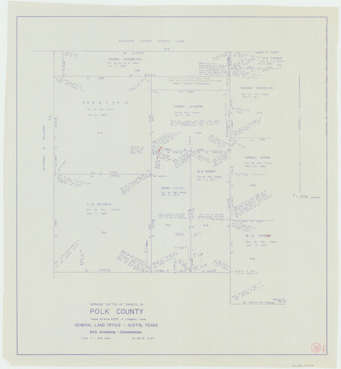
Polk County Working Sketch 38
1975

Polk County Working Sketch 37
1974
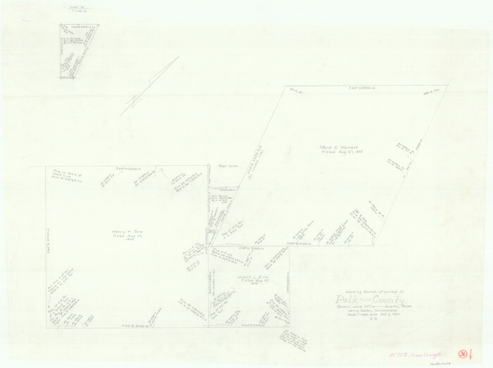
Polk County Working Sketch 36
1963
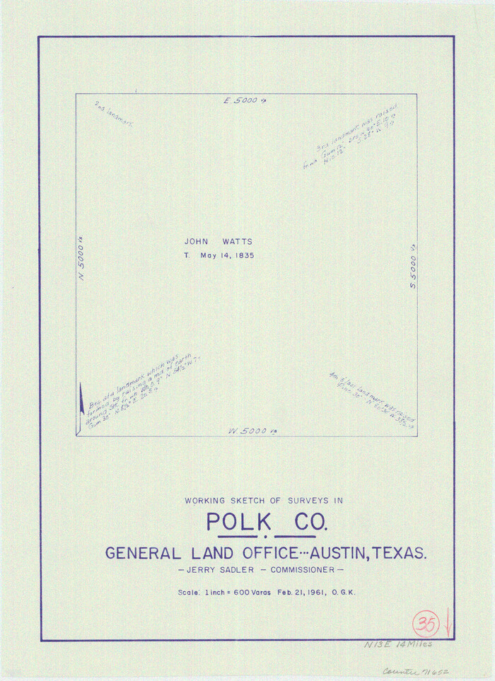
Polk County Working Sketch 35
1961
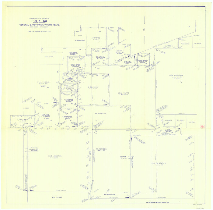
Polk County Working Sketch 34
1961

General Highway Map, Polk County, Texas
1961

General Highway Map, Polk County, Texas
1961
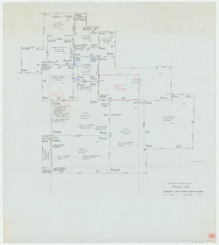
Polk County Working Sketch 33a
1960
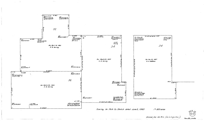
Polk County Working Sketch 33b
1960
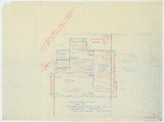
Polk County Working Sketch 30
1960

Polk County Working Sketch 31
1960
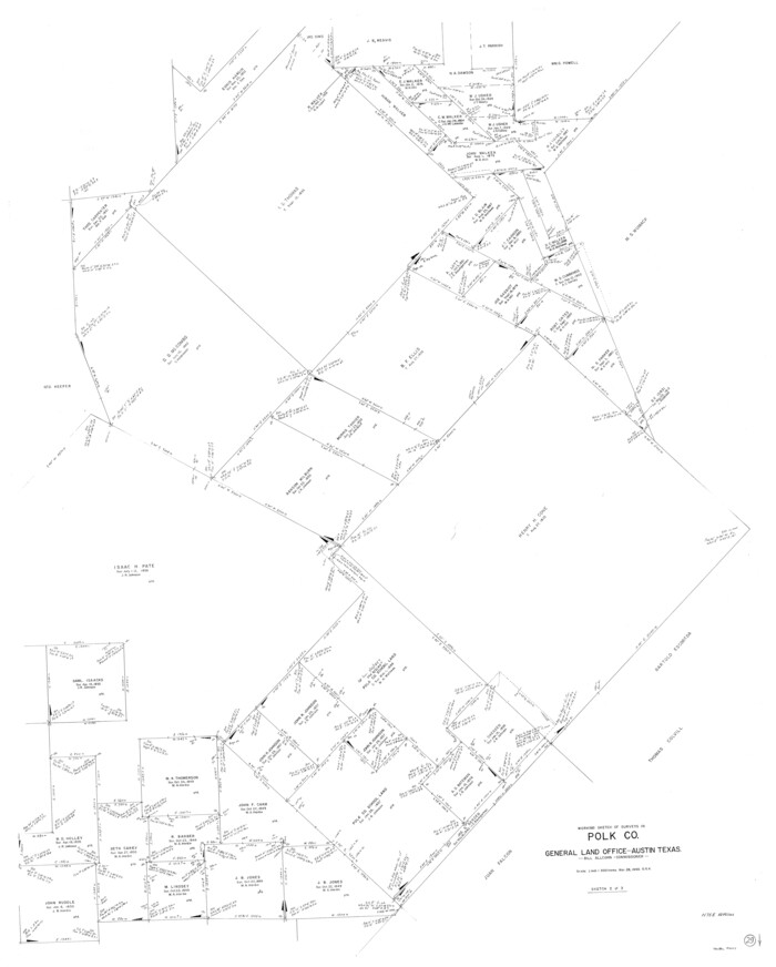
Polk County Working Sketch 29
1960

Polk County Working Sketch 27
1960
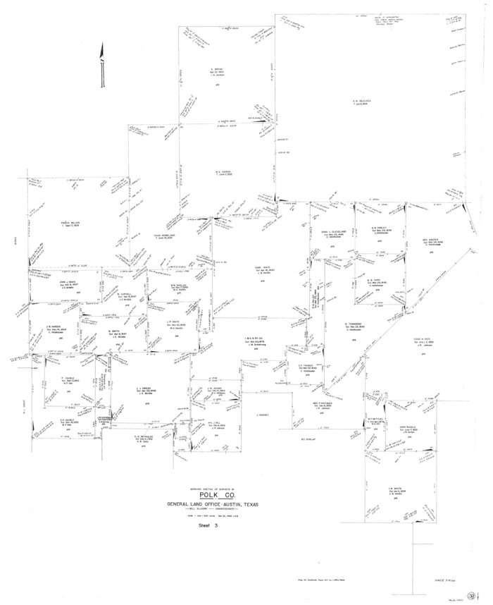
Polk County Working Sketch 28
1960
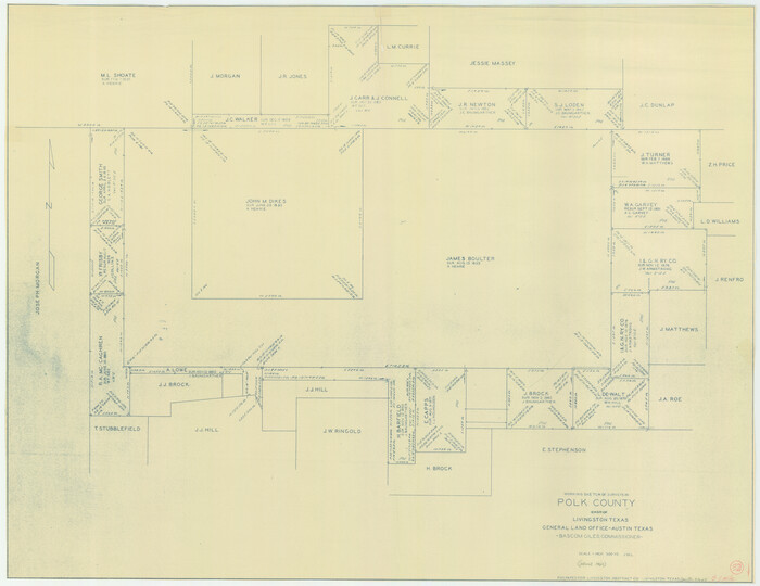
Polk County Working Sketch 32
1960
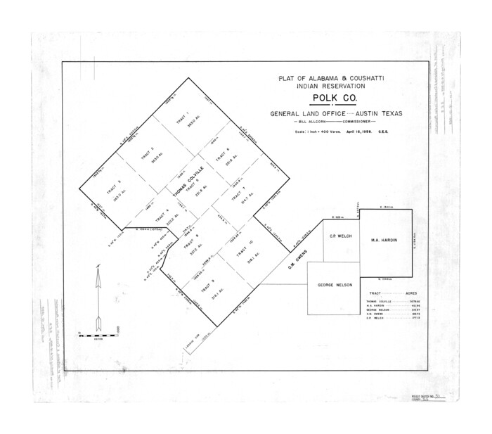
Polk County Rolled Sketch 30
1958

Polk County Working Sketch 26
1958
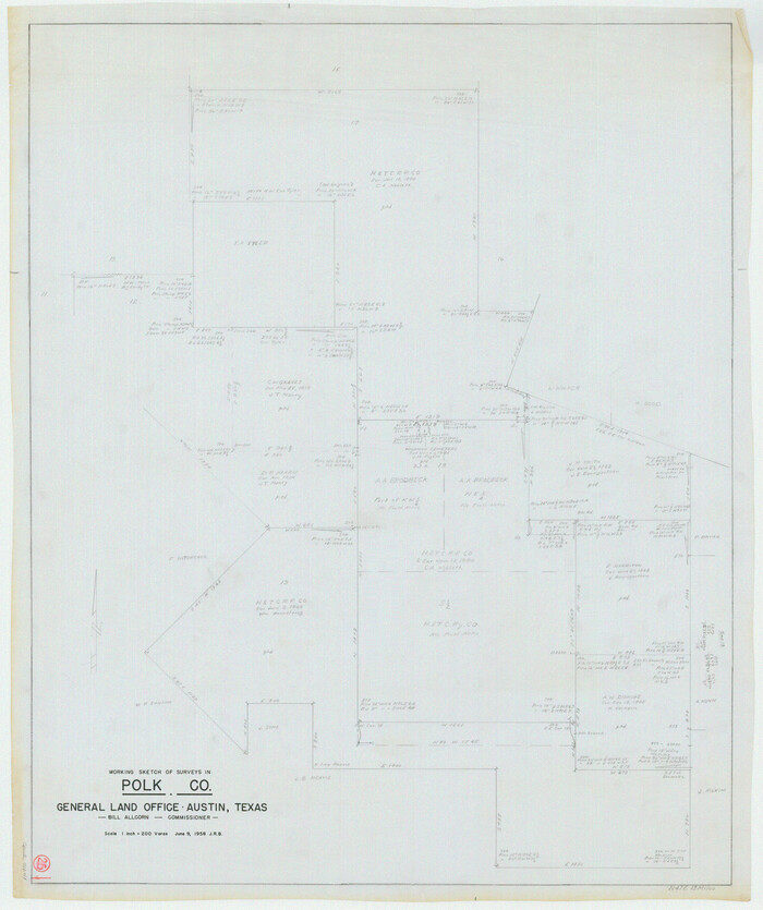
Polk County Working Sketch 25
1958

Polk County Sketch File 44
1958
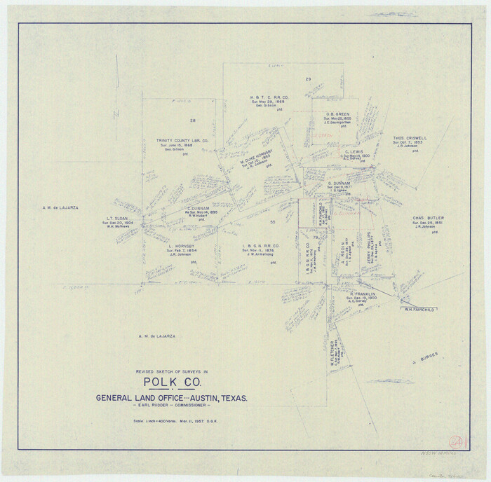
Polk County Working Sketch 24
1957

Polk County Working Sketch 23a
1957

Polk County Working Sketch 23b
1957
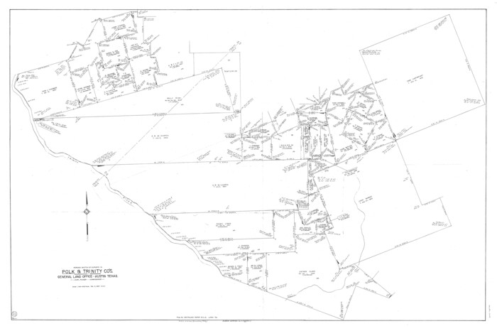
Polk County Working Sketch 22
1957

Polk County Rolled Sketch 34
2023
-
Size
23.9 x 36.2 inches
-
Map/Doc
97193
-
Creation Date
2023

Polk County Working Sketch 43
1997
-
Size
23.2 x 30.5 inches
-
Map/Doc
71660
-
Creation Date
1997

Polk County Working Sketch 42
1992
-
Size
30.8 x 35.7 inches
-
Map/Doc
71659
-
Creation Date
1992

Tyler County Working Sketch 24
1989
-
Size
34.8 x 40.6 inches
-
Map/Doc
69494
-
Creation Date
1989

Polk County Working Sketch 41
1985
-
Size
26.3 x 27.8 inches
-
Map/Doc
71658
-
Creation Date
1985

Polk County Working Sketch 40
1983
-
Size
25.4 x 27.3 inches
-
Map/Doc
71657
-
Creation Date
1983

Polk County Working Sketch 39
1978
-
Size
43.7 x 65.6 inches
-
Map/Doc
71656
-
Creation Date
1978

Polk County Working Sketch 38
1975
-
Size
25.4 x 23.5 inches
-
Map/Doc
71655
-
Creation Date
1975

Polk County Working Sketch 37
1974
-
Size
31.3 x 38.2 inches
-
Map/Doc
71654
-
Creation Date
1974

Polk County Working Sketch 36
1963
-
Size
28.4 x 38.1 inches
-
Map/Doc
71653
-
Creation Date
1963

Polk County Working Sketch 35
1961
-
Size
16.7 x 12.1 inches
-
Map/Doc
71652
-
Creation Date
1961

Polk County Working Sketch 34
1961
-
Size
41.3 x 42.0 inches
-
Map/Doc
71651
-
Creation Date
1961

General Highway Map, Polk County, Texas
1961
-
Size
18.2 x 24.4 inches
-
Map/Doc
79629
-
Creation Date
1961

General Highway Map, Polk County, Texas
1961
-
Size
18.1 x 24.5 inches
-
Map/Doc
79630
-
Creation Date
1961

Polk County Working Sketch 33a
1960
-
Size
30.7 x 27.4 inches
-
Map/Doc
71649
-
Creation Date
1960

Polk County Working Sketch 33b
1960
-
Size
14.9 x 24.8 inches
-
Map/Doc
71650
-
Creation Date
1960

Polk County Working Sketch 30
1960
-
Size
18.2 x 24.4 inches
-
Map/Doc
71646
-
Creation Date
1960

Polk County Working Sketch 31
1960
-
Size
18.2 x 24.4 inches
-
Map/Doc
71647
-
Creation Date
1960

Polk County Working Sketch 29
1960
-
Size
56.0 x 45.0 inches
-
Map/Doc
71645
-
Creation Date
1960

Polk County Working Sketch 27
1960
-
Size
45.9 x 51.2 inches
-
Map/Doc
71643
-
Creation Date
1960

Polk County Working Sketch 28
1960
-
Size
53.5 x 43.6 inches
-
Map/Doc
71644
-
Creation Date
1960

Polk County Working Sketch 32
1960
-
Size
28.8 x 37.3 inches
-
Map/Doc
71648
-
Creation Date
1960

Polk County Rolled Sketch 30
1958
-
Size
27.8 x 31.5 inches
-
Map/Doc
7316
-
Creation Date
1958

Polk County Working Sketch 26
1958
-
Size
19.0 x 24.8 inches
-
Map/Doc
71642
-
Creation Date
1958

Polk County Working Sketch 25
1958
-
Size
34.6 x 29.0 inches
-
Map/Doc
71641
-
Creation Date
1958

Polk County Sketch File 44
1958
-
Size
9.4 x 11.0 inches
-
Map/Doc
34297
-
Creation Date
1958

Polk County Working Sketch 24
1957
-
Size
24.8 x 25.3 inches
-
Map/Doc
71640
-
Creation Date
1957

Polk County Working Sketch 23a
1957
-
Size
32.9 x 54.1 inches
-
Map/Doc
71638
-
Creation Date
1957

Polk County Working Sketch 23b
1957
-
Size
28.8 x 54.6 inches
-
Map/Doc
71639
-
Creation Date
1957

Polk County Working Sketch 22
1957
-
Size
43.0 x 64.6 inches
-
Map/Doc
71637
-
Creation Date
1957