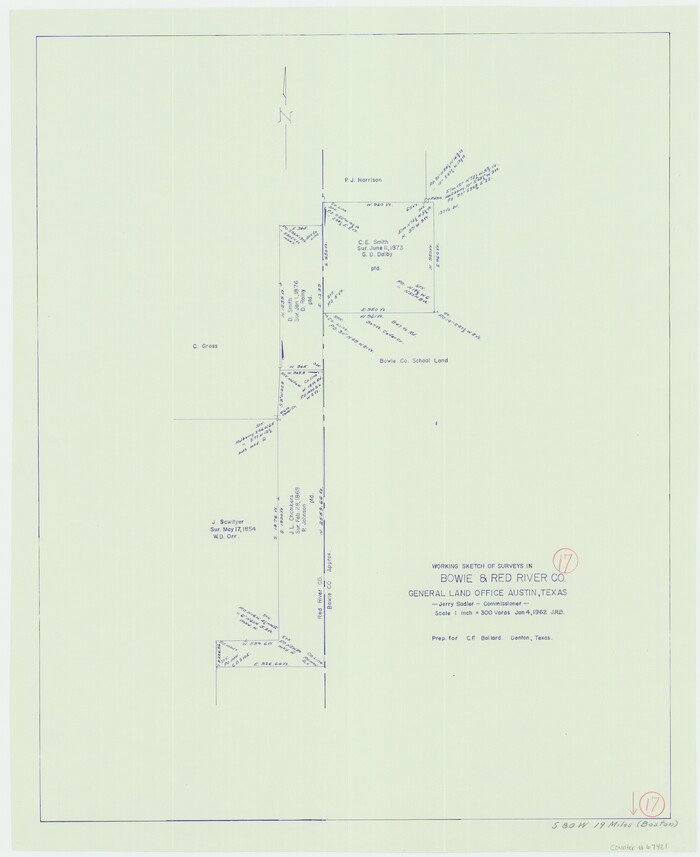
Bowie County Working Sketch 17
1962

Bowie County Working Sketch 18
1962
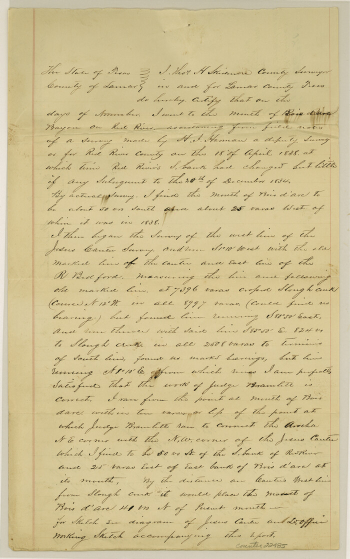
Fannin County Sketch File 20b
1890
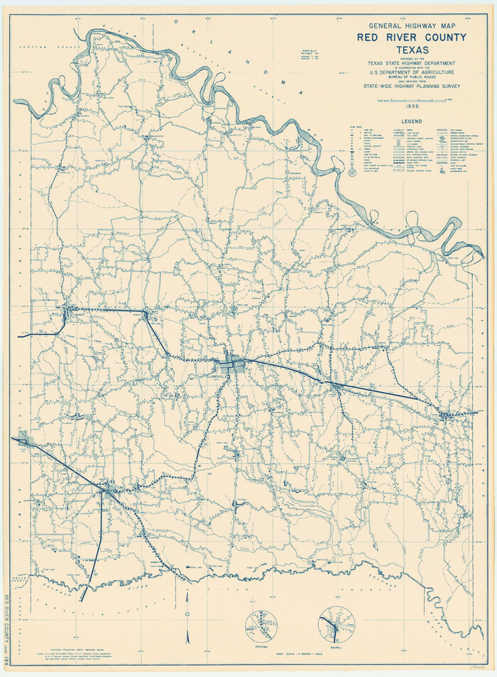
General Highway Map, Red River County, Texas
1940

General Highway Map, Red River County, Texas
1961
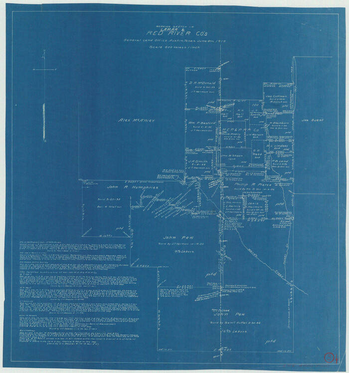
Lamar County Working Sketch 3
1919
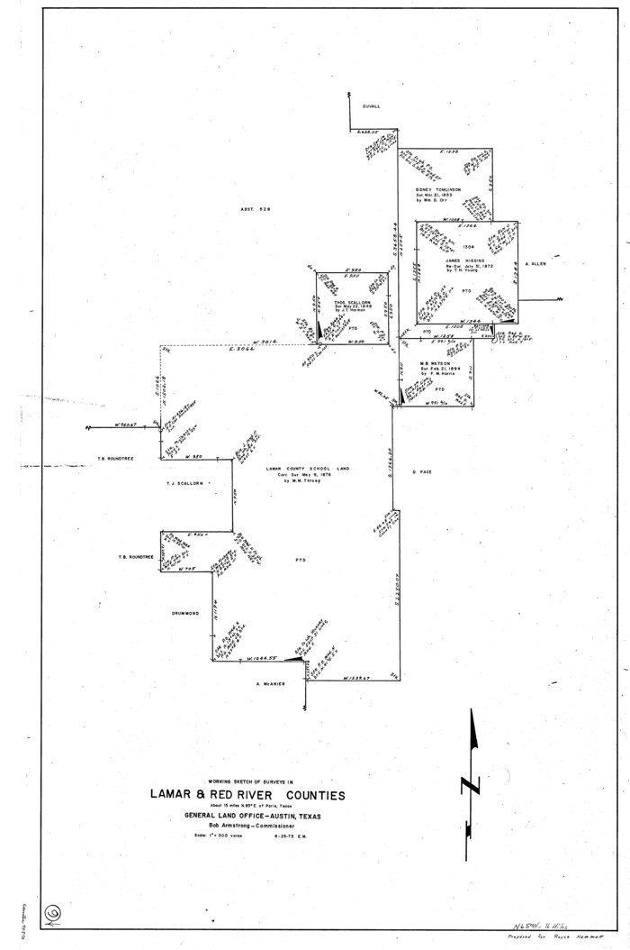
Lamar County Working Sketch 9
1975

Levee Improvement Districts Widths of Floodways - Sulphur River and Cuthand Creek
1924

Map Exhibiting the line of the Southern Trans-Continental R.R. from Marshall to Texarkana from Texarkana to Forth Worth
1872
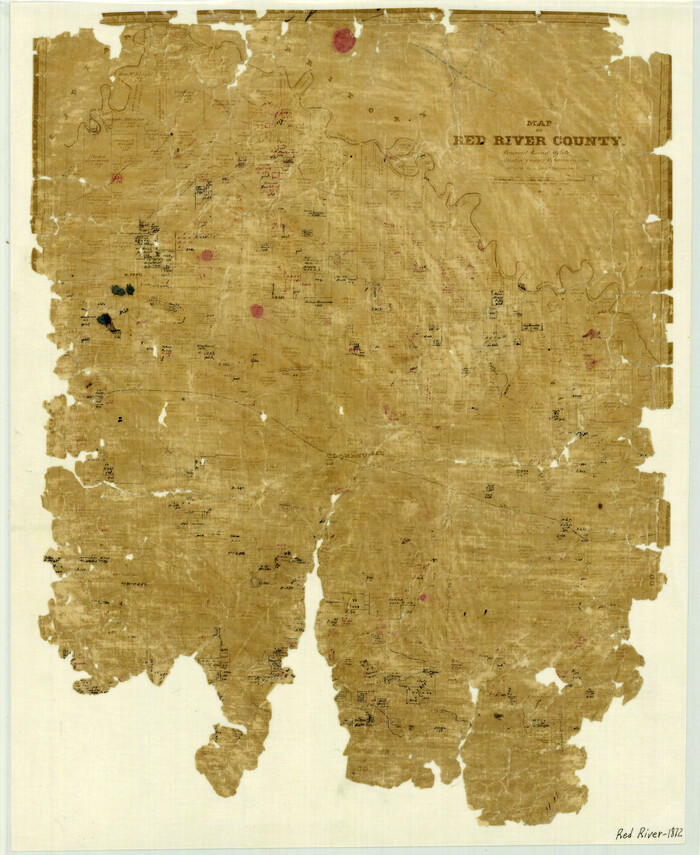
Map of Red River County
1872

Map of Red River County
1856
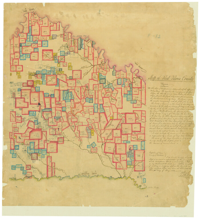
Map of Red River County
1842
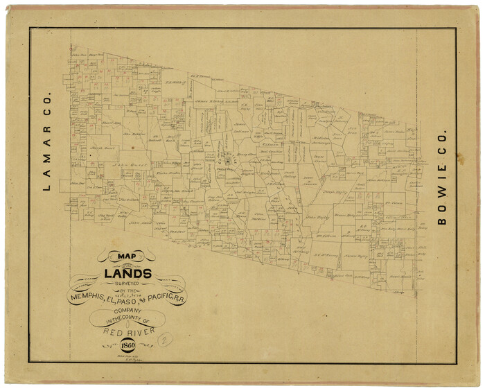
Map of the Lands Surveyed by the Memphis, El Paso & Pacific R.R. Company
1860

Map of the Recognised Line, M. El. P. & P. RR. from Texas & Arkansas State Line to Milam & Bexar Land District Line
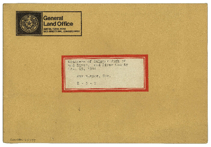
Meanders of Sulphur Fork of Red River, Red River County, Texas
1841

North East Corner of Lamar County

Red River County Red River District
1879

Red River County Rolled Sketch 10
2005
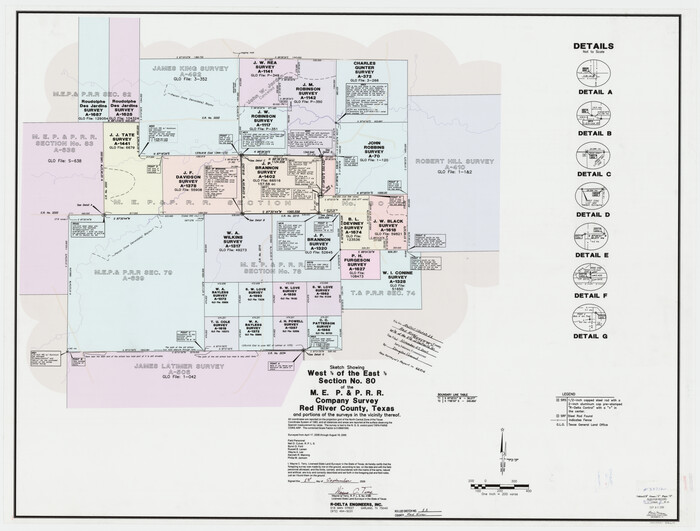
Red River County Rolled Sketch 11
2006

Bowie County Working Sketch 17
1962
-
Size
24.5 x 20.0 inches
-
Map/Doc
67421
-
Creation Date
1962

Bowie County Working Sketch 18
1962
-
Size
26.3 x 20.4 inches
-
Map/Doc
67422
-
Creation Date
1962

Fannin County Sketch File 20b
1890
-
Size
14.2 x 8.9 inches
-
Map/Doc
22485
-
Creation Date
1890

General Highway Map, Red River County, Texas
1940
-
Size
25.0 x 18.3 inches
-
Map/Doc
79226
-
Creation Date
1940

General Highway Map, Red River County, Texas
1961
-
Size
24.6 x 18.1 inches
-
Map/Doc
79637
-
Creation Date
1961

Lamar County Working Sketch 3
1919
-
Size
26.2 x 24.5 inches
-
Map/Doc
70264
-
Creation Date
1919

Lamar County Working Sketch 9
1975
-
Size
42.1 x 27.9 inches
-
Map/Doc
70270
-
Creation Date
1975

Levee Improvement Districts Widths of Floodways - Sulphur River and Cuthand Creek
1924
-
Size
15.4 x 38.6 inches
-
Map/Doc
65155
-
Creation Date
1924

Map Exhibiting the line of the Southern Trans-Continental R.R. from Marshall to Texarkana from Texarkana to Forth Worth
1872
-
Size
24.6 x 47.8 inches
-
Map/Doc
64241
-
Creation Date
1872

Map of Red River County
1872
-
Size
21.6 x 17.7 inches
-
Map/Doc
3979
-
Creation Date
1872

Map of Red River County
1856
-
Size
22.2 x 18.4 inches
-
Map/Doc
3981
-
Creation Date
1856

Map of Red River County
1842
-
Size
25.2 x 23.1 inches
-
Map/Doc
78369
-
Creation Date
1842

Map of the Lands Surveyed by the Memphis, El Paso & Pacific R.R. Company
1860
-
Size
17.7 x 21.7 inches
-
Map/Doc
4851
-
Creation Date
1860

Map of the Recognised Line, M. El. P. & P. RR. from Texas & Arkansas State Line to Milam & Bexar Land District Line
-
Size
15.3 x 89.4 inches
-
Map/Doc
64638

Meanders of Sulphur Fork of Red River, Red River County, Texas
1841
-
Size
6.8 x 9.7 inches
-
Map/Doc
65777
-
Creation Date
1841

North East Corner of Lamar County
-
Size
10.7 x 15.4 inches
-
Map/Doc
291

Red River Co.
1897
-
Size
46.8 x 36.0 inches
-
Map/Doc
16796
-
Creation Date
1897
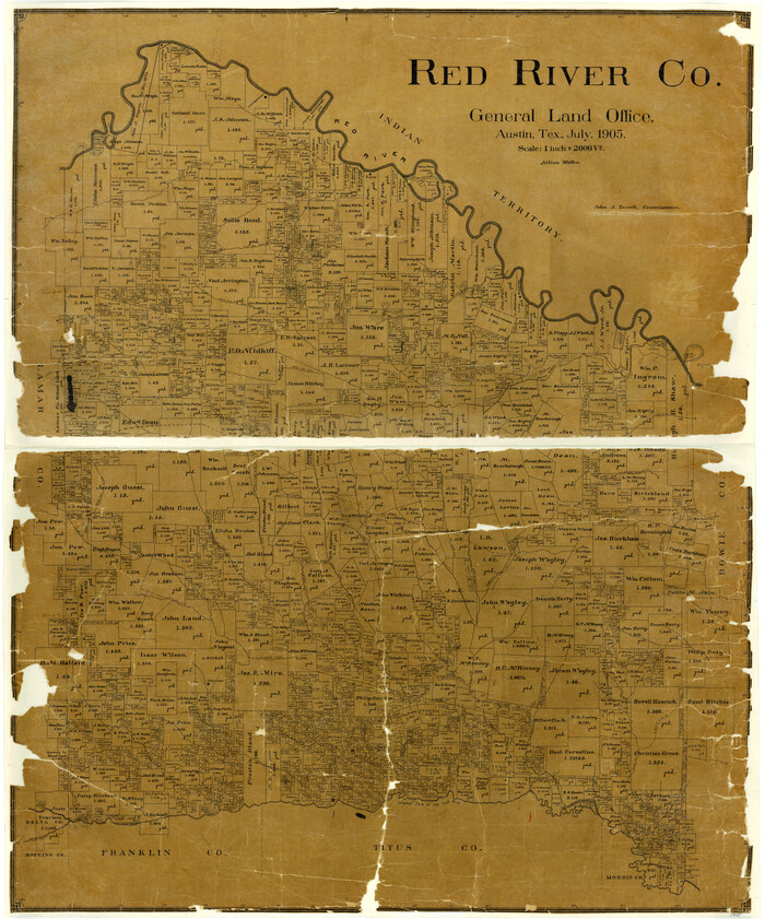
Red River Co.
1905
-
Size
45.3 x 37.7 inches
-
Map/Doc
3982
-
Creation Date
1905
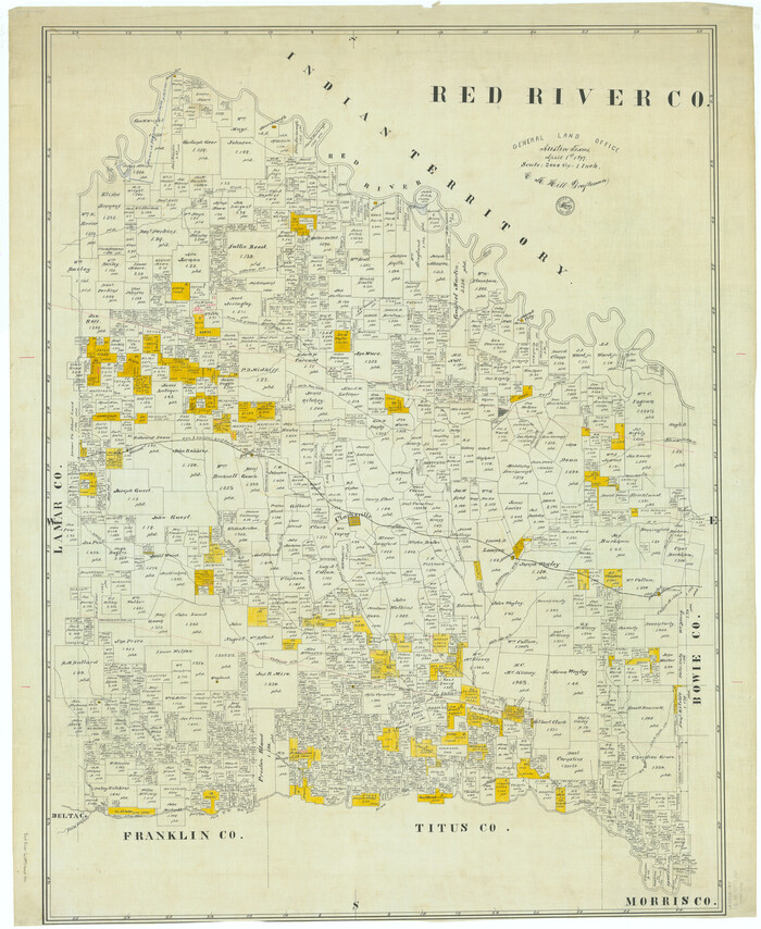
Red River Co.
1897
-
Size
48.0 x 39.4 inches
-
Map/Doc
66993
-
Creation Date
1897

Red River Co.
1905
-
Size
46.7 x 39.6 inches
-
Map/Doc
66994
-
Creation Date
1905
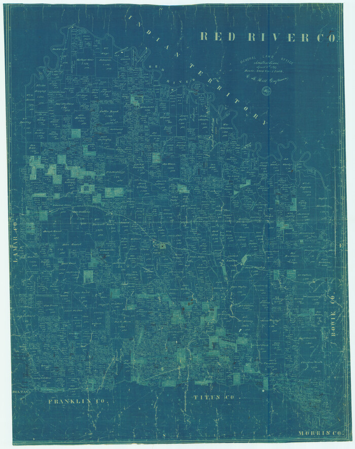
Red River Co.
1897
-
Size
46.7 x 36.9 inches
-
Map/Doc
78402
-
Creation Date
1897

Red River County
1896
-
Size
24.3 x 21.5 inches
-
Map/Doc
3977
-
Creation Date
1896
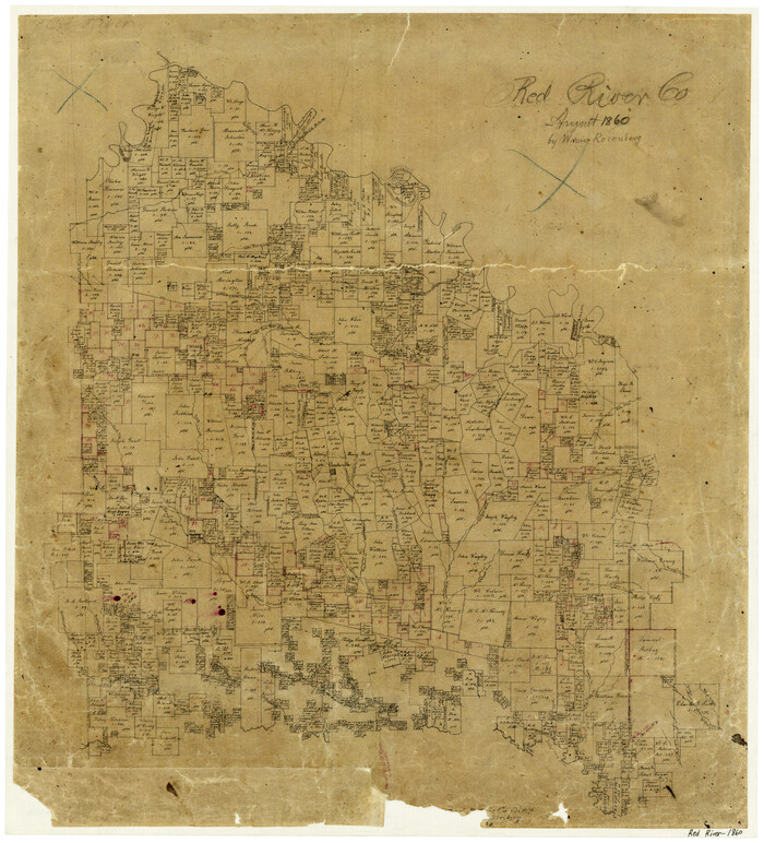
Red River County
1860
-
Size
23.0 x 20.8 inches
-
Map/Doc
3980
-
Creation Date
1860

Red River County
1934
-
Size
52.0 x 41.3 inches
-
Map/Doc
66995
-
Creation Date
1934

Red River County
1934
-
Size
46.0 x 39.2 inches
-
Map/Doc
73272
-
Creation Date
1934
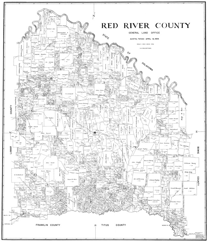
Red River County
1934
-
Size
45.0 x 38.6 inches
-
Map/Doc
77405
-
Creation Date
1934
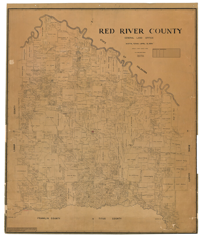
Red River County
1934
-
Size
47.0 x 40.2 inches
-
Map/Doc
95623
-
Creation Date
1934

Red River County Red River District
1879
-
Size
24.9 x 21.8 inches
-
Map/Doc
3976
-
Creation Date
1879

Red River County Rolled Sketch 10
2005
-
Size
35.8 x 35.6 inches
-
Map/Doc
83316
-
Creation Date
2005

Red River County Rolled Sketch 11
2006
-
Size
36.8 x 48.6 inches
-
Map/Doc
88614
-
Creation Date
2006