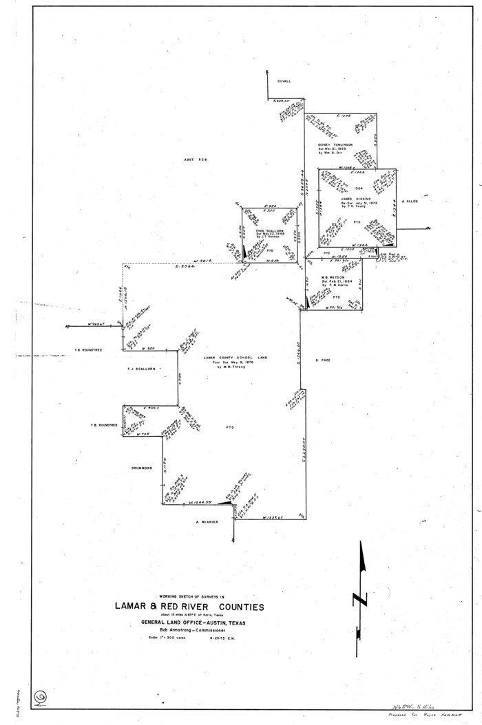
207 results

The Republic County of Red River. Boundaries Defined, December 18, 1837
96251.tif
Print $20.00 - Digital $50.00

The Republic County of Red River. Boundaries Defined, December 18, 1837

2020

Size: 8.7 x 10.8 inches
96251
The Republic County of Red River. December 17, 1840
96252.tif
Print $20.00 - Digital $50.00

The Republic County of Red River. December 17, 1840

2020
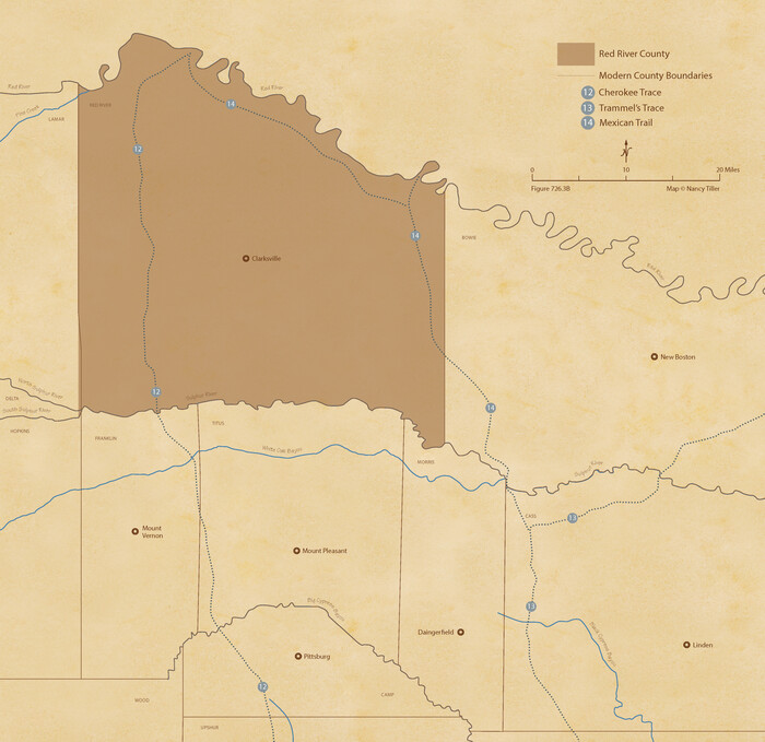
Size: 8.7 x 10.8 inches
96252
The Republic County of Red River. January 28, 1841
96253.tif
Print $20.00 - Digital $50.00

The Republic County of Red River. January 28, 1841

2020

Size: 10.5 x 10.8 inches
96253
The Republic County of Red River. Spring 1842
96254.tif
Print $20.00 - Digital $50.00

The Republic County of Red River. Spring 1842

2020

Size: 10.5 x 10.8 inches
96254
The Republic County of Red River. December 29, 1845
96255.tif
Print $20.00 - Digital $50.00

The Republic County of Red River. December 29, 1845

2020
Size: 10.5 x 10.8 inches
96255
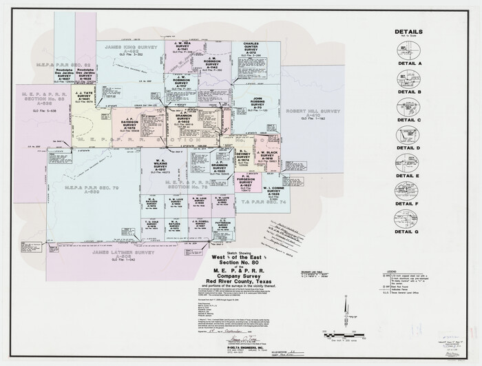
Red River County Rolled Sketch 11
88614.tif
Print $40.00 - Digital $50.00

Red River County Rolled Sketch 11

2006

Size: 36.8 x 48.6 inches
88614
Red River County Rolled Sketch 10
83316.tif
Print $20.00 - Digital $50.00

Red River County Rolled Sketch 10

2005
Size: 35.8 x 35.6 inches
83316
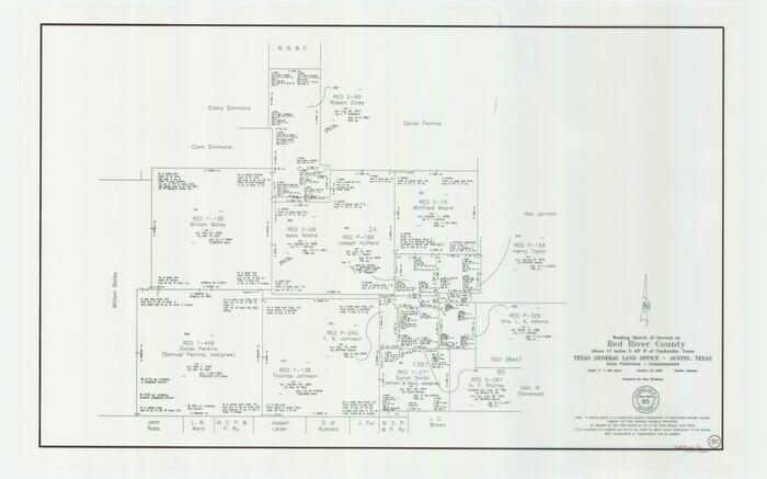
Red River County Working Sketch 85
83582.tif
Print $20.00 - Digital $50.00

Red River County Working Sketch 85

2005
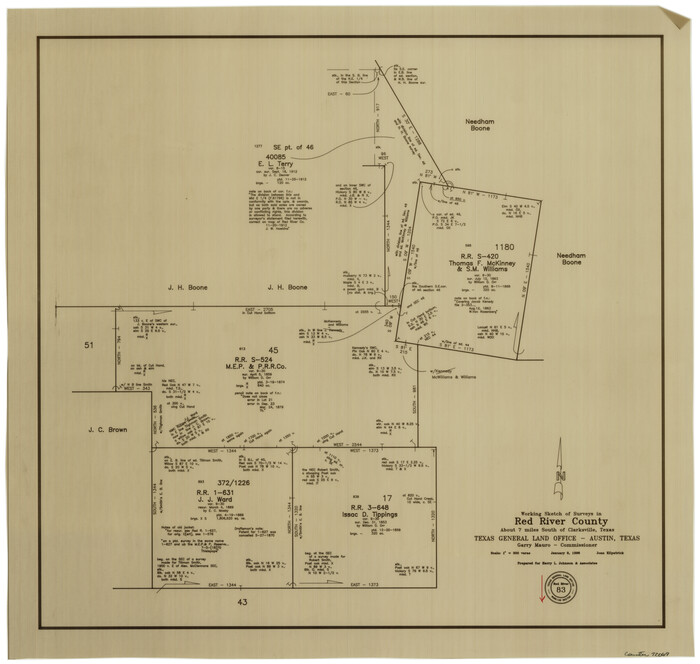
Size: 27.4 x 44.0 inches
83582
Red River County Sketch File 28
35165, Red River County Sketch File 28, General Map Collection
Print $22.00 - Digital $50.00

Red River County Sketch File 28

1995

Size: 11.3 x 8.9 inches
35165
Red River County Rolled Sketch 6
9843.tif
Print $40.00 - Digital $50.00

Red River County Rolled Sketch 6

1966

Size: 58.1 x 45.2 inches
9843
Bowie County Working Sketch 17
67421.tif
Print $20.00 - Digital $50.00

Bowie County Working Sketch 17

1962

Size: 24.5 x 20.0 inches
67421
Bowie County Working Sketch 18
67422.tif
Print $20.00 - Digital $50.00

Bowie County Working Sketch 18

1962

Size: 26.3 x 20.4 inches
67422
General Highway Map, Red River County, Texas
79637.tif
Print $20.00

General Highway Map, Red River County, Texas

1961

Size: 24.6 x 18.1 inches
79637
General Highway Map, Red River County, Texas
79226.tif
Print $20.00

General Highway Map, Red River County, Texas

1940

Size: 25.0 x 18.3 inches
79226
Sulphur River, Bassett Sheet
65176.tif
Print $6.00 - Digital $50.00

Sulphur River, Bassett Sheet

1939

Size: 23.9 x 31.2 inches
65176
Sulphur River, Bassett Sheet
69683.tif
Print $20.00 - Digital $50.00

Sulphur River, Bassett Sheet

1939

Size: 23.9 x 31.5 inches
69683
Sulphur River, Bassett Sheet
78320.tif
Print $20.00 - Digital $50.00

Sulphur River, Bassett Sheet

1939

Size: 25.3 x 32.0 inches
78320
Sulphur River, Bassett Sheet
78322.tif
Print $20.00 - Digital $50.00

Sulphur River, Bassett Sheet

1939

Size: 24.8 x 32.0 inches
78322
Red River County
66995.tif
Print $40.00 - Digital $50.00

Red River County

1934

Size: 52.0 x 41.3 inches
66995
Red River County
73272.tif
Print $20.00 - Digital $50.00

Red River County

1934

Size: 46.0 x 39.2 inches
73272
Red River County Working Sketch Graphic Index, Sheet 1 (Sketches 1 to 48)
76680.tif
Print $20.00 - Digital $50.00

Red River County Working Sketch Graphic Index, Sheet 1 (Sketches 1 to 48)

1934

Size: 46.3 x 39.3 inches
76680
Red River County Working Sketch Graphic Index, Sheet 2 (Sketches 49 to Most Recent)
76681.tif
Print $20.00 - Digital $50.00

Red River County Working Sketch Graphic Index, Sheet 2 (Sketches 49 to Most Recent)

1934

Size: 46.4 x 39.1 inches
76681
Red River County
77405.tif
Print $20.00 - Digital $50.00

Red River County

1934

Size: 45.0 x 38.6 inches
77405
Red River County
95623.tif
Print $20.00 - Digital $50.00

Red River County

1934

Size: 47.0 x 40.2 inches
95623
Sulphur River, Ringo Crossing Sheet
65162.tif
Print $20.00 - Digital $50.00

Sulphur River, Ringo Crossing Sheet

1933

Size: 30.5 x 35.9 inches
65162
Sulphur River, Ringo Crossing Sheet
78334.tif
Print $20.00 - Digital $50.00

Sulphur River, Ringo Crossing Sheet

1933

Size: 18.5 x 20.4 inches
78334
Official Highway Map of Texas
79744.tif
Print $20.00

Official Highway Map of Texas

1926

Size: 25.0 x 24.9 inches
79744
Levee Improvement Districts Widths of Floodways - Sulphur River and Cuthand Creek
65155.tif
Print $20.00 - Digital $50.00

Levee Improvement Districts Widths of Floodways - Sulphur River and Cuthand Creek

1924

Size: 15.4 x 38.6 inches
65155
Sulphur River, Turner Lake Sheet, Cuthand Creek
65157.tif
Print $20.00 - Digital $50.00

Sulphur River, Turner Lake Sheet, Cuthand Creek

1922

Size: 28.5 x 34.3 inches
65157
Sulphur River, Turner Lake Sheet, Cuthand Creek
78338.tif
Print $20.00 - Digital $50.00

Sulphur River, Turner Lake Sheet, Cuthand Creek

1922

Size: 17.5 x 18.3 inches
78338
The Republic County of Red River. Boundaries Defined, December 18, 1837
96251, The Republic County of Red River. Boundaries Defined, December 18, 1837, Nancy and Jim Tiller Digital Collection
Print $20.00 - Digital $50.00

The Republic County of Red River. Boundaries Defined, December 18, 1837

2020

  • Size

    8.7 x 10.8 inches

  • Map/Doc

    96251

  • Creation Date

    2020

The Republic County of Red River. December 17, 1840
96252, The Republic County of Red River. December 17, 1840, Nancy and Jim Tiller Digital Collection
Print $20.00 - Digital $50.00

The Republic County of Red River. December 17, 1840

2020

  • Size

    8.7 x 10.8 inches

  • Map/Doc

    96252

  • Creation Date

    2020

The Republic County of Red River. January 28, 1841
96253, The Republic County of Red River. January 28, 1841, Nancy and Jim Tiller Digital Collection
Print $20.00 - Digital $50.00

The Republic County of Red River. January 28, 1841

2020

  • Size

    10.5 x 10.8 inches

  • Map/Doc

    96253

  • Creation Date

    2020

The Republic County of Red River. Spring 1842
96254, The Republic County of Red River. Spring 1842, Nancy and Jim Tiller Digital Collection
Print $20.00 - Digital $50.00

The Republic County of Red River. Spring 1842

2020

  • Size

    10.5 x 10.8 inches

  • Map/Doc

    96254

  • Creation Date

    2020

The Republic County of Red River. December 29, 1845
96255, The Republic County of Red River. December 29, 1845, Nancy and Jim Tiller Digital Collection
Print $20.00 - Digital $50.00

The Republic County of Red River. December 29, 1845

2020

  • Size

    10.5 x 10.8 inches

  • Map/Doc

    96255

  • Creation Date

    2020

Red River County Rolled Sketch 11
88614, Red River County Rolled Sketch 11, General Map Collection
Print $40.00 - Digital $50.00

Red River County Rolled Sketch 11

2006

  • Size

    36.8 x 48.6 inches

  • Map/Doc

    88614

  • Creation Date

    2006

Red River County Rolled Sketch 10
83316, Red River County Rolled Sketch 10, General Map Collection
Print $20.00 - Digital $50.00

Red River County Rolled Sketch 10

2005

  • Size

    35.8 x 35.6 inches

  • Map/Doc

    83316

  • Creation Date

    2005

Red River County Working Sketch 85
83582, Red River County Working Sketch 85, General Map Collection
Print $20.00 - Digital $50.00

Red River County Working Sketch 85

2005

  • Size

    27.4 x 44.0 inches

  • Map/Doc

    83582

  • Creation Date

    2005

Red River County Sketch File 28
35165, Red River County Sketch File 28, General Map Collection
Print $22.00 - Digital $50.00

Red River County Sketch File 28

1995

  • Size

    11.3 x 8.9 inches

  • Map/Doc

    35165

  • Creation Date

    1995

Red River County Rolled Sketch 6
9843, Red River County Rolled Sketch 6, General Map Collection
Print $40.00 - Digital $50.00

Red River County Rolled Sketch 6

1966

  • Size

    58.1 x 45.2 inches

  • Map/Doc

    9843

  • Creation Date

    1966

Bowie County Working Sketch 17
67421, Bowie County Working Sketch 17, General Map Collection
Print $20.00 - Digital $50.00

Bowie County Working Sketch 17

1962

  • Size

    24.5 x 20.0 inches

  • Map/Doc

    67421

  • Creation Date

    1962

Bowie County Working Sketch 18
67422, Bowie County Working Sketch 18, General Map Collection
Print $20.00 - Digital $50.00

Bowie County Working Sketch 18

1962

  • Size

    26.3 x 20.4 inches

  • Map/Doc

    67422

  • Creation Date

    1962

General Highway Map, Red River County, Texas
79637, General Highway Map, Red River County, Texas, Texas State Library and Archives
Print $20.00

General Highway Map, Red River County, Texas

1961

  • Size

    24.6 x 18.1 inches

  • Map/Doc

    79637

  • Creation Date

    1961

General Highway Map, Red River County, Texas
79226, General Highway Map, Red River County, Texas, Texas State Library and Archives
Print $20.00

General Highway Map, Red River County, Texas

1940

  • Size

    25.0 x 18.3 inches

  • Map/Doc

    79226

  • Creation Date

    1940

Sulphur River, Bassett Sheet
65176, Sulphur River, Bassett Sheet, General Map Collection
Print $6.00 - Digital $50.00

Sulphur River, Bassett Sheet

1939

  • Size

    23.9 x 31.2 inches

  • Map/Doc

    65176

  • Creation Date

    1939

Sulphur River, Bassett Sheet
69683, Sulphur River, Bassett Sheet, General Map Collection
Print $20.00 - Digital $50.00

Sulphur River, Bassett Sheet

1939

  • Size

    23.9 x 31.5 inches

  • Map/Doc

    69683

  • Creation Date

    1939

Sulphur River, Bassett Sheet
78320, Sulphur River, Bassett Sheet, General Map Collection
Print $20.00 - Digital $50.00

Sulphur River, Bassett Sheet

1939

  • Size

    25.3 x 32.0 inches

  • Map/Doc

    78320

  • Creation Date

    1939

Sulphur River, Bassett Sheet
78322, Sulphur River, Bassett Sheet, General Map Collection
Print $20.00 - Digital $50.00

Sulphur River, Bassett Sheet

1939

  • Size

    24.8 x 32.0 inches

  • Map/Doc

    78322

  • Creation Date

    1939

Red River County
66995, Red River County, General Map Collection
Print $40.00 - Digital $50.00

Red River County

1934

  • Size

    52.0 x 41.3 inches

  • Map/Doc

    66995

  • Creation Date

    1934

Red River County
73272, Red River County, General Map Collection
Print $20.00 - Digital $50.00

Red River County

1934

  • Size

    46.0 x 39.2 inches

  • Map/Doc

    73272

  • Creation Date

    1934

Red River County Working Sketch Graphic Index, Sheet 1 (Sketches 1 to 48)
76680, Red River County Working Sketch Graphic Index, Sheet 1 (Sketches 1 to 48), General Map Collection
Print $20.00 - Digital $50.00

Red River County Working Sketch Graphic Index, Sheet 1 (Sketches 1 to 48)

1934

  • Size

    46.3 x 39.3 inches

  • Map/Doc

    76680

  • Creation Date

    1934

Red River County Working Sketch Graphic Index, Sheet 2 (Sketches 49 to Most Recent)
76681, Red River County Working Sketch Graphic Index, Sheet 2 (Sketches 49 to Most Recent), General Map Collection
Print $20.00 - Digital $50.00

Red River County Working Sketch Graphic Index, Sheet 2 (Sketches 49 to Most Recent)

1934

  • Size

    46.4 x 39.1 inches

  • Map/Doc

    76681

  • Creation Date

    1934

Red River County
77405, Red River County, General Map Collection
Print $20.00 - Digital $50.00

Red River County

1934

  • Size

    45.0 x 38.6 inches

  • Map/Doc

    77405

  • Creation Date

    1934

Red River County
95623, Red River County, General Map Collection
Print $20.00 - Digital $50.00

Red River County

1934

  • Size

    47.0 x 40.2 inches

  • Map/Doc

    95623

  • Creation Date

    1934

Sulphur River, Ringo Crossing Sheet
65162, Sulphur River, Ringo Crossing Sheet, General Map Collection
Print $20.00 - Digital $50.00

Sulphur River, Ringo Crossing Sheet

1933

  • Size

    30.5 x 35.9 inches

  • Map/Doc

    65162

  • Creation Date

    1933

Sulphur River, Ringo Crossing Sheet
78334, Sulphur River, Ringo Crossing Sheet, General Map Collection
Print $20.00 - Digital $50.00

Sulphur River, Ringo Crossing Sheet

1933

  • Size

    18.5 x 20.4 inches

  • Map/Doc

    78334

  • Creation Date

    1933

Official Highway Map of Texas
79744, Official Highway Map of Texas, Texas State Library and Archives
Print $20.00

Official Highway Map of Texas

1926

  • Size

    25.0 x 24.9 inches

  • Map/Doc

    79744

  • Creation Date

    1926

Levee Improvement Districts Widths of Floodways - Sulphur River and Cuthand Creek
65155, Levee Improvement Districts Widths of Floodways - Sulphur River and Cuthand Creek, General Map Collection
Print $20.00 - Digital $50.00

Levee Improvement Districts Widths of Floodways - Sulphur River and Cuthand Creek

1924

  • Size

    15.4 x 38.6 inches

  • Map/Doc

    65155

  • Creation Date

    1924

Sulphur River, Turner Lake Sheet, Cuthand Creek
65157, Sulphur River, Turner Lake Sheet, Cuthand Creek, General Map Collection
Print $20.00 - Digital $50.00

Sulphur River, Turner Lake Sheet, Cuthand Creek

1922

  • Size

    28.5 x 34.3 inches

  • Map/Doc

    65157

  • Creation Date

    1922

Sulphur River, Turner Lake Sheet, Cuthand Creek
78338, Sulphur River, Turner Lake Sheet, Cuthand Creek, General Map Collection
Print $20.00 - Digital $50.00

Sulphur River, Turner Lake Sheet, Cuthand Creek

1922

  • Size

    17.5 x 18.3 inches

  • Map/Doc

    78338

  • Creation Date

    1922