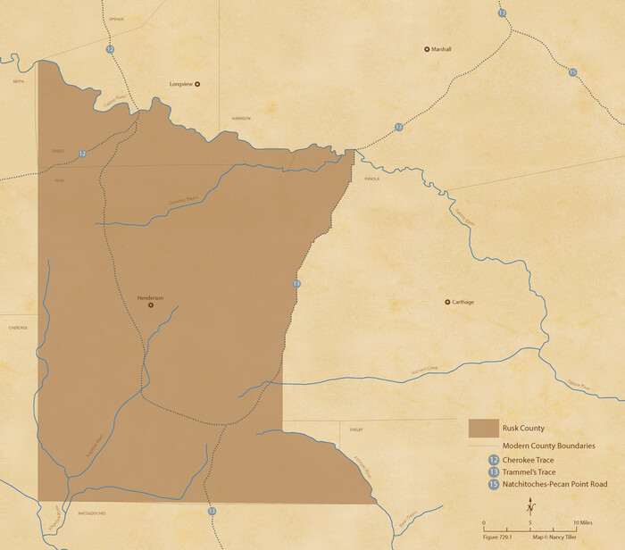
The Republic County of Rusk. Created, January 16, 1843
2020
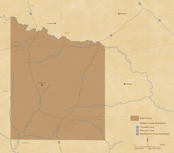
The Republic County of Rusk. December 31, 1844
2020
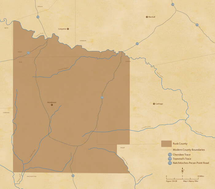
The Republic County of Rusk. February 1, 1845
2020

The Republic County of Rusk. December 29, 1845
2020

Rusk County Working Sketch 38
2008

Rusk County Working Sketch 37a
2007

Rusk County Working Sketch 37b
2007

Rusk County Working Sketch 37c
2007

Rusk County Working Sketch 36
2007

Rusk County Working Sketch 35
2005
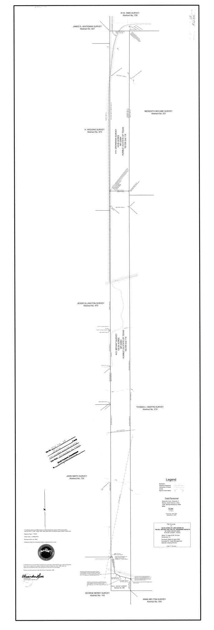
Rusk County Rolled Sketch 15
2000
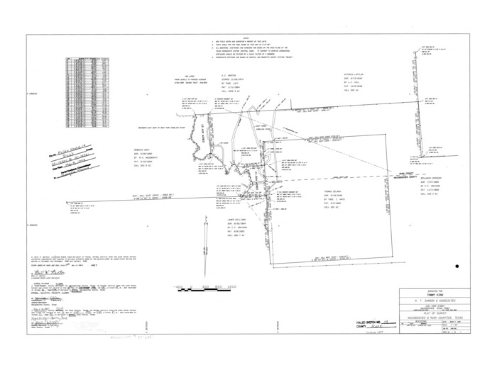
Rusk County Rolled Sketch 14
1997
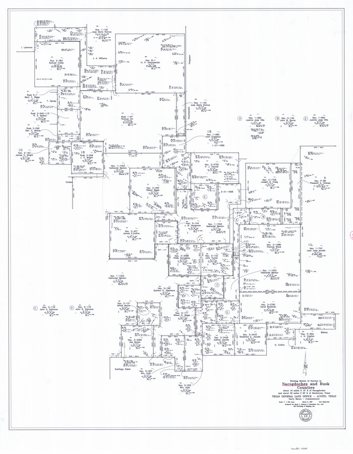
Nacogdoches County Working Sketch 12
1997
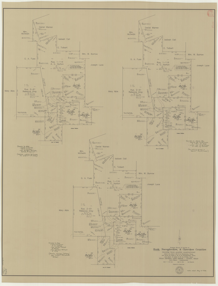
Rusk County Working Sketch 34
1994
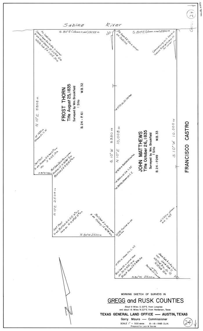
Gregg County Working Sketch 24
1985

Shelby County Working Sketch 24
1985

Panola County Working Sketch 36
1984
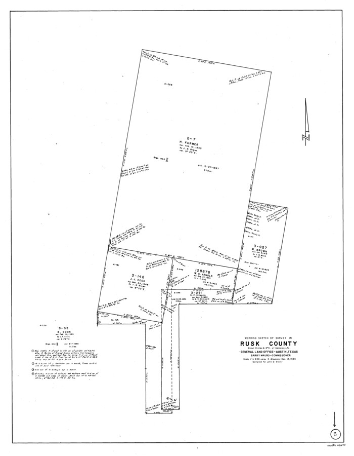
Rusk County Working Sketch 5
1983
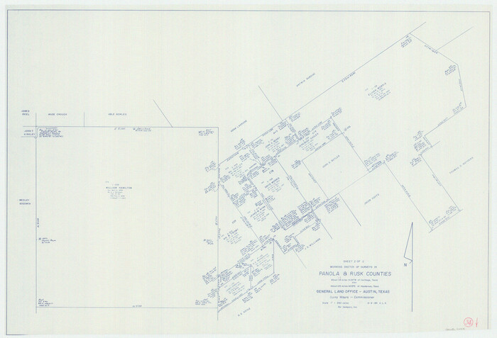
Panola County Working Sketch 34
1983

Panola County Working Sketch 33
1983
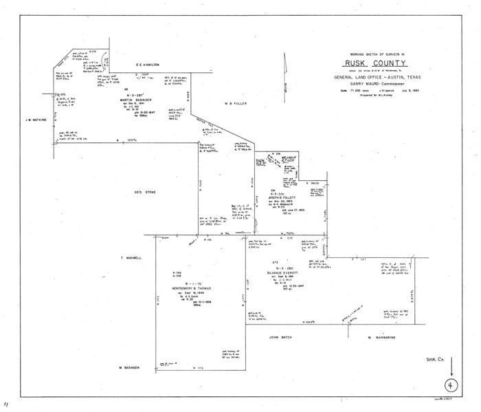
Rusk County Working Sketch 4
1983

Rusk County Working Sketch 7
1982

Rusk County Working Sketch 6
1982
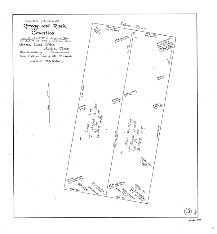
Gregg County Working Sketch 22
1981
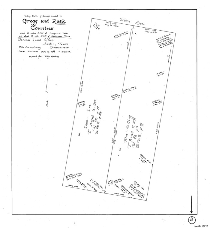
Rusk County Working Sketch 8
1981
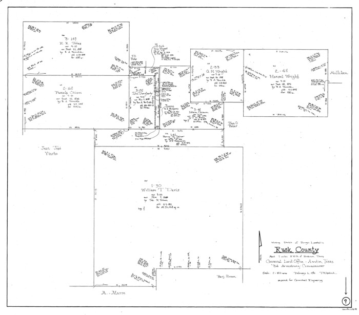
Rusk County Working Sketch 9
1981
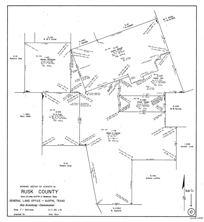
Rusk County Working Sketch 10
1980
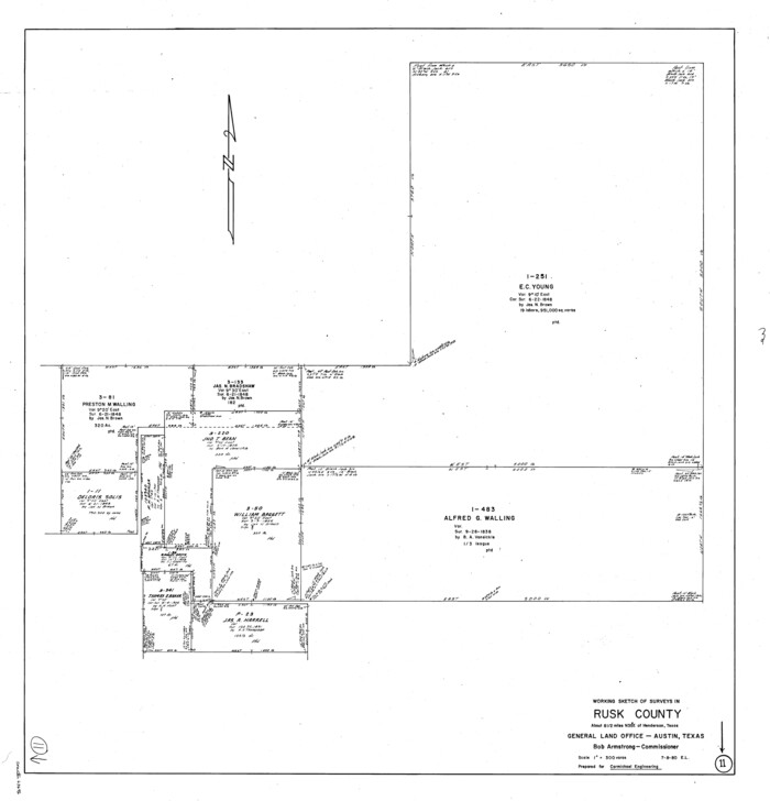
Rusk County Working Sketch 11
1980

Rusk County Working Sketch 12
1979
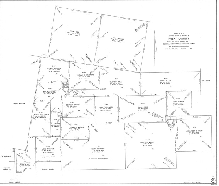
Rusk County Working Sketch 13
1976

The Republic County of Rusk. Created, January 16, 1843
2020
-
Size
19.1 x 21.7 inches
-
Map/Doc
96265
-
Creation Date
2020

The Republic County of Rusk. December 31, 1844
2020
-
Size
19.1 x 21.7 inches
-
Map/Doc
96266
-
Creation Date
2020

The Republic County of Rusk. February 1, 1845
2020
-
Size
19.1 x 21.7 inches
-
Map/Doc
96267
-
Creation Date
2020

The Republic County of Rusk. December 29, 1845
2020
-
Size
19.1 x 21.7 inches
-
Map/Doc
96268
-
Creation Date
2020

Rusk County Working Sketch 38
2008
-
Size
16.3 x 23.3 inches
-
Map/Doc
88815
-
Creation Date
2008

Rusk County Working Sketch 37a
2007
-
Size
54.5 x 34.2 inches
-
Map/Doc
87496
-
Creation Date
2007

Rusk County Working Sketch 37b
2007
-
Size
50.0 x 31.0 inches
-
Map/Doc
87497
-
Creation Date
2007

Rusk County Working Sketch 37c
2007
-
Size
21.2 x 36.0 inches
-
Map/Doc
87498
-
Creation Date
2007

Rusk County Working Sketch 36
2007
-
Size
31.7 x 36.0 inches
-
Map/Doc
83786
-
Creation Date
2007

Rusk County Working Sketch 35
2005
-
Size
28.7 x 42.0 inches
-
Map/Doc
83584
-
Creation Date
2005

Rusk County Rolled Sketch 15
2000
-
Size
62.4 x 21.2 inches
-
Map/Doc
10636
-
Creation Date
2000

Rusk County Rolled Sketch 14
1997
-
Size
27.8 x 37.8 inches
-
Map/Doc
7549
-
Creation Date
1997

Nacogdoches County Working Sketch 12
1997
-
Size
44.9 x 34.9 inches
-
Map/Doc
71228
-
Creation Date
1997

Rusk County Working Sketch 34
1994
-
Size
43.5 x 33.1 inches
-
Map/Doc
63671
-
Creation Date
1994

Gregg County Working Sketch 24
1985
-
Size
26.6 x 16.3 inches
-
Map/Doc
63291
-
Creation Date
1985

Shelby County Working Sketch 24
1985
-
Size
38.3 x 39.0 inches
-
Map/Doc
63878
-
Creation Date
1985

Panola County Working Sketch 36
1984
-
Map/Doc
71445
-
Creation Date
1984

Rusk County Working Sketch 5
1983
-
Size
33.1 x 25.7 inches
-
Map/Doc
63640
-
Creation Date
1983

Panola County Working Sketch 34
1983
-
Map/Doc
71443
-
Creation Date
1983

Panola County Working Sketch 33
1983
-
Map/Doc
71442
-
Creation Date
1983

Rusk County Working Sketch 4
1983
-
Size
27.2 x 31.7 inches
-
Map/Doc
63639
-
Creation Date
1983

Rusk County Working Sketch 7
1982
-
Size
22.3 x 36.7 inches
-
Map/Doc
63642
-
Creation Date
1982

Rusk County Working Sketch 6
1982
-
Size
32.8 x 32.9 inches
-
Map/Doc
63641
-
Creation Date
1982

Gregg County Working Sketch 22
1981
-
Size
23.2 x 21.5 inches
-
Map/Doc
63289
-
Creation Date
1981

Rusk County Working Sketch 8
1981
-
Size
22.4 x 20.6 inches
-
Map/Doc
63643
-
Creation Date
1981

Rusk County Working Sketch 9
1981
-
Size
28.3 x 32.3 inches
-
Map/Doc
63644
-
Creation Date
1981

Rusk County Working Sketch 10
1980
-
Size
22.4 x 20.6 inches
-
Map/Doc
63645
-
Creation Date
1980

Rusk County Working Sketch 11
1980
-
Size
33.3 x 32.0 inches
-
Map/Doc
63646
-
Creation Date
1980

Rusk County Working Sketch 12
1979
-
Size
17.0 x 15.8 inches
-
Map/Doc
63647
-
Creation Date
1979

Rusk County Working Sketch 13
1976
-
Size
33.2 x 39.1 inches
-
Map/Doc
63648
-
Creation Date
1976