99 results

A Map of that part of Young District south of old Fannin District line
1979.tif
Print $20.00 - Digital $50.00

A Map of that part of Young District south of old Fannin District line

1861

Size: 24.9 x 38.0 inches
1979
Brazos River, Ft. Griffin State Park/Mill Cr.-Clear Fork of Brazos River
65291.tif
Print $4.00 - Digital $50.00

Brazos River, Ft. Griffin State Park/Mill Cr.-Clear Fork of Brazos River

1940

Size: 27.5 x 20.5 inches
65291
Callahan County Sketch File 14
11042, Callahan County Sketch File 14, General Map Collection
Print $40.00 - Digital $50.00

Callahan County Sketch File 14

1938

Size: 20.5 x 26.1 inches
11042
Callahan County Sketch File 6a
35860, Callahan County Sketch File 6a, General Map Collection
Print $24.00 - Digital $50.00

Callahan County Sketch File 6a

Size: 8.0 x 6.8 inches
35860
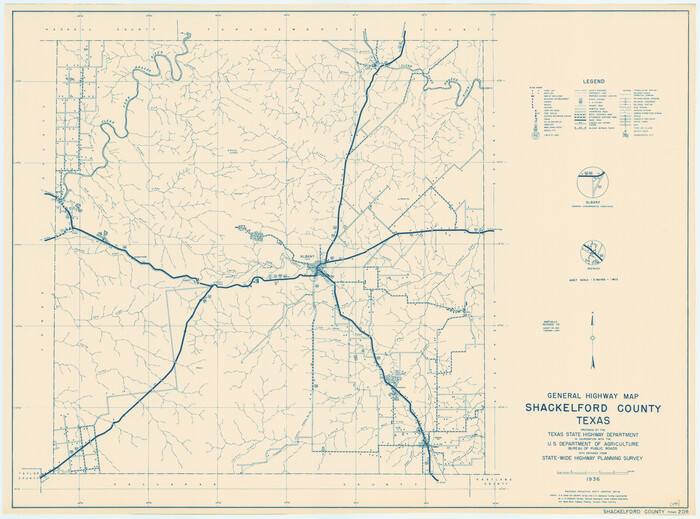
General Highway Map, Shackelford County, Texas
79241.tif
Print $20.00

General Highway Map, Shackelford County, Texas

1940

Size: 18.4 x 24.8 inches
79241
General Highway Map, Shackelford County, Texas
79651.tif
Print $20.00

General Highway Map, Shackelford County, Texas

1961
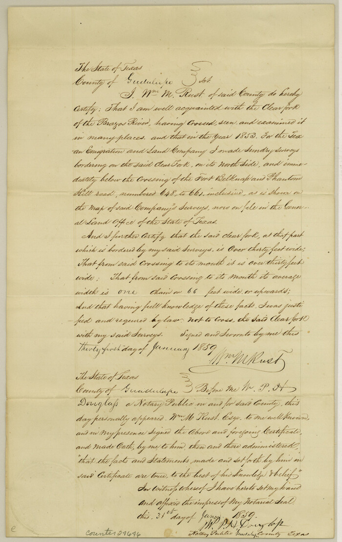
Size: 18.1 x 24.8 inches
79651
Guadalupe County Sketch File 1a
24646, Guadalupe County Sketch File 1a, General Map Collection
Print $4.00 - Digital $50.00

Guadalupe County Sketch File 1a

1859

Size: 12.6 x 7.9 inches
24646
Haskell County Sketch File 16
26163, Haskell County Sketch File 16, General Map Collection
Print $32.00 - Digital $50.00

Haskell County Sketch File 16

1894

Size: 11.2 x 8.8 inches
26163
Haskell County Sketch File 21
11744, Haskell County Sketch File 21, General Map Collection
Print $20.00 - Digital $50.00

Haskell County Sketch File 21

1935

Size: 30.2 x 20.3 inches
11744
Haskell County Sketch File 4
11739, Haskell County Sketch File 4, General Map Collection
Print $20.00 - Digital $50.00

Haskell County Sketch File 4

Size: 17.7 x 18.6 inches
11739
Jones County Sketch File 1
11894, Jones County Sketch File 1, General Map Collection
Print $20.00 - Digital $50.00

Jones County Sketch File 1

1857

Size: 17.8 x 30.3 inches
11894
Jones County Sketch File 10a
10509, Jones County Sketch File 10a, General Map Collection
Print $40.00 - Digital $50.00

Jones County Sketch File 10a

1875

Size: 40.0 x 50.6 inches
10509
Jones County Sketch File 2
11895, Jones County Sketch File 2, General Map Collection
Print $20.00 - Digital $50.00

Jones County Sketch File 2

1857

Size: 16.8 x 21.1 inches
11895
Jones County Sketch File 5a
11896, Jones County Sketch File 5a, General Map Collection
Print $20.00 - Digital $50.00

Jones County Sketch File 5a

1857

Size: 18.4 x 23.5 inches
11896
Map of Asylum & University lands situated on the waters of Hubbards Creek
2491-GC.tif
Print $20.00 - Digital $50.00

Map of Asylum & University lands situated on the waters of Hubbards Creek

1857

Size: 21.2 x 28.5 inches
2491
Map of Asylum Lands
2459-1.tif
Print $20.00 - Digital $50.00

Map of Asylum Lands

1857

Size: 28.4 x 18.5 inches
2459
Map of Shackelford County
4025.tif
Print $20.00 - Digital $50.00

Map of Shackelford County

1878

Size: 25.0 x 20.2 inches
4025
Map of Shackelford County
4026.tif
Print $20.00 - Digital $50.00

Map of Shackelford County

1895

Size: 24.1 x 19.5 inches
4026
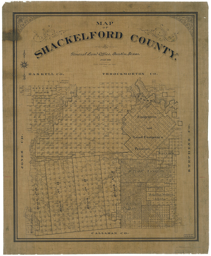
Map of Shackelford County
63031.tif
Print $20.00 - Digital $50.00

Map of Shackelford County

1901

Size: 26.5 x 21.9 inches
63031
Map of Shackelford County, North of the Clearfork of the Brazos River Young - South of il Milam - Land District
4027.tif
Print $20.00 - Digital $50.00

Map of Shackelford County, North of the Clearfork of the Brazos River Young - South of il Milam - Land District

1859

Size: 24.8 x 19.9 inches
4027
Map of Shackelford County, Texas
616-1.tif
Print $20.00 - Digital $50.00

Map of Shackelford County, Texas

1879

Size: 28.7 x 23.4 inches
616
Map of Shackelford County, Texas
78398.tif
Print $20.00 - Digital $50.00

Map of Shackelford County, Texas

Size: 47.3 x 42.8 inches
78398
Map of University Land in Shackelford and Callahan Counties
2435.tif
Print $20.00 - Digital $50.00

Map of University Land in Shackelford and Callahan Counties

1905

Size: 33.4 x 25.3 inches
2435
Map of the Texas & Pacific Railway from Fort Worth to El Paso
64511.tif
Print $40.00 - Digital $50.00

Map of the Texas & Pacific Railway from Fort Worth to El Paso

Size: 24.0 x 76.5 inches
64511
Shackelford County
16813.tif
Print $20.00 - Digital $50.00

Shackelford County

1920

Size: 44.6 x 37.1 inches
16813
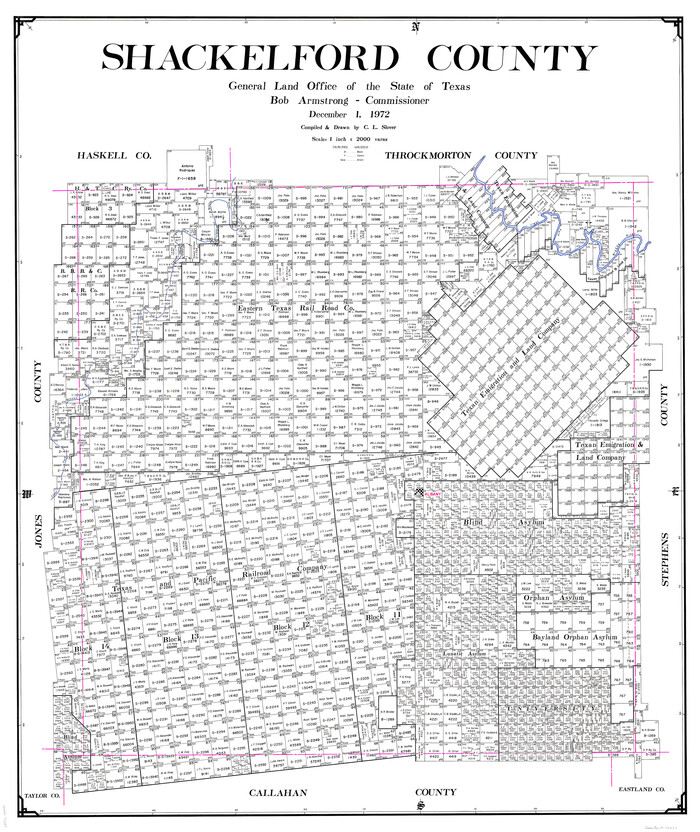
Shackelford County
73287.tif
Print $20.00 - Digital $50.00

Shackelford County

1972

Size: 42.8 x 36.3 inches
73287
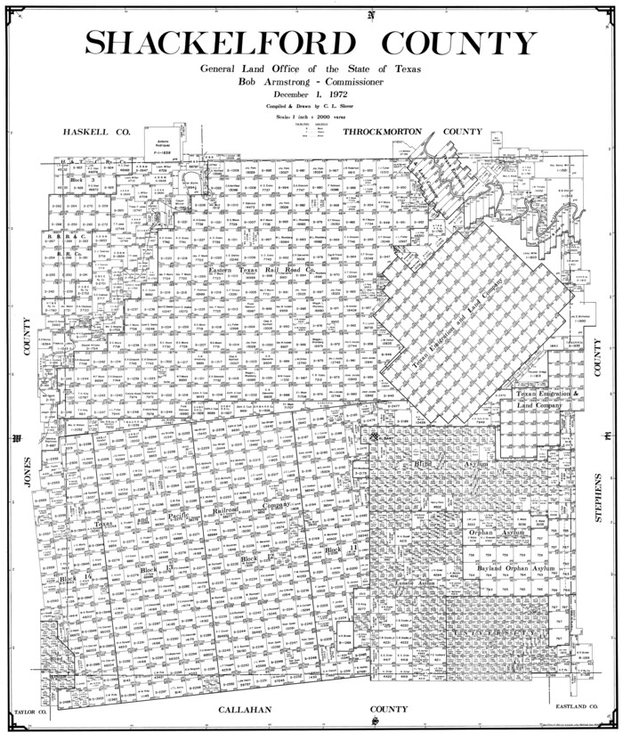
Shackelford County
77420.tif
Print $20.00 - Digital $50.00

Shackelford County

1972

Size: 41.1 x 35.0 inches
77420
Shackelford County
93031.tif
Print $20.00 - Digital $50.00

Shackelford County

1920

Size: 39.2 x 46.1 inches
93031
Shackelford County
95638.tif
Print $20.00 - Digital $50.00

Shackelford County

1972

Size: 43.9 x 37.3 inches
95638
Shackelford County Boundary File 1
58625, Shackelford County Boundary File 1, General Map Collection
Print $17.00 - Digital $50.00

Shackelford County Boundary File 1

Size: 14.0 x 8.7 inches
58625
A Map of that part of Young District south of old Fannin District line
1979, A Map of that part of Young District south of old Fannin District line, General Map Collection
Print $20.00 - Digital $50.00

A Map of that part of Young District south of old Fannin District line

1861

  • Size

    24.9 x 38.0 inches

  • Map/Doc

    1979

  • Creation Date

    1861

Brazos River, Ft. Griffin State Park/Mill Cr.-Clear Fork of Brazos River
65291, Brazos River, Ft. Griffin State Park/Mill Cr.-Clear Fork of Brazos River, General Map Collection
Print $4.00 - Digital $50.00

Brazos River, Ft. Griffin State Park/Mill Cr.-Clear Fork of Brazos River

1940

  • Size

    27.5 x 20.5 inches

  • Map/Doc

    65291

  • Creation Date

    1940

Callahan County Sketch File 14
11042, Callahan County Sketch File 14, General Map Collection
Print $40.00 - Digital $50.00

Callahan County Sketch File 14

1938

  • Size

    20.5 x 26.1 inches

  • Map/Doc

    11042

  • Creation Date

    1938

Callahan County Sketch File 6a
35860, Callahan County Sketch File 6a, General Map Collection
Print $24.00 - Digital $50.00

Callahan County Sketch File 6a

  • Size

    8.0 x 6.8 inches

  • Map/Doc

    35860

General Highway Map, Shackelford County, Texas
79241, General Highway Map, Shackelford County, Texas, Texas State Library and Archives
Print $20.00

General Highway Map, Shackelford County, Texas

1940

  • Size

    18.4 x 24.8 inches

  • Map/Doc

    79241

  • Creation Date

    1940

General Highway Map, Shackelford County, Texas
79651, General Highway Map, Shackelford County, Texas, Texas State Library and Archives
Print $20.00

General Highway Map, Shackelford County, Texas

1961

  • Size

    18.1 x 24.8 inches

  • Map/Doc

    79651

  • Creation Date

    1961

Guadalupe County Sketch File 1a
24646, Guadalupe County Sketch File 1a, General Map Collection
Print $4.00 - Digital $50.00

Guadalupe County Sketch File 1a

1859

  • Size

    12.6 x 7.9 inches

  • Map/Doc

    24646

  • Creation Date

    1859

Haskell County Sketch File 16
26163, Haskell County Sketch File 16, General Map Collection
Print $32.00 - Digital $50.00

Haskell County Sketch File 16

1894

  • Size

    11.2 x 8.8 inches

  • Map/Doc

    26163

  • Creation Date

    1894

Haskell County Sketch File 21
11744, Haskell County Sketch File 21, General Map Collection
Print $20.00 - Digital $50.00

Haskell County Sketch File 21

1935

  • Size

    30.2 x 20.3 inches

  • Map/Doc

    11744

  • Creation Date

    1935

Haskell County Sketch File 4
11739, Haskell County Sketch File 4, General Map Collection
Print $20.00 - Digital $50.00

Haskell County Sketch File 4

  • Size

    17.7 x 18.6 inches

  • Map/Doc

    11739

Jones County Sketch File 1
11894, Jones County Sketch File 1, General Map Collection
Print $20.00 - Digital $50.00

Jones County Sketch File 1

1857

  • Size

    17.8 x 30.3 inches

  • Map/Doc

    11894

  • Creation Date

    1857

Jones County Sketch File 10a
10509, Jones County Sketch File 10a, General Map Collection
Print $40.00 - Digital $50.00

Jones County Sketch File 10a

1875

  • Size

    40.0 x 50.6 inches

  • Map/Doc

    10509

  • Creation Date

    1875

Jones County Sketch File 2
11895, Jones County Sketch File 2, General Map Collection
Print $20.00 - Digital $50.00

Jones County Sketch File 2

1857

  • Size

    16.8 x 21.1 inches

  • Map/Doc

    11895

  • Creation Date

    1857

Jones County Sketch File 5a
11896, Jones County Sketch File 5a, General Map Collection
Print $20.00 - Digital $50.00

Jones County Sketch File 5a

1857

  • Size

    18.4 x 23.5 inches

  • Map/Doc

    11896

  • Creation Date

    1857

Map of Asylum & University lands situated on the waters of Hubbards Creek
2491, Map of Asylum & University lands situated on the waters of Hubbards Creek, General Map Collection
Print $20.00 - Digital $50.00

Map of Asylum & University lands situated on the waters of Hubbards Creek

1857

  • Size

    21.2 x 28.5 inches

  • Map/Doc

    2491

  • Creation Date

    1857

Map of Asylum Lands
2459, Map of Asylum Lands, General Map Collection
Print $20.00 - Digital $50.00

Map of Asylum Lands

1857

  • Size

    28.4 x 18.5 inches

  • Map/Doc

    2459

  • Creation Date

    1857

Map of Shackelford County
4025, Map of Shackelford County, General Map Collection
Print $20.00 - Digital $50.00

Map of Shackelford County

1878

  • Size

    25.0 x 20.2 inches

  • Map/Doc

    4025

  • Creation Date

    1878

Map of Shackelford County
4026, Map of Shackelford County, General Map Collection
Print $20.00 - Digital $50.00

Map of Shackelford County

1895

  • Size

    24.1 x 19.5 inches

  • Map/Doc

    4026

  • Creation Date

    1895

Map of Shackelford County
63031, Map of Shackelford County, General Map Collection
Print $20.00 - Digital $50.00

Map of Shackelford County

1901

  • Size

    26.5 x 21.9 inches

  • Map/Doc

    63031

  • Creation Date

    1901

Map of Shackelford County, North of the Clearfork of the Brazos River Young - South of il Milam - Land District
4027, Map of Shackelford County, North of the Clearfork of the Brazos River Young - South of il Milam - Land District, General Map Collection
Print $20.00 - Digital $50.00

Map of Shackelford County, North of the Clearfork of the Brazos River Young - South of il Milam - Land District

1859

  • Size

    24.8 x 19.9 inches

  • Map/Doc

    4027

  • Creation Date

    1859

Map of Shackelford County, Texas
616, Map of Shackelford County, Texas, Maddox Collection
Print $20.00 - Digital $50.00

Map of Shackelford County, Texas

1879

  • Size

    28.7 x 23.4 inches

  • Map/Doc

    616

  • Creation Date

    1879

Map of Shackelford County, Texas
78398, Map of Shackelford County, Texas, General Map Collection
Print $20.00 - Digital $50.00

Map of Shackelford County, Texas

  • Size

    47.3 x 42.8 inches

  • Map/Doc

    78398

Map of University Land in Shackelford and Callahan Counties
2435, Map of University Land in Shackelford and Callahan Counties, General Map Collection
Print $20.00 - Digital $50.00

Map of University Land in Shackelford and Callahan Counties

1905

  • Size

    33.4 x 25.3 inches

  • Map/Doc

    2435

  • Creation Date

    1905

Map of the Texas & Pacific Railway from Fort Worth to El Paso
64511, Map of the Texas & Pacific Railway from Fort Worth to El Paso, General Map Collection
Print $40.00 - Digital $50.00

Map of the Texas & Pacific Railway from Fort Worth to El Paso

  • Size

    24.0 x 76.5 inches

  • Map/Doc

    64511

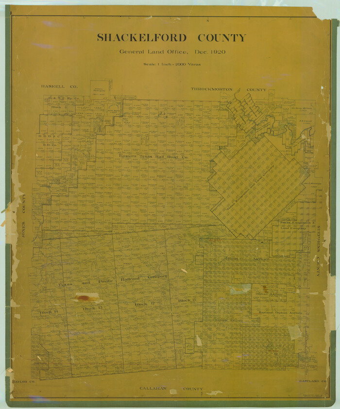
Shackelford County
16813, Shackelford County, General Map Collection
Print $20.00 - Digital $50.00

Shackelford County

1920

  • Size

    44.6 x 37.1 inches

  • Map/Doc

    16813

  • Creation Date

    1920

Shackelford County
73287, Shackelford County, General Map Collection
Print $20.00 - Digital $50.00

Shackelford County

1972

  • Size

    42.8 x 36.3 inches

  • Map/Doc

    73287

  • Creation Date

    1972

Shackelford County
77420, Shackelford County, General Map Collection
Print $20.00 - Digital $50.00

Shackelford County

1972

  • Size

    41.1 x 35.0 inches

  • Map/Doc

    77420

  • Creation Date

    1972

Shackelford County
93031, Shackelford County, Twichell Survey Records
Print $20.00 - Digital $50.00

Shackelford County

1920

  • Size

    39.2 x 46.1 inches

  • Map/Doc

    93031

  • Creation Date

    1920

Shackelford County
95638, Shackelford County, General Map Collection
Print $20.00 - Digital $50.00

Shackelford County

1972

  • Size

    43.9 x 37.3 inches

  • Map/Doc

    95638

  • Creation Date

    1972

Shackelford County Boundary File 1
58625, Shackelford County Boundary File 1, General Map Collection
Print $17.00 - Digital $50.00

Shackelford County Boundary File 1

  • Size

    14.0 x 8.7 inches

  • Map/Doc

    58625