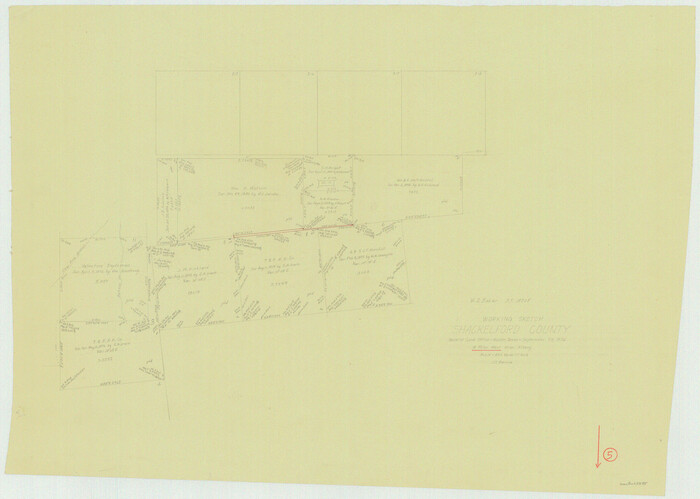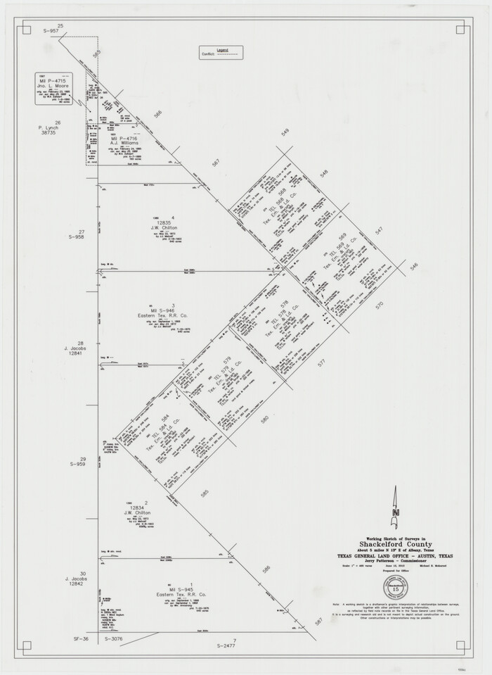
99 results

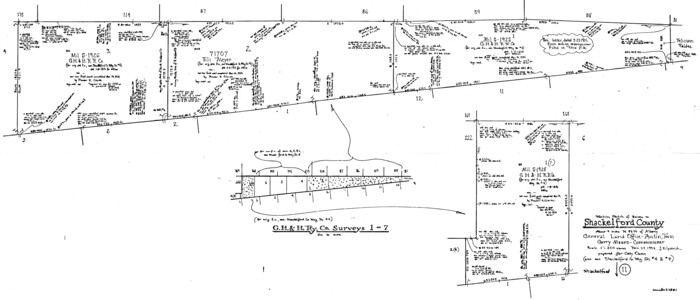
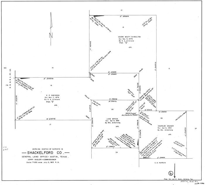
Shackelford County Working Sketch 15
93321.tif
Print $20.00 - Digital $50.00

Shackelford County Working Sketch 15

2012
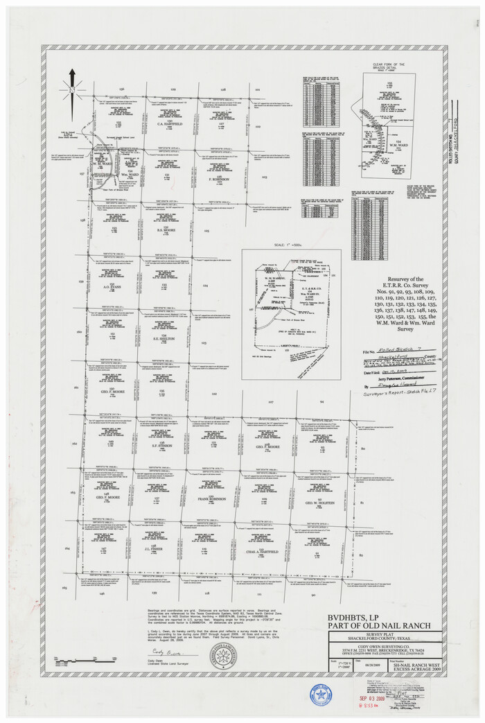
Size: 28.4 x 20.7 inches
93321
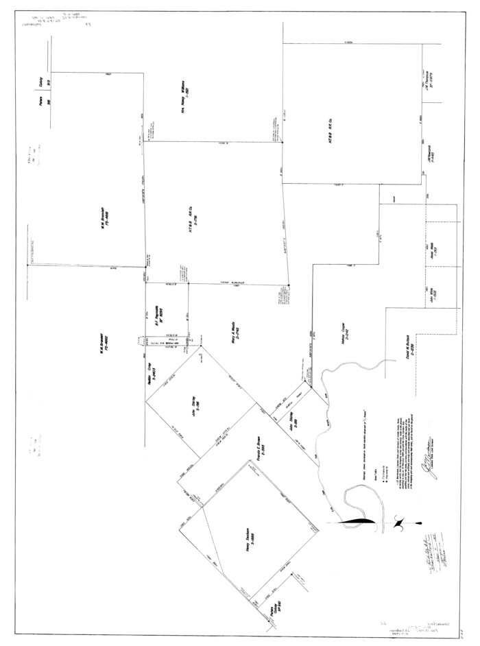
Shackelford County Rolled Sketch 7
89229.tif
Print $20.00 - Digital $50.00

Shackelford County Rolled Sketch 7

2009
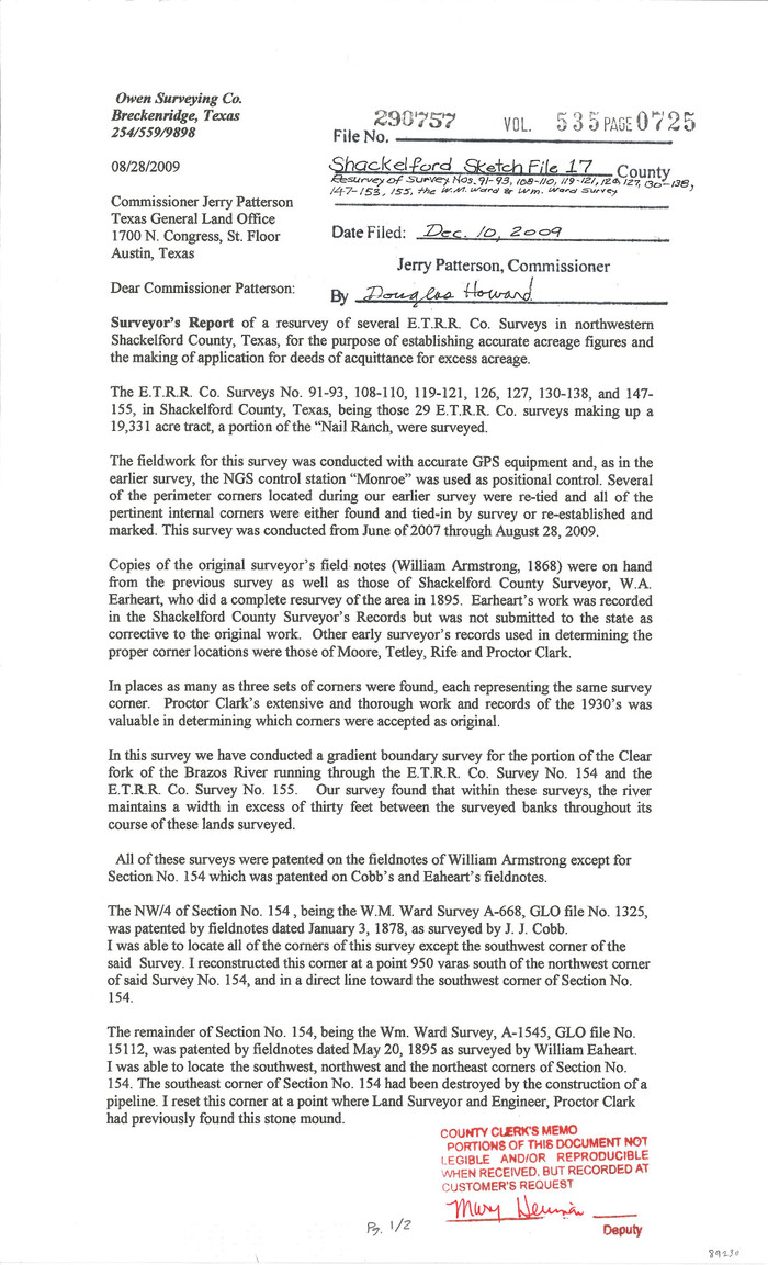
Size: 36.9 x 24.8 inches
89229
Shackelford County Sketch File 17
Print $4.00

Shackelford County Sketch File 17

2009
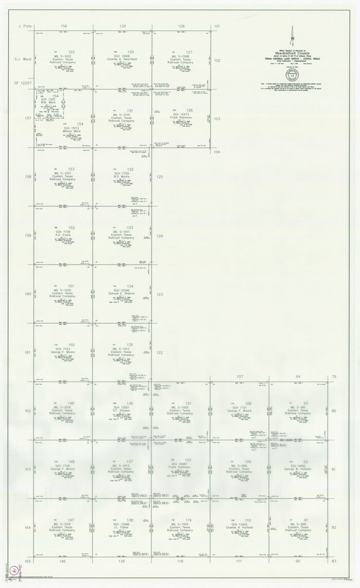
Size: 14.0 x 8.5 inches
89230
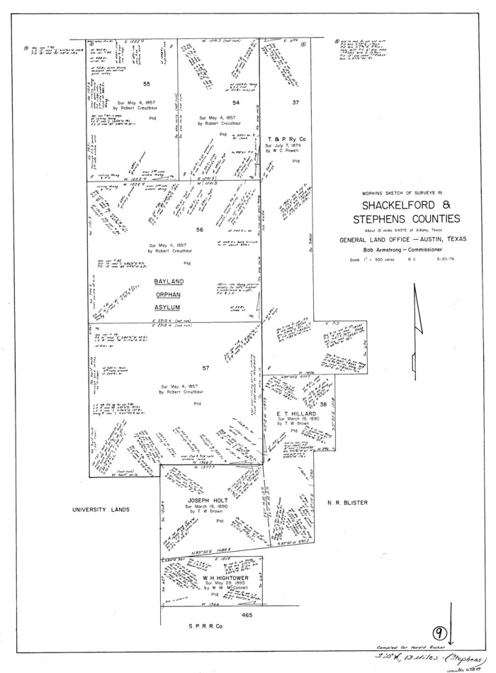
Shackelford County Working Sketch 14
88835.tif
Print $20.00 - Digital $50.00

Shackelford County Working Sketch 14

2008
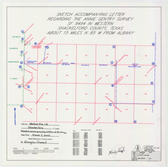
Size: 47.7 x 29.2 inches
88835
Shackelford County Sketch File 16
82982, Shackelford County Sketch File 16, General Map Collection
Print $24.00 - Digital $50.00

Shackelford County Sketch File 16

2005
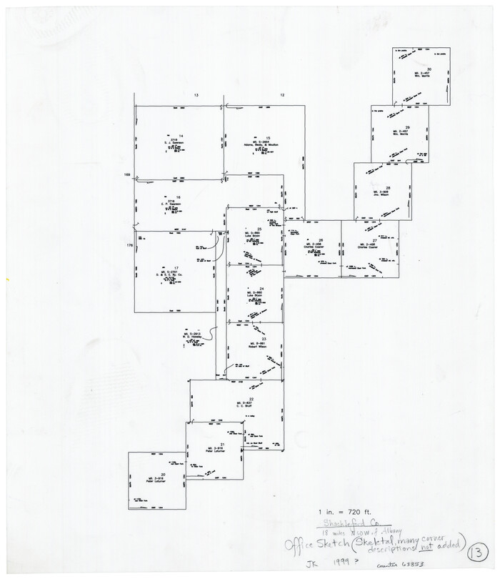
Size: 16.0 x 16.0 inches
82982
Shackelford County Rolled Sketch 6
7774.tif
Print $20.00 - Digital $50.00

Shackelford County Rolled Sketch 6

1998

Size: 24.1 x 35.9 inches
7774
Shackelford County Sketch File 15
62202, Shackelford County Sketch File 15, General Map Collection
Print $16.00 - Digital $50.00

Shackelford County Sketch File 15

1998
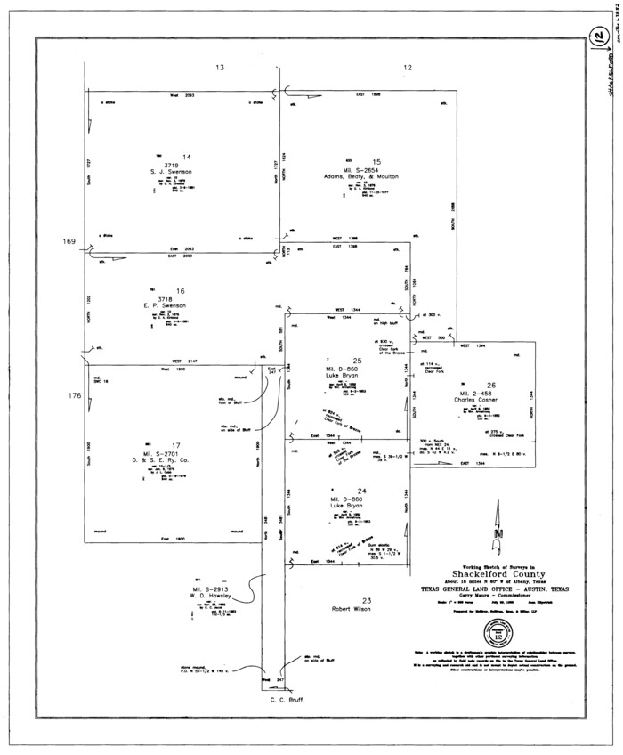
Size: 14.2 x 8.8 inches
62202
Shackelford County Rolled Sketch 5
7773.tif
Print $20.00 - Digital $50.00

Shackelford County Rolled Sketch 5

1984
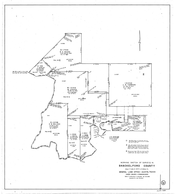
Size: 23.1 x 37.1 inches
7773
Shackelford County Rolled Sketch 4A
9917.tif
Print $40.00 - Digital $50.00

Shackelford County Rolled Sketch 4A

1984

Size: 49.0 x 36.4 inches
9917
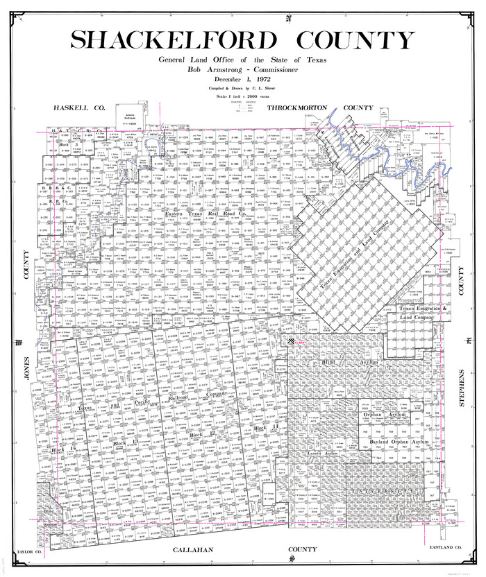
Shackelford County
73287.tif
Print $20.00 - Digital $50.00

Shackelford County

1972

Size: 42.8 x 36.3 inches
73287
Shackelford County Working Sketch Graphic Index
76696.tif
Print $20.00 - Digital $50.00

Shackelford County Working Sketch Graphic Index

1972

Size: 42.2 x 36.1 inches
76696
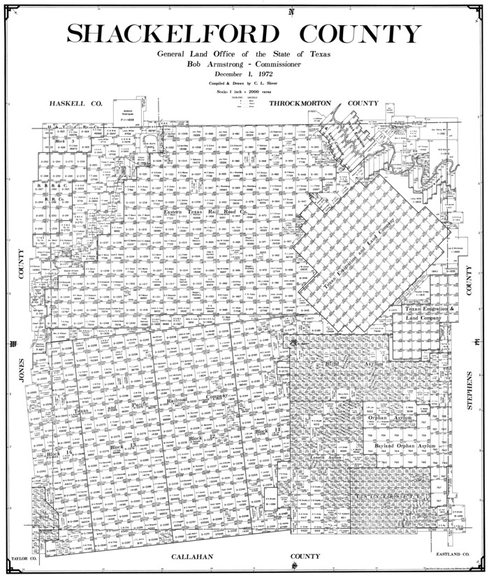
Shackelford County
77420.tif
Print $20.00 - Digital $50.00

Shackelford County

1972

Size: 41.1 x 35.0 inches
77420
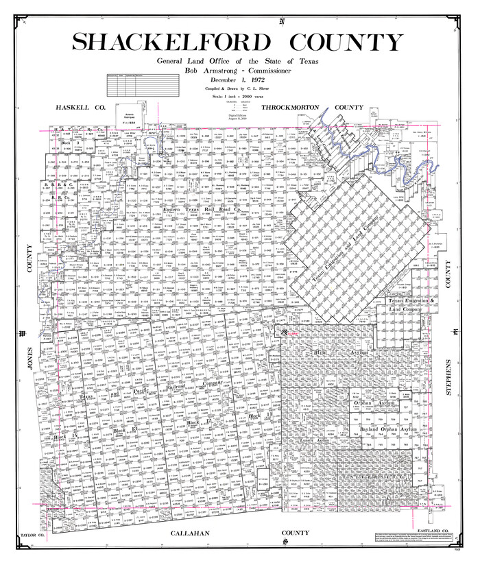
Shackelford County
95638.tif
Print $20.00 - Digital $50.00

Shackelford County

1972

Size: 43.9 x 37.3 inches
95638
General Highway Map, Shackelford County, Texas
79651.tif
Print $20.00

General Highway Map, Shackelford County, Texas

1961
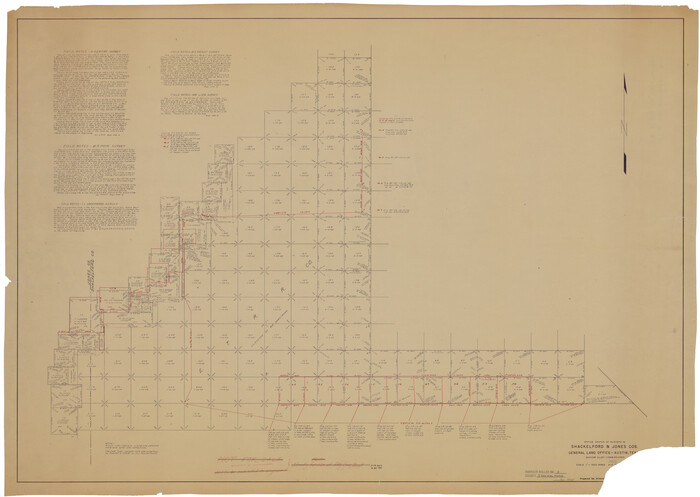
Size: 18.1 x 24.8 inches
79651
Shackelford County Rolled Sketch 3
9915.tif
Print $40.00 - Digital $50.00

Shackelford County Rolled Sketch 3

1955
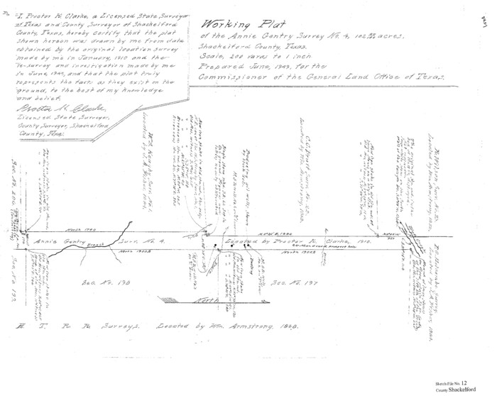
Size: 35.4 x 49.9 inches
9915
Shackelford County Sketch File 12
Print $26.00 - Digital $50.00

Shackelford County Sketch File 12

1949

Size: 14.4 x 8.8 inches
36580
Brazos River, Ft. Griffin State Park/Mill Cr.-Clear Fork of Brazos River
65291.tif
Print $4.00 - Digital $50.00

Brazos River, Ft. Griffin State Park/Mill Cr.-Clear Fork of Brazos River

1940
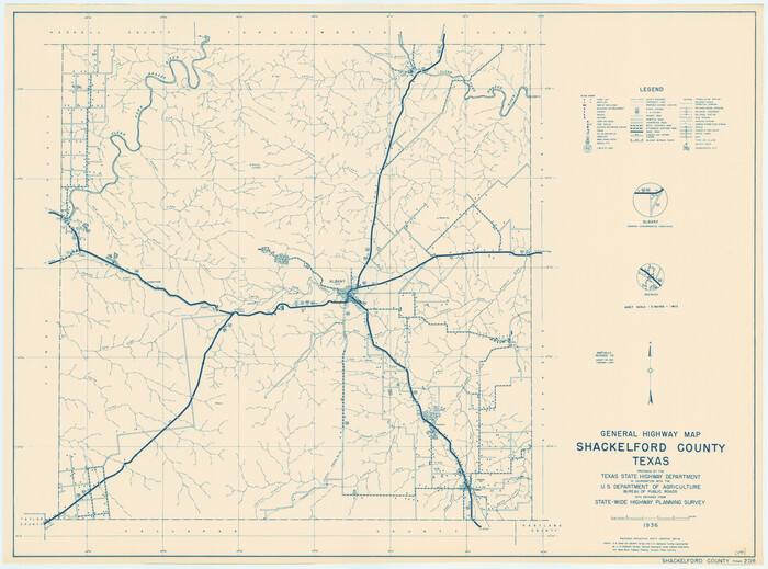
Size: 27.5 x 20.5 inches
65291
General Highway Map, Shackelford County, Texas
79241.tif
Print $20.00

General Highway Map, Shackelford County, Texas

1940

Size: 18.4 x 24.8 inches
79241
Callahan County Sketch File 14
11042, Callahan County Sketch File 14, General Map Collection
Print $40.00 - Digital $50.00

Callahan County Sketch File 14

1938

Size: 20.5 x 26.1 inches
11042
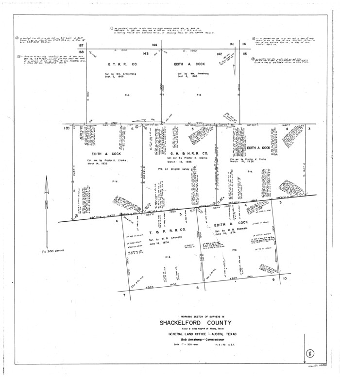
Shackelford County Sketch File 8
59290, Shackelford County Sketch File 8, General Map Collection
Print $44.00 - Digital $50.00

Shackelford County Sketch File 8

1936

Size: 11.5 x 8.8 inches
59290
Haskell County Sketch File 21
11744, Haskell County Sketch File 21, General Map Collection
Print $20.00 - Digital $50.00

Haskell County Sketch File 21

1935

Size: 30.2 x 20.3 inches
11744
Shackelford County
16813.tif
Print $20.00 - Digital $50.00

Shackelford County

1920

Size: 44.6 x 37.1 inches
16813
Shackelford County
93031.tif
Print $20.00 - Digital $50.00

Shackelford County

1920

Size: 39.2 x 46.1 inches
93031
Shackelford County Sketch File 10
12316, Shackelford County Sketch File 10, General Map Collection
Print $20.00 - Digital $50.00

Shackelford County Sketch File 10

1918

Size: 31.4 x 19.9 inches
12316
Shackelford County Sketch File 9
12315, Shackelford County Sketch File 9, General Map Collection
Print $20.00 - Digital $50.00

Shackelford County Sketch File 9

1918

Size: 24.3 x 15.5 inches
12315
Shackelford County Sketch File 11
12317, Shackelford County Sketch File 11, General Map Collection
Print $20.00 - Digital $50.00

Shackelford County Sketch File 11

1914

Size: 16.8 x 17.0 inches
12317
Shackelford County Sketch File 7
12314, Shackelford County Sketch File 7, General Map Collection
Print $20.00 - Digital $50.00

Shackelford County Sketch File 7

1912

Size: 27.2 x 13.5 inches
12314
Map of University Land in Shackelford and Callahan Counties
2435.tif
Print $20.00 - Digital $50.00

Map of University Land in Shackelford and Callahan Counties

1905

Size: 33.4 x 25.3 inches
2435
Map of Shackelford County
63031.tif
Print $20.00 - Digital $50.00

Map of Shackelford County

1901

Size: 26.5 x 21.9 inches
63031
Map of Shackelford County
4026.tif
Print $20.00 - Digital $50.00

Map of Shackelford County

1895

Size: 24.1 x 19.5 inches
4026
Shackelford County Working Sketch 15
93321, Shackelford County Working Sketch 15, General Map Collection
Print $20.00 - Digital $50.00

Shackelford County Working Sketch 15

2012

  • Size

    28.4 x 20.7 inches

  • Map/Doc

    93321

  • Creation Date

    2012

Shackelford County Rolled Sketch 7
89229, Shackelford County Rolled Sketch 7, General Map Collection
Print $20.00 - Digital $50.00

Shackelford County Rolled Sketch 7

2009

  • Size

    36.9 x 24.8 inches

  • Map/Doc

    89229

  • Creation Date

    2009

Shackelford County Sketch File 17
Print $4.00

Shackelford County Sketch File 17

2009

  • Size

    14.0 x 8.5 inches

  • Map/Doc

    89230

  • Creation Date

    2009

Shackelford County Working Sketch 14
88835, Shackelford County Working Sketch 14, General Map Collection
Print $20.00 - Digital $50.00

Shackelford County Working Sketch 14

2008

  • Size

    47.7 x 29.2 inches

  • Map/Doc

    88835

  • Creation Date

    2008

Shackelford County Sketch File 16
82982, Shackelford County Sketch File 16, General Map Collection
Print $24.00 - Digital $50.00

Shackelford County Sketch File 16

2005

  • Size

    16.0 x 16.0 inches

  • Map/Doc

    82982

  • Creation Date

    2005

Shackelford County Rolled Sketch 6
7774, Shackelford County Rolled Sketch 6, General Map Collection
Print $20.00 - Digital $50.00

Shackelford County Rolled Sketch 6

1998

  • Size

    24.1 x 35.9 inches

  • Map/Doc

    7774

  • Creation Date

    1998

Shackelford County Sketch File 15
62202, Shackelford County Sketch File 15, General Map Collection
Print $16.00 - Digital $50.00

Shackelford County Sketch File 15

1998

  • Size

    14.2 x 8.8 inches

  • Map/Doc

    62202

  • Creation Date

    1998

Shackelford County Rolled Sketch 5
7773, Shackelford County Rolled Sketch 5, General Map Collection
Print $20.00 - Digital $50.00

Shackelford County Rolled Sketch 5

1984

  • Size

    23.1 x 37.1 inches

  • Map/Doc

    7773

  • Creation Date

    1984

Shackelford County Rolled Sketch 4A
9917, Shackelford County Rolled Sketch 4A, General Map Collection
Print $40.00 - Digital $50.00

Shackelford County Rolled Sketch 4A

1984

  • Size

    49.0 x 36.4 inches

  • Map/Doc

    9917

  • Creation Date

    1984

Shackelford County
73287, Shackelford County, General Map Collection
Print $20.00 - Digital $50.00

Shackelford County

1972

  • Size

    42.8 x 36.3 inches

  • Map/Doc

    73287

  • Creation Date

    1972

Shackelford County Working Sketch Graphic Index
76696, Shackelford County Working Sketch Graphic Index, General Map Collection
Print $20.00 - Digital $50.00

Shackelford County Working Sketch Graphic Index

1972

  • Size

    42.2 x 36.1 inches

  • Map/Doc

    76696

  • Creation Date

    1972

Shackelford County
77420, Shackelford County, General Map Collection
Print $20.00 - Digital $50.00

Shackelford County

1972

  • Size

    41.1 x 35.0 inches

  • Map/Doc

    77420

  • Creation Date

    1972

Shackelford County
95638, Shackelford County, General Map Collection
Print $20.00 - Digital $50.00

Shackelford County

1972

  • Size

    43.9 x 37.3 inches

  • Map/Doc

    95638

  • Creation Date

    1972

General Highway Map, Shackelford County, Texas
79651, General Highway Map, Shackelford County, Texas, Texas State Library and Archives
Print $20.00

General Highway Map, Shackelford County, Texas

1961

  • Size

    18.1 x 24.8 inches

  • Map/Doc

    79651

  • Creation Date

    1961

Shackelford County Rolled Sketch 3
9915, Shackelford County Rolled Sketch 3, General Map Collection
Print $40.00 - Digital $50.00

Shackelford County Rolled Sketch 3

1955

  • Size

    35.4 x 49.9 inches

  • Map/Doc

    9915

  • Creation Date

    1955

Shackelford County Sketch File 12
Print $26.00 - Digital $50.00

Shackelford County Sketch File 12

1949

  • Size

    14.4 x 8.8 inches

  • Map/Doc

    36580

  • Creation Date

    1949

Brazos River, Ft. Griffin State Park/Mill Cr.-Clear Fork of Brazos River
65291, Brazos River, Ft. Griffin State Park/Mill Cr.-Clear Fork of Brazos River, General Map Collection
Print $4.00 - Digital $50.00

Brazos River, Ft. Griffin State Park/Mill Cr.-Clear Fork of Brazos River

1940

  • Size

    27.5 x 20.5 inches

  • Map/Doc

    65291

  • Creation Date

    1940

General Highway Map, Shackelford County, Texas
79241, General Highway Map, Shackelford County, Texas, Texas State Library and Archives
Print $20.00

General Highway Map, Shackelford County, Texas

1940

  • Size

    18.4 x 24.8 inches

  • Map/Doc

    79241

  • Creation Date

    1940

Callahan County Sketch File 14
11042, Callahan County Sketch File 14, General Map Collection
Print $40.00 - Digital $50.00

Callahan County Sketch File 14

1938

  • Size

    20.5 x 26.1 inches

  • Map/Doc

    11042

  • Creation Date

    1938

Shackelford County Sketch File 8
59290, Shackelford County Sketch File 8, General Map Collection
Print $44.00 - Digital $50.00

Shackelford County Sketch File 8

1936

  • Size

    11.5 x 8.8 inches

  • Map/Doc

    59290

  • Creation Date

    1936

Haskell County Sketch File 21
11744, Haskell County Sketch File 21, General Map Collection
Print $20.00 - Digital $50.00

Haskell County Sketch File 21

1935

  • Size

    30.2 x 20.3 inches

  • Map/Doc

    11744

  • Creation Date

    1935

Shackelford County
16813, Shackelford County, General Map Collection
Print $20.00 - Digital $50.00

Shackelford County

1920

  • Size

    44.6 x 37.1 inches

  • Map/Doc

    16813

  • Creation Date

    1920

Shackelford County
93031, Shackelford County, Twichell Survey Records
Print $20.00 - Digital $50.00

Shackelford County

1920

  • Size

    39.2 x 46.1 inches

  • Map/Doc

    93031

  • Creation Date

    1920

Shackelford County Sketch File 10
12316, Shackelford County Sketch File 10, General Map Collection
Print $20.00 - Digital $50.00

Shackelford County Sketch File 10

1918

  • Size

    31.4 x 19.9 inches

  • Map/Doc

    12316

  • Creation Date

    1918

Shackelford County Sketch File 9
12315, Shackelford County Sketch File 9, General Map Collection
Print $20.00 - Digital $50.00

Shackelford County Sketch File 9

1918

  • Size

    24.3 x 15.5 inches

  • Map/Doc

    12315

  • Creation Date

    1918

Shackelford County Sketch File 11
12317, Shackelford County Sketch File 11, General Map Collection
Print $20.00 - Digital $50.00

Shackelford County Sketch File 11

1914

  • Size

    16.8 x 17.0 inches

  • Map/Doc

    12317

  • Creation Date

    1914

Shackelford County Sketch File 7
12314, Shackelford County Sketch File 7, General Map Collection
Print $20.00 - Digital $50.00

Shackelford County Sketch File 7

1912

  • Size

    27.2 x 13.5 inches

  • Map/Doc

    12314

  • Creation Date

    1912

Map of University Land in Shackelford and Callahan Counties
2435, Map of University Land in Shackelford and Callahan Counties, General Map Collection
Print $20.00 - Digital $50.00

Map of University Land in Shackelford and Callahan Counties

1905

  • Size

    33.4 x 25.3 inches

  • Map/Doc

    2435

  • Creation Date

    1905

Map of Shackelford County
63031, Map of Shackelford County, General Map Collection
Print $20.00 - Digital $50.00

Map of Shackelford County

1901

  • Size

    26.5 x 21.9 inches

  • Map/Doc

    63031

  • Creation Date

    1901

Map of Shackelford County
4026, Map of Shackelford County, General Map Collection
Print $20.00 - Digital $50.00

Map of Shackelford County

1895

  • Size

    24.1 x 19.5 inches

  • Map/Doc

    4026

  • Creation Date

    1895