
Camp County Working Sketch 3
1982
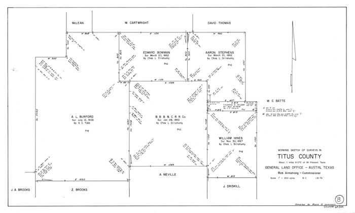
Titus County Working Sketch 8
1974

Camp County Working Sketch 1
1970

Titus County Working Sketch 7
1970
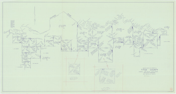
Titus County Working Sketch 6
1962
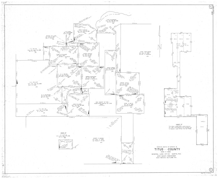
Titus County Working Sketch 5
1962

General Highway Map, Camp County, Morris County, Titus County, Texas
1961
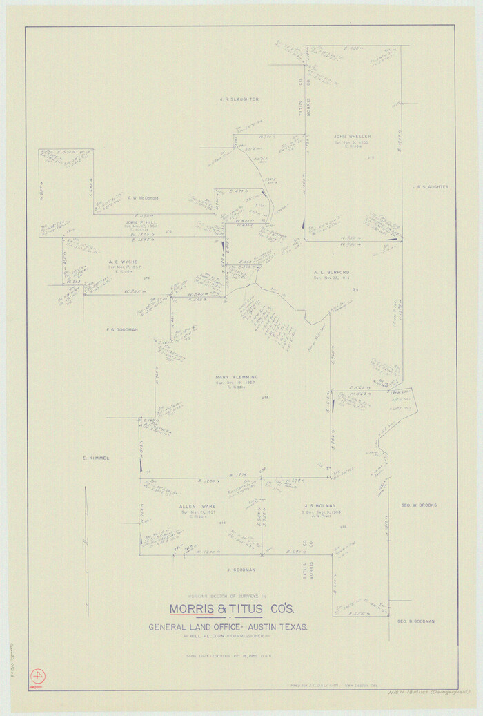
Morris County Working Sketch 4
1959
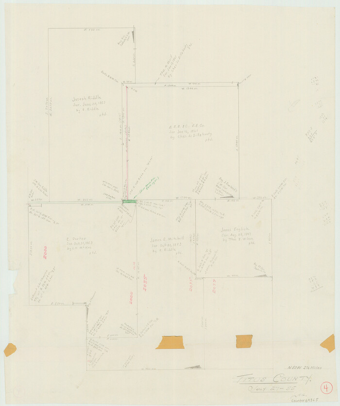
Titus County Working Sketch 4
1955
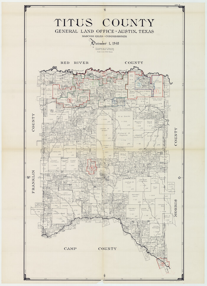
Titus County Working Sketch Graphic Index
1948

General Highway Map, Franklin County, Morris County, Titus County, Camp County
1940

Sulphur River, Bassett Sheet
1939

Sulphur River, Bassett Sheet
1939

Sulphur River, Bassett Sheet
1939

Sulphur River, Bassett Sheet
1939

Titus County Sketch File 13
1929

Red River, Water-Shed of Cypress Creek in Texas Drainage Area
1925

Levee Improvement Districts Widths of Floodways - Sulphur River and Cuthand Creek
1924
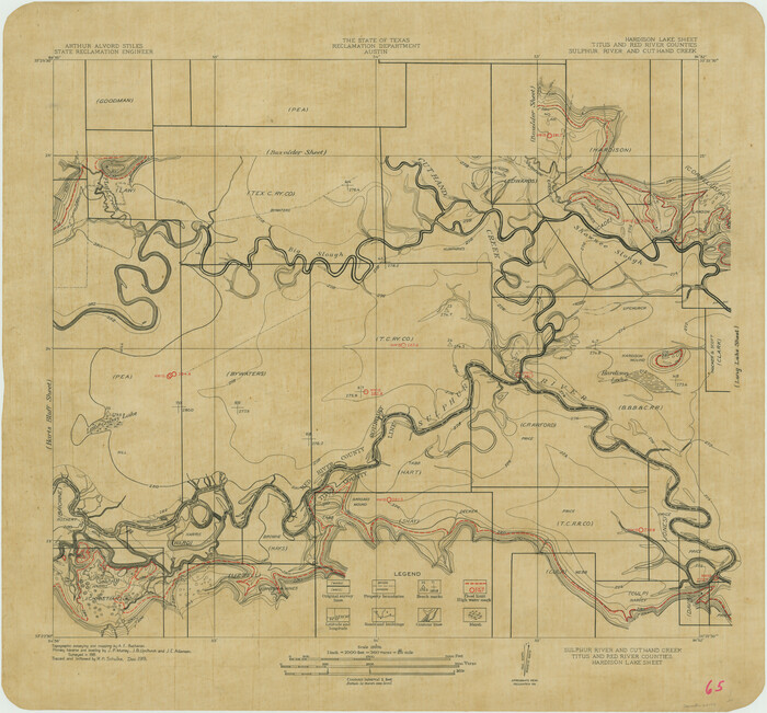
Sulphur River and Cut Hand Creek, Hardison Lake Sheet
1919
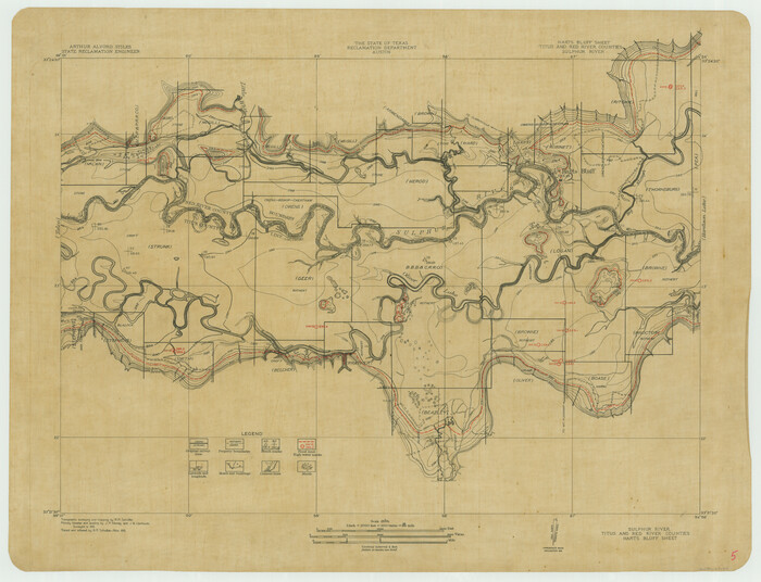
Sulphur River, Harts Bluff Sheet
1919
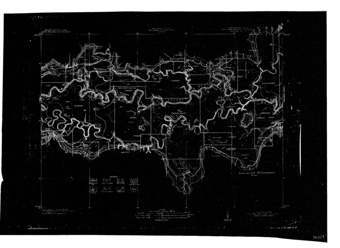
Sulphur River, Harts Bluff Sheet
1919
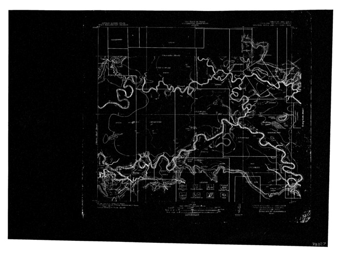
Sulphur River and Cuthand Creek, Hardison Lake Sheet
1919

Right of Way and Track Map of The Missouri, Kansas & Texas Railway of Texas
1918
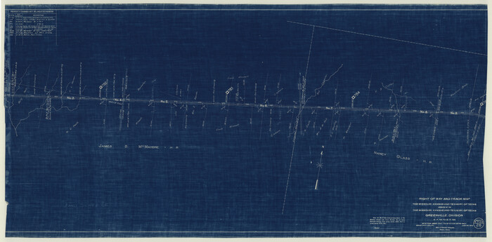
Right of Way and Track Map of The Missouri, Kansas & Texas Railway of Texas
1918
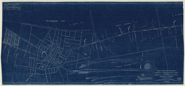
Right of Way and Track Map of The Missouri, Kansas & Texas Railway of Texas
1918
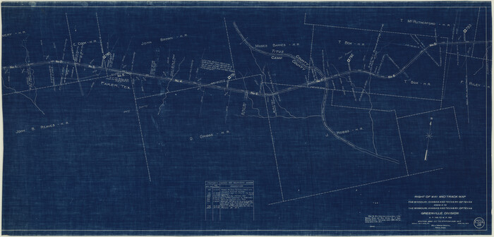
Right of Way and Track Map of The Missouri, Kansas & Texas Railway of Texas
1918

Camp County Working Sketch 3
1982
-
Size
32.1 x 24.4 inches
-
Map/Doc
67879
-
Creation Date
1982

Titus County Working Sketch 8
1974
-
Size
17.6 x 29.3 inches
-
Map/Doc
69369
-
Creation Date
1974

Camp County Working Sketch 1
1970
-
Size
32.9 x 29.7 inches
-
Map/Doc
67877
-
Creation Date
1970

Titus County Working Sketch 7
1970
-
Size
31.5 x 28.7 inches
-
Map/Doc
69368
-
Creation Date
1970

Titus County Working Sketch 6
1962
-
Size
29.8 x 55.5 inches
-
Map/Doc
69367
-
Creation Date
1962

Titus County Working Sketch 5
1962
-
Size
38.2 x 46.8 inches
-
Map/Doc
69366
-
Creation Date
1962

General Highway Map, Camp County, Morris County, Titus County, Texas
1961
-
Size
24.7 x 18.1 inches
-
Map/Doc
79400
-
Creation Date
1961

Morris County Working Sketch 4
1959
-
Size
35.2 x 23.8 inches
-
Map/Doc
71203
-
Creation Date
1959

Titus County Working Sketch 4
1955
-
Size
24.3 x 20.4 inches
-
Map/Doc
69365
-
Creation Date
1955
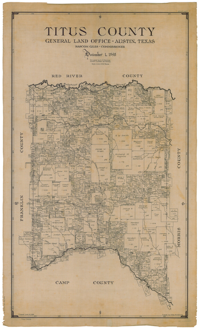
Titus County
1948
-
Size
41.8 x 25.7 inches
-
Map/Doc
63067
-
Creation Date
1948
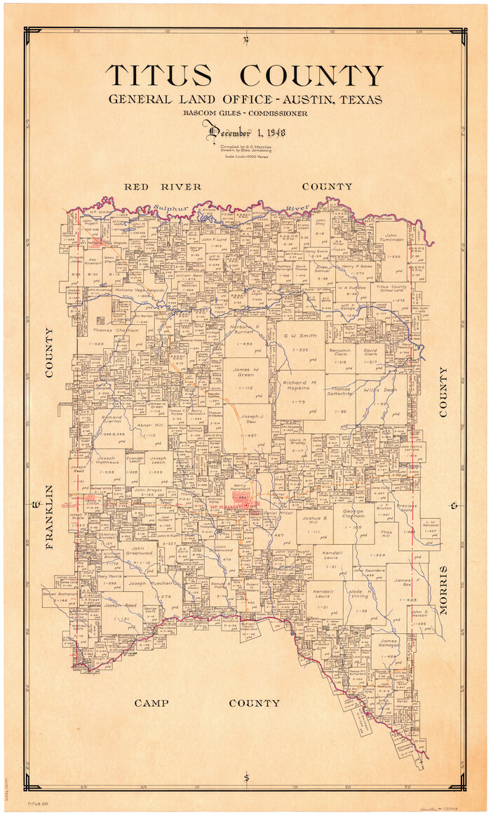
Titus County
1948
-
Size
41.2 x 25.0 inches
-
Map/Doc
73303
-
Creation Date
1948

Titus County
1948
-
Size
39.0 x 22.9 inches
-
Map/Doc
77436
-
Creation Date
1948

Titus County
1948
-
Size
41.6 x 25.2 inches
-
Map/Doc
95654
-
Creation Date
1948

Titus County Working Sketch Graphic Index
1948
-
Size
40.2 x 29.0 inches
-
Map/Doc
76714
-
Creation Date
1948

General Highway Map, Franklin County, Morris County, Titus County, Camp County
1940
-
Size
18.4 x 25.1 inches
-
Map/Doc
79040
-
Creation Date
1940

Sulphur River, Bassett Sheet
1939
-
Size
23.9 x 31.2 inches
-
Map/Doc
65176
-
Creation Date
1939

Sulphur River, Bassett Sheet
1939
-
Size
23.9 x 31.5 inches
-
Map/Doc
69683
-
Creation Date
1939

Sulphur River, Bassett Sheet
1939
-
Size
25.3 x 32.0 inches
-
Map/Doc
78320
-
Creation Date
1939

Sulphur River, Bassett Sheet
1939
-
Size
24.8 x 32.0 inches
-
Map/Doc
78322
-
Creation Date
1939

Titus County Sketch File 13
1929
-
Size
9.0 x 8.8 inches
-
Map/Doc
38154
-
Creation Date
1929

Red River, Water-Shed of Cypress Creek in Texas Drainage Area
1925
-
Size
16.3 x 19.2 inches
-
Map/Doc
65057
-
Creation Date
1925

Levee Improvement Districts Widths of Floodways - Sulphur River and Cuthand Creek
1924
-
Size
15.4 x 38.6 inches
-
Map/Doc
65155
-
Creation Date
1924

Sulphur River and Cut Hand Creek, Hardison Lake Sheet
1919
-
Size
22.5 x 24.2 inches
-
Map/Doc
65177
-
Creation Date
1919

Sulphur River, Harts Bluff Sheet
1919
-
Size
23.3 x 30.3 inches
-
Map/Doc
65159
-
Creation Date
1919

Sulphur River, Harts Bluff Sheet
1919
-
Size
13.1 x 18.0 inches
-
Map/Doc
78329
-
Creation Date
1919

Sulphur River and Cuthand Creek, Hardison Lake Sheet
1919
-
Size
13.4 x 18.0 inches
-
Map/Doc
78327
-
Creation Date
1919

Right of Way and Track Map of The Missouri, Kansas & Texas Railway of Texas
1918
-
Size
24.9 x 51.6 inches
-
Map/Doc
64535
-
Creation Date
1918

Right of Way and Track Map of The Missouri, Kansas & Texas Railway of Texas
1918
-
Size
25.0 x 50.7 inches
-
Map/Doc
64536
-
Creation Date
1918

Right of Way and Track Map of The Missouri, Kansas & Texas Railway of Texas
1918
-
Size
24.9 x 53.1 inches
-
Map/Doc
64537
-
Creation Date
1918

Right of Way and Track Map of The Missouri, Kansas & Texas Railway of Texas
1918
-
Size
24.4 x 50.7 inches
-
Map/Doc
64538
-
Creation Date
1918