Camp County Sketch File 1
 
                                                                        
                                Camp County Working Sketch 1
1970
 
                                                                        
                                Camp County Working Sketch 3
1982
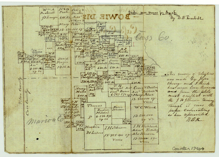
 
                                                                        
                                Cass County Sketch File 5 1/2
1851
 
                                                                        
                                Franklin County Sketch File 4
1855
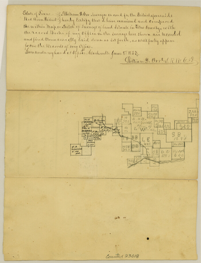
 
                                                                        
                                Franklin County Sketch File 6
1853
 
                                                                        
                                Franklin County Sketch File 7
1852
 
                                                                        
                                Franklin County Sketch File 9
 
                                                                        
                                General Highway Map, Camp County, Morris County, Titus County, Texas
1961
 
                                                                        
                                General Highway Map, Franklin County, Morris County, Titus County, Camp County
1940
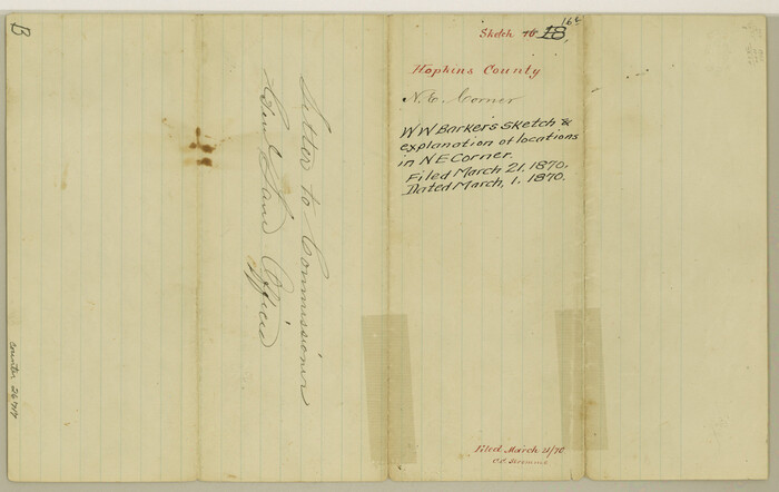
 
                                                                        
                                Hopkins County Sketch File 16b
1870
 
                                                                        
                                Hopkins County Sketch File 17
1870
 
                                                                        
                                Levee Improvement Districts Widths of Floodways - Sulphur River and Cuthand Creek
1924
 
                                                                        
                                Map Exhibiting the line of the Southern Trans-Continental R.R. from Marshall to Texarkana from Texarkana to Forth Worth
1872
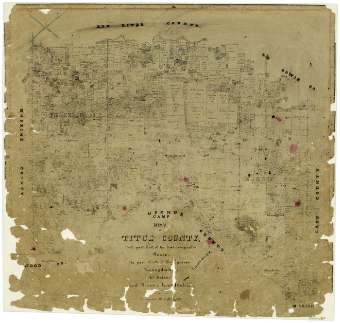
 
                                                                        
                                Map of Titus County
1860
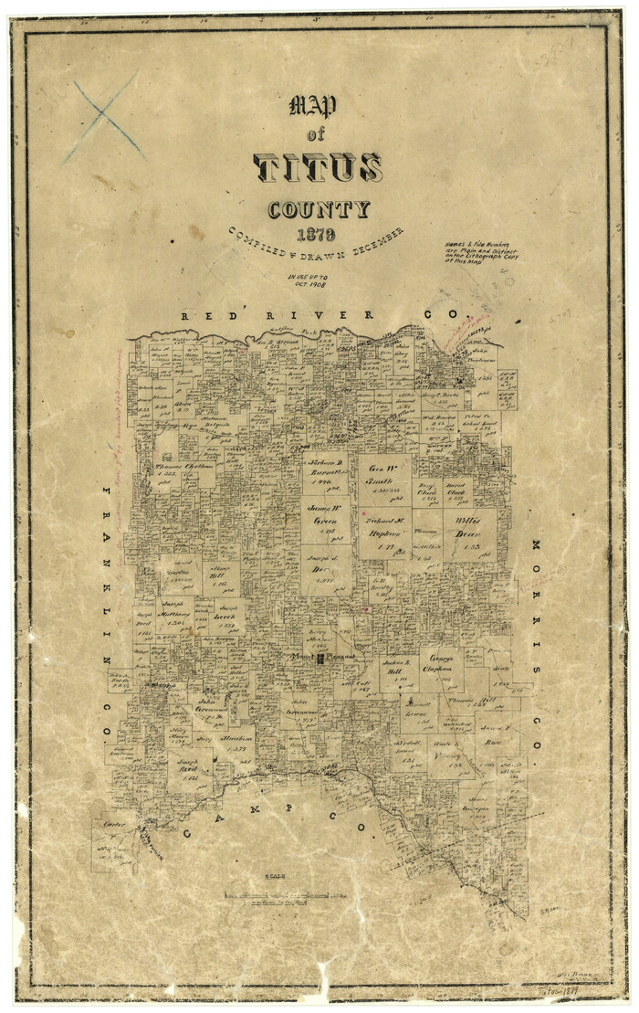
 
                                                                        
                                Map of Titus County
1879
 
                                                                        
                                Map of Titus County
1857
 
                                                                        
                                Map of Titus County
1857
 
                                                                        
                                Map of the Recognised Line M. El. P. & P. R.R. from Texas & Arkansas State Line to Milam & Bexar Land District Line
1856
 
                                                                        
                                Map of the Recognised Line, M. El. P. & P. RR. from Texas & Arkansas State Line to Milam & Bexar Land District Line
 
                                                                        
                                Missouri, Kansas & Texas Railway in Morris County
1906
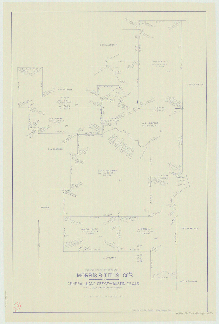
 
                                                                        
                                Morris County Working Sketch 4
1959
 
                                                                        
                                Red River, Water-Shed of Cypress Creek in Texas Drainage Area
1925
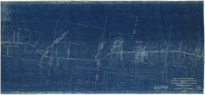
 
                                                                        
                                Right of Way and Track Map of The Missouri, Kansas & Texas Railway of Texas
1918
 
                                                                        
                                Right of Way and Track Map of The Missouri, Kansas & Texas Railway of Texas
1918
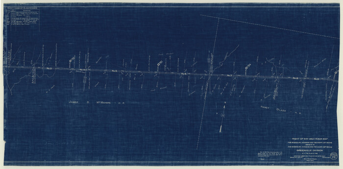
 
                                                                        
                                Right of Way and Track Map of The Missouri, Kansas & Texas Railway of Texas
1918
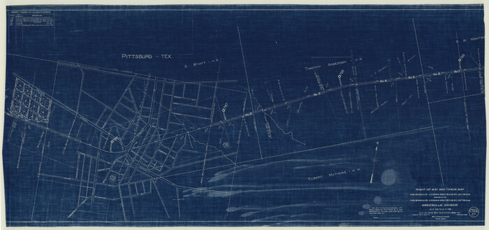
 
                                                                        
                                Right of Way and Track Map of The Missouri, Kansas & Texas Railway of Texas
1918
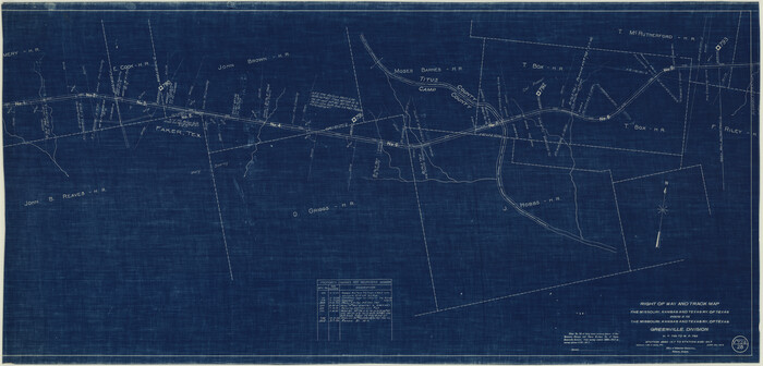
 
                                                                        
                                Right of Way and Track Map of The Missouri, Kansas & Texas Railway of Texas
1918
 
                                                                        
                                Soil Map, Texas, Titus County Sheet
1909
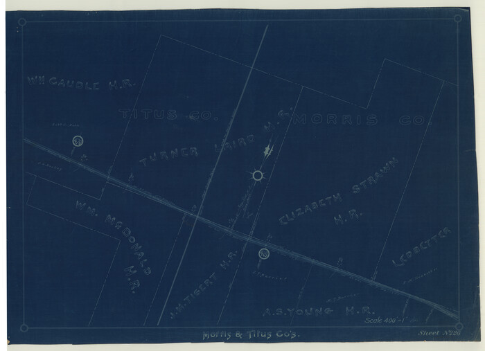
 
                                                                        
                                St. Louis Southwestern Railway of Texas
1906
 
                                                
                    Camp County Sketch File 1
- 
                                Size10.4 x 8.1 inches 
- 
                            Map/Doc17333 
 
                                                
                    Camp County Working Sketch 1
1970
- 
                                Size32.9 x 29.7 inches 
- 
                            Map/Doc67877 
- 
                                Creation Date1970 
 
                                                
                    Camp County Working Sketch 3
1982
- 
                                Size32.1 x 24.4 inches 
- 
                            Map/Doc67879 
- 
                                Creation Date1982 
 
                                                
                    Cass County Sketch File 5 1/2
1851
- 
                                Size6.1 x 8.5 inches 
- 
                            Map/Doc17404 
- 
                                Creation Date1851 
 
                                                
                    Franklin County Sketch File 4
1855
- 
                                Size13.4 x 11.4 inches 
- 
                            Map/Doc23015 
- 
                                Creation Date1855 
 
                                                
                    Franklin County Sketch File 6
1853
- 
                                Size9.6 x 7.4 inches 
- 
                            Map/Doc23018 
- 
                                Creation Date1853 
 
                                                
                    Franklin County Sketch File 7
1852
- 
                                Size8.1 x 10.1 inches 
- 
                            Map/Doc23020 
- 
                                Creation Date1852 
 
                                                
                    Franklin County Sketch File 9
- 
                                Size13.6 x 23.1 inches 
- 
                            Map/Doc11515 
 
                                                
                    General Highway Map, Camp County, Morris County, Titus County, Texas
1961
- 
                                Size24.7 x 18.1 inches 
- 
                            Map/Doc79400 
- 
                                Creation Date1961 
 
                                                
                    General Highway Map, Franklin County, Morris County, Titus County, Camp County
1940
- 
                                Size18.4 x 25.1 inches 
- 
                            Map/Doc79040 
- 
                                Creation Date1940 
 
                                                
                    Hopkins County Sketch File 16b
1870
- 
                                Size8.1 x 12.8 inches 
- 
                            Map/Doc26717 
- 
                                Creation Date1870 
 
                                                
                    Hopkins County Sketch File 17
1870
- 
                                Size7.8 x 8.0 inches 
- 
                            Map/Doc26720 
- 
                                Creation Date1870 
 
                                                
                    Levee Improvement Districts Widths of Floodways - Sulphur River and Cuthand Creek
1924
- 
                                Size15.4 x 38.6 inches 
- 
                            Map/Doc65155 
- 
                                Creation Date1924 
 
                                                
                    Map Exhibiting the line of the Southern Trans-Continental R.R. from Marshall to Texarkana from Texarkana to Forth Worth
1872
- 
                                Size24.6 x 47.8 inches 
- 
                            Map/Doc64241 
- 
                                Creation Date1872 
 
                                                
                    Map of Titus County
1860
- 
                                Size20.9 x 21.8 inches 
- 
                            Map/Doc4081 
- 
                                Creation Date1860 
 
                                                
                    Map of Titus County
1879
- 
                                Size23.3 x 14.7 inches 
- 
                            Map/Doc4082 
- 
                                Creation Date1879 
 
                                                
                    Map of Titus County
1857
- 
                                Size23.8 x 34.3 inches 
- 
                            Map/Doc4857 
- 
                                Creation Date1857 
 
                                                
                    Map of Titus County
1857
- 
                                Size24.1 x 34.5 inches 
- 
                            Map/Doc83380 
- 
                                Creation Date1857 
 
                                                
                    Map of the Recognised Line M. El. P. & P. R.R. from Texas & Arkansas State Line to Milam & Bexar Land District Line
1856
- 
                                Size14.3 x 89.8 inches 
- 
                            Map/Doc64053 
- 
                                Creation Date1856 
 
                                                
                    Map of the Recognised Line, M. El. P. & P. RR. from Texas & Arkansas State Line to Milam & Bexar Land District Line
- 
                                Size15.3 x 89.4 inches 
- 
                            Map/Doc64638 
 
                                                
                    Missouri, Kansas & Texas Railway in Morris County
1906
- 
                                Size14.9 x 36.2 inches 
- 
                            Map/Doc64274 
- 
                                Creation Date1906 
 
                                                
                    Morris County Working Sketch 4
1959
- 
                                Size35.2 x 23.8 inches 
- 
                            Map/Doc71203 
- 
                                Creation Date1959 
 
                                                
                    Red River, Water-Shed of Cypress Creek in Texas Drainage Area
1925
- 
                                Size16.3 x 19.2 inches 
- 
                            Map/Doc65057 
- 
                                Creation Date1925 
 
                                                
                    Right of Way and Track Map of The Missouri, Kansas & Texas Railway of Texas
1918
- 
                                Size24.8 x 53.4 inches 
- 
                            Map/Doc64534 
- 
                                Creation Date1918 
 
                                                
                    Right of Way and Track Map of The Missouri, Kansas & Texas Railway of Texas
1918
- 
                                Size24.9 x 51.6 inches 
- 
                            Map/Doc64535 
- 
                                Creation Date1918 
 
                                                
                    Right of Way and Track Map of The Missouri, Kansas & Texas Railway of Texas
1918
- 
                                Size25.0 x 50.7 inches 
- 
                            Map/Doc64536 
- 
                                Creation Date1918 
 
                                                
                    Right of Way and Track Map of The Missouri, Kansas & Texas Railway of Texas
1918
- 
                                Size24.9 x 53.1 inches 
- 
                            Map/Doc64537 
- 
                                Creation Date1918 
 
                                                
                    Right of Way and Track Map of The Missouri, Kansas & Texas Railway of Texas
1918
- 
                                Size24.4 x 50.7 inches 
- 
                            Map/Doc64538 
- 
                                Creation Date1918 
 
                                                
                    Soil Map, Texas, Titus County Sheet
1909
- 
                                Size30.5 x 22.4 inches 
- 
                            Map/Doc3080 
- 
                                Creation Date1909 
 
                                                
                    St. Louis Southwestern Railway of Texas
1906
- 
                                Size21.7 x 30.0 inches 
- 
                            Map/Doc64452 
- 
                                Creation Date1906