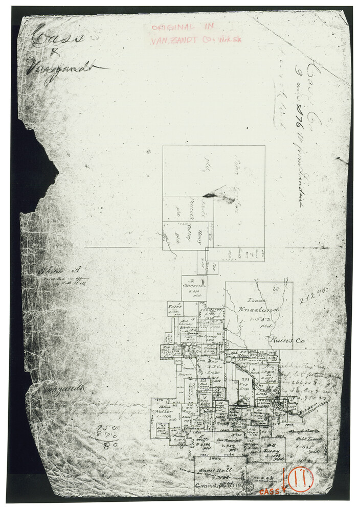
Cass County Working Sketch 11

Print $3.00
- Digital $50.00
Cass County Working Sketch 11
Size: 14.8 x 10.3 inches
67914
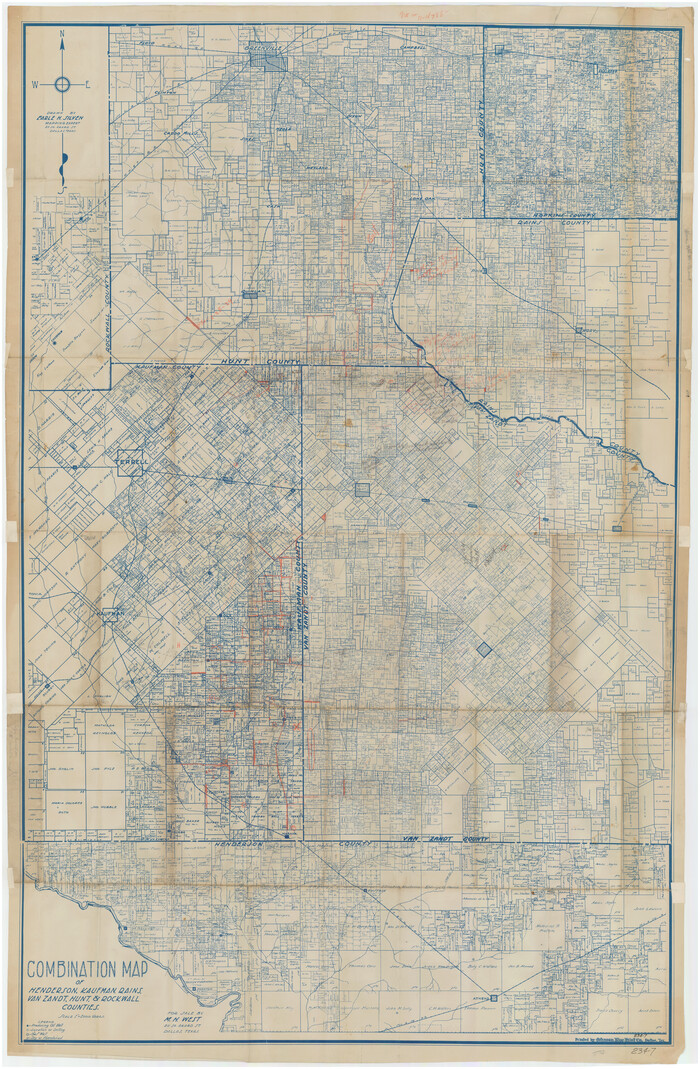
Combination Map of Henderson, Kaufman, Rains, Van Zandt, Hunt & Rockwall Counties

Print $40.00
- Digital $50.00
Combination Map of Henderson, Kaufman, Rains, Van Zandt, Hunt & Rockwall Counties
Size: 42.6 x 64.8 inches
89810
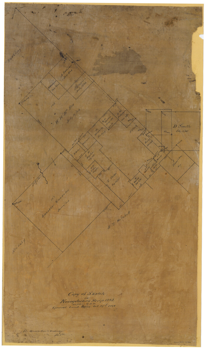
Copy of Sketch in Nacogdoches Scrip 1392

Print $20.00
- Digital $50.00
Copy of Sketch in Nacogdoches Scrip 1392
1890
Size: 25.3 x 14.7 inches
75780
Copy of sketch in Nacogdoches Donation 724 on file in GLO


Print $20.00
- Digital $50.00
Copy of sketch in Nacogdoches Donation 724 on file in GLO
1890
Size: 18.0 x 10.9 inches
75803
English Field Notes of the Spanish Archives - Books SAS, DB4, GWS, JWB, and JWB3


English Field Notes of the Spanish Archives - Books SAS, DB4, GWS, JWB, and JWB3
1835
96551
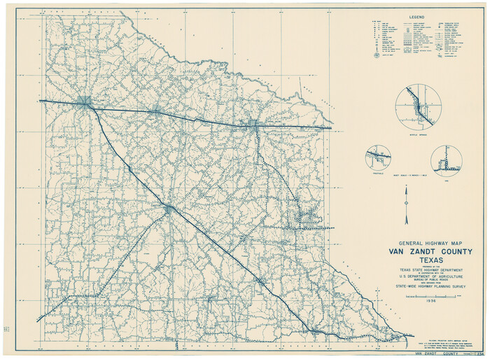
General Highway Map, Van Zandt County, Texas

Print $20.00
General Highway Map, Van Zandt County, Texas
1936
Size: 18.2 x 25.1 inches
79267
General Highway Map, Van Zandt County, Texas
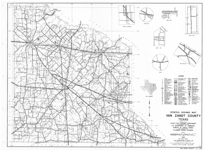

Print $20.00
General Highway Map, Van Zandt County, Texas
1961
Size: 18.2 x 24.8 inches
79696
Henderson County Working Sketch 16


Print $40.00
- Digital $50.00
Henderson County Working Sketch 16
1937
Size: 49.9 x 30.9 inches
66149
Henderson County Working Sketch 19
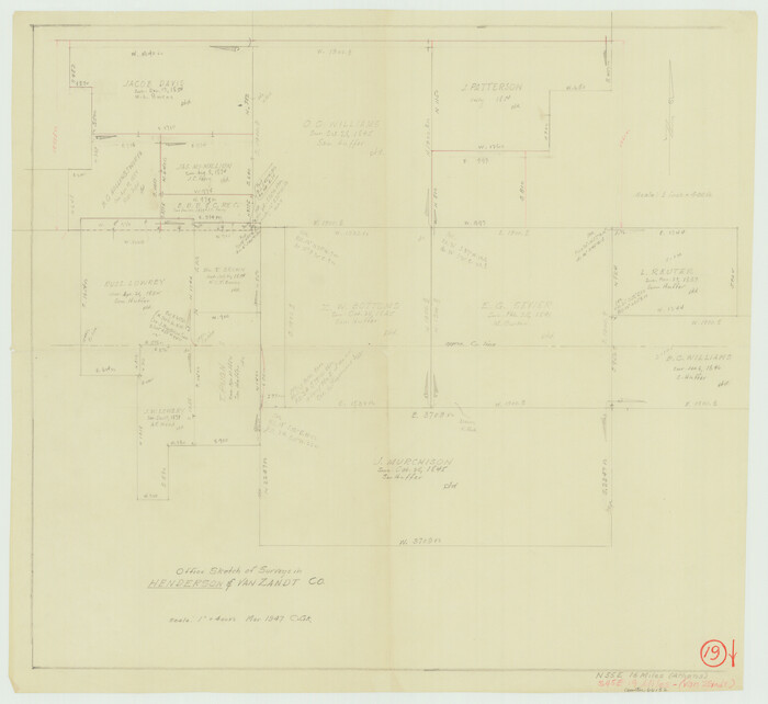

Print $20.00
- Digital $50.00
Henderson County Working Sketch 19
1947
Size: 18.6 x 20.3 inches
66152
Henderson County Working Sketch 20


Print $20.00
- Digital $50.00
Henderson County Working Sketch 20
1947
Size: 31.6 x 18.9 inches
66153
Henderson County Working Sketch 25
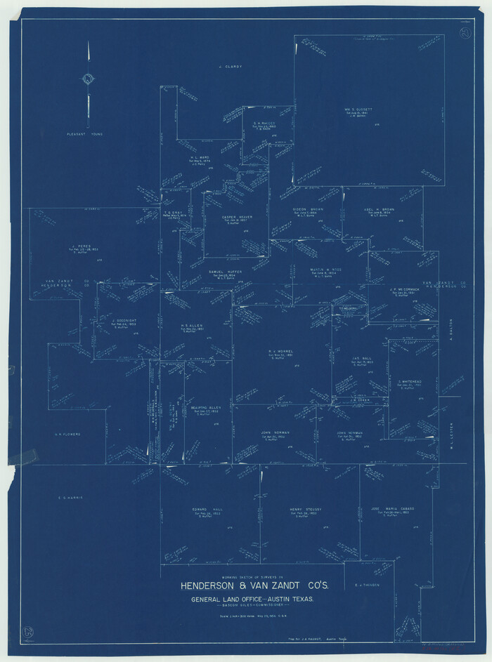

Print $20.00
- Digital $50.00
Henderson County Working Sketch 25
1954
Size: 42.0 x 31.2 inches
66158
Henderson County Working Sketch 41
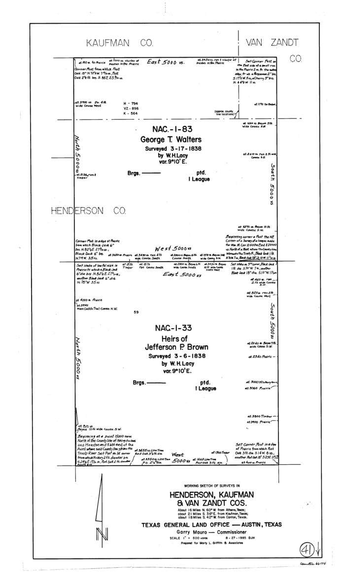

Print $20.00
- Digital $50.00
Henderson County Working Sketch 41
1985
Size: 28.8 x 17.0 inches
66174
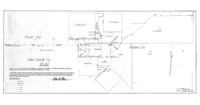
Hunt County Rolled Sketch 3

Print $20.00
- Digital $50.00
Hunt County Rolled Sketch 3
Size: 19.1 x 36.0 inches
6267
Hunt County Rolled Sketch 3A


Print $40.00
- Digital $50.00
Hunt County Rolled Sketch 3A
1959
Size: 23.9 x 52.8 inches
9241
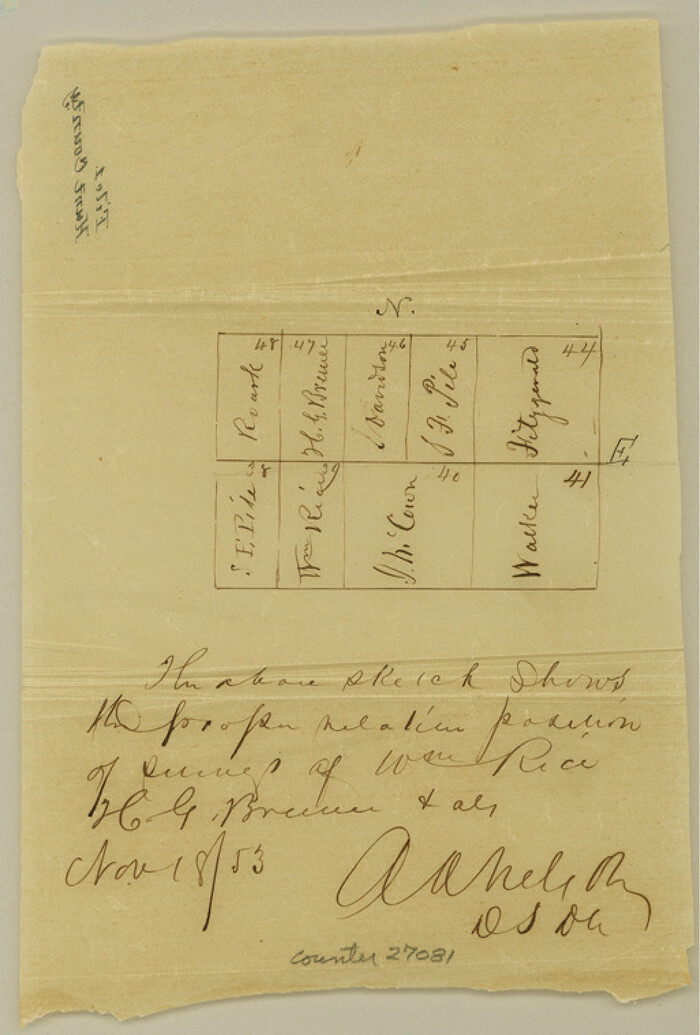
Hunt County Sketch File 1

Print $4.00
- Digital $50.00
Hunt County Sketch File 1
1853
Size: 7.6 x 5.1 inches
27081
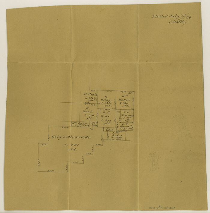
Hunt County Sketch File 38

Print $6.00
- Digital $50.00
Hunt County Sketch File 38
Size: 11.0 x 10.8 inches
27157
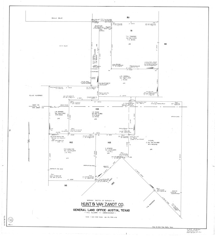
Hunt County Working Sketch 9

Print $20.00
- Digital $50.00
Hunt County Working Sketch 9
1959
Size: 33.8 x 30.6 inches
66356
Kaufman County Sketch File 1


Print $4.00
- Digital $50.00
Kaufman County Sketch File 1
Size: 8.3 x 8.3 inches
28624
Kaufman County Sketch File 10


Print $4.00
- Digital $50.00
Kaufman County Sketch File 10
1873
Size: 10.2 x 8.2 inches
28643
Kaufman County Sketch File 16


Print $4.00
- Digital $50.00
Kaufman County Sketch File 16
Size: 10.1 x 8.1 inches
28655
Kaufman County Sketch File 5


Print $22.00
- Digital $50.00
Kaufman County Sketch File 5
1849
Size: 7.6 x 12.6 inches
28632
Kaufman County Sketch File 7


Print $5.00
- Digital $50.00
Kaufman County Sketch File 7
1847
Size: 8.3 x 10.1 inches
28636
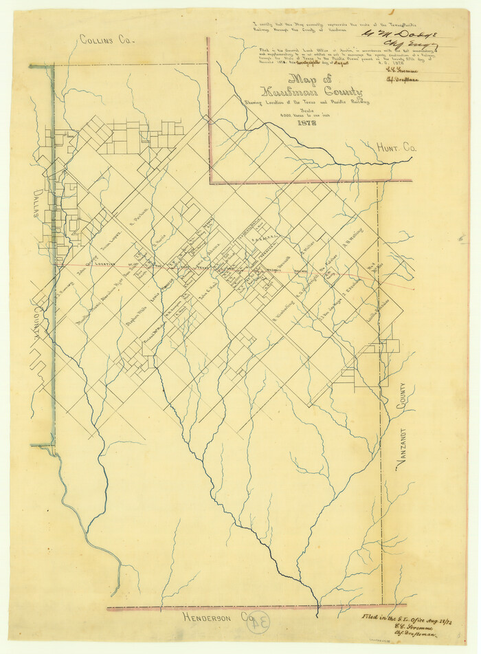
Map of Kaufman County showing location of the Texas and Pacific Railway

Print $20.00
- Digital $50.00
Map of Kaufman County showing location of the Texas and Pacific Railway
1872
Size: 24.2 x 17.8 inches
64138
Map of Van Zandt County


Print $20.00
- Digital $50.00
Map of Van Zandt County
1853
Size: 19.4 x 20.6 inches
16957
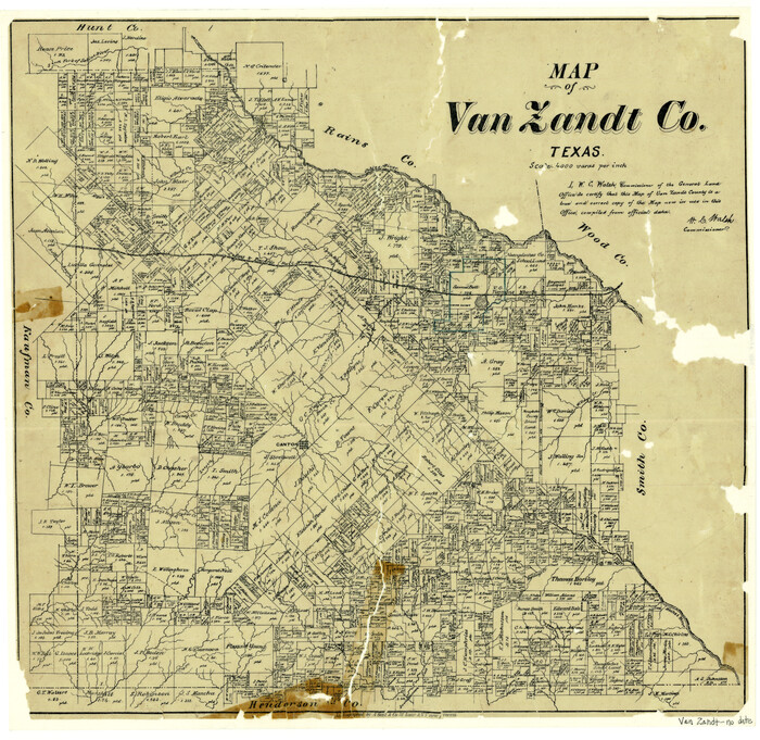
Map of Van Zandt County Texas

Print $20.00
- Digital $50.00
Map of Van Zandt County Texas
1880
Size: 19.0 x 19.6 inches
4113
Map of Van Zandt County, Texas


Print $20.00
- Digital $50.00
Map of Van Zandt County, Texas
1879
Size: 20.6 x 21.7 inches
443
Map of Wood County, Texas


Print $20.00
- Digital $50.00
Map of Wood County, Texas
1879
Size: 17.5 x 17.1 inches
659
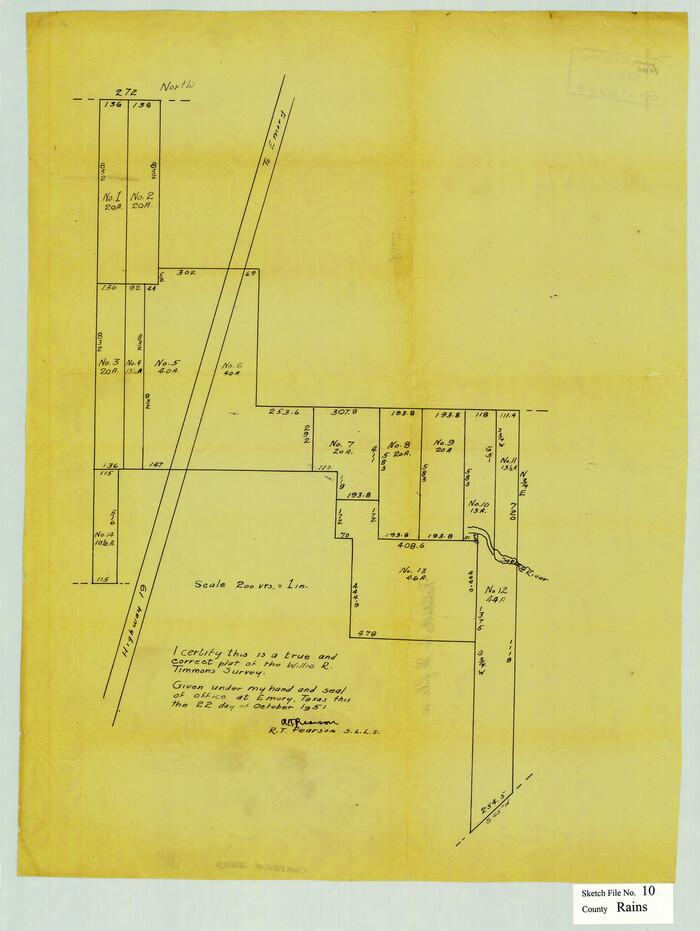
Rains County Sketch File 10

Print $20.00
- Digital $50.00
Rains County Sketch File 10
Size: 20.9 x 15.7 inches
12203
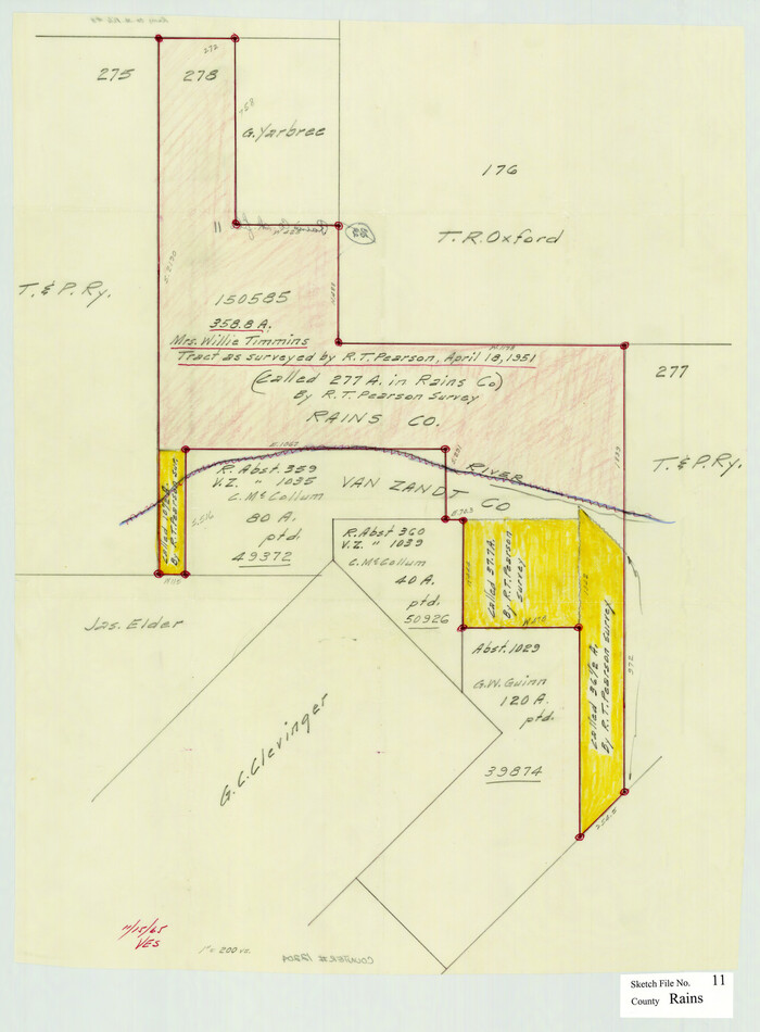
Rains County Sketch File 11

Print $20.00
- Digital $50.00
Rains County Sketch File 11
Size: 21.1 x 15.5 inches
12204
Rains County Sketch File 9


Print $20.00
- Digital $50.00
Rains County Sketch File 9
Size: 14.2 x 16.3 inches
34960
Cass County Working Sketch 11


Print $3.00
- Digital $50.00
Cass County Working Sketch 11
-
Size
14.8 x 10.3 inches
-
Map/Doc
67914
Combination Map of Henderson, Kaufman, Rains, Van Zandt, Hunt & Rockwall Counties


Print $40.00
- Digital $50.00
Combination Map of Henderson, Kaufman, Rains, Van Zandt, Hunt & Rockwall Counties
-
Size
42.6 x 64.8 inches
-
Map/Doc
89810
Copy of Sketch in Nacogdoches Scrip 1392


Print $20.00
- Digital $50.00
Copy of Sketch in Nacogdoches Scrip 1392
1890
-
Size
25.3 x 14.7 inches
-
Map/Doc
75780
-
Creation Date
1890
Copy of sketch in Nacogdoches Donation 724 on file in GLO


Print $20.00
- Digital $50.00
Copy of sketch in Nacogdoches Donation 724 on file in GLO
1890
-
Size
18.0 x 10.9 inches
-
Map/Doc
75803
-
Creation Date
1890
English Field Notes of the Spanish Archives - Books SAS, DB4, GWS, JWB, and JWB3


English Field Notes of the Spanish Archives - Books SAS, DB4, GWS, JWB, and JWB3
1835
-
Map/Doc
96551
-
Creation Date
1835
General Highway Map, Van Zandt County, Texas


Print $20.00
General Highway Map, Van Zandt County, Texas
1936
-
Size
18.2 x 25.1 inches
-
Map/Doc
79267
-
Creation Date
1936
General Highway Map, Van Zandt County, Texas


Print $20.00
General Highway Map, Van Zandt County, Texas
1961
-
Size
18.2 x 24.8 inches
-
Map/Doc
79696
-
Creation Date
1961
Henderson County Working Sketch 16


Print $40.00
- Digital $50.00
Henderson County Working Sketch 16
1937
-
Size
49.9 x 30.9 inches
-
Map/Doc
66149
-
Creation Date
1937
Henderson County Working Sketch 19


Print $20.00
- Digital $50.00
Henderson County Working Sketch 19
1947
-
Size
18.6 x 20.3 inches
-
Map/Doc
66152
-
Creation Date
1947
Henderson County Working Sketch 20


Print $20.00
- Digital $50.00
Henderson County Working Sketch 20
1947
-
Size
31.6 x 18.9 inches
-
Map/Doc
66153
-
Creation Date
1947
Henderson County Working Sketch 25


Print $20.00
- Digital $50.00
Henderson County Working Sketch 25
1954
-
Size
42.0 x 31.2 inches
-
Map/Doc
66158
-
Creation Date
1954
Henderson County Working Sketch 41


Print $20.00
- Digital $50.00
Henderson County Working Sketch 41
1985
-
Size
28.8 x 17.0 inches
-
Map/Doc
66174
-
Creation Date
1985
Hunt County Rolled Sketch 3


Print $20.00
- Digital $50.00
Hunt County Rolled Sketch 3
-
Size
19.1 x 36.0 inches
-
Map/Doc
6267
Hunt County Rolled Sketch 3A


Print $40.00
- Digital $50.00
Hunt County Rolled Sketch 3A
1959
-
Size
23.9 x 52.8 inches
-
Map/Doc
9241
-
Creation Date
1959
Hunt County Sketch File 1


Print $4.00
- Digital $50.00
Hunt County Sketch File 1
1853
-
Size
7.6 x 5.1 inches
-
Map/Doc
27081
-
Creation Date
1853
Hunt County Sketch File 38


Print $6.00
- Digital $50.00
Hunt County Sketch File 38
-
Size
11.0 x 10.8 inches
-
Map/Doc
27157
Hunt County Working Sketch 9


Print $20.00
- Digital $50.00
Hunt County Working Sketch 9
1959
-
Size
33.8 x 30.6 inches
-
Map/Doc
66356
-
Creation Date
1959
Kaufman County Sketch File 1


Print $4.00
- Digital $50.00
Kaufman County Sketch File 1
-
Size
8.3 x 8.3 inches
-
Map/Doc
28624
Kaufman County Sketch File 10


Print $4.00
- Digital $50.00
Kaufman County Sketch File 10
1873
-
Size
10.2 x 8.2 inches
-
Map/Doc
28643
-
Creation Date
1873
Kaufman County Sketch File 16


Print $4.00
- Digital $50.00
Kaufman County Sketch File 16
-
Size
10.1 x 8.1 inches
-
Map/Doc
28655
Kaufman County Sketch File 5


Print $22.00
- Digital $50.00
Kaufman County Sketch File 5
1849
-
Size
7.6 x 12.6 inches
-
Map/Doc
28632
-
Creation Date
1849
Kaufman County Sketch File 7


Print $5.00
- Digital $50.00
Kaufman County Sketch File 7
1847
-
Size
8.3 x 10.1 inches
-
Map/Doc
28636
-
Creation Date
1847
Map of Kaufman County showing location of the Texas and Pacific Railway


Print $20.00
- Digital $50.00
Map of Kaufman County showing location of the Texas and Pacific Railway
1872
-
Size
24.2 x 17.8 inches
-
Map/Doc
64138
-
Creation Date
1872
Map of Van Zandt County


Print $20.00
- Digital $50.00
Map of Van Zandt County
1853
-
Size
19.4 x 20.6 inches
-
Map/Doc
16957
-
Creation Date
1853
Map of Van Zandt County Texas


Print $20.00
- Digital $50.00
Map of Van Zandt County Texas
1880
-
Size
19.0 x 19.6 inches
-
Map/Doc
4113
-
Creation Date
1880
Map of Van Zandt County, Texas


Print $20.00
- Digital $50.00
Map of Van Zandt County, Texas
1879
-
Size
20.6 x 21.7 inches
-
Map/Doc
443
-
Creation Date
1879
Map of Wood County, Texas


Print $20.00
- Digital $50.00
Map of Wood County, Texas
1879
-
Size
17.5 x 17.1 inches
-
Map/Doc
659
-
Creation Date
1879
Rains County Sketch File 10


Print $20.00
- Digital $50.00
Rains County Sketch File 10
-
Size
20.9 x 15.7 inches
-
Map/Doc
12203
Rains County Sketch File 11


Print $20.00
- Digital $50.00
Rains County Sketch File 11
-
Size
21.1 x 15.5 inches
-
Map/Doc
12204
Rains County Sketch File 9


Print $20.00
- Digital $50.00
Rains County Sketch File 9
-
Size
14.2 x 16.3 inches
-
Map/Doc
34960