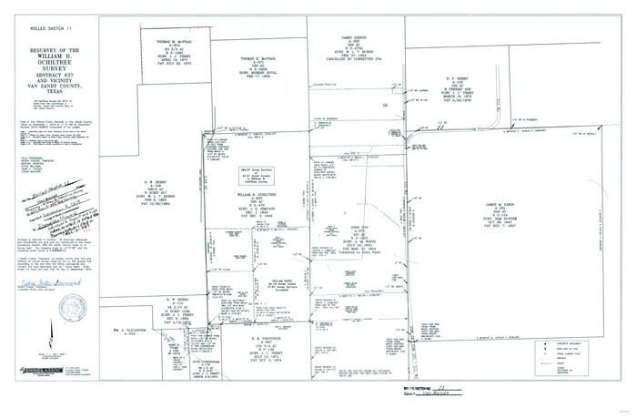
Van Zandt County Rolled Sketch 11
2019

Van Zandt County Working Sketch 20
1992
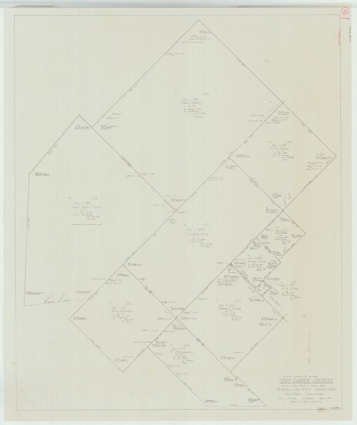
Van Zandt County Working Sketch 16
1991

Van Zandt County Sketch File 49
1990

Van Zandt County Rolled Sketch 10
1989
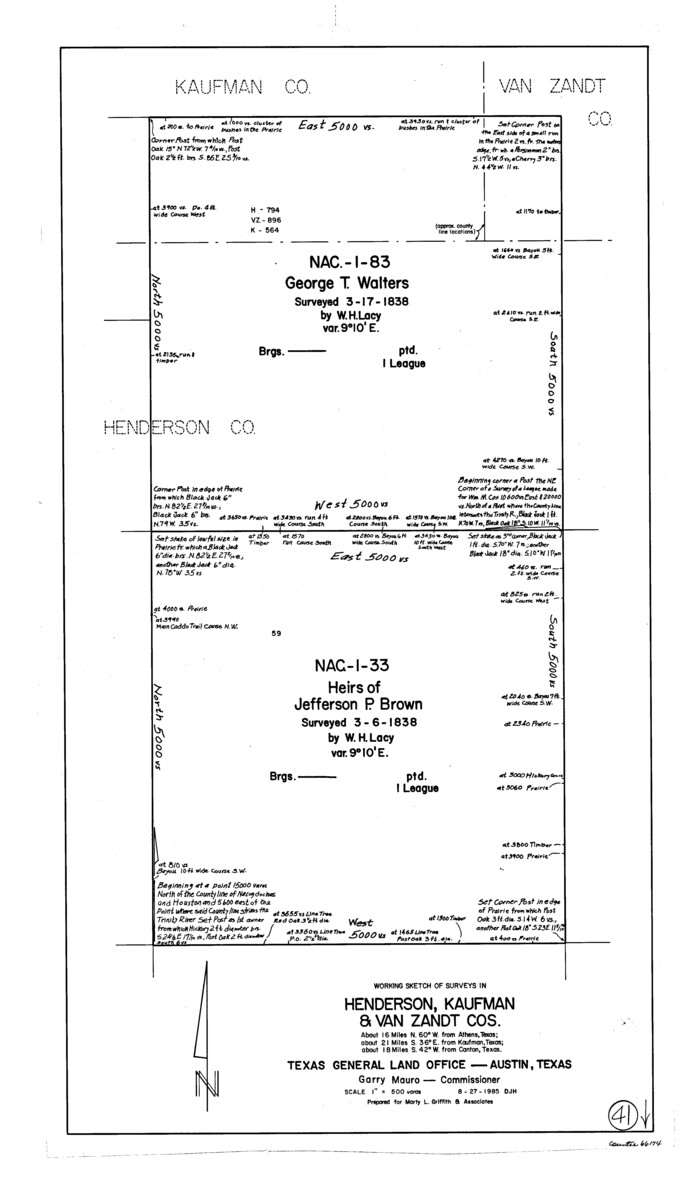
Henderson County Working Sketch 41
1985

Van Zandt County Working Sketch 15
1982
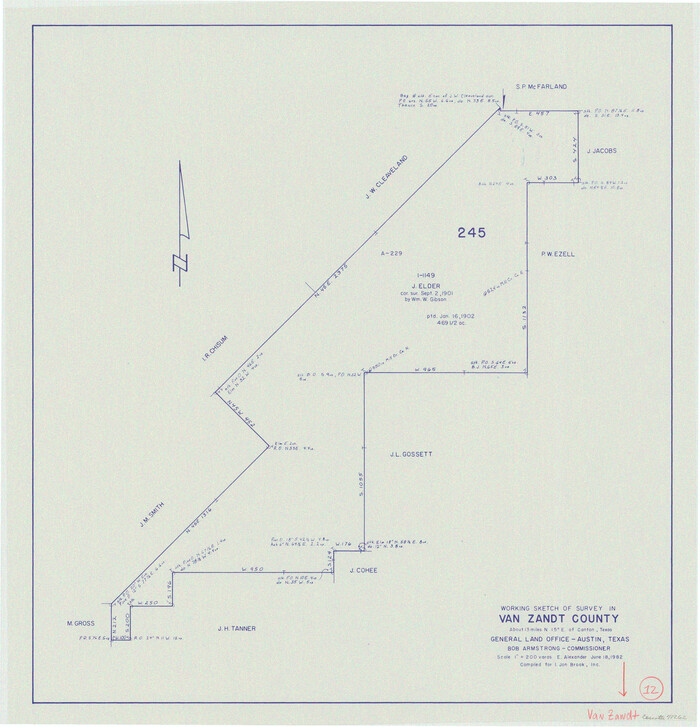
Van Zandt County Working Sketch 12
1982
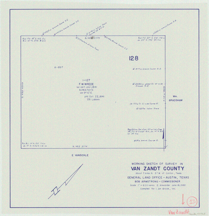
Van Zandt County Working Sketch 13
1982

Van Zandt County Working Sketch 14
1982
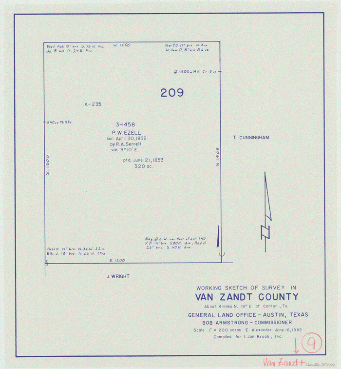
Van Zandt County Working Sketch 9
1982
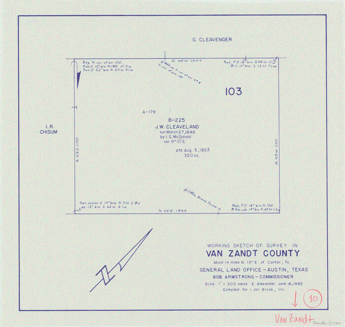
Van Zandt County Working Sketch 10
1982
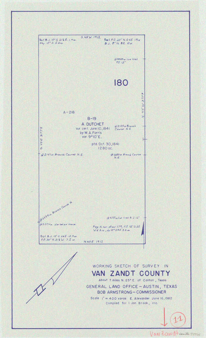
Van Zandt County Working Sketch 11
1982
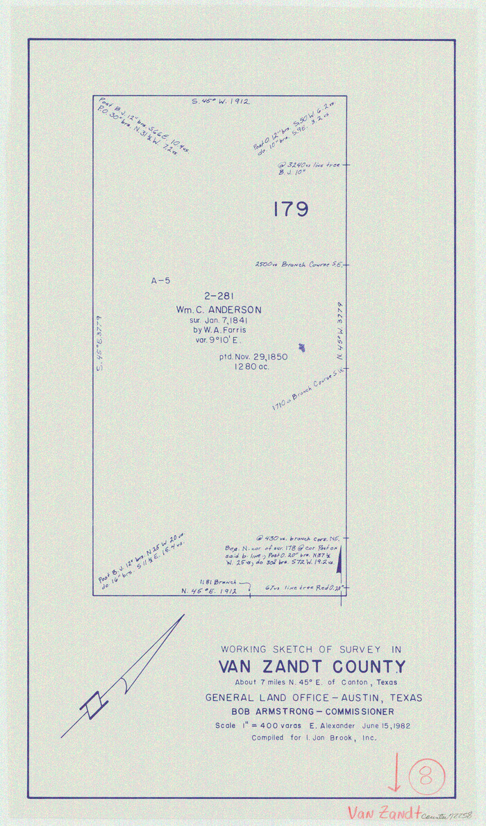
Van Zandt County Working Sketch 8
1982
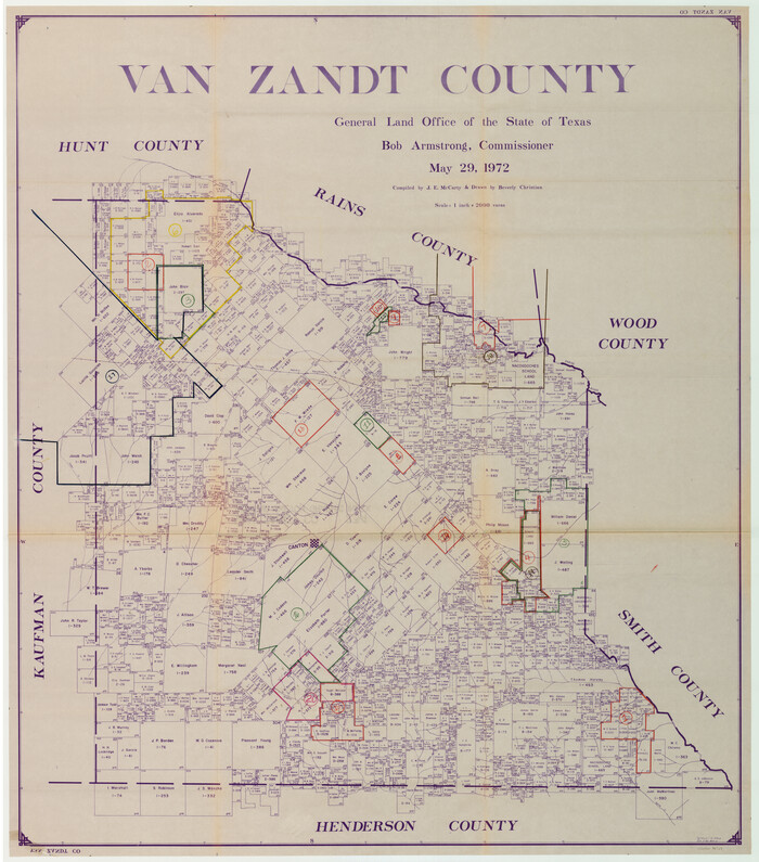
Van Zandt County Working Sketch Graphic Index
1972
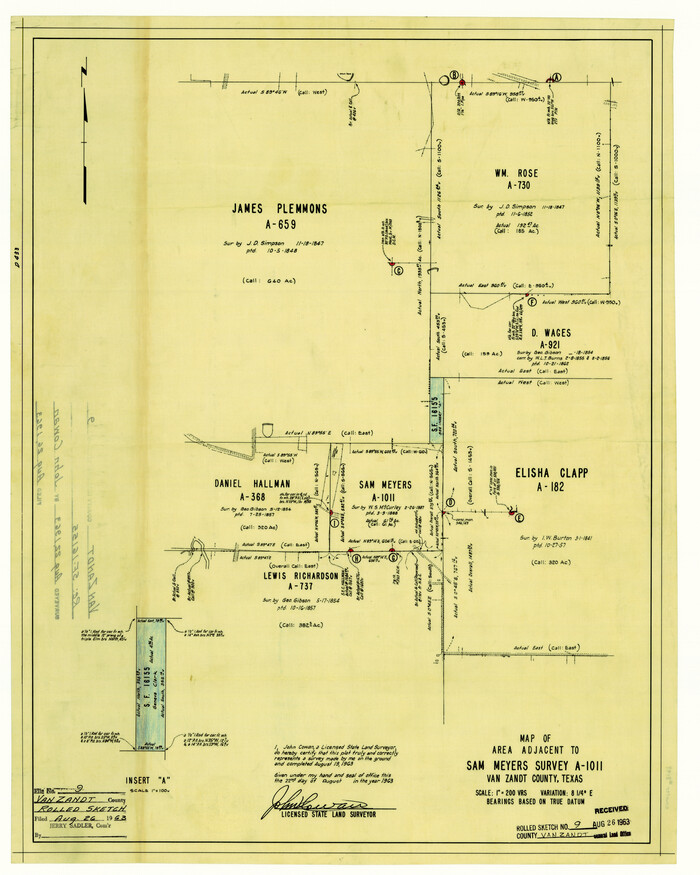
Van Zandt County Rolled Sketch 9
1963
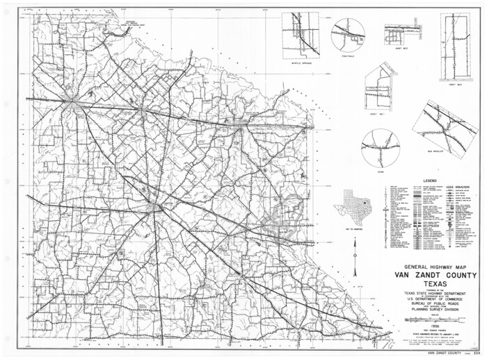
General Highway Map, Van Zandt County, Texas
1961
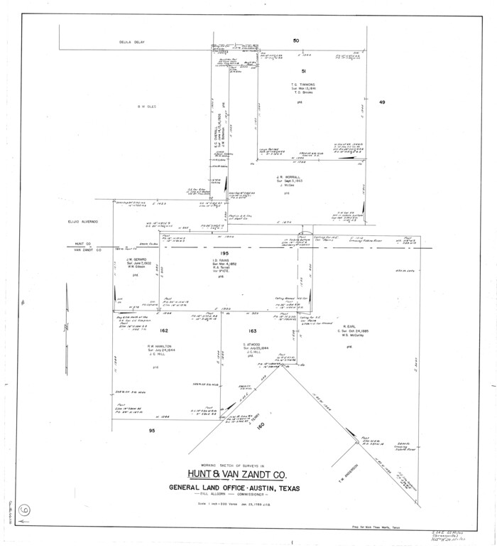
Hunt County Working Sketch 9
1959

Hunt County Rolled Sketch 3A
1959
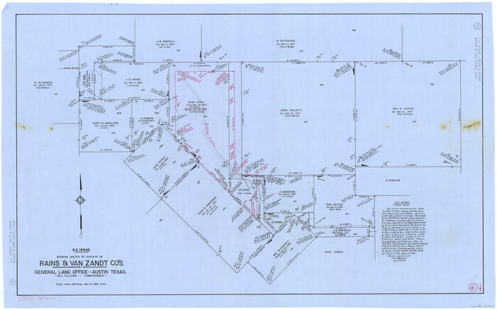
Rains County Working Sketch 6
1958
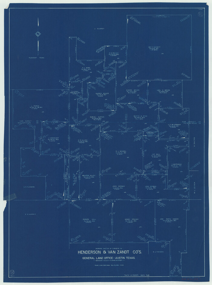
Henderson County Working Sketch 25
1954

Van Zandt County Working Sketch 7
1953
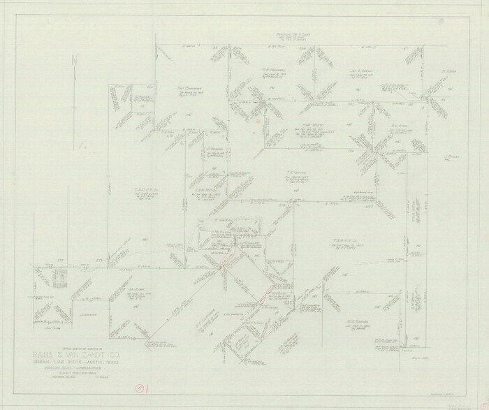
Rains County Working Sketch 5
1950
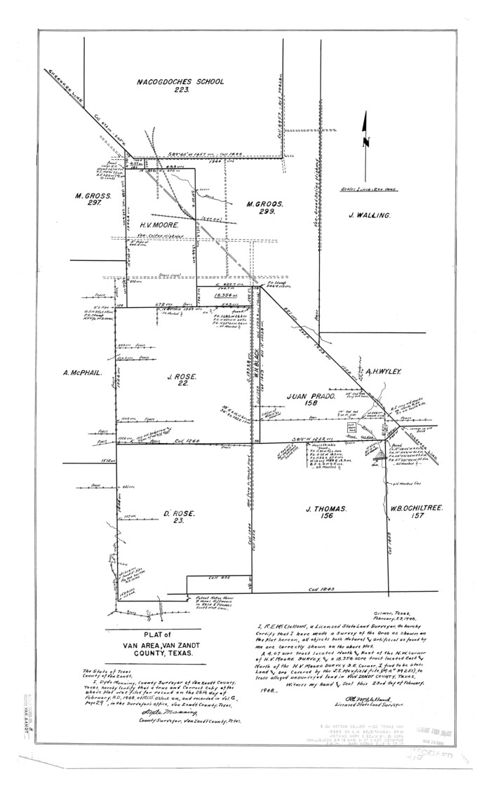
Van Zandt County Rolled Sketch 8
1948

Henderson County Working Sketch 20
1947
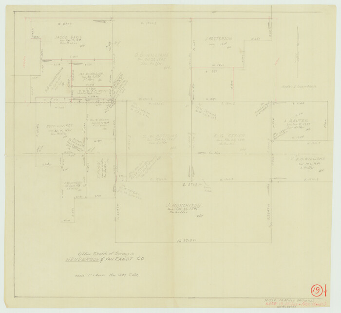
Henderson County Working Sketch 19
1947
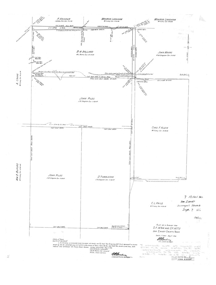
Van Zandt County Rolled Sketch 7
1946

Van Zandt County Rolled Sketch 11
2019
-
Size
23.6 x 36.0 inches
-
Map/Doc
95717
-
Creation Date
2019

Van Zandt County Working Sketch 20
1992
-
Size
30.4 x 34.7 inches
-
Map/Doc
72270
-
Creation Date
1992

Van Zandt County Working Sketch 16
1991
-
Size
40.5 x 34.0 inches
-
Map/Doc
72266
-
Creation Date
1991

Van Zandt County Sketch File 49
1990
-
Size
11.3 x 8.9 inches
-
Map/Doc
39510
-
Creation Date
1990

Van Zandt County Rolled Sketch 10
1989
-
Size
33.7 x 40.6 inches
-
Map/Doc
10092
-
Creation Date
1989

Henderson County Working Sketch 41
1985
-
Size
28.8 x 17.0 inches
-
Map/Doc
66174
-
Creation Date
1985

Van Zandt County Working Sketch 15
1982
-
Size
30.9 x 39.0 inches
-
Map/Doc
72265
-
Creation Date
1982

Van Zandt County Working Sketch 12
1982
-
Size
21.5 x 20.7 inches
-
Map/Doc
72262
-
Creation Date
1982

Van Zandt County Working Sketch 13
1982
-
Size
14.4 x 14.0 inches
-
Map/Doc
72263
-
Creation Date
1982

Van Zandt County Working Sketch 14
1982
-
Size
13.2 x 11.5 inches
-
Map/Doc
72264
-
Creation Date
1982

Van Zandt County Working Sketch 9
1982
-
Size
12.6 x 11.7 inches
-
Map/Doc
72259
-
Creation Date
1982

Van Zandt County Working Sketch 10
1982
-
Size
12.4 x 13.1 inches
-
Map/Doc
72260
-
Creation Date
1982

Van Zandt County Working Sketch 11
1982
-
Size
15.2 x 9.3 inches
-
Map/Doc
72261
-
Creation Date
1982

Van Zandt County Working Sketch 8
1982
-
Size
15.6 x 9.2 inches
-
Map/Doc
72258
-
Creation Date
1982

Van Zandt County
1972
-
Size
47.0 x 41.8 inches
-
Map/Doc
73312
-
Creation Date
1972
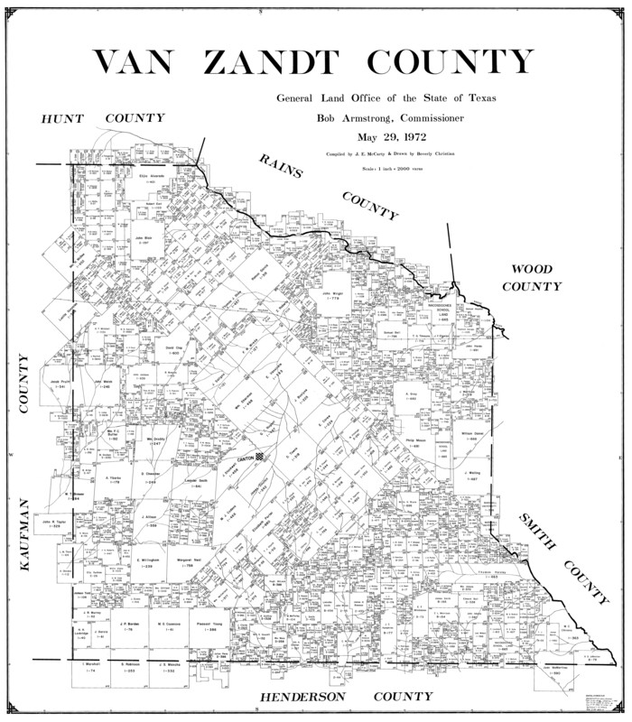
Van Zandt County
1972
-
Size
45.8 x 40.1 inches
-
Map/Doc
77446
-
Creation Date
1972
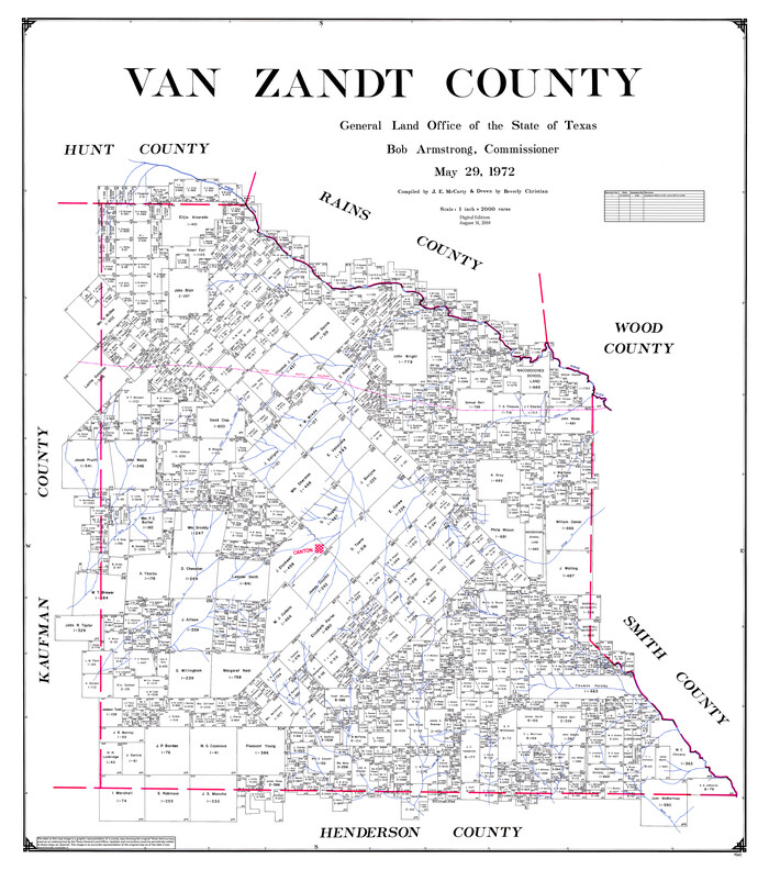
Van Zandt County
1972
-
Size
47.6 x 42.0 inches
-
Map/Doc
95662
-
Creation Date
1972

Van Zandt County Working Sketch Graphic Index
1972
-
Size
46.2 x 40.7 inches
-
Map/Doc
76727
-
Creation Date
1972

Van Zandt County Rolled Sketch 9
1963
-
Size
23.4 x 18.7 inches
-
Map/Doc
8149
-
Creation Date
1963

General Highway Map, Van Zandt County, Texas
1961
-
Size
18.2 x 24.8 inches
-
Map/Doc
79696
-
Creation Date
1961

Hunt County Working Sketch 9
1959
-
Size
33.8 x 30.6 inches
-
Map/Doc
66356
-
Creation Date
1959

Hunt County Rolled Sketch 3A
1959
-
Size
23.9 x 52.8 inches
-
Map/Doc
9241
-
Creation Date
1959

Rains County Working Sketch 6
1958
-
Size
26.4 x 42.3 inches
-
Map/Doc
71832
-
Creation Date
1958

Henderson County Working Sketch 25
1954
-
Size
42.0 x 31.2 inches
-
Map/Doc
66158
-
Creation Date
1954

Van Zandt County Working Sketch 7
1953
-
Size
17.7 x 18.1 inches
-
Map/Doc
72257
-
Creation Date
1953

Rains County Working Sketch 5
1950
-
Size
35.2 x 42.0 inches
-
Map/Doc
71831
-
Creation Date
1950

Van Zandt County Rolled Sketch 8
1948
-
Size
38.4 x 23.9 inches
-
Map/Doc
8148
-
Creation Date
1948

Henderson County Working Sketch 20
1947
-
Size
31.6 x 18.9 inches
-
Map/Doc
66153
-
Creation Date
1947

Henderson County Working Sketch 19
1947
-
Size
18.6 x 20.3 inches
-
Map/Doc
66152
-
Creation Date
1947

Van Zandt County Rolled Sketch 7
1946
-
Size
27.0 x 20.4 inches
-
Map/Doc
8147
-
Creation Date
1946