
Webb County Rolled Sketch 79
2020
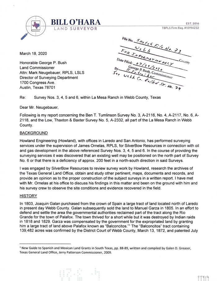
Webb County Sketch File 73
2020

Dimmit County Rolled Sketch 22
2012

Dimmit County Rolled Sketch 22A
2012

Dimmit County Sketch File 62
2012
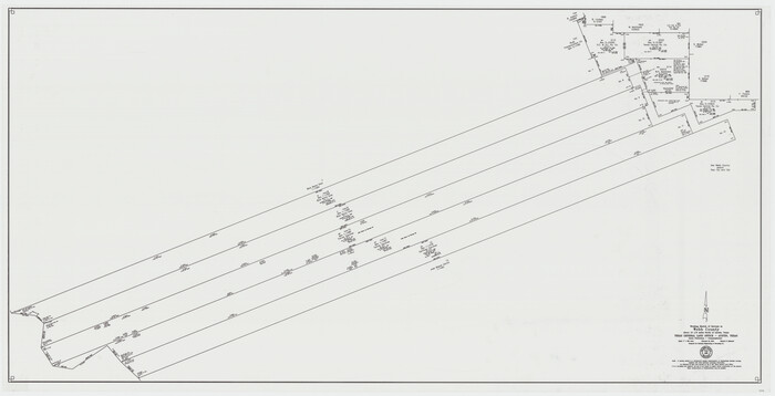
Webb County Working Sketch 98
2012

Webb County Rolled Sketch 78
2011

Webb County Sketch File 72
2011

Land grants from the state of Tamaulipas in the trans-Nueces
2009

Webb County Working Sketch 97
1994
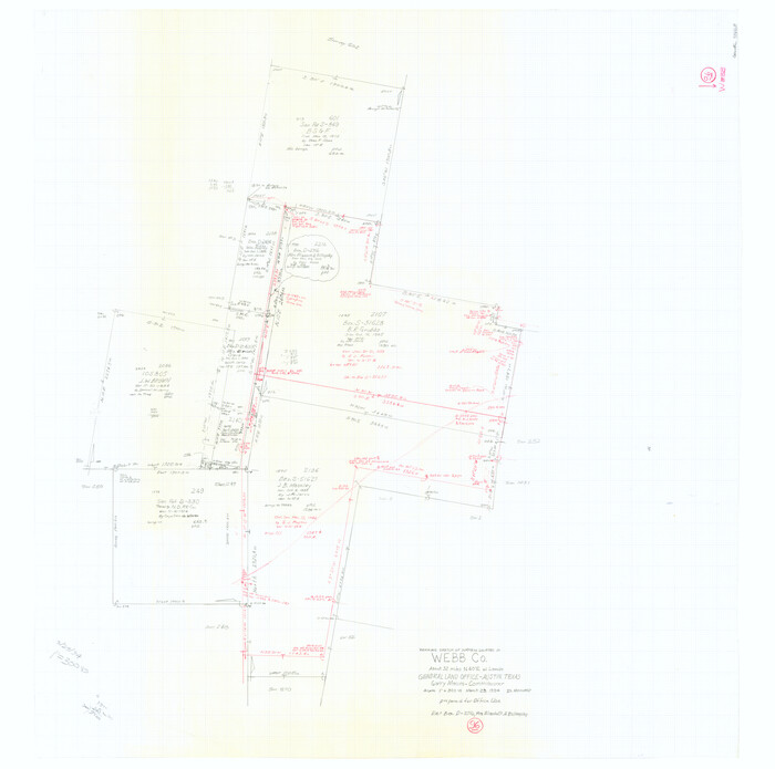
Webb County Working Sketch 96
1994

Zapata County Working Sketch 24
1992
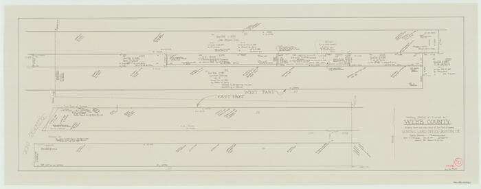
Webb County Working Sketch 95
1991

Webb County Working Sketch 94
1989
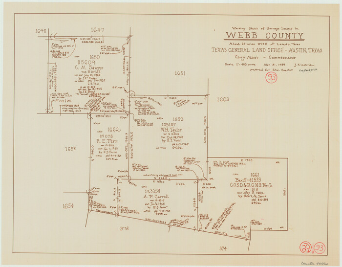
Webb County Working Sketch 93
1989
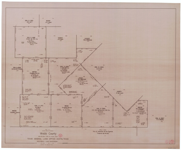
Webb County Working Sketch 92
1988

Northeast Part of Webb County
1986

Webb County Working Sketch Graphic Index - northeast part
1986

Northeast Part of Webb County
1986

Northeast Part of Webb County
1986
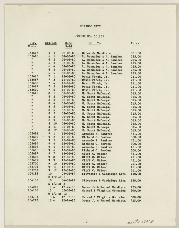
Webb County Sketch File 70
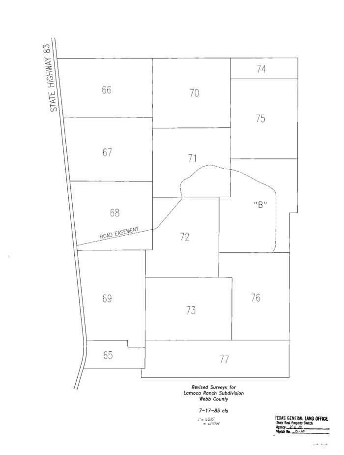
Webb County State Real Property Sketch 1
1985

Northwest Part of Webb County
1984
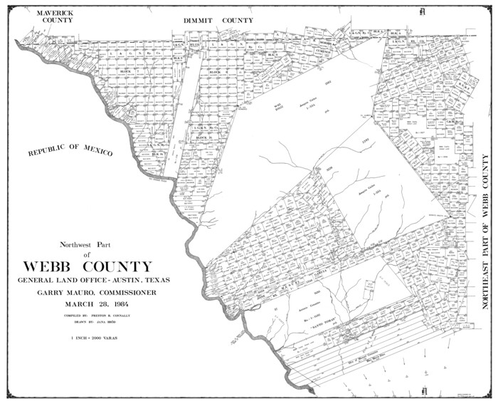
Northwest Part of Webb County
1984

Northwest Part of Webb County
1984

South Part of Webb County
1984

South Part of Webb County
1984

South Part of Webb County
1984

Duval County Working Sketch 50
1984

Webb County Working Sketch Graphic Index - northwest part
1984

Webb County Rolled Sketch 79
2020
-
Size
35.7 x 24.9 inches
-
Map/Doc
95916
-
Creation Date
2020

Webb County Sketch File 73
2020
-
Size
11.0 x 8.5 inches
-
Map/Doc
95917
-
Creation Date
2020

Dimmit County Rolled Sketch 22
2012
-
Size
31.5 x 24.0 inches
-
Map/Doc
93629
-
Creation Date
2012

Dimmit County Rolled Sketch 22A
2012
-
Size
23.2 x 34.0 inches
-
Map/Doc
93630
-
Creation Date
2012

Dimmit County Sketch File 62
2012
-
Size
11.0 x 8.5 inches
-
Map/Doc
93631
-
Creation Date
2012

Webb County Working Sketch 98
2012
-
Size
36.9 x 72.0 inches
-
Map/Doc
93276
-
Creation Date
2012

Webb County Rolled Sketch 78
2011
-
Size
33.1 x 24.6 inches
-
Map/Doc
90052
-
Creation Date
2011

Webb County Sketch File 72
2011
-
Size
11.0 x 8.5 inches
-
Map/Doc
90054
-
Creation Date
2011

Land grants from the state of Tamaulipas in the trans-Nueces
2009
-
Size
11.0 x 8.5 inches
-
Map/Doc
94040
-
Creation Date
2009

Webb County Working Sketch 97
1994
-
Size
27.1 x 30.6 inches
-
Map/Doc
72464
-
Creation Date
1994

Webb County Working Sketch 96
1994
-
Size
36.1 x 36.3 inches
-
Map/Doc
72463
-
Creation Date
1994

Zapata County Working Sketch 24
1992
-
Size
28.2 x 23.9 inches
-
Map/Doc
62075
-
Creation Date
1992

Webb County Working Sketch 95
1991
-
Size
16.6 x 42.2 inches
-
Map/Doc
72462
-
Creation Date
1991

Webb County Working Sketch 94
1989
-
Size
23.1 x 25.6 inches
-
Map/Doc
72461
-
Creation Date
1989

Webb County Working Sketch 93
1989
-
Size
15.7 x 20.1 inches
-
Map/Doc
72460
-
Creation Date
1989

Webb County Working Sketch 92
1988
-
Size
30.6 x 37.0 inches
-
Map/Doc
72459
-
Creation Date
1988

Northeast Part of Webb County
1986
-
Size
38.0 x 49.2 inches
-
Map/Doc
73318
-
Creation Date
1986

Webb County Working Sketch Graphic Index - northeast part
1986
-
Size
35.7 x 47.1 inches
-
Map/Doc
76734
-
Creation Date
1986

Northeast Part of Webb County
1986
-
Size
34.6 x 45.7 inches
-
Map/Doc
77452
-
Creation Date
1986

Northeast Part of Webb County
1986
-
Size
37.7 x 50.0 inches
-
Map/Doc
95668
-
Creation Date
1986

Webb County Sketch File 70
-
Size
11.4 x 8.9 inches
-
Map/Doc
39875

Webb County State Real Property Sketch 1
1985
-
Size
23.4 x 17.7 inches
-
Map/Doc
61664
-
Creation Date
1985

Northwest Part of Webb County
1984
-
Size
42.6 x 52.2 inches
-
Map/Doc
73319
-
Creation Date
1984

Northwest Part of Webb County
1984
-
Size
42.0 x 50.2 inches
-
Map/Doc
77454
-
Creation Date
1984

Northwest Part of Webb County
1984
-
Size
43.2 x 52.9 inches
-
Map/Doc
95669
-
Creation Date
1984

South Part of Webb County
1984
-
Size
43.5 x 63.9 inches
-
Map/Doc
73320
-
Creation Date
1984

South Part of Webb County
1984
-
Size
41.2 x 61.5 inches
-
Map/Doc
77453
-
Creation Date
1984

South Part of Webb County
1984
-
Size
44.1 x 64.9 inches
-
Map/Doc
95670
-
Creation Date
1984

Duval County Working Sketch 50
1984
-
Size
38.0 x 32.0 inches
-
Map/Doc
68774
-
Creation Date
1984

Webb County Working Sketch Graphic Index - northwest part
1984
-
Size
42.1 x 51.6 inches
-
Map/Doc
76736
-
Creation Date
1984