256 results

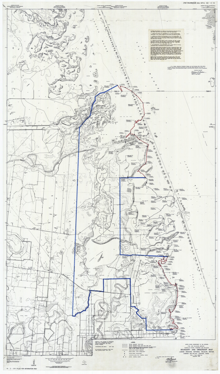
Boundary and Ownership map, Laguna Atascosa National Wildlife Refuge, Cameron and Willacy Counties, Texas
60394.tif
Print $40.00 - Digital $50.00

Boundary and Ownership map, Laguna Atascosa National Wildlife Refuge, Cameron and Willacy Counties, Texas

1968
Size: 73.1 x 43.0 inches
60394
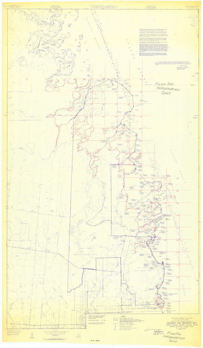
Boundary and Ownership map, Laguna Atascosa National Wildlife Refuge, Cameron and Willacy Counties, Texas
60395.tif
Print $40.00 - Digital $50.00

Boundary and Ownership map, Laguna Atascosa National Wildlife Refuge, Cameron and Willacy Counties, Texas

1968
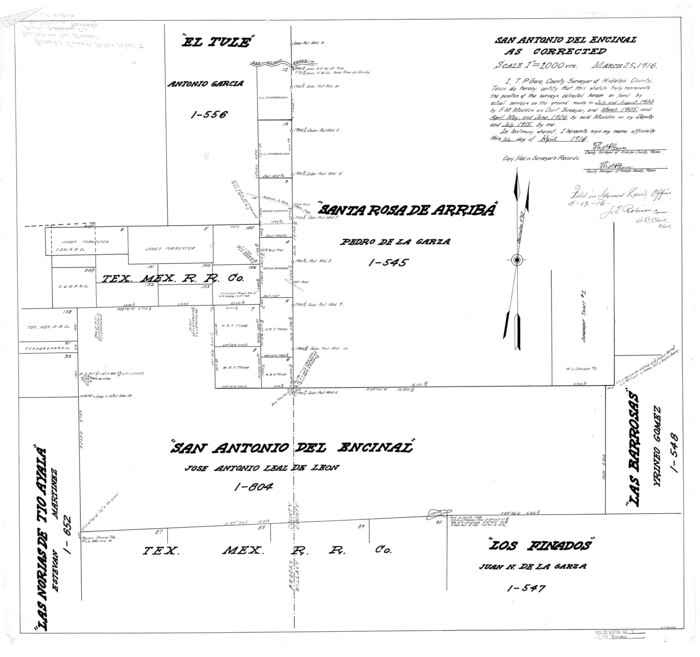
Size: 73.9 x 43.2 inches
60395
Brooks County Rolled Sketch 7
5336.tif
Print $20.00 - Digital $50.00

Brooks County Rolled Sketch 7

1916

Size: 28.5 x 30.4 inches
5336
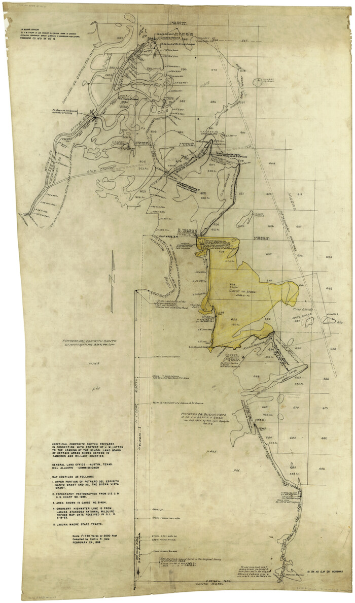
Cameron County Rolled Sketch 15
8568.tif
Print $40.00 - Digital $50.00

Cameron County Rolled Sketch 15

1958

Size: 53.0 x 32.0 inches
8568
Cameron County Sketch File 7a
17115, Cameron County Sketch File 7a, General Map Collection
Print $32.00 - Digital $50.00

Cameron County Sketch File 7a

1982

Size: 11.2 x 8.4 inches
17115
Coast Chart No. 211 - Padre I. and Laguna Madre, Lat. 27° 12' to Lat. 26° 33', Texas
73500.tif
Print $20.00 - Digital $50.00

Coast Chart No. 211 - Padre I. and Laguna Madre, Lat. 27° 12' to Lat. 26° 33', Texas

1890

Size: 40.1 x 33.7 inches
73500
Coast Chart No. 211 - Padre I. and Laguna Madre, Lat. 27° 12' to Lat. 26° 33', Texas
73501.tif
Print $20.00 - Digital $50.00

Coast Chart No. 211 - Padre I. and Laguna Madre, Lat. 27° 12' to Lat. 26° 33', Texas

1890

Size: 41.0 x 33.4 inches
73501
Coast Chart No. 211 - Padre I. and Laguna Madre, Lat. 27° 12' to Lat. 26° 33', Texas
73502.tif
Print $20.00 - Digital $50.00

Coast Chart No. 211 - Padre I. and Laguna Madre, Lat. 27° 12' to Lat. 26° 33', Texas

1890

Size: 30.5 x 24.1 inches
73502
Coast Chart No. 212 - From Latitude 26° 33' to the Rio Grande, Texas
73503.tif
Print $20.00 - Digital $50.00

Coast Chart No. 212 - From Latitude 26° 33' to the Rio Grande, Texas

1886

Size: 37.8 x 34.1 inches
73503
Coast Chart No. 212 - From Latitude 26° 33' to the Rio Grande, Texas
73504.tif
Print $20.00 - Digital $50.00

Coast Chart No. 212 - From Latitude 26° 33' to the Rio Grande, Texas

1886

Size: 30.5 x 24.1 inches
73504
Coast Chart No. 212 - From Latitude 26° 33' to the Rio Grande, Texas
73505.tif
Print $20.00 - Digital $50.00

Coast Chart No. 212 - From Latitude 26° 33' to the Rio Grande, Texas

1886
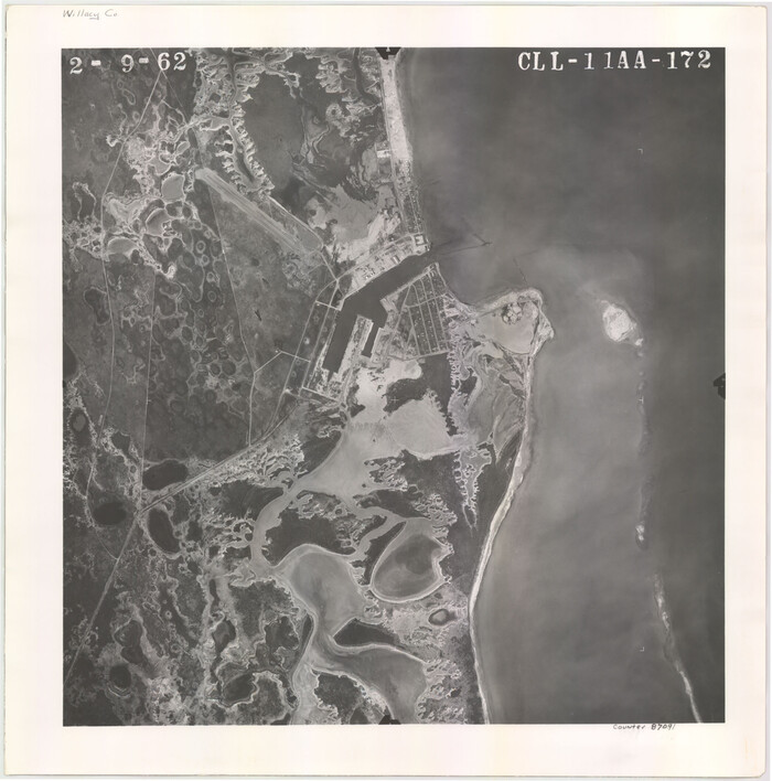
Size: 21.9 x 17.5 inches
73505
Flight Mission No. CLL-11AA, Frame 172, Willacy County
87091, Flight Mission No. CLL-11AA, Frame 172, Willacy County, General Map Collection
Print $20.00 - Digital $50.00

Flight Mission No. CLL-11AA, Frame 172, Willacy County

1962
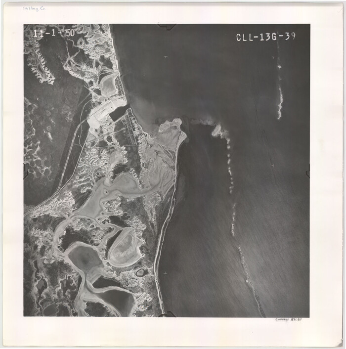
Size: 18.4 x 18.2 inches
87091
Flight Mission No. CLL-13G, Frame 39, Willacy County
87089, Flight Mission No. CLL-13G, Frame 39, Willacy County, General Map Collection
Print $20.00 - Digital $50.00

Flight Mission No. CLL-13G, Frame 39, Willacy County

1950
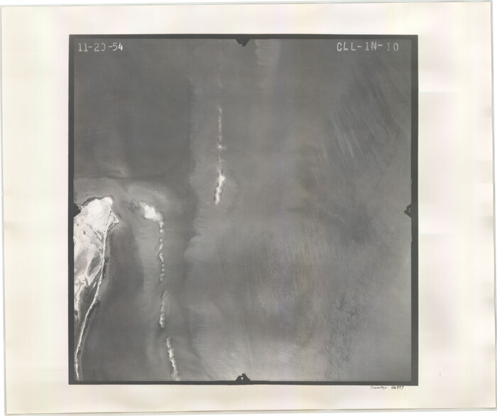
Size: 18.4 x 18.2 inches
87089
Flight Mission No. CLL-1N, Frame 10, Willacy County
86997, Flight Mission No. CLL-1N, Frame 10, Willacy County, General Map Collection
Print $20.00 - Digital $50.00

Flight Mission No. CLL-1N, Frame 10, Willacy County

1954
Size: 18.5 x 22.1 inches
86997
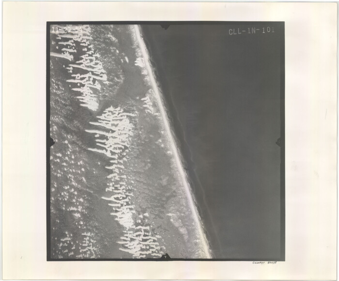
Flight Mission No. CLL-1N, Frame 101, Willacy County
87035, Flight Mission No. CLL-1N, Frame 101, Willacy County, General Map Collection
Print $20.00 - Digital $50.00

Flight Mission No. CLL-1N, Frame 101, Willacy County

1954

Size: 18.3 x 22.1 inches
87035
Flight Mission No. CLL-1N, Frame 102, Willacy County
87036, Flight Mission No. CLL-1N, Frame 102, Willacy County, General Map Collection
Print $20.00 - Digital $50.00

Flight Mission No. CLL-1N, Frame 102, Willacy County

1954

Size: 18.3 x 22.0 inches
87036
Flight Mission No. CLL-1N, Frame 103, Willacy County
87037, Flight Mission No. CLL-1N, Frame 103, Willacy County, General Map Collection
Print $20.00 - Digital $50.00

Flight Mission No. CLL-1N, Frame 103, Willacy County

1954
Size: 18.4 x 22.1 inches
87037
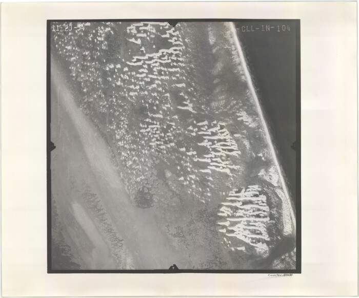
Flight Mission No. CLL-1N, Frame 104, Willacy County
87038, Flight Mission No. CLL-1N, Frame 104, Willacy County, General Map Collection
Print $20.00 - Digital $50.00

Flight Mission No. CLL-1N, Frame 104, Willacy County

1954
Size: 18.3 x 22.0 inches
87038
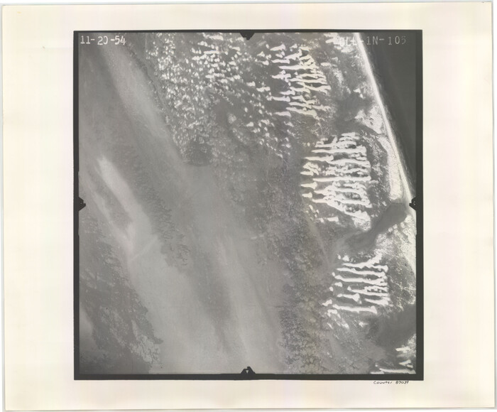
Flight Mission No. CLL-1N, Frame 105, Willacy County
87039, Flight Mission No. CLL-1N, Frame 105, Willacy County, General Map Collection
Print $20.00 - Digital $50.00

Flight Mission No. CLL-1N, Frame 105, Willacy County

1954
Size: 18.4 x 22.1 inches
87039
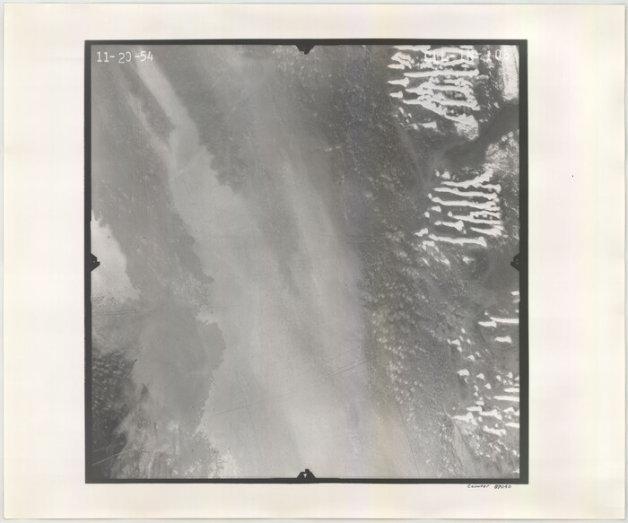
Flight Mission No. CLL-1N, Frame 106, Willacy County
87040, Flight Mission No. CLL-1N, Frame 106, Willacy County, General Map Collection
Print $20.00 - Digital $50.00

Flight Mission No. CLL-1N, Frame 106, Willacy County

1954
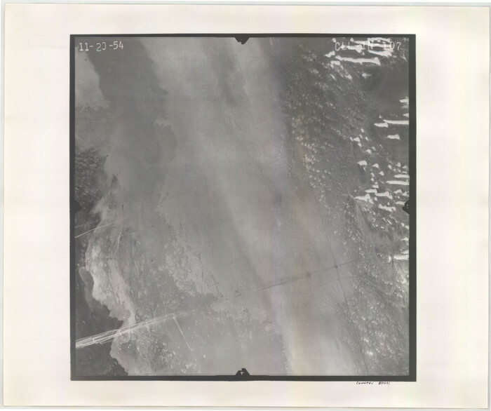
Size: 18.4 x 22.0 inches
87040
Flight Mission No. CLL-1N, Frame 107, Willacy County
87041, Flight Mission No. CLL-1N, Frame 107, Willacy County, General Map Collection
Print $20.00 - Digital $50.00

Flight Mission No. CLL-1N, Frame 107, Willacy County

1954
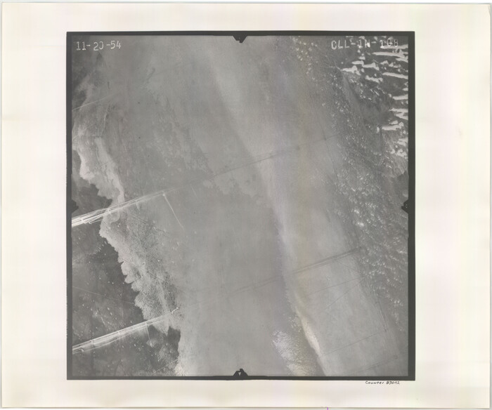
Size: 18.5 x 22.1 inches
87041
Flight Mission No. CLL-1N, Frame 108, Willacy County
87042, Flight Mission No. CLL-1N, Frame 108, Willacy County, General Map Collection
Print $20.00 - Digital $50.00

Flight Mission No. CLL-1N, Frame 108, Willacy County

1954
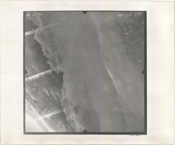
Size: 18.3 x 22.0 inches
87042
Flight Mission No. CLL-1N, Frame 109, Willacy County
87043, Flight Mission No. CLL-1N, Frame 109, Willacy County, General Map Collection
Print $20.00 - Digital $50.00

Flight Mission No. CLL-1N, Frame 109, Willacy County

1954
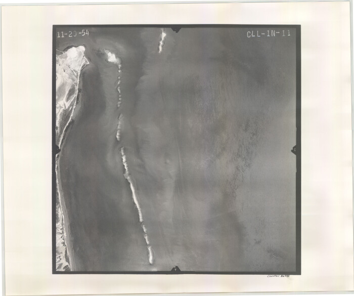
Size: 18.3 x 22.1 inches
87043
Flight Mission No. CLL-1N, Frame 11, Willacy County
86998, Flight Mission No. CLL-1N, Frame 11, Willacy County, General Map Collection
Print $20.00 - Digital $50.00

Flight Mission No. CLL-1N, Frame 11, Willacy County

1954
Size: 18.5 x 22.2 inches
86998
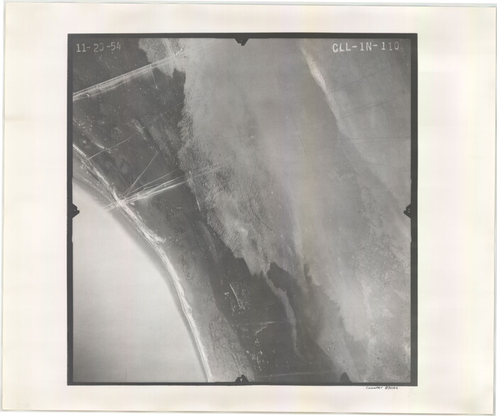
Flight Mission No. CLL-1N, Frame 110, Willacy County
87044, Flight Mission No. CLL-1N, Frame 110, Willacy County, General Map Collection
Print $20.00 - Digital $50.00

Flight Mission No. CLL-1N, Frame 110, Willacy County

1954

Size: 18.5 x 22.1 inches
87044
Flight Mission No. CLL-1N, Frame 111, Willacy County
87045, Flight Mission No. CLL-1N, Frame 111, Willacy County, General Map Collection
Print $20.00 - Digital $50.00

Flight Mission No. CLL-1N, Frame 111, Willacy County

1954

Size: 18.4 x 22.2 inches
87045
Flight Mission No. CLL-1N, Frame 112, Willacy County
87046, Flight Mission No. CLL-1N, Frame 112, Willacy County, General Map Collection
Print $20.00 - Digital $50.00

Flight Mission No. CLL-1N, Frame 112, Willacy County

1954

Size: 18.4 x 20.1 inches
87046
Flight Mission No. CLL-1N, Frame 113, Willacy County
87047, Flight Mission No. CLL-1N, Frame 113, Willacy County, General Map Collection
Print $20.00 - Digital $50.00

Flight Mission No. CLL-1N, Frame 113, Willacy County

1954
Size: 18.3 x 22.0 inches
87047
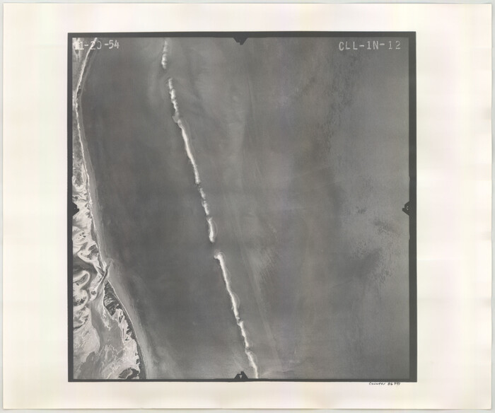
Flight Mission No. CLL-1N, Frame 12, Willacy County
86999, Flight Mission No. CLL-1N, Frame 12, Willacy County, General Map Collection
Print $20.00 - Digital $50.00

Flight Mission No. CLL-1N, Frame 12, Willacy County

1954

Size: 18.4 x 22.1 inches
86999
Flight Mission No. CLL-1N, Frame 13, Willacy County
87000, Flight Mission No. CLL-1N, Frame 13, Willacy County, General Map Collection
Print $20.00 - Digital $50.00

Flight Mission No. CLL-1N, Frame 13, Willacy County

1954

Size: 18.3 x 22.0 inches
87000
Boundary and Ownership map, Laguna Atascosa National Wildlife Refuge, Cameron and Willacy Counties, Texas
60394, Boundary and Ownership map, Laguna Atascosa National Wildlife Refuge, Cameron and Willacy Counties, Texas, General Map Collection
Print $40.00 - Digital $50.00

Boundary and Ownership map, Laguna Atascosa National Wildlife Refuge, Cameron and Willacy Counties, Texas

1968

  • Size

    73.1 x 43.0 inches

  • Map/Doc

    60394

  • Creation Date

    1968

Boundary and Ownership map, Laguna Atascosa National Wildlife Refuge, Cameron and Willacy Counties, Texas
60395, Boundary and Ownership map, Laguna Atascosa National Wildlife Refuge, Cameron and Willacy Counties, Texas, General Map Collection
Print $40.00 - Digital $50.00

Boundary and Ownership map, Laguna Atascosa National Wildlife Refuge, Cameron and Willacy Counties, Texas

1968

  • Size

    73.9 x 43.2 inches

  • Map/Doc

    60395

  • Creation Date

    1968

Brooks County Rolled Sketch 7
5336, Brooks County Rolled Sketch 7, General Map Collection
Print $20.00 - Digital $50.00

Brooks County Rolled Sketch 7

1916

  • Size

    28.5 x 30.4 inches

  • Map/Doc

    5336

  • Creation Date

    1916

Cameron County Rolled Sketch 15
8568, Cameron County Rolled Sketch 15, General Map Collection
Print $40.00 - Digital $50.00

Cameron County Rolled Sketch 15

1958

  • Size

    53.0 x 32.0 inches

  • Map/Doc

    8568

  • Creation Date

    1958

Cameron County Sketch File 7a
17115, Cameron County Sketch File 7a, General Map Collection
Print $32.00 - Digital $50.00

Cameron County Sketch File 7a

1982

  • Size

    11.2 x 8.4 inches

  • Map/Doc

    17115

  • Creation Date

    1982

Coast Chart No. 211 - Padre I. and Laguna Madre, Lat. 27° 12' to Lat. 26° 33', Texas
73500, Coast Chart No. 211 - Padre I. and Laguna Madre, Lat. 27° 12' to Lat. 26° 33', Texas, General Map Collection
Print $20.00 - Digital $50.00

Coast Chart No. 211 - Padre I. and Laguna Madre, Lat. 27° 12' to Lat. 26° 33', Texas

1890

  • Size

    40.1 x 33.7 inches

  • Map/Doc

    73500

  • Creation Date

    1890

Coast Chart No. 211 - Padre I. and Laguna Madre, Lat. 27° 12' to Lat. 26° 33', Texas
73501, Coast Chart No. 211 - Padre I. and Laguna Madre, Lat. 27° 12' to Lat. 26° 33', Texas, General Map Collection
Print $20.00 - Digital $50.00

Coast Chart No. 211 - Padre I. and Laguna Madre, Lat. 27° 12' to Lat. 26° 33', Texas

1890

  • Size

    41.0 x 33.4 inches

  • Map/Doc

    73501

  • Creation Date

    1890

Coast Chart No. 211 - Padre I. and Laguna Madre, Lat. 27° 12' to Lat. 26° 33', Texas
73502, Coast Chart No. 211 - Padre I. and Laguna Madre, Lat. 27° 12' to Lat. 26° 33', Texas, General Map Collection
Print $20.00 - Digital $50.00

Coast Chart No. 211 - Padre I. and Laguna Madre, Lat. 27° 12' to Lat. 26° 33', Texas

1890

  • Size

    30.5 x 24.1 inches

  • Map/Doc

    73502

  • Creation Date

    1890

Coast Chart No. 212 - From Latitude 26° 33' to the Rio Grande, Texas
73503, Coast Chart No. 212 - From Latitude 26° 33' to the Rio Grande, Texas, General Map Collection
Print $20.00 - Digital $50.00

Coast Chart No. 212 - From Latitude 26° 33' to the Rio Grande, Texas

1886

  • Size

    37.8 x 34.1 inches

  • Map/Doc

    73503

  • Creation Date

    1886

Coast Chart No. 212 - From Latitude 26° 33' to the Rio Grande, Texas
73504, Coast Chart No. 212 - From Latitude 26° 33' to the Rio Grande, Texas, General Map Collection
Print $20.00 - Digital $50.00

Coast Chart No. 212 - From Latitude 26° 33' to the Rio Grande, Texas

1886

  • Size

    30.5 x 24.1 inches

  • Map/Doc

    73504

  • Creation Date

    1886

Coast Chart No. 212 - From Latitude 26° 33' to the Rio Grande, Texas
73505, Coast Chart No. 212 - From Latitude 26° 33' to the Rio Grande, Texas, General Map Collection
Print $20.00 - Digital $50.00

Coast Chart No. 212 - From Latitude 26° 33' to the Rio Grande, Texas

1886

  • Size

    21.9 x 17.5 inches

  • Map/Doc

    73505

  • Creation Date

    1886

Flight Mission No. CLL-11AA, Frame 172, Willacy County
87091, Flight Mission No. CLL-11AA, Frame 172, Willacy County, General Map Collection
Print $20.00 - Digital $50.00

Flight Mission No. CLL-11AA, Frame 172, Willacy County

1962

  • Size

    18.4 x 18.2 inches

  • Map/Doc

    87091

  • Creation Date

    1962

Flight Mission No. CLL-13G, Frame 39, Willacy County
87089, Flight Mission No. CLL-13G, Frame 39, Willacy County, General Map Collection
Print $20.00 - Digital $50.00

Flight Mission No. CLL-13G, Frame 39, Willacy County

1950

  • Size

    18.4 x 18.2 inches

  • Map/Doc

    87089

  • Creation Date

    1950

Flight Mission No. CLL-1N, Frame 10, Willacy County
86997, Flight Mission No. CLL-1N, Frame 10, Willacy County, General Map Collection
Print $20.00 - Digital $50.00

Flight Mission No. CLL-1N, Frame 10, Willacy County

1954

  • Size

    18.5 x 22.1 inches

  • Map/Doc

    86997

  • Creation Date

    1954

Flight Mission No. CLL-1N, Frame 101, Willacy County
87035, Flight Mission No. CLL-1N, Frame 101, Willacy County, General Map Collection
Print $20.00 - Digital $50.00

Flight Mission No. CLL-1N, Frame 101, Willacy County

1954

  • Size

    18.3 x 22.1 inches

  • Map/Doc

    87035

  • Creation Date

    1954

Flight Mission No. CLL-1N, Frame 102, Willacy County
87036, Flight Mission No. CLL-1N, Frame 102, Willacy County, General Map Collection
Print $20.00 - Digital $50.00

Flight Mission No. CLL-1N, Frame 102, Willacy County

1954

  • Size

    18.3 x 22.0 inches

  • Map/Doc

    87036

  • Creation Date

    1954

Flight Mission No. CLL-1N, Frame 103, Willacy County
87037, Flight Mission No. CLL-1N, Frame 103, Willacy County, General Map Collection
Print $20.00 - Digital $50.00

Flight Mission No. CLL-1N, Frame 103, Willacy County

1954

  • Size

    18.4 x 22.1 inches

  • Map/Doc

    87037

  • Creation Date

    1954

Flight Mission No. CLL-1N, Frame 104, Willacy County
87038, Flight Mission No. CLL-1N, Frame 104, Willacy County, General Map Collection
Print $20.00 - Digital $50.00

Flight Mission No. CLL-1N, Frame 104, Willacy County

1954

  • Size

    18.3 x 22.0 inches

  • Map/Doc

    87038

  • Creation Date

    1954

Flight Mission No. CLL-1N, Frame 105, Willacy County
87039, Flight Mission No. CLL-1N, Frame 105, Willacy County, General Map Collection
Print $20.00 - Digital $50.00

Flight Mission No. CLL-1N, Frame 105, Willacy County

1954

  • Size

    18.4 x 22.1 inches

  • Map/Doc

    87039

  • Creation Date

    1954

Flight Mission No. CLL-1N, Frame 106, Willacy County
87040, Flight Mission No. CLL-1N, Frame 106, Willacy County, General Map Collection
Print $20.00 - Digital $50.00

Flight Mission No. CLL-1N, Frame 106, Willacy County

1954

  • Size

    18.4 x 22.0 inches

  • Map/Doc

    87040

  • Creation Date

    1954

Flight Mission No. CLL-1N, Frame 107, Willacy County
87041, Flight Mission No. CLL-1N, Frame 107, Willacy County, General Map Collection
Print $20.00 - Digital $50.00

Flight Mission No. CLL-1N, Frame 107, Willacy County

1954

  • Size

    18.5 x 22.1 inches

  • Map/Doc

    87041

  • Creation Date

    1954

Flight Mission No. CLL-1N, Frame 108, Willacy County
87042, Flight Mission No. CLL-1N, Frame 108, Willacy County, General Map Collection
Print $20.00 - Digital $50.00

Flight Mission No. CLL-1N, Frame 108, Willacy County

1954

  • Size

    18.3 x 22.0 inches

  • Map/Doc

    87042

  • Creation Date

    1954

Flight Mission No. CLL-1N, Frame 109, Willacy County
87043, Flight Mission No. CLL-1N, Frame 109, Willacy County, General Map Collection
Print $20.00 - Digital $50.00

Flight Mission No. CLL-1N, Frame 109, Willacy County

1954

  • Size

    18.3 x 22.1 inches

  • Map/Doc

    87043

  • Creation Date

    1954

Flight Mission No. CLL-1N, Frame 11, Willacy County
86998, Flight Mission No. CLL-1N, Frame 11, Willacy County, General Map Collection
Print $20.00 - Digital $50.00

Flight Mission No. CLL-1N, Frame 11, Willacy County

1954

  • Size

    18.5 x 22.2 inches

  • Map/Doc

    86998

  • Creation Date

    1954

Flight Mission No. CLL-1N, Frame 110, Willacy County
87044, Flight Mission No. CLL-1N, Frame 110, Willacy County, General Map Collection
Print $20.00 - Digital $50.00

Flight Mission No. CLL-1N, Frame 110, Willacy County

1954

  • Size

    18.5 x 22.1 inches

  • Map/Doc

    87044

  • Creation Date

    1954

Flight Mission No. CLL-1N, Frame 111, Willacy County
87045, Flight Mission No. CLL-1N, Frame 111, Willacy County, General Map Collection
Print $20.00 - Digital $50.00

Flight Mission No. CLL-1N, Frame 111, Willacy County

1954

  • Size

    18.4 x 22.2 inches

  • Map/Doc

    87045

  • Creation Date

    1954

Flight Mission No. CLL-1N, Frame 112, Willacy County
87046, Flight Mission No. CLL-1N, Frame 112, Willacy County, General Map Collection
Print $20.00 - Digital $50.00

Flight Mission No. CLL-1N, Frame 112, Willacy County

1954

  • Size

    18.4 x 20.1 inches

  • Map/Doc

    87046

  • Creation Date

    1954

Flight Mission No. CLL-1N, Frame 113, Willacy County
87047, Flight Mission No. CLL-1N, Frame 113, Willacy County, General Map Collection
Print $20.00 - Digital $50.00

Flight Mission No. CLL-1N, Frame 113, Willacy County

1954

  • Size

    18.3 x 22.0 inches

  • Map/Doc

    87047

  • Creation Date

    1954

Flight Mission No. CLL-1N, Frame 12, Willacy County
86999, Flight Mission No. CLL-1N, Frame 12, Willacy County, General Map Collection
Print $20.00 - Digital $50.00

Flight Mission No. CLL-1N, Frame 12, Willacy County

1954

  • Size

    18.4 x 22.1 inches

  • Map/Doc

    86999

  • Creation Date

    1954

Flight Mission No. CLL-1N, Frame 13, Willacy County
87000, Flight Mission No. CLL-1N, Frame 13, Willacy County, General Map Collection
Print $20.00 - Digital $50.00

Flight Mission No. CLL-1N, Frame 13, Willacy County

1954

  • Size

    18.3 x 22.0 inches

  • Map/Doc

    87000

  • Creation Date

    1954