
Gonzales County Rolled Sketch 2
2021
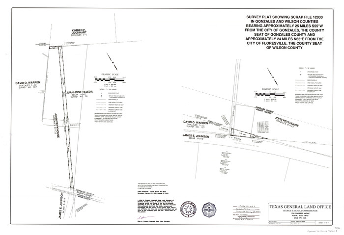
Gonzales County Rolled Sketch 3
2021
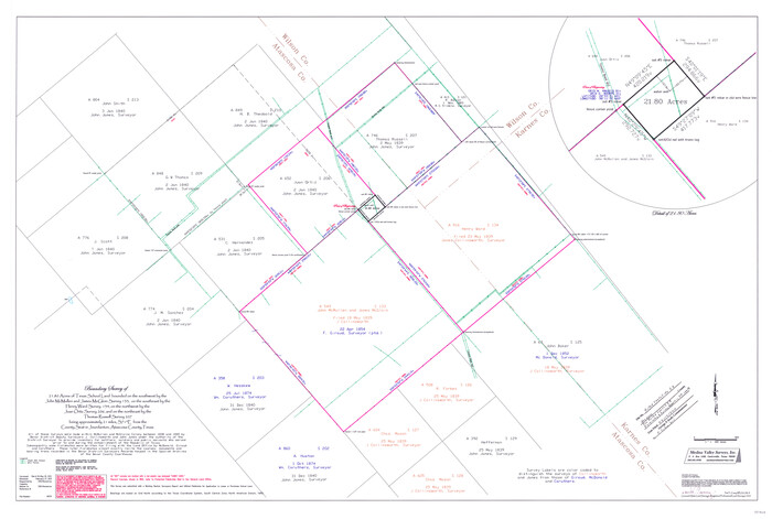
Atascosa County Rolled Sketch 26
2013

Atascosa County Rolled Sketch 27
2012

Bexar County Sketch File 60
2009

Wilson County Working Sketch 14
1987
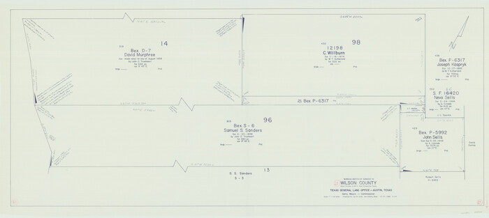
Wilson County Working Sketch 13
1985
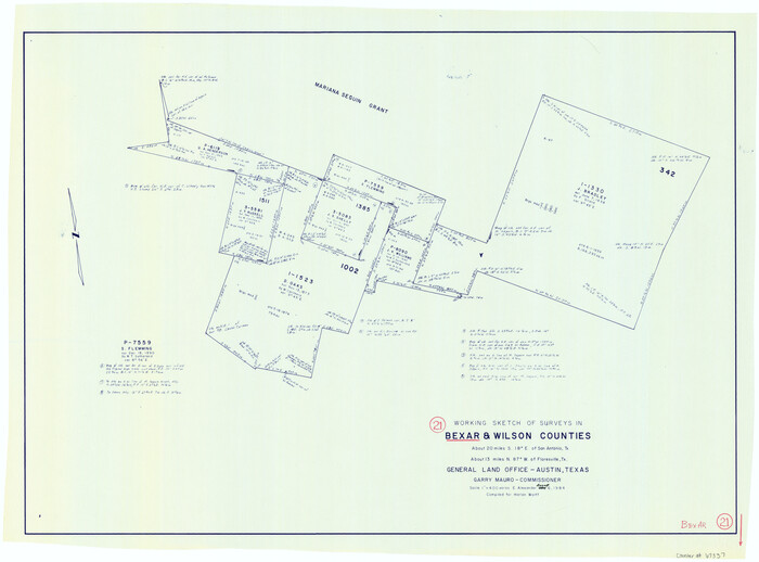
Bexar County Working Sketch 21
1984

Wilson County Working Sketch 12
1981

Wilson County Working Sketch 11
1980
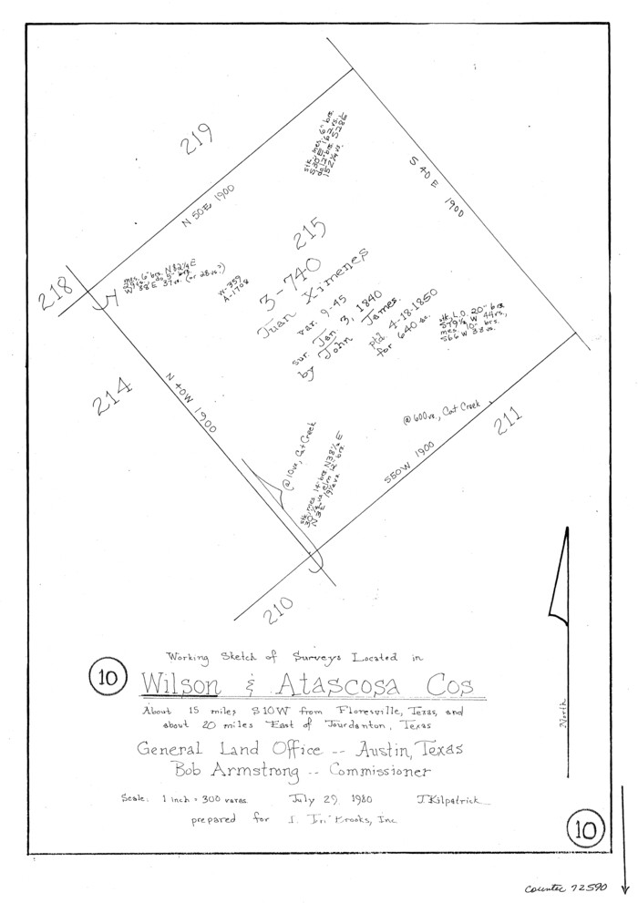
Wilson County Working Sketch 10
1980

Gonzales County Working Sketch 4a
1979
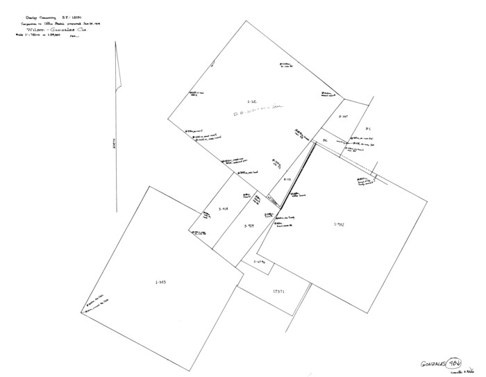
Gonzales County Working Sketch 4b
1979

Wilson County Working Sketch 9
1979
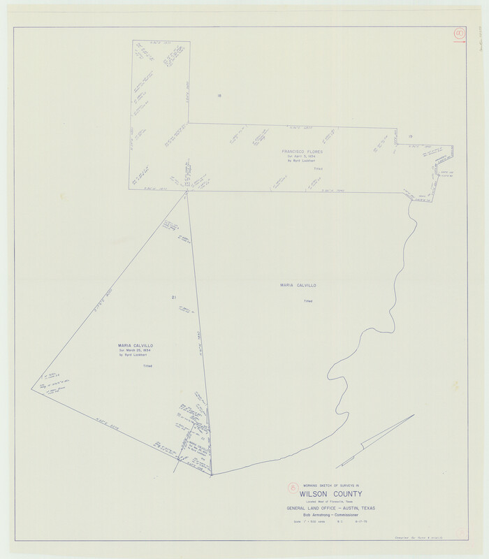
Wilson County Working Sketch 8
1975
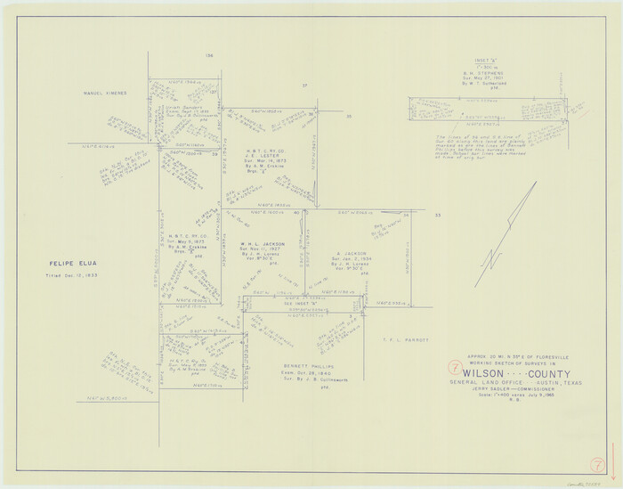
Wilson County Working Sketch 7
1965
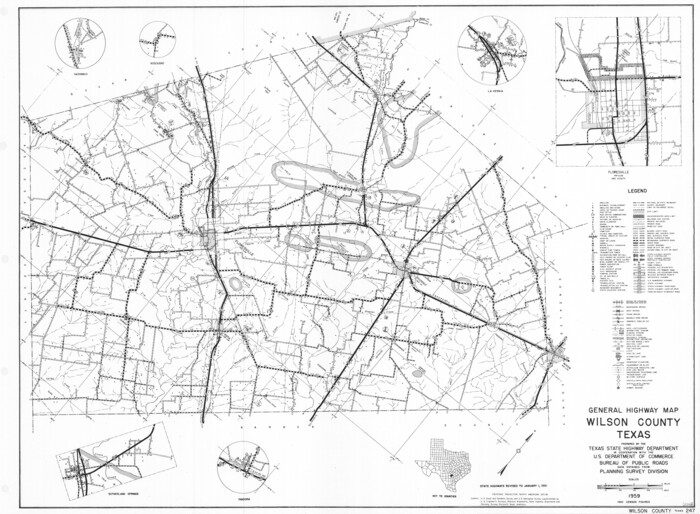
General Highway Map, Wilson County, Texas
1961

Wilson County Rolled Sketch 3
1956
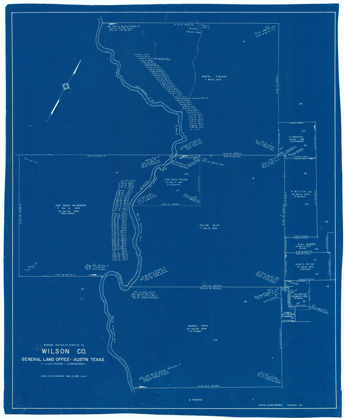
Wilson County Working Sketch 6
1955
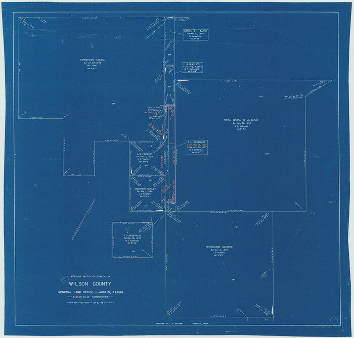
Wilson County Working Sketch 5
1954
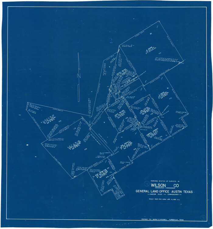
Wilson County Working Sketch 4
1953
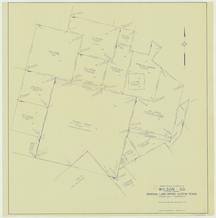
Wilson County Working Sketch 3
1952

Wilson County Working Sketch 2
1950
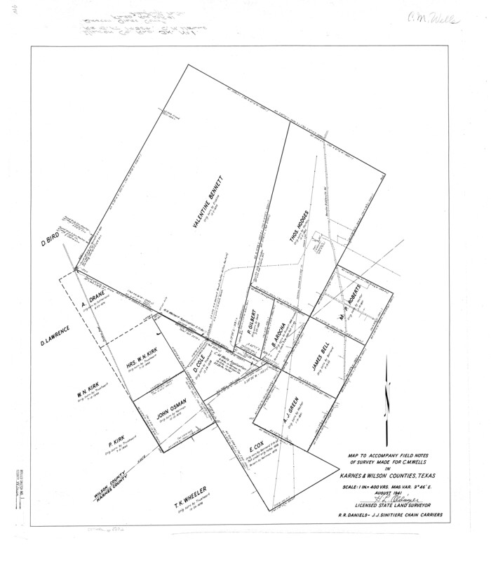
Wilson County Rolled Sketch 1
1941

Wilson County Rolled Sketch 2
1941

General Highway Map, Wilson County, Texas
1940
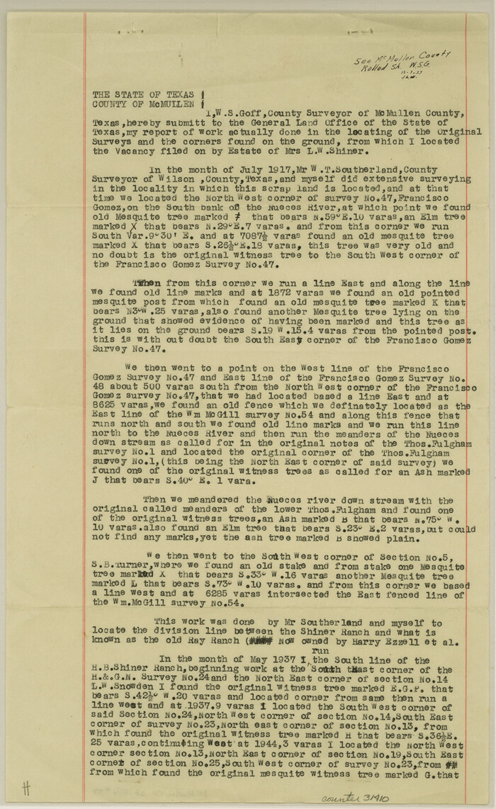
McMullen County Sketch File 37
1937

Gonzales County Rolled Sketch 2
2021
-
Size
24.0 x 35.9 inches
-
Map/Doc
96581
-
Creation Date
2021

Gonzales County Rolled Sketch 3
2021
-
Size
24.4 x 35.6 inches
-
Map/Doc
96582
-
Creation Date
2021

Atascosa County Rolled Sketch 26
2013
-
Size
24.6 x 36.6 inches
-
Map/Doc
95409
-
Creation Date
2013

Atascosa County Rolled Sketch 27
2012
-
Size
25.9 x 34.1 inches
-
Map/Doc
95410
-
Creation Date
2012

Bexar County Sketch File 60
2009
-
Size
11.0 x 8.5 inches
-
Map/Doc
93669
-
Creation Date
2009

Wilson County Working Sketch 14
1987
-
Size
31.9 x 36.2 inches
-
Map/Doc
72594
-
Creation Date
1987

Wilson County Working Sketch 13
1985
-
Size
23.9 x 53.5 inches
-
Map/Doc
72593
-
Creation Date
1985

Bexar County Working Sketch 21
1984
-
Size
21.3 x 28.8 inches
-
Map/Doc
67337
-
Creation Date
1984

Wilson County Working Sketch 12
1981
-
Size
19.5 x 12.9 inches
-
Map/Doc
72592
-
Creation Date
1981

Wilson County Working Sketch 11
1980
-
Size
14.4 x 13.1 inches
-
Map/Doc
72591
-
Creation Date
1980

Wilson County Working Sketch 10
1980
-
Size
16.6 x 11.7 inches
-
Map/Doc
72590
-
Creation Date
1980

Gonzales County Working Sketch 4a
1979
-
Size
30.9 x 32.2 inches
-
Map/Doc
63219
-
Creation Date
1979

Gonzales County Working Sketch 4b
1979
-
Size
21.2 x 27.3 inches
-
Map/Doc
63220
-
Creation Date
1979

Wilson County Working Sketch 9
1979
-
Size
31.6 x 33.0 inches
-
Map/Doc
72589
-
Creation Date
1979

Wilson County Working Sketch 8
1975
-
Size
36.5 x 31.9 inches
-
Map/Doc
72588
-
Creation Date
1975

Wilson County Working Sketch 7
1965
-
Size
23.7 x 30.2 inches
-
Map/Doc
72587
-
Creation Date
1965

General Highway Map, Wilson County, Texas
1961
-
Size
18.0 x 24.6 inches
-
Map/Doc
79715
-
Creation Date
1961

Wilson County Rolled Sketch 3
1956
-
Size
25.8 x 22.8 inches
-
Map/Doc
8369
-
Creation Date
1956

Wilson County Working Sketch 6
1955
-
Size
39.4 x 32.3 inches
-
Map/Doc
72586
-
Creation Date
1955

Wilson County Working Sketch 5
1954
-
Size
32.4 x 33.9 inches
-
Map/Doc
72585
-
Creation Date
1954

Wilson County Working Sketch 4
1953
-
Size
30.8 x 28.5 inches
-
Map/Doc
72584
-
Creation Date
1953

Wilson County Working Sketch 3
1952
-
Size
33.6 x 33.2 inches
-
Map/Doc
72583
-
Creation Date
1952

Wilson County Working Sketch 2
1950
-
Size
42.0 x 42.8 inches
-
Map/Doc
72582
-
Creation Date
1950

Wilson County Rolled Sketch 1
1941
-
Size
31.5 x 27.1 inches
-
Map/Doc
8367
-
Creation Date
1941

Wilson County Rolled Sketch 2
1941
-
Size
30.4 x 26.1 inches
-
Map/Doc
8368
-
Creation Date
1941

General Highway Map, Wilson County, Texas
1940
-
Size
18.2 x 24.8 inches
-
Map/Doc
79282
-
Creation Date
1940

McMullen County Sketch File 37
1937
-
Size
14.3 x 8.8 inches
-
Map/Doc
31410
-
Creation Date
1937
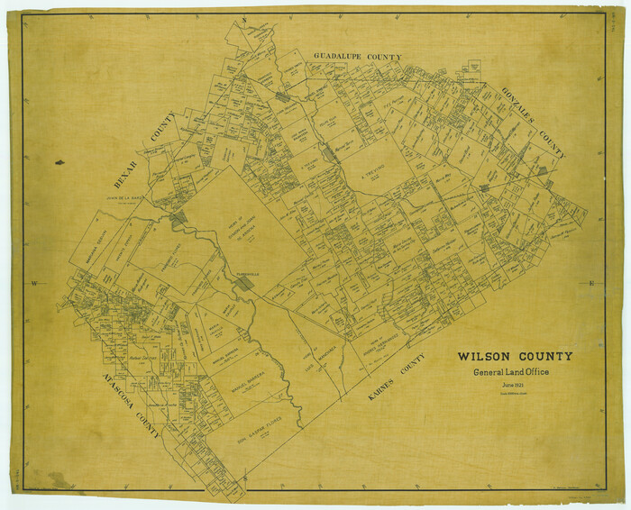
Wilson County
1921
-
Size
39.8 x 49.2 inches
-
Map/Doc
1902
-
Creation Date
1921

Wilson County
1921
-
Size
39.6 x 48.5 inches
-
Map/Doc
73327
-
Creation Date
1921
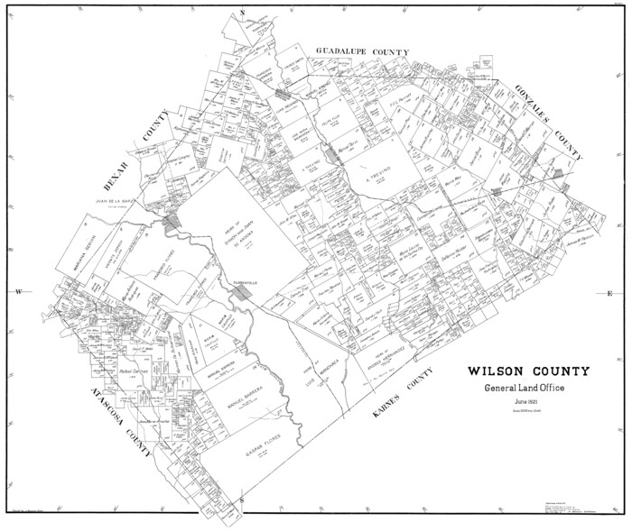
Wilson County
1921
-
Size
38.9 x 46.2 inches
-
Map/Doc
77461
-
Creation Date
1921