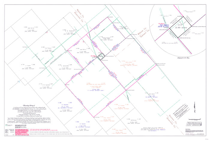
Atascosa County Rolled Sketch 26
2013

Atascosa County Rolled Sketch 27
2012
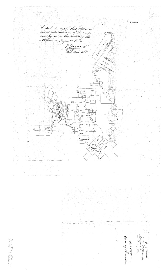
Atascosa County Sketch File 2a
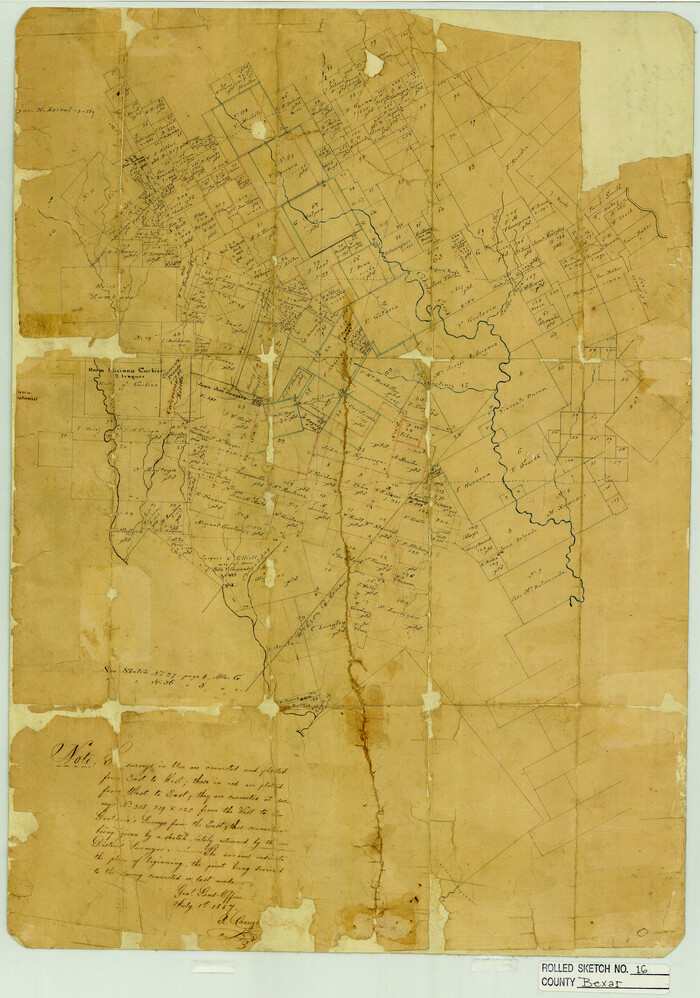
Bexar County Rolled Sketch 16
1847

Bexar County Sketch File 60
2009

Bexar County Sketch File X
1878
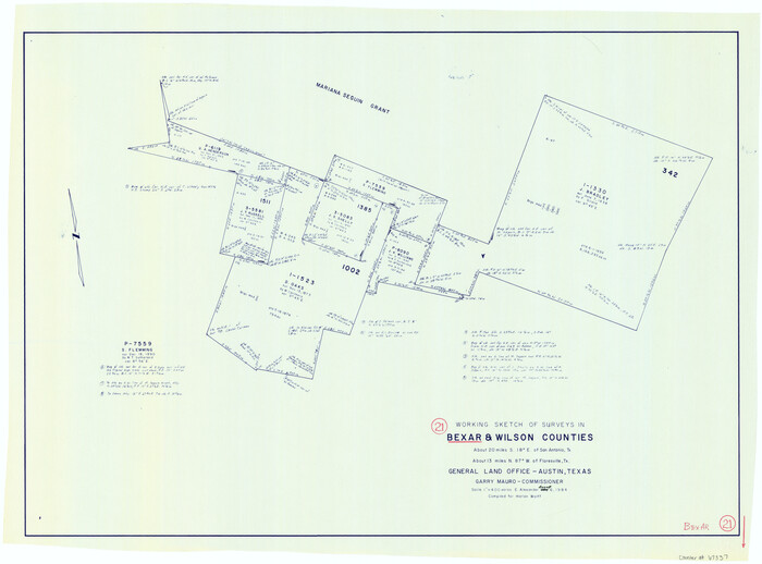
Bexar County Working Sketch 21
1984

General Highway Map, Wilson County, Texas
1940
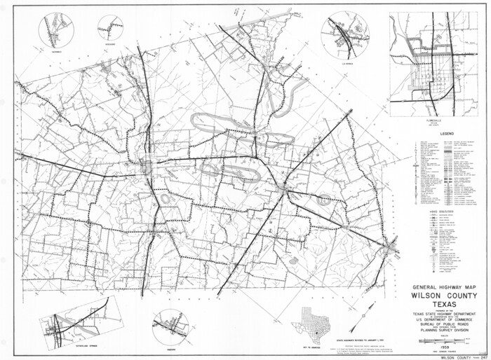
General Highway Map, Wilson County, Texas
1961

Gonzales County Rolled Sketch 1
1917
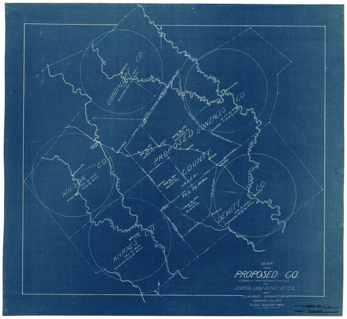
Gonzales County Rolled Sketch 1
1917

Gonzales County Rolled Sketch 2
2021
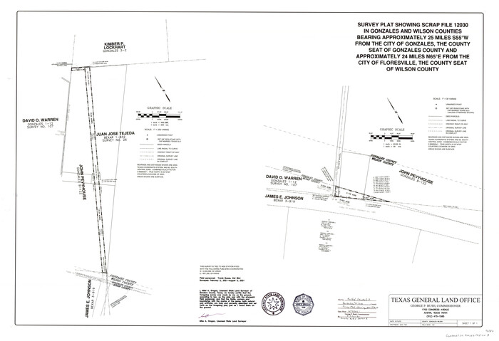
Gonzales County Rolled Sketch 3
2021
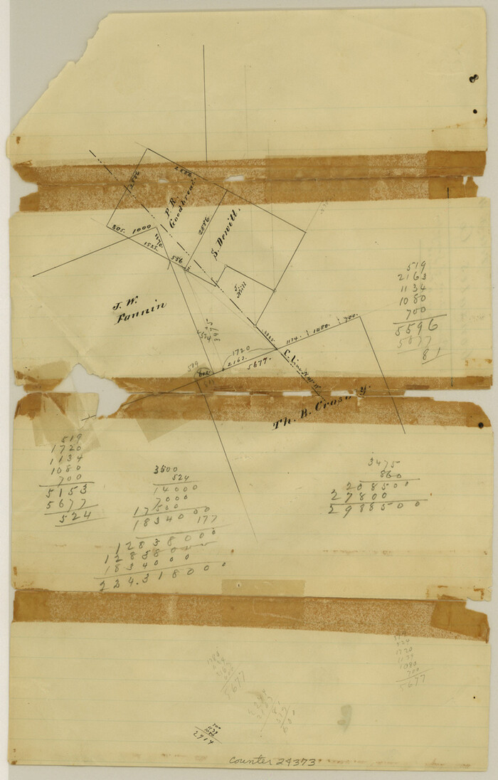
Gonzales County Sketch File 4
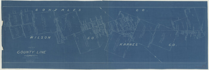
Gonzales County Working Sketch 1
1913

Gonzales County Working Sketch 4a
1979
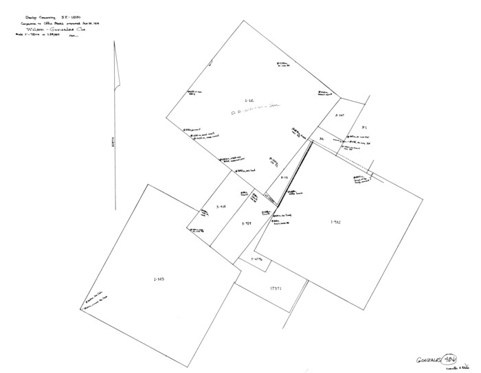
Gonzales County Working Sketch 4b
1979
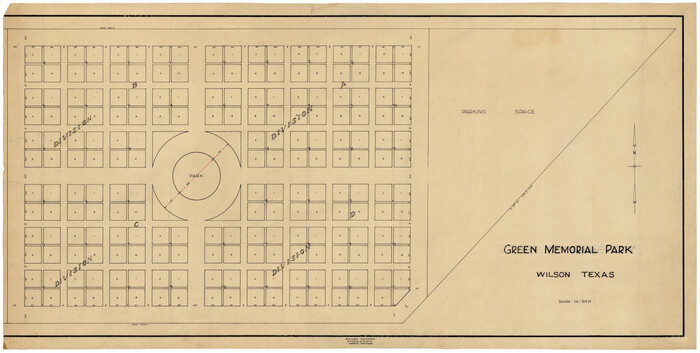
Green Memorial Park
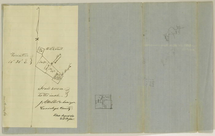
Guadalupe County Sketch File 3
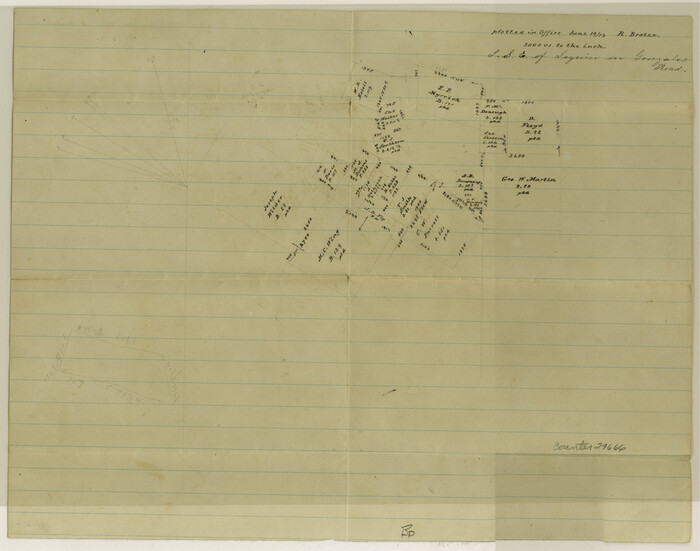
Guadalupe County Sketch File 6
1873

Guadalupe County Sketch File 7
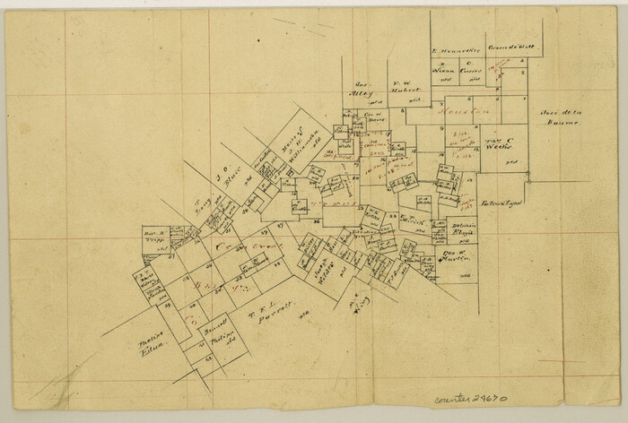
Guadalupe County Sketch File 7b

Guadalupe County Sketch File 7c

Harris County Sketch File 33a

Map Showing Showing San Antonio & Aransas Pass Railway from San Antonio to Wilson County Line

Map of Wilson County
1840

Map of Wilson County
1879
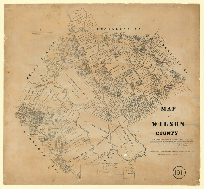
Map of Wilson County, Texas
1879
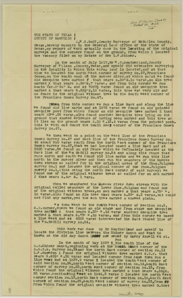
McMullen County Sketch File 37
1937

Atascosa County Rolled Sketch 26
2013
-
Size
24.6 x 36.6 inches
-
Map/Doc
95409
-
Creation Date
2013

Atascosa County Rolled Sketch 27
2012
-
Size
25.9 x 34.1 inches
-
Map/Doc
95410
-
Creation Date
2012

Atascosa County Sketch File 2a
-
Size
25.1 x 15.3 inches
-
Map/Doc
10858

Bexar County Rolled Sketch 16
1847
-
Size
21.1 x 14.8 inches
-
Map/Doc
5141
-
Creation Date
1847

Bexar County Sketch File 60
2009
-
Size
11.0 x 8.5 inches
-
Map/Doc
93669
-
Creation Date
2009

Bexar County Sketch File X
1878
-
Size
8.0 x 10.5 inches
-
Map/Doc
14463
-
Creation Date
1878

Bexar County Working Sketch 21
1984
-
Size
21.3 x 28.8 inches
-
Map/Doc
67337
-
Creation Date
1984

General Highway Map, Wilson County, Texas
1940
-
Size
18.2 x 24.8 inches
-
Map/Doc
79282
-
Creation Date
1940

General Highway Map, Wilson County, Texas
1961
-
Size
18.0 x 24.6 inches
-
Map/Doc
79715
-
Creation Date
1961

Gonzales County Rolled Sketch 1
1917
-
Size
21.9 x 23.9 inches
-
Map/Doc
6027
-
Creation Date
1917

Gonzales County Rolled Sketch 1
1917
-
Size
22.1 x 24.0 inches
-
Map/Doc
6028
-
Creation Date
1917

Gonzales County Rolled Sketch 2
2021
-
Size
24.0 x 35.9 inches
-
Map/Doc
96581
-
Creation Date
2021

Gonzales County Rolled Sketch 3
2021
-
Size
24.4 x 35.6 inches
-
Map/Doc
96582
-
Creation Date
2021

Gonzales County Sketch File 4
-
Size
12.6 x 8.0 inches
-
Map/Doc
24373

Gonzales County Working Sketch 1
1913
-
Size
16.8 x 49.8 inches
-
Map/Doc
63216
-
Creation Date
1913

Gonzales County Working Sketch 4a
1979
-
Size
30.9 x 32.2 inches
-
Map/Doc
63219
-
Creation Date
1979

Gonzales County Working Sketch 4b
1979
-
Size
21.2 x 27.3 inches
-
Map/Doc
63220
-
Creation Date
1979

Green Memorial Park
-
Size
41.4 x 20.9 inches
-
Map/Doc
92937

Guadalupe County Sketch File 3
-
Size
8.0 x 12.6 inches
-
Map/Doc
24650

Guadalupe County Sketch File 6
1873
-
Size
9.7 x 12.3 inches
-
Map/Doc
24666
-
Creation Date
1873

Guadalupe County Sketch File 7
-
Size
15.6 x 19.5 inches
-
Map/Doc
11590

Guadalupe County Sketch File 7b
-
Size
7.3 x 10.9 inches
-
Map/Doc
24670

Guadalupe County Sketch File 7c
-
Size
12.7 x 15.5 inches
-
Map/Doc
24672

Harris County Sketch File 33a
-
Size
34.1 x 30.0 inches
-
Map/Doc
10478

Map Showing Showing San Antonio & Aransas Pass Railway from San Antonio to Wilson County Line
-
Size
25.8 x 101.6 inches
-
Map/Doc
64283

Map of Wilson County
1840
-
Size
24.4 x 21.0 inches
-
Map/Doc
4154
-
Creation Date
1840

Map of Wilson County
1879
-
Size
23.0 x 24.4 inches
-
Map/Doc
4157
-
Creation Date
1879

Map of Wilson County, Texas
1879
-
Size
22.9 x 24.8 inches
-
Map/Doc
674
-
Creation Date
1879

McMullen County Sketch File 37
1937
-
Size
14.3 x 8.8 inches
-
Map/Doc
31410
-
Creation Date
1937

Wilson County
1872
-
Size
22.4 x 22.1 inches
-
Map/Doc
1618
-
Creation Date
1872