Aerial Perspective of Packery Channel


Print $20.00
- Digital $50.00
Aerial Perspective of Packery Channel
1938
Size: 16.5 x 19.3 inches
3001
Aransas County Aerial Photograph Index Sheet 1


Print $20.00
- Digital $50.00
Aransas County Aerial Photograph Index Sheet 1
1957
Size: 22.9 x 18.2 inches
83659
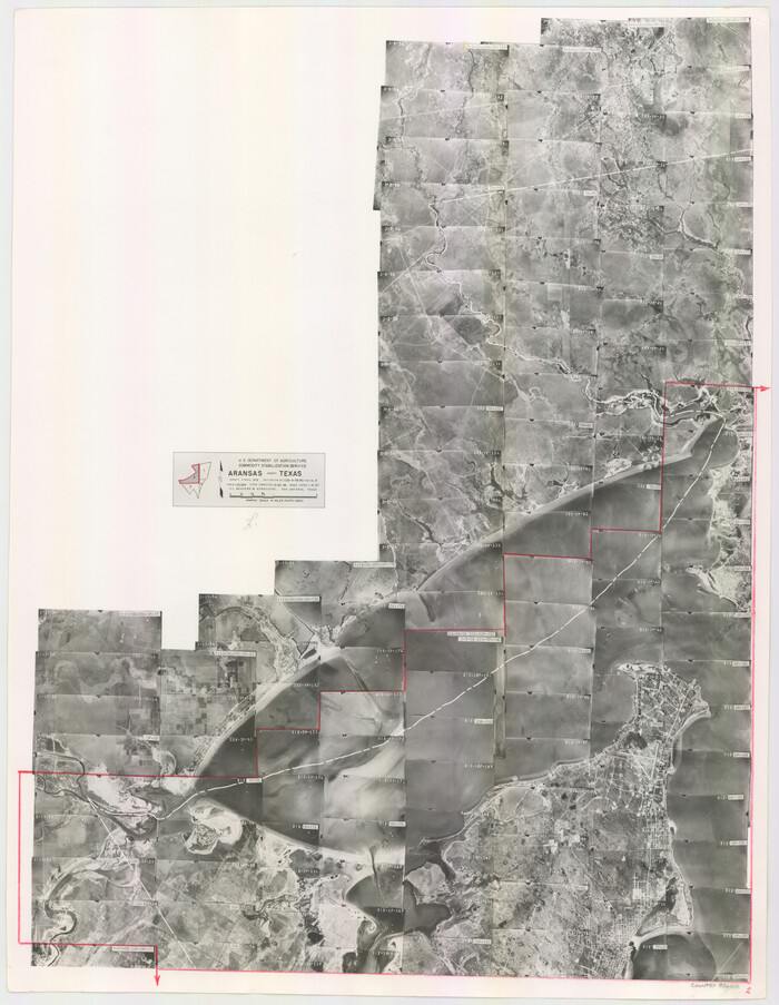
Aransas County Aerial Photograph Index Sheet 2

Print $20.00
- Digital $50.00
Aransas County Aerial Photograph Index Sheet 2
1957
Size: 23.0 x 17.9 inches
83660
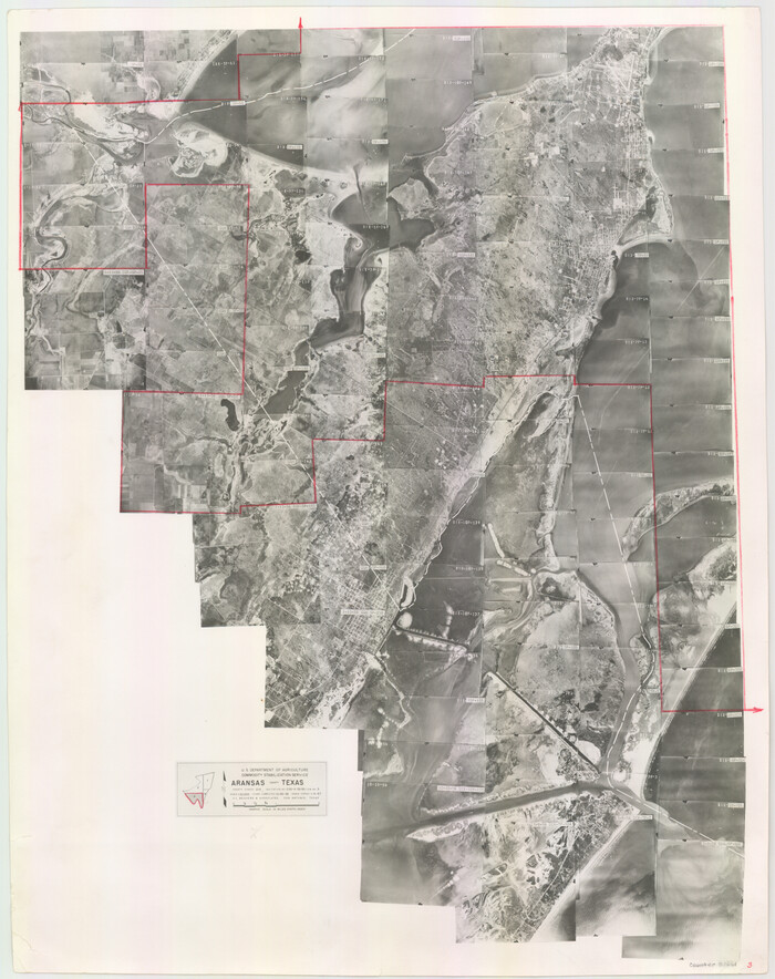
Aransas County Aerial Photograph Index Sheet 3

Print $20.00
- Digital $50.00
Aransas County Aerial Photograph Index Sheet 3
1957
Size: 22.8 x 18.1 inches
83661
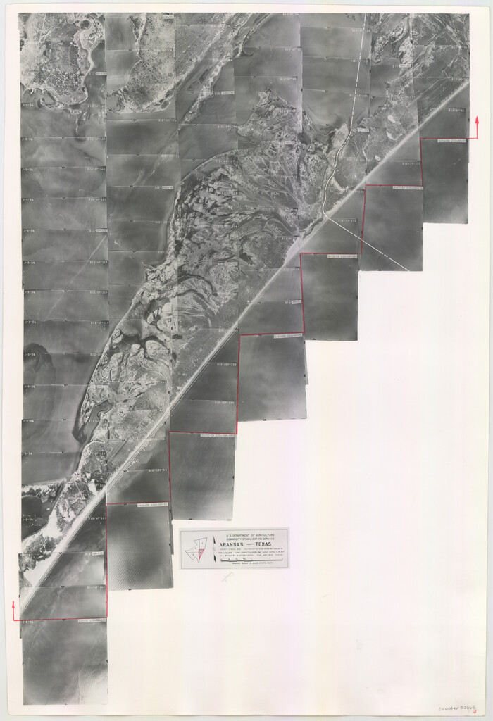
Aransas County Aerial Photograph Index Sheet 4

Print $20.00
- Digital $50.00
Aransas County Aerial Photograph Index Sheet 4
1957
Size: 23.6 x 16.1 inches
83662
Aransas County Rolled Sketch 15A


Print $20.00
- Digital $50.00
Aransas County Rolled Sketch 15A
1969
Size: 26.3 x 25.4 inches
8411
Aransas County Rolled Sketch 15B


Print $20.00
- Digital $50.00
Aransas County Rolled Sketch 15B
Size: 19.0 x 19.8 inches
76066
Aransas County Rolled Sketch 18

Print $29.00
- Digital $50.00
Aransas County Rolled Sketch 18
1965
Size: 11.0 x 15.1 inches
42328
Aransas County Rolled Sketch 19C


Print $20.00
- Digital $50.00
Aransas County Rolled Sketch 19C
Size: 40.9 x 30.6 inches
5063
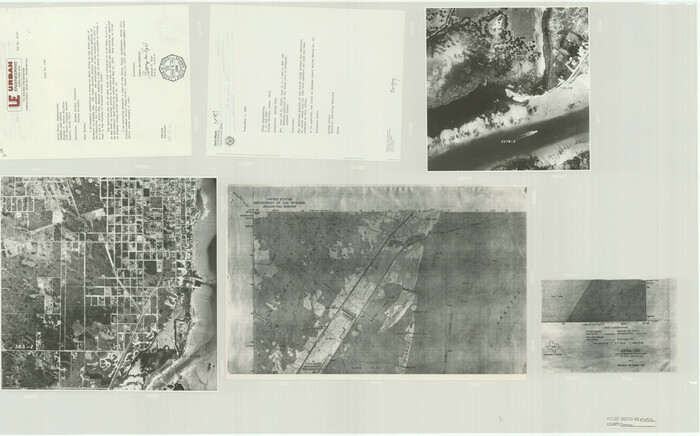
Aransas County Rolled Sketch 25A-25E

Print $20.00
- Digital $50.00
Aransas County Rolled Sketch 25A-25E
Size: 24.6 x 39.5 inches
76078
Aransas County Rolled Sketch 27A


Print $2.00
- Digital $50.00
Aransas County Rolled Sketch 27A
1930
Size: 8.9 x 7.2 inches
5058
Aransas County Rolled Sketch 27B


Print $2.00
- Digital $50.00
Aransas County Rolled Sketch 27B
1958
Size: 9.1 x 9.1 inches
5057
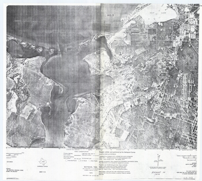
Aransas County Rolled Sketch 27C

Print $20.00
- Digital $50.00
Aransas County Rolled Sketch 27C
1979
Size: 17.3 x 19.3 inches
5056
Aransas County Rolled Sketch 27D


Print $20.00
- Digital $50.00
Aransas County Rolled Sketch 27D
1930
Size: 40.5 x 40.2 inches
8418
Aransas County Rolled Sketch 27E


Print $20.00
- Digital $50.00
Aransas County Rolled Sketch 27E
1958
Size: 30.2 x 30.9 inches
8419
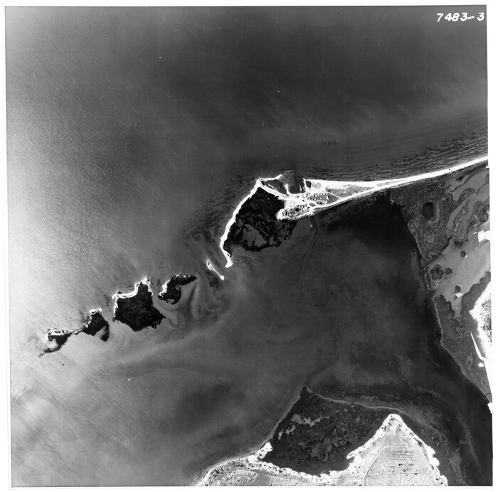
Aransas County Rolled Sketch 27G

Print $20.00
- Digital $50.00
Aransas County Rolled Sketch 27G
1983
Size: 32.8 x 33.0 inches
8421
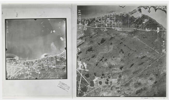
Aransas County Rolled Sketch 31A

Print $20.00
- Digital $50.00
Aransas County Rolled Sketch 31A
1950
Size: 25.1 x 42.4 inches
77499
Aransas County Sketch File 35


Print $61.00
- Digital $50.00
Aransas County Sketch File 35
1984
Size: 11.0 x 8.8 inches
13347
Austin County Rolled Sketch 7


Print $47.00
- Digital $50.00
Austin County Rolled Sketch 7
1974
Size: 10.4 x 15.3 inches
42340
Baylor County Aerial Photograph Index Sheet 1


Print $20.00
- Digital $50.00
Baylor County Aerial Photograph Index Sheet 1
1950
Size: 21.4 x 17.4 inches
83663
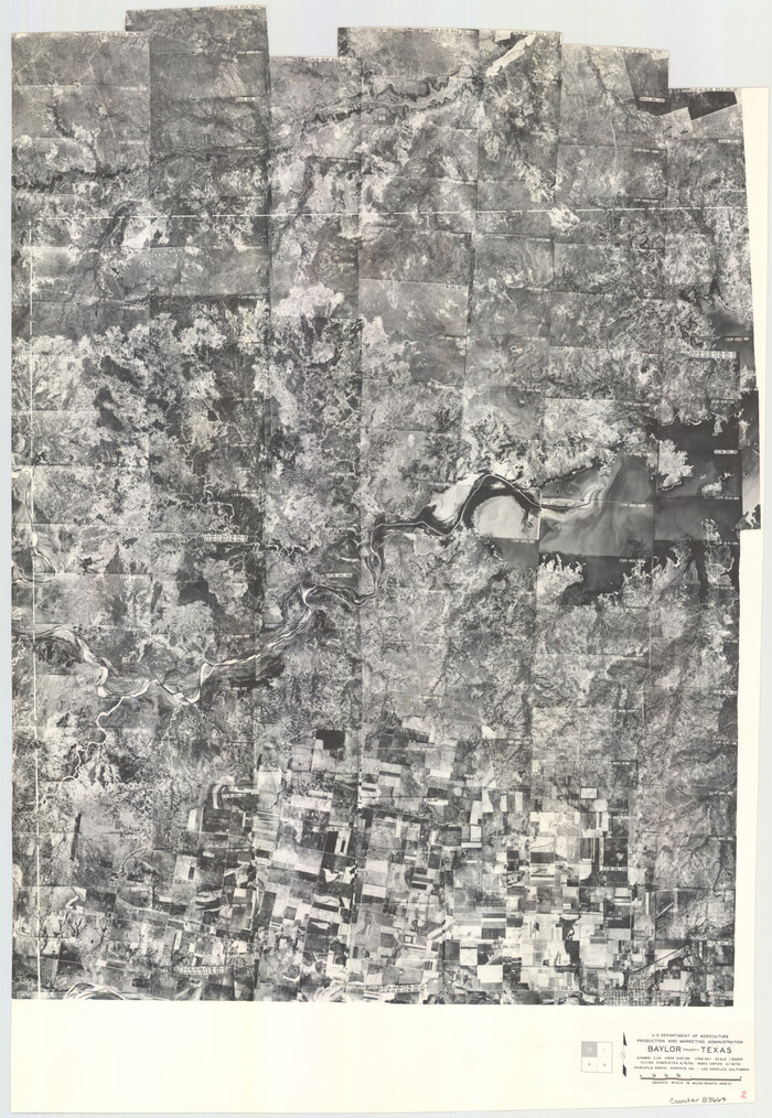
Baylor County Aerial Photograph Index Sheet 2

Print $20.00
- Digital $50.00
Baylor County Aerial Photograph Index Sheet 2
1950
Size: 22.2 x 15.4 inches
83664
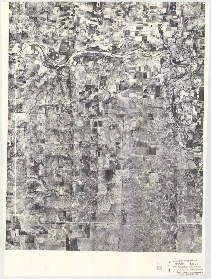
Baylor County Aerial Photograph Index Sheet 3

Print $20.00
- Digital $50.00
Baylor County Aerial Photograph Index Sheet 3
1950
Size: 20.4 x 15.5 inches
83665
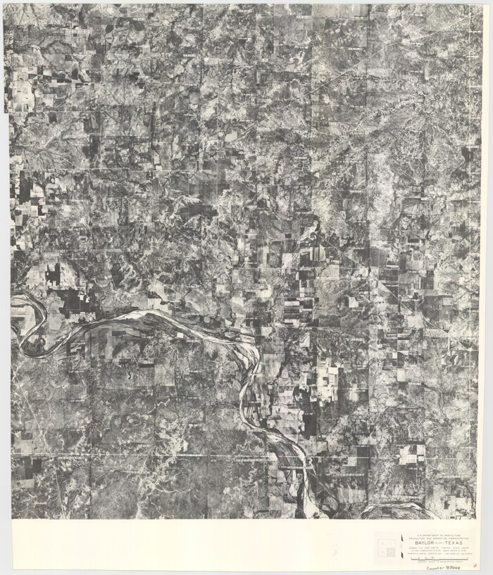
Baylor County Aerial Photograph Index Sheet 4

Print $20.00
- Digital $50.00
Baylor County Aerial Photograph Index Sheet 4
1950
Size: 20.3 x 17.4 inches
83666
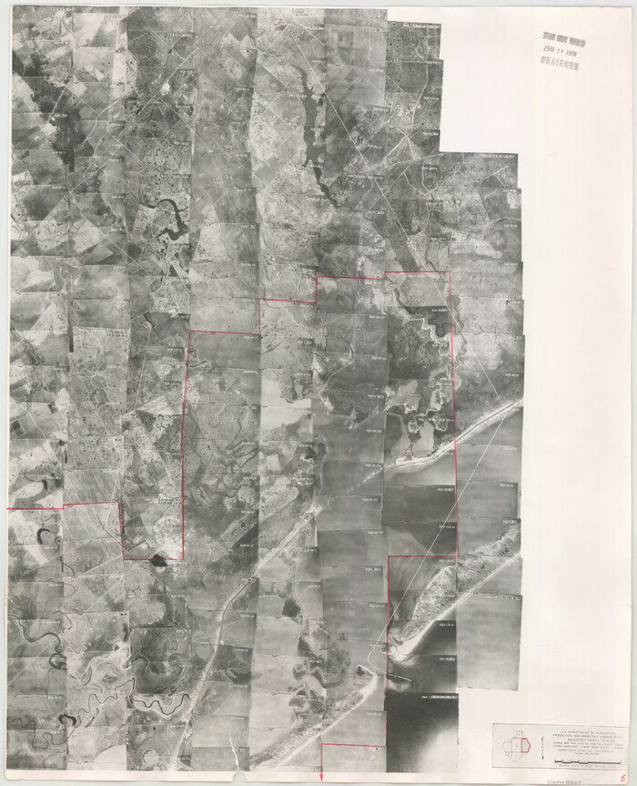
Brazoria County Aerial Photograph Index Sheet 5

Print $20.00
- Digital $50.00
Brazoria County Aerial Photograph Index Sheet 5
1953
Size: 24.0 x 19.5 inches
83667
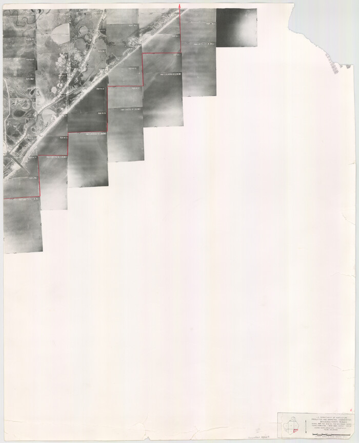
Brazoria County Aerial Photograph Index Sheet 6

Print $20.00
- Digital $50.00
Brazoria County Aerial Photograph Index Sheet 6
1953
Size: 23.8 x 19.3 inches
83668
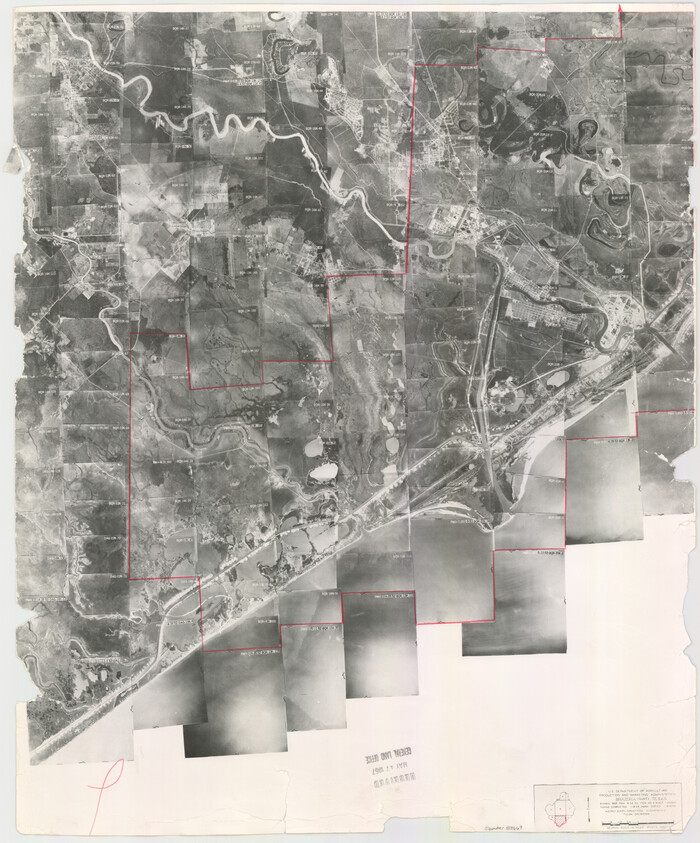
Brazoria County Aerial Photograph Index Sheet 7

Print $20.00
- Digital $50.00
Brazoria County Aerial Photograph Index Sheet 7
1953
Size: 23.9 x 19.8 inches
83669
Aerial Perspective of Packery Channel


Print $20.00
- Digital $50.00
Aerial Perspective of Packery Channel
1938
-
Size
16.5 x 19.3 inches
-
Map/Doc
3001
-
Creation Date
1938
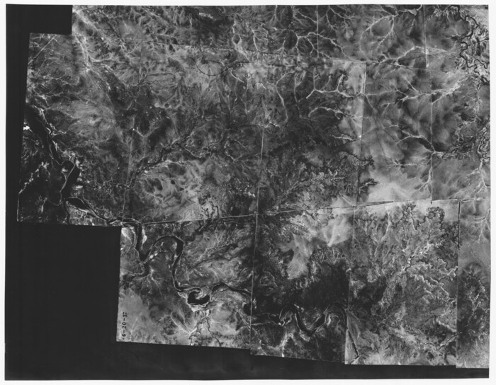
Aerial Photos

Print $20.00
- Digital $50.00
Aerial Photos
1937
-
Size
15.9 x 12.4 inches
-
Map/Doc
92106
-
Creation Date
1937
Aransas County Aerial Photograph Index Sheet 1


Print $20.00
- Digital $50.00
Aransas County Aerial Photograph Index Sheet 1
1957
-
Size
22.9 x 18.2 inches
-
Map/Doc
83659
-
Creation Date
1957
Aransas County Aerial Photograph Index Sheet 2


Print $20.00
- Digital $50.00
Aransas County Aerial Photograph Index Sheet 2
1957
-
Size
23.0 x 17.9 inches
-
Map/Doc
83660
-
Creation Date
1957
Aransas County Aerial Photograph Index Sheet 3


Print $20.00
- Digital $50.00
Aransas County Aerial Photograph Index Sheet 3
1957
-
Size
22.8 x 18.1 inches
-
Map/Doc
83661
-
Creation Date
1957
Aransas County Aerial Photograph Index Sheet 4


Print $20.00
- Digital $50.00
Aransas County Aerial Photograph Index Sheet 4
1957
-
Size
23.6 x 16.1 inches
-
Map/Doc
83662
-
Creation Date
1957
Aransas County Rolled Sketch 15A


Print $20.00
- Digital $50.00
Aransas County Rolled Sketch 15A
1969
-
Size
26.3 x 25.4 inches
-
Map/Doc
8411
-
Creation Date
1969
Aransas County Rolled Sketch 15B


Print $20.00
- Digital $50.00
Aransas County Rolled Sketch 15B
-
Size
19.0 x 19.8 inches
-
Map/Doc
76066
Aransas County Rolled Sketch 18


Print $29.00
- Digital $50.00
Aransas County Rolled Sketch 18
1965
-
Size
11.0 x 15.1 inches
-
Map/Doc
42328
-
Creation Date
1965
Aransas County Rolled Sketch 19C


Print $20.00
- Digital $50.00
Aransas County Rolled Sketch 19C
-
Size
40.9 x 30.6 inches
-
Map/Doc
5063
Aransas County Rolled Sketch 25A-25E


Print $20.00
- Digital $50.00
Aransas County Rolled Sketch 25A-25E
-
Size
24.6 x 39.5 inches
-
Map/Doc
76078
Aransas County Rolled Sketch 27A


Print $2.00
- Digital $50.00
Aransas County Rolled Sketch 27A
1930
-
Size
8.9 x 7.2 inches
-
Map/Doc
5058
-
Creation Date
1930
Aransas County Rolled Sketch 27B


Print $2.00
- Digital $50.00
Aransas County Rolled Sketch 27B
1958
-
Size
9.1 x 9.1 inches
-
Map/Doc
5057
-
Creation Date
1958
Aransas County Rolled Sketch 27C


Print $20.00
- Digital $50.00
Aransas County Rolled Sketch 27C
1979
-
Size
17.3 x 19.3 inches
-
Map/Doc
5056
-
Creation Date
1979
Aransas County Rolled Sketch 27D


Print $20.00
- Digital $50.00
Aransas County Rolled Sketch 27D
1930
-
Size
40.5 x 40.2 inches
-
Map/Doc
8418
-
Creation Date
1930
Aransas County Rolled Sketch 27E


Print $20.00
- Digital $50.00
Aransas County Rolled Sketch 27E
1958
-
Size
30.2 x 30.9 inches
-
Map/Doc
8419
-
Creation Date
1958
Aransas County Rolled Sketch 27G


Print $20.00
- Digital $50.00
Aransas County Rolled Sketch 27G
1983
-
Size
32.8 x 33.0 inches
-
Map/Doc
8421
-
Creation Date
1983
Aransas County Rolled Sketch 31A


Print $20.00
- Digital $50.00
Aransas County Rolled Sketch 31A
1950
-
Size
25.1 x 42.4 inches
-
Map/Doc
77499
-
Creation Date
1950
Aransas County Sketch File 35


Print $61.00
- Digital $50.00
Aransas County Sketch File 35
1984
-
Size
11.0 x 8.8 inches
-
Map/Doc
13347
-
Creation Date
1984
Austin County Rolled Sketch 7


Print $47.00
- Digital $50.00
Austin County Rolled Sketch 7
1974
-
Size
10.4 x 15.3 inches
-
Map/Doc
42340
-
Creation Date
1974
Baylor County Aerial Photograph Index Sheet 1


Print $20.00
- Digital $50.00
Baylor County Aerial Photograph Index Sheet 1
1950
-
Size
21.4 x 17.4 inches
-
Map/Doc
83663
-
Creation Date
1950
Baylor County Aerial Photograph Index Sheet 2


Print $20.00
- Digital $50.00
Baylor County Aerial Photograph Index Sheet 2
1950
-
Size
22.2 x 15.4 inches
-
Map/Doc
83664
-
Creation Date
1950
Baylor County Aerial Photograph Index Sheet 3


Print $20.00
- Digital $50.00
Baylor County Aerial Photograph Index Sheet 3
1950
-
Size
20.4 x 15.5 inches
-
Map/Doc
83665
-
Creation Date
1950
Baylor County Aerial Photograph Index Sheet 4


Print $20.00
- Digital $50.00
Baylor County Aerial Photograph Index Sheet 4
1950
-
Size
20.3 x 17.4 inches
-
Map/Doc
83666
-
Creation Date
1950
Brazoria County Aerial Photograph Index Sheet 5


Print $20.00
- Digital $50.00
Brazoria County Aerial Photograph Index Sheet 5
1953
-
Size
24.0 x 19.5 inches
-
Map/Doc
83667
-
Creation Date
1953
Brazoria County Aerial Photograph Index Sheet 6


Print $20.00
- Digital $50.00
Brazoria County Aerial Photograph Index Sheet 6
1953
-
Size
23.8 x 19.3 inches
-
Map/Doc
83668
-
Creation Date
1953
Brazoria County Aerial Photograph Index Sheet 7


Print $20.00
- Digital $50.00
Brazoria County Aerial Photograph Index Sheet 7
1953
-
Size
23.9 x 19.8 inches
-
Map/Doc
83669
-
Creation Date
1953


