763 results

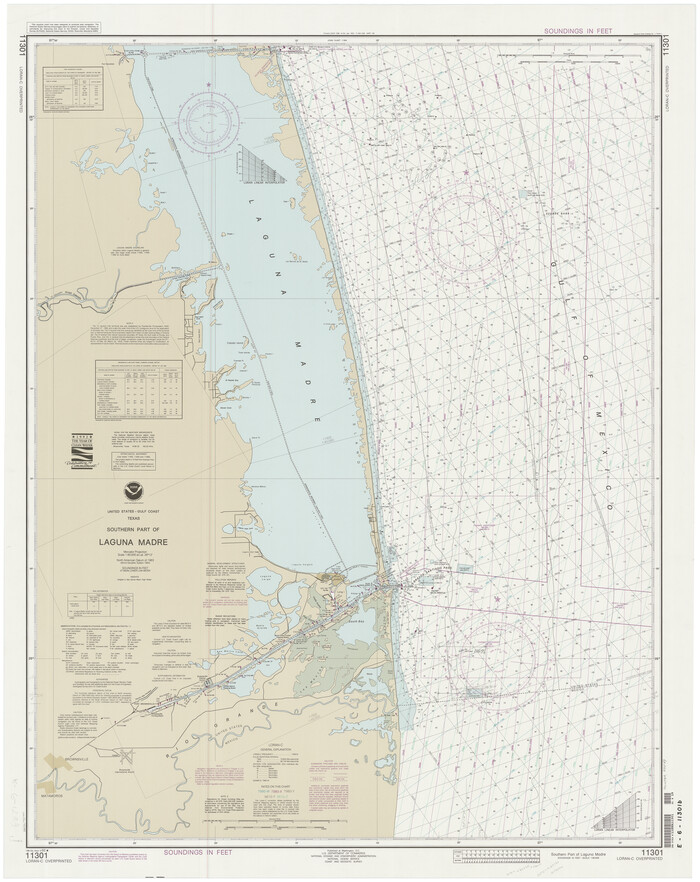
Southern Part of Laguna Madre
73549.tif
Print $20.00 - Digital $50.00

Southern Part of Laguna Madre

1992

Size: 44.9 x 35.0 inches
73549
Galveston Bay Entrance - Galveston and Texas City Harbors
69866.tif
Print $40.00 - Digital $50.00

Galveston Bay Entrance - Galveston and Texas City Harbors

1992

Size: 37.1 x 55.6 inches
69866
Sabine Pass and Lake
69828-1.tif
Print $40.00 - Digital $50.00

Sabine Pass and Lake

1992

Size: 49.2 x 28.6 inches
69828
Upper Galveston Bay, Houston Ship Channel, Dollar Pt. to Atkinson I.
69899.tif
Print $40.00 - Digital $50.00

Upper Galveston Bay, Houston Ship Channel, Dollar Pt. to Atkinson I.

1992

Size: 49.2 x 37.0 inches
69899
Matagorda Bay Including Lavaca and Tres Palacios Bays
73366.tif
Print $20.00 - Digital $50.00

Matagorda Bay Including Lavaca and Tres Palacios Bays

1992

Size: 37.0 x 47.8 inches
73366
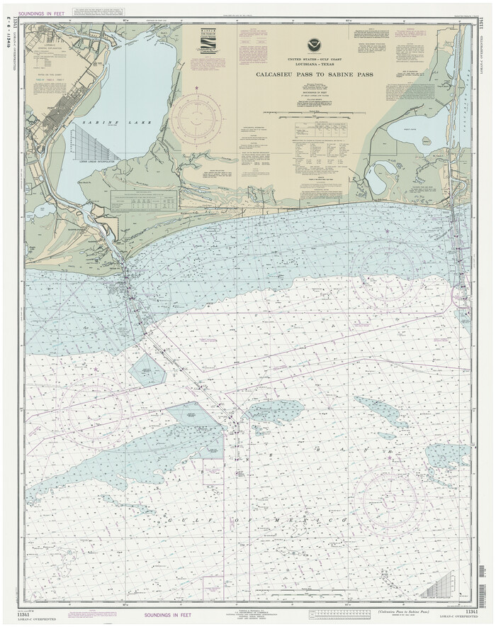
Calcasieu Pass to Sabine Pass
69815.tif
Print $20.00 - Digital $50.00

Calcasieu Pass to Sabine Pass

1992

Size: 44.5 x 35.8 inches
69815
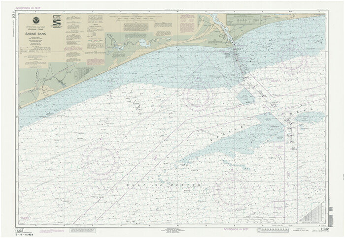
Sabine Bank
69854-1.tif
Print $40.00 - Digital $50.00

Sabine Bank

1992

Size: 34.1 x 48.4 inches
69854
Matagorda Bay and Approaches
73390.tif
Print $20.00 - Digital $50.00

Matagorda Bay and Approaches

1992

Size: 36.6 x 44.6 inches
73390
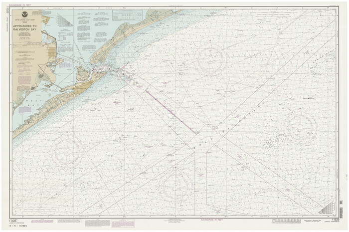
Approaches to Galveston Bay
69888.tif
Print $40.00 - Digital $50.00

Approaches to Galveston Bay

1992

Size: 36.6 x 55.6 inches
69888
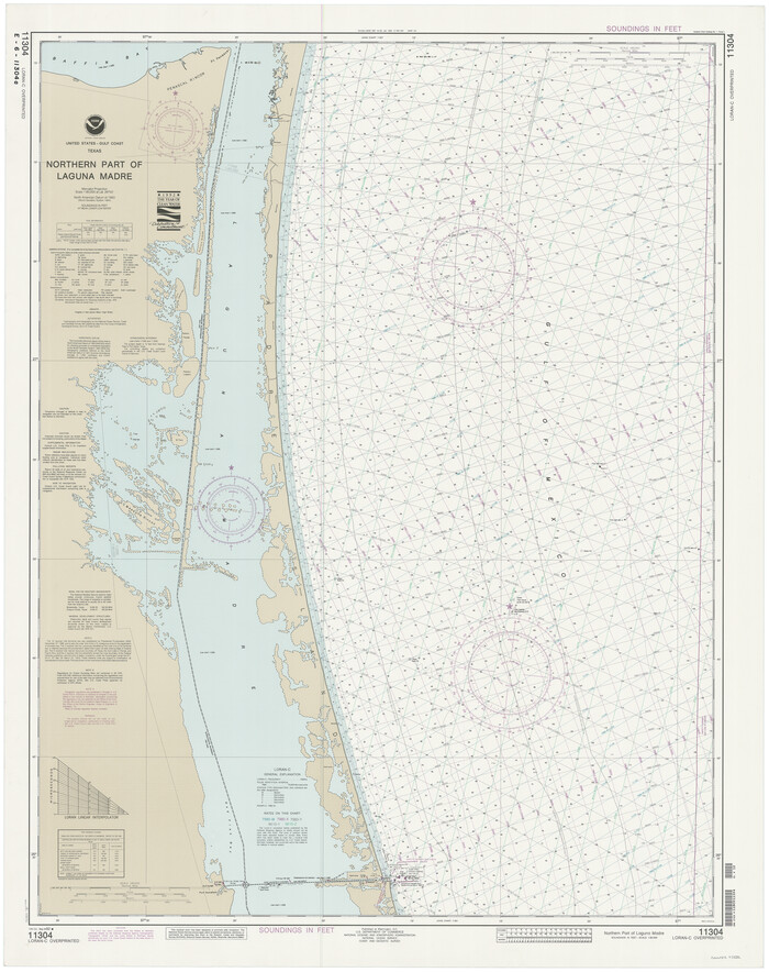
Northern Part of Laguna Madre
73532.tif
Print $20.00 - Digital $50.00

Northern Part of Laguna Madre

1992

Size: 45.4 x 35.3 inches
73532
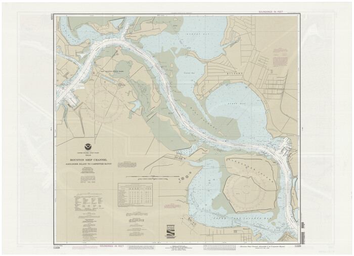
Houston Ship Channel, Alexander Island to Carpenter Bayou
69917.tif
Print $40.00 - Digital $50.00

Houston Ship Channel, Alexander Island to Carpenter Bayou

1992

Size: 35.3 x 49.3 inches
69917
Houston Ship Channel, Alexander Island to Carpenter Bayou
69918.tif
Print $40.00 - Digital $50.00

Houston Ship Channel, Alexander Island to Carpenter Bayou

1992

Size: 36.0 x 49.4 inches
69918
Houston Ship Channel, Atkinson Island to Alexander Island
69904.tif
Print $40.00 - Digital $50.00

Houston Ship Channel, Atkinson Island to Alexander Island

1992
Size: 37.1 x 54.3 inches
69904
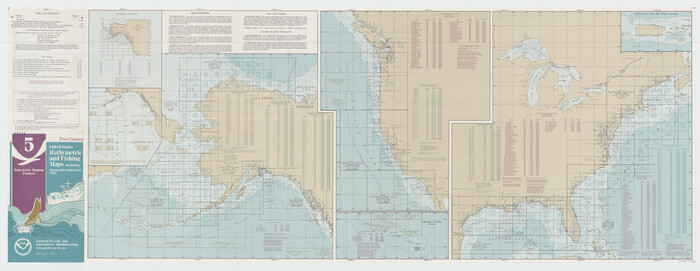
United States Bathymetric and Fishing Maps including Topographic/Bathymetric Maps
76127.tif
Print $40.00 - Digital $50.00

United States Bathymetric and Fishing Maps including Topographic/Bathymetric Maps

1992

Size: 21.3 x 55.1 inches
76127
United States Bathymetric and Fishing Maps including Topographic/Bathymetric Maps
76128.tif
Print $40.00 - Digital $50.00

United States Bathymetric and Fishing Maps including Topographic/Bathymetric Maps

1992

Size: 21.5 x 54.9 inches
76128
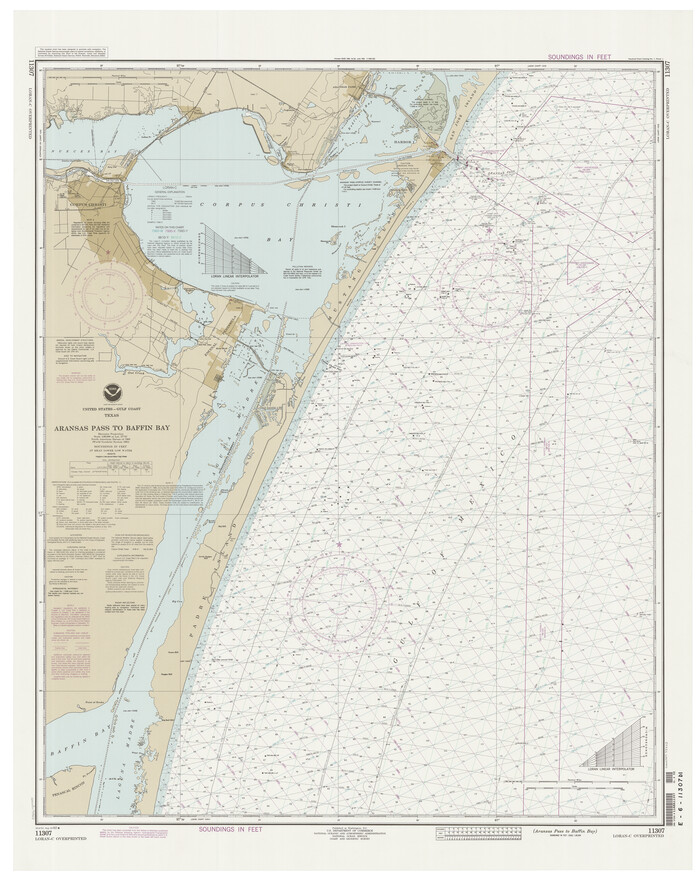
Aransas Pass to Baffin Bay
73423-1.tif
Print $20.00 - Digital $50.00

Aransas Pass to Baffin Bay

1992

Size: 45.0 x 36.0 inches
73423
Matagorda Light to Aransas Pass
73405-1.tif
Print $20.00 - Digital $50.00

Matagorda Light to Aransas Pass

1992

Size: 35.5 x 44.2 inches
73405
United States Atlantic and Gulf Coasts Including Puerto Rico and the Virgin Islands
76123.tif
Print $40.00 - Digital $50.00

United States Atlantic and Gulf Coasts Including Puerto Rico and the Virgin Islands

1992

Size: 21.7 x 60.7 inches
76123
United States Atlantic and Gulf Coasts Including Puerto Rico and the Virgin Islands
76124.tif
Print $40.00 - Digital $50.00

United States Atlantic and Gulf Coasts Including Puerto Rico and the Virgin Islands

1992

Size: 21.6 x 60.4 inches
76124
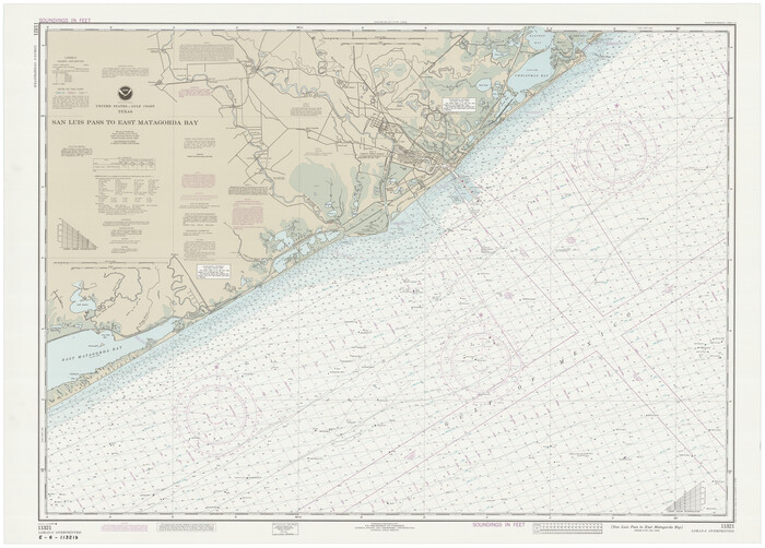
San Luis Pass to East Matagorda Bay
69972.tif
Print $40.00 - Digital $50.00

San Luis Pass to East Matagorda Bay

1991

Size: 38.0 x 49.5 inches
69972
Sabine Bank
69853-1.tif
Print $40.00 - Digital $50.00

Sabine Bank

1990

Size: 35.7 x 48.6 inches
69853
Brazos Island Harbor, Texas - Dredging Entrance Channel Plan
83337.tif
Print $20.00 - Digital $50.00

Brazos Island Harbor, Texas - Dredging Entrance Channel Plan

1990

Size: 14.6 x 20.0 inches
83337
Brazos Island Harbor, Texas - Dredging Entrance Channel Plan
83338.tif
Print $20.00 - Digital $50.00

Brazos Island Harbor, Texas - Dredging Entrance Channel Plan

1990

Size: 14.5 x 20.1 inches
83338
Brazos Island Harbor, Texas - Dredging Entrance Channel Plan
83339.tif
Print $20.00 - Digital $50.00

Brazos Island Harbor, Texas - Dredging Entrance Channel Plan

1990

Size: 14.5 x 19.9 inches
83339
Approaches to Galveston Bay
69887.tif
Print $40.00 - Digital $50.00

Approaches to Galveston Bay

1989

Size: 37.1 x 55.6 inches
69887
Houston Ship Channel, Alexander Island to Carpenter Bayou
69915.tif
Print $40.00 - Digital $50.00

Houston Ship Channel, Alexander Island to Carpenter Bayou

1989

Size: 35.4 x 49.3 inches
69915
Houston Ship Channel, Alexander Island to Carpenter Bayou
69916.tif
Print $40.00 - Digital $50.00

Houston Ship Channel, Alexander Island to Carpenter Bayou

1989

Size: 35.5 x 49.4 inches
69916
United States Atlantic and Gulf Coasts Including Puerto Rico and the Virgin Islands
73552.tif
Print $40.00 - Digital $50.00

United States Atlantic and Gulf Coasts Including Puerto Rico and the Virgin Islands

1989

Size: 21.4 x 60.4 inches
73552
United States Atlantic and Gulf Coasts Including Puerto Rico and the Virgin Islands
73553.tif
Print $40.00 - Digital $50.00

United States Atlantic and Gulf Coasts Including Puerto Rico and the Virgin Islands

1989

Size: 20.6 x 60.3 inches
73553
United States Bathymetric and Fishing Maps including Topographic/Bathymetric Maps
73556.tif
Print $40.00 - Digital $50.00

United States Bathymetric and Fishing Maps including Topographic/Bathymetric Maps

1989

Size: 21.8 x 54.8 inches
73556
Southern Part of Laguna Madre
73549, Southern Part of Laguna Madre, General Map Collection
Print $20.00 - Digital $50.00

Southern Part of Laguna Madre

1992

  • Size

    44.9 x 35.0 inches

  • Map/Doc

    73549

  • Creation Date

    1992

Galveston Bay Entrance - Galveston and Texas City Harbors
69866, Galveston Bay Entrance - Galveston and Texas City Harbors, General Map Collection
Print $40.00 - Digital $50.00

Galveston Bay Entrance - Galveston and Texas City Harbors

1992
  • Size

    37.1 x 55.6 inches

  • Map/Doc

    69866

  • Creation Date

    1992

Sabine Pass and Lake
69828, Sabine Pass and Lake, General Map Collection
Print $40.00 - Digital $50.00

Sabine Pass and Lake

1992

  • Size

    49.2 x 28.6 inches

  • Map/Doc

    69828

  • Creation Date

    1992

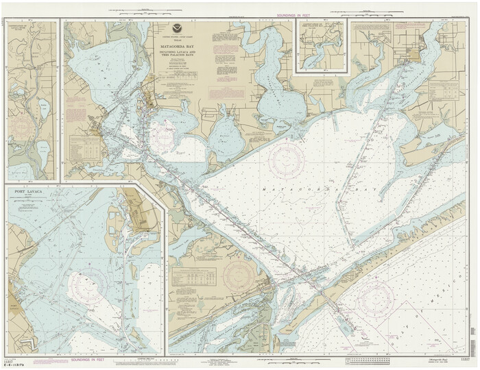
Upper Galveston Bay, Houston Ship Channel, Dollar Pt. to Atkinson I.
69899, Upper Galveston Bay, Houston Ship Channel, Dollar Pt. to Atkinson I., General Map Collection
Print $40.00 - Digital $50.00

Upper Galveston Bay, Houston Ship Channel, Dollar Pt. to Atkinson I.

1992
  • Size

    49.2 x 37.0 inches

  • Map/Doc

    69899

  • Creation Date

    1992

Matagorda Bay Including Lavaca and Tres Palacios Bays
73366, Matagorda Bay Including Lavaca and Tres Palacios Bays, General Map Collection
Print $20.00 - Digital $50.00

Matagorda Bay Including Lavaca and Tres Palacios Bays

1992
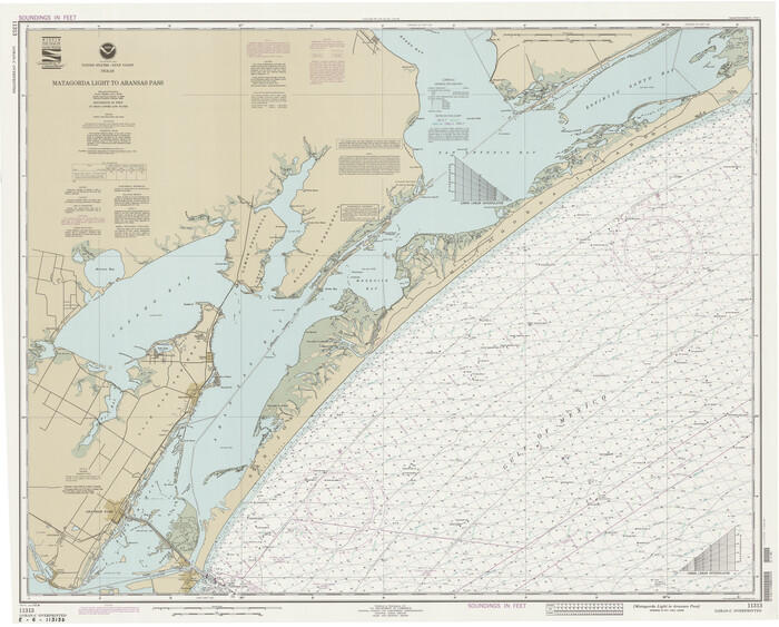
  • Size

    37.0 x 47.8 inches

  • Map/Doc

    73366

  • Creation Date

    1992

Calcasieu Pass to Sabine Pass
69815, Calcasieu Pass to Sabine Pass, General Map Collection
Print $20.00 - Digital $50.00

Calcasieu Pass to Sabine Pass

1992

  • Size

    44.5 x 35.8 inches

  • Map/Doc

    69815

  • Creation Date

    1992

Sabine Bank
69854, Sabine Bank, General Map Collection
Print $40.00 - Digital $50.00

Sabine Bank

1992

  • Size

    34.1 x 48.4 inches

  • Map/Doc

    69854

  • Creation Date

    1992

Matagorda Bay and Approaches
73390, Matagorda Bay and Approaches, General Map Collection
Print $20.00 - Digital $50.00

Matagorda Bay and Approaches

1992

  • Size

    36.6 x 44.6 inches

  • Map/Doc

    73390

  • Creation Date

    1992

Approaches to Galveston Bay
69888, Approaches to Galveston Bay, General Map Collection
Print $40.00 - Digital $50.00

Approaches to Galveston Bay

1992

  • Size

    36.6 x 55.6 inches

  • Map/Doc

    69888

  • Creation Date

    1992

Northern Part of Laguna Madre
73532, Northern Part of Laguna Madre, General Map Collection
Print $20.00 - Digital $50.00

Northern Part of Laguna Madre

1992

  • Size

    45.4 x 35.3 inches

  • Map/Doc

    73532

  • Creation Date

    1992

Houston Ship Channel, Alexander Island to Carpenter Bayou
69917, Houston Ship Channel, Alexander Island to Carpenter Bayou, General Map Collection
Print $40.00 - Digital $50.00

Houston Ship Channel, Alexander Island to Carpenter Bayou

1992

  • Size

    35.3 x 49.3 inches

  • Map/Doc

    69917

  • Creation Date

    1992

Houston Ship Channel, Alexander Island to Carpenter Bayou
69918, Houston Ship Channel, Alexander Island to Carpenter Bayou, General Map Collection
Print $40.00 - Digital $50.00

Houston Ship Channel, Alexander Island to Carpenter Bayou

1992

  • Size

    36.0 x 49.4 inches

  • Map/Doc

    69918

  • Creation Date

    1992

Houston Ship Channel, Atkinson Island to Alexander Island
69904, Houston Ship Channel, Atkinson Island to Alexander Island, General Map Collection
Print $40.00 - Digital $50.00

Houston Ship Channel, Atkinson Island to Alexander Island

1992

  • Size

    37.1 x 54.3 inches

  • Map/Doc

    69904

  • Creation Date

    1992

United States Bathymetric and Fishing Maps including Topographic/Bathymetric Maps
76127, United States Bathymetric and Fishing Maps including Topographic/Bathymetric Maps, General Map Collection
Print $40.00 - Digital $50.00

United States Bathymetric and Fishing Maps including Topographic/Bathymetric Maps

1992

  • Size

    21.3 x 55.1 inches

  • Map/Doc

    76127

  • Creation Date

    1992

United States Bathymetric and Fishing Maps including Topographic/Bathymetric Maps
76128, United States Bathymetric and Fishing Maps including Topographic/Bathymetric Maps, General Map Collection
Print $40.00 - Digital $50.00

United States Bathymetric and Fishing Maps including Topographic/Bathymetric Maps

1992

  • Size

    21.5 x 54.9 inches

  • Map/Doc

    76128

  • Creation Date

    1992

Aransas Pass to Baffin Bay
73423, Aransas Pass to Baffin Bay, General Map Collection
Print $20.00 - Digital $50.00

Aransas Pass to Baffin Bay

1992

  • Size

    45.0 x 36.0 inches

  • Map/Doc

    73423

  • Creation Date

    1992

Matagorda Light to Aransas Pass
73405, Matagorda Light to Aransas Pass, General Map Collection
Print $20.00 - Digital $50.00

Matagorda Light to Aransas Pass

1992

  • Size

    35.5 x 44.2 inches

  • Map/Doc

    73405

  • Creation Date

    1992

United States Atlantic and Gulf Coasts Including Puerto Rico and the Virgin Islands
76123, United States Atlantic and Gulf Coasts Including Puerto Rico and the Virgin Islands, General Map Collection
Print $40.00 - Digital $50.00

United States Atlantic and Gulf Coasts Including Puerto Rico and the Virgin Islands

1992

  • Size

    21.7 x 60.7 inches

  • Map/Doc

    76123

  • Creation Date

    1992

United States Atlantic and Gulf Coasts Including Puerto Rico and the Virgin Islands
76124, United States Atlantic and Gulf Coasts Including Puerto Rico and the Virgin Islands, General Map Collection
Print $40.00 - Digital $50.00

United States Atlantic and Gulf Coasts Including Puerto Rico and the Virgin Islands

1992
  • Size

    21.6 x 60.4 inches

  • Map/Doc

    76124

  • Creation Date

    1992

San Luis Pass to East Matagorda Bay
69972, San Luis Pass to East Matagorda Bay, General Map Collection
Print $40.00 - Digital $50.00

San Luis Pass to East Matagorda Bay

1991

  • Size

    38.0 x 49.5 inches

  • Map/Doc

    69972

  • Creation Date

    1991

Sabine Bank
69853, Sabine Bank, General Map Collection
Print $40.00 - Digital $50.00

Sabine Bank

1990

  • Size

    35.7 x 48.6 inches

  • Map/Doc

    69853

  • Creation Date

    1990

Brazos Island Harbor, Texas - Dredging Entrance Channel Plan
83337, Brazos Island Harbor, Texas - Dredging Entrance Channel Plan, General Map Collection
Print $20.00 - Digital $50.00

Brazos Island Harbor, Texas - Dredging Entrance Channel Plan

1990
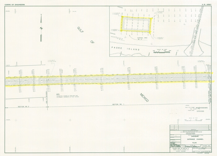
  • Size

    14.6 x 20.0 inches

  • Map/Doc

    83337

  • Creation Date

    1990

Brazos Island Harbor, Texas - Dredging Entrance Channel Plan
83338, Brazos Island Harbor, Texas - Dredging Entrance Channel Plan, General Map Collection
Print $20.00 - Digital $50.00

Brazos Island Harbor, Texas - Dredging Entrance Channel Plan

1990
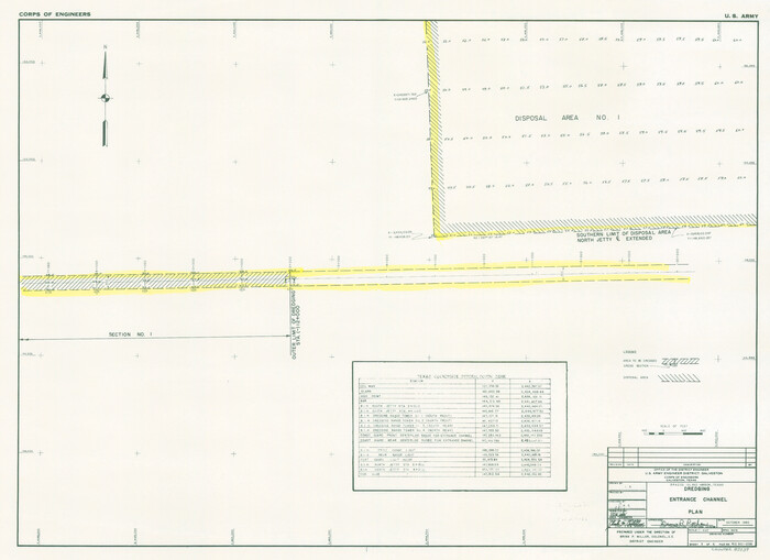
  • Size

    14.5 x 20.1 inches

  • Map/Doc

    83338

  • Creation Date

    1990

Brazos Island Harbor, Texas - Dredging Entrance Channel Plan
83339, Brazos Island Harbor, Texas - Dredging Entrance Channel Plan, General Map Collection
Print $20.00 - Digital $50.00

Brazos Island Harbor, Texas - Dredging Entrance Channel Plan

1990

  • Size

    14.5 x 19.9 inches

  • Map/Doc

    83339

  • Creation Date

    1990

Approaches to Galveston Bay
69887, Approaches to Galveston Bay, General Map Collection
Print $40.00 - Digital $50.00

Approaches to Galveston Bay

1989

  • Size

    37.1 x 55.6 inches

  • Map/Doc

    69887

  • Creation Date

    1989

Houston Ship Channel, Alexander Island to Carpenter Bayou
69915, Houston Ship Channel, Alexander Island to Carpenter Bayou, General Map Collection
Print $40.00 - Digital $50.00

Houston Ship Channel, Alexander Island to Carpenter Bayou

1989

  • Size

    35.4 x 49.3 inches

  • Map/Doc

    69915

  • Creation Date

    1989

Houston Ship Channel, Alexander Island to Carpenter Bayou
69916, Houston Ship Channel, Alexander Island to Carpenter Bayou, General Map Collection
Print $40.00 - Digital $50.00

Houston Ship Channel, Alexander Island to Carpenter Bayou

1989
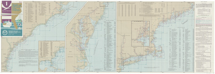
  • Size

    35.5 x 49.4 inches

  • Map/Doc

    69916

  • Creation Date

    1989

United States Atlantic and Gulf Coasts Including Puerto Rico and the Virgin Islands
73552, United States Atlantic and Gulf Coasts Including Puerto Rico and the Virgin Islands, General Map Collection
Print $40.00 - Digital $50.00

United States Atlantic and Gulf Coasts Including Puerto Rico and the Virgin Islands

1989
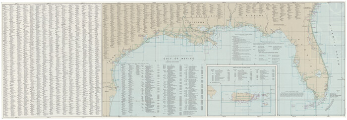
  • Size

    21.4 x 60.4 inches

  • Map/Doc

    73552

  • Creation Date

    1989

United States Atlantic and Gulf Coasts Including Puerto Rico and the Virgin Islands
73553, United States Atlantic and Gulf Coasts Including Puerto Rico and the Virgin Islands, General Map Collection
Print $40.00 - Digital $50.00

United States Atlantic and Gulf Coasts Including Puerto Rico and the Virgin Islands

1989
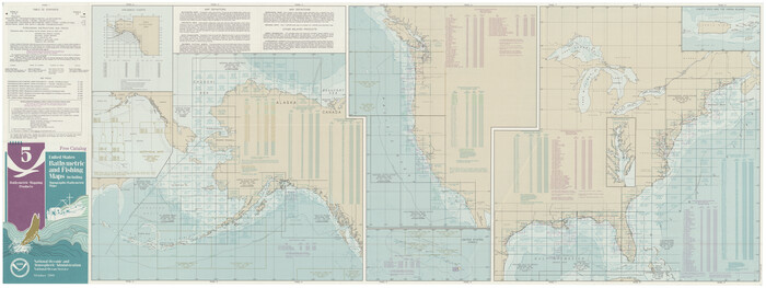
  • Size

    20.6 x 60.3 inches

  • Map/Doc

    73553

  • Creation Date

    1989

United States Bathymetric and Fishing Maps including Topographic/Bathymetric Maps
73556, United States Bathymetric and Fishing Maps including Topographic/Bathymetric Maps, General Map Collection
Print $40.00 - Digital $50.00

United States Bathymetric and Fishing Maps including Topographic/Bathymetric Maps

1989

  • Size

    21.8 x 54.8 inches

  • Map/Doc

    73556

  • Creation Date

    1989