
2nd Chain to Long Reef, Texas
1860
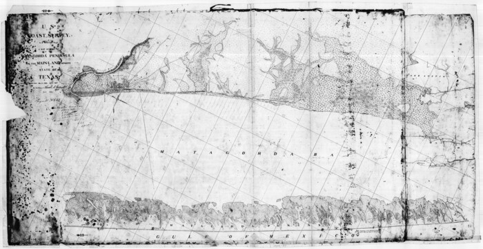
A Map of Part of Matagorda Peninsula and the Main-land Opposite State of Texas
1855

A Map of Part of Matagorda Peninsula, State of Texas
1856

A New Map, or Chart in Mercators Projection, of the Western or Atlantic Ocean, with part of Europe, Africa and America
1781

Approaches to Galveston Bay
1972
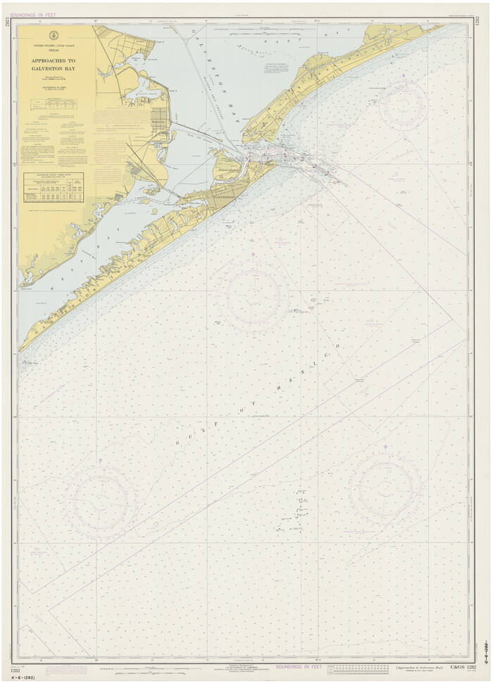
Approaches to Galveston Bay
1973
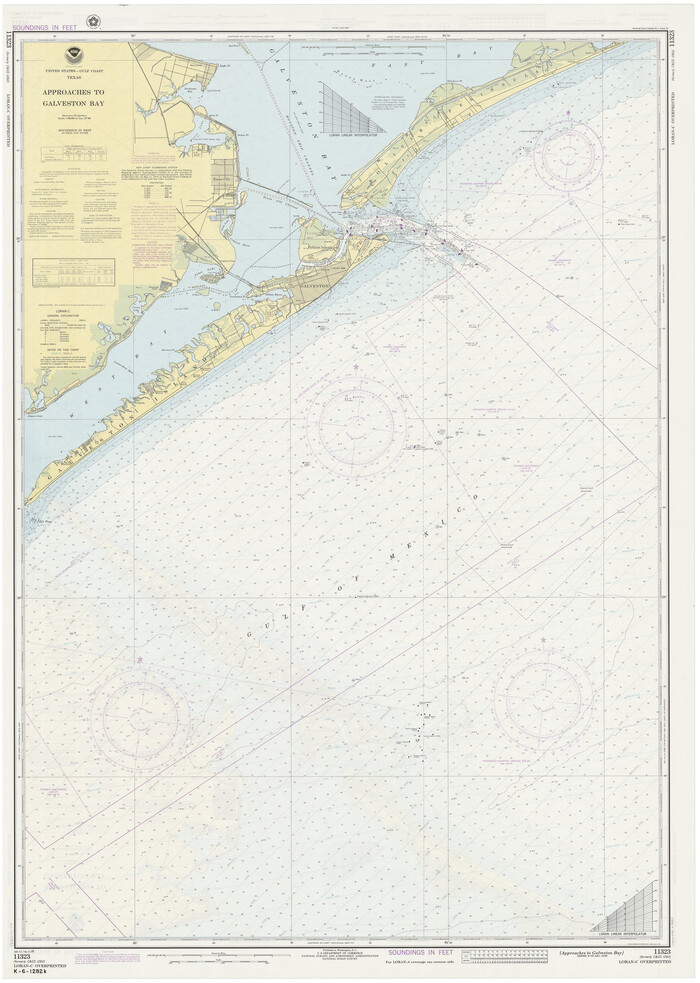
Approaches to Galveston Bay
1976

Approaches to Galveston Bay
1982

Approaches to Galveston Bay
1986
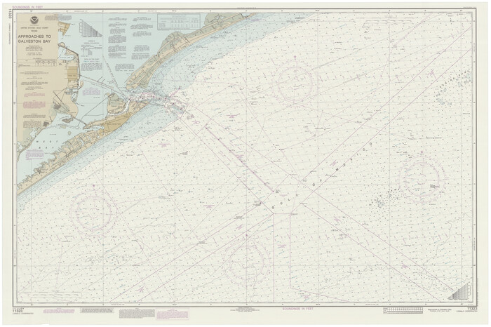
Approaches to Galveston Bay
1989
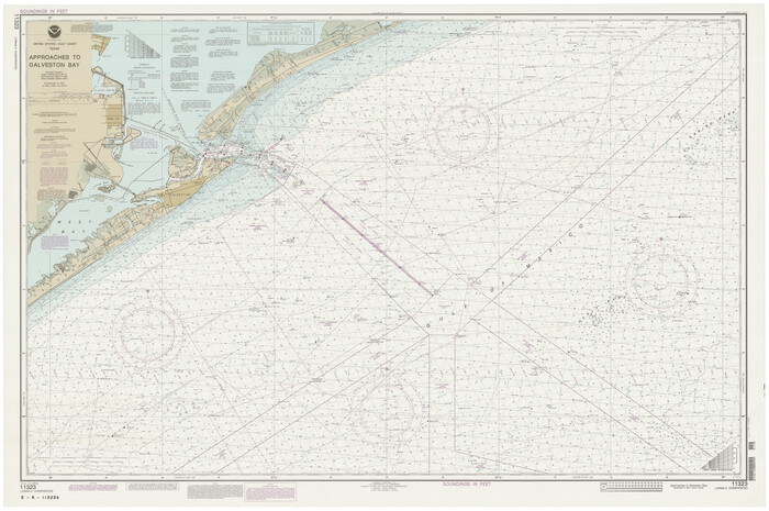
Approaches to Galveston Bay
1992

Aransas Pass to Baffin Bay
1922

Aransas Pass to Baffin Bay
1922

Aransas Pass to Baffin Bay
1937
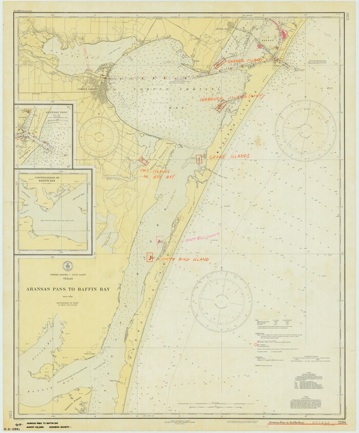
Aransas Pass to Baffin Bay
1938

Aransas Pass to Baffin Bay
1946
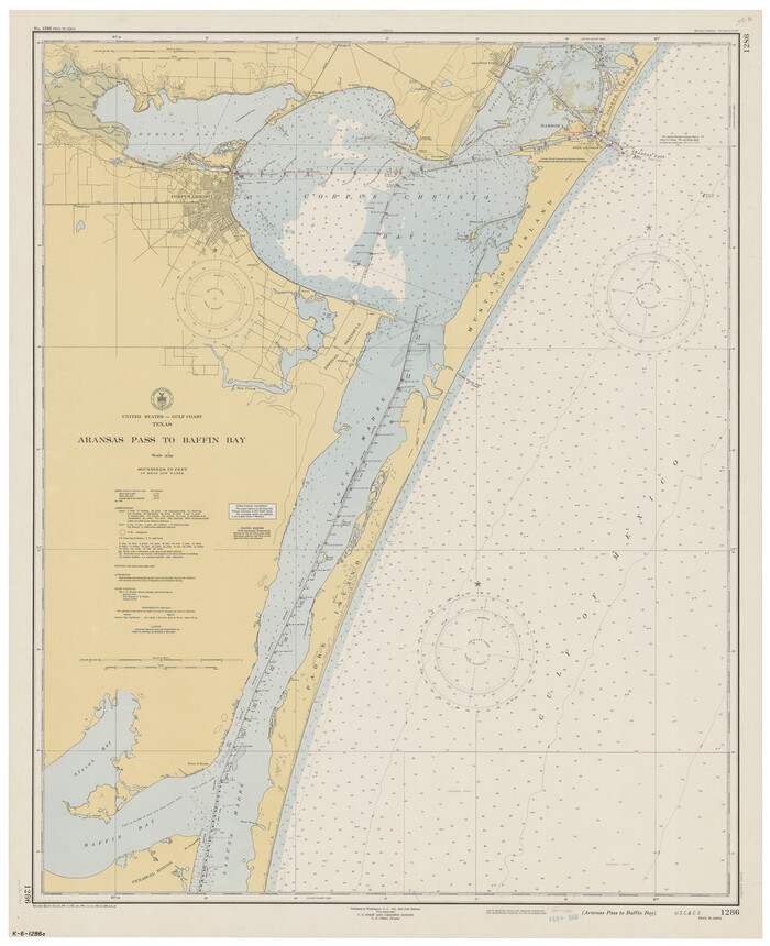
Aransas Pass to Baffin Bay
1949

Aransas Pass to Baffin Bay
1961

Aransas Pass to Baffin Bay
1966

Aransas Pass to Baffin Bay
1966

Aransas Pass to Baffin Bay
1971

Aransas Pass to Baffin Bay
1973

Aransas Pass to Baffin Bay
1976

Aransas Pass to Baffin Bay
1981
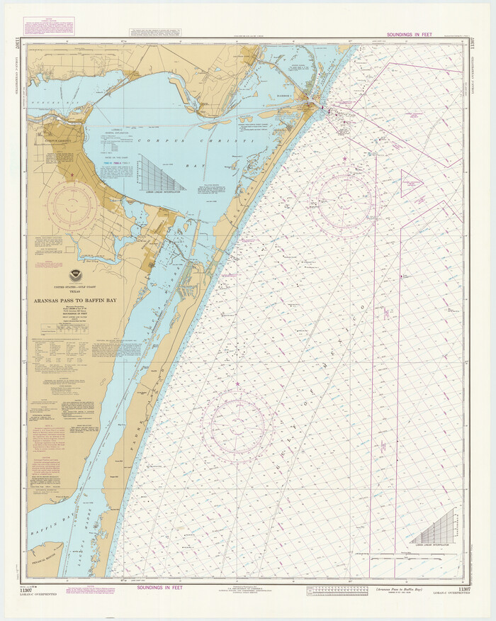
Aransas Pass to Baffin Bay
1986

Aransas Pass to Baffin Bay
1988
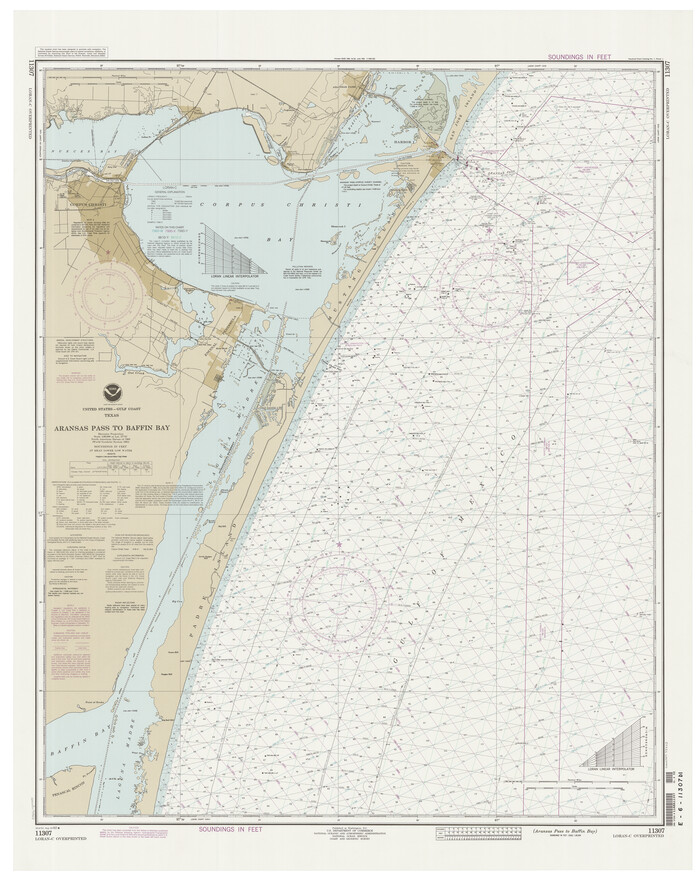
Aransas Pass to Baffin Bay
1992
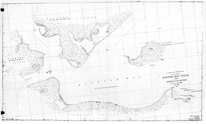
Baffin Bay, Texas from Penescal Triangulation Station to Bovido Triangulation Station
1881

Bahia de S. Bernardo
1809

Brazos Island Harbor, Texas - Dredging Entrance Channel Plan
1990

2nd Chain to Long Reef, Texas
1860
-
Size
30.9 x 52.6 inches
-
Map/Doc
69984
-
Creation Date
1860

A Map of Part of Matagorda Peninsula and the Main-land Opposite State of Texas
1855
-
Size
32.4 x 62.7 inches
-
Map/Doc
69979
-
Creation Date
1855

A Map of Part of Matagorda Peninsula, State of Texas
1856
-
Size
34.4 x 54.2 inches
-
Map/Doc
69980
-
Creation Date
1856

A New Map, or Chart in Mercators Projection, of the Western or Atlantic Ocean, with part of Europe, Africa and America
1781
-
Size
17.3 x 21.7 inches
-
Map/Doc
95368
-
Creation Date
1781

Approaches to Galveston Bay
1972
-
Size
50.2 x 36.0 inches
-
Map/Doc
69881
-
Creation Date
1972

Approaches to Galveston Bay
1973
-
Size
49.8 x 35.6 inches
-
Map/Doc
69882
-
Creation Date
1973

Approaches to Galveston Bay
1976
-
Size
50.3 x 35.9 inches
-
Map/Doc
69883
-
Creation Date
1976

Approaches to Galveston Bay
1982
-
Size
53.1 x 36.7 inches
-
Map/Doc
69884
-
Creation Date
1982

Approaches to Galveston Bay
1986
-
Size
36.8 x 54.8 inches
-
Map/Doc
69886
-
Creation Date
1986

Approaches to Galveston Bay
1989
-
Size
37.1 x 55.6 inches
-
Map/Doc
69887
-
Creation Date
1989

Approaches to Galveston Bay
1992
-
Size
36.6 x 55.6 inches
-
Map/Doc
69888
-
Creation Date
1992

Aransas Pass to Baffin Bay
1922
-
Size
18.5 x 27.2 inches
-
Map/Doc
73408
-
Creation Date
1922

Aransas Pass to Baffin Bay
1922
-
Size
18.6 x 27.8 inches
-
Map/Doc
73409
-
Creation Date
1922

Aransas Pass to Baffin Bay
1937
-
Size
41.6 x 34.5 inches
-
Map/Doc
73410
-
Creation Date
1937

Aransas Pass to Baffin Bay
1938
-
Size
41.6 x 34.5 inches
-
Map/Doc
73411
-
Creation Date
1938

Aransas Pass to Baffin Bay
1946
-
Size
42.1 x 34.3 inches
-
Map/Doc
73412
-
Creation Date
1946

Aransas Pass to Baffin Bay
1949
-
Size
42.6 x 34.7 inches
-
Map/Doc
73413
-
Creation Date
1949

Aransas Pass to Baffin Bay
1961
-
Size
42.1 x 35.4 inches
-
Map/Doc
73414
-
Creation Date
1961

Aransas Pass to Baffin Bay
1966
-
Size
42.3 x 35.0 inches
-
Map/Doc
73415
-
Creation Date
1966

Aransas Pass to Baffin Bay
1966
-
Size
42.3 x 34.9 inches
-
Map/Doc
73416
-
Creation Date
1966

Aransas Pass to Baffin Bay
1971
-
Size
42.3 x 35.2 inches
-
Map/Doc
73417
-
Creation Date
1971

Aransas Pass to Baffin Bay
1973
-
Size
42.0 x 35.1 inches
-
Map/Doc
73418
-
Creation Date
1973

Aransas Pass to Baffin Bay
1976
-
Size
41.9 x 35.3 inches
-
Map/Doc
73419
-
Creation Date
1976

Aransas Pass to Baffin Bay
1981
-
Size
43.0 x 35.0 inches
-
Map/Doc
73420
-
Creation Date
1981

Aransas Pass to Baffin Bay
1986
-
Size
44.7 x 35.7 inches
-
Map/Doc
73421
-
Creation Date
1986

Aransas Pass to Baffin Bay
1988
-
Size
48.7 x 36.0 inches
-
Map/Doc
73422
-
Creation Date
1988

Aransas Pass to Baffin Bay
1992
-
Size
45.0 x 36.0 inches
-
Map/Doc
73423
-
Creation Date
1992

Baffin Bay, Texas from Penescal Triangulation Station to Bovido Triangulation Station
1881
-
Size
32.6 x 54.2 inches
-
Map/Doc
73484
-
Creation Date
1881

Bahia de S. Bernardo
1809
-
Size
17.0 x 25.2 inches
-
Map/Doc
95142
-
Creation Date
1809

Brazos Island Harbor, Texas - Dredging Entrance Channel Plan
1990
-
Size
14.6 x 20.0 inches
-
Map/Doc
83337
-
Creation Date
1990