33 results

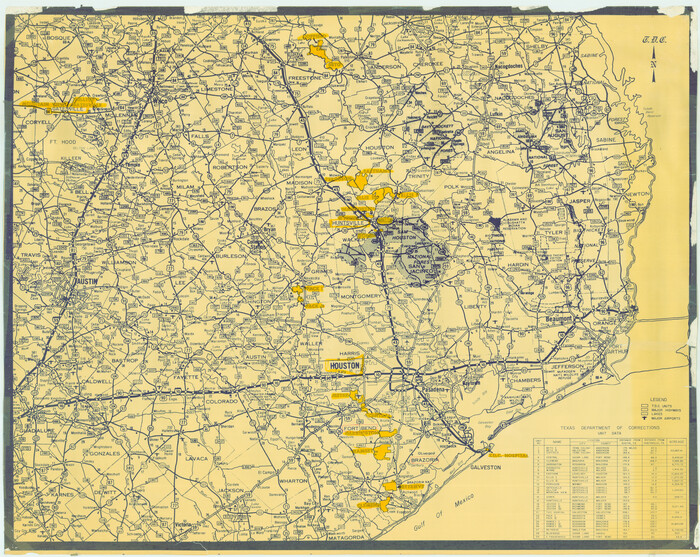
[Texas Department of Corrections Prison Farm Locations]
78638.tif
Print $40.00 - Digital $50.00

[Texas Department of Corrections Prison Farm Locations]

Size: 43.0 x 54.0 inches
78638
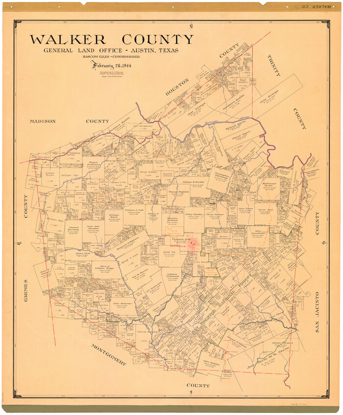
Walker County
73314.tif
Print $20.00 - Digital $50.00

Walker County

1944

Size: 45.7 x 38.4 inches
73314
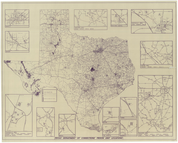
Texas Department of Corrections Prison Unit Locations
3104.tif
Print $20.00 - Digital $50.00

Texas Department of Corrections Prison Unit Locations

1960
Size: 37.0 x 45.7 inches
3104
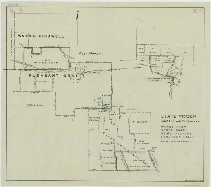
State Prison Lands in Walker County - Wynne Farm, Goree Farm, Dairy Pasture, Cemetery Tract
62994.tif
Print $20.00 - Digital $50.00

State Prison Lands in Walker County - Wynne Farm, Goree Farm, Dairy Pasture, Cemetery Tract

Size: 16.9 x 19.1 inches
62994
State Prison Lands Transferred to A&M College, Forest Division, Cherokee County
65086.tif
Print $4.00 - Digital $50.00

State Prison Lands Transferred to A&M College, Forest Division, Cherokee County

1932
Size: 11.1 x 20.1 inches
65086
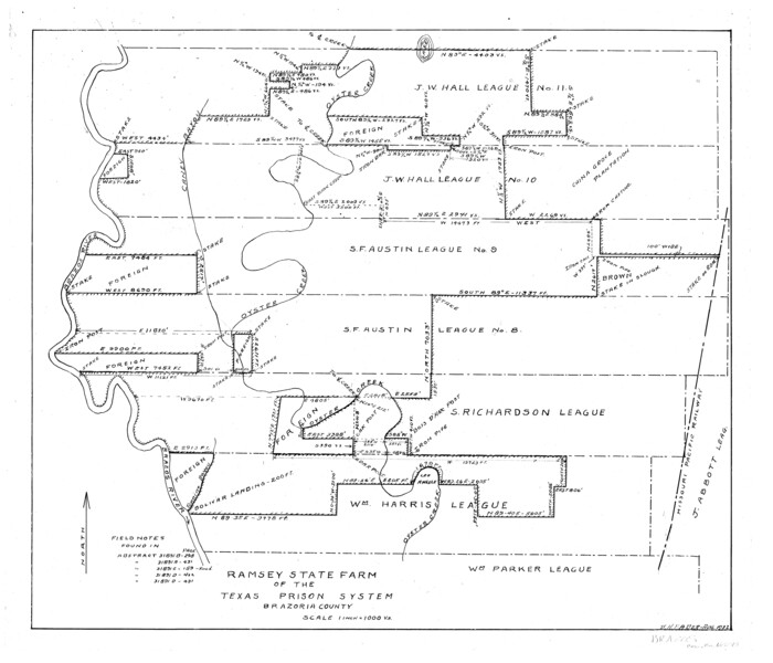
Ramsey State Farm of the Texas Prison System, Brazoria County
65273.tif
Print $4.00 - Digital $50.00

Ramsey State Farm of the Texas Prison System, Brazoria County

1932

Size: 15.9 x 18.6 inches
65273
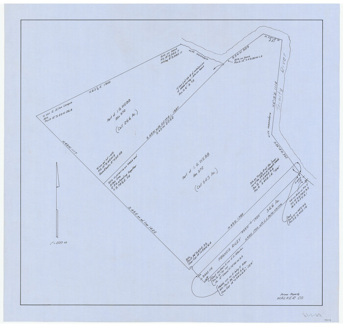
Prison Property, Walker County
94279.tif
Print $20.00 - Digital $50.00

Prison Property, Walker County

Size: 32.6 x 22.7 inches
94279
Prison Property, Walker County
94280.tif
Print $20.00 - Digital $50.00

Prison Property, Walker County

Size: 16.3 x 15.9 inches
94280
Prison Property, Walker Co.
94278.tif
Print $20.00 - Digital $50.00

Prison Property, Walker Co.

Size: 19.3 x 20.2 inches
94278
Prison Property, Walker Co.
94283.tif
Print $20.00 - Digital $50.00

Prison Property, Walker Co.

Size: 34.2 x 24.7 inches
94283
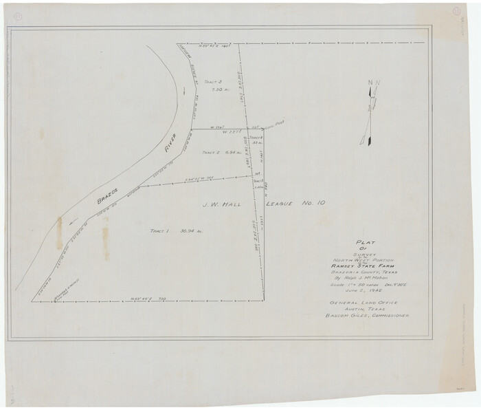
Plat of survey in the North West portion of the Ramsey State Farm
94282.tif
Print $20.00 - Digital $50.00

Plat of survey in the North West portion of the Ramsey State Farm

1942
Size: 25.9 x 30.4 inches
94282
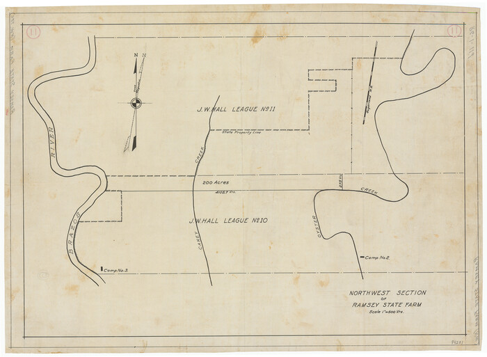
Northwest Section of Ramsey State Farm
94281.tif
Print $20.00 - Digital $50.00

Northwest Section of Ramsey State Farm

Size: 12.6 x 17.2 inches
94281
Maps & Lists Showing Prison Lands (Oil & Gas) Leased as of June 1955
62868.tif
Digital $50.00

Maps & Lists Showing Prison Lands (Oil & Gas) Leased as of June 1955

Size: 11.4 x 7.3 inches
62868
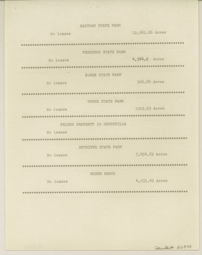
Maps & Lists Showing Prison Lands (Oil & Gas) Leased as of June 1955
62875.tif
Digital $50.00

Maps & Lists Showing Prison Lands (Oil & Gas) Leased as of June 1955

Size: 11.2 x 8.9 inches
62875
Map showing location of Texas Prison Farms surveyed for the Texas Prison System
94277.tif
Print $20.00 - Digital $50.00

Map showing location of Texas Prison Farms surveyed for the Texas Prison System

1934

Size: 15.6 x 12.3 inches
94277
Map of Ramsey State Farm
94284.tif
Print $20.00 - Digital $50.00

Map of Ramsey State Farm

1934

Size: 30.3 x 38.0 inches
94284
Map of Prison Properties in Vicinity of Huntsville, Walker County, Texas
62992.tif
Print $20.00 - Digital $50.00

Map of Prison Properties in Vicinity of Huntsville, Walker County, Texas

1933
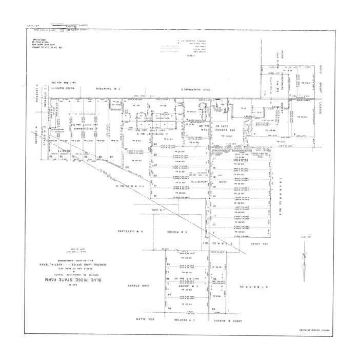
Size: 36.6 x 43.0 inches
62992
Harris County Rolled Sketch 80
6116.tif
Print $20.00 - Digital $50.00

Harris County Rolled Sketch 80

1958

Size: 31.1 x 31.0 inches
6116
Fort Bend County Rolled Sketch T
5908.tif
Print $20.00 - Digital $50.00

Fort Bend County Rolled Sketch T

1930
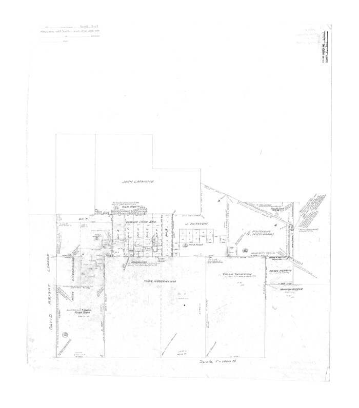
Size: 28.7 x 25.8 inches
5908
Fort Bend County Rolled Sketch 6
5896.tif
Print $20.00 - Digital $50.00

Fort Bend County Rolled Sketch 6

1956

Size: 39.6 x 34.8 inches
5896
Fort Bend County Rolled Sketch 5
5895.tif
Print $20.00 - Digital $50.00

Fort Bend County Rolled Sketch 5

1956
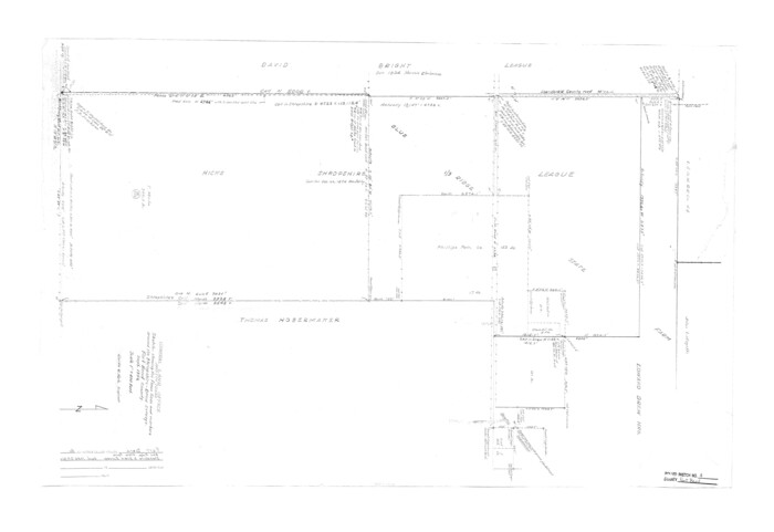
Size: 34.6 x 33.5 inches
5895
Fort Bend County Rolled Sketch 4
5894.tif
Print $20.00 - Digital $50.00

Fort Bend County Rolled Sketch 4

1956

Size: 30.1 x 43.8 inches
5894
Fort Bend County Rolled Sketch 3
5893.tif
Print $20.00 - Digital $50.00

Fort Bend County Rolled Sketch 3

1958
Size: 31.4 x 31.5 inches
5893
Fort Bend County Rolled Sketch 10
44707, Fort Bend County Rolled Sketch 10, General Map Collection
Print $99.00 - Digital $50.00

Fort Bend County Rolled Sketch 10

1958

Size: 9.9 x 15.9 inches
44707
Current Miscellaneous File 63
74100, Current Miscellaneous File 63, General Map Collection
Print $6.00 - Digital $50.00

Current Miscellaneous File 63

1957

Size: 14.1 x 8.8 inches
74100
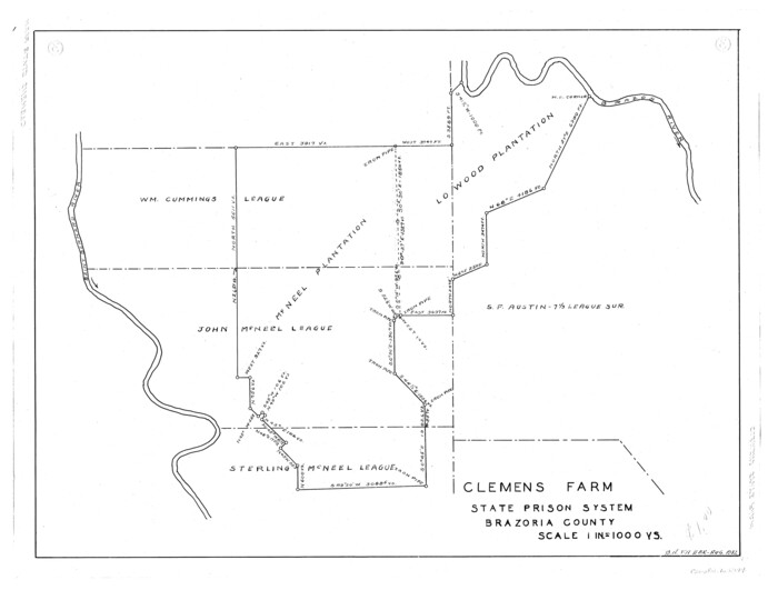
Clemens Farm, State Prison System, Brazoria County
65274.tif
Print $4.00 - Digital $50.00

Clemens Farm, State Prison System, Brazoria County

1932
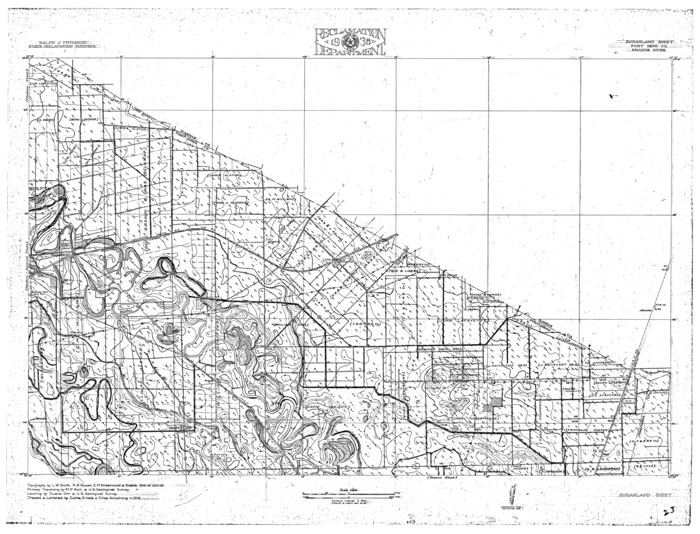
Size: 14.2 x 18.7 inches
65274
Brazos River, Sugarland Sheet
65288.tif
Print $20.00 - Digital $50.00

Brazos River, Sugarland Sheet

1938

Size: 31.0 x 40.6 inches
65288
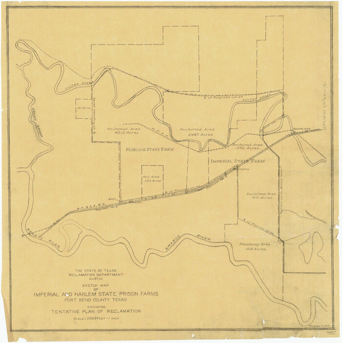
Brazos River, Sketch Map of Imperial and Harlem State Prison Farms, Fort Bend County Texas Showing Tentative Plan of Reclamation
69681.tif
Print $20.00 - Digital $50.00

Brazos River, Sketch Map of Imperial and Harlem State Prison Farms, Fort Bend County Texas Showing Tentative Plan of Reclamation

1929
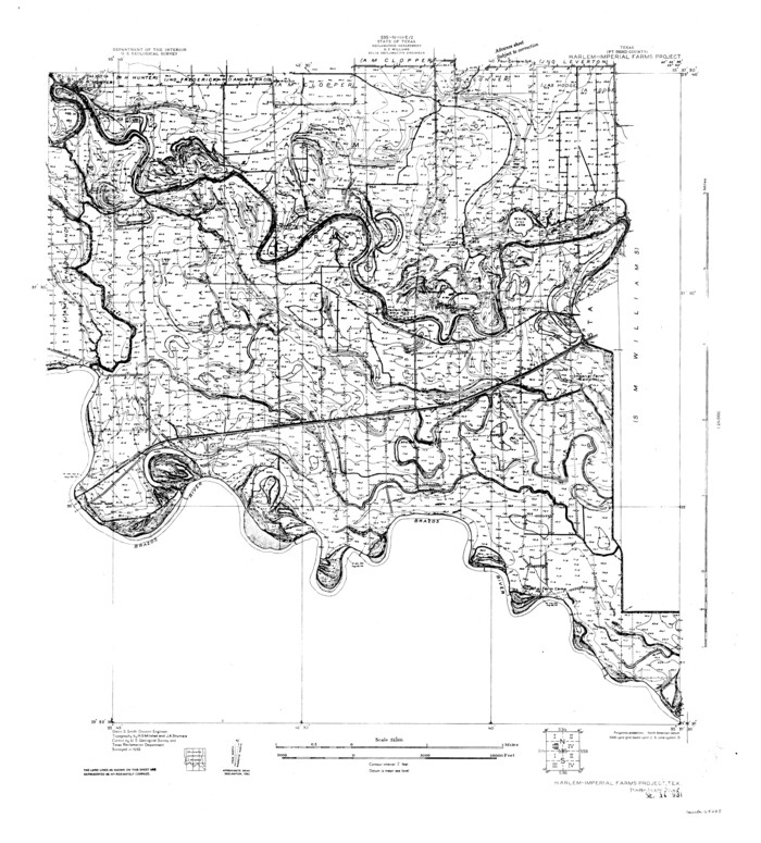
Size: 25.6 x 25.6 inches
69681
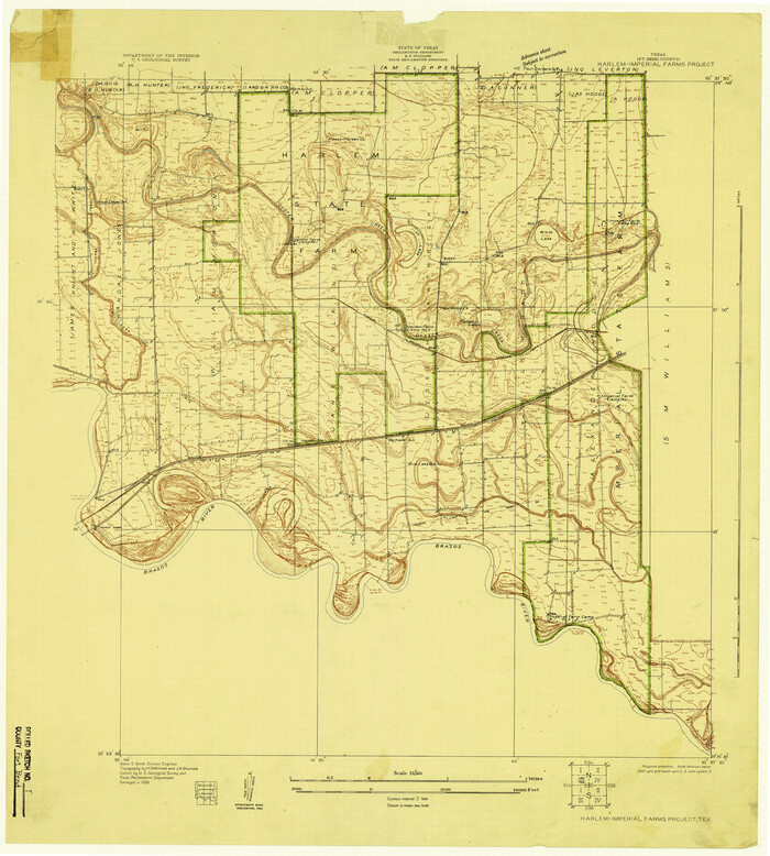
Brazos River, Harlem-Imperial Farms Project
65285.tif
Print $4.00 - Digital $50.00

Brazos River, Harlem-Imperial Farms Project

1931
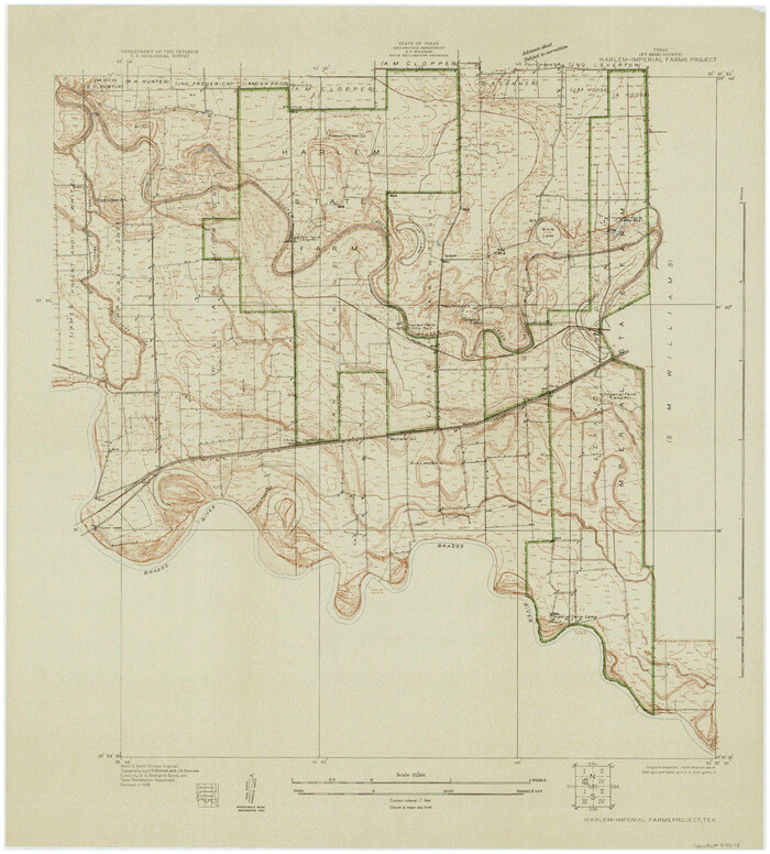
Size: 29.4 x 26.6 inches
65285
Brazos River, Harlem-Imperial Farms Project
69678-1.tif
Print $20.00 - Digital $50.00

Brazos River, Harlem-Imperial Farms Project

1930

Size: 28.3 x 25.5 inches
69678
[Texas Department of Corrections Prison Farm Locations]
78638, [Texas Department of Corrections Prison Farm Locations], General Map Collection
Print $40.00 - Digital $50.00

[Texas Department of Corrections Prison Farm Locations]

  • Size

    43.0 x 54.0 inches

  • Map/Doc

    78638

Walker County
73314, Walker County, General Map Collection
Print $20.00 - Digital $50.00

Walker County

1944

  • Size

    45.7 x 38.4 inches

  • Map/Doc

    73314

  • Creation Date

    1944

Texas Department of Corrections Prison Unit Locations
3104, Texas Department of Corrections Prison Unit Locations, General Map Collection
Print $20.00 - Digital $50.00

Texas Department of Corrections Prison Unit Locations

1960

  • Size

    37.0 x 45.7 inches

  • Map/Doc

    3104

  • Creation Date

    1960

State Prison Lands in Walker County - Wynne Farm, Goree Farm, Dairy Pasture, Cemetery Tract
62994, State Prison Lands in Walker County - Wynne Farm, Goree Farm, Dairy Pasture, Cemetery Tract, General Map Collection
Print $20.00 - Digital $50.00

State Prison Lands in Walker County - Wynne Farm, Goree Farm, Dairy Pasture, Cemetery Tract

  • Size

    16.9 x 19.1 inches

  • Map/Doc

    62994

State Prison Lands Transferred to A&M College, Forest Division, Cherokee County
65086, State Prison Lands Transferred to A&M College, Forest Division, Cherokee County, General Map Collection
Print $4.00 - Digital $50.00

State Prison Lands Transferred to A&M College, Forest Division, Cherokee County

1932

  • Size

    11.1 x 20.1 inches

  • Map/Doc

    65086

  • Creation Date

    1932

Ramsey State Farm of the Texas Prison System, Brazoria County
65273, Ramsey State Farm of the Texas Prison System, Brazoria County, General Map Collection
Print $4.00 - Digital $50.00

Ramsey State Farm of the Texas Prison System, Brazoria County

1932

  • Size

    15.9 x 18.6 inches

  • Map/Doc

    65273

  • Creation Date

    1932

Prison Property, Walker County
94279, Prison Property, Walker County, General Map Collection
Print $20.00 - Digital $50.00

Prison Property, Walker County

  • Size

    32.6 x 22.7 inches

  • Map/Doc

    94279

Prison Property, Walker County
94280, Prison Property, Walker County, General Map Collection
Print $20.00 - Digital $50.00

Prison Property, Walker County

  • Size

    16.3 x 15.9 inches

  • Map/Doc

    94280

Prison Property, Walker Co.
94278, Prison Property, Walker Co., General Map Collection
Print $20.00 - Digital $50.00

Prison Property, Walker Co.

  • Size

    19.3 x 20.2 inches

  • Map/Doc

    94278

Prison Property, Walker Co.
94283, Prison Property, Walker Co., General Map Collection
Print $20.00 - Digital $50.00

Prison Property, Walker Co.

  • Size

    34.2 x 24.7 inches

  • Map/Doc

    94283

Plat of survey in the North West portion of the Ramsey State Farm
94282, Plat of survey in the North West portion of the Ramsey State Farm, General Map Collection
Print $20.00 - Digital $50.00

Plat of survey in the North West portion of the Ramsey State Farm

1942

  • Size

    25.9 x 30.4 inches

  • Map/Doc

    94282

  • Creation Date

    1942

Northwest Section of Ramsey State Farm
94281, Northwest Section of Ramsey State Farm, General Map Collection
Print $20.00 - Digital $50.00

Northwest Section of Ramsey State Farm

  • Size

    12.6 x 17.2 inches

  • Map/Doc

    94281

Maps & Lists Showing Prison Lands (Oil & Gas) Leased as of June 1955
62868, Maps & Lists Showing Prison Lands (Oil & Gas) Leased as of June 1955, General Map Collection
Digital $50.00

Maps & Lists Showing Prison Lands (Oil & Gas) Leased as of June 1955

  • Size

    11.4 x 7.3 inches

  • Map/Doc

    62868

Maps & Lists Showing Prison Lands (Oil & Gas) Leased as of June 1955
62875, Maps & Lists Showing Prison Lands (Oil & Gas) Leased as of June 1955, General Map Collection
Digital $50.00

Maps & Lists Showing Prison Lands (Oil & Gas) Leased as of June 1955

  • Size

    11.2 x 8.9 inches

  • Map/Doc

    62875

Map showing location of Texas Prison Farms surveyed for the Texas Prison System
94277, Map showing location of Texas Prison Farms surveyed for the Texas Prison System, General Map Collection
Print $20.00 - Digital $50.00

Map showing location of Texas Prison Farms surveyed for the Texas Prison System

1934

  • Size

    15.6 x 12.3 inches

  • Map/Doc

    94277

  • Creation Date

    1934

Map of Ramsey State Farm
94284, Map of Ramsey State Farm, General Map Collection
Print $20.00 - Digital $50.00

Map of Ramsey State Farm

1934

  • Size

    30.3 x 38.0 inches

  • Map/Doc

    94284

  • Creation Date

    1934

Map of Prison Properties in Vicinity of Huntsville, Walker County, Texas
62992, Map of Prison Properties in Vicinity of Huntsville, Walker County, Texas, General Map Collection
Print $20.00 - Digital $50.00

Map of Prison Properties in Vicinity of Huntsville, Walker County, Texas

1933

  • Size

    36.6 x 43.0 inches

  • Map/Doc

    62992

  • Creation Date

    1933

Harris County Rolled Sketch 80
6116, Harris County Rolled Sketch 80, General Map Collection
Print $20.00 - Digital $50.00

Harris County Rolled Sketch 80

1958

  • Size

    31.1 x 31.0 inches

  • Map/Doc

    6116

  • Creation Date

    1958

Fort Bend County Rolled Sketch T
5908, Fort Bend County Rolled Sketch T, General Map Collection
Print $20.00 - Digital $50.00

Fort Bend County Rolled Sketch T

1930

  • Size

    28.7 x 25.8 inches

  • Map/Doc

    5908

  • Creation Date

    1930

Fort Bend County Rolled Sketch 6
5896, Fort Bend County Rolled Sketch 6, General Map Collection
Print $20.00 - Digital $50.00

Fort Bend County Rolled Sketch 6

1956

  • Size

    39.6 x 34.8 inches

  • Map/Doc

    5896

  • Creation Date

    1956

Fort Bend County Rolled Sketch 5
5895, Fort Bend County Rolled Sketch 5, General Map Collection
Print $20.00 - Digital $50.00

Fort Bend County Rolled Sketch 5

1956

  • Size

    34.6 x 33.5 inches

  • Map/Doc

    5895

  • Creation Date

    1956

Fort Bend County Rolled Sketch 4
5894, Fort Bend County Rolled Sketch 4, General Map Collection
Print $20.00 - Digital $50.00

Fort Bend County Rolled Sketch 4

1956

  • Size

    30.1 x 43.8 inches

  • Map/Doc

    5894

  • Creation Date

    1956

Fort Bend County Rolled Sketch 3
5893, Fort Bend County Rolled Sketch 3, General Map Collection
Print $20.00 - Digital $50.00

Fort Bend County Rolled Sketch 3

1958

  • Size

    31.4 x 31.5 inches

  • Map/Doc

    5893

  • Creation Date

    1958

Fort Bend County Rolled Sketch 10
44707, Fort Bend County Rolled Sketch 10, General Map Collection
Print $99.00 - Digital $50.00

Fort Bend County Rolled Sketch 10

1958

  • Size

    9.9 x 15.9 inches

  • Map/Doc

    44707

  • Creation Date

    1958

Current Miscellaneous File 63
74100, Current Miscellaneous File 63, General Map Collection
Print $6.00 - Digital $50.00

Current Miscellaneous File 63

1957

  • Size

    14.1 x 8.8 inches

  • Map/Doc

    74100

  • Creation Date

    1957

Clemens Farm, State Prison System, Brazoria County
65274, Clemens Farm, State Prison System, Brazoria County, General Map Collection
Print $4.00 - Digital $50.00

Clemens Farm, State Prison System, Brazoria County

1932

  • Size

    14.2 x 18.7 inches

  • Map/Doc

    65274

  • Creation Date

    1932

Brazos River, Sugarland Sheet
65288, Brazos River, Sugarland Sheet, General Map Collection
Print $20.00 - Digital $50.00

Brazos River, Sugarland Sheet

1938

  • Size

    31.0 x 40.6 inches

  • Map/Doc

    65288

  • Creation Date

    1938

Brazos River, Sketch Map of Imperial and Harlem State Prison Farms, Fort Bend County Texas Showing Tentative Plan of Reclamation
69681, Brazos River, Sketch Map of Imperial and Harlem State Prison Farms, Fort Bend County Texas Showing Tentative Plan of Reclamation, General Map Collection
Print $20.00 - Digital $50.00

Brazos River, Sketch Map of Imperial and Harlem State Prison Farms, Fort Bend County Texas Showing Tentative Plan of Reclamation

1929

  • Size

    25.6 x 25.6 inches

  • Map/Doc

    69681

  • Creation Date

    1929

Brazos River, Harlem-Imperial Farms Project
65285, Brazos River, Harlem-Imperial Farms Project, General Map Collection
Print $4.00 - Digital $50.00

Brazos River, Harlem-Imperial Farms Project

1931

  • Size

    29.4 x 26.6 inches

  • Map/Doc

    65285

  • Creation Date

    1931

Brazos River, Harlem-Imperial Farms Project
69678, Brazos River, Harlem-Imperial Farms Project, General Map Collection
Print $20.00 - Digital $50.00

Brazos River, Harlem-Imperial Farms Project

1930

  • Size

    28.3 x 25.5 inches

  • Map/Doc

    69678

  • Creation Date

    1930