Political Essay on the Kingdom of New Spain Vol. 2, Third Edition
Containing Researches relative to the Geography of Mexico, The Extent of its Surface and its political Division into Intendancies, The physical Aspect of the Country, The Population, the State of Agriculture and Manufacturing and Commercial Industry; The Canals projected between the South Sea and Atlantic Ocean, The Crown Revenues, The Quantity of the precious Metals which have flowed from Mexico into Europe and Asia, since the Discovery of the New Continent, And the Military Defence of New Spain.
-
Map/Doc
97387
-
Collection
General Map Collection
-
Object Dates
1822 (Creation Date)
-
People and Organizations
Alexander de Humboldt (Author)
John Black (Translator)
-
Subjects
Bound Volume Spanish Texas Mexico
-
Comments
Volume 2 of 4.
See 97386 for Volume 1, 97388 for Volume 3, and 97389 for Volume 4.
Translated from the original French.
Related maps
Political Essay on the Kingdom of New Spain Vol. 1, Third Edition


Political Essay on the Kingdom of New Spain Vol. 1, Third Edition
1822
Map/Doc 97386
Political Essay on the Kingdom of New Spain Vol. 3


Political Essay on the Kingdom of New Spain Vol. 3
1822
Map/Doc 97388
Political Essay on the Kingdom of New Spain Vol. 4


Political Essay on the Kingdom of New Spain Vol. 4
1822
Map/Doc 97389
Part of: General Map Collection
Map of Burleson County


Print $20.00
- Digital $50.00
Map of Burleson County
1856
Size 22.0 x 31.5 inches
Map/Doc 3345
Atascosa County Rolled Sketch 16
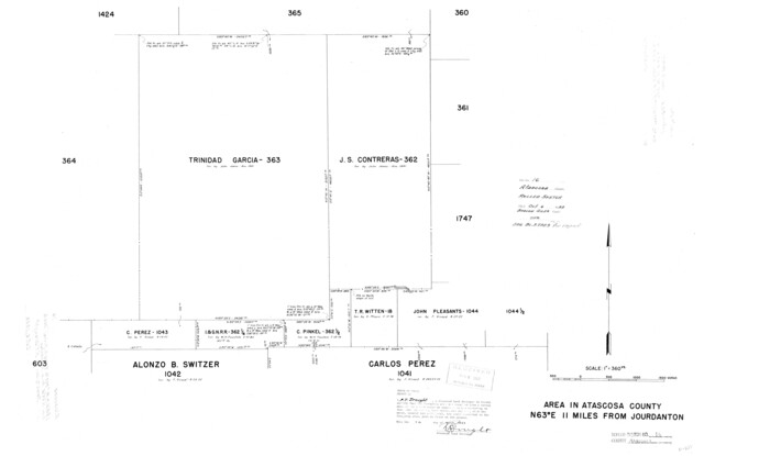

Print $20.00
- Digital $50.00
Atascosa County Rolled Sketch 16
1952
Size 22.7 x 38.3 inches
Map/Doc 5096
Culberson County Working Sketch 79
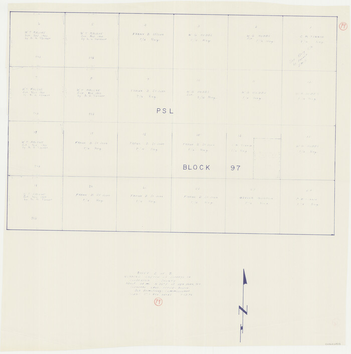

Print $20.00
- Digital $50.00
Culberson County Working Sketch 79
1976
Size 30.9 x 30.6 inches
Map/Doc 68533
Baylor County Sketch File 27


Print $4.00
- Digital $50.00
Baylor County Sketch File 27
1895
Size 11.1 x 8.9 inches
Map/Doc 14226
Harris County Working Sketch 6
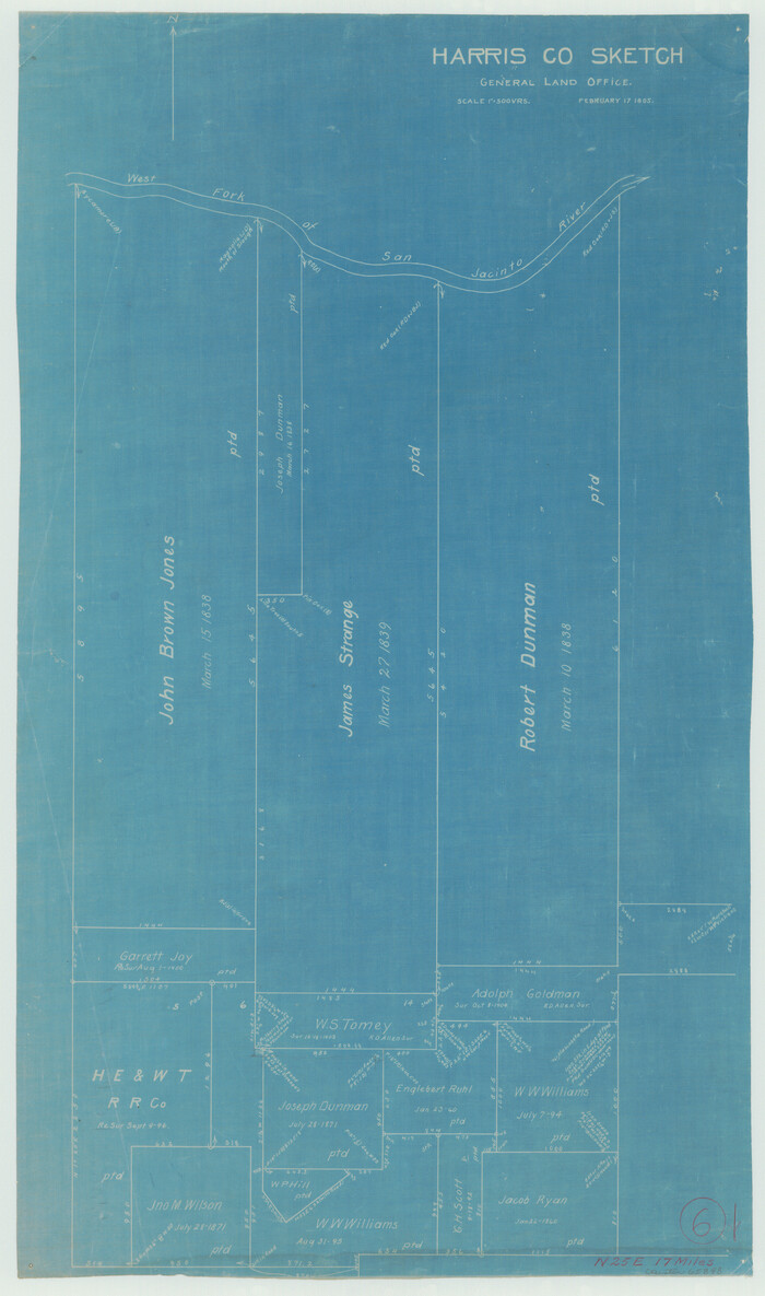

Print $20.00
- Digital $50.00
Harris County Working Sketch 6
1905
Size 20.4 x 12.1 inches
Map/Doc 65898
Flight Mission No. BRA-7M, Frame 123, Jefferson County


Print $20.00
- Digital $50.00
Flight Mission No. BRA-7M, Frame 123, Jefferson County
1953
Size 18.7 x 22.3 inches
Map/Doc 85517
Jeff Davis County Sketch File 23


Print $4.00
- Digital $50.00
Jeff Davis County Sketch File 23
1927
Size 13.3 x 8.8 inches
Map/Doc 27990
Angelina County Working Sketch 28


Print $20.00
- Digital $50.00
Angelina County Working Sketch 28
1954
Size 28.9 x 26.0 inches
Map/Doc 67110
Bosque County Sketch File 31


Print $6.00
- Digital $50.00
Bosque County Sketch File 31
1867
Size 8.5 x 10.5 inches
Map/Doc 14830
Connected Map of DeWitt's Colony compiled from the surveys of Byrd Lockhart


Print $40.00
- Digital $50.00
Connected Map of DeWitt's Colony compiled from the surveys of Byrd Lockhart
1831
Size 39.2 x 54.0 inches
Map/Doc 1942
Hudspeth County Sketch File 51


Print $4.00
- Digital $50.00
Hudspeth County Sketch File 51
1962
Size 14.4 x 9.1 inches
Map/Doc 27074
Frio County Rolled Sketch 17
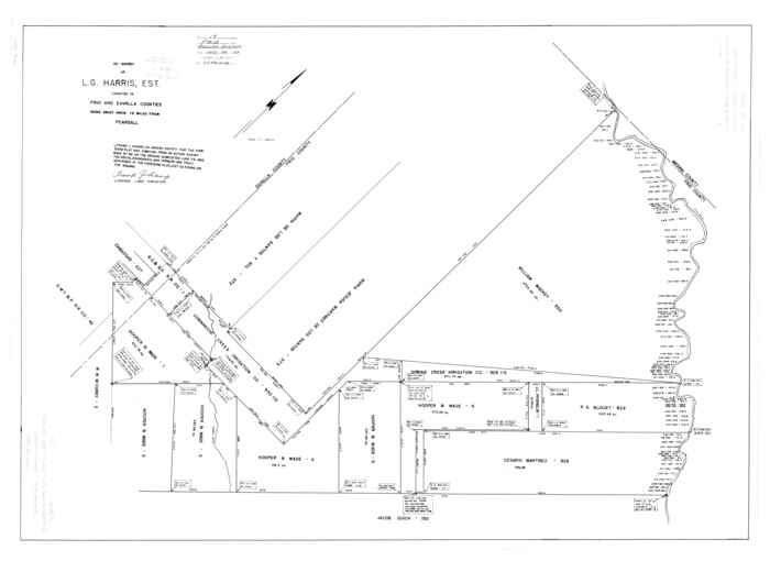

Print $20.00
- Digital $50.00
Frio County Rolled Sketch 17
1953
Size 32.4 x 44.5 inches
Map/Doc 8907
You may also like
Pecos County Rolled Sketch 139
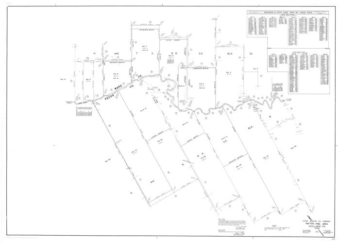

Print $40.00
- Digital $50.00
Pecos County Rolled Sketch 139
1953
Size 41.0 x 57.4 inches
Map/Doc 9732
Fayette County Boundary File 4


Print $19.00
- Digital $50.00
Fayette County Boundary File 4
Size 14.4 x 9.0 inches
Map/Doc 53362
Bosque County Sketch File 31


Print $6.00
- Digital $50.00
Bosque County Sketch File 31
1867
Size 8.5 x 10.5 inches
Map/Doc 14830
Flight Mission No. BRE-3P, Frame 36, Nueces County
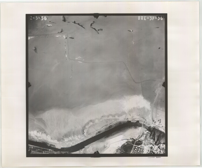

Print $20.00
- Digital $50.00
Flight Mission No. BRE-3P, Frame 36, Nueces County
1956
Size 18.5 x 22.3 inches
Map/Doc 86814
[Survey 9, Block 9 Potter and Randall]
![91721, [Survey 9, Block 9 Potter and Randall], Twichell Survey Records](https://historictexasmaps.com/wmedia_w700/maps/91721-1.tif.jpg)
![91721, [Survey 9, Block 9 Potter and Randall], Twichell Survey Records](https://historictexasmaps.com/wmedia_w700/maps/91721-1.tif.jpg)
Print $20.00
- Digital $50.00
[Survey 9, Block 9 Potter and Randall]
Size 22.1 x 15.9 inches
Map/Doc 91721
Louisiana and Texas Intracoastal Waterway - Matagorda Bay to San Antonio Bay Dredging - Sheet 1
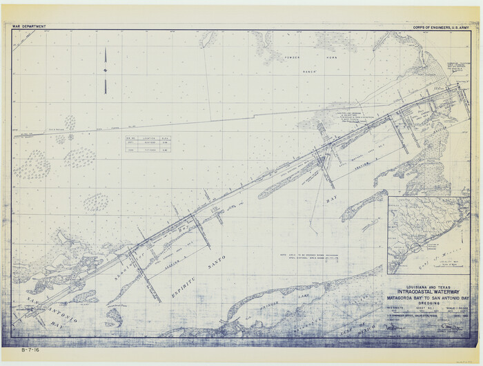

Print $20.00
- Digital $50.00
Louisiana and Texas Intracoastal Waterway - Matagorda Bay to San Antonio Bay Dredging - Sheet 1
1942
Size 31.2 x 41.2 inches
Map/Doc 61823
Jackson County Sketch File 23
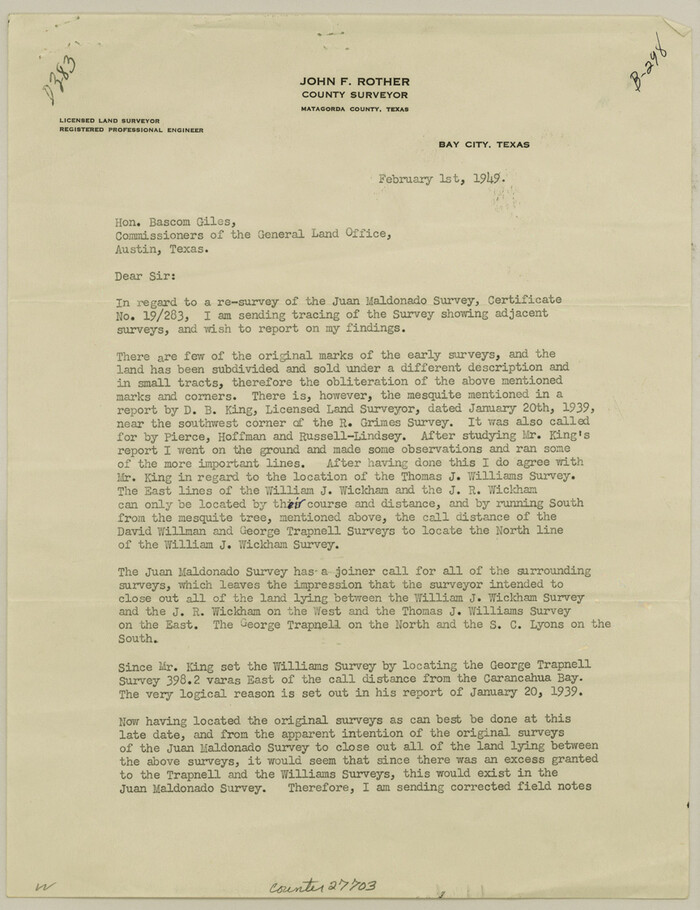

Print $6.00
- Digital $50.00
Jackson County Sketch File 23
1949
Size 11.2 x 8.6 inches
Map/Doc 27703
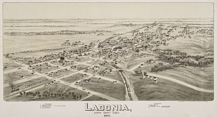
Ladonia, Fannin County, Texas

Print $20.00
Ladonia, Fannin County, Texas
1891
Size 12.0 x 22.1 inches
Map/Doc 89097
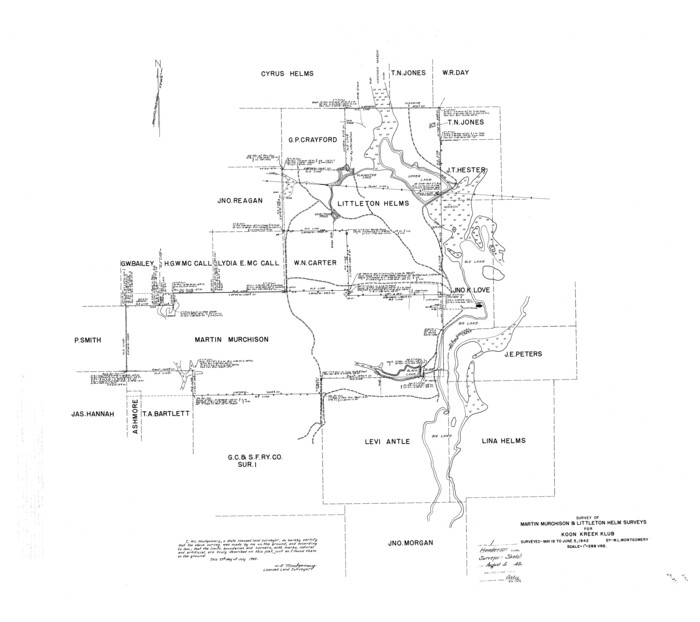
Henderson County Rolled Sketch 1

Print $20.00
- Digital $50.00
Henderson County Rolled Sketch 1
1942
Size 34.0 x 38.3 inches
Map/Doc 9159
Wise County Working Sketch 13


Print $20.00
- Digital $50.00
Wise County Working Sketch 13
Size 27.9 x 34.0 inches
Map/Doc 72627
United States Population Distribution by County and Territory, per the U.S. Census of 1900


United States Population Distribution by County and Territory, per the U.S. Census of 1900
2025
Size 8.5 x 11.0 inches
Map/Doc 97481
Wise County Sketch File 43

Print $4.00
- Digital $50.00
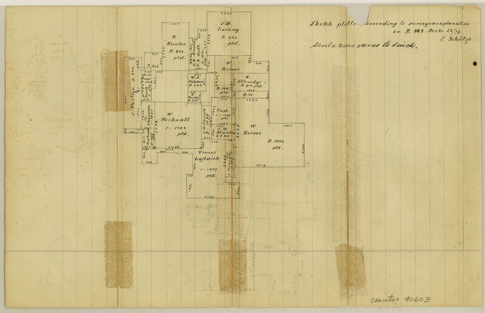
Wise County Sketch File 43
1876
Size 8.3 x 12.8 inches
Map/Doc 40603
