Political Essay on the Kingdom of New Spain Vol. 4
Containing Researches relative to the Geography of Mexico, The Extent of its Surface and its political Division into Intendancies, The physical Aspect of the Country, The Population, the State of Agriculture and Manufacturing and Commercial Industry; The Canals projected between the South Sea and Atlantic Ocean, The Crown Revenues, The Quantity of the precious Metals which have flowed from Mexico into Europe and Asia, since the Discovery of the New Continent, And the Military Defence of New Spain.
-
Map/Doc
97389
-
Collection
General Map Collection
-
Object Dates
1822 (Creation Date)
-
People and Organizations
Alexander de Humboldt (Author)
John Black (Translator)
-
Subjects
Bound Volume Spanish Texas Mexico
-
Comments
Volume 4 of 4.
See 97386 for Volume 1, 97387 for Volume 2, and 97388 for Volume 3.
Translated from the original French.
Related maps
Political Essay on the Kingdom of New Spain Vol. 1, Third Edition


Political Essay on the Kingdom of New Spain Vol. 1, Third Edition
1822
Map/Doc 97386
Political Essay on the Kingdom of New Spain Vol. 2, Third Edition


Political Essay on the Kingdom of New Spain Vol. 2, Third Edition
1822
Map/Doc 97387
Political Essay on the Kingdom of New Spain Vol. 3


Political Essay on the Kingdom of New Spain Vol. 3
1822
Map/Doc 97388
Part of: General Map Collection
Carson County Sketch File 5


Print $28.00
- Digital $50.00
Carson County Sketch File 5
1916
Size 7.5 x 8.7 inches
Map/Doc 17353
King County Boundary File 2

Print $54.00
- Digital $50.00
King County Boundary File 2
Size 8.8 x 7.7 inches
Map/Doc 64887
Childress County Sketch File 18a


Print $4.00
- Digital $50.00
Childress County Sketch File 18a
1935
Size 11.3 x 7.1 inches
Map/Doc 18364
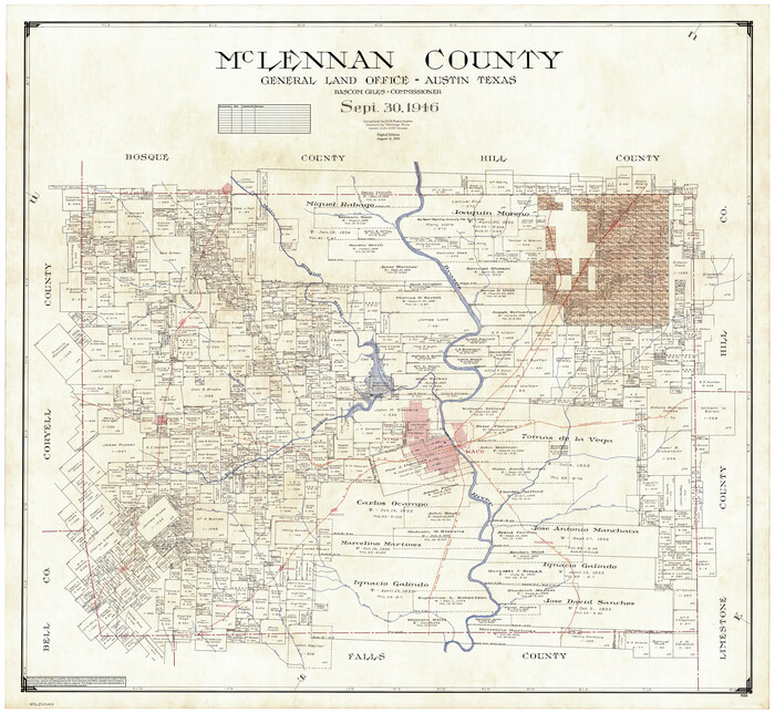
McLennan County

Print $20.00
- Digital $50.00
McLennan County
1946
Size 43.8 x 46.9 inches
Map/Doc 95585
Hardin County Sketch File 71f


Print $20.00
- Digital $50.00
Hardin County Sketch File 71f
1997
Size 25.2 x 36.7 inches
Map/Doc 11643
Kaufman County Sketch File 9
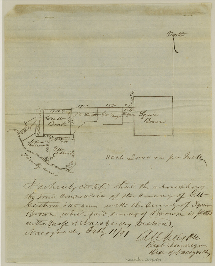

Print $8.00
- Digital $50.00
Kaufman County Sketch File 9
1851
Size 9.7 x 7.9 inches
Map/Doc 28640
Blanco County Working Sketch 38
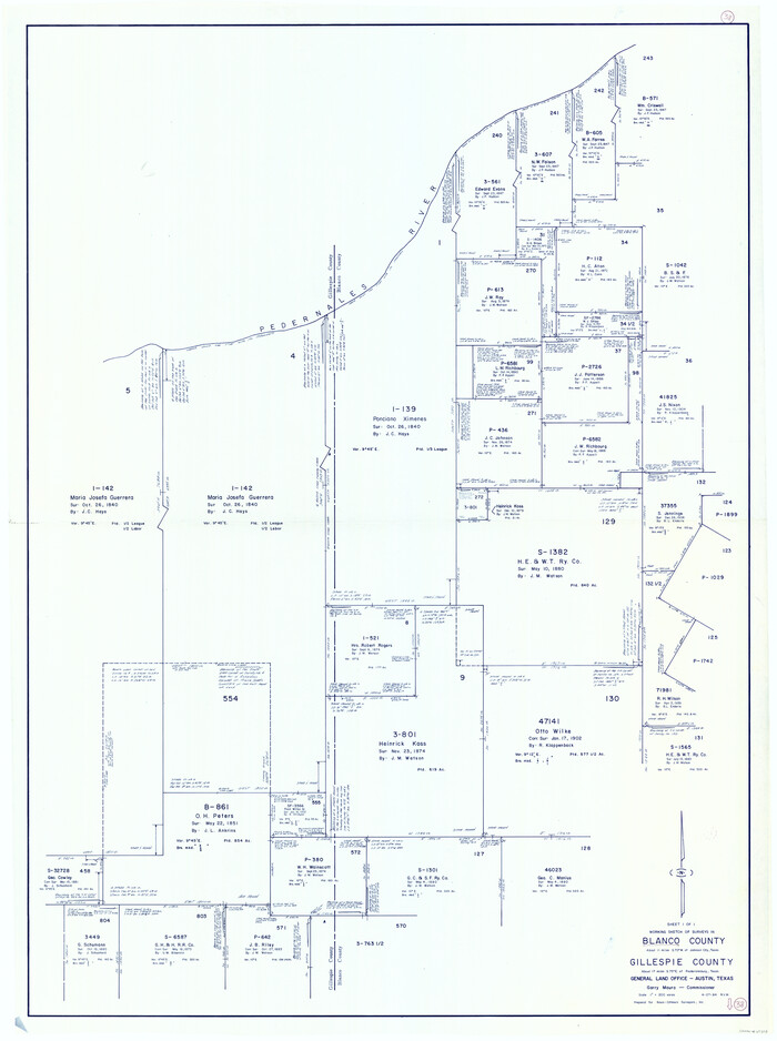

Print $40.00
- Digital $50.00
Blanco County Working Sketch 38
1984
Size 57.8 x 43.1 inches
Map/Doc 67398
Duval County Sketch File 25
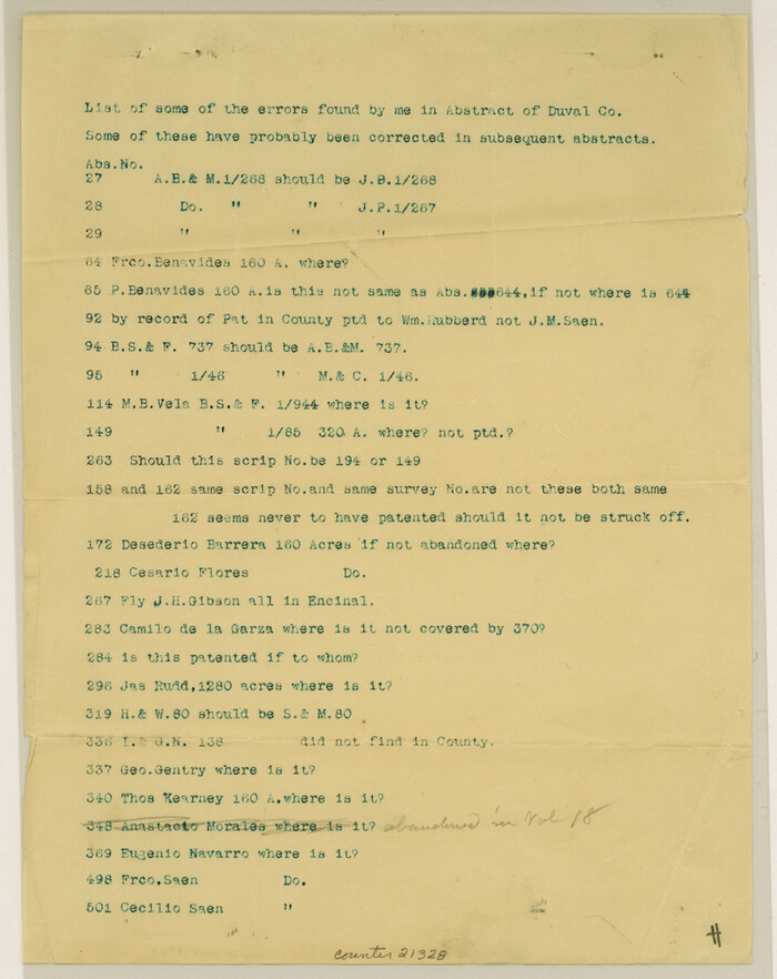

Print $8.00
- Digital $50.00
Duval County Sketch File 25
Size 11.4 x 9.1 inches
Map/Doc 21328
Garza County Sketch File 5


Print $14.00
- Digital $50.00
Garza County Sketch File 5
1885
Size 9.8 x 8.1 inches
Map/Doc 24050
San Augustine County Working Sketch 2


Print $20.00
- Digital $50.00
San Augustine County Working Sketch 2
Size 28.5 x 19.1 inches
Map/Doc 63689
Blanco County Rolled Sketch 14


Print $20.00
- Digital $50.00
Blanco County Rolled Sketch 14
Size 26.0 x 19.7 inches
Map/Doc 5150
You may also like
General Land Office and State Reclamation Department - Topographic Sheets
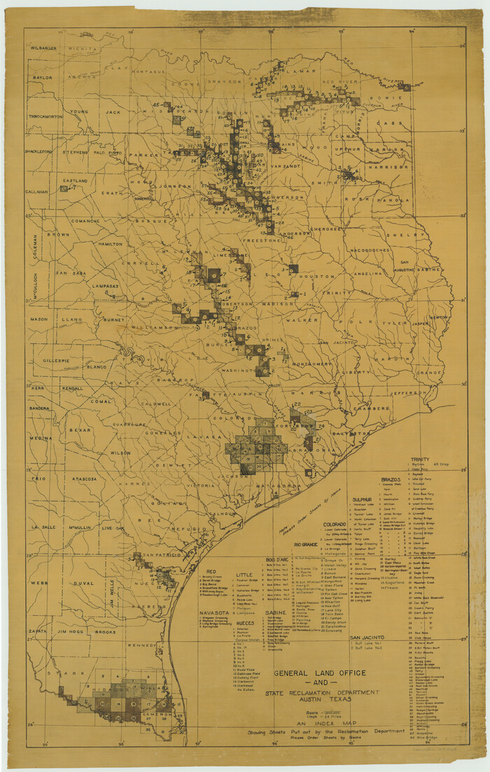

Print $20.00
- Digital $50.00
General Land Office and State Reclamation Department - Topographic Sheets
1930
Size 26.2 x 16.7 inches
Map/Doc 65264
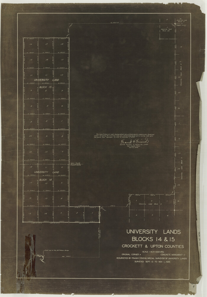
University Lands Blocks 14 & 15, Crockett & Upton Counties

Print $20.00
- Digital $50.00
University Lands Blocks 14 & 15, Crockett & Upton Counties
1936
Size 36.6 x 25.5 inches
Map/Doc 2446
[Northeast 1/4 County]
![90876, [Northeast 1/4 County], Twichell Survey Records](https://historictexasmaps.com/wmedia_w700/maps/90876-2.tif.jpg)
![90876, [Northeast 1/4 County], Twichell Survey Records](https://historictexasmaps.com/wmedia_w700/maps/90876-2.tif.jpg)
Print $20.00
- Digital $50.00
[Northeast 1/4 County]
Size 11.9 x 20.3 inches
Map/Doc 90876
Map of the Territory of the United States from the Mississippi to the Pacific Ocean ordered by the Hon. Jeff'n Davis, Secretary of War to accompany the reports of the explorations for a railroad route


Print $40.00
- Digital $50.00
Map of the Territory of the United States from the Mississippi to the Pacific Ocean ordered by the Hon. Jeff'n Davis, Secretary of War to accompany the reports of the explorations for a railroad route
Size 48.6 x 50.7 inches
Map/Doc 94276
Flight Mission No. CLL-1N, Frame 103, Willacy County


Print $20.00
- Digital $50.00
Flight Mission No. CLL-1N, Frame 103, Willacy County
1954
Size 18.4 x 22.1 inches
Map/Doc 87037
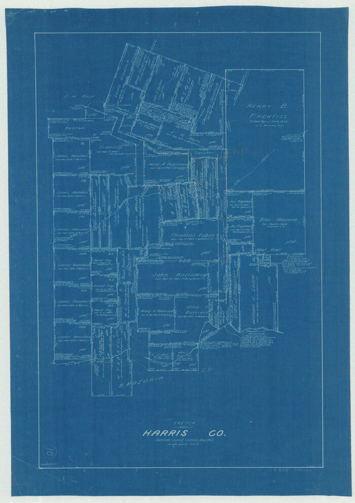
Harris County Working Sketch 10

Print $20.00
- Digital $50.00
Harris County Working Sketch 10
1912
Size 25.7 x 18.1 inches
Map/Doc 65902
Hamilton County Working Sketch 28


Print $6.00
- Digital $50.00
Hamilton County Working Sketch 28
1976
Size 27.7 x 33.2 inches
Map/Doc 63366
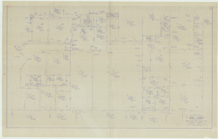
Wise County Working Sketch 24

Print $40.00
- Digital $50.00
Wise County Working Sketch 24
Size 37.1 x 58.2 inches
Map/Doc 72638
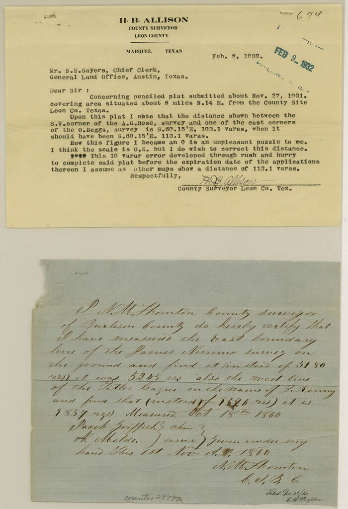
Leon County Sketch File 22

Print $24.00
- Digital $50.00
Leon County Sketch File 22
Size 12.8 x 8.8 inches
Map/Doc 29772
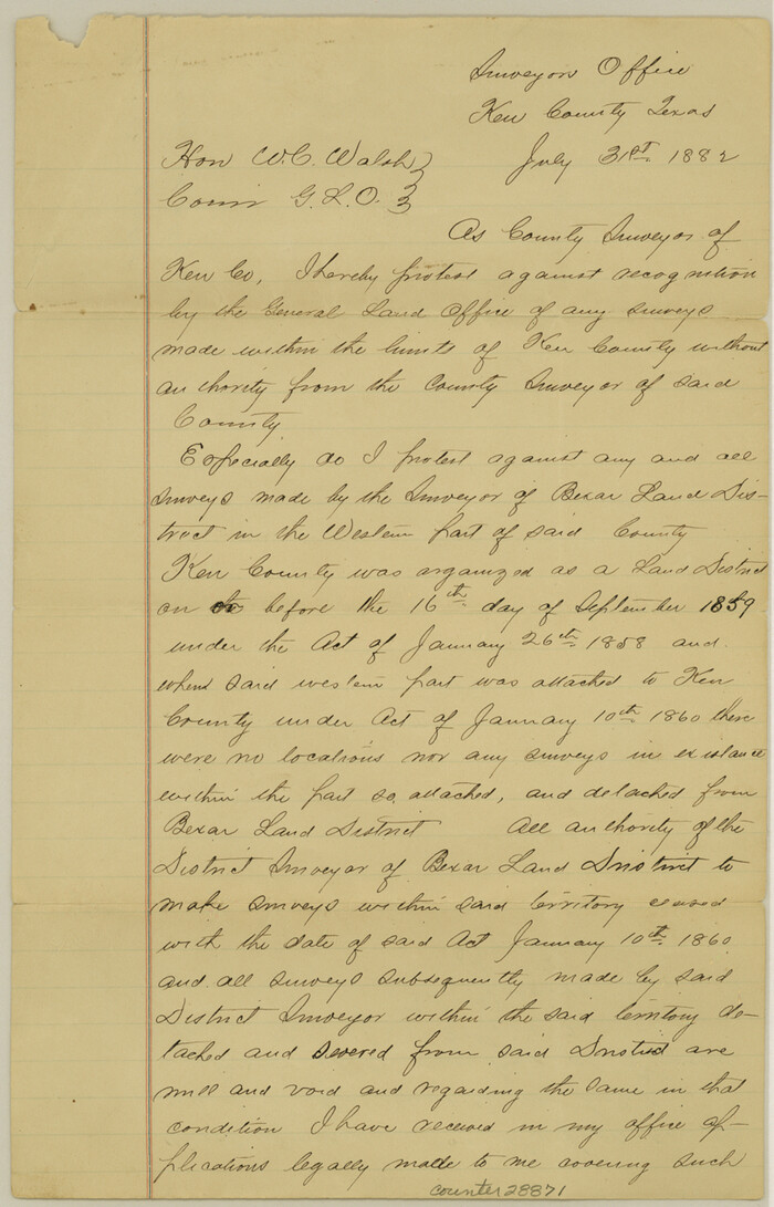
Kerr County Sketch File 8

Print $4.00
- Digital $50.00
Kerr County Sketch File 8
1882
Size 12.6 x 8.1 inches
Map/Doc 28871
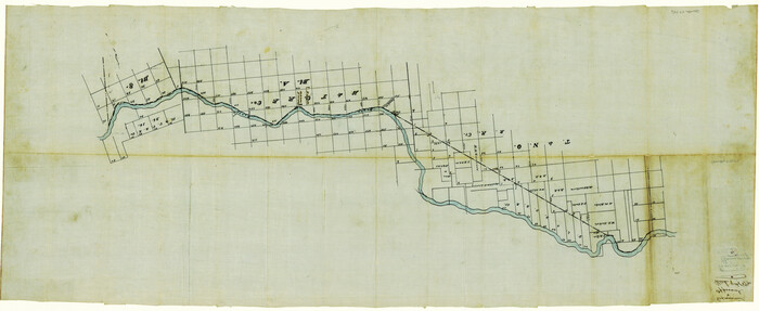
Foard County Boundary File 5a

Print $40.00
- Digital $50.00
Foard County Boundary File 5a
Size 18.2 x 44.4 inches
Map/Doc 53546

