El Paso County Sketch File 14
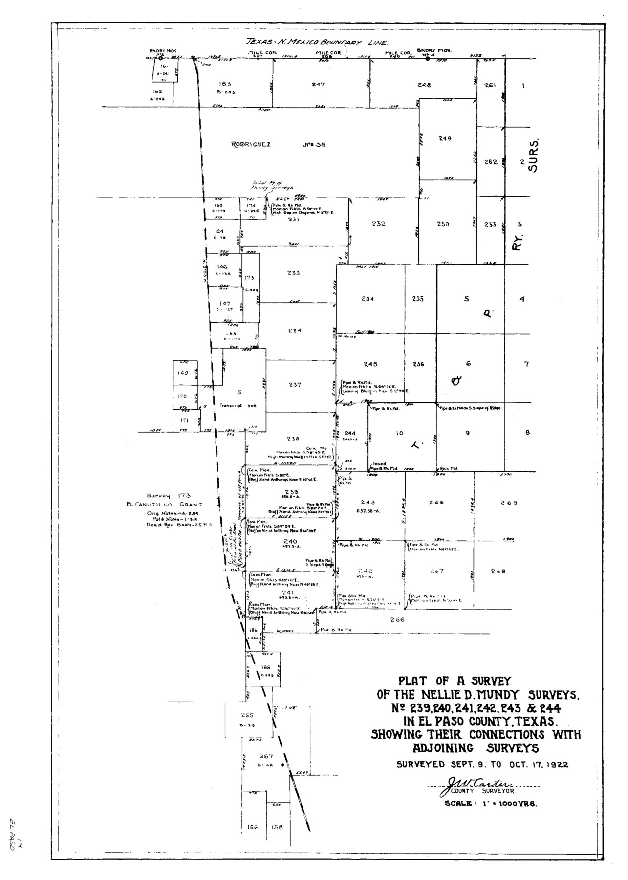
Plat of a Survey of the Nellie D. Mundy Surveys No. 239, 240, 241, 242, 243 & 244 in El Paso County, Texas
-
Map/Doc
11452
-
Collection
General Map Collection
-
Object Dates
1922/10/17 (Creation Date)
1923/1/24 (File Date)
1922/9/9 (Survey Date)
1922/10/17 (Survey Date)
-
People and Organizations
Carter (Surveyor/Engineer)
-
Counties
El Paso
-
Subjects
Surveying Sketch File
-
Height x Width
24.0 x 17.2 inches
61.0 x 43.7 cm
-
Medium
paper, photocopy
-
Scale
1:1000
Part of: General Map Collection
McMullen County Working Sketch 18

Print $20.00
- Digital $50.00
McMullen County Working Sketch 18
1943
Size 17.0 x 16.6 inches
Map/Doc 70719
Hardin County Sketch File AB

Print $4.00
- Digital $50.00
Hardin County Sketch File AB
Size 13.5 x 7.3 inches
Map/Doc 25071
Zavala County Sketch File 12

Print $54.00
- Digital $50.00
Zavala County Sketch File 12
1886
Size 9.0 x 7.7 inches
Map/Doc 41279
United States - Gulf Coast - Padre I. and Laguna Madre Lat. 27° 12' to Lat. 26° 33' Texas

Print $20.00
- Digital $50.00
United States - Gulf Coast - Padre I. and Laguna Madre Lat. 27° 12' to Lat. 26° 33' Texas
1913
Size 27.0 x 18.2 inches
Map/Doc 72814
Brooks County Sketch File 8

Print $40.00
- Digital $50.00
Brooks County Sketch File 8
1946
Size 26.5 x 38.4 inches
Map/Doc 11018
Pecos County Sketch File 100

Print $20.00
- Digital $50.00
Pecos County Sketch File 100
1959
Size 16.4 x 29.9 inches
Map/Doc 12186
Freestone County Sketch File 17

Print $4.00
- Digital $50.00
Freestone County Sketch File 17
1859
Size 6.3 x 8.1 inches
Map/Doc 23074
Map of Brazoria County

Print $40.00
- Digital $50.00
Map of Brazoria County
1891
Size 56.9 x 58.4 inches
Map/Doc 16945
Coke County Sketch File 1

Print $8.00
- Digital $50.00
Coke County Sketch File 1
1858
Size 8.3 x 7.7 inches
Map/Doc 18562
Hockley County Sketch File 2

Print $20.00
- Digital $50.00
Hockley County Sketch File 2
1900
Size 13.2 x 18.1 inches
Map/Doc 11768
Johnson County Sketch File 10a

Print $4.00
- Digital $50.00
Johnson County Sketch File 10a
1877
Size 6.7 x 10.6 inches
Map/Doc 28445
Zavala County Working Sketch 19

Print $40.00
- Digital $50.00
Zavala County Working Sketch 19
1978
Size 16.2 x 59.1 inches
Map/Doc 62094
You may also like
Eastland County Working Sketch 51

Print $20.00
- Digital $50.00
Eastland County Working Sketch 51
1982
Size 37.7 x 39.6 inches
Map/Doc 68832
Irion County Rolled Sketch 25

Print $20.00
- Digital $50.00
Irion County Rolled Sketch 25
2008
Size 35.7 x 24.4 inches
Map/Doc 89227
Palo Pinto County Rolled Sketch 4

Print $20.00
- Digital $50.00
Palo Pinto County Rolled Sketch 4
Size 15.9 x 23.2 inches
Map/Doc 7189
Andrews County Sketch File 4

Print $40.00
- Digital $50.00
Andrews County Sketch File 4
1930
Size 18.5 x 24.2 inches
Map/Doc 10809
Lynn County Sketch File 9

Print $4.00
- Digital $50.00
Lynn County Sketch File 9
1904
Size 11.2 x 8.7 inches
Map/Doc 30475
Freestone County Working Sketch 31

Print $20.00
- Digital $50.00
Freestone County Working Sketch 31
1995
Size 42.8 x 33.9 inches
Map/Doc 78205
J. B. McCauley Farm Section 17, Block AK

Print $20.00
- Digital $50.00
J. B. McCauley Farm Section 17, Block AK
Size 22.9 x 27.3 inches
Map/Doc 92297
Burleson County Working Sketch 35

Print $3.00
- Digital $50.00
Burleson County Working Sketch 35
1981
Size 16.4 x 8.7 inches
Map/Doc 67754
Orange County Rolled Sketch 13

Print $20.00
- Digital $50.00
Orange County Rolled Sketch 13
Size 19.0 x 24.2 inches
Map/Doc 7180
Wilbarger County Sketch File 7

Print $4.00
- Digital $50.00
Wilbarger County Sketch File 7
1883
Size 12.7 x 8.3 inches
Map/Doc 40175
Bell County Boundary File 3

Print $24.00
- Digital $50.00
Bell County Boundary File 3
Size 11.1 x 8.6 inches
Map/Doc 50490
Webb County Sketch File 11b-1

Print $20.00
- Digital $50.00
Webb County Sketch File 11b-1
1880
Size 21.7 x 19.3 inches
Map/Doc 12627