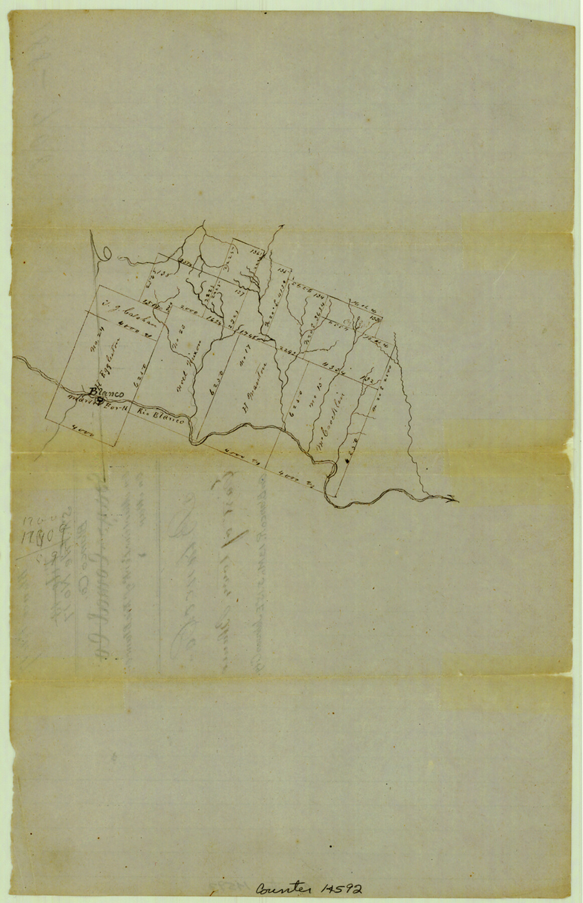
Blanco County Sketch File 17
[Sketch of surveys near Martin's Fork of Rio Blanco]
-
Map/Doc
14592
-
Collection
General Map Collection
-
Counties
Blanco
-
Subjects
Surveying Sketch File
-
Height x Width
12.2 x 7.9 inches
31.0 x 20.1 cm
-
Medium
paper, manuscript
-
Features
Blanco
Rio Blanco
Martin's Fork of Rio Blanco
Part of: General Map Collection

Marion County Working Sketch 29

Print $20.00
- Digital $50.00
Marion County Working Sketch 29
1977
Size 20.4 x 16.1 inches
Map/Doc 70805
Map of San Saba County

Print $20.00
- Digital $50.00
Map of San Saba County
1887
Size 41.7 x 41.7 inches
Map/Doc 63020
Jasper County Working Sketch 33

Print $20.00
- Digital $50.00
Jasper County Working Sketch 33
1999
Size 30.4 x 17.5 inches
Map/Doc 66495
Lampasas County Boundary File 3

Print $10.00
- Digital $50.00
Lampasas County Boundary File 3
Size 8.4 x 7.3 inches
Map/Doc 56101
Flight Mission No. DQN-2K, Frame 165, Calhoun County

Print $20.00
- Digital $50.00
Flight Mission No. DQN-2K, Frame 165, Calhoun County
1953
Size 18.5 x 22.3 inches
Map/Doc 84327
Liberty County Sketch File 37

Print $15.00
- Digital $50.00
Liberty County Sketch File 37
1895
Size 14.9 x 10.0 inches
Map/Doc 29976
Outer Continental Shelf Leasing Maps (Texas Offshore Operations)

Print $20.00
- Digital $50.00
Outer Continental Shelf Leasing Maps (Texas Offshore Operations)
Size 17.7 x 14.3 inches
Map/Doc 75856
Bailey County Sketch File 2

Print $40.00
- Digital $50.00
Bailey County Sketch File 2
1892
Size 28.0 x 23.6 inches
Map/Doc 10881
Presidio County Sketch File 29

Print $20.00
- Digital $50.00
Presidio County Sketch File 29
1890
Size 29.7 x 20.1 inches
Map/Doc 11711
Palo Pinto County Working Sketch Graphic Index

Print $20.00
- Digital $50.00
Palo Pinto County Working Sketch Graphic Index
1941
Map/Doc 76659
Pecos County Working Sketch 134

Print $40.00
- Digital $50.00
Pecos County Working Sketch 134
1979
Size 53.3 x 37.3 inches
Map/Doc 71608
You may also like
Crockett County Rolled Sketch 98

Print $40.00
- Digital $50.00
Crockett County Rolled Sketch 98
2021
Size 36.5 x 48.3 inches
Map/Doc 96577
General Highway Map, Grayson County, Texas

Print $20.00
General Highway Map, Grayson County, Texas
1940
Size 24.9 x 18.4 inches
Map/Doc 79104
Flight Mission No. DCL-7C, Frame 116, Kenedy County

Print $20.00
- Digital $50.00
Flight Mission No. DCL-7C, Frame 116, Kenedy County
1943
Size 18.6 x 22.4 inches
Map/Doc 86081
Atascosa County Rolled Sketch 20A

Print $20.00
- Digital $50.00
Atascosa County Rolled Sketch 20A
Size 41.8 x 32.8 inches
Map/Doc 10224
Flight Mission No. BRE-2P, Frame 20, Nueces County

Print $20.00
- Digital $50.00
Flight Mission No. BRE-2P, Frame 20, Nueces County
1956
Size 17.1 x 19.8 inches
Map/Doc 86729
Current Miscellaneous File 5

Print $8.00
- Digital $50.00
Current Miscellaneous File 5
1946
Size 11.3 x 8.8 inches
Map/Doc 73727
Flight Mission No. DQN-5K, Frame 50, Calhoun County

Print $20.00
- Digital $50.00
Flight Mission No. DQN-5K, Frame 50, Calhoun County
1953
Size 18.5 x 22.3 inches
Map/Doc 84395
Brown County Working Sketch 13

Print $20.00
- Digital $50.00
Brown County Working Sketch 13
1985
Size 34.1 x 30.4 inches
Map/Doc 67778
Red River County Working Sketch 2

Print $20.00
- Digital $50.00
Red River County Working Sketch 2
1918
Size 26.9 x 21.7 inches
Map/Doc 71985
Glasscock County Sketch File 28

Print $40.00
Glasscock County Sketch File 28
1877
Size 15.7 x 15.9 inches
Map/Doc 38163
Flight Mission No. DQO-8K, Frame 89, Galveston County

Print $20.00
- Digital $50.00
Flight Mission No. DQO-8K, Frame 89, Galveston County
1952
Size 18.6 x 22.4 inches
Map/Doc 85191
Topographical Map of the Rio Grande, Sheet No. 4

Print $20.00
- Digital $50.00
Topographical Map of the Rio Grande, Sheet No. 4
1912
Map/Doc 89528