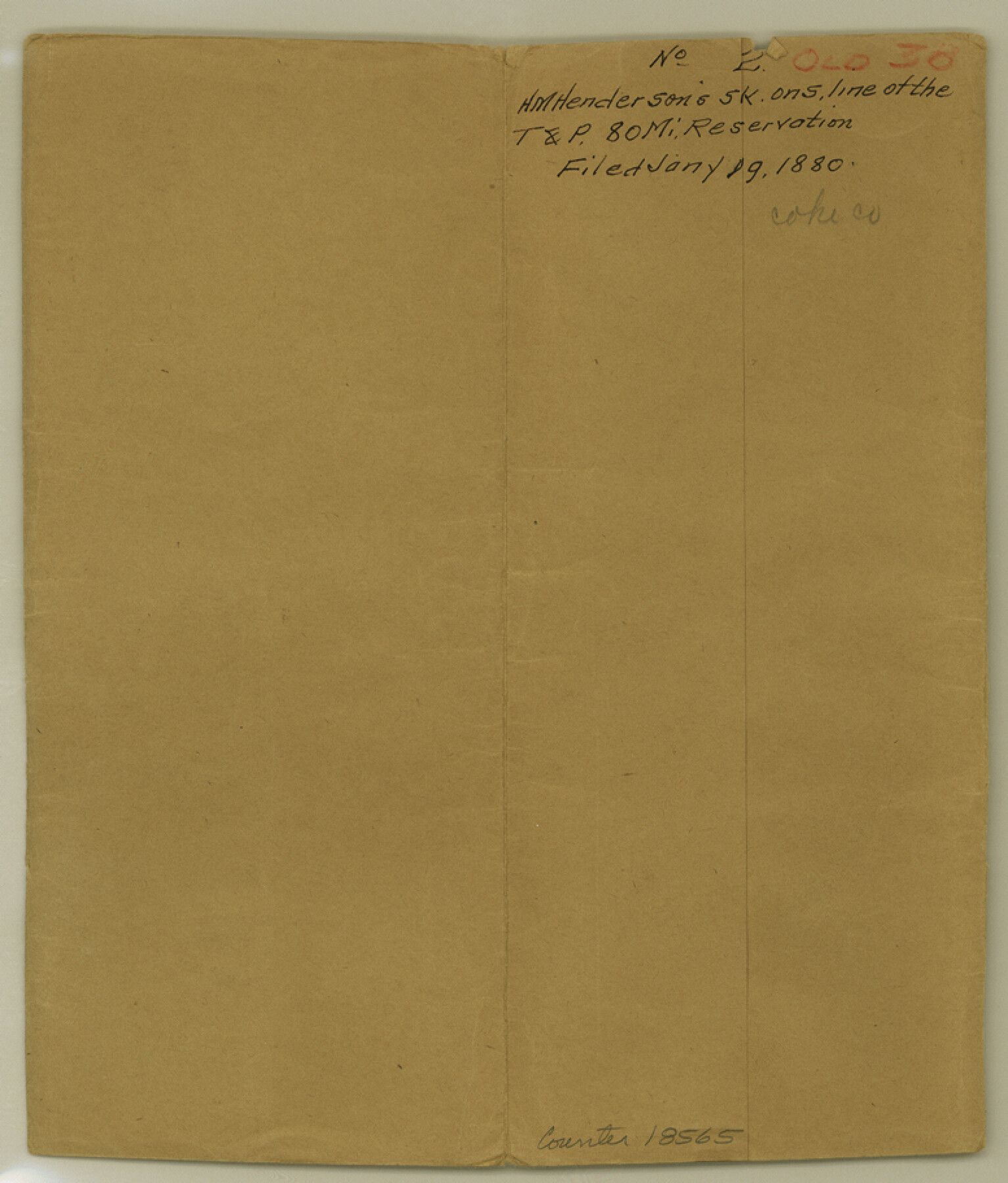
Coke County Sketch File 2
[Sketch of large area south of the south line of the 80-mile T. & P. Reservation in southwest part of Coke County and north part of Tom Green County]
-
Map/Doc
18565
-
Collection
General Map Collection
-
Object Dates
1880/1/19 (File Date)
-
People and Organizations
H.M. Henderson (Surveyor/Engineer)
-
Counties
Coke Tom Green
-
Subjects
Surveying Sketch File
-
Height x Width
9.1 x 7.8 inches
23.1 x 19.8 cm
-
Medium
paper, manuscript
-
Features
80 Mile Reserve
Part of: General Map Collection
Hays County Working Sketch 23

Print $20.00
- Digital $50.00
Hays County Working Sketch 23
2011
Size 30.5 x 29.2 inches
Map/Doc 90090
Flight Mission No. DAG-21K, Frame 34, Matagorda County

Print $20.00
- Digital $50.00
Flight Mission No. DAG-21K, Frame 34, Matagorda County
1952
Size 18.7 x 22.3 inches
Map/Doc 86401
General Chart of the Coast No. XXI Gulf Coast from Galveston to the Rio Grande

Print $20.00
- Digital $50.00
General Chart of the Coast No. XXI Gulf Coast from Galveston to the Rio Grande
1883
Size 27.2 x 18.3 inches
Map/Doc 72728
Tom Green County Rolled Sketch 27

Print $20.00
- Digital $50.00
Tom Green County Rolled Sketch 27
Size 36.1 x 45.4 inches
Map/Doc 10008
[Surveys in Austin's Colony along the San Bernardo River from the mouth of Peach Creek]
![209, [Surveys in Austin's Colony along the San Bernardo River from the mouth of Peach Creek], General Map Collection](https://historictexasmaps.com/wmedia_w700/maps/209.tif.jpg)
Print $20.00
- Digital $50.00
[Surveys in Austin's Colony along the San Bernardo River from the mouth of Peach Creek]
1821
Size 23.4 x 10.6 inches
Map/Doc 209
Brewster County Rolled Sketch 70

Print $20.00
- Digital $50.00
Brewster County Rolled Sketch 70
Size 23.6 x 20.1 inches
Map/Doc 5236
Matagorda County NRC Article 33.136 Sketch 16

Digital $50.00
Matagorda County NRC Article 33.136 Sketch 16
2023
Map/Doc 97256
Liberty County Working Sketch 8

Print $20.00
- Digital $50.00
Liberty County Working Sketch 8
1906
Size 42.4 x 33.1 inches
Map/Doc 70467
Sketch exhibiting the San Antonio River from the source to the fork of Goliad

Print $20.00
- Digital $50.00
Sketch exhibiting the San Antonio River from the source to the fork of Goliad
Size 27.5 x 16.6 inches
Map/Doc 73009
Current Miscellaneous File 17

Print $24.00
- Digital $50.00
Current Miscellaneous File 17
1951
Size 10.7 x 8.1 inches
Map/Doc 73838
Cass County Working Sketch 28

Print $20.00
- Digital $50.00
Cass County Working Sketch 28
1979
Size 16.0 x 16.8 inches
Map/Doc 67931
Crockett County Sketch File 23

Print $2.00
- Digital $50.00
Crockett County Sketch File 23
Size 8.6 x 8.5 inches
Map/Doc 19697
You may also like
Sketch in NE Portion Hutchinson County

Print $20.00
- Digital $50.00
Sketch in NE Portion Hutchinson County
1913
Size 36.9 x 43.3 inches
Map/Doc 75815
Val Verde County Sketch File 38

Print $44.00
- Digital $50.00
Val Verde County Sketch File 38
1938
Size 17.6 x 17.2 inches
Map/Doc 12579
Plot of land tracts situated in Austin Co. west of Mill Creek opposite and above the fork of the same

Print $2.00
- Digital $50.00
Plot of land tracts situated in Austin Co. west of Mill Creek opposite and above the fork of the same
1845
Size 7.7 x 8.1 inches
Map/Doc 224
Railroad and County Map of Texas

Print $20.00
Railroad and County Map of Texas
1903
Size 33.5 x 37.4 inches
Map/Doc 76224
Brewster County Working Sketch 63

Print $20.00
- Digital $50.00
Brewster County Working Sketch 63
1956
Size 30.4 x 28.9 inches
Map/Doc 67664
Flight Mission No. BQR-5K, Frame 61, Brazoria County

Print $20.00
- Digital $50.00
Flight Mission No. BQR-5K, Frame 61, Brazoria County
1952
Size 18.9 x 22.5 inches
Map/Doc 84006
Presidio County Rolled Sketch 43

Print $20.00
- Digital $50.00
Presidio County Rolled Sketch 43
1907
Size 31.5 x 19.7 inches
Map/Doc 7340
Ector County Boundary File 3

Print $18.00
- Digital $50.00
Ector County Boundary File 3
Size 9.0 x 4.4 inches
Map/Doc 52836
Bowie County Working Sketch 26

Print $20.00
- Digital $50.00
Bowie County Working Sketch 26
1980
Size 29.1 x 24.7 inches
Map/Doc 67430
Crockett County Sketch File 58a

Print $20.00
- Digital $50.00
Crockett County Sketch File 58a
1923
Size 21.1 x 25.8 inches
Map/Doc 5601
Capitol Syndicate Subdivision of Capitol Land Reservation Leagues Number 153, 154, 155, 156, 157, 158, 167, 168, 169, 170, 171, and 172 and Parts of Leagues 143, 144, 145, 146, 152, 159, 166, and 173

Print $20.00
- Digital $50.00
Capitol Syndicate Subdivision of Capitol Land Reservation Leagues Number 153, 154, 155, 156, 157, 158, 167, 168, 169, 170, 171, and 172 and Parts of Leagues 143, 144, 145, 146, 152, 159, 166, and 173
1908
Size 22.8 x 34.6 inches
Map/Doc 90735
[Northwest Portion of King County]
![90978, [Northwest Portion of King County], Twichell Survey Records](https://historictexasmaps.com/wmedia_w700/maps/90978-1.tif.jpg)
Print $20.00
- Digital $50.00
[Northwest Portion of King County]
Size 28.7 x 35.7 inches
Map/Doc 90978