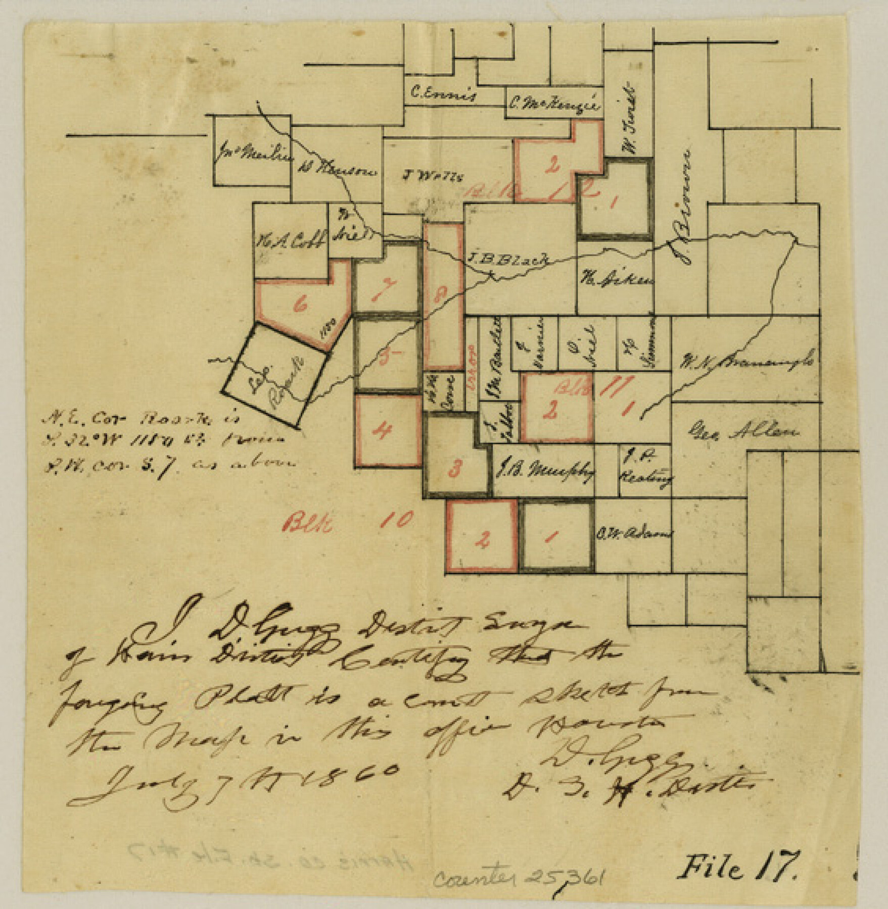
Harris County Sketch File 17
[Sketch of surveys on headwaters of Bray's Bayou]
-
Map/Doc
25361
-
Collection
General Map Collection
-
Object Dates
1860/7/7 (Creation Date)
1860/7/10 (File Date)
-
People and Organizations
D. Gregg (Surveyor/Engineer)
-
Counties
Harris Fort Bend
-
Subjects
Surveying Sketch File
-
Height x Width
5.8 x 5.6 inches
14.7 x 14.2 cm
-
Medium
paper, manuscript
-
Features
Brays Bayou
Part of: General Map Collection
Leon County Sketch File 3

Print $4.00
- Digital $50.00
Leon County Sketch File 3
Size 12.4 x 7.9 inches
Map/Doc 29713
Runnels County Boundary File 1

Print $42.00
- Digital $50.00
Runnels County Boundary File 1
Size 9.3 x 7.7 inches
Map/Doc 58504
Zapata County Rolled Sketch 5

Print $20.00
- Digital $50.00
Zapata County Rolled Sketch 5
1884
Size 19.7 x 16.0 inches
Map/Doc 8307
Presidio County Sketch File 47

Print $16.00
- Digital $50.00
Presidio County Sketch File 47
1918
Size 7.2 x 8.1 inches
Map/Doc 34574
Erath County Working Sketch 18

Print $20.00
- Digital $50.00
Erath County Working Sketch 18
1962
Size 30.5 x 34.8 inches
Map/Doc 69099
[Surveys in McMullen and McGloin's Colony along the San Antonio River]
![30, [Surveys in McMullen and McGloin's Colony along the San Antonio River], General Map Collection](https://historictexasmaps.com/wmedia_w700/maps/30-1.tif.jpg)
Print $20.00
- Digital $50.00
[Surveys in McMullen and McGloin's Colony along the San Antonio River]
1828
Size 19.3 x 24.5 inches
Map/Doc 30
Pecos County Rolled Sketch 191

Print $20.00
- Digital $50.00
Pecos County Rolled Sketch 191
Size 18.2 x 27.4 inches
Map/Doc 95397
Kerr County Rolled Sketch 16

Print $20.00
- Digital $50.00
Kerr County Rolled Sketch 16
1951
Size 40.6 x 31.1 inches
Map/Doc 9346
Wichita County Rolled Sketch 9

Print $20.00
- Digital $50.00
Wichita County Rolled Sketch 9
1917
Size 28.0 x 27.7 inches
Map/Doc 8246
Clay County Sketch File 6

Print $4.00
- Digital $50.00
Clay County Sketch File 6
1854
Size 8.1 x 12.5 inches
Map/Doc 18395
United States Gulf Coast - from Galveston to the Rio Grande

Print $20.00
- Digital $50.00
United States Gulf Coast - from Galveston to the Rio Grande
1915
Size 26.9 x 18.3 inches
Map/Doc 72732
Hutchinson County Sketch File 49

Print $30.00
- Digital $50.00
Hutchinson County Sketch File 49
1992
Size 14.2 x 8.6 inches
Map/Doc 27419
You may also like
Presidio County Rolled Sketch A-2

Print $20.00
- Digital $50.00
Presidio County Rolled Sketch A-2
1889
Size 36.9 x 43.9 inches
Map/Doc 9770
Rusk County Working Sketch 20b

Print $20.00
- Digital $50.00
Rusk County Working Sketch 20b
1955
Size 31.5 x 30.3 inches
Map/Doc 63656
Nacogdoches County Rolled Sketch 1

Print $20.00
- Digital $50.00
Nacogdoches County Rolled Sketch 1
1950
Size 33.5 x 31.0 inches
Map/Doc 6836
Kaufman County Sketch File 12

Print $4.00
- Digital $50.00
Kaufman County Sketch File 12
1862
Size 12.9 x 8.2 inches
Map/Doc 28647
Vandelia Village an Addition to the City of Lubbock, a Subdivision of Southeast Quarter, Section 3, Block E

Print $20.00
- Digital $50.00
Vandelia Village an Addition to the City of Lubbock, a Subdivision of Southeast Quarter, Section 3, Block E
1950
Size 29.6 x 36.0 inches
Map/Doc 92725
Cottle County Rolled Sketch E

Print $20.00
- Digital $50.00
Cottle County Rolled Sketch E
1917
Size 29.9 x 28.7 inches
Map/Doc 8674
A Boundary Atlas of Texas, 1821-1845

Digital $50.00
A Boundary Atlas of Texas, 1821-1845
2020
Map/Doc 96437
Nueces County Sketch File 63

Print $4.00
- Digital $50.00
Nueces County Sketch File 63
1978
Size 14.2 x 8.5 inches
Map/Doc 32973
Flight Mission No. CLL-4N, Frame 33, Willacy County

Print $20.00
- Digital $50.00
Flight Mission No. CLL-4N, Frame 33, Willacy County
1954
Size 18.3 x 22.0 inches
Map/Doc 87106
Outer Continental Shelf Leasing Maps (Louisiana Offshore Operations)

Print $20.00
- Digital $50.00
Outer Continental Shelf Leasing Maps (Louisiana Offshore Operations)
1955
Size 11.2 x 7.4 inches
Map/Doc 76087
Liberty County Sketch File 33a

Print $4.00
- Digital $50.00
Liberty County Sketch File 33a
1874
Size 7.9 x 8.2 inches
Map/Doc 29969
Current Miscellaneous File 72

Print $40.00
- Digital $50.00
Current Miscellaneous File 72
Size 10.8 x 8.2 inches
Map/Doc 74159