Jackson County Sketch File 10
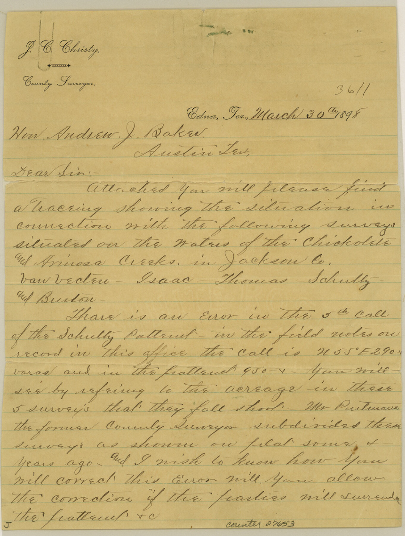
Subdivision of the D.H. Vanvechten, Martha Isaacs, C.A. Thomas, S. Schultz, and E. Bruton Surveys of the Waters of Chicolete & Arenosa Creeks Jackson Co., Texas
-
Map/Doc
27653
-
Collection
General Map Collection
-
Object Dates
1898/3/30 (Creation Date)
1898/4/6 (File Date)
1898/3/30 (Correspondence Date)
-
People and Organizations
J.C. Christy (Surveyor/Engineer)
Mr. Putmann (Surveyor/Engineer)
Lee Glassford (Chainman)
Jno. F. Bawley (Chainman)
-
Counties
Jackson
-
Subjects
Surveying Sketch File
-
Height x Width
11.4 x 8.6 inches
29.0 x 21.8 cm
-
Medium
multi-page, multi-format
-
Scale
1:500
-
Features
Lavaca River
Chickolete [sic] Creek
Arinosa [sic] Creek
Part of: General Map Collection
Cameron County Rolled Sketch 19

Print $20.00
- Digital $50.00
Cameron County Rolled Sketch 19
Size 25.8 x 23.6 inches
Map/Doc 5465
Flight Mission No. DQO-7K, Frame 80, Galveston County

Print $20.00
- Digital $50.00
Flight Mission No. DQO-7K, Frame 80, Galveston County
1952
Size 18.8 x 22.4 inches
Map/Doc 85107
Menard County Rolled Sketch 11

Print $20.00
- Digital $50.00
Menard County Rolled Sketch 11
1962
Size 24.8 x 20.1 inches
Map/Doc 6757
Fayette County

Print $40.00
- Digital $50.00
Fayette County
1920
Size 42.7 x 49.8 inches
Map/Doc 4945
Galveston County NRC Article 33.136 Sketch 27

Print $126.00
- Digital $50.00
Galveston County NRC Article 33.136 Sketch 27
2003
Size 24.4 x 36.2 inches
Map/Doc 81970
Cass County Sketch File 7

Print $4.00
- Digital $50.00
Cass County Sketch File 7
1853
Size 8.0 x 12.6 inches
Map/Doc 17408
Panola County Working Sketch 25

Print $20.00
- Digital $50.00
Panola County Working Sketch 25
1957
Map/Doc 71434
Travis County Sketch File 23

Print $4.00
- Digital $50.00
Travis County Sketch File 23
1875
Size 12.8 x 8.5 inches
Map/Doc 38330
Van Zandt County Rolled Sketch 7

Print $20.00
- Digital $50.00
Van Zandt County Rolled Sketch 7
1946
Size 27.0 x 20.4 inches
Map/Doc 8147

Edwards County Working Sketch 16

Print $20.00
- Digital $50.00
Edwards County Working Sketch 16
1929
Size 21.5 x 21.5 inches
Map/Doc 68892
Presidio County Rolled Sketch 39

Print $20.00
- Digital $50.00
Presidio County Rolled Sketch 39
Size 16.0 x 22.0 inches
Map/Doc 7336
You may also like
Laneer vs. Bivins, Potter County, Texas

Print $20.00
- Digital $50.00
Laneer vs. Bivins, Potter County, Texas
Size 21.1 x 18.7 inches
Map/Doc 93098
Pecos County Rolled Sketch 103

Print $20.00
- Digital $50.00
Pecos County Rolled Sketch 103
1940
Size 27.5 x 32.4 inches
Map/Doc 7251
Jules A. Appler's Map of San Antonio, Texas and Suburbs

Print $20.00
Jules A. Appler's Map of San Antonio, Texas and Suburbs
1900
Size 43.0 x 29.7 inches
Map/Doc 79303
Flight Mission No. DQN-2K, Frame 70, Calhoun County

Print $20.00
- Digital $50.00
Flight Mission No. DQN-2K, Frame 70, Calhoun County
1953
Size 18.7 x 22.3 inches
Map/Doc 84262
Coast Chart No. 212 - From Latitude 26° 33' to the Rio Grande, Texas

Print $20.00
- Digital $50.00
Coast Chart No. 212 - From Latitude 26° 33' to the Rio Grande, Texas
1886
Size 30.5 x 24.1 inches
Map/Doc 73504
San Patricio County NRC Article 33.136 Sketch 1

Print $32.00
- Digital $50.00
San Patricio County NRC Article 33.136 Sketch 1
2001
Size 18.5 x 24.1 inches
Map/Doc 61623
Garza County Sketch File X

Print $22.00
- Digital $50.00
Garza County Sketch File X
Size 17.1 x 12.3 inches
Map/Doc 24042
Flight Mission No. BQR-3K, Frame 154, Brazoria County

Print $20.00
- Digital $50.00
Flight Mission No. BQR-3K, Frame 154, Brazoria County
1952
Size 18.7 x 22.3 inches
Map/Doc 83981
Mitchell's Travellers Guide Through the United States. A Map of the Roads, Distances, Steam Boat, and Canal Routes etc.

Print $20.00
Mitchell's Travellers Guide Through the United States. A Map of the Roads, Distances, Steam Boat, and Canal Routes etc.
1835
Size 18.0 x 22.7 inches
Map/Doc 79723
Knox County Rolled Sketch 9

Print $20.00
- Digital $50.00
Knox County Rolled Sketch 9
Size 26.1 x 33.0 inches
Map/Doc 9407
Flight Mission No. DQO-8K, Frame 6, Galveston County

Print $20.00
- Digital $50.00
Flight Mission No. DQO-8K, Frame 6, Galveston County
1952
Size 18.8 x 22.3 inches
Map/Doc 85129
Refugio County Rolled Sketch 5

Print $20.00
- Digital $50.00
Refugio County Rolled Sketch 5
1941
Size 45.0 x 42.5 inches
Map/Doc 9859