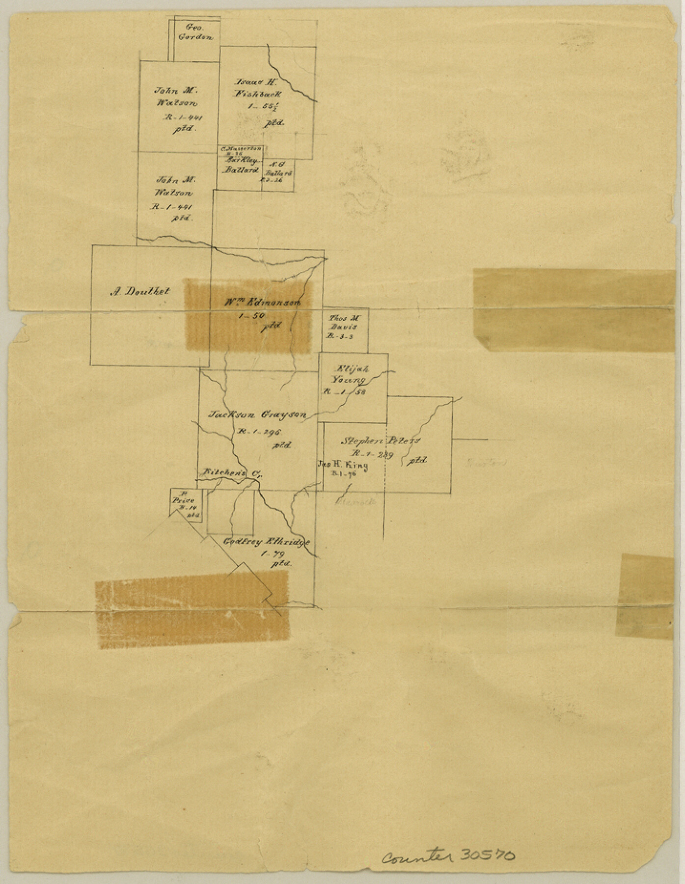
Marion County Sketch File 6
[Two sketches showing area near the line of Marion and Cass County]
-
Map/Doc
30570
-
Collection
General Map Collection
-
Object Dates
2/3/1902 (File Date)
-
Counties
Marion Cass
-
Subjects
Surveying Sketch File
-
Height x Width
9.3 x 7.2 inches
23.6 x 18.3 cm
-
Medium
paper, manuscript
-
Features
Kitchen's Creek
Part of: General Map Collection
Cooke County Sketch File 30

Print $4.00
- Digital $50.00
Cooke County Sketch File 30
Size 8.8 x 5.5 inches
Map/Doc 19291
Upton County Working Sketch 59

Print $20.00
- Digital $50.00
Upton County Working Sketch 59
1987
Size 21.5 x 34.3 inches
Map/Doc 69556
Cass County Sketch File 4

Print $6.00
- Digital $50.00
Cass County Sketch File 4
1853
Size 8.2 x 11.2 inches
Map/Doc 17398
Ward County Working Sketch 15

Print $20.00
- Digital $50.00
Ward County Working Sketch 15
1947
Size 38.7 x 40.4 inches
Map/Doc 72321
Reeves County Working Sketch 64

Print $20.00
- Digital $50.00
Reeves County Working Sketch 64
1984
Size 26.3 x 26.5 inches
Map/Doc 63507
Coryell County Working Sketch 18

Print $20.00
- Digital $50.00
Coryell County Working Sketch 18
1965
Size 24.6 x 34.3 inches
Map/Doc 68225
Coryelle County

Print $20.00
- Digital $50.00
Coryelle County
1855
Size 18.6 x 23.1 inches
Map/Doc 51904
Flight Mission No. BRA-17M, Frame 9, Jefferson County

Print $20.00
- Digital $50.00
Flight Mission No. BRA-17M, Frame 9, Jefferson County
1953
Size 18.6 x 22.2 inches
Map/Doc 85790
Reagan County Sketch File 3

Print $20.00
- Digital $50.00
Reagan County Sketch File 3
Size 18.0 x 21.9 inches
Map/Doc 12213
Presidio County Sketch File 37A

Print $18.00
- Digital $50.00
Presidio County Sketch File 37A
Size 11.4 x 8.8 inches
Map/Doc 34499
Brown County Working Sketch 4

Print $20.00
- Digital $50.00
Brown County Working Sketch 4
1926
Size 23.4 x 22.4 inches
Map/Doc 67769
Borden County Boundary File 3

Print $62.00
- Digital $50.00
Borden County Boundary File 3
1908
Size 28.7 x 82.9 inches
Map/Doc 1695
You may also like
The Republic County of San Patricio. Proposed, Late Fall 1837-December 31, 1838

Print $20.00
The Republic County of San Patricio. Proposed, Late Fall 1837-December 31, 1838
2020
Size 22.2 x 21.7 inches
Map/Doc 96274
Armstrong County Boundary File 1 and 1a

Print $10.00
- Digital $50.00
Armstrong County Boundary File 1 and 1a
Size 9.0 x 8.1 inches
Map/Doc 50121
Henderson County Working Sketch 43

Print $20.00
- Digital $50.00
Henderson County Working Sketch 43
1994
Size 36.7 x 39.0 inches
Map/Doc 66176
Brewster County Working Sketch Graphic Index, South Part

Print $40.00
- Digital $50.00
Brewster County Working Sketch Graphic Index, South Part
1955
Size 48.5 x 40.4 inches
Map/Doc 76475
Kerr County Sketch File 7

Print $4.00
- Digital $50.00
Kerr County Sketch File 7
1881
Size 8.8 x 15.7 inches
Map/Doc 28869

Map of the Passo Cavallo on the entrance into Matagorda Bay from the Gulf of Mexico

Print $20.00
- Digital $50.00
Map of the Passo Cavallo on the entrance into Matagorda Bay from the Gulf of Mexico
1839
Size 18.4 x 26.9 inches
Map/Doc 72764
Map of the Texas & Pacific Railway "Gould System" Lines and Connections

Print $20.00
- Digital $50.00
Map of the Texas & Pacific Railway "Gould System" Lines and Connections
1890
Size 18.1 x 37.0 inches
Map/Doc 94102
Upton County Rolled Sketch 52

Print $20.00
- Digital $50.00
Upton County Rolled Sketch 52
Size 24.5 x 29.2 inches
Map/Doc 8087
Harris County Historic Topographic 2

Print $20.00
- Digital $50.00
Harris County Historic Topographic 2
1916
Size 29.5 x 22.7 inches
Map/Doc 65812
Flight Mission No. CRC-3R, Frame 207, Chambers County

Print $20.00
- Digital $50.00
Flight Mission No. CRC-3R, Frame 207, Chambers County
1956
Size 18.6 x 22.3 inches
Map/Doc 84862
Cass County Sketch File 6

Print $4.00
- Digital $50.00
Cass County Sketch File 6
1852
Size 8.4 x 8.8 inches
Map/Doc 17406