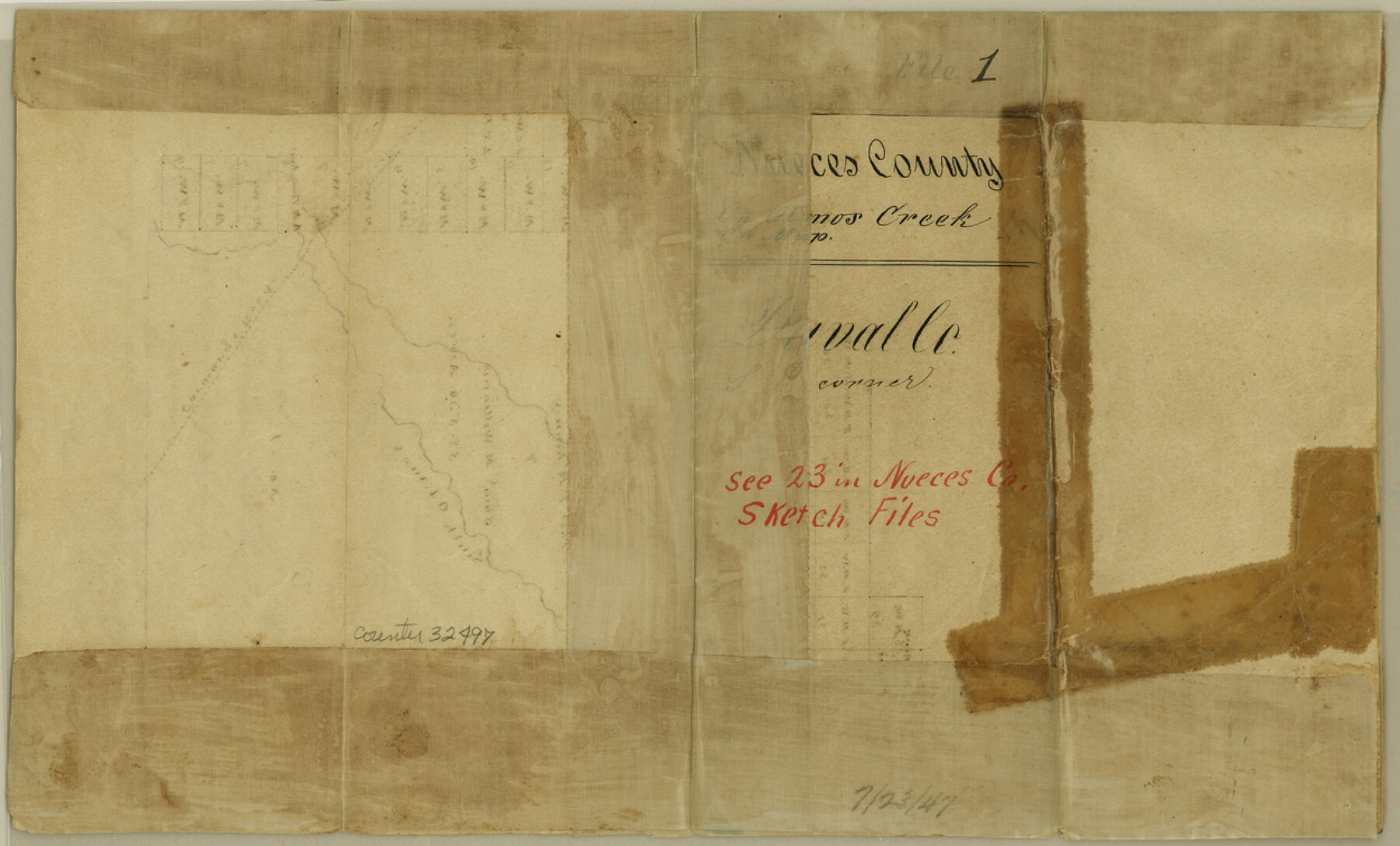
Nueces County Sketch File 1
[Sketch of surveys along North and South Olmos Creek]
-
Map/Doc
32497
-
Collection
General Map Collection
-
Object Dates
7/23/1847 (Creation Date)
-
People and Organizations
J. Snively (Surveyor/Engineer)
-
Counties
Nueces
-
Subjects
Surveying Sketch File
-
Height x Width
7.6 x 12.5 inches
19.3 x 31.8 cm
-
Medium
paper, manuscript
-
Features
North Olmos Creek
South Olmos Creek
Carmargo Road
Part of: General Map Collection
Map of East Part of Pecos Co.

Print $20.00
- Digital $50.00
Map of East Part of Pecos Co.
1896
Size 47.4 x 37.6 inches
Map/Doc 66975
Map of Nacogdoches County

Print $20.00
- Digital $50.00
Map of Nacogdoches County
1881
Size 24.0 x 21.3 inches
Map/Doc 4602
Midland County Sketch File 19

Print $74.00
- Digital $50.00
Midland County Sketch File 19
1952
Size 11.1 x 8.7 inches
Map/Doc 31587
Wise County Sketch File 49

Print $20.00
- Digital $50.00
Wise County Sketch File 49
1882
Size 15.5 x 20.8 inches
Map/Doc 12702
Stonewall County Rolled Sketch 11A

Print $20.00
- Digital $50.00
Stonewall County Rolled Sketch 11A
Size 33.4 x 28.2 inches
Map/Doc 7868

Bosque County Working Sketch 15

Print $20.00
- Digital $50.00
Bosque County Working Sketch 15
1963
Size 29.3 x 30.5 inches
Map/Doc 67448
Fisher County Boundary File 2

Print $18.00
- Digital $50.00
Fisher County Boundary File 2
Size 14.4 x 8.9 inches
Map/Doc 53419
United States - Gulf Coast - Aransas Pass and Corpus Christi Bay with the coast to latitude 27° 12' Texas

Print $20.00
- Digital $50.00
United States - Gulf Coast - Aransas Pass and Corpus Christi Bay with the coast to latitude 27° 12' Texas
1913
Size 27.5 x 18.3 inches
Map/Doc 72796
Flight Mission No. CRE-2R, Frame 152, Jackson County

Print $20.00
- Digital $50.00
Flight Mission No. CRE-2R, Frame 152, Jackson County
1956
Size 16.3 x 16.1 inches
Map/Doc 85363
Navarro County Working Sketch 12

Print $40.00
- Digital $50.00
Navarro County Working Sketch 12
1979
Size 37.2 x 48.8 inches
Map/Doc 71242
Limestone County Boundary File 1

Print $9.00
- Digital $50.00
Limestone County Boundary File 1
Size 8.8 x 14.5 inches
Map/Doc 56296
You may also like
[Part of Blocks 34 and 35, Township 3 North]
![91287, [Part of Blocks 34 and 35, Township 3 North], Twichell Survey Records](https://historictexasmaps.com/wmedia_w700/maps/91287-1.tif.jpg)
Print $20.00
- Digital $50.00
[Part of Blocks 34 and 35, Township 3 North]
Size 12.7 x 13.5 inches
Map/Doc 91287
Outer Continental Shelf Leasing Maps (Louisiana Offshore Operations)

Print $20.00
- Digital $50.00
Outer Continental Shelf Leasing Maps (Louisiana Offshore Operations)
1959
Size 17.7 x 13.9 inches
Map/Doc 76108
Kimble County Sketch File 41

Print $10.00
- Digital $50.00
Kimble County Sketch File 41
1994
Size 11.2 x 8.7 inches
Map/Doc 29010
Matagorda County Sketch File 31

Print $4.00
- Digital $50.00
Matagorda County Sketch File 31
1919
Size 11.4 x 8.2 inches
Map/Doc 30815
Sketch of Ed Trigg School File

Print $20.00
- Digital $50.00
Sketch of Ed Trigg School File
1929
Size 40.0 x 21.6 inches
Map/Doc 91254
Bandera County Working Sketch 54

Print $20.00
- Digital $50.00
Bandera County Working Sketch 54
1988
Size 30.4 x 30.1 inches
Map/Doc 67650
Dimmit County Working Sketch 20

Print $20.00
- Digital $50.00
Dimmit County Working Sketch 20
1948
Size 30.4 x 21.3 inches
Map/Doc 68681
The Mexican Municipality of Colorado. Created, January 11, 1836

Print $20.00
The Mexican Municipality of Colorado. Created, January 11, 1836
2020
Size 15.7 x 21.6 inches
Map/Doc 96019
Blanco County Rolled Sketch 12

Print $20.00
- Digital $50.00
Blanco County Rolled Sketch 12
1964
Size 17.3 x 20.0 inches
Map/Doc 5148
Concho, San Saba & Llano Valley Railway, Sterling City Branch, Texas. Right of Way and Track Map

Print $40.00
- Digital $50.00
Concho, San Saba & Llano Valley Railway, Sterling City Branch, Texas. Right of Way and Track Map
1910
Size 17.9 x 120.8 inches
Map/Doc 64436
Brewster County Rolled Sketch 146B

Print $40.00
- Digital $50.00
Brewster County Rolled Sketch 146B
1985
Size 55.5 x 45.2 inches
Map/Doc 8528
