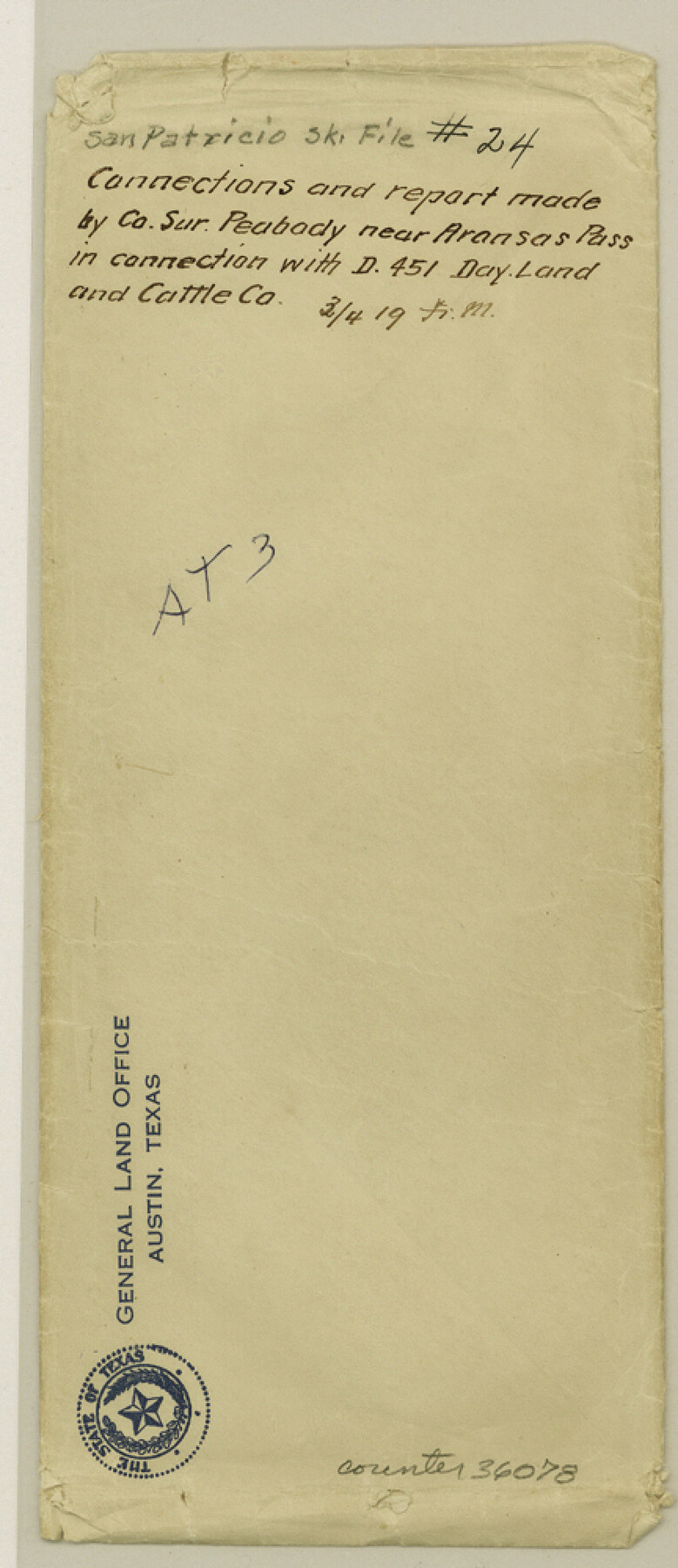
San Patricio County Sketch File 24
[Connections and report made near Aransas Pass in connection with Day Land and Cattle Co. survey]
-
Map/Doc
36078
-
Collection
General Map Collection
-
Object Dates
10/23/1918 (Creation Date)
-
People and Organizations
H.A. Peabody (Surveyor/Engineer)
-
Counties
San Patricio Aransas
-
Subjects
Surveying Sketch File
-
Height x Width
10.0 x 4.3 inches
25.4 x 10.9 cm
-
Medium
paper, print
-
Features
[Port Aransas] Light House
Wheeler Avenue
Aransas Pass
Avenue B
McCambell Subdivision
Ingleside Station
Road to Ingleside
SA&AP
Gregory
Part of: General Map Collection
Coke County Sketch File 10

Print $6.00
- Digital $50.00
Coke County Sketch File 10
1892
Size 10.7 x 8.1 inches
Map/Doc 18587
Flight Mission No. CLL-1N, Frame 159, Willacy County

Print $20.00
- Digital $50.00
Flight Mission No. CLL-1N, Frame 159, Willacy County
1954
Size 18.4 x 22.2 inches
Map/Doc 87050
Terrell County Working Sketch 55

Print $20.00
- Digital $50.00
Terrell County Working Sketch 55
1959
Size 25.9 x 43.4 inches
Map/Doc 62148
Flight Mission No. DQN-3K, Frame 11, Calhoun County

Print $20.00
- Digital $50.00
Flight Mission No. DQN-3K, Frame 11, Calhoun County
1953
Size 18.6 x 22.2 inches
Map/Doc 84343
Kerr County Working Sketch 37

Print $20.00
- Digital $50.00
Kerr County Working Sketch 37
1995
Size 19.0 x 24.0 inches
Map/Doc 70068
Jackson County Sketch File 24

Print $20.00
- Digital $50.00
Jackson County Sketch File 24
1949
Size 17.5 x 23.4 inches
Map/Doc 11844
Sterling County Sketch File 22

Print $4.00
- Digital $50.00
Sterling County Sketch File 22
1954
Size 11.2 x 8.7 inches
Map/Doc 37182
Map showing contour of lake to be formed by the Marshall-Ford Dam on the Colorado River in Travis County, Texas and the land surveys crossed by this contour and contiguous to the lake

Print $20.00
- Digital $50.00
Map showing contour of lake to be formed by the Marshall-Ford Dam on the Colorado River in Travis County, Texas and the land surveys crossed by this contour and contiguous to the lake
1937
Size 22.6 x 18.8 inches
Map/Doc 60292

United States - Gulf Coast - From Latitude 26° 33' to the Rio Grande Texas

Print $20.00
- Digital $50.00
United States - Gulf Coast - From Latitude 26° 33' to the Rio Grande Texas
1913
Size 18.3 x 23.6 inches
Map/Doc 72843
Dimmit County Working Sketch 25

Print $20.00
- Digital $50.00
Dimmit County Working Sketch 25
1955
Size 24.9 x 18.3 inches
Map/Doc 68686
Brazoria County Working Sketch 15

Print $20.00
- Digital $50.00
Brazoria County Working Sketch 15
1940
Size 18.2 x 38.6 inches
Map/Doc 67500
You may also like
Hutchinson County Sketch File 32

Print $20.00
- Digital $50.00
Hutchinson County Sketch File 32
1924
Size 16.7 x 18.0 inches
Map/Doc 11820
Real County Working Sketch 50

Print $20.00
- Digital $50.00
Real County Working Sketch 50
1957
Size 19.8 x 26.1 inches
Map/Doc 71942
Gaines County Rolled Sketch 17A

Print $40.00
- Digital $50.00
Gaines County Rolled Sketch 17A
1950
Size 23.9 x 61.6 inches
Map/Doc 9040
Duval County Sketch File 26

Print $4.00
- Digital $50.00
Duval County Sketch File 26
1882
Size 13.0 x 9.0 inches
Map/Doc 21332
Kinney County Sketch File 30

Print $10.00
- Digital $50.00
Kinney County Sketch File 30
1933
Size 11.3 x 8.7 inches
Map/Doc 29171
Runnels County Boundary File 1

Print $42.00
- Digital $50.00
Runnels County Boundary File 1
Size 9.3 x 7.7 inches
Map/Doc 58504
Nueces County Rolled Sketch 128 A-E

Print $10.00
- Digital $50.00
Nueces County Rolled Sketch 128 A-E
1998
Size 11.0 x 8.5 inches
Map/Doc 41611
San Patricio County Rolled Sketch 27B

Print $40.00
- Digital $50.00
San Patricio County Rolled Sketch 27B
Size 50.3 x 38.4 inches
Map/Doc 9892
Pecos County Sketch File 70

Print $20.00
- Digital $50.00
Pecos County Sketch File 70
1939
Size 21.3 x 20.7 inches
Map/Doc 12181
Rusk County Rolled Sketch 6

Print $20.00
- Digital $50.00
Rusk County Rolled Sketch 6
1949
Size 33.7 x 26.6 inches
Map/Doc 7543
General Highway Map, Hill County, Texas

Print $20.00
General Highway Map, Hill County, Texas
1940
Size 25.0 x 18.6 inches
Map/Doc 79129
[Ferguson State Farm]
![62991, [Ferguson State Farm], General Map Collection](https://historictexasmaps.com/wmedia_w700/maps/62991.tif.jpg)
Print $20.00
- Digital $50.00
[Ferguson State Farm]
Size 17.2 x 16.1 inches
Map/Doc 62991