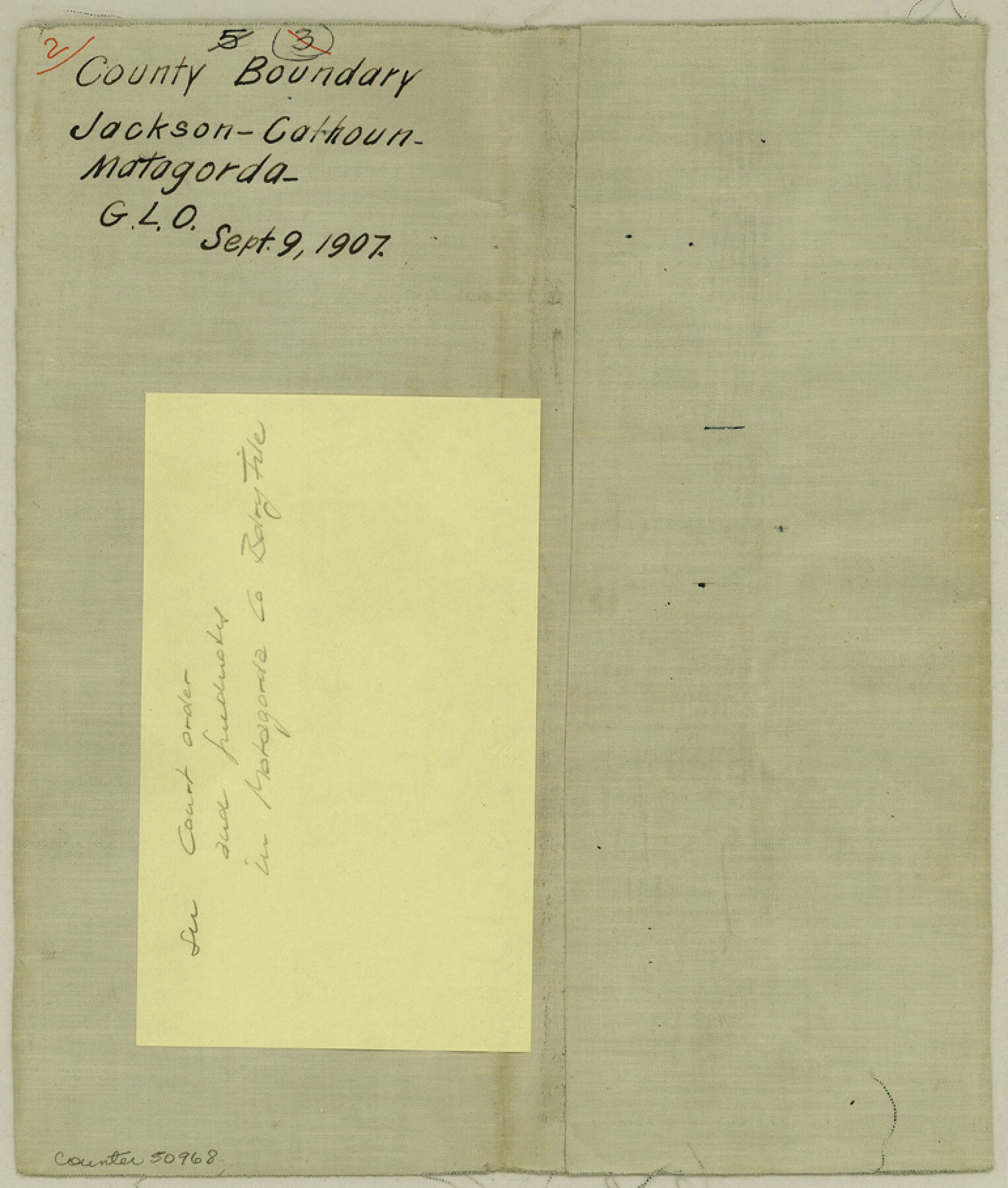
Calhoun County Boundary File 2
[Calhoun-Jackson-Matagorda]
-
Map/Doc
50968
-
Collection
General Map Collection
-
Counties
Calhoun
-
Subjects
County Boundaries
-
Height x Width
9.1 x 7.7 inches
23.1 x 19.6 cm
Part of: General Map Collection
Cochran County

Print $20.00
- Digital $50.00
Cochran County
1946
Size 30.8 x 23.1 inches
Map/Doc 77239

Marion County Boundary File 1

Print $14.00
- Digital $50.00
Marion County Boundary File 1
Size 12.9 x 8.2 inches
Map/Doc 56822
Current Miscellaneous File 60

Print $4.00
- Digital $50.00
Current Miscellaneous File 60
1955
Size 11.9 x 9.4 inches
Map/Doc 74064
Brazoria County Sketch File 13

Print $40.00
- Digital $50.00
Brazoria County Sketch File 13
Size 23.8 x 23.0 inches
Map/Doc 10950
Flight Mission No. BRA-7M, Frame 34, Jefferson County

Print $20.00
- Digital $50.00
Flight Mission No. BRA-7M, Frame 34, Jefferson County
1953
Size 18.6 x 22.3 inches
Map/Doc 85485

Tom Green County Boundary File 5

Print $44.00
- Digital $50.00
Tom Green County Boundary File 5
Size 14.4 x 8.8 inches
Map/Doc 59363
Randall County Boundary File 4

Print $10.00
- Digital $50.00
Randall County Boundary File 4
Size 14.4 x 8.9 inches
Map/Doc 58129
Val Verde County Working Sketch 89

Print $20.00
- Digital $50.00
Val Verde County Working Sketch 89
1974
Size 24.5 x 29.0 inches
Map/Doc 72224
Real County Working Sketch 81

Print $20.00
- Digital $50.00
Real County Working Sketch 81
1984
Size 19.9 x 17.1 inches
Map/Doc 71973
Castro County Sketch File 15

Print $4.00
- Digital $50.00
Castro County Sketch File 15
1978
Size 11.2 x 8.7 inches
Map/Doc 17511
You may also like
Somervell County Rolled Sketch D

Print $20.00
- Digital $50.00
Somervell County Rolled Sketch D
1939
Size 17.3 x 21.0 inches
Map/Doc 7794
Val Verde County Working Sketch 62

Print $40.00
- Digital $50.00
Val Verde County Working Sketch 62
1959
Size 38.3 x 56.6 inches
Map/Doc 72197
Zapata County Working Sketch 11

Print $20.00
- Digital $50.00
Zapata County Working Sketch 11
1958
Size 38.1 x 28.7 inches
Map/Doc 62062
A Map of Part of Matagorda Peninsula, State of Texas

Print $40.00
- Digital $50.00
A Map of Part of Matagorda Peninsula, State of Texas
1856
Size 34.4 x 54.2 inches
Map/Doc 69980
Terrell County Working Sketch 49

Print $20.00
- Digital $50.00
Terrell County Working Sketch 49
1958
Size 22.2 x 37.5 inches
Map/Doc 62142
Upper Galveston Bay, Houston Ship Channel, Dollar Pt. to Atkinson I.

Print $40.00
- Digital $50.00
Upper Galveston Bay, Houston Ship Channel, Dollar Pt. to Atkinson I.
1992
Size 49.2 x 37.0 inches
Map/Doc 69899

Americae Nova Descriptio

Print $20.00
- Digital $50.00
Americae Nova Descriptio
1652
Size 19.7 x 23.5 inches
Map/Doc 95370
Garden City Townsite, Section 5, Range 4 South, Block 33

Print $2.00
- Digital $50.00
Garden City Townsite, Section 5, Range 4 South, Block 33
1886
Size 9.0 x 15.4 inches
Map/Doc 90763
Trinity River, Kaufman Sheet/Kings Creek

Print $6.00
- Digital $50.00
Trinity River, Kaufman Sheet/Kings Creek
1930
Size 32.6 x 27.0 inches
Map/Doc 65228
United States - Gulf Coast - Galveston to Rio Grande

Print $20.00
- Digital $50.00
United States - Gulf Coast - Galveston to Rio Grande
Size 27.9 x 18.3 inches
Map/Doc 72739
San Augustine County Sketch File 1

Print $4.00
San Augustine County Sketch File 1
1849
Size 9.3 x 8.2 inches
Map/Doc 35631