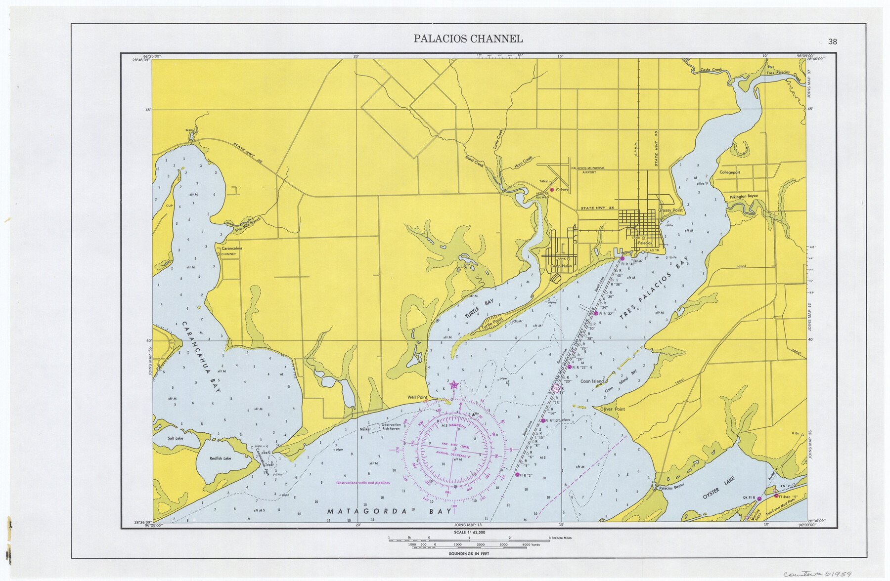
Maps of Gulf Intracoastal Waterway, Texas - Sabine River to the Rio Grande and connecting waterways including ship channels
-
Map/Doc
61959
-
Collection
General Map Collection
-
Object Dates
1966 (Creation Date)
-
Subjects
Intracoastal Waterways
-
Height x Width
14.6 x 22.3 inches
37.1 x 56.6 cm
Part of: General Map Collection
Encinal County

Print $20.00
- Digital $50.00
Encinal County
1895
Size 34.4 x 24.0 inches
Map/Doc 3516
Mason County Sketch File 8

Print $4.00
- Digital $50.00
Mason County Sketch File 8
1876
Size 13.2 x 8.4 inches
Map/Doc 30691
Liberty County Working Sketch 32

Print $20.00
- Digital $50.00
Liberty County Working Sketch 32
1945
Size 29.1 x 46.3 inches
Map/Doc 70491
Flight Mission No. BRA-7M, Frame 207, Jefferson County

Print $20.00
- Digital $50.00
Flight Mission No. BRA-7M, Frame 207, Jefferson County
1953
Size 18.6 x 22.3 inches
Map/Doc 85575
Ochiltree County Working Sketch 6

Print $20.00
- Digital $50.00
Ochiltree County Working Sketch 6
1962
Size 31.1 x 22.9 inches
Map/Doc 71319
Lavaca County Working Sketch 10

Print $20.00
- Digital $50.00
Lavaca County Working Sketch 10
1952
Size 19.1 x 23.8 inches
Map/Doc 70363
Borden County Boundary File 6

Print $28.00
- Digital $50.00
Borden County Boundary File 6
1908
Size 11.3 x 25.1 inches
Map/Doc 1717
Runnels County Sketch File E

Print $6.00
Runnels County Sketch File E
1895
Size 12.7 x 8.3 inches
Map/Doc 35481
El Paso County Working Sketch 30

Print $40.00
- Digital $50.00
El Paso County Working Sketch 30
1967
Size 32.0 x 65.8 inches
Map/Doc 69052
Amistad International Reservoir on Rio Grande 72

Print $20.00
- Digital $50.00
Amistad International Reservoir on Rio Grande 72
1949
Size 28.4 x 39.6 inches
Map/Doc 73360
Webb County Working Sketch 66

Print $40.00
- Digital $50.00
Webb County Working Sketch 66
1966
Size 62.8 x 42.5 inches
Map/Doc 72433
San Jacinto River, Water Sheds of the San Jacinto River and Buffalo Bayou

Print $4.00
- Digital $50.00
San Jacinto River, Water Sheds of the San Jacinto River and Buffalo Bayou
Size 28.8 x 20.0 inches
Map/Doc 65149
You may also like
Brewster County Working Sketch 114

Print $20.00
- Digital $50.00
Brewster County Working Sketch 114
1983
Size 36.0 x 31.7 inches
Map/Doc 67714
Map of Atascosa County

Print $20.00
- Digital $50.00
Map of Atascosa County
1879
Size 24.5 x 24.8 inches
Map/Doc 3250
Coast Chart No. 210 Aransas Pass and Corpus Christi Bay with the coast to latitude 27° 12' Texas

Print $20.00
- Digital $50.00
Coast Chart No. 210 Aransas Pass and Corpus Christi Bay with the coast to latitude 27° 12' Texas
1887
Size 27.1 x 18.5 inches
Map/Doc 72788
[H. & G. N. Block 12 and surveys and blocks south]
![91610, [H. & G. N. Block 12 and surveys and blocks south], Twichell Survey Records](https://historictexasmaps.com/wmedia_w700/maps/91610-1.tif.jpg)
Print $20.00
- Digital $50.00
[H. & G. N. Block 12 and surveys and blocks south]
1907
Size 27.9 x 24.0 inches
Map/Doc 91610
Bandera County Working Sketch 10

Print $20.00
- Digital $50.00
Bandera County Working Sketch 10
1922
Size 17.9 x 19.4 inches
Map/Doc 67603
Kent County Working Sketch 8

Print $20.00
- Digital $50.00
Kent County Working Sketch 8
1952
Size 27.2 x 37.1 inches
Map/Doc 70015
Brewster County Sketch File NS-4a

Print $13.00
- Digital $50.00
Brewster County Sketch File NS-4a
Size 9.3 x 14.2 inches
Map/Doc 15953
Wichita County Sketch File 18

Print $6.00
- Digital $50.00
Wichita County Sketch File 18
1890
Size 14.0 x 8.6 inches
Map/Doc 40099
Railroad Track Map, H&TCRRCo., Falls County, Texas

Print $4.00
- Digital $50.00
Railroad Track Map, H&TCRRCo., Falls County, Texas
1918
Size 11.7 x 18.5 inches
Map/Doc 62858
Concho County Working Sketch 6

Print $20.00
- Digital $50.00
Concho County Working Sketch 6
1948
Size 47.3 x 43.2 inches
Map/Doc 68188
[Scurry and Zavala County School Lands, and Blocks X, D, K, D-14, D-11, and E]
![91201, [Scurry and Zavala County School Lands, and Blocks X, D, K, D-14, D-11, and E], Twichell Survey Records](https://historictexasmaps.com/wmedia_w700/maps/91201-1.tif.jpg)
Print $20.00
- Digital $50.00
[Scurry and Zavala County School Lands, and Blocks X, D, K, D-14, D-11, and E]
Size 43.7 x 37.2 inches
Map/Doc 91201
Harrison County Sketch File 11

Print $22.00
- Digital $50.00
Harrison County Sketch File 11
1904
Size 9.2 x 9.3 inches
Map/Doc 26052