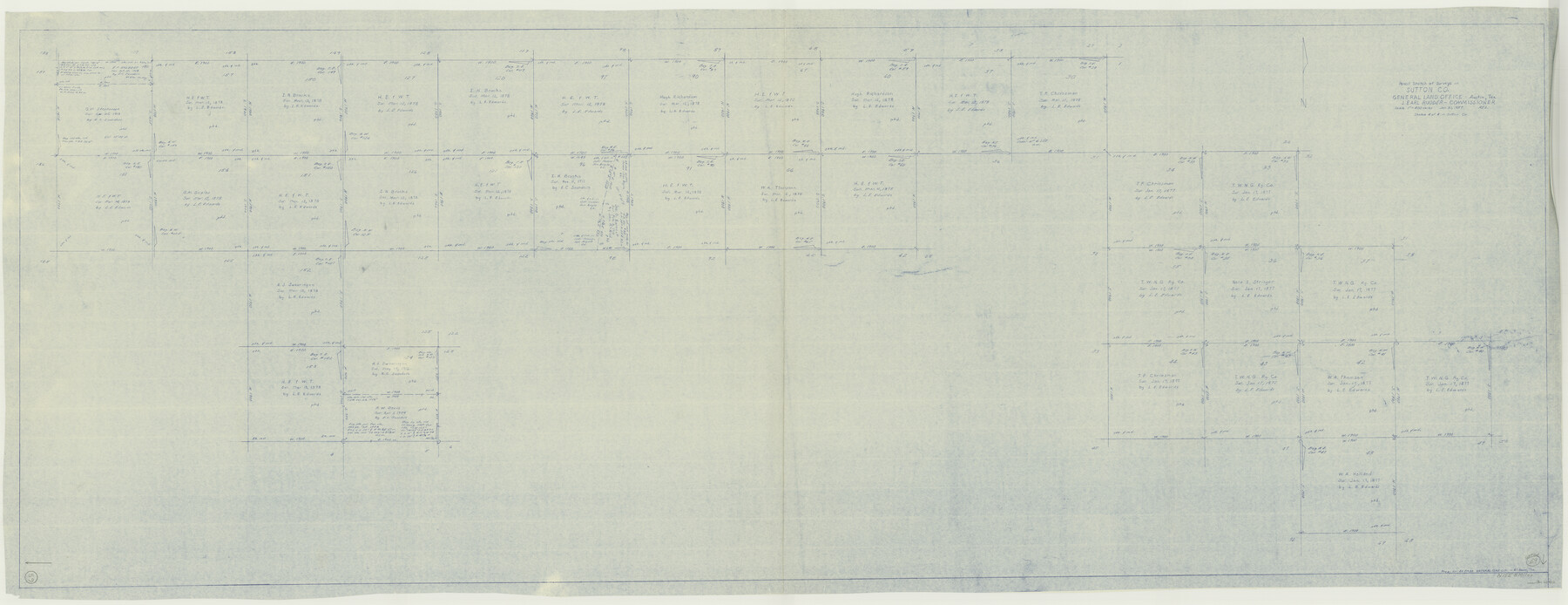
Sutton County Working Sketch 59
-
Map/Doc
62402
-
Collection
General Map Collection
-
Object Dates
1/31/1957 (Creation Date)
-
Counties
Sutton
-
Subjects
Surveying Working Sketch
-
Height x Width
30.2 x 78.4 inches
76.7 x 199.1 cm
-
Scale
1" = 400 varas
Part of: General Map Collection
Starr County Sketch File 18

Print $20.00
- Digital $50.00
Starr County Sketch File 18
1880
Size 38.2 x 25.1 inches
Map/Doc 10606
Flight Mission No. BQY-4M, Frame 63, Harris County

Print $20.00
- Digital $50.00
Flight Mission No. BQY-4M, Frame 63, Harris County
1953
Size 18.7 x 22.4 inches
Map/Doc 85272
Presidio County Working Sketch 79

Print $40.00
- Digital $50.00
Presidio County Working Sketch 79
1966
Size 42.4 x 50.5 inches
Map/Doc 71756
Edwards County Boundary File 27 1/2a

Print $56.00
- Digital $50.00
Edwards County Boundary File 27 1/2a
Size 14.1 x 8.8 inches
Map/Doc 52922
Duval County Working Sketch 51

Print $20.00
- Digital $50.00
Duval County Working Sketch 51
1986
Size 27.3 x 35.3 inches
Map/Doc 68775
Tyler County Sketch File 9

Print $4.00
- Digital $50.00
Tyler County Sketch File 9
Size 8.6 x 6.7 inches
Map/Doc 38644
Part of Laguna Madre from Mosquito Trangulation Station to Sand Triangulation Station

Print $40.00
- Digital $50.00
Part of Laguna Madre from Mosquito Trangulation Station to Sand Triangulation Station
1881
Size 34.5 x 54.6 inches
Map/Doc 73486
Bandera County Working Sketch 59

Print $20.00
- Digital $50.00
Bandera County Working Sketch 59
2003
Size 41.1 x 33.9 inches
Map/Doc 78346
Map of the Trinity Artesian Reservoirs of the Black and Grand Prairies of Texas including the Eastern and Western Cross Timbers

Print $20.00
- Digital $50.00
Map of the Trinity Artesian Reservoirs of the Black and Grand Prairies of Texas including the Eastern and Western Cross Timbers
1900
Size 32.7 x 31.9 inches
Map/Doc 75920
[Surveys along the Colorado and Navidad Rivers]
![60, [Surveys along the Colorado and Navidad Rivers], General Map Collection](https://historictexasmaps.com/wmedia_w700/maps/60.tif.jpg)
Print $20.00
- Digital $50.00
[Surveys along the Colorado and Navidad Rivers]
1840
Size 28.6 x 22.5 inches
Map/Doc 60
Matagorda County NRC Article 33.136 Sketch 1

Print $21.00
- Digital $50.00
Matagorda County NRC Article 33.136 Sketch 1
2004
Size 17.6 x 23.1 inches
Map/Doc 82920

You may also like
Map of the United States engraved to illustrate Mitchell's new intermediate geography

Print $20.00
- Digital $50.00
Map of the United States engraved to illustrate Mitchell's new intermediate geography
1885
Size 12.2 x 18.5 inches
Map/Doc 93514
San Jacinto County Sketch File 9

Print $4.00
San Jacinto County Sketch File 9
1860
Size 8.7 x 11.7 inches
Map/Doc 35712
Map of Brazos County, Texas

Print $40.00
- Digital $50.00
Map of Brazos County, Texas
1926
Size 89.6 x 55.1 inches
Map/Doc 93648
Lamar County Boundary File 56

Print $60.00
- Digital $50.00
Lamar County Boundary File 56
Size 8.7 x 6.4 inches
Map/Doc 56000
Winkler County Working Sketch 11

Print $40.00
- Digital $50.00
Winkler County Working Sketch 11
1960
Size 28.5 x 81.4 inches
Map/Doc 72605
Jones County Working Sketch 9

Print $20.00
- Digital $50.00
Jones County Working Sketch 9
1980
Size 17.4 x 22.3 inches
Map/Doc 66647
Orange County Sketch File 39

Print $20.00
- Digital $50.00
Orange County Sketch File 39
1964
Size 24.2 x 27.9 inches
Map/Doc 12127
Zavala County Working Sketch 13

Print $20.00
- Digital $50.00
Zavala County Working Sketch 13
1975
Size 20.1 x 27.4 inches
Map/Doc 62088
Bastrop County Working Sketch Graphic Index

Print $40.00
- Digital $50.00
Bastrop County Working Sketch Graphic Index
1955
Size 49.6 x 40.9 inches
Map/Doc 76462
Childress County

Print $20.00
- Digital $50.00
Childress County
1883
Size 20.8 x 19.0 inches
Map/Doc 3394
Harris County Working Sketch 104

Print $20.00
- Digital $50.00
Harris County Working Sketch 104
1980
Size 17.2 x 10.3 inches
Map/Doc 65996
Kendall County Sketch File 16a

Print $40.00
- Digital $50.00
Kendall County Sketch File 16a
1891
Size 15.3 x 13.7 inches
Map/Doc 28707